Elevation of Mendota, CA, USA
Location: United States > California > Fresno County >
Longitude: -120.38155
Latitude: 36.7535611
Elevation: 53m / 174feet
Barometric Pressure: 101KPa
Elevation Map:
Satellite Map:
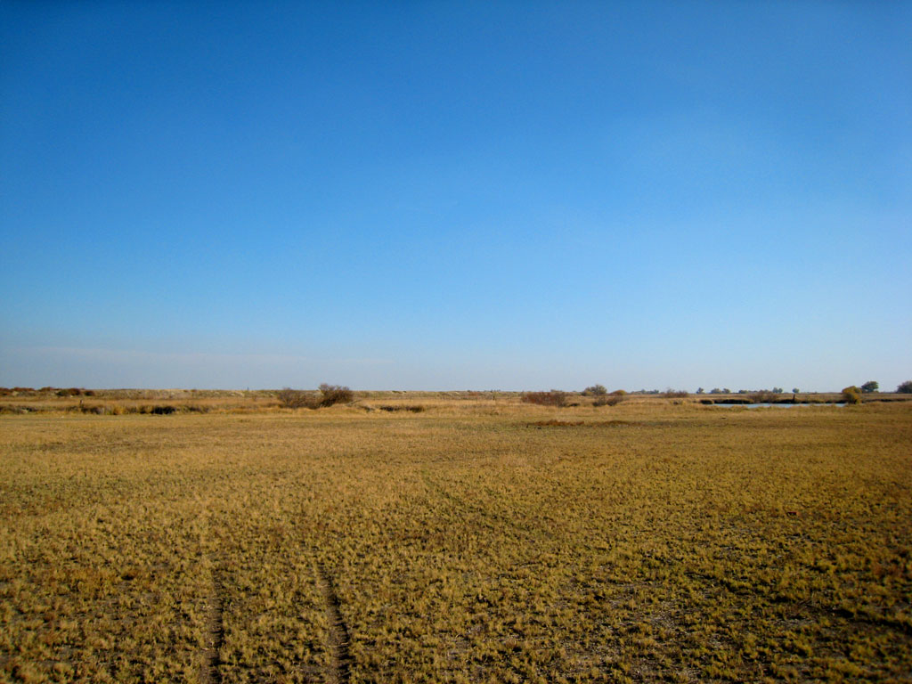
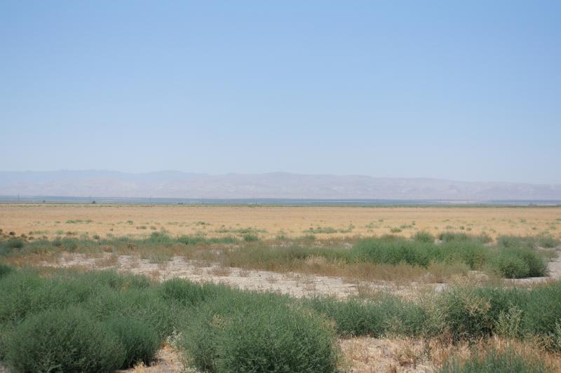
Related Photos:

And seek!!!

I Screen My Phone Calls...
Moon over Tranquillity

rear view

It's In the Trees
2007111810.jpg
Mendota Pool Fresno Co 10
2007111816.jpg
200711188.jpg
California 2012 07
Topographic Map of Mendota, CA, USA
Find elevation by address:

Places in Mendota, CA, USA:
Places near Mendota, CA, USA:
Pucheu St, Mendota, CA, USA
1042 Pucheu St
CA-33, Firebaugh, CA, USA
Wonderful Orchards, New Columbia Division
1350 P St
S Washoe Ave, Mendota, CA, USA
W Whitesbridge Ave, Kerman, CA, USA
Firebaugh
W Bullard Ave, Firebaugh, CA, USA
S James Rd, Kerman, CA, USA
Brannon Ave, Firebaugh, CA, USA
N Dos Palos Rd, Dos Palos, CA, USA
San Joaquin
Main, San Joaquin, CA, USA
W Belmont Ave, Firebaugh, CA, USA
Ave 18 1/2, Chowchilla, CA, USA
Ave 9, Madera, CA, USA
Kerman
10636 Rd 25
20330 Lincoln Rd
Recent Searches:
- Elevation of Corso Fratelli Cairoli, 35, Macerata MC, Italy
- Elevation of Tallevast Rd, Sarasota, FL, USA
- Elevation of 4th St E, Sonoma, CA, USA
- Elevation of Black Hollow Rd, Pennsdale, PA, USA
- Elevation of Oakland Ave, Williamsport, PA, USA
- Elevation of Pedrógão Grande, Portugal
- Elevation of Klee Dr, Martinsburg, WV, USA
- Elevation of Via Roma, Pieranica CR, Italy
- Elevation of Tavkvetili Mountain, Georgia
- Elevation of Hartfords Bluff Cir, Mt Pleasant, SC, USA