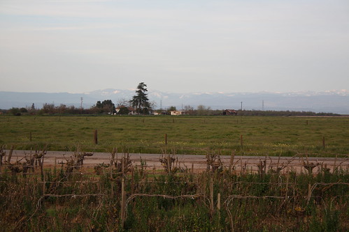
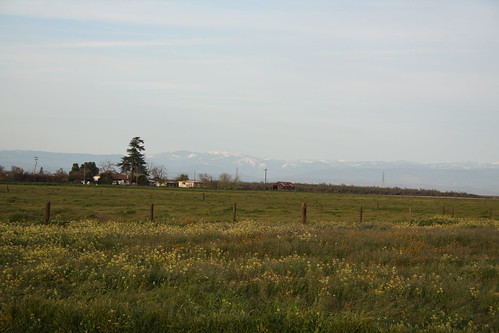
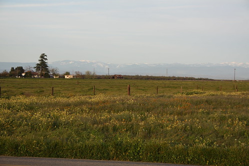
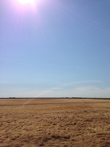
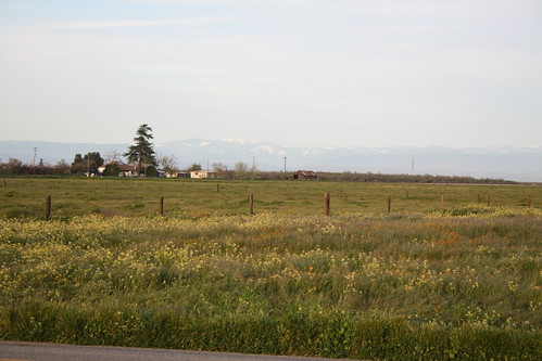
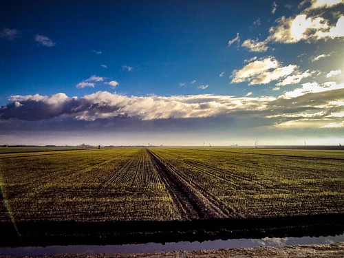
Elevation of Rd 25, Madera, CA, USA
Location: United States > California > Madera County > Madera >
Longitude: -120.09472
Latitude: 36.903376
Elevation: -10000m / -32808feet
Barometric Pressure: 295KPa
Related Photos:
Topographic Map of Rd 25, Madera, CA, USA
Find elevation by address:

Places near Rd 25, Madera, CA, USA:
Ave 9, Madera, CA, USA
Road 26
447 Chestnut Ave
543 Sunnydale Ct
2300 Riverview Dr
Madera
CA-99, Madera, CA, USA
Wood St, Madera, CA, USA
Parksdale
17586 Lane Dr
18643 Norwalk Dr
18725 Rd 25 1/2
Fonda Ave, Madera, CA, USA
N Biola Ave, Fresno, CA, USA
Donald Ave, Madera, CA, USA
W Barstow Ave, Fresno, CA, USA
Ave 9, Madera, CA, USA
21196 Road 29
Rd 30 1/2, Madera, CA, USA
Ave 21 1/2, Madera, CA, USA
Recent Searches:
- Elevation of Corso Fratelli Cairoli, 35, Macerata MC, Italy
- Elevation of Tallevast Rd, Sarasota, FL, USA
- Elevation of 4th St E, Sonoma, CA, USA
- Elevation of Black Hollow Rd, Pennsdale, PA, USA
- Elevation of Oakland Ave, Williamsport, PA, USA
- Elevation of Pedrógão Grande, Portugal
- Elevation of Klee Dr, Martinsburg, WV, USA
- Elevation of Via Roma, Pieranica CR, Italy
- Elevation of Tavkvetili Mountain, Georgia
- Elevation of Hartfords Bluff Cir, Mt Pleasant, SC, USA
