Elevation of Van Buren Rd, Caribou, ME, USA
| Latitude | 46.8796557 |
|---|---|
| Longitude | -68.0082891 |
| Elevation | 177m / 581feet |
| Barometric Pressure | 992KPa |
Related Photos:
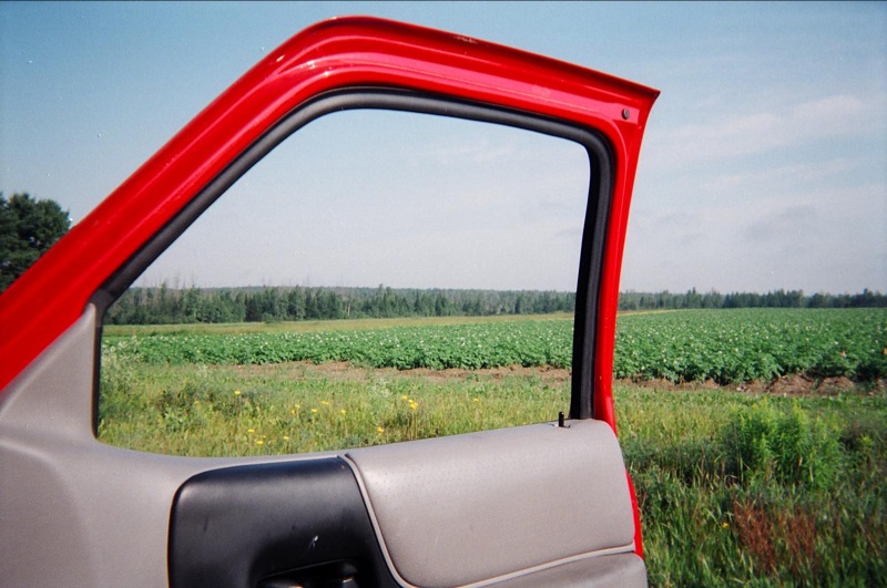
View, Maine, on the way to "It"

Rain does make for some damn nice views when it passes. #loring2015

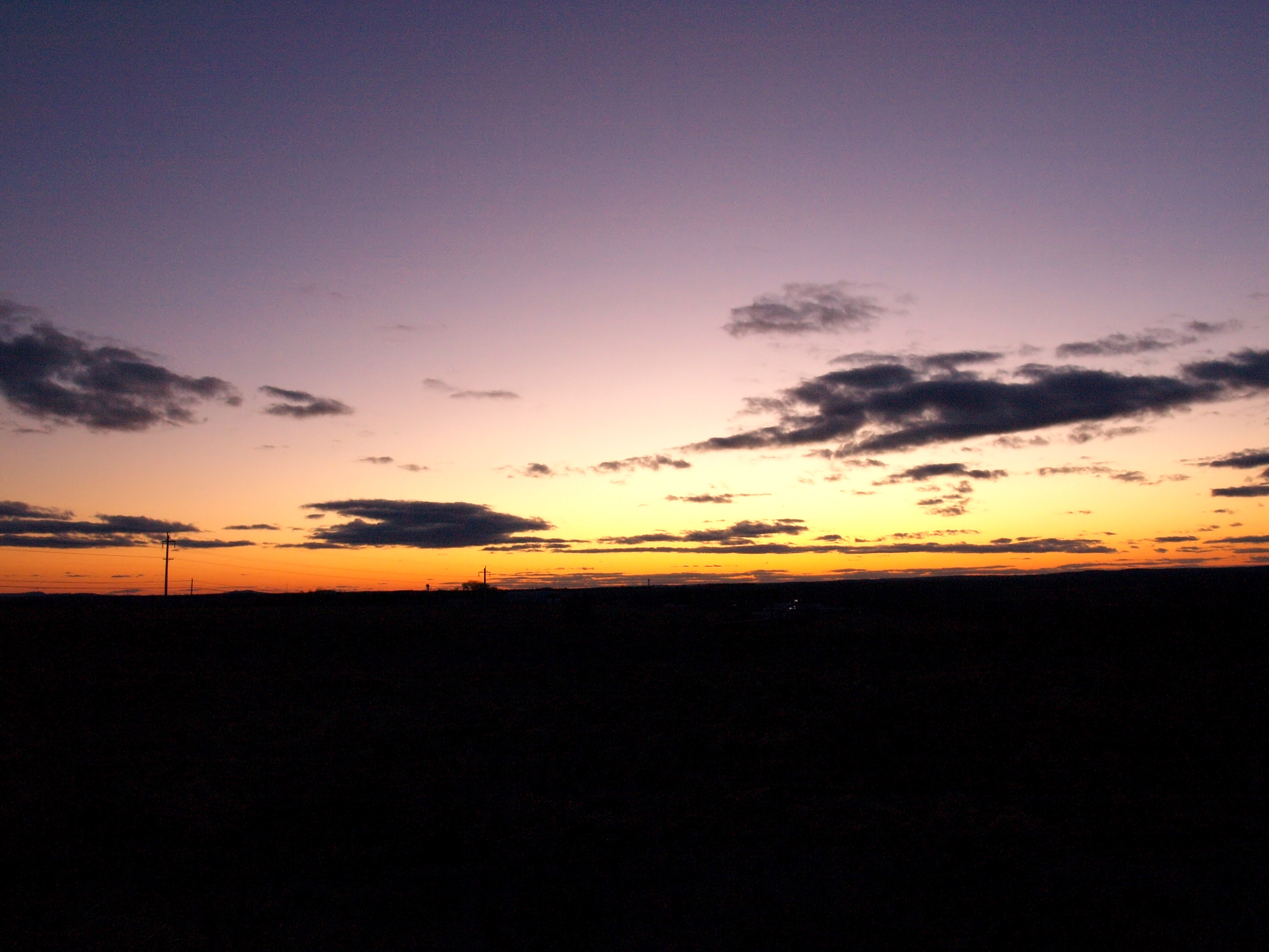
sunset-2-27-04b
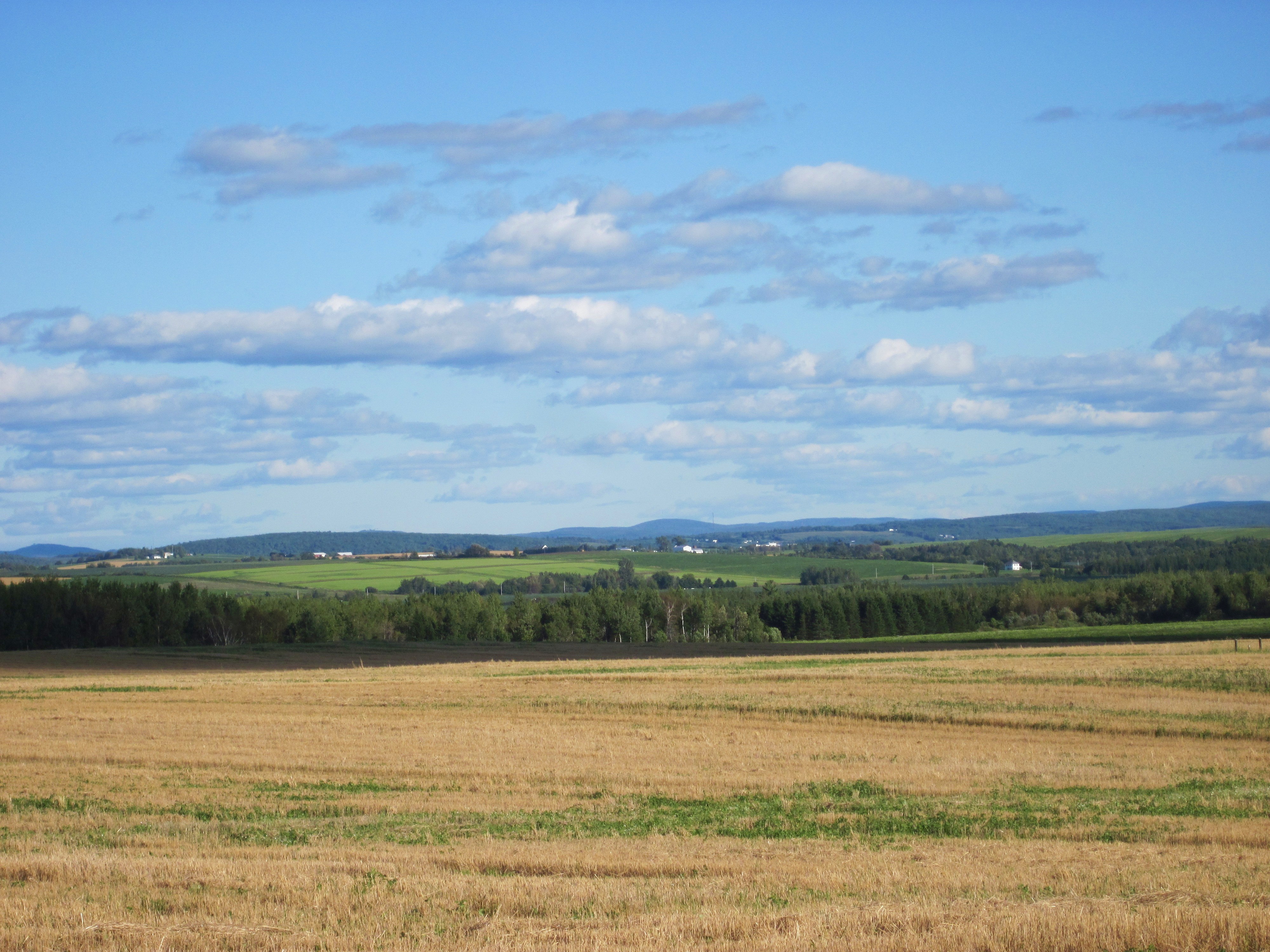
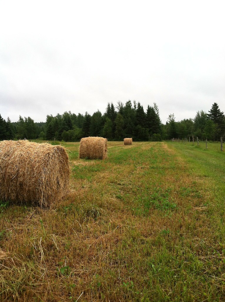
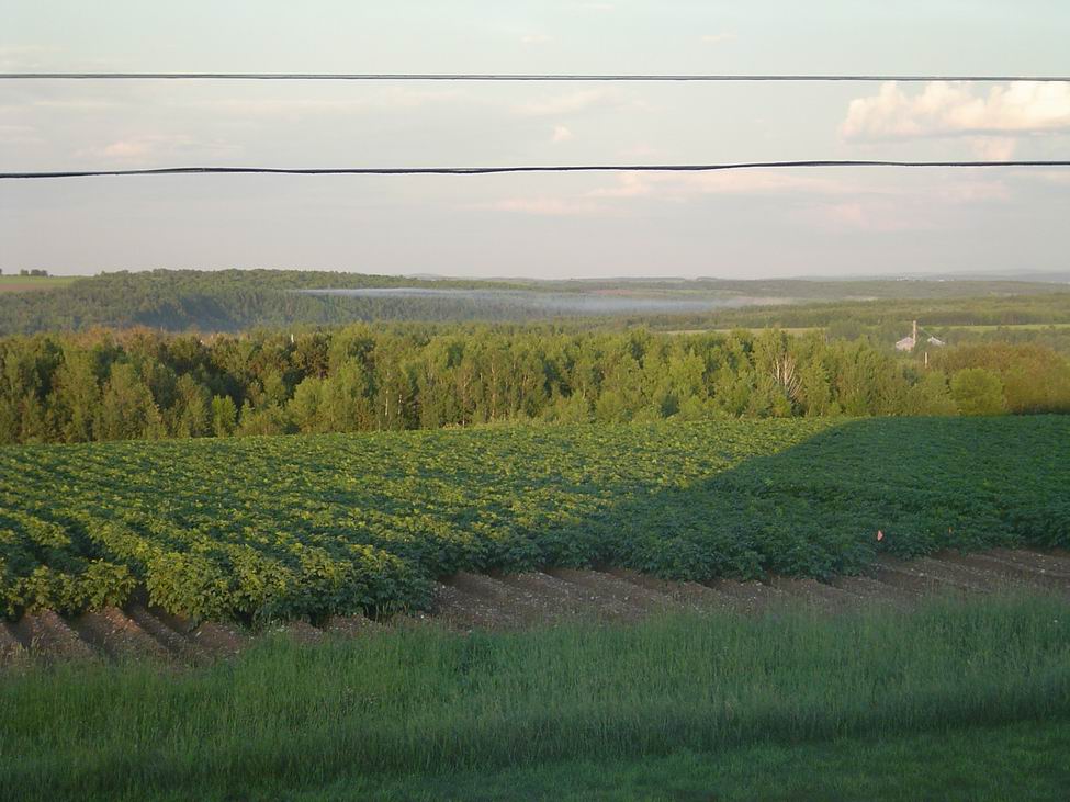
Aroostook County: Rolling Fields

shelfcloud-7-31-04b
POL Tanks
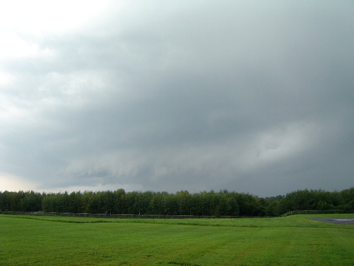
shelfcloud-7-31-04a
Building 943
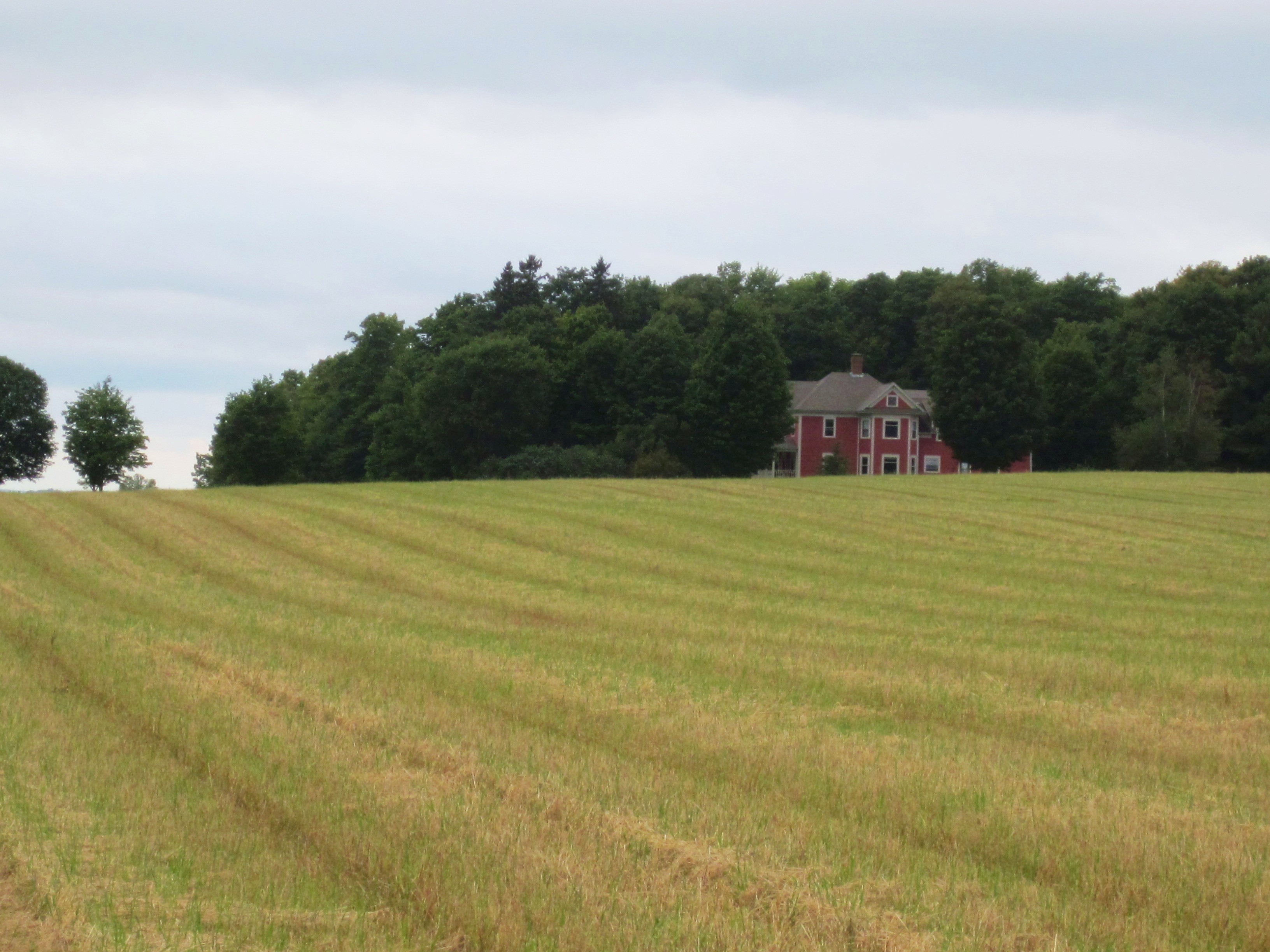
Aroostook County: Red House
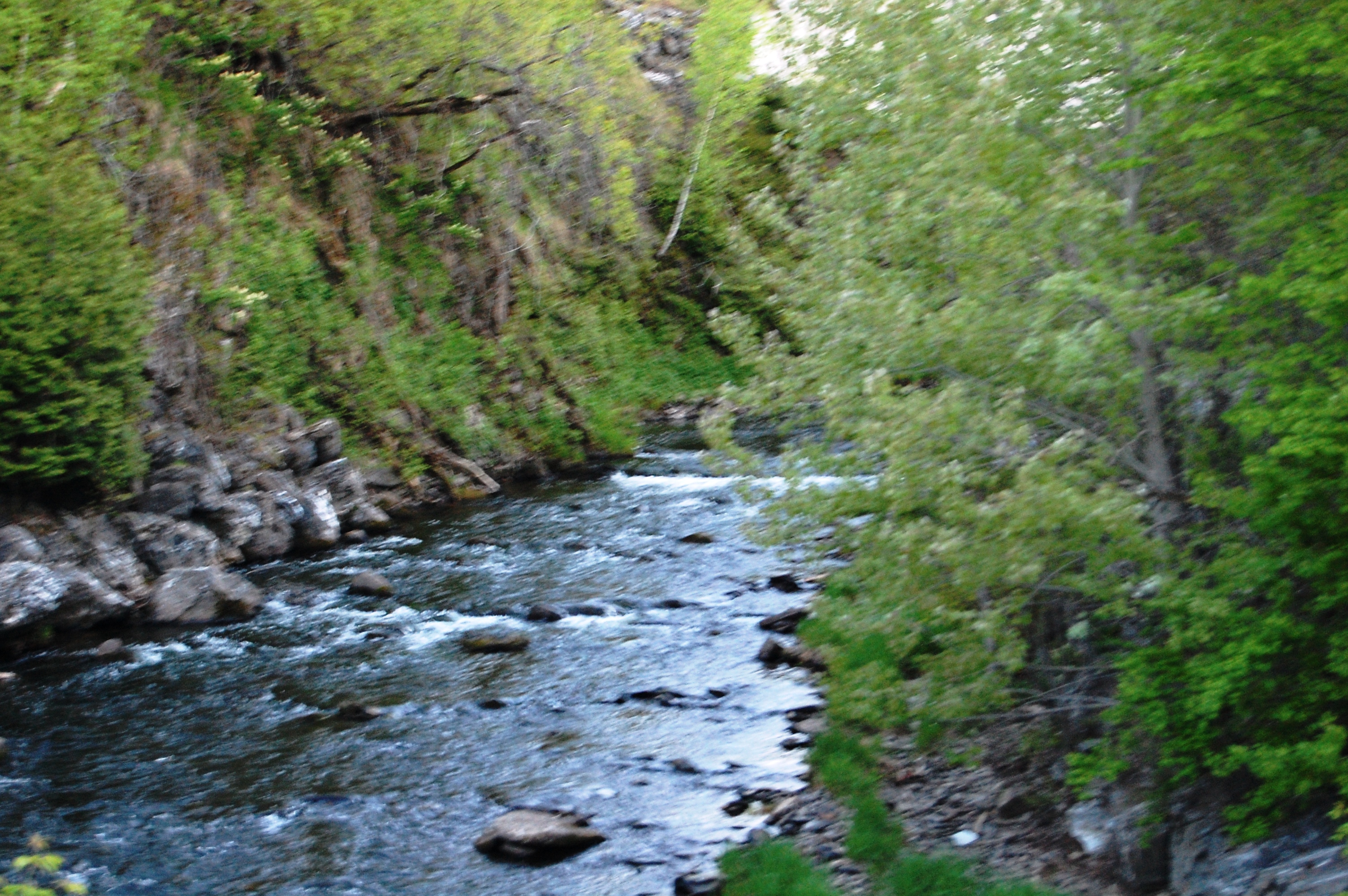
Aroostook River
July 20, 2013

@Jflynn250 #loring2015
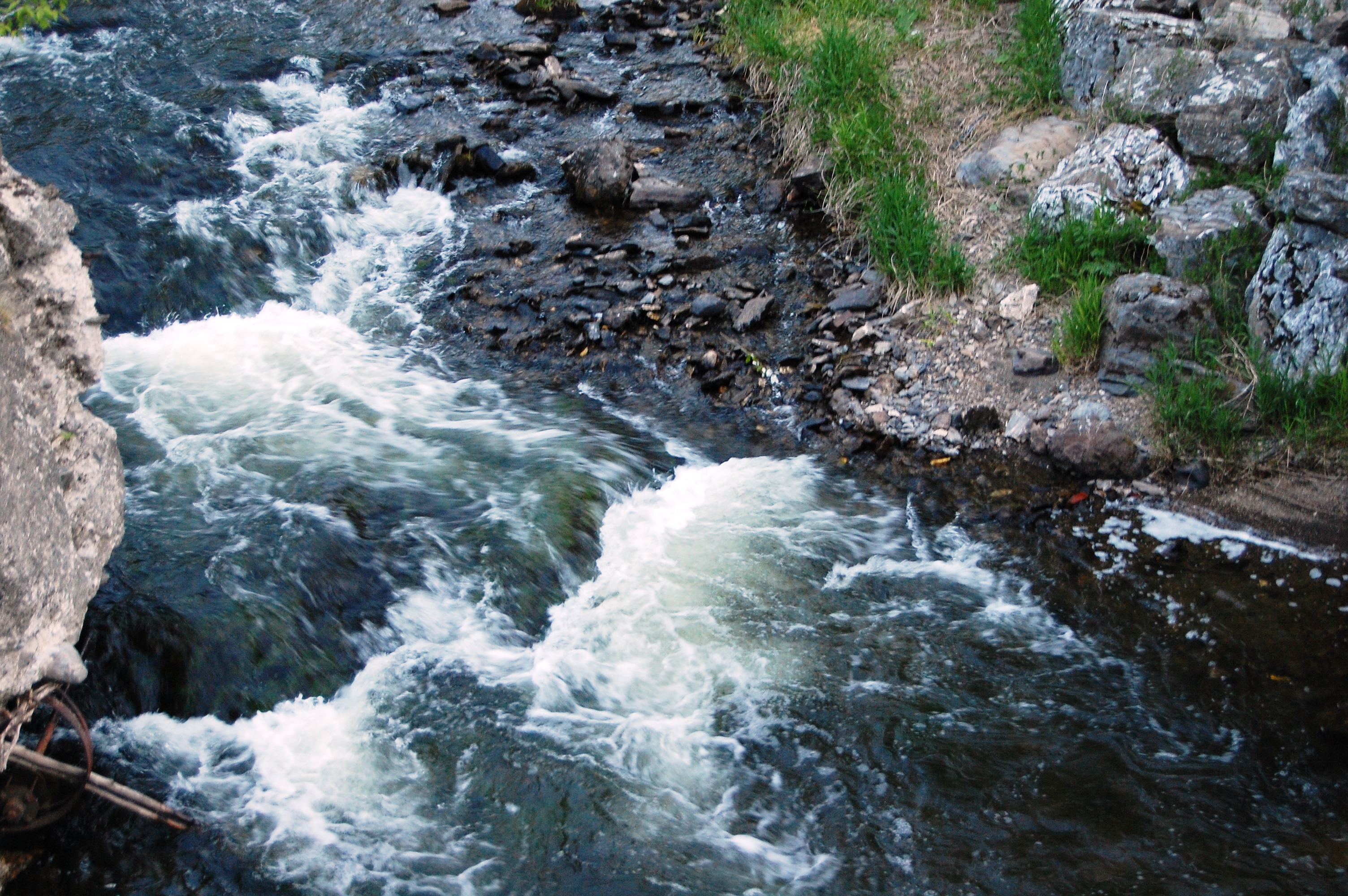
Aroostook River
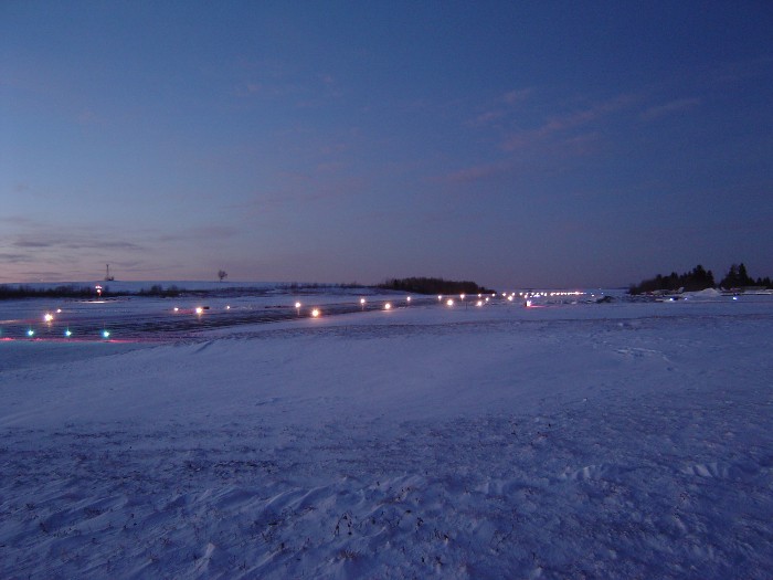
sunset-runway

sunset-8-24-04d
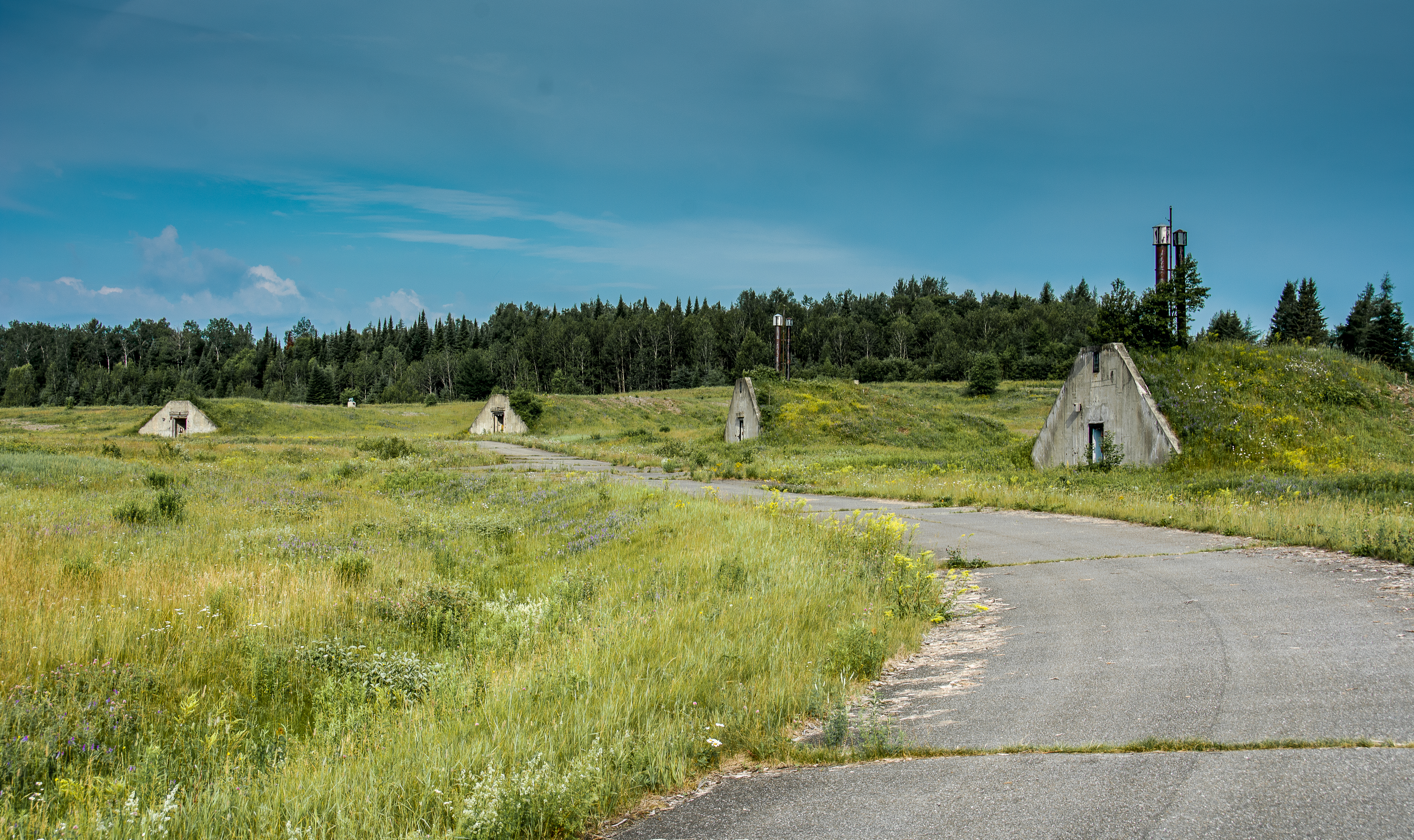
Nuclear War Head Bunkers
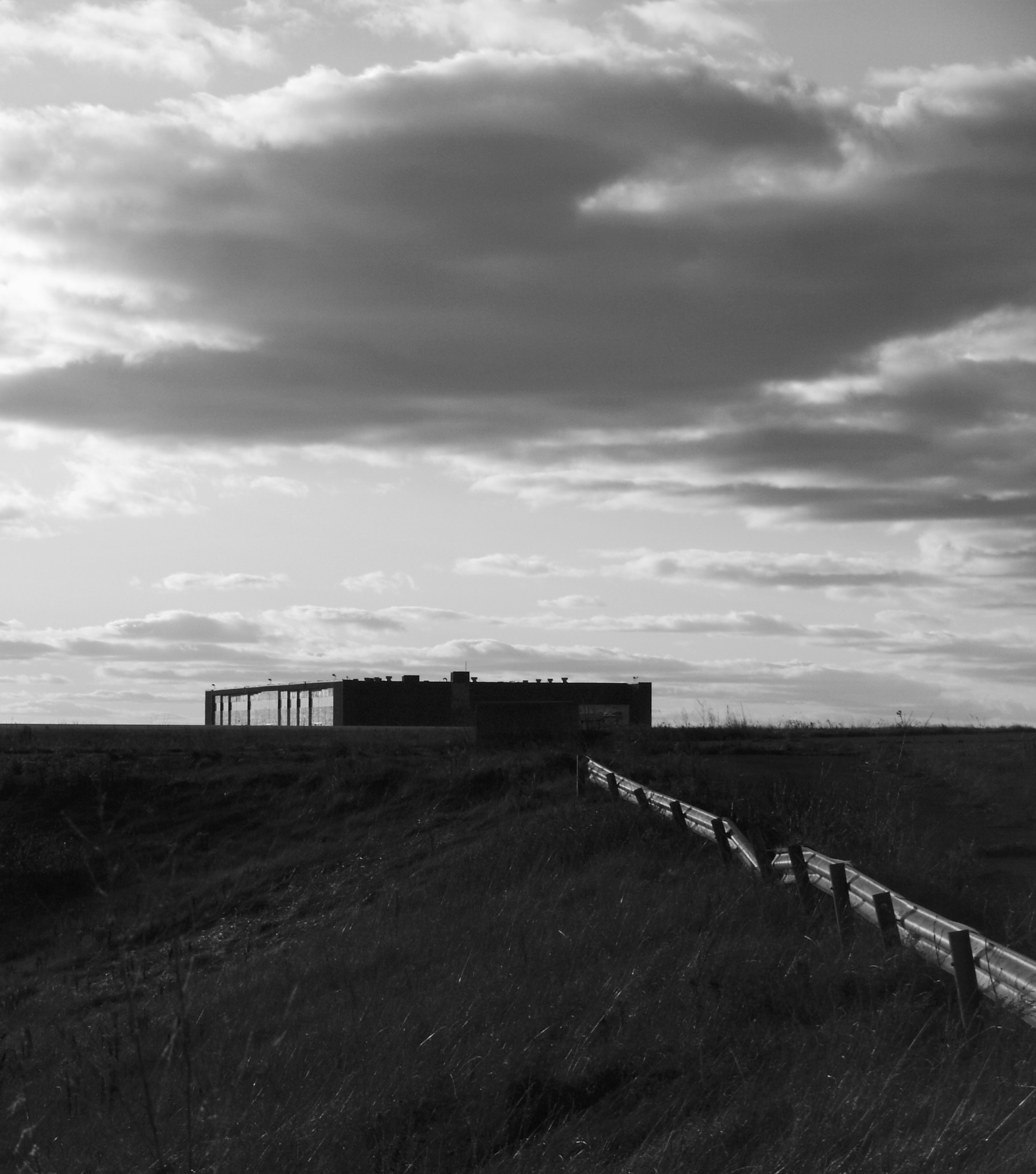
DC Hanger

The Greatest Love Affair
fog forming

snow-12-15-03l

Fields of Gold

sunset-6-13-04c
Topographic Map of Van Buren Rd, Caribou, ME, USA
Find elevation by address:
Places near Van Buren Rd, Caribou, ME, USA:
Caribou
15 Sweden St, Caribou, ME, USA
33 Main Siding Rd, Caribou, ME, USA
Mcintyre Road
895 Carson Rd
Haney Road
S Caribou Rd, Fort Fairfield, ME, USA
New Sweden
Woodland Center Rd, Woodland, ME, USA
S Caribou Rd, Fort Fairfield, ME, USA
Reach Road
Strickland Rd, Fort Fairfield, ME, USA
13 Jepson Rd, New Sweden, ME, USA
Washburn Rd, Washburn, ME, USA
69 Caribou Rd
178 Carson Rd
89 State St, Presque Isle, ME, USA
Washburn
State Road Advent Christian Church
Caswell
Recent Searches:
- Elevation of Burnt Store Village, Charlotte County, Florida, 33955, USA
- Elevation of 26552, Angelica Road, Punta Gorda, Charlotte County, Florida, 33955, USA
- Elevation of 104, Chancery Road, Middletown Township, Bucks County, Pennsylvania, 19047, USA
- Elevation of 1212, Cypress Lane, Dayton, Liberty County, Texas, 77535, USA
- Elevation map of Central Hungary, Hungary
- Elevation map of Pest, Central Hungary, Hungary
- Elevation of Pilisszentkereszt, Pest, Central Hungary, Hungary
- Elevation of Dharamkot Tahsil, Punjab, India
- Elevation of Bhinder Khurd, Dharamkot Tahsil, Punjab, India
- Elevation of 2881, Chabot Drive, San Bruno, San Mateo County, California, 94066, USA
- Elevation of 10370, West 107th Circle, Westminster, Jefferson County, Colorado, 80021, USA
- Elevation of 611, Roman Road, Old Ford, Bow, London, England, E3 2RW, United Kingdom
- Elevation of 116, Beartown Road, Underhill, Chittenden County, Vermont, 05489, USA
- Elevation of Window Rock, Colfax County, New Mexico, 87714, USA
- Elevation of 4807, Rosecroft Street, Kempsville Gardens, Virginia Beach, Virginia, 23464, USA
- Elevation map of Matawinie, Quebec, Canada
- Elevation of Sainte-Émélie-de-l'Énergie, Matawinie, Quebec, Canada
- Elevation of Rue du Pont, Sainte-Émélie-de-l'Énergie, Matawinie, Quebec, J0K2K0, Canada
- Elevation of 8, Rue de Bécancour, Blainville, Thérèse-De Blainville, Quebec, J7B1N2, Canada
- Elevation of Wilmot Court North, 163, University Avenue West, Northdale, Waterloo, Region of Waterloo, Ontario, N2L6B6, Canada