Elevation of 15 Sweden St, Caribou, ME, USA
Location: United States > Maine > Aroostook County > Caribou >
Longitude: -68.012592
Latitude: 46.8605268
Elevation: 136m / 446feet
Barometric Pressure: 100KPa
Elevation Map:
Satellite Map:
Related Photos:

Rain does make for some damn nice views when it passes. #loring2015
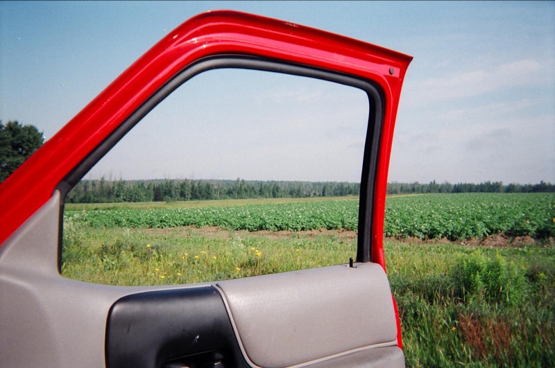
View, Maine, on the way to "It"

My View

Day 2. #CMC #loringafb #autox

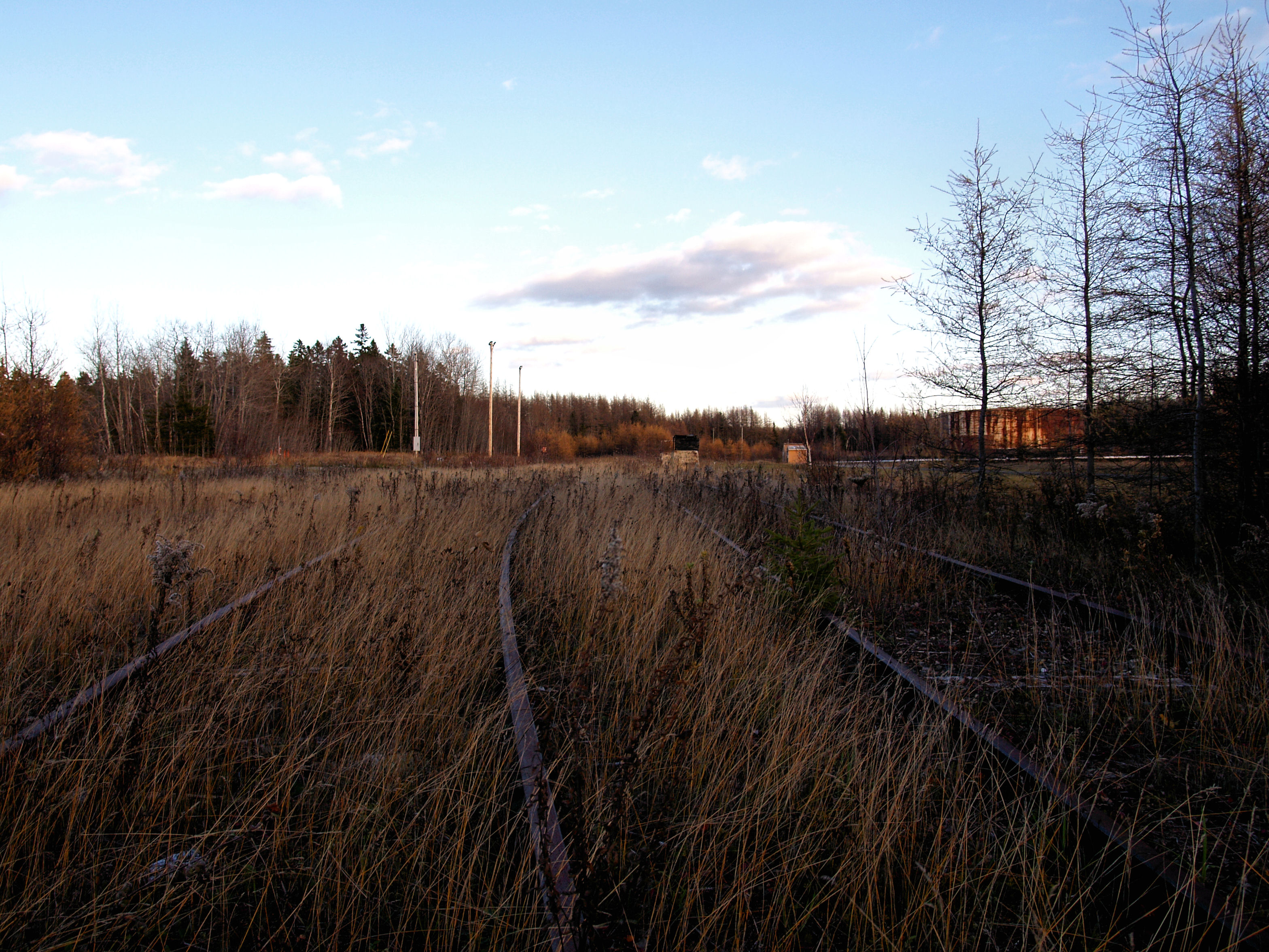
Loring AFB: Aroostook NWR Roadside Marsh
POL Tanks

@Jflynn250 #loring2015
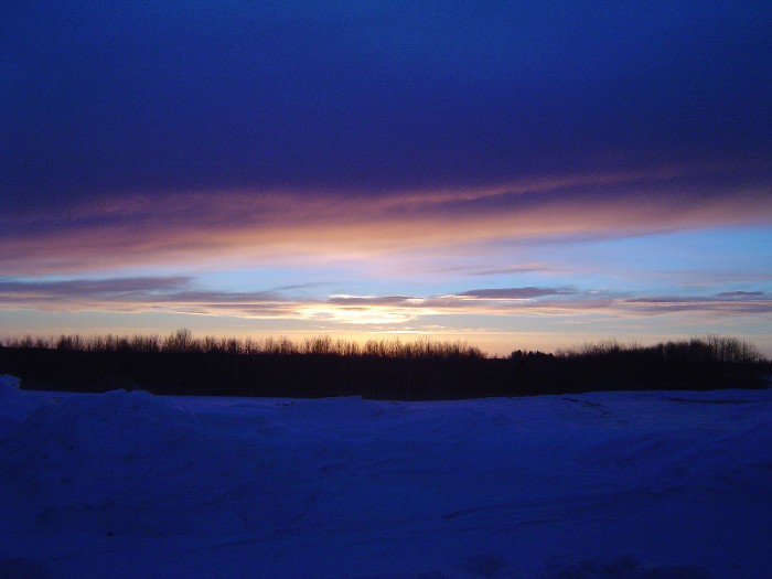
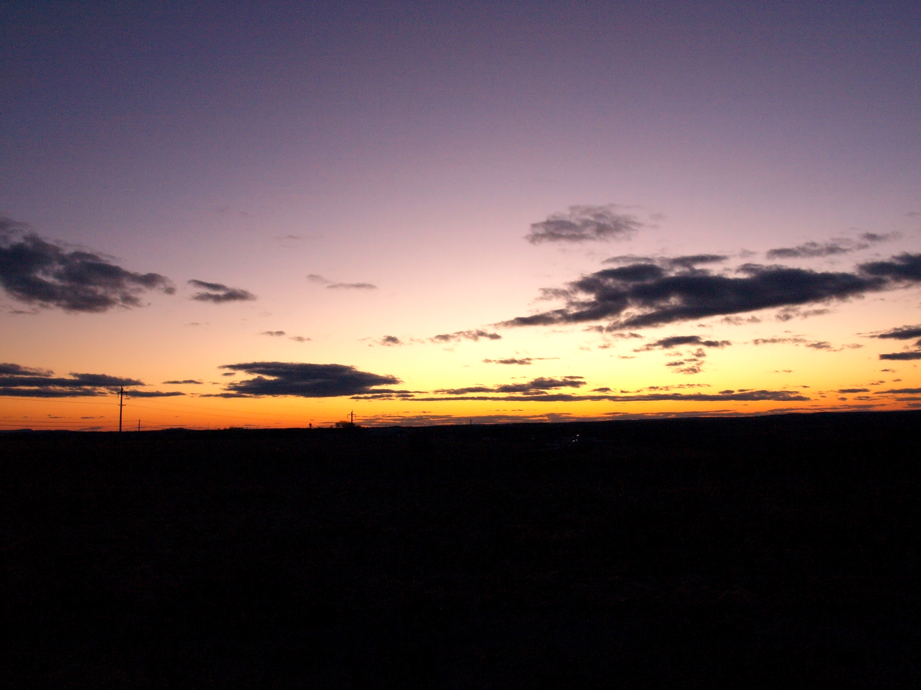
sunset-2-27-04b
July 18, 2013
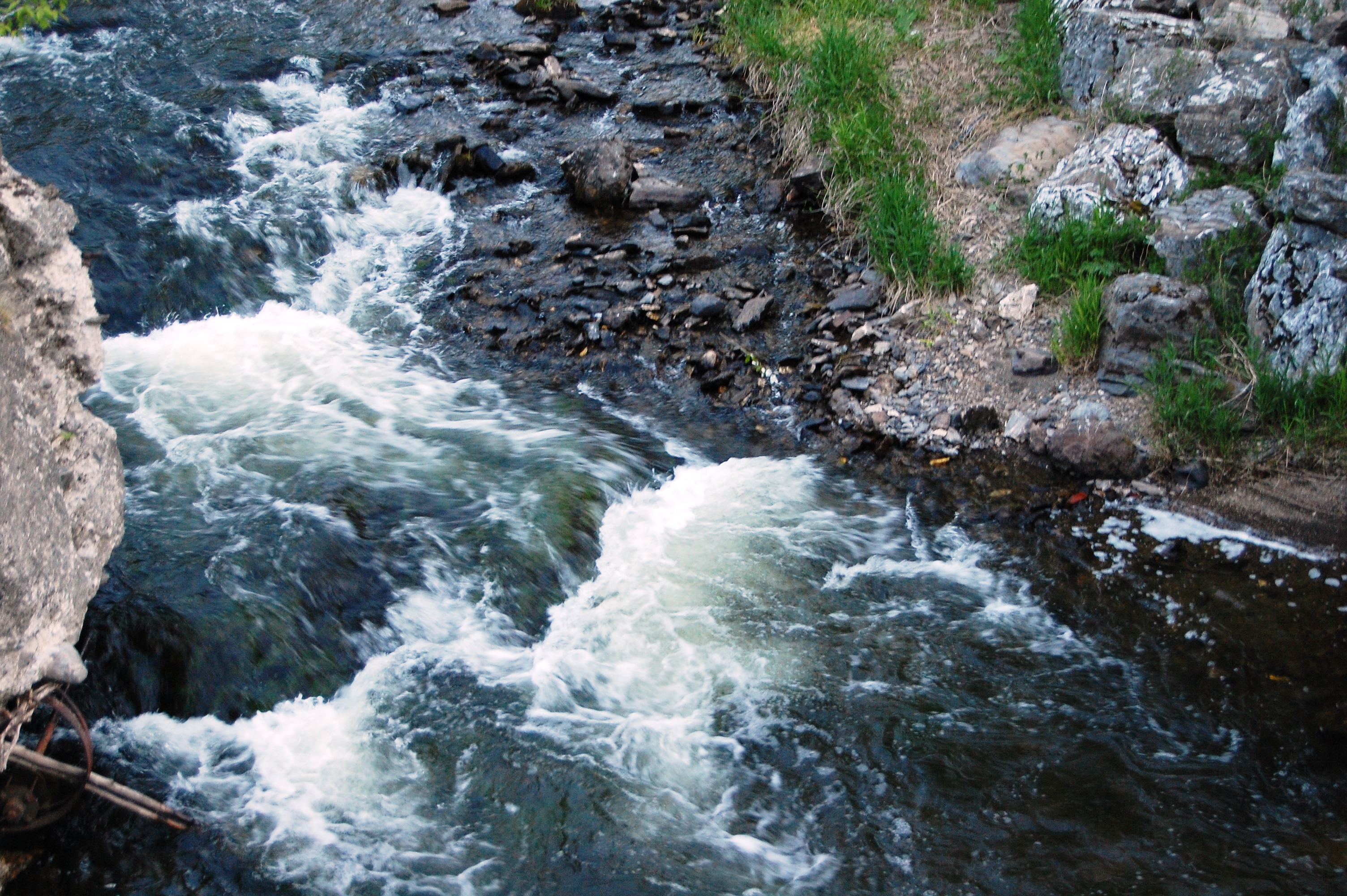
Aroostook River
Last Embers of Fall
shelfcloud-7-31-04b

sunset-8-24-04d
The Greatest Love Affair
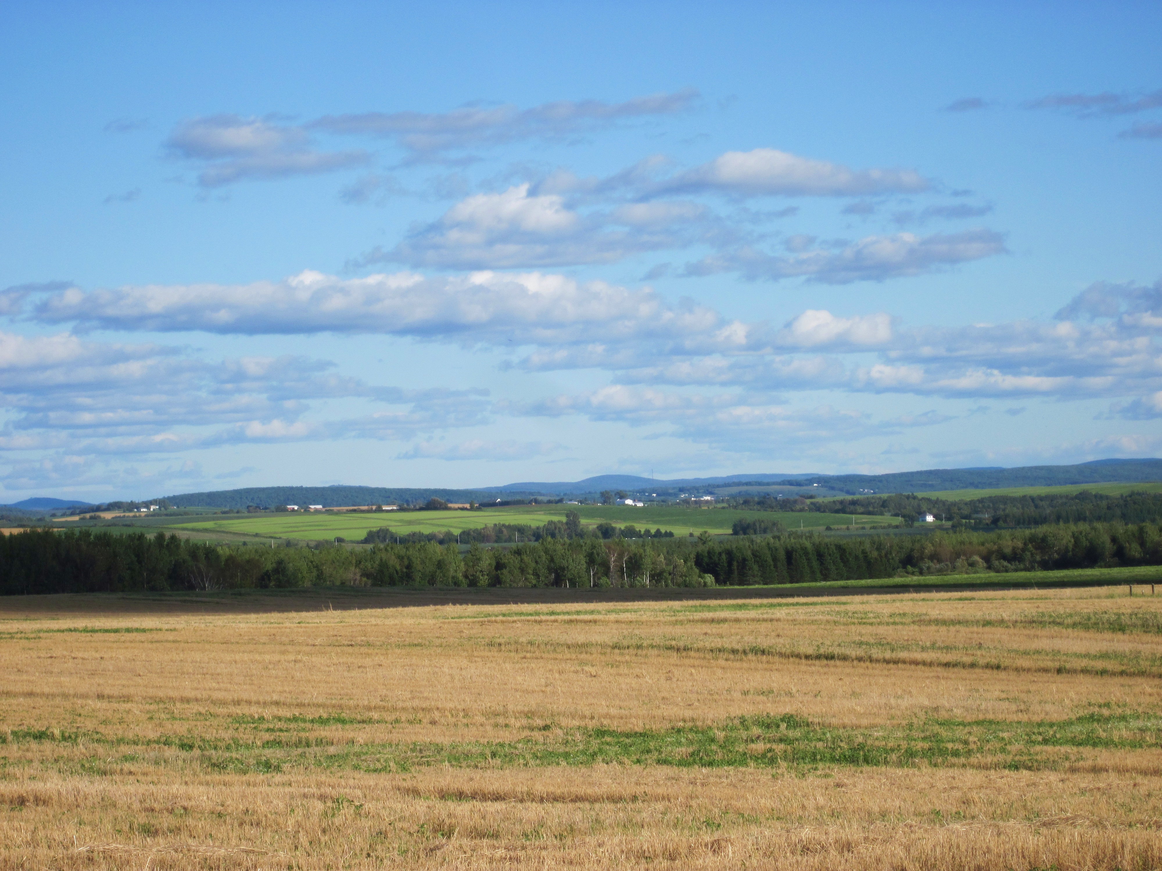
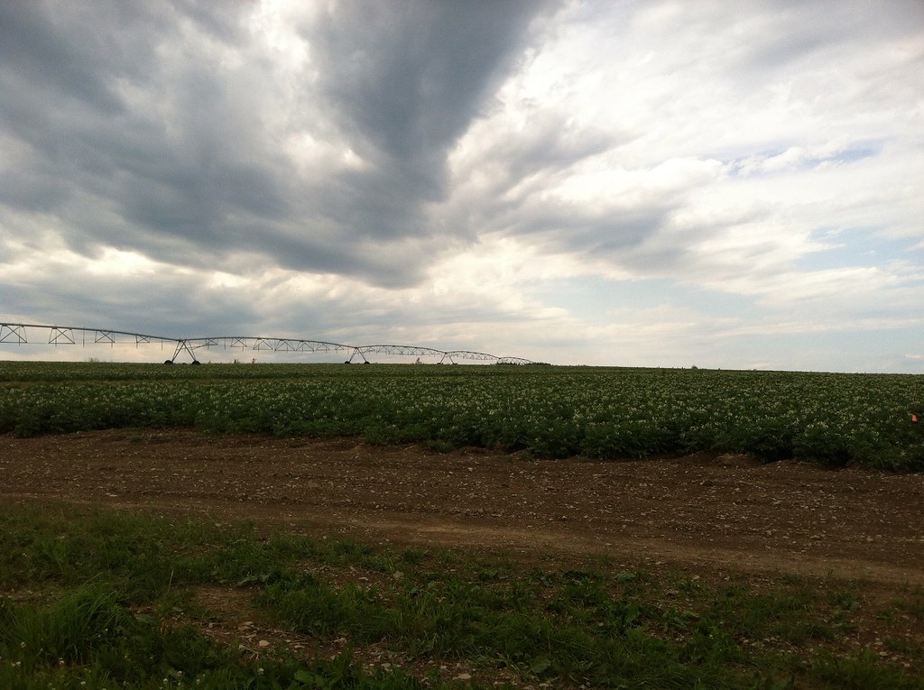
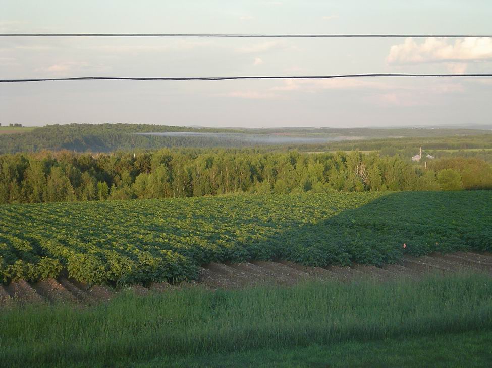
Aroostook County: Rolling Fields
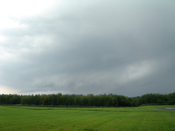
shelfcloud-7-31-04a
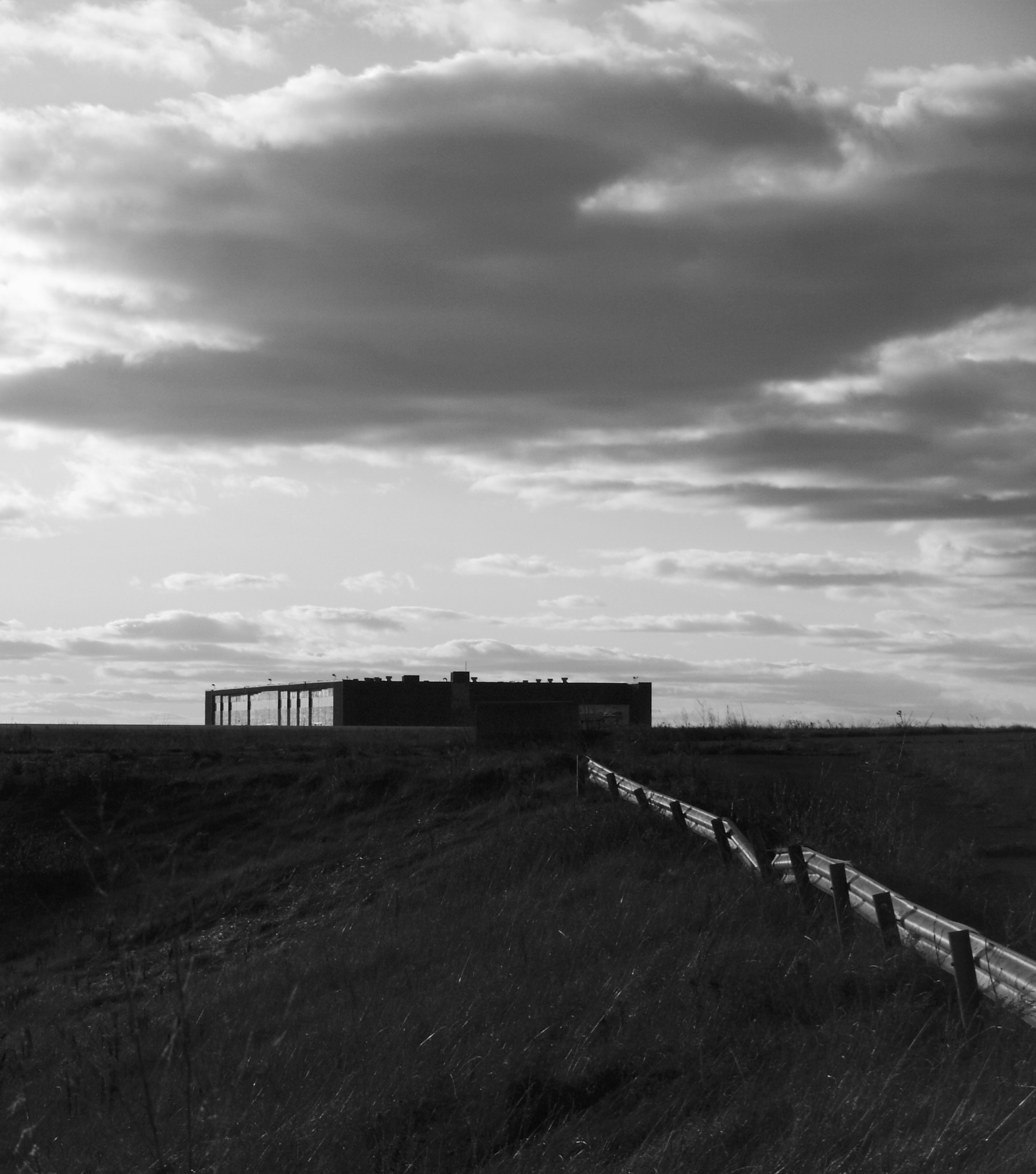
Building 943
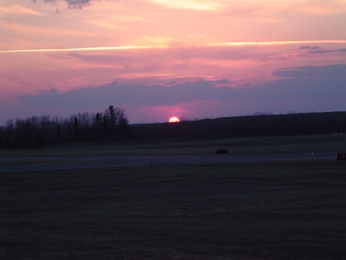
sunset-runway
sunset-4-30-2004
fog forming
DC Hanger

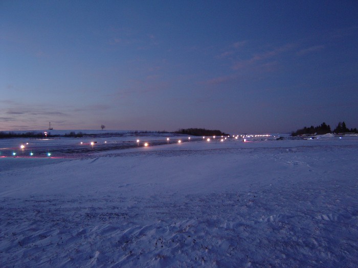
snow-12-15-03l

Fields of Gold
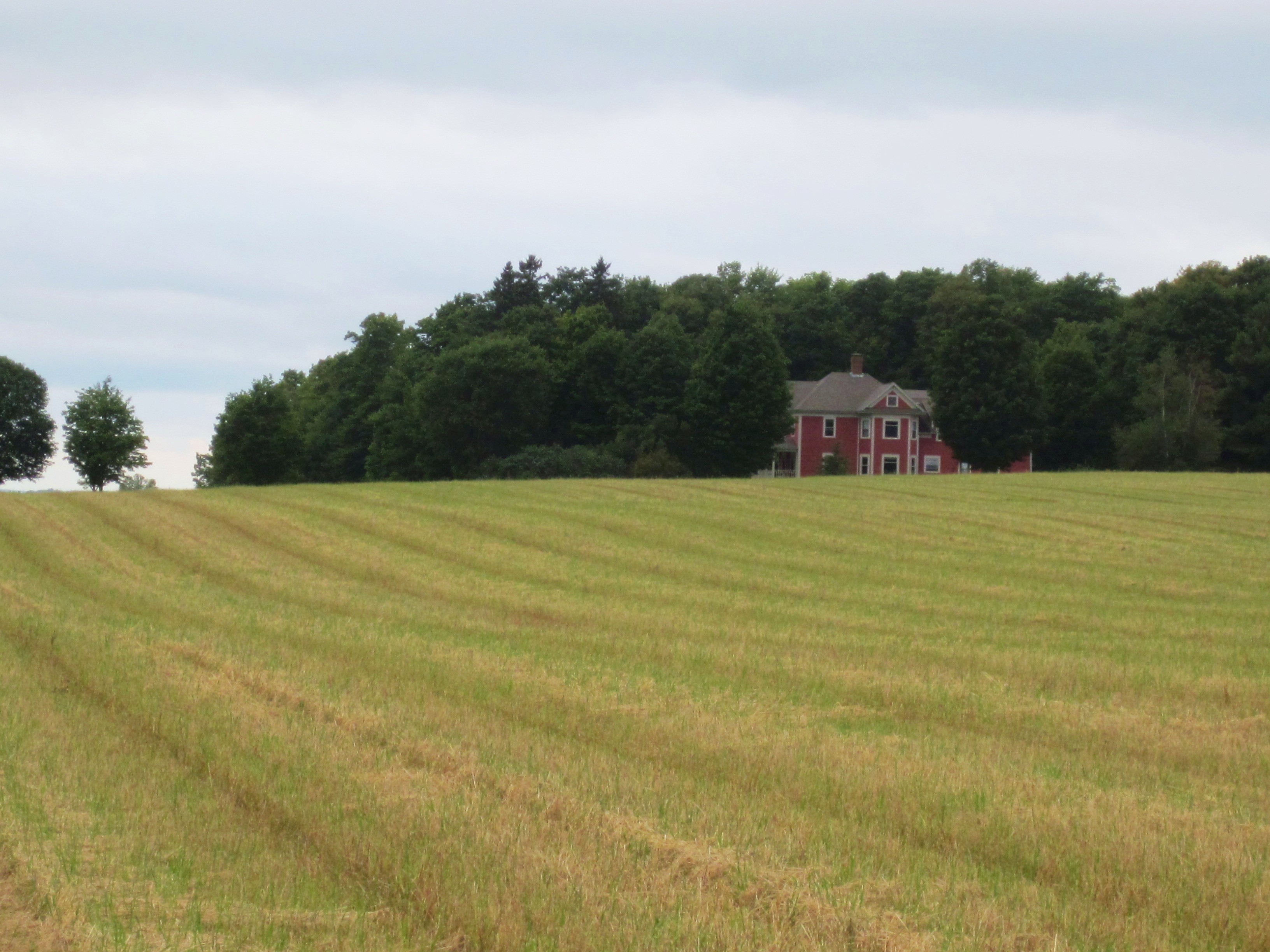
Aroostook County: Red House
Topographic Map of 15 Sweden St, Caribou, ME, USA
Find elevation by address:

Places near 15 Sweden St, Caribou, ME, USA:
Caribou
163 Van Buren Rd
33 Main Siding Rd, Caribou, ME, USA
895 Carson Rd
Mcintyre Road
S Caribou Rd, Fort Fairfield, ME, USA
Reach Road
Woodland Center Rd, Woodland, ME, USA
S Caribou Rd, Fort Fairfield, ME, USA
Washburn Rd, Washburn, ME, USA
New Sweden
Strickland Rd, Fort Fairfield, ME, USA
Haney Road
69 Caribou Rd
13 Jepson Rd, New Sweden, ME, USA
89 State St, Presque Isle, ME, USA
State Road Advent Christian Church
Presque Isle, ME, USA
Washburn
450 Fort Fairfield Rd
Recent Searches:
- Elevation of Corso Fratelli Cairoli, 35, Macerata MC, Italy
- Elevation of Tallevast Rd, Sarasota, FL, USA
- Elevation of 4th St E, Sonoma, CA, USA
- Elevation of Black Hollow Rd, Pennsdale, PA, USA
- Elevation of Oakland Ave, Williamsport, PA, USA
- Elevation of Pedrógão Grande, Portugal
- Elevation of Klee Dr, Martinsburg, WV, USA
- Elevation of Via Roma, Pieranica CR, Italy
- Elevation of Tavkvetili Mountain, Georgia
- Elevation of Hartfords Bluff Cir, Mt Pleasant, SC, USA