Elevation of Presque Isle, ME, USA
Location: United States > Maine > Aroostook County > Presque Isle >
Longitude: -67.9899747
Latitude: 46.7026897
Elevation: 157m / 515feet
Barometric Pressure: 0KPa
Related Photos:

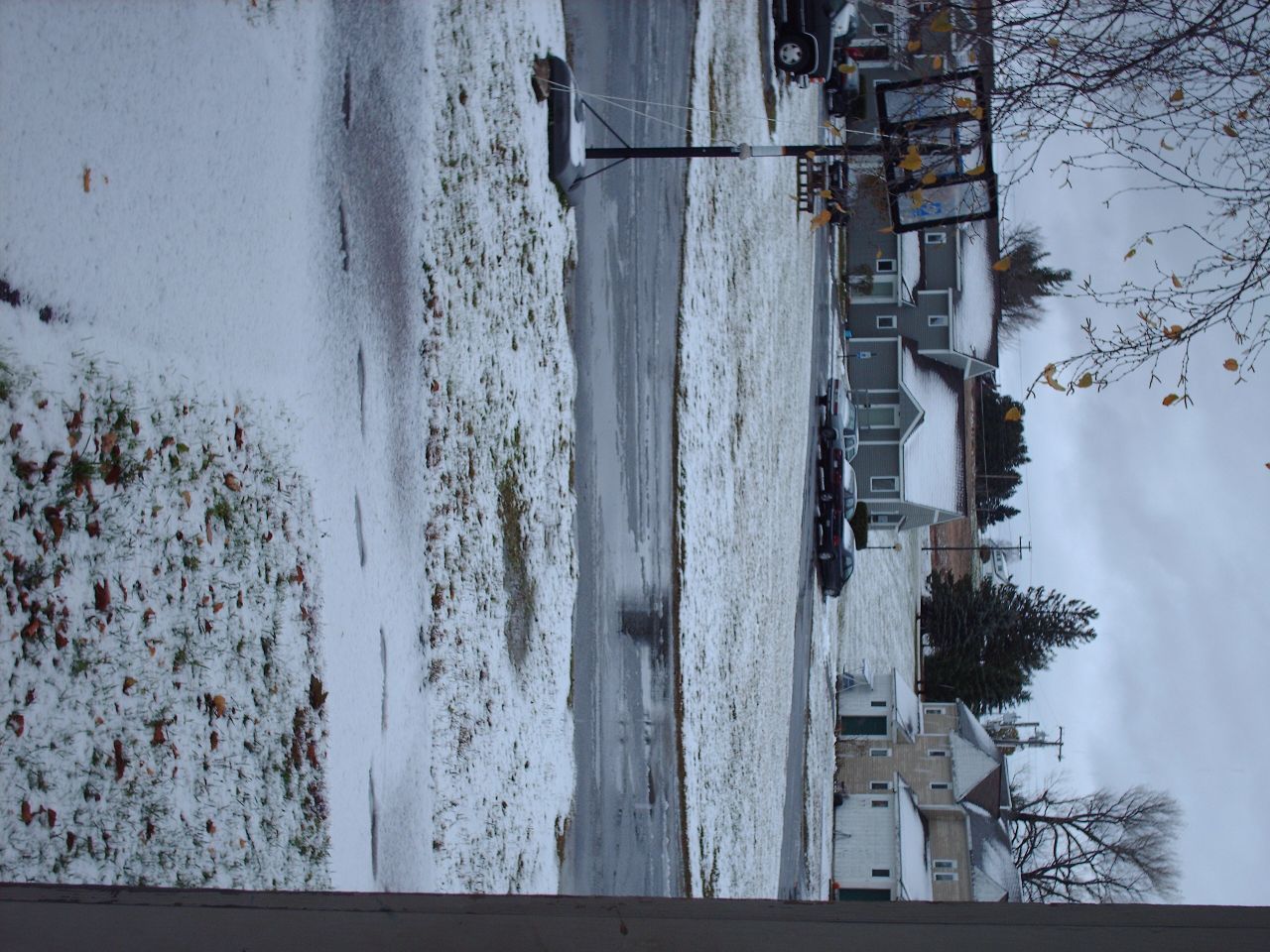
Picture 37
Second Snowfall
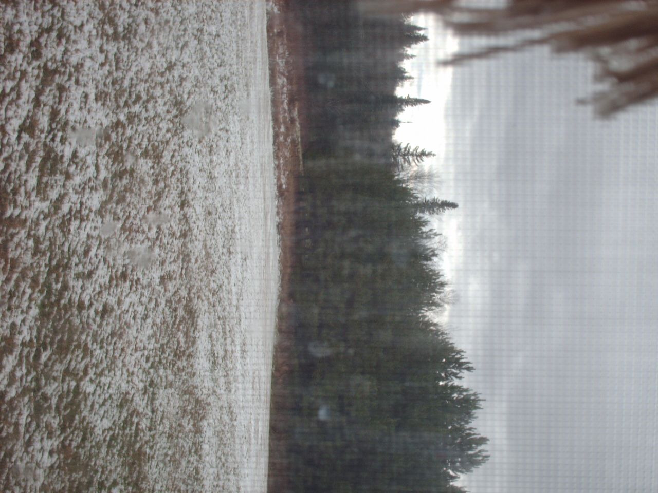
Snow in the backyard
July 21, 2013
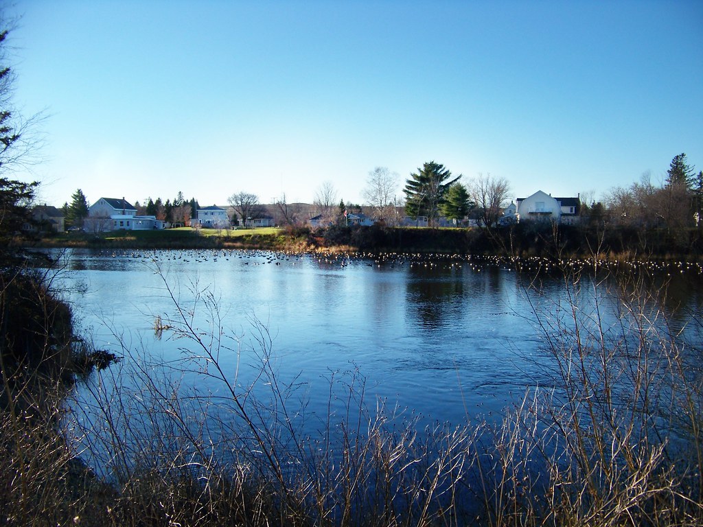
Mantle Lake Park, Presque Isle Maine
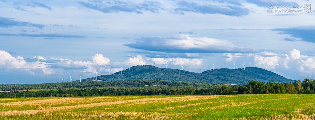
Mars Hill Wind

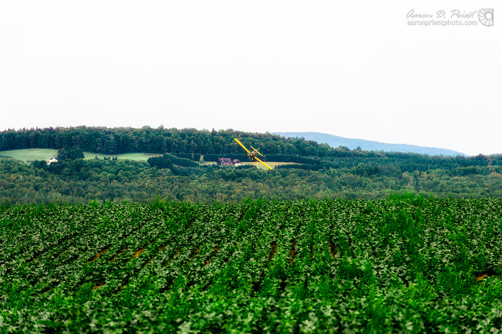
2012-08-26-98781
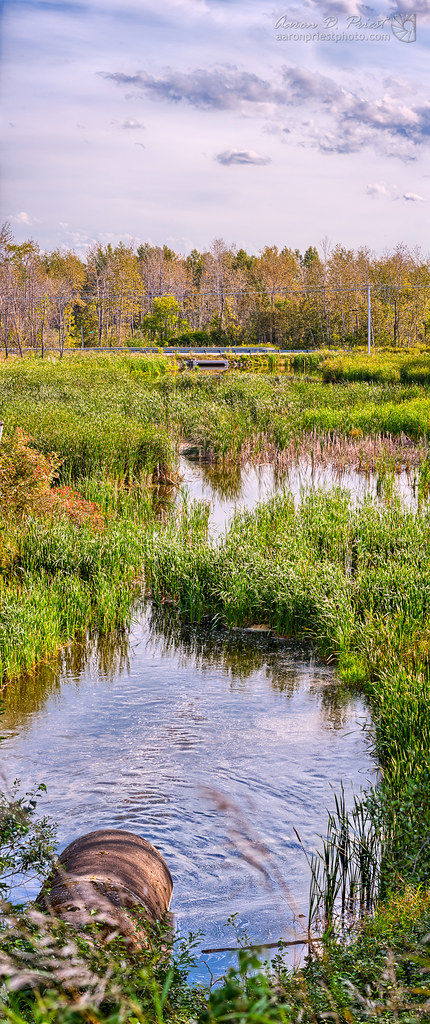
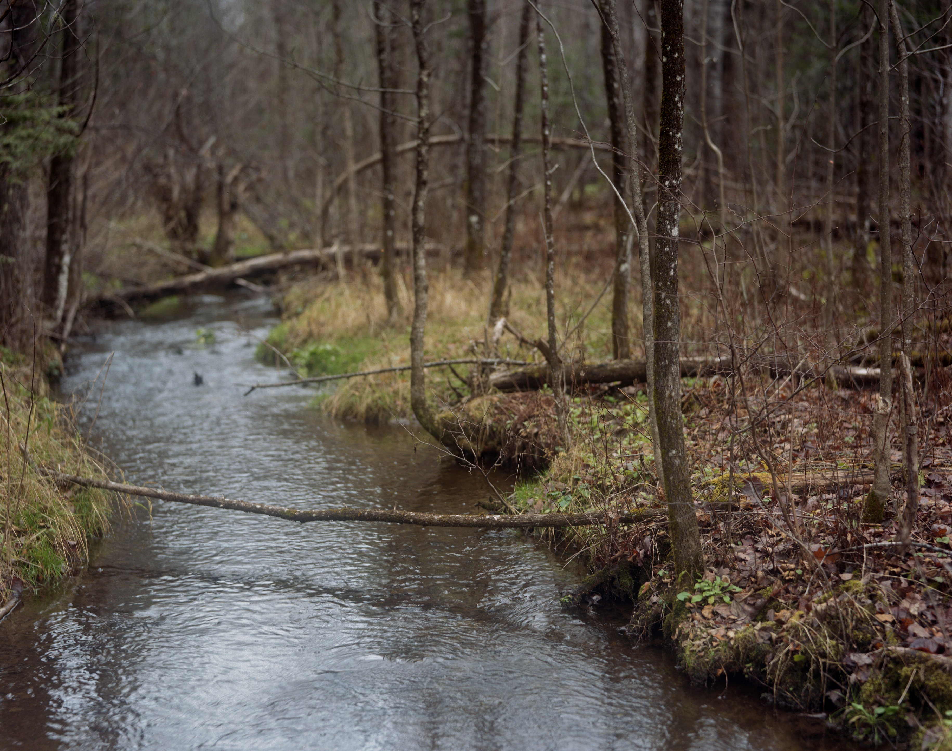
Christiana Reservoir Outlet
Autographic color test.
July 18, 2013
Last Embers of Fall

Sunrise 1
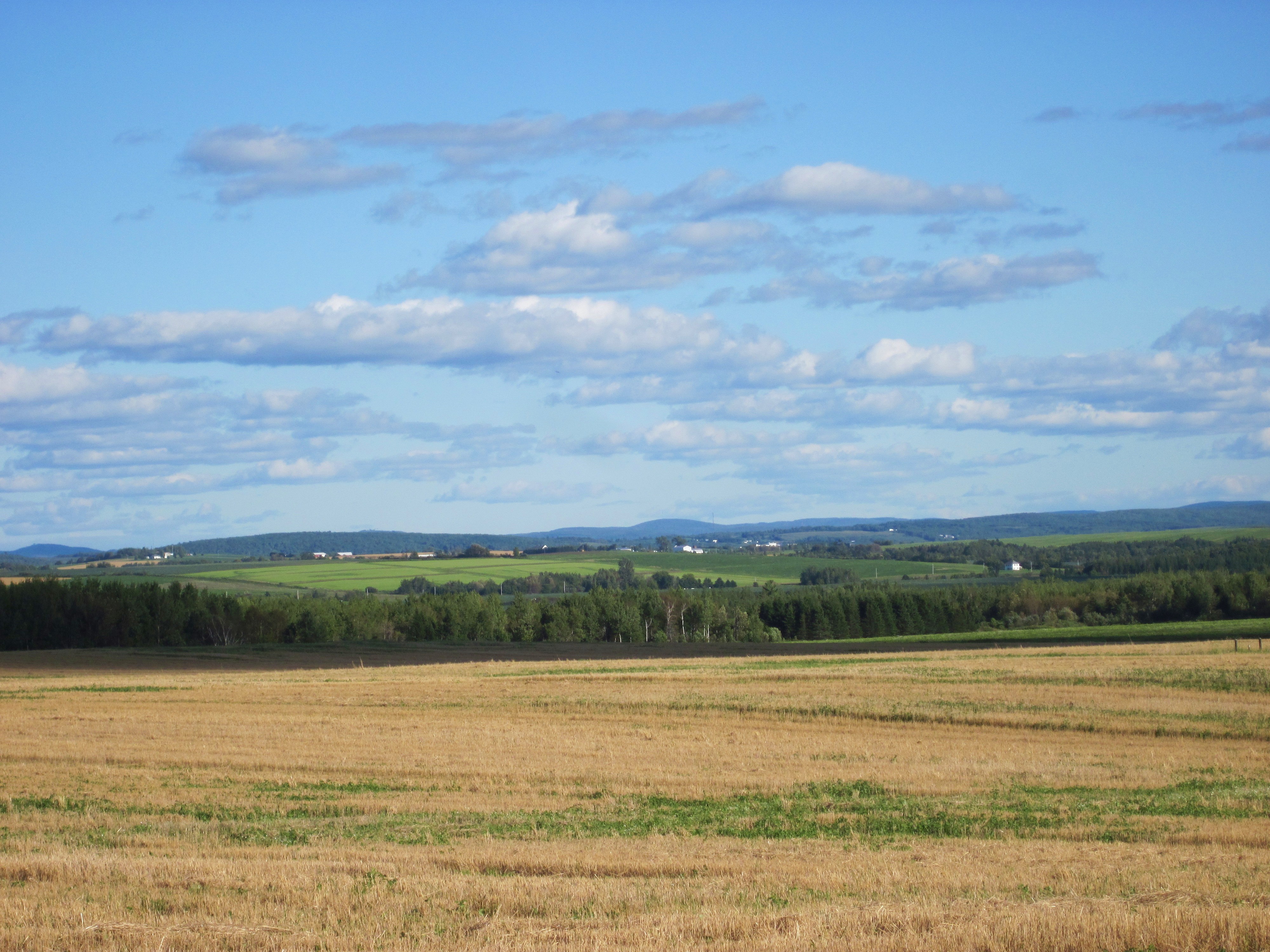
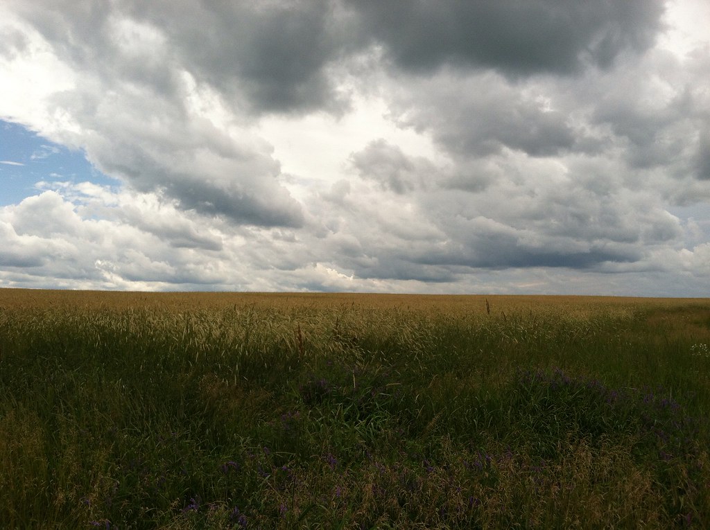
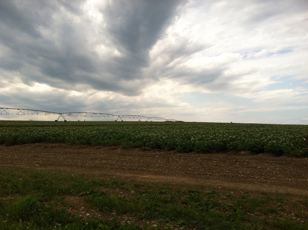
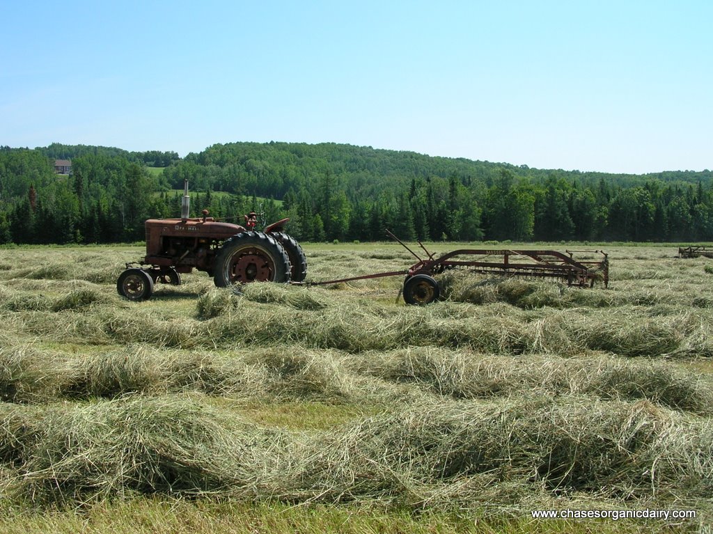
Aroostook County: Rolling Fields
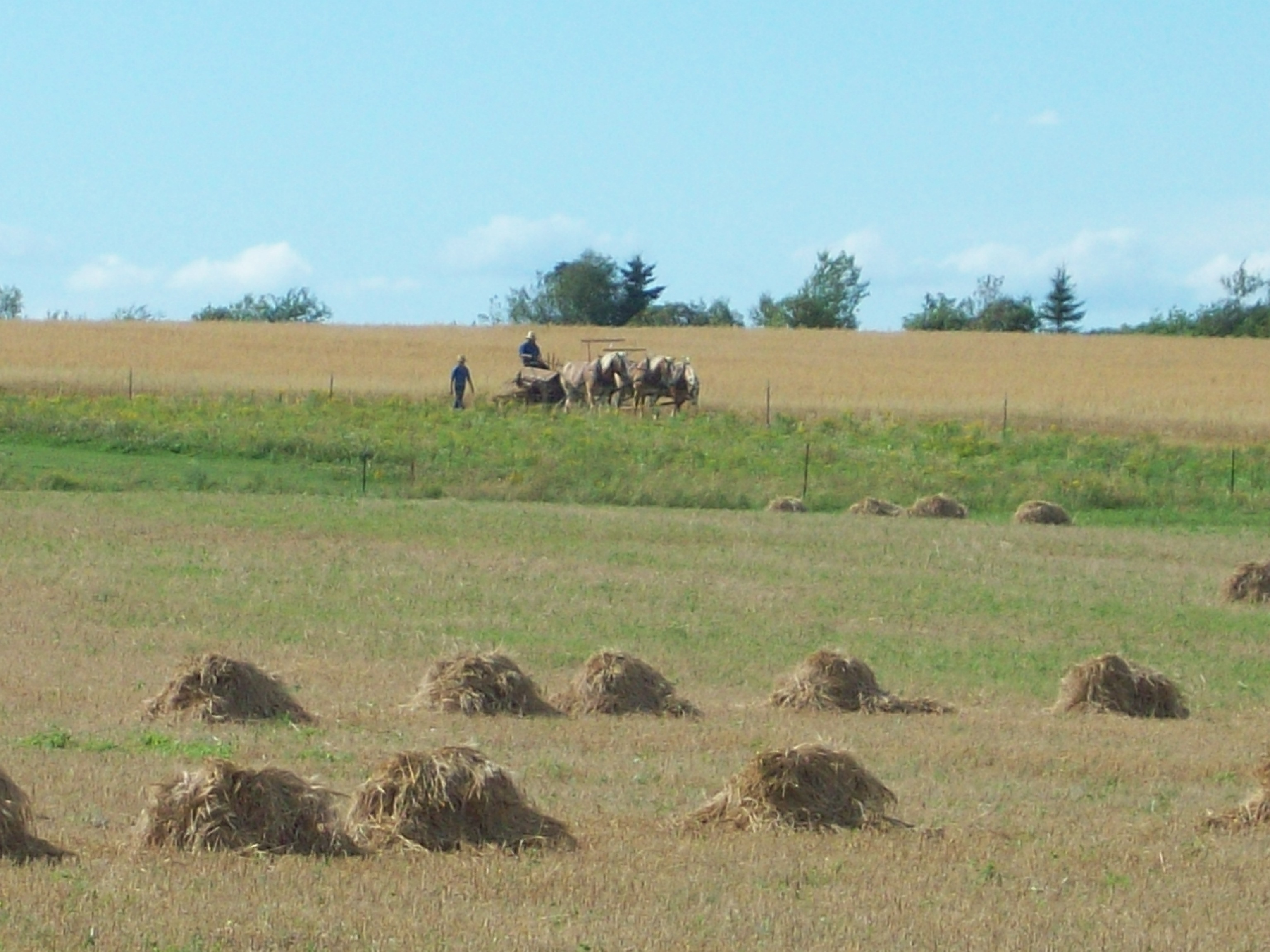
Amish strawmen: Easton Center, ME

One sunset for the road
2012-08-26-98927
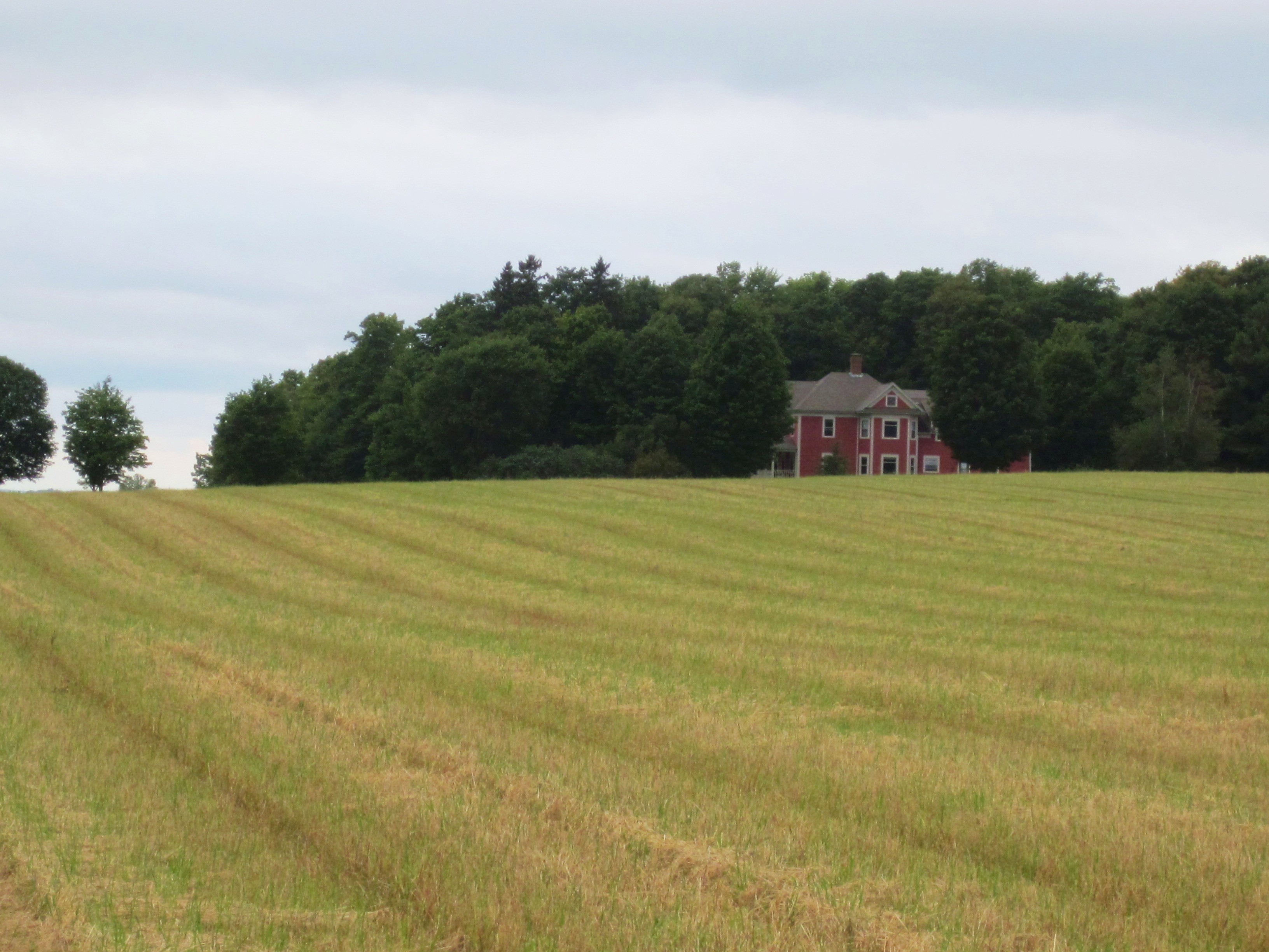
Aroostook County: Red House
DSCN7089.JPG

2012-08-26-99163
Topographic Map of Presque Isle, ME, USA
Find elevation by address:

Places near Presque Isle, ME, USA:
69 Caribou Rd
24 Barton St
The Aroostook Medical Center
Presque Isle
89 State St, Presque Isle, ME, USA
Reach Road
1030 Skyway St
450 Fort Fairfield Rd
217 Houlton Rd
Spragueville Rd, Presque Isle, ME, USA
1513 Chapman Rd
Quaggy Joe
Easton
228 Egypt Rd
Washburn Rd, Washburn, ME, USA
State Road Advent Christian Church
380 Carvell Rd
Houlton Rd, Easton, ME, USA
State Road
Mapleton
Recent Searches:
- Elevation map of Greenland, Greenland
- Elevation of Sullivan Hill, New York, New York, 10002, USA
- Elevation of Morehead Road, Withrow Downs, Charlotte, Mecklenburg County, North Carolina, 28262, USA
- Elevation of 2800, Morehead Road, Withrow Downs, Charlotte, Mecklenburg County, North Carolina, 28262, USA
- Elevation of Yangbi Yi Autonomous County, Yunnan, China
- Elevation of Pingpo, Yangbi Yi Autonomous County, Yunnan, China
- Elevation of Mount Malong, Pingpo, Yangbi Yi Autonomous County, Yunnan, China
- Elevation map of Yongping County, Yunnan, China
- Elevation of North 8th Street, Palatka, Putnam County, Florida, 32177, USA
- Elevation of 107, Big Apple Road, East Palatka, Putnam County, Florida, 32131, USA
- Elevation of Jiezi, Chongzhou City, Sichuan, China
- Elevation of Chongzhou City, Sichuan, China
- Elevation of Huaiyuan, Chongzhou City, Sichuan, China
- Elevation of Qingxia, Chengdu, Sichuan, China
- Elevation of Corso Fratelli Cairoli, 35, Macerata MC, Italy
- Elevation of Tallevast Rd, Sarasota, FL, USA
- Elevation of 4th St E, Sonoma, CA, USA
- Elevation of Black Hollow Rd, Pennsdale, PA, USA
- Elevation of Oakland Ave, Williamsport, PA, USA
- Elevation of Pedrógão Grande, Portugal