Elevation of Haney Road, Haney Rd, Caribou, ME, USA
Location: United States > Maine > Aroostook County > Caribou >
Longitude: -67.938883
Latitude: 46.9835087
Elevation: 198m / 650feet
Barometric Pressure: 99KPa
Elevation Map:
Satellite Map:
Related Photos:

Rain does make for some damn nice views when it passes. #loring2015
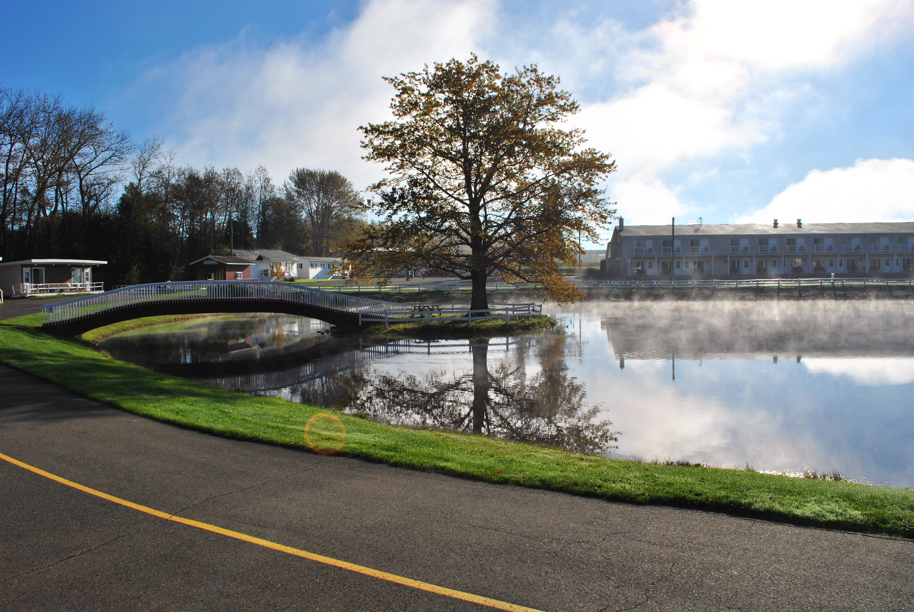
The View from our Cottage of Pres Du Lac 1/2

The View from our Cottage of Pres Du Lac 2/2
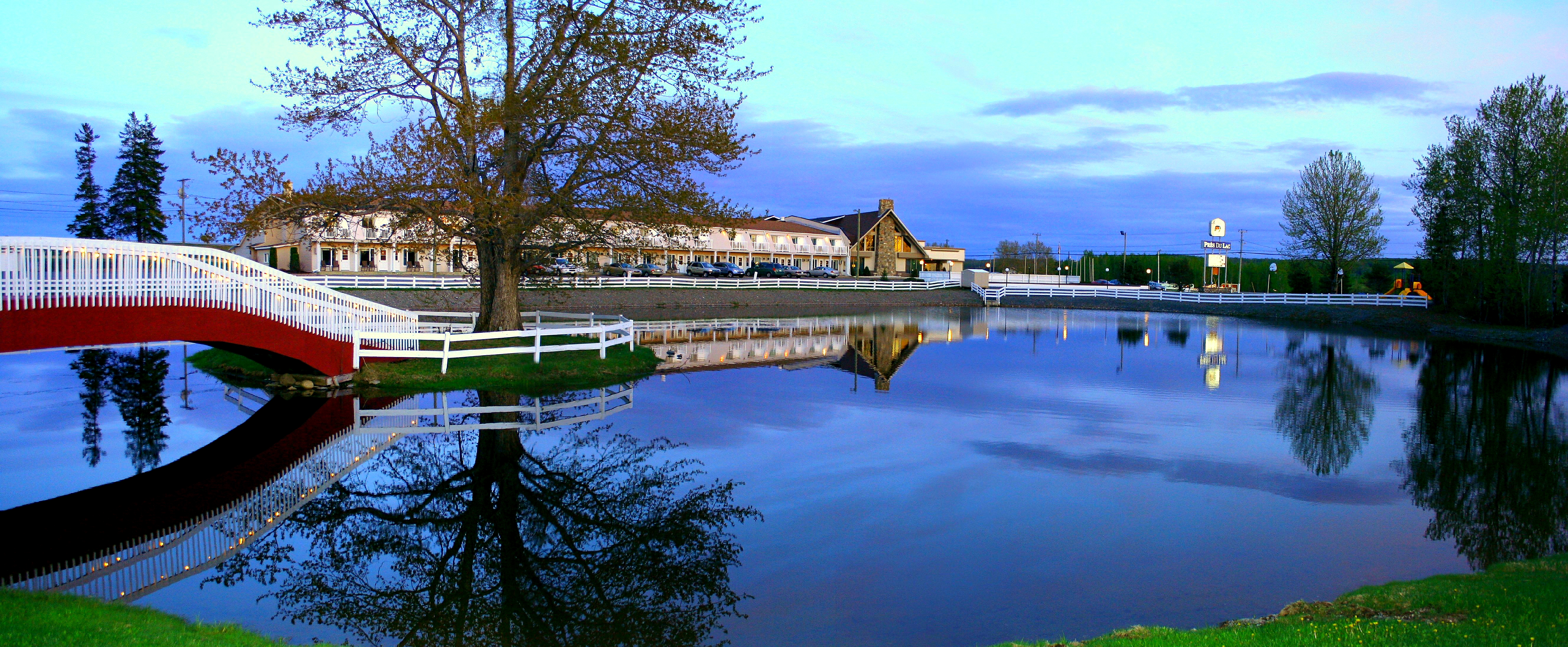
Pres du Lac
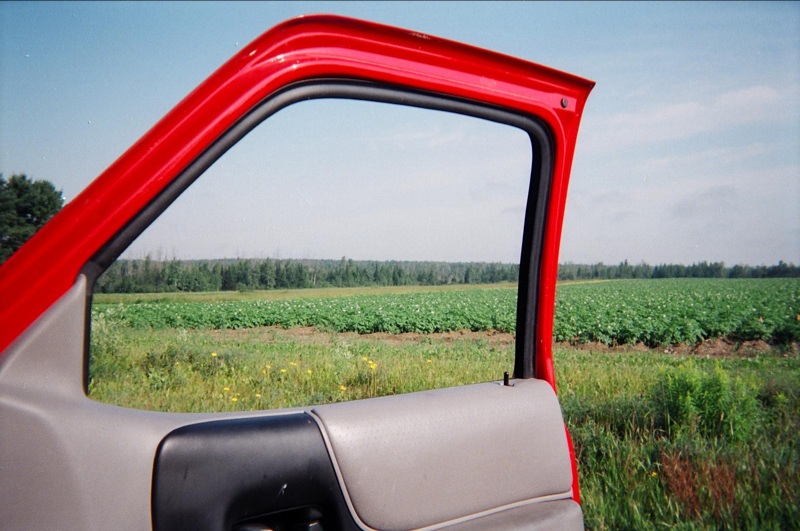
View, Maine, on the way to "It"

My View

Day 2. #CMC #loringafb #autox
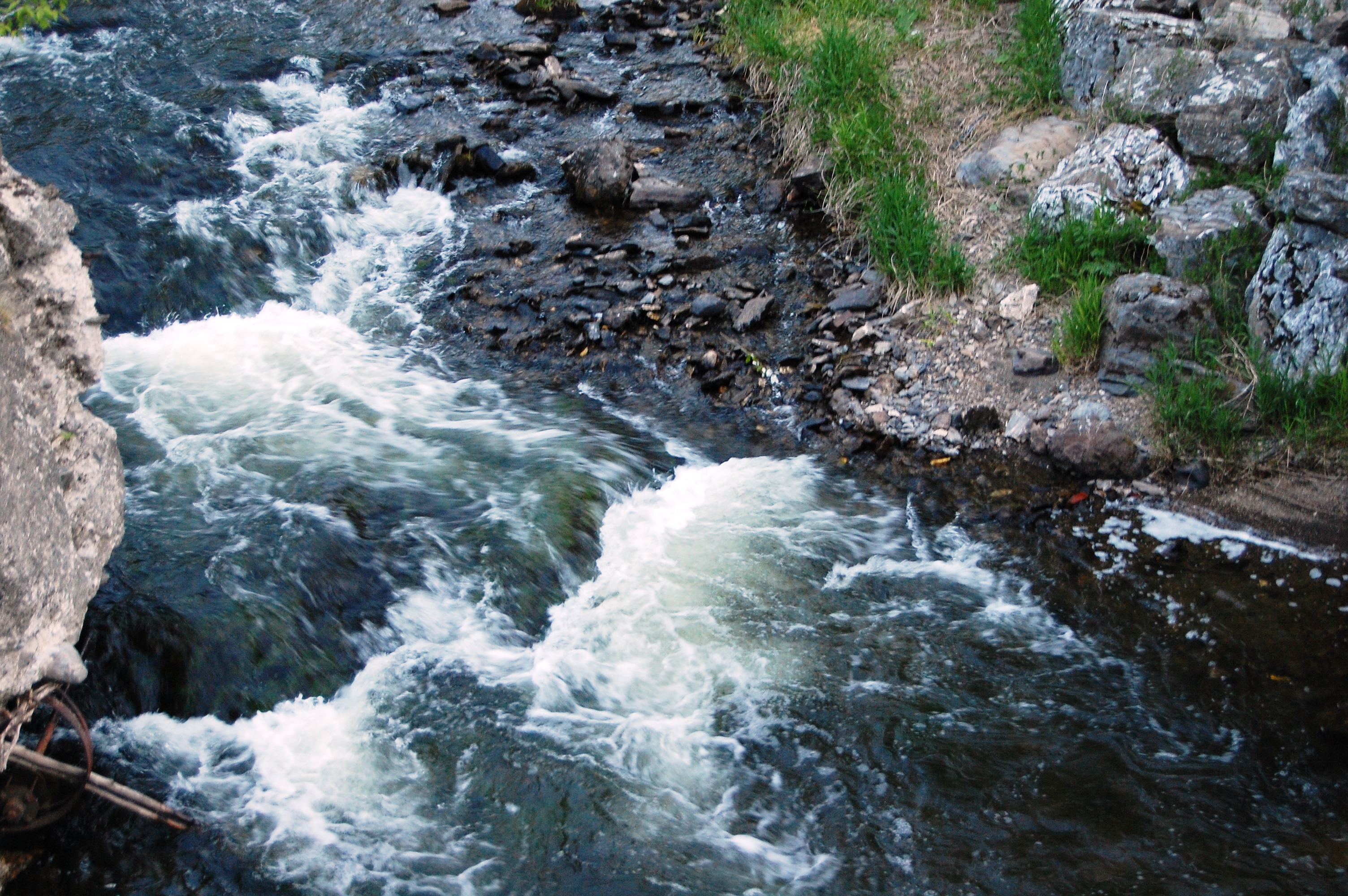
Aroostook River

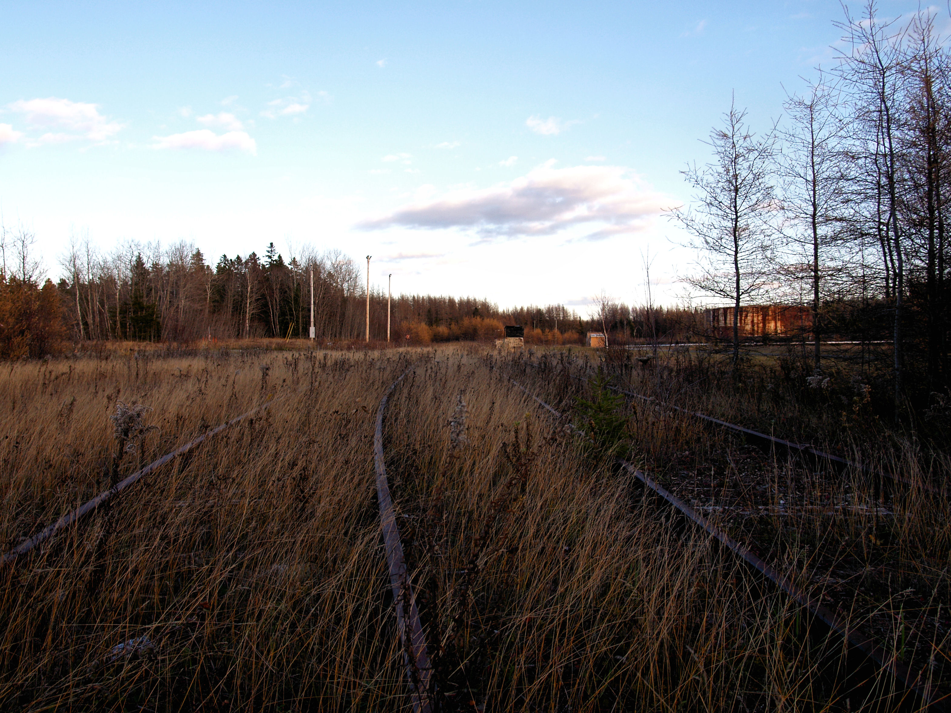
Loring AFB: Aroostook NWR Roadside Marsh
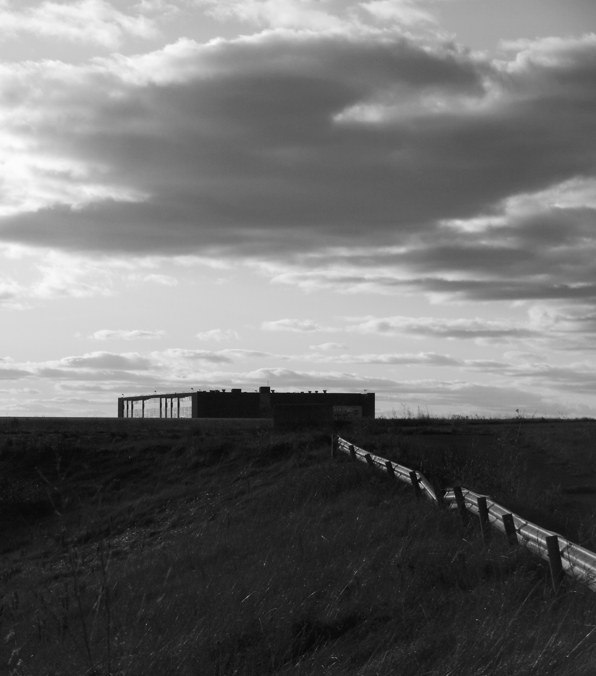
DC Hanger
POL Tanks
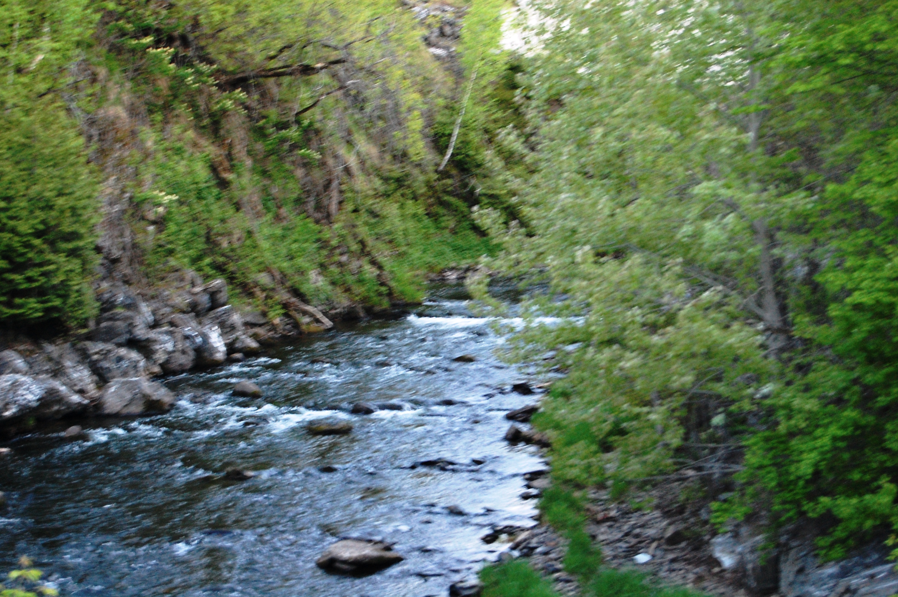
Aroostook River

@Jflynn250 #loring2015
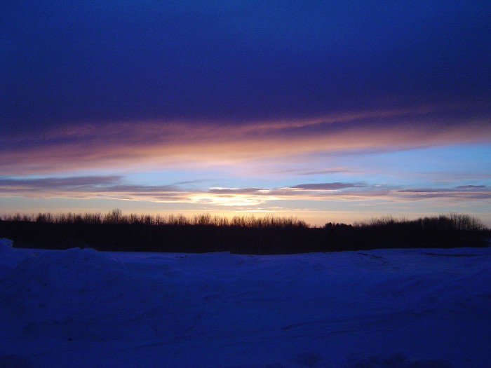
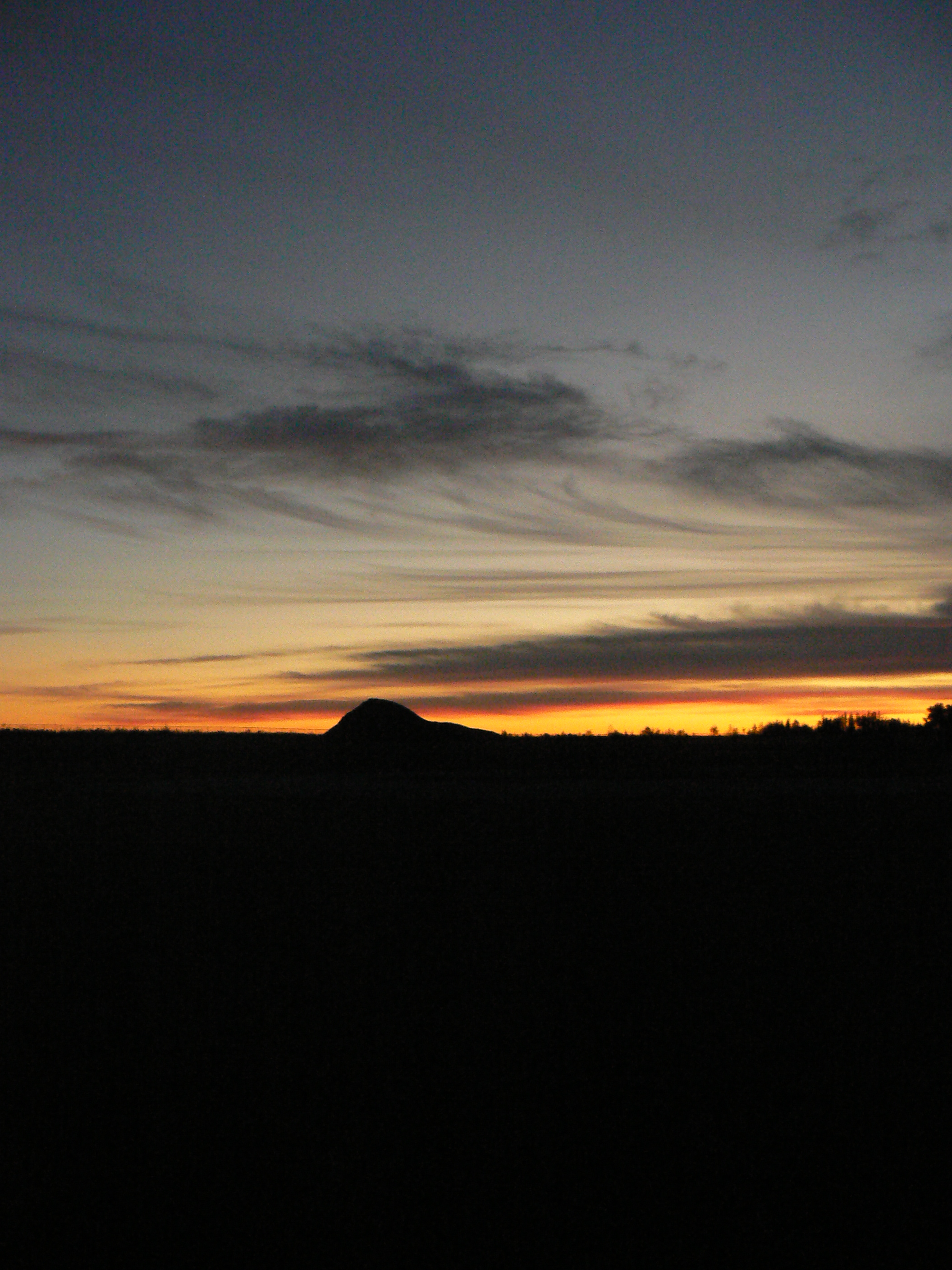
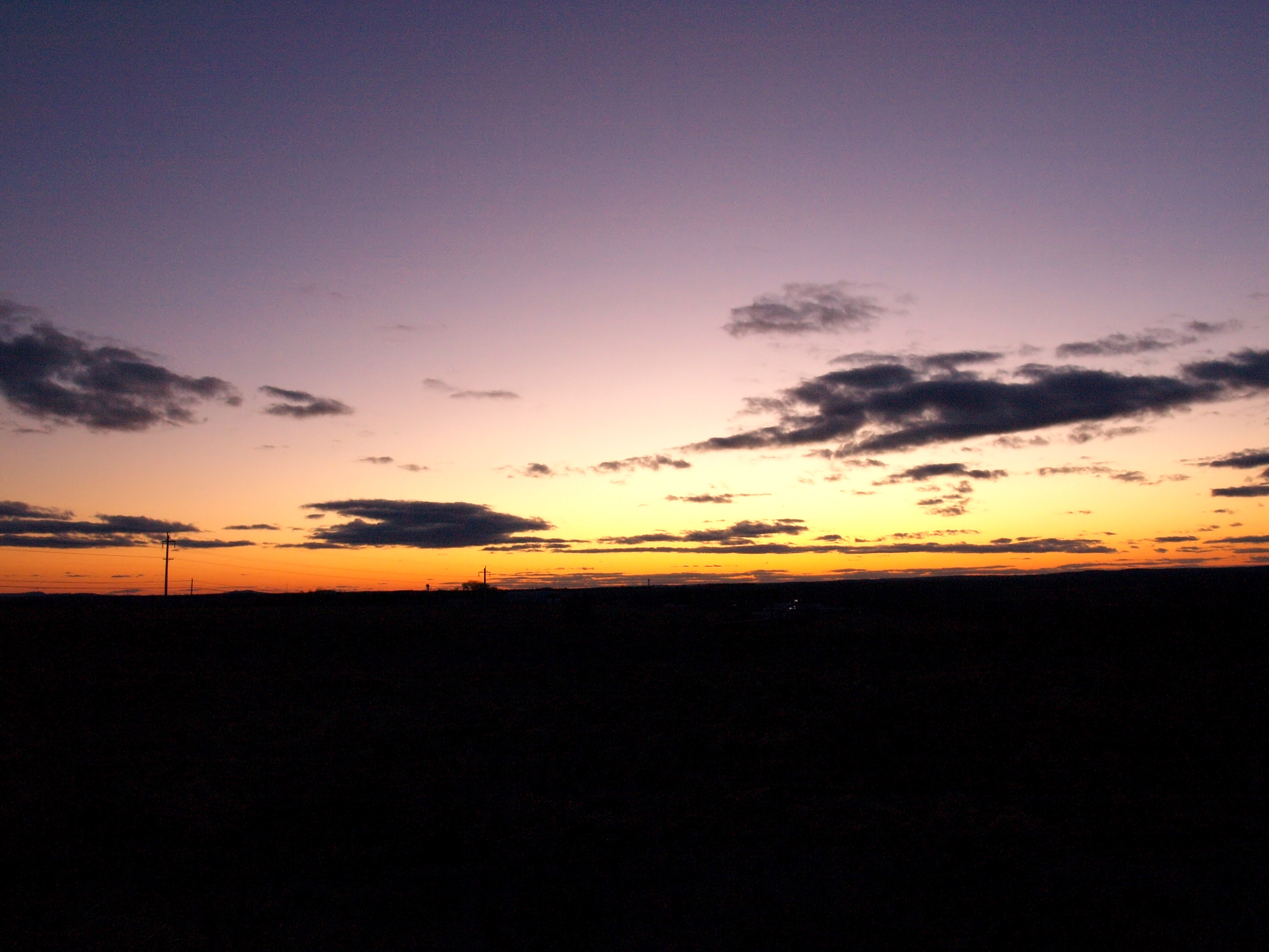
sunset-2-27-04b
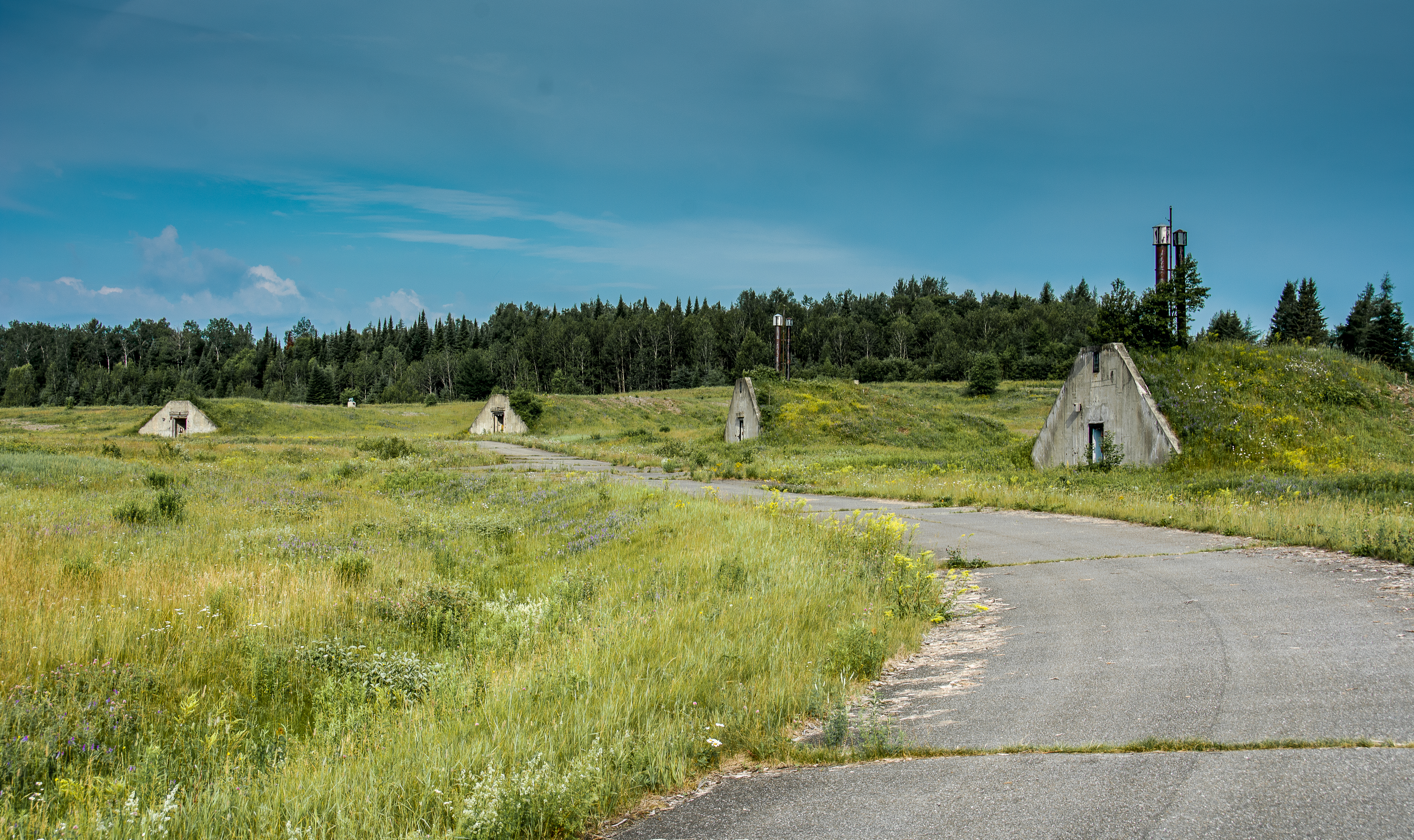
Nuclear War Head Bunkers
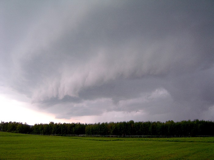
shelfcloud-7-31-04b
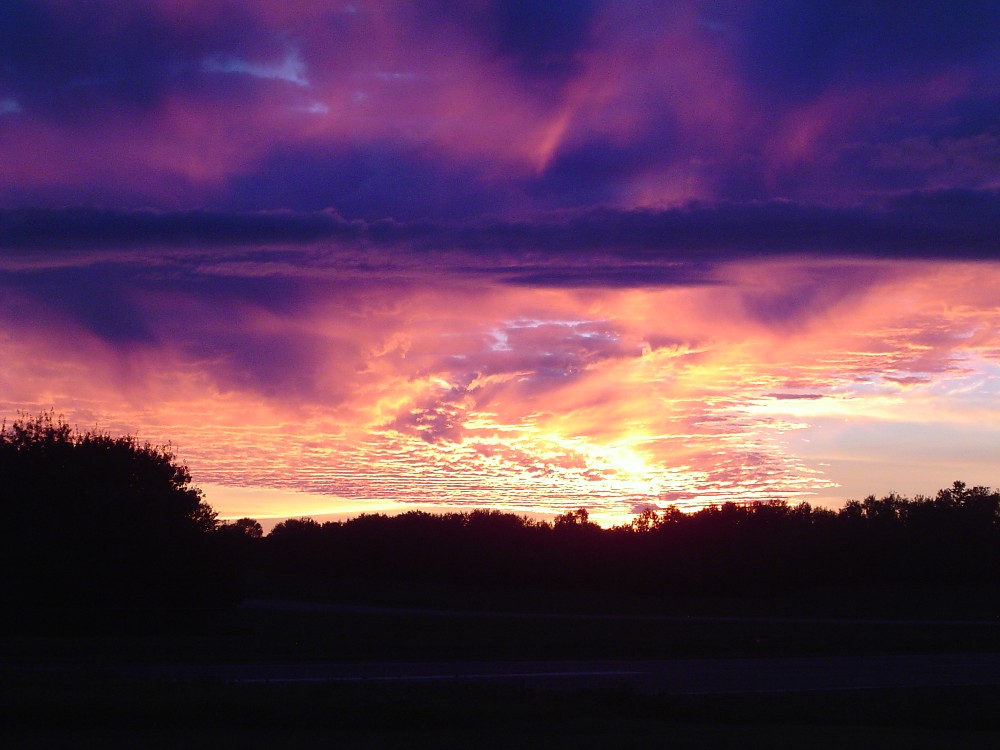
sunset-8-24-04d
The Greatest Love Affair
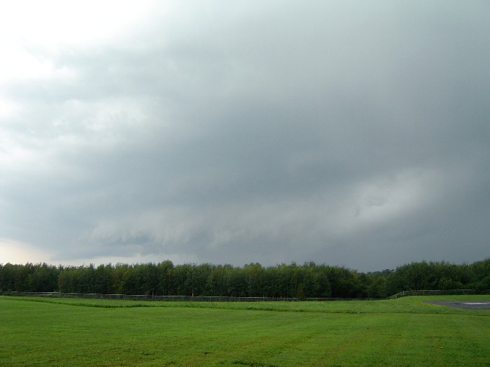
shelfcloud-7-31-04a
Building 943
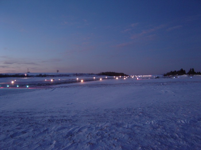
sunset-runway
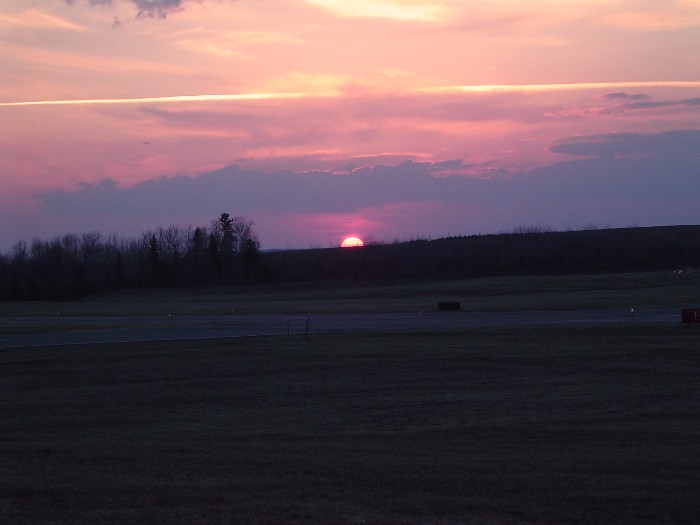
sunset-4-30-2004
fog forming

snow-12-15-03l

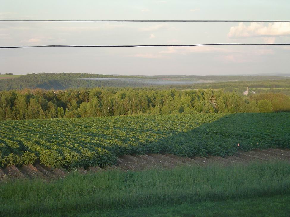
Fields of Gold
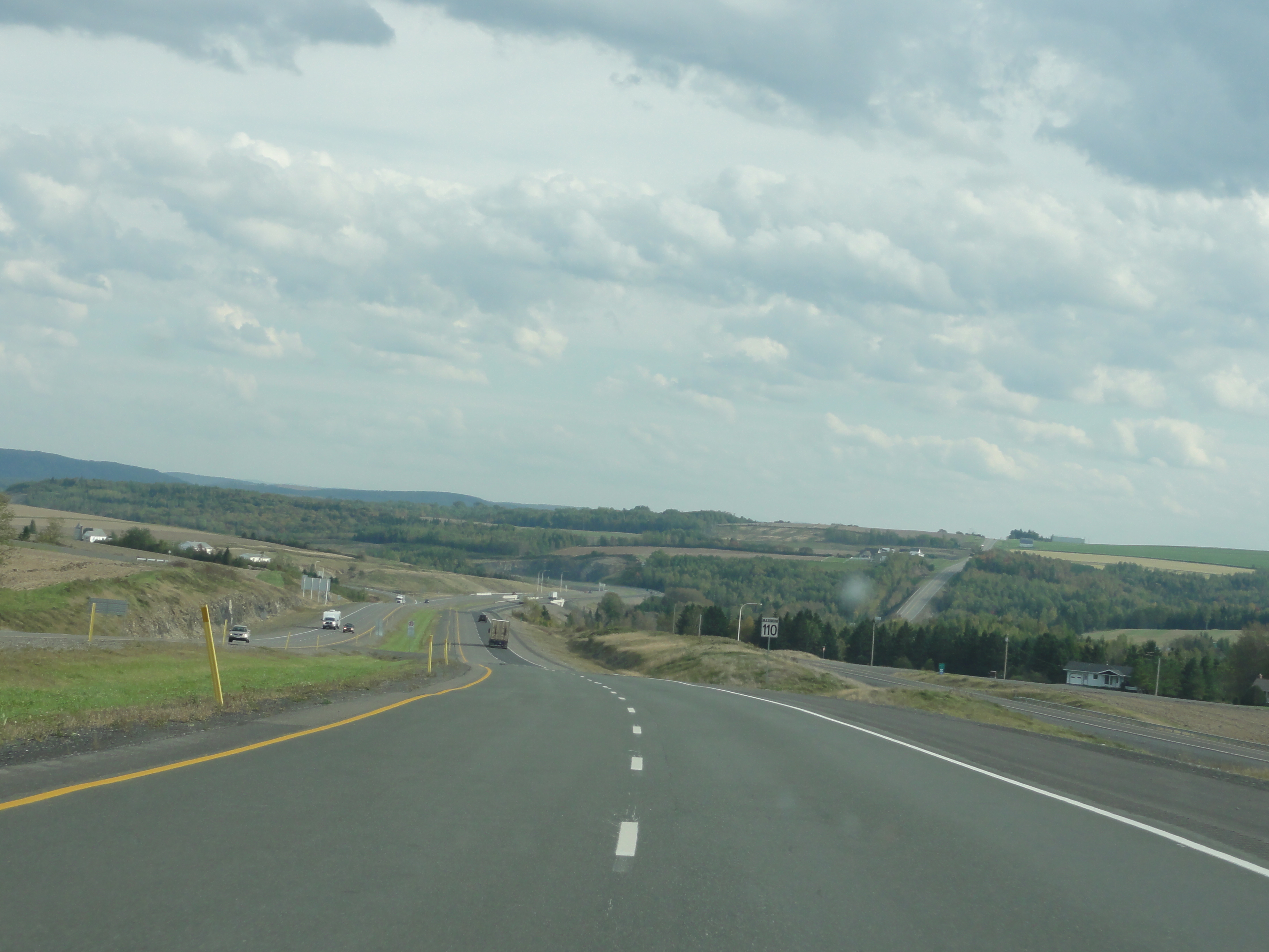
New Brunswick Country-side
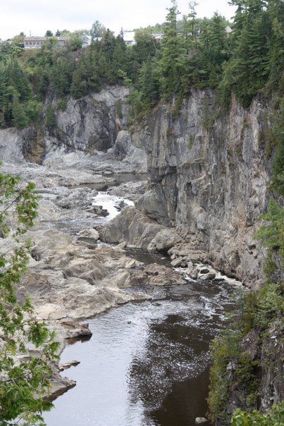
Grand Falls, NB
Topographic Map of Haney Road, Haney Rd, Caribou, ME, USA
Find elevation by address:

Places near Haney Road, Haney Rd, Caribou, ME, USA:
Caswell
163 Van Buren Rd
Caribou
Limestone
15 Sweden St, Caribou, ME, USA
18 Chemin Albert, Saint-Léonard-Parent, NB E7E 2V5, Canada
Strickland Rd, Fort Fairfield, ME, USA
NB-, Saint André, NB E3Y 1G7, Canada
33 Main Siding Rd, Caribou, ME, USA
Saint-léonard-parent
S Caribou Rd, Fort Fairfield, ME, USA
Williams Rd, Grand Falls, NB E3Z 1A9, Canada
88 Main St, Van Buren, ME, USA
S Caribou Rd, Fort Fairfield, ME, USA
Saint Leonard
New Sweden
New Brunswick 2
13 Jepson Rd, New Sweden, ME, USA
Fort Fairfield, ME, USA
Grand Falls
Recent Searches:
- Elevation of Corso Fratelli Cairoli, 35, Macerata MC, Italy
- Elevation of Tallevast Rd, Sarasota, FL, USA
- Elevation of 4th St E, Sonoma, CA, USA
- Elevation of Black Hollow Rd, Pennsdale, PA, USA
- Elevation of Oakland Ave, Williamsport, PA, USA
- Elevation of Pedrógão Grande, Portugal
- Elevation of Klee Dr, Martinsburg, WV, USA
- Elevation of Via Roma, Pieranica CR, Italy
- Elevation of Tavkvetili Mountain, Georgia
- Elevation of Hartfords Bluff Cir, Mt Pleasant, SC, USA