Elevation of US-6, Napoleon, OH, USA
Location: United States > Ohio > Henry County >
Longitude: -84.194403
Latitude: 41.418976
Elevation: 213m / 699feet
Barometric Pressure: 99KPa
Elevation Map:
Satellite Map:
Related Photos:
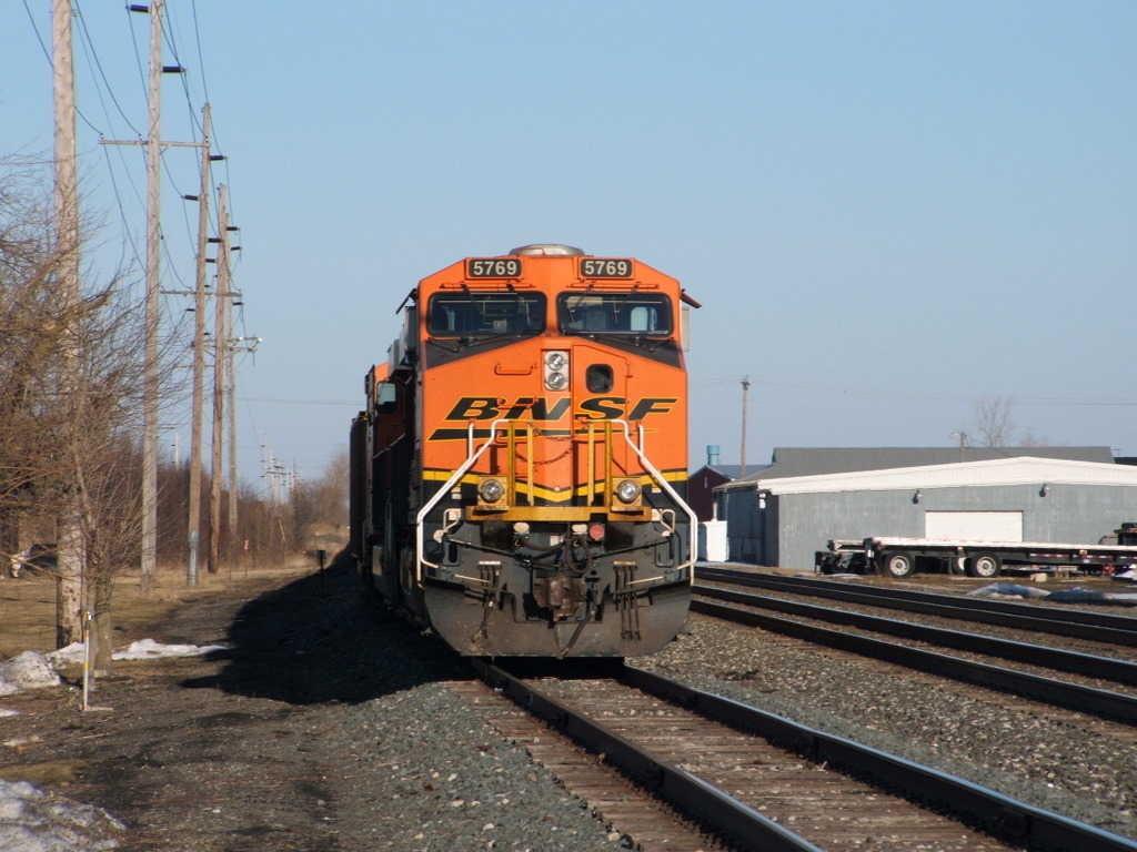
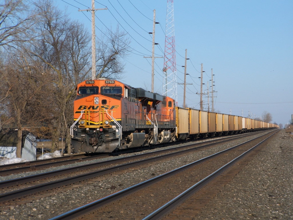
NS-Archbold-OH_BNSF5769_030610-1
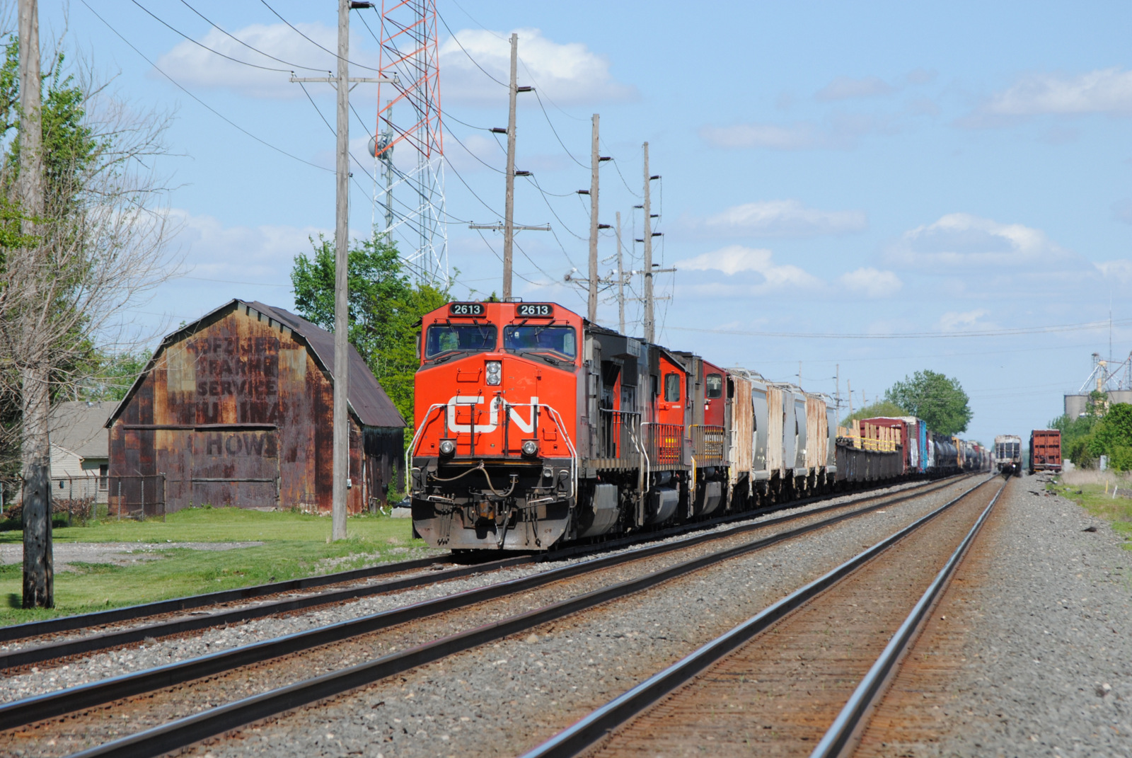
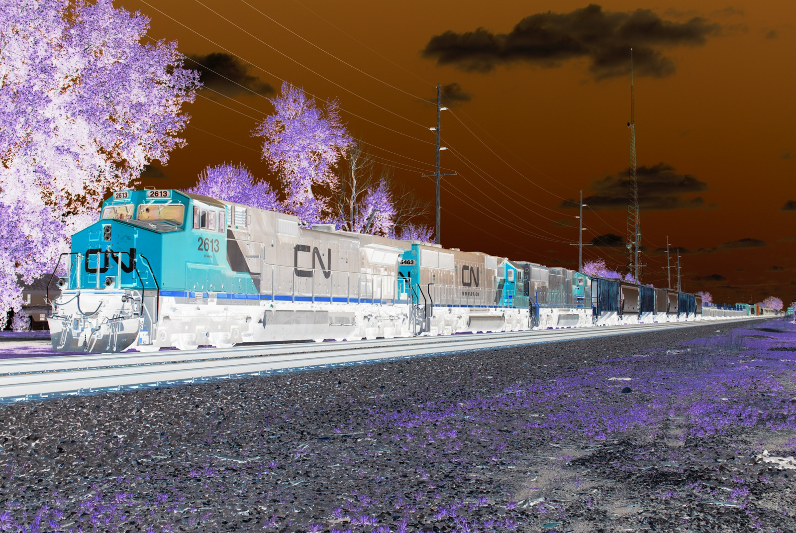
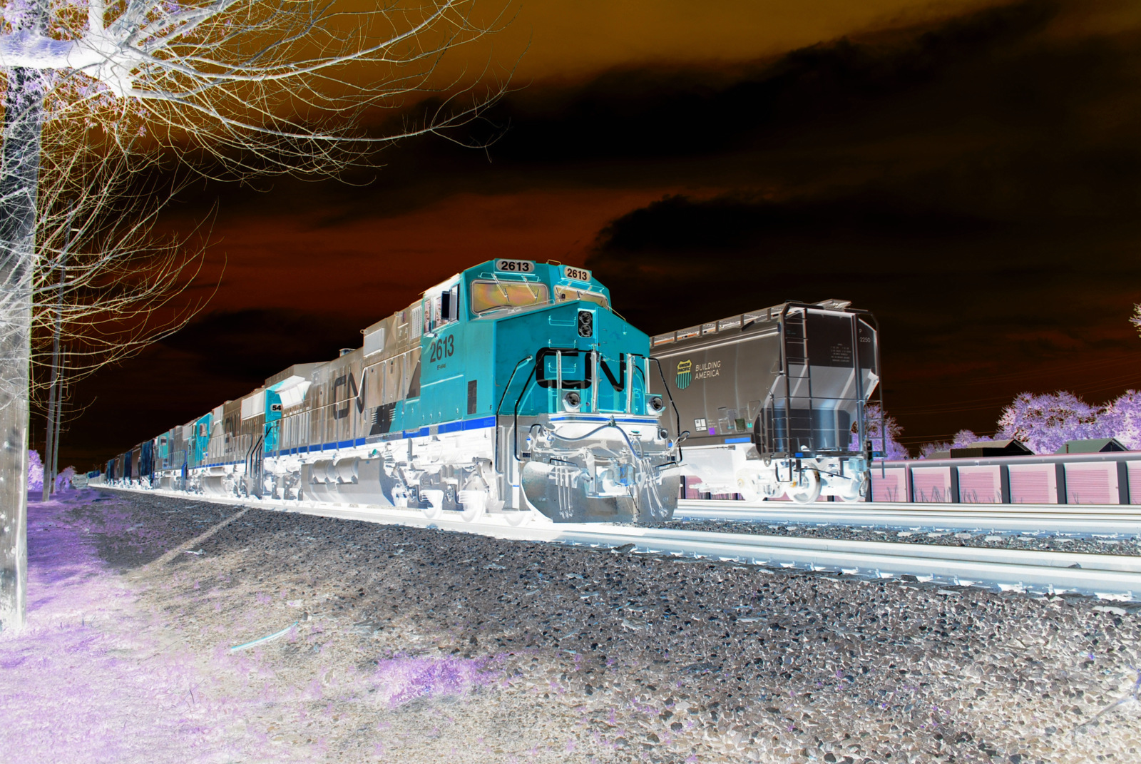
NS_Archbold-OH_13Q_CN.2613_052314-2
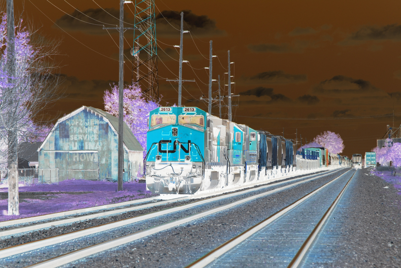
NS_Archbold-OH_13Q_CN.2613_052314-2Negative
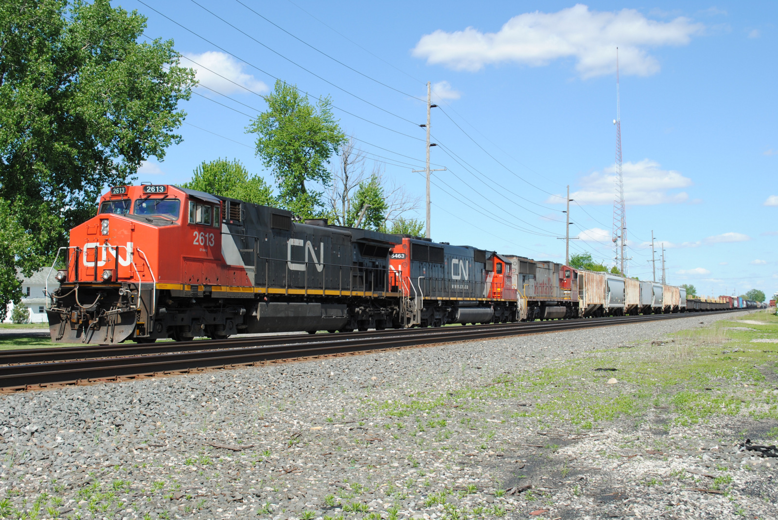
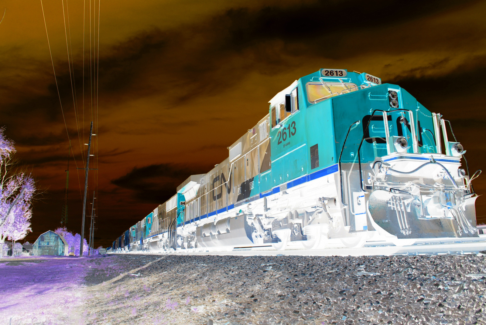
NS_Archbold-OH_13Q_CN.2613_052314-1
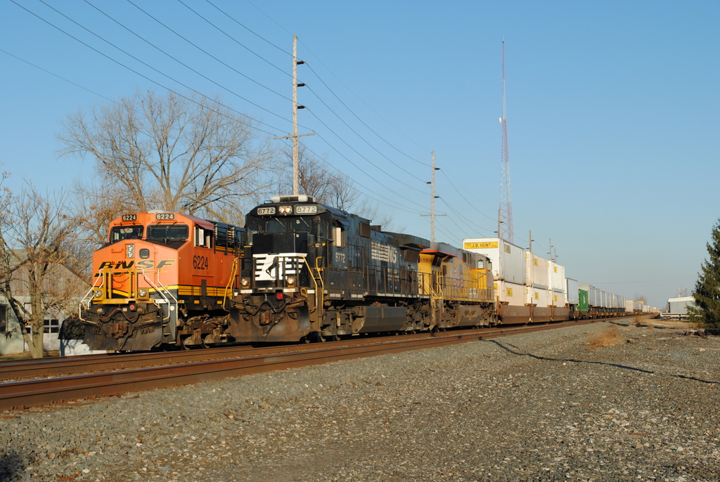
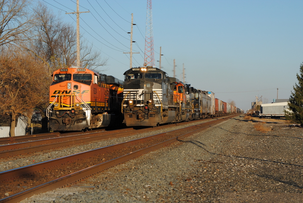
NS_Archbold-OH_205-BNSF6224_110610-3
NS_Archbold-OH_13Q_CN.2613_052314-1Negative
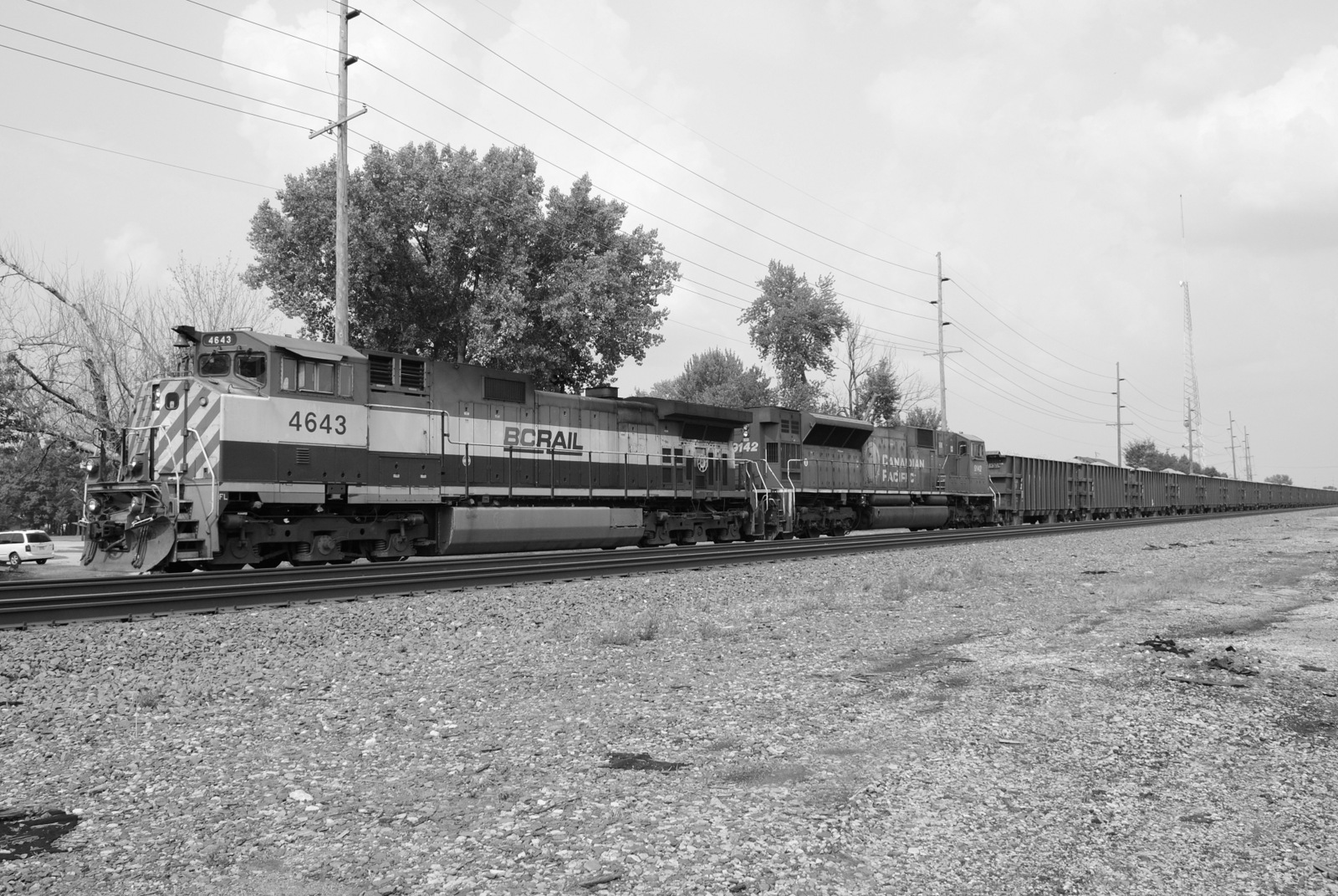
NS_Archbold-OH_Siding_926_BCOL4643-CP9142_080114-3BW
NS_Archbold-OH_13Q_CN.2613_052214-1Negative

NS_Archbold-OH_NS9361-NS6666-BCR4643-Herzog_071014-1Inverted
NS_Archbold-OH_13Q_CN.2613_052214-2Negative
Before we leave a Approach comes into view
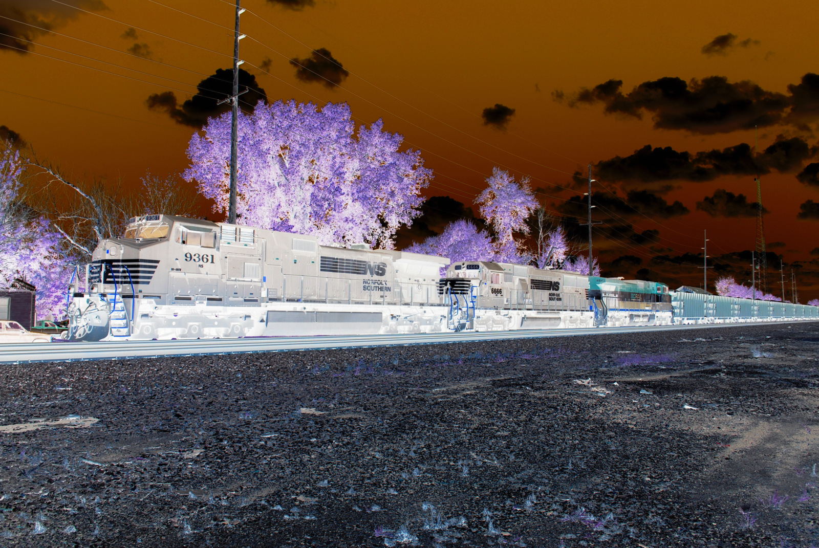
NS_Archbold-OH_NS9361-NS6666-BCR4643-Herzog_071014-2Inverted
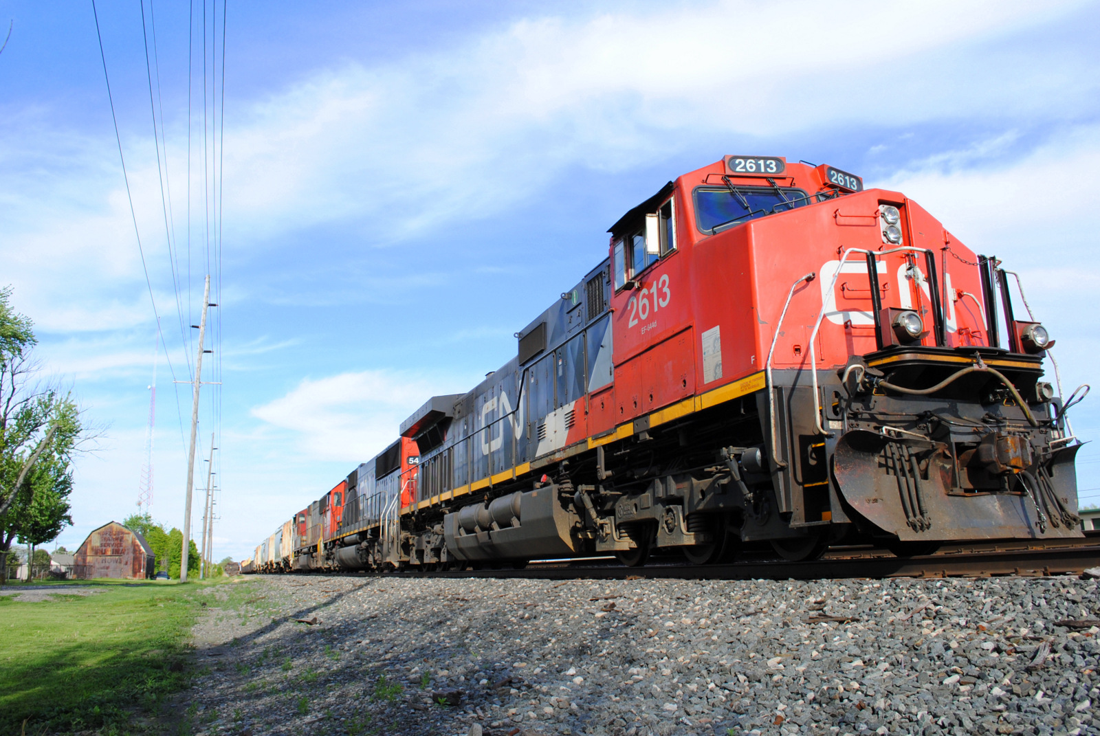
NS_Archbold-OH_13Q_CN.2613_052214-1
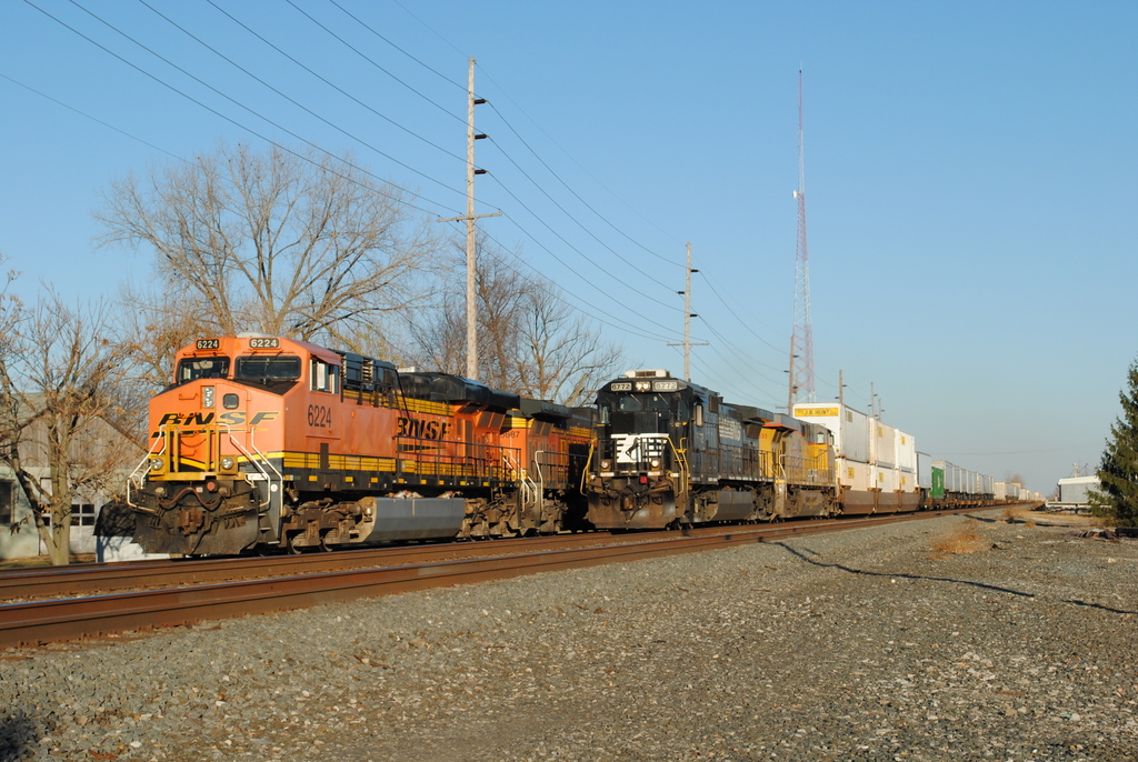
NS_Archbold-OH_205-BNSF6224_110610-2
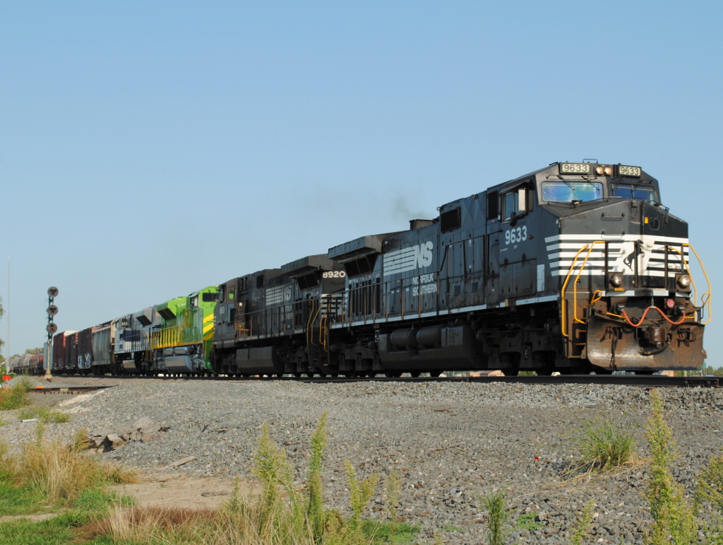
NS_Archbold-OH_CP329_15N_NS9633_083012-2
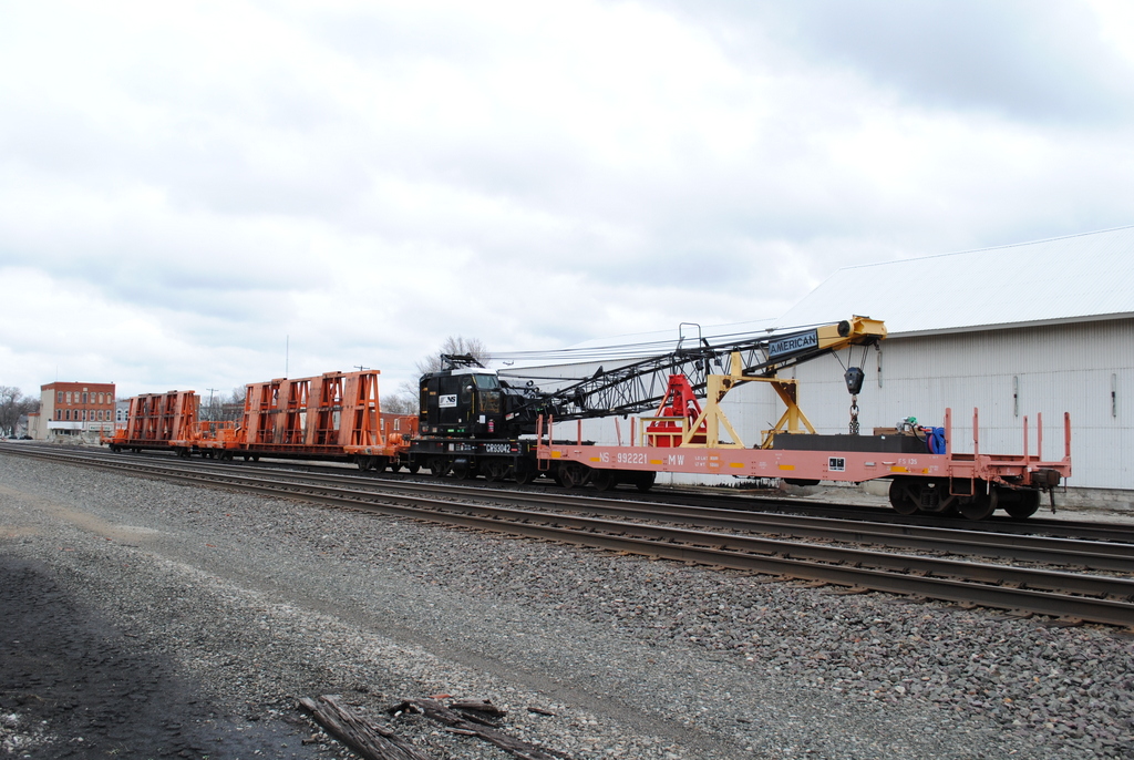
NS_Wauseon-OH_CP320_MOW-consist_041313-2
NS_Wauseon-OH_CP320_MOW-consist_041313-1
NS-Archbold-OH_BNSF5769_030610-2
NS_Wauseon-OH_CP320_NS901624_041313-1
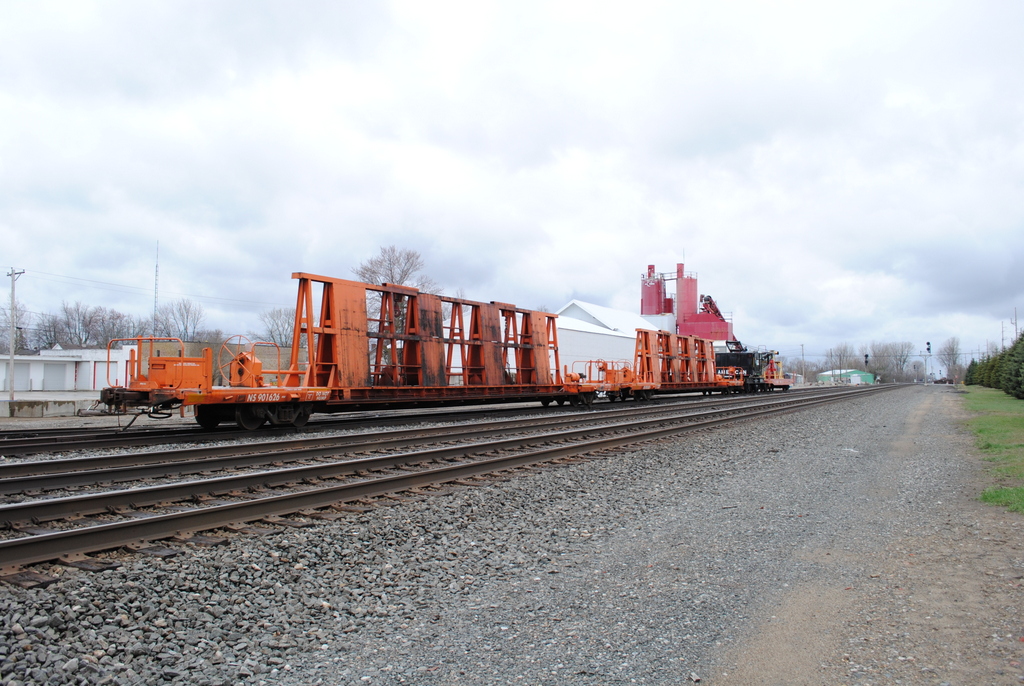
NS_Wauseon-OH_CP320_NS901626_041313-1
NS_Archbold-OH_14M-BNSF6224_110610-2
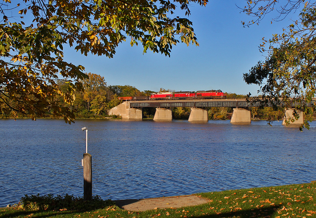
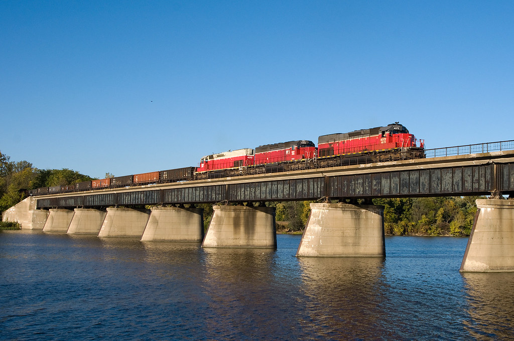
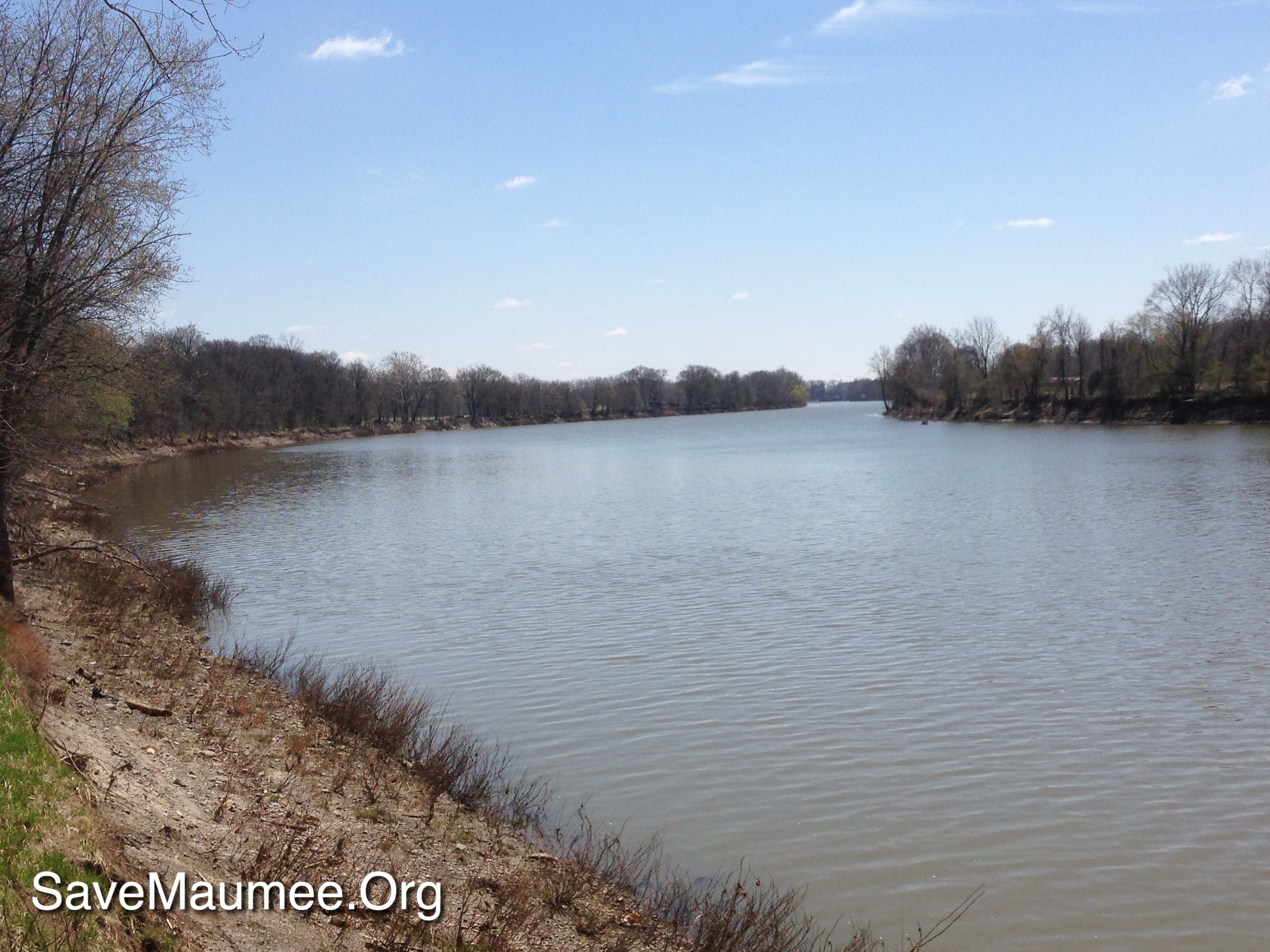
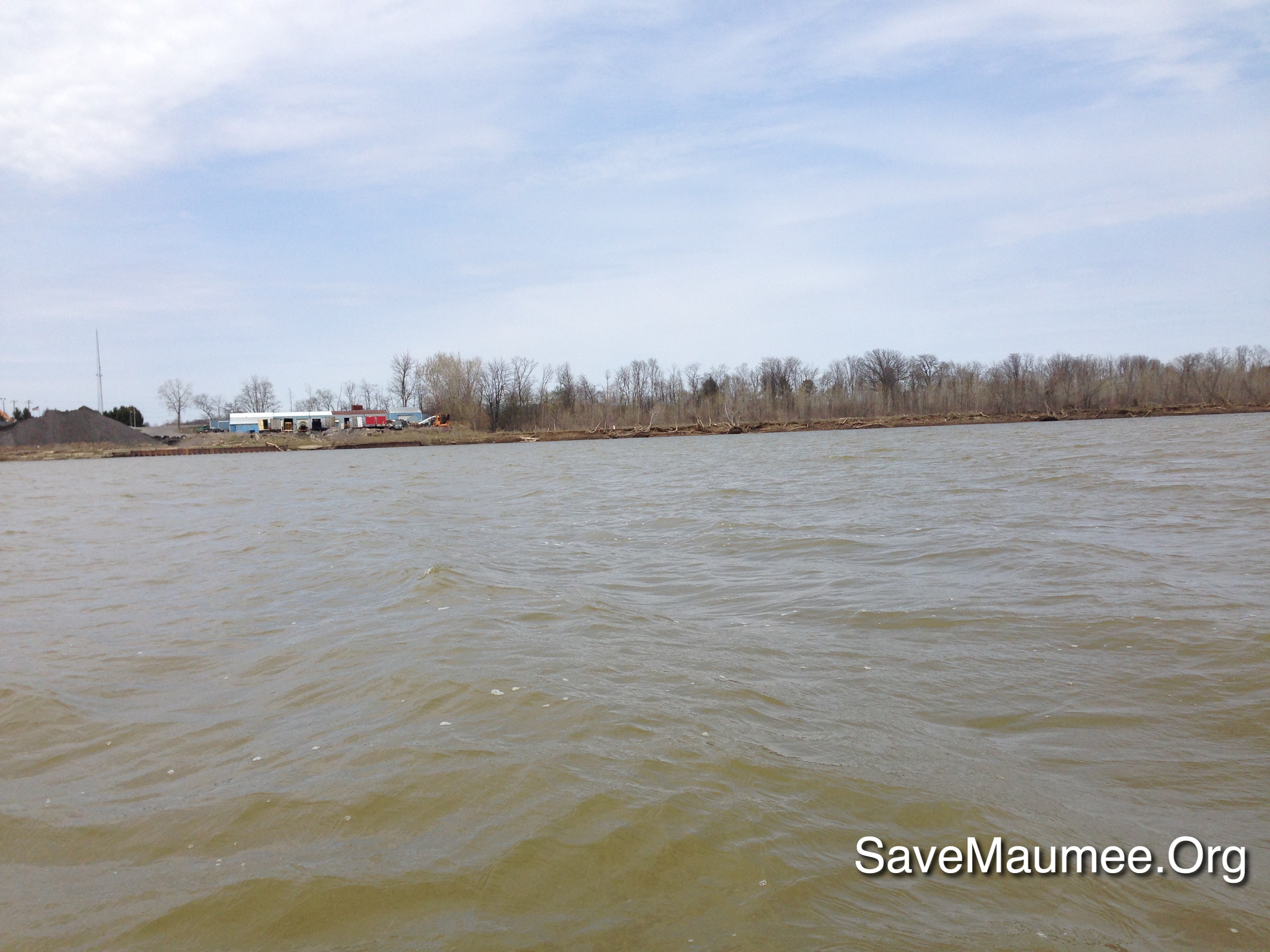
Over the Maumee
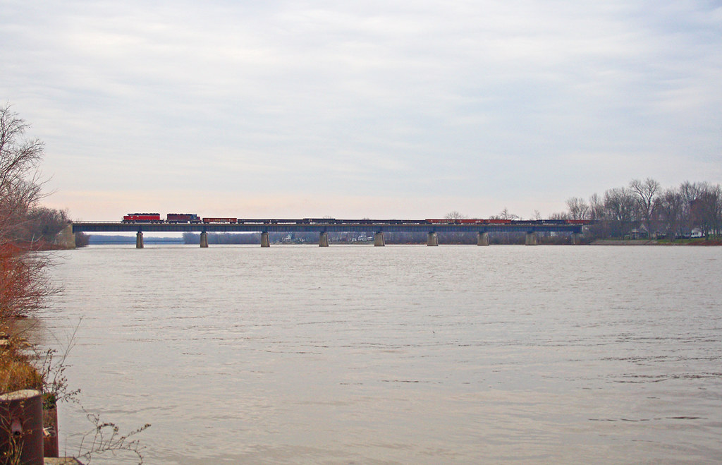
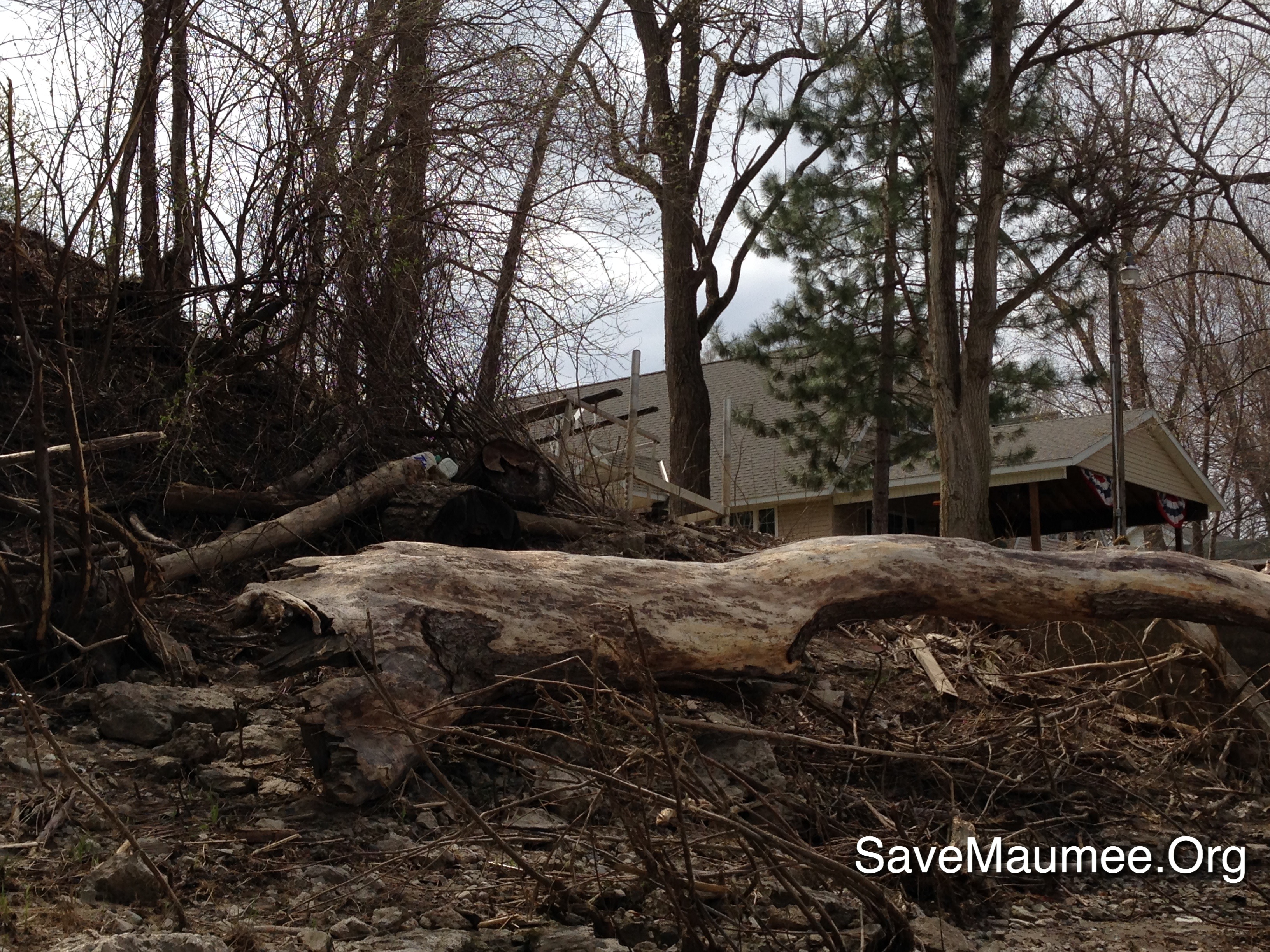
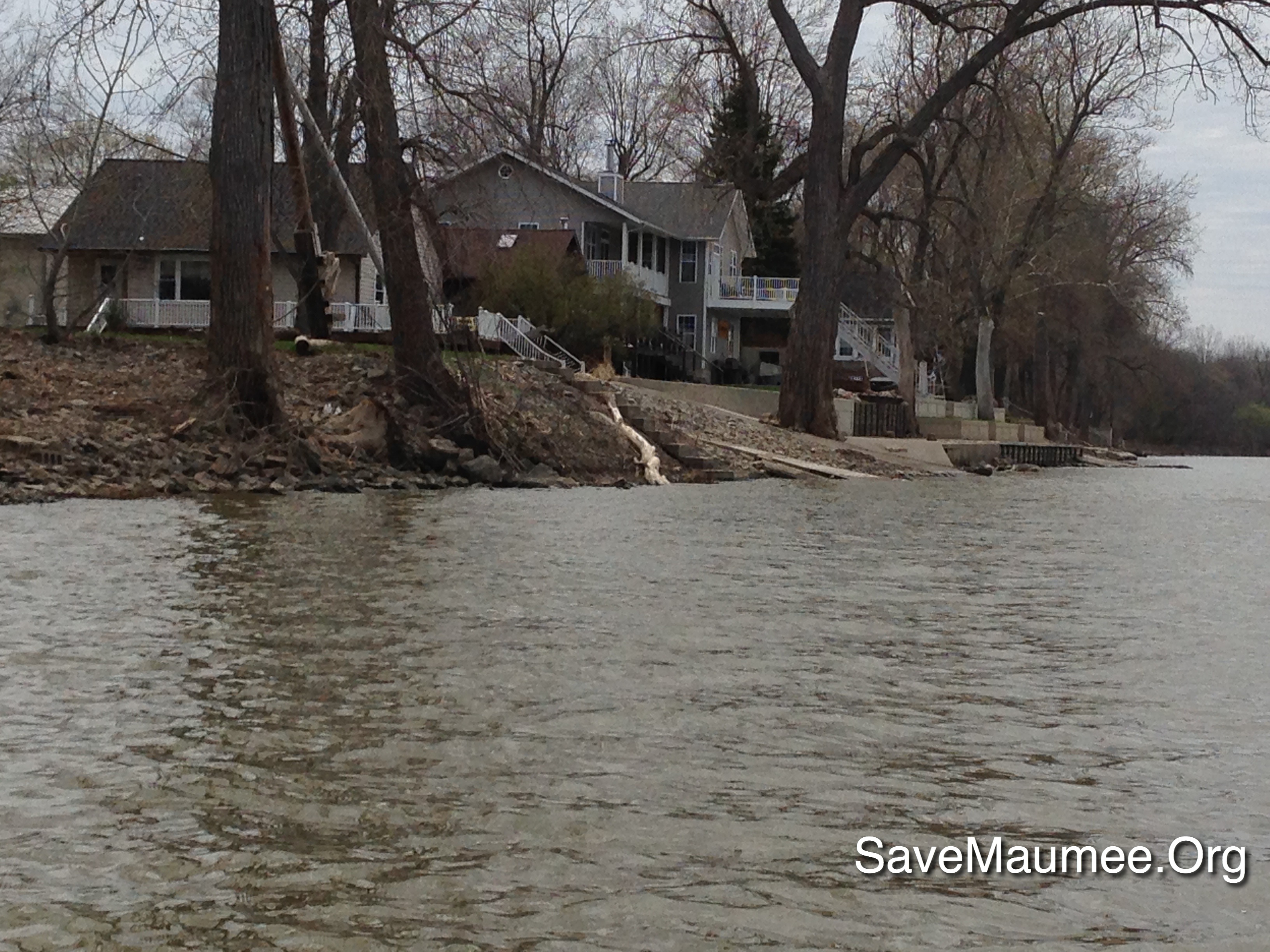
How Things Have Changed
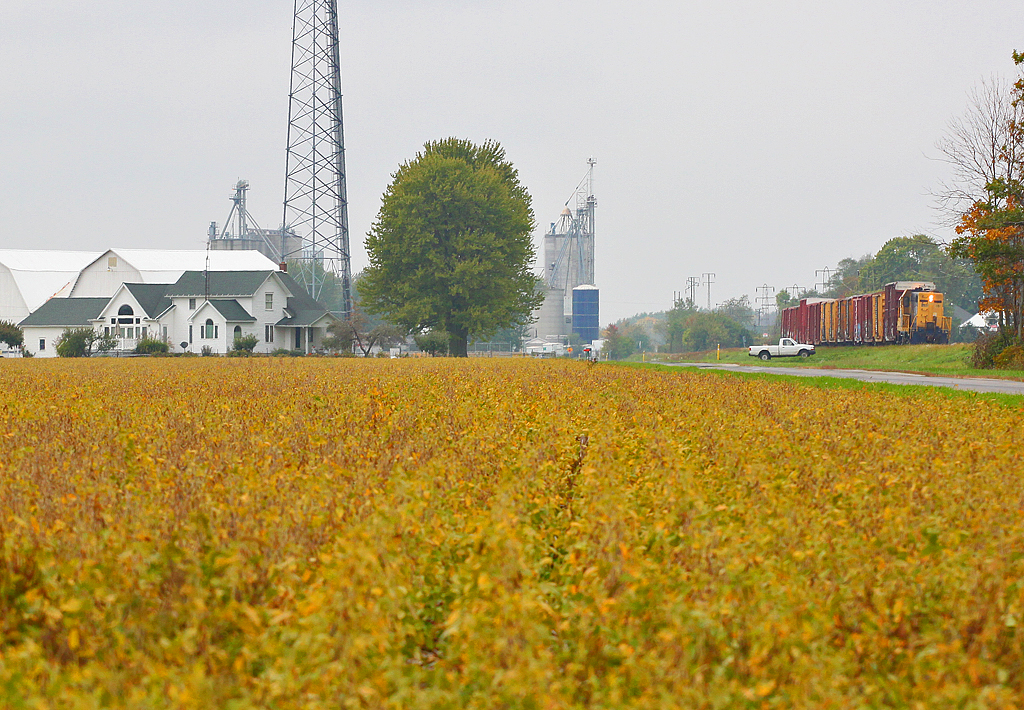
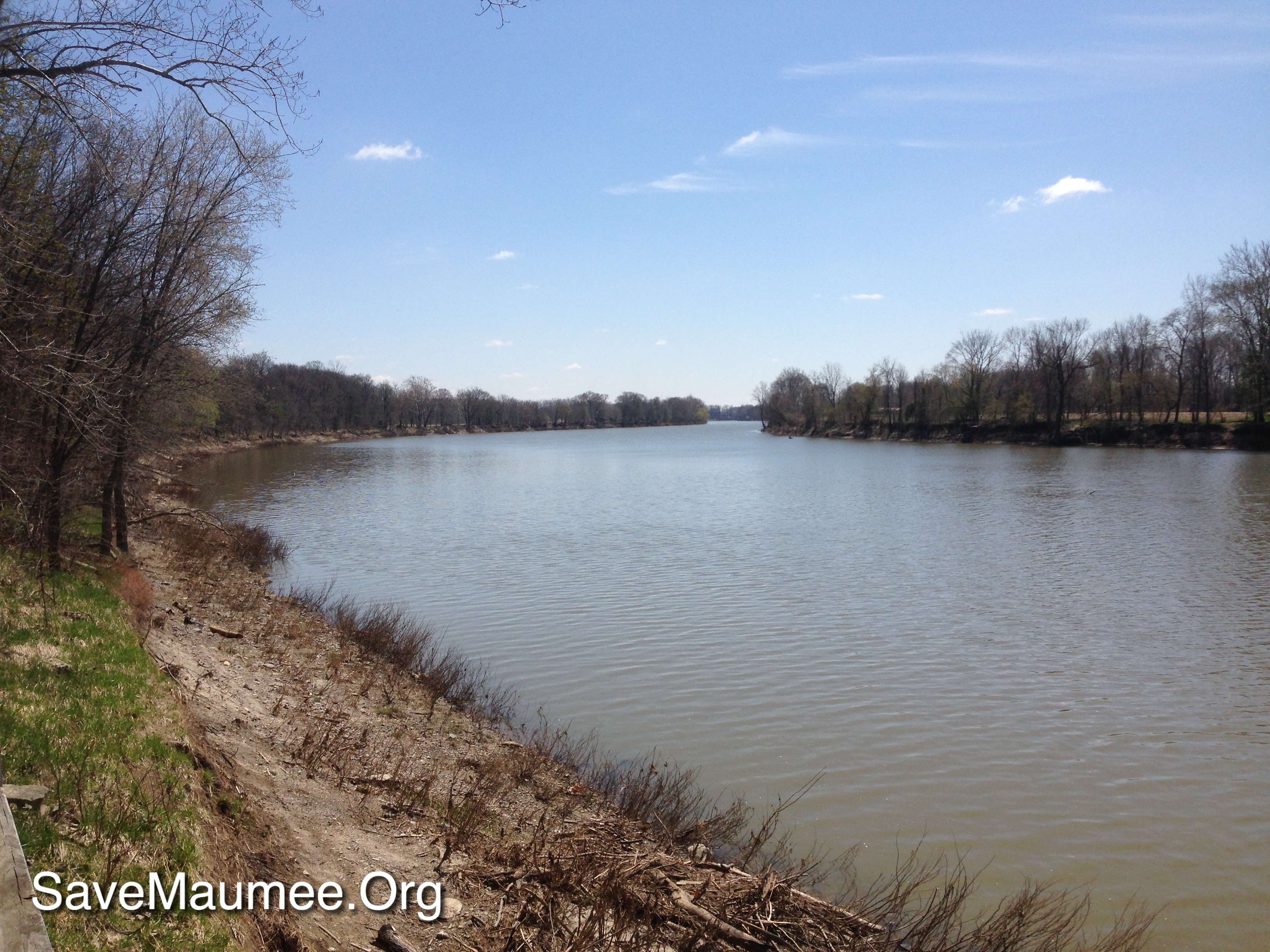
A Little Further Down the Road...
Christmas Eve Extra

independence Dam on the Maumee River
IORY LNLX - Liberty Center, Ohio
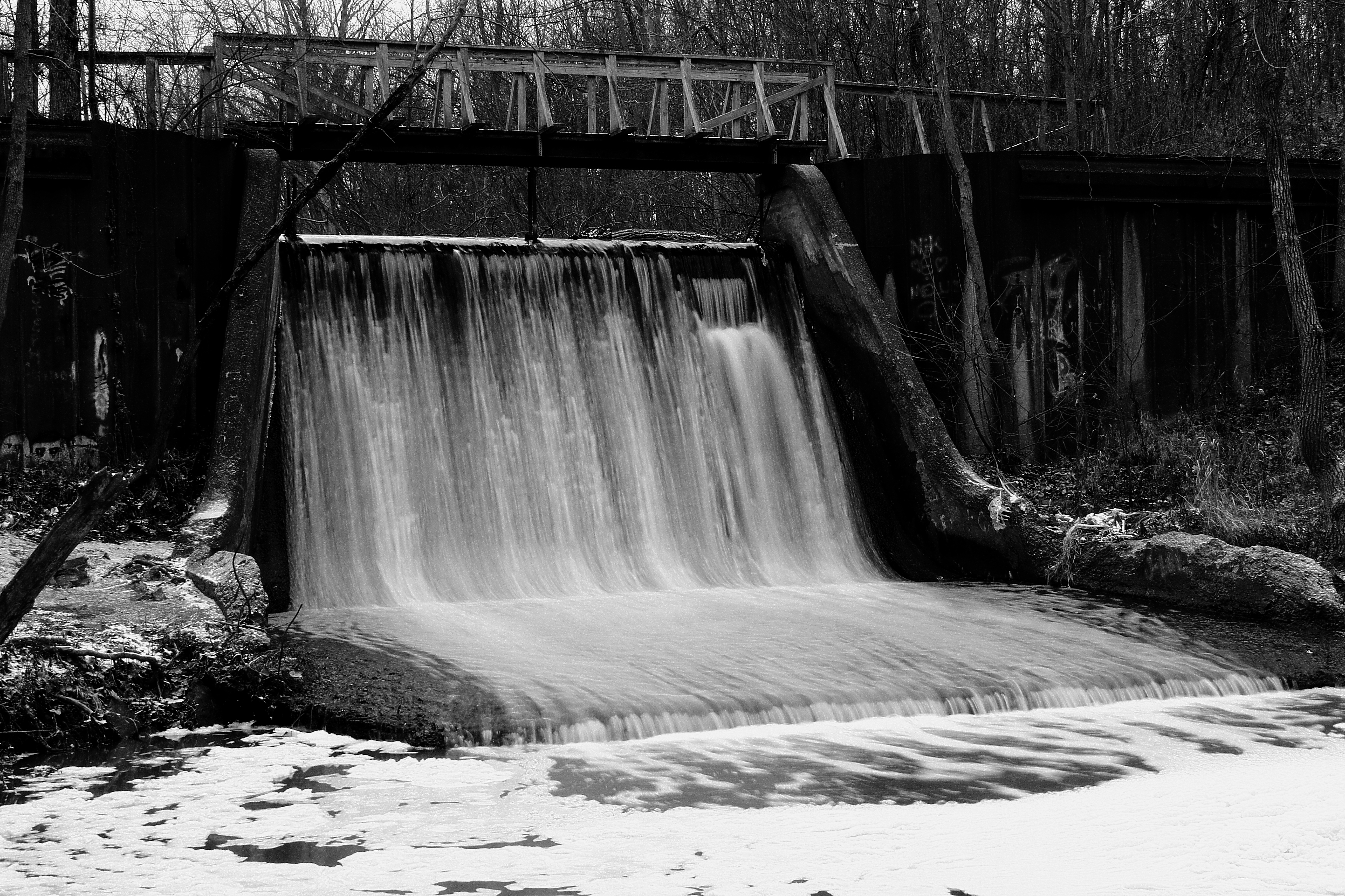
Canal Dam
41° 24' 36.8" N 84° 1' 58.7" W0.0IMG_4607Apr 24, 201413:58:37
41° 21' 23.6" N 84° 8' 42.7" W0.0IMG_4399Apr 23, 201413:46:25

TV Time Popcorn
41° 21' 23.6" N 84° 8' 42.7" W0.0IMG_4400Apr 23, 201413:46:29
41° 24' 34.2" N 84° 1' 25.0" W0.0IMG_4624Apr 24, 201414:57:59
IMG_1602.5
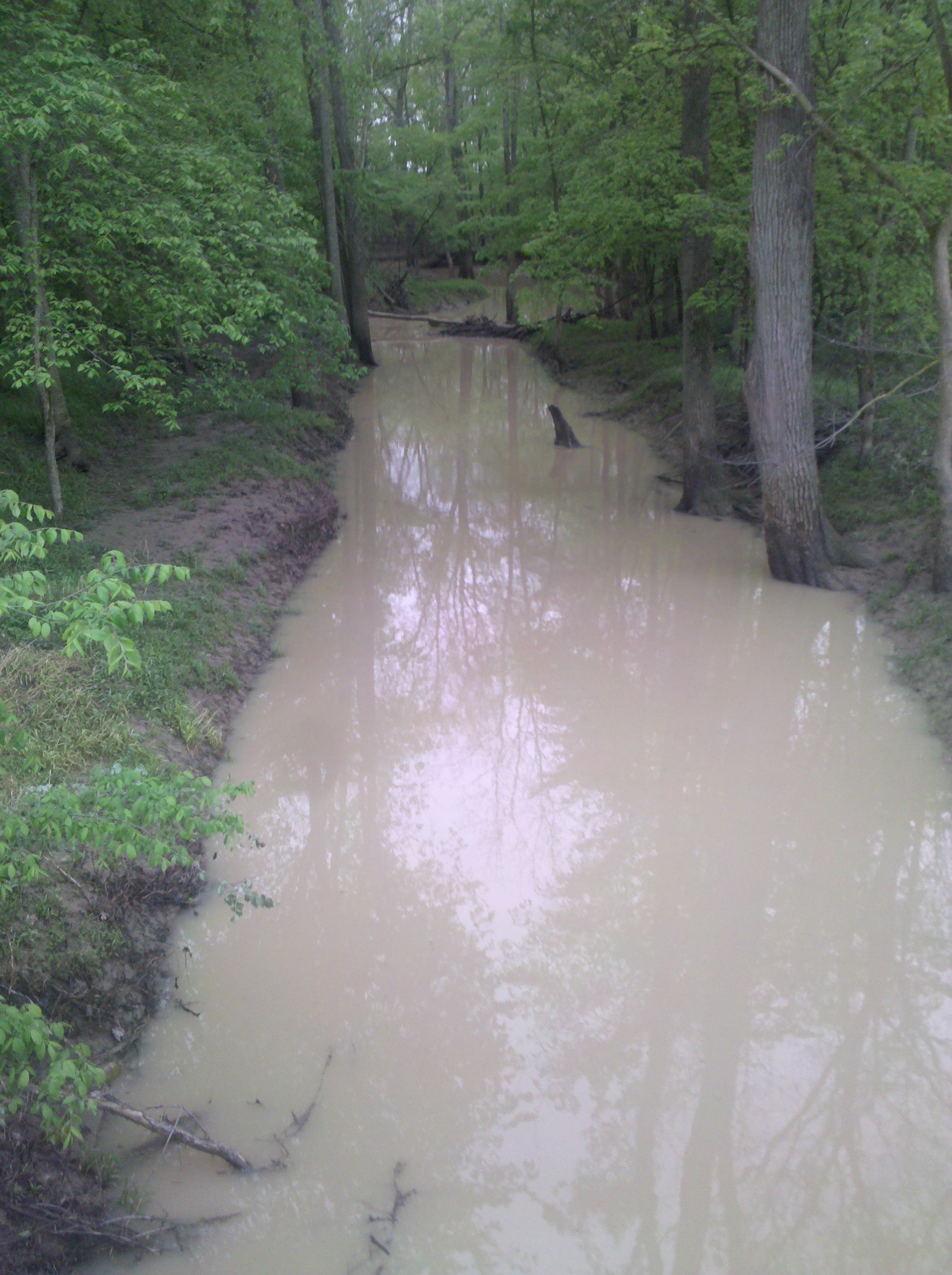
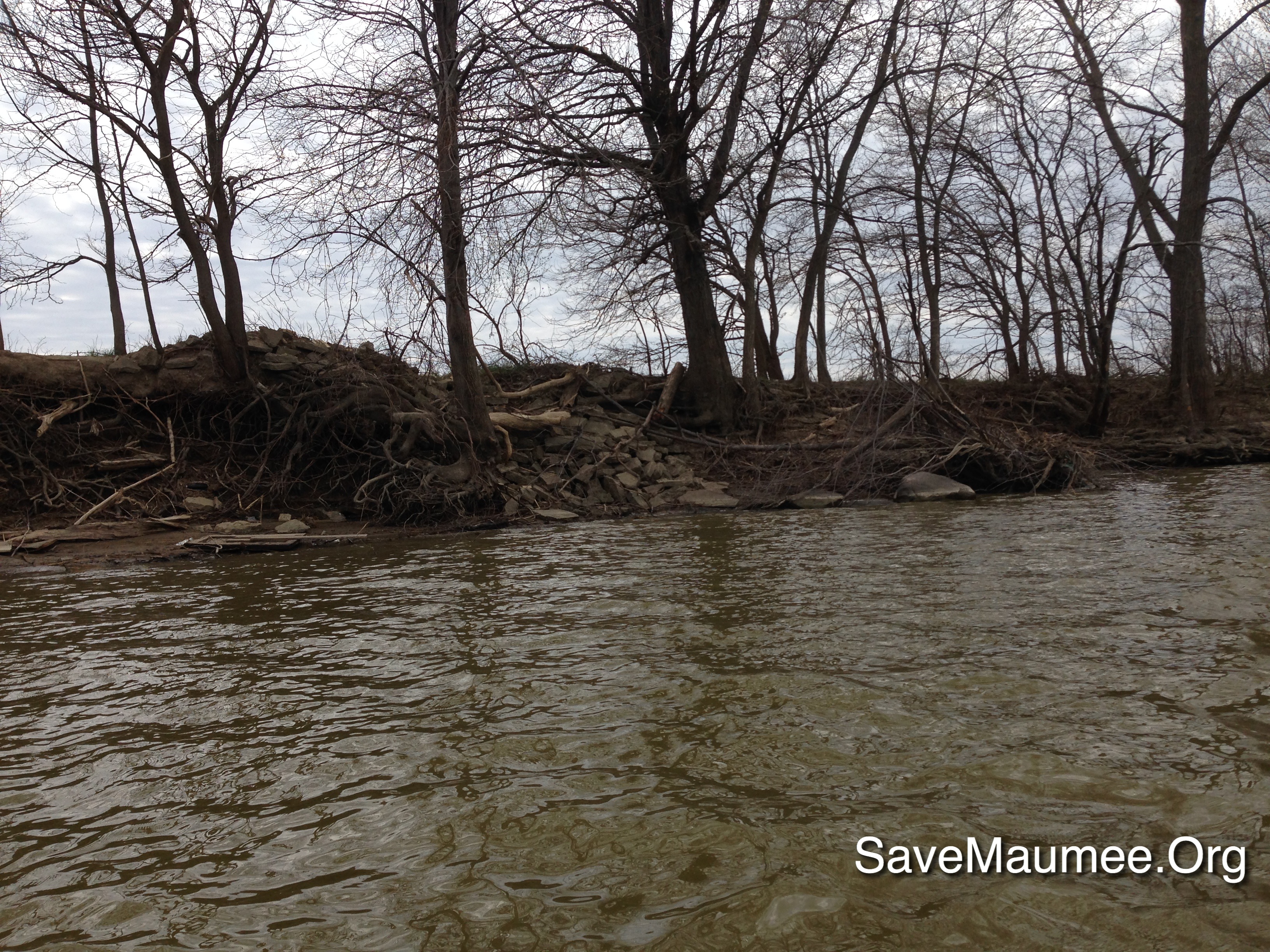
A muddy creek
41° 24' 32.8" N 84° 1' 8.3" W0.0IMG_4626Apr 24, 201415:07:51
Napoleon-Napoleon Commerce Park Hogrefe (CORF)
Napoleon-Napoleon Commerce Park Hogrefe (CORF)

independence Dam on the Maumee River
41° 24' 39.1" N 84° 2' 17.7" W0.0IMG_4601Apr 24, 201413:51:39
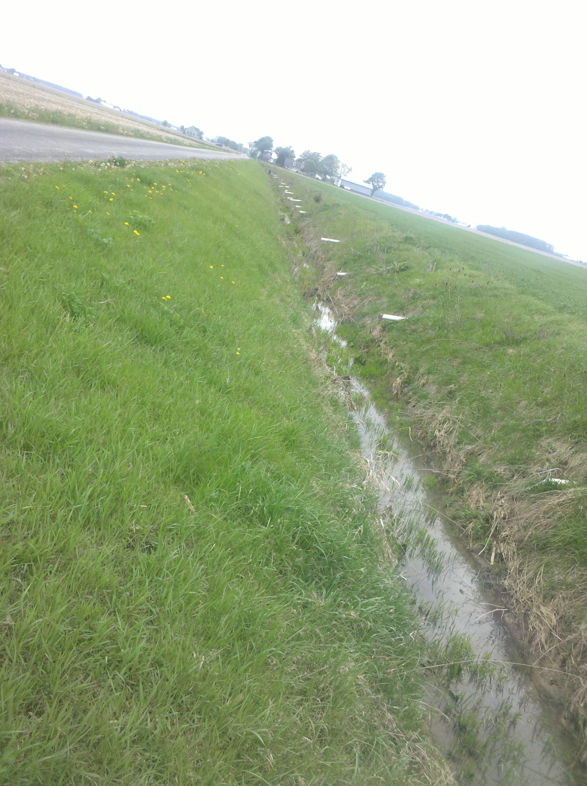
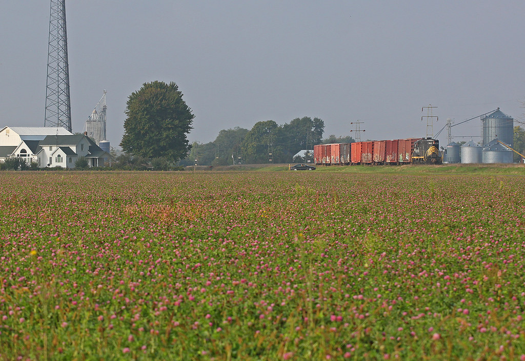
Draining the fields
Napoleon-Napoleon Commerce Park Hogrefe (CORF)
Topographic Map of US-6, Napoleon, OH, USA
Find elevation by address:

Places near US-6, Napoleon, OH, USA:
Co Rd U, Napoleon, OH, USA
Freedom Township
Ridgeville Corners
175 Wayne Park Dr
N-084
13414 County Rd S
Napoleon
600 Independence Dr
County Rd W, Wauseon, OH, USA
W High St, Napoleon, OH, USA
Florida
Henry County Hospital
Flatrock Township
Main St, Wauseon, OH, USA
Jewell Rd, Defiance, OH, USA
Henry County Airport
Fulton County Health Center
German Township
10567 Stevens Rd
24405 County Rd W
Recent Searches:
- Elevation of Corso Fratelli Cairoli, 35, Macerata MC, Italy
- Elevation of Tallevast Rd, Sarasota, FL, USA
- Elevation of 4th St E, Sonoma, CA, USA
- Elevation of Black Hollow Rd, Pennsdale, PA, USA
- Elevation of Oakland Ave, Williamsport, PA, USA
- Elevation of Pedrógão Grande, Portugal
- Elevation of Klee Dr, Martinsburg, WV, USA
- Elevation of Via Roma, Pieranica CR, Italy
- Elevation of Tavkvetili Mountain, Georgia
- Elevation of Hartfords Bluff Cir, Mt Pleasant, SC, USA