Elevation of Henry County, OH, USA
Location: United States > Ohio >
Longitude: -84.016742
Latitude: 41.3659897
Elevation: 207m / 679feet
Barometric Pressure: 99KPa
Elevation Map:
Satellite Map:
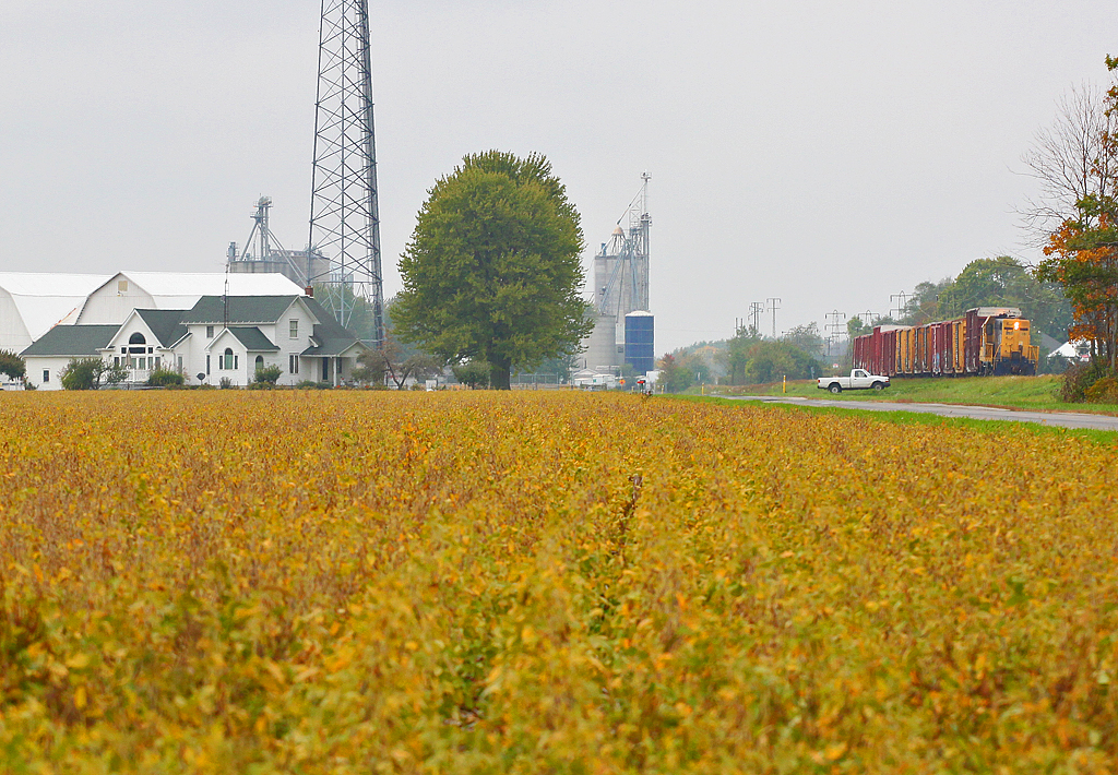
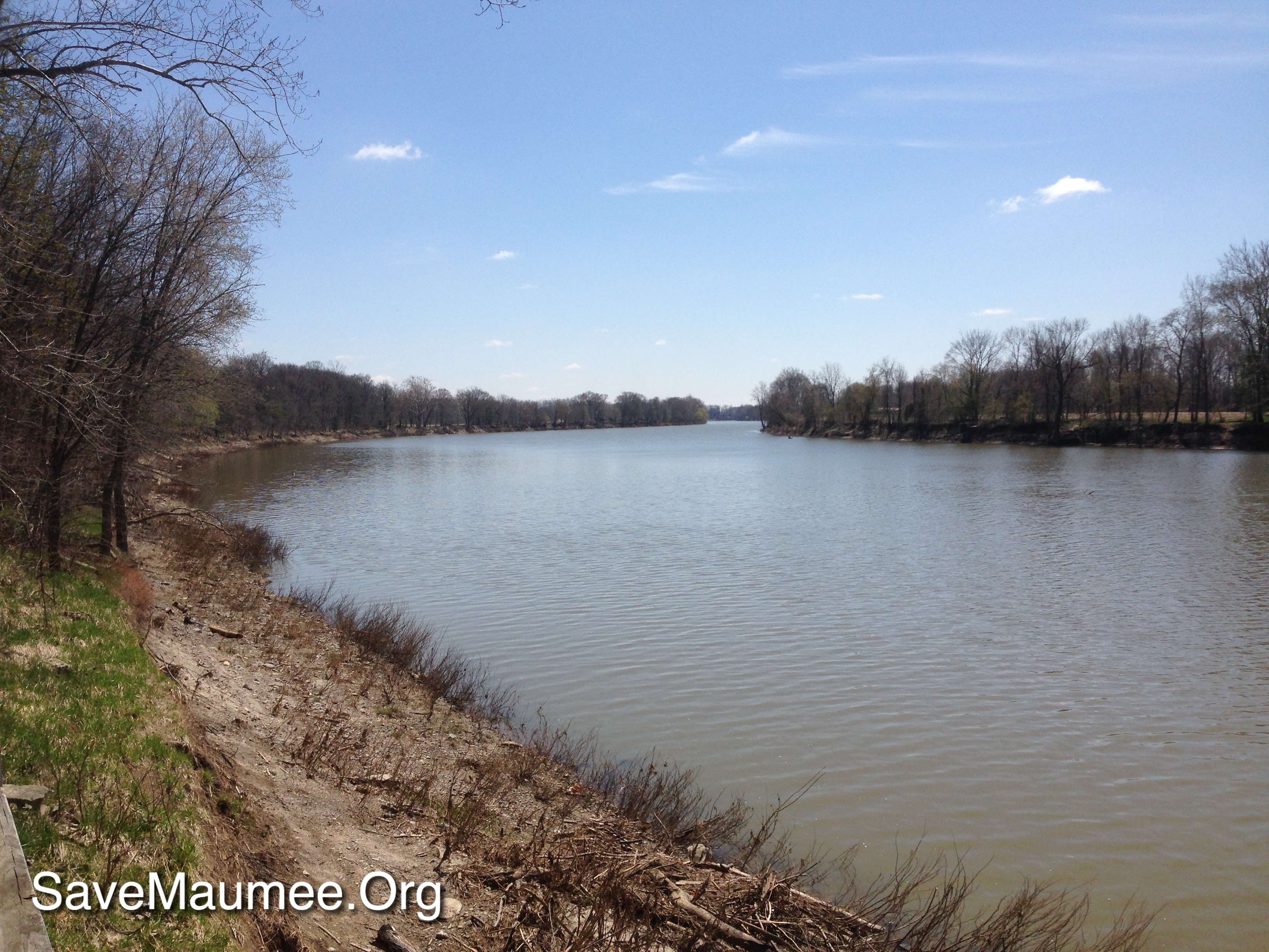
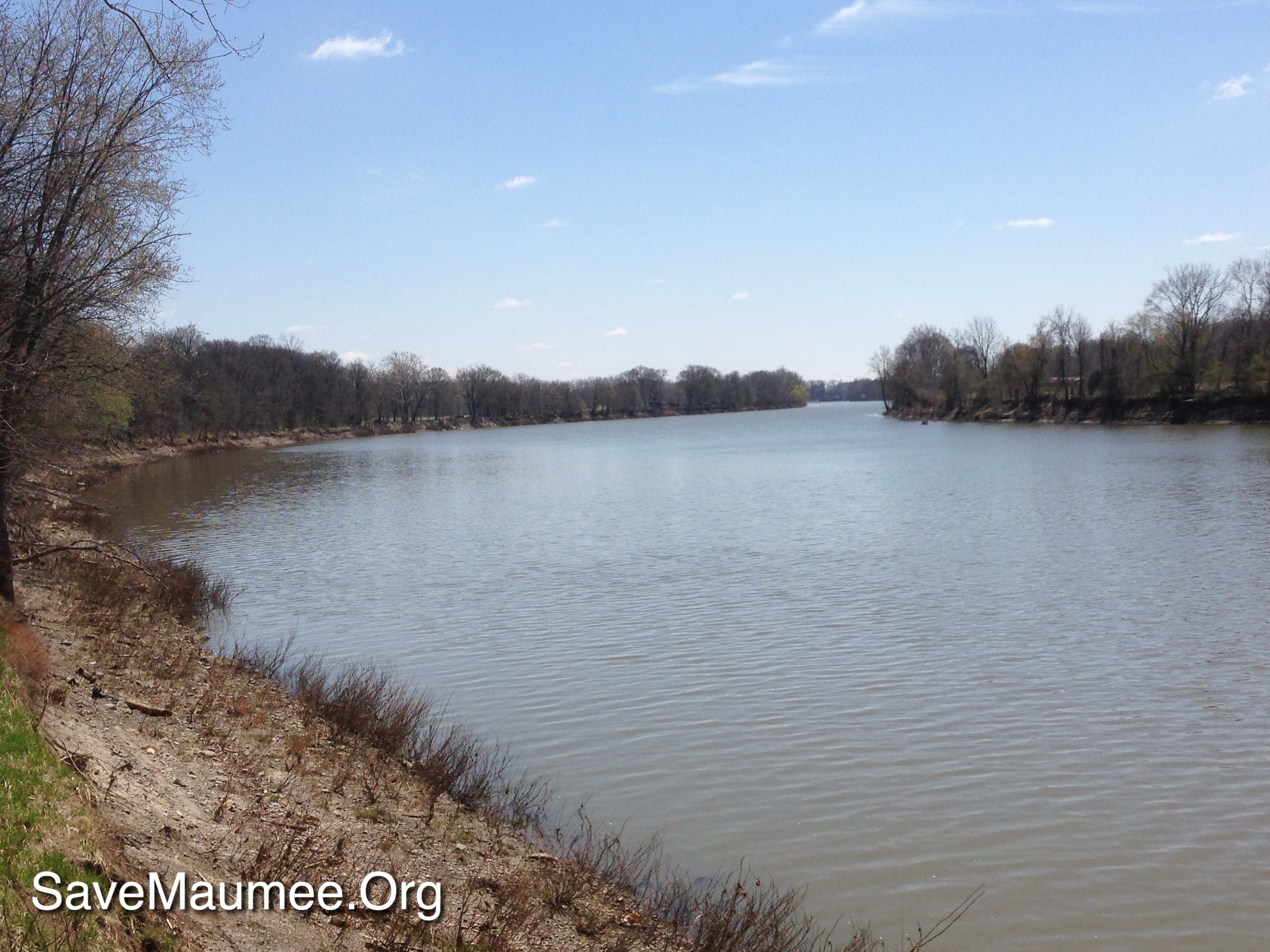
Related Photos:
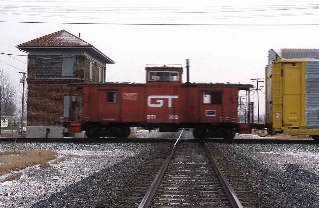
DT&I Caboose Hamler, Ohio

Bridge view of the canal

River in the Night

Hamler, Ohio Tower Operator

My hometown of Grand Rapids, Ohio may not have the dramatic night skies of the West, but look in the right places and you'll find some amazing views. #visitohio #GrandRapids #nightphotography #railroad #stars #nwohio #maumeeriver #nightsky #Sonyalpha #aw

Canal Catenary

Grandpa's Desk
Radish Gate Side View
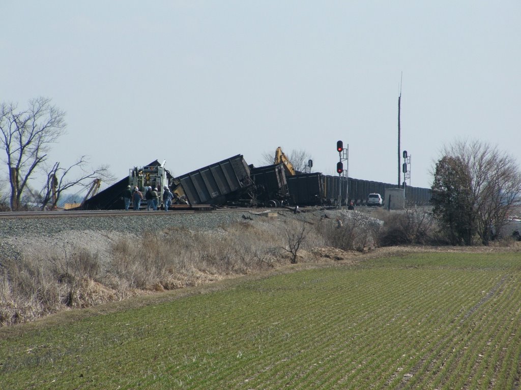
CSX_Hamler-OH_EastHamler_T909_Derailment_031709-7

Canal Side View

Maumee River

Waiting for Warmth

The Iron Horse
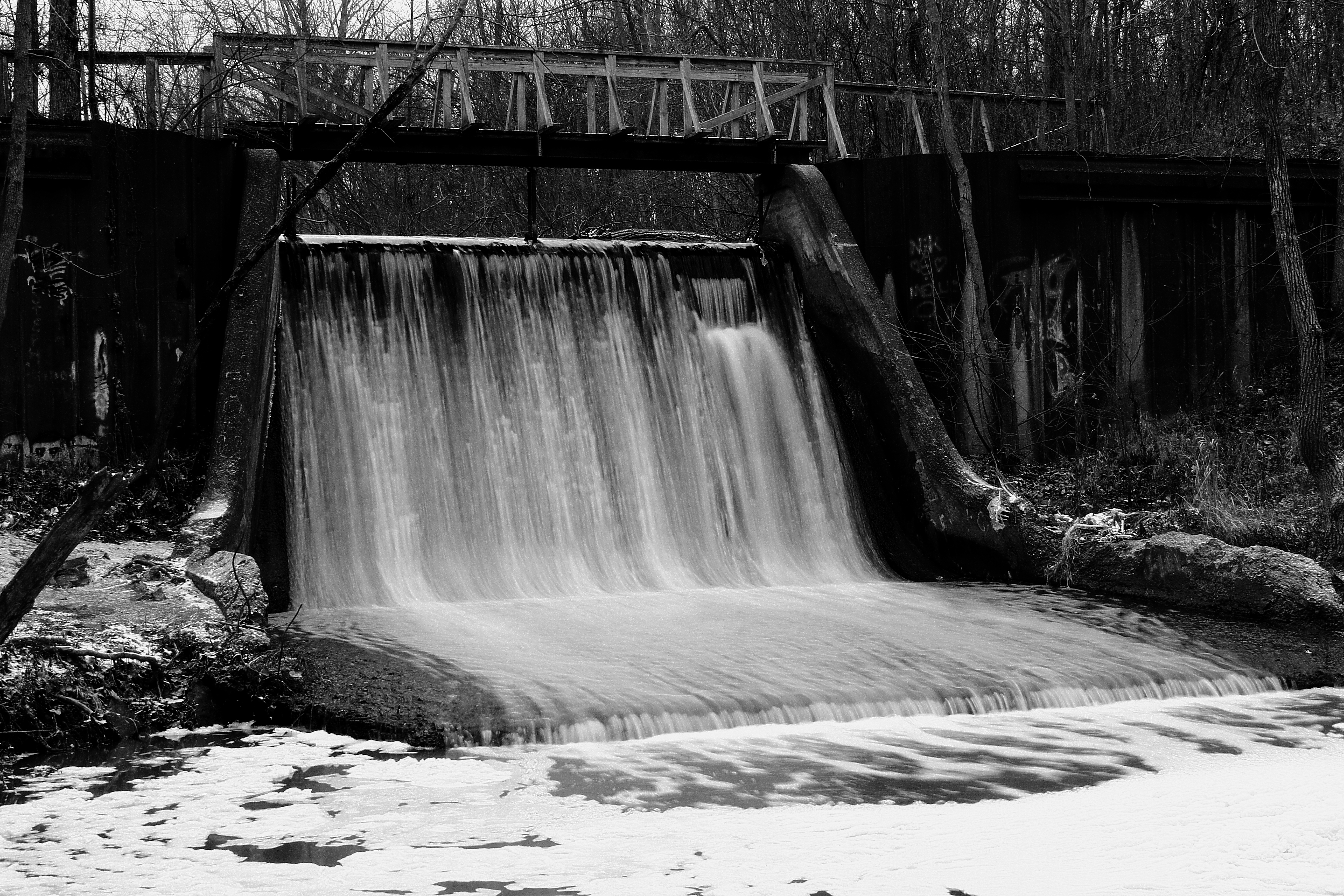
Canal Dam
A Little Further Down the Road...

A Corny Sunset

Gilead Side-Cut
41° 21' 23.6" N 84° 8' 42.7" W0.0IMG_4399Apr 23, 201413:46:25

TV Time Popcorn
41° 21' 23.6" N 84° 8' 42.7" W0.0IMG_4400Apr 23, 201413:46:29

IORY LNLX - Liberty Center, Ohio
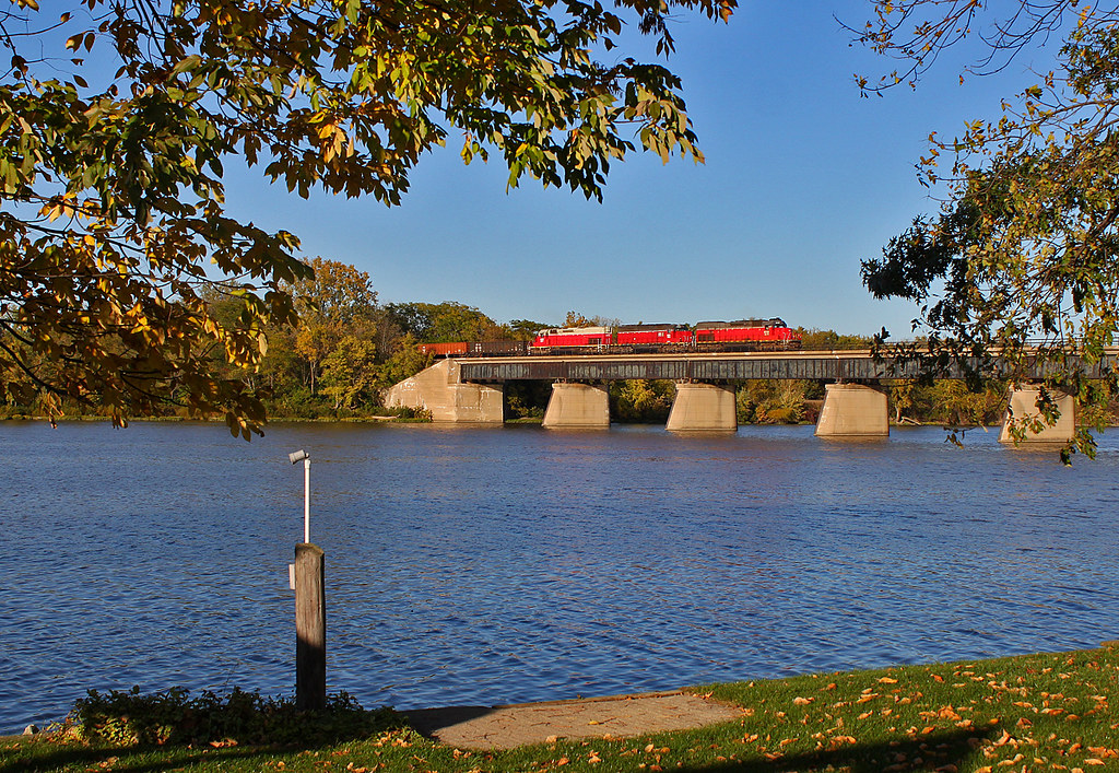
Over the Maumee
Amazing place

Frozen river #GrandRapids #Ohio

Napoleon, OH
Christmas Eve Extra
Turkey Foot Bridge

Reflecting river #Night #grandrapids #Ohio

Sunset Flight

Frozen Creek

41° 24' 36.8" N 84° 1' 58.7" W0.0IMG_4607Apr 24, 201413:58:37
Topographic Map of Henry County, OH, USA
Find elevation by address:

Places in Henry County, OH, USA:
Monroe Township
Napoleon
Flatrock Township
Marion Township
Washington Township
Freedom Township
US-6, Napoleon, OH, USA
S Damascus St, Liberty Center, OH, USA
W North St, McClure, OH, USA
County Rd W, Wauseon, OH, USA
Walnut St, New Bavaria, OH, USA
Co Rd B, New Bavaria, OH, USA
Mcclure
Ridgeville Corners
Places near Henry County, OH, USA:
N Turkey Foot Ave, Malinta, OH, USA
Henry County Airport
Monroe Township
W North St, McClure, OH, USA
Mcclure
Liberty Center
S Damascus St, Liberty Center, OH, USA
Henry County Hospital
Elery
Texas
Co Rd 10, Hamler, OH, USA
544 Township Rd 5b
600 Independence Dr
Napoleon
Washington Township
13414 County Rd S
V636 County Rd 4a
175 Wayne Park Dr
Hamler
Belton St, Hamler, OH, USA
Recent Searches:
- Elevation of Corso Fratelli Cairoli, 35, Macerata MC, Italy
- Elevation of Tallevast Rd, Sarasota, FL, USA
- Elevation of 4th St E, Sonoma, CA, USA
- Elevation of Black Hollow Rd, Pennsdale, PA, USA
- Elevation of Oakland Ave, Williamsport, PA, USA
- Elevation of Pedrógão Grande, Portugal
- Elevation of Klee Dr, Martinsburg, WV, USA
- Elevation of Via Roma, Pieranica CR, Italy
- Elevation of Tavkvetili Mountain, Georgia
- Elevation of Hartfords Bluff Cir, Mt Pleasant, SC, USA