Elevation of Liberty Center, OH, USA
Location: United States > Ohio > Henry County > Washington Township >
Longitude: -84.0088346
Latitude: 41.443385
Elevation: 207m / 679feet
Barometric Pressure: 0KPa
Related Photos:

River in the Night
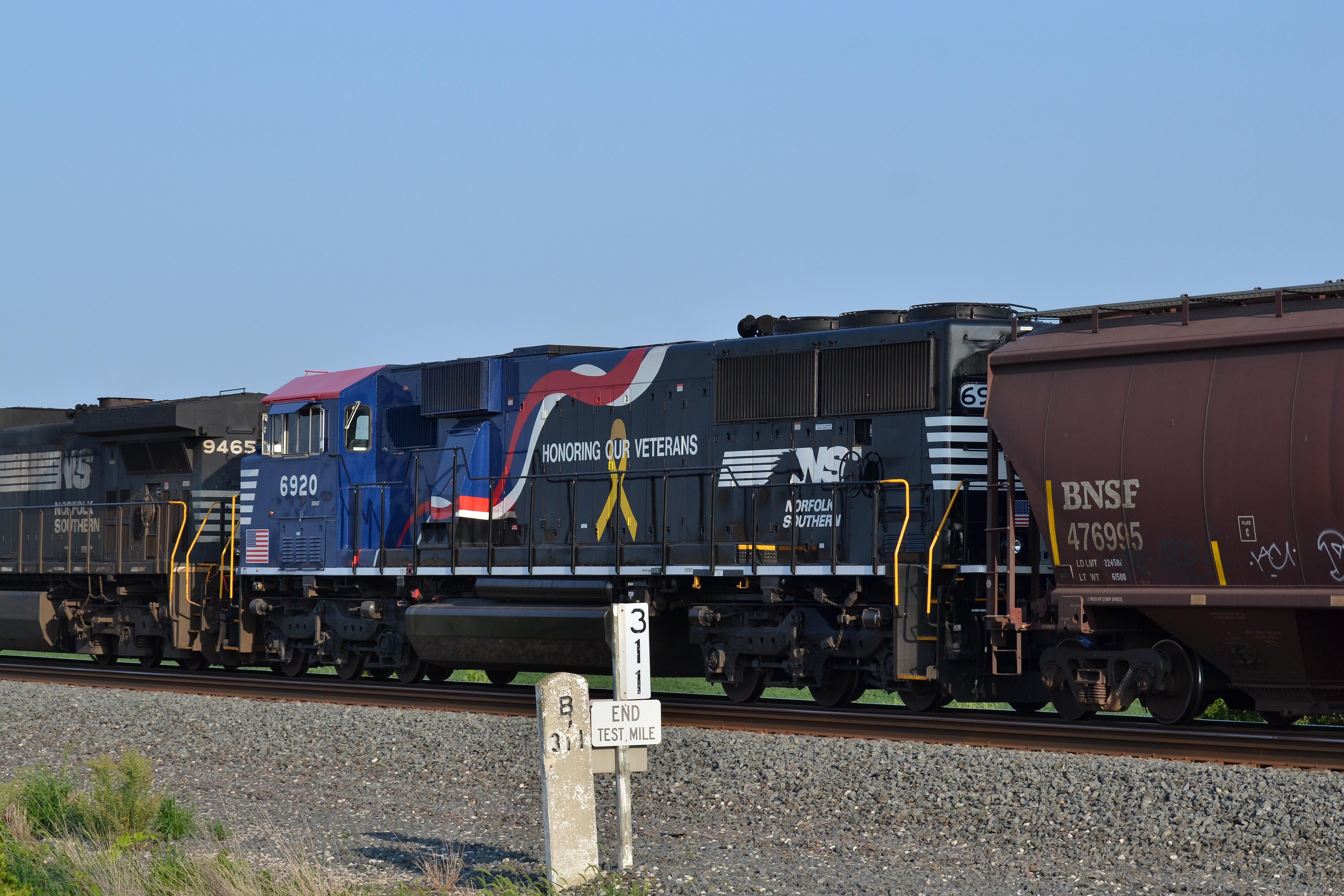
Finally a daylight view of 6920

Bridge view of the canal

My hometown of Grand Rapids, Ohio may not have the dramatic night skies of the West, but look in the right places and you'll find some amazing views. #visitohio #GrandRapids #nightphotography #railroad #stars #nwohio #maumeeriver #nightsky #Sonyalpha #aw
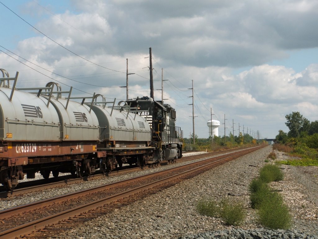
NS_Delta-OH_B41_NS5186_091609-4
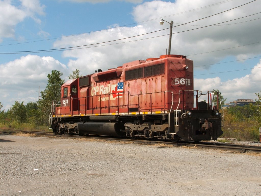
IORY_Delta-OH_Yard_NERX5678_091609-2
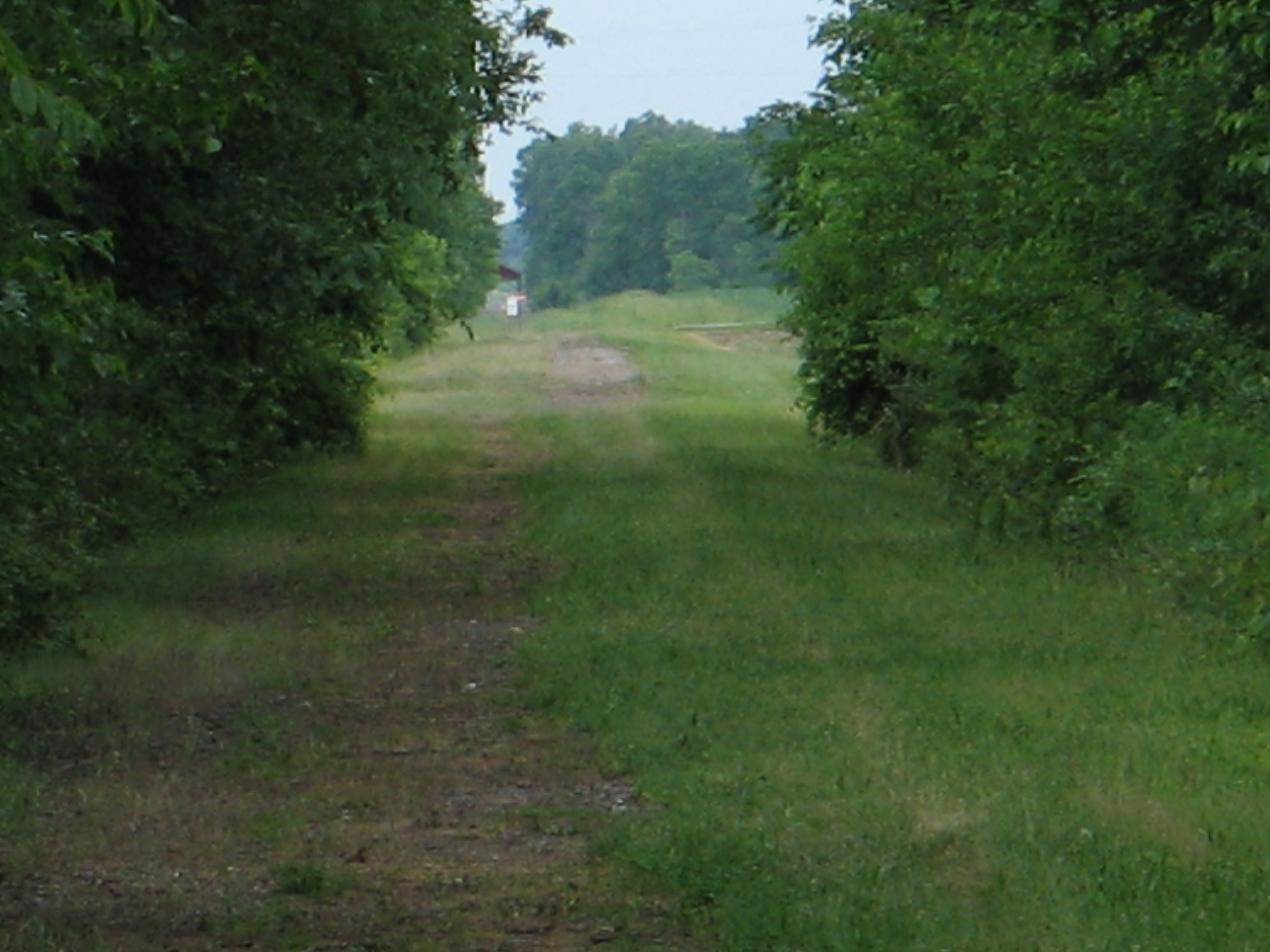
Wabash Cannonball Trail near Wauseon, Ohio
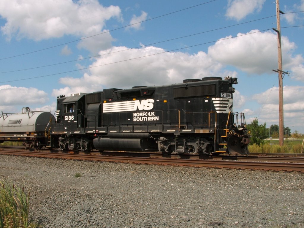
NS_Delta-OH_B41_NS5186_091609-3
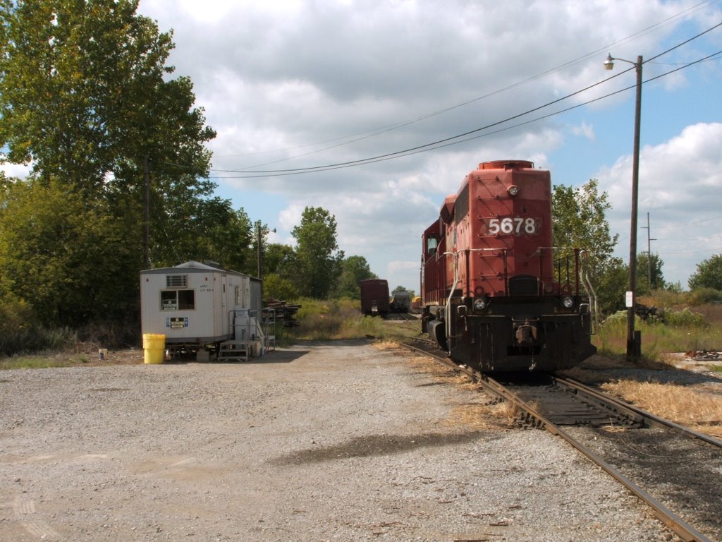
IORY_Delta-OH_Yard_NERX5678_091609-1

Radish Gate Side View

Canal Side View

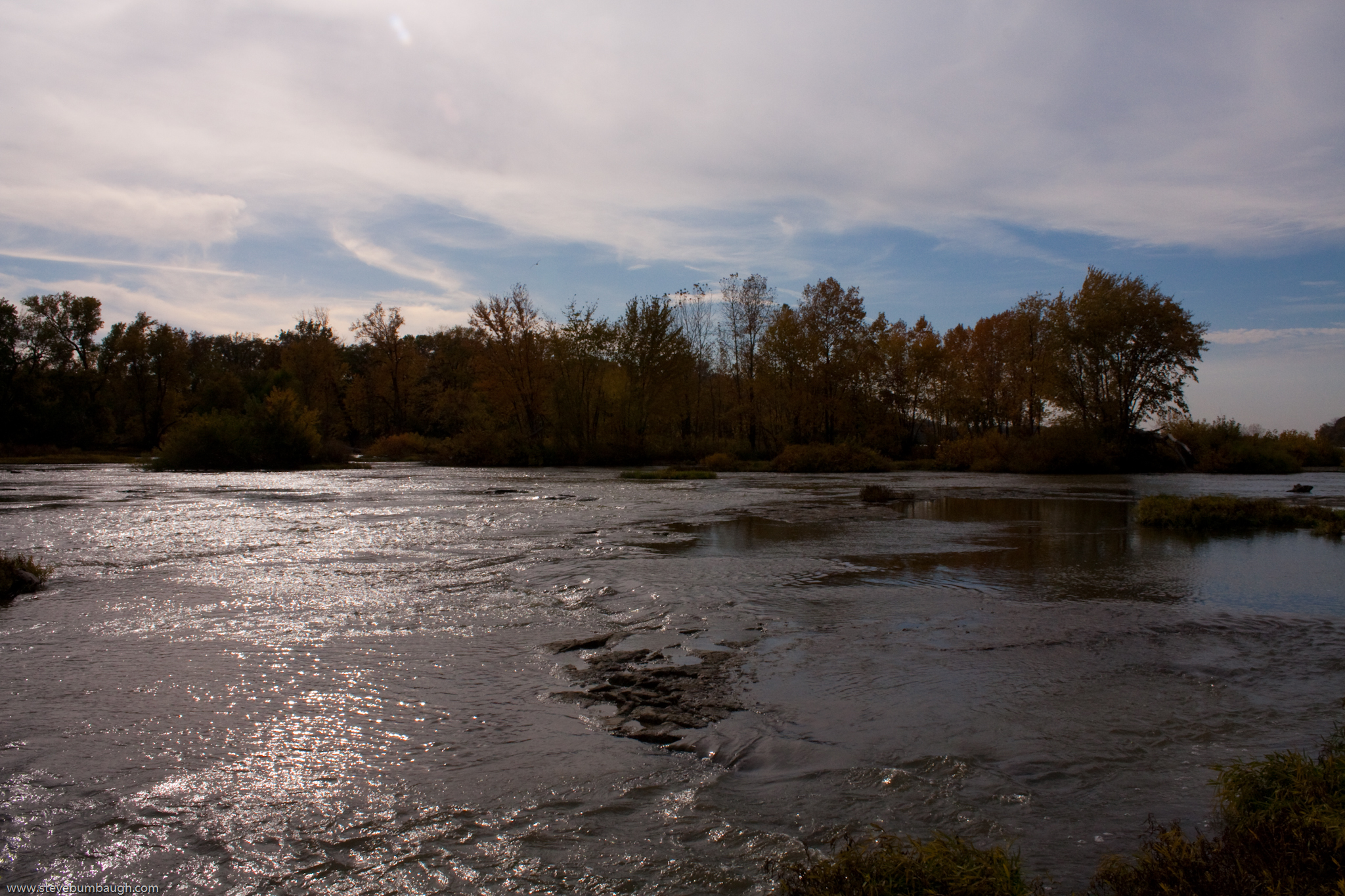
Maumee River

Canal Catenary

The Iron Horse
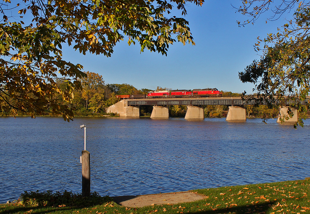
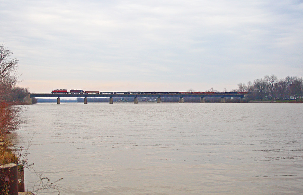
Over the Maumee

TV Time Popcorn

IORY LNLX - Liberty Center, Ohio

Frozen river #GrandRapids #Ohio
Amazing place
Christmas Eve Extra
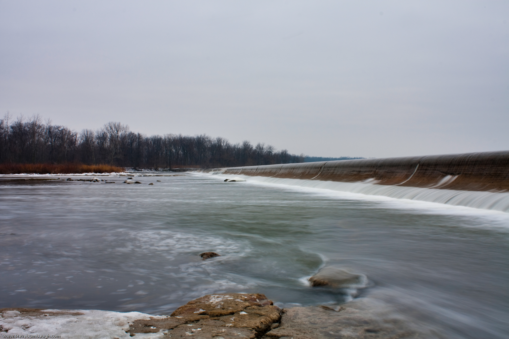
Rapids at Providence Dam
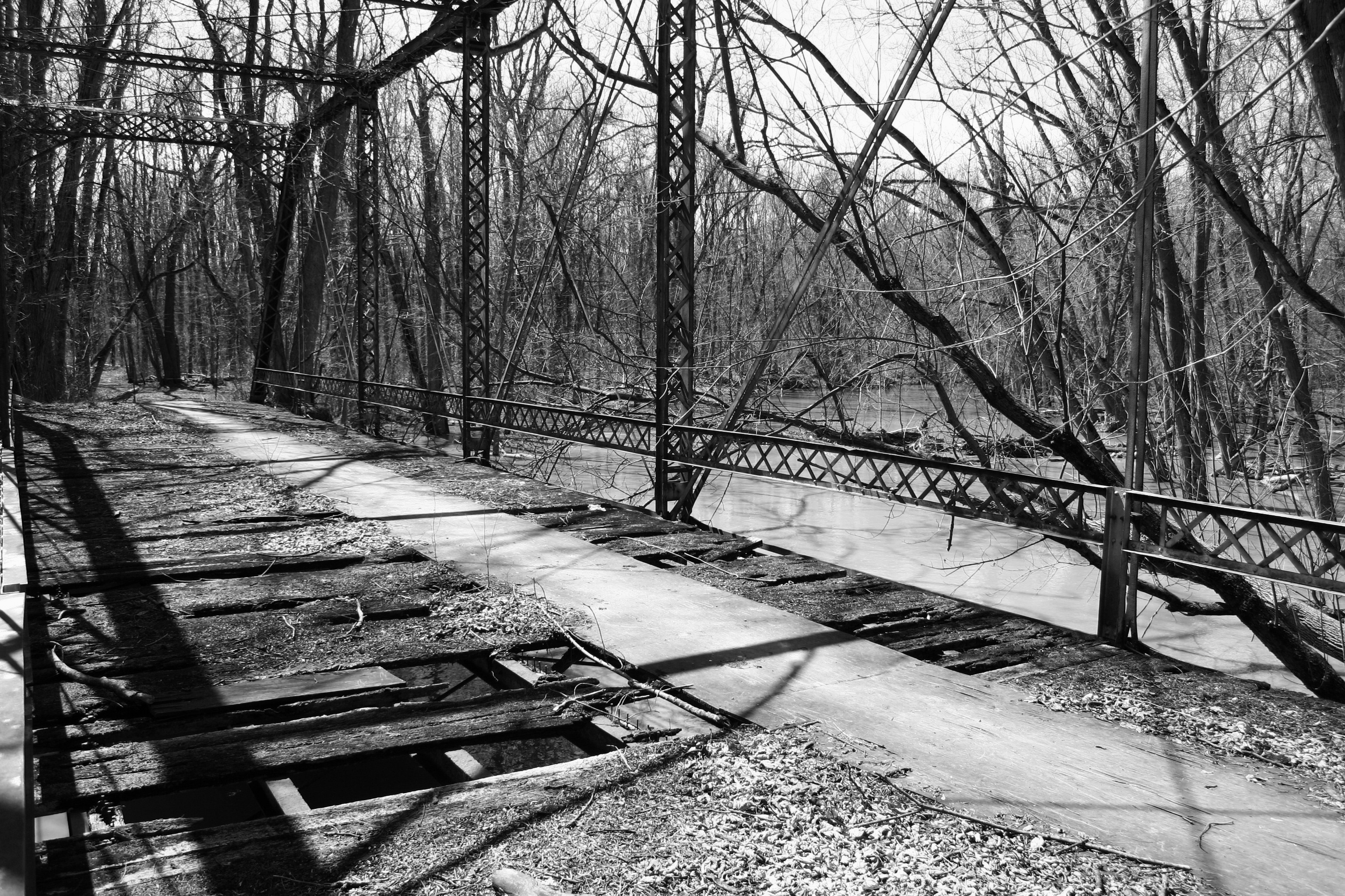
Turkey Foot Bridge
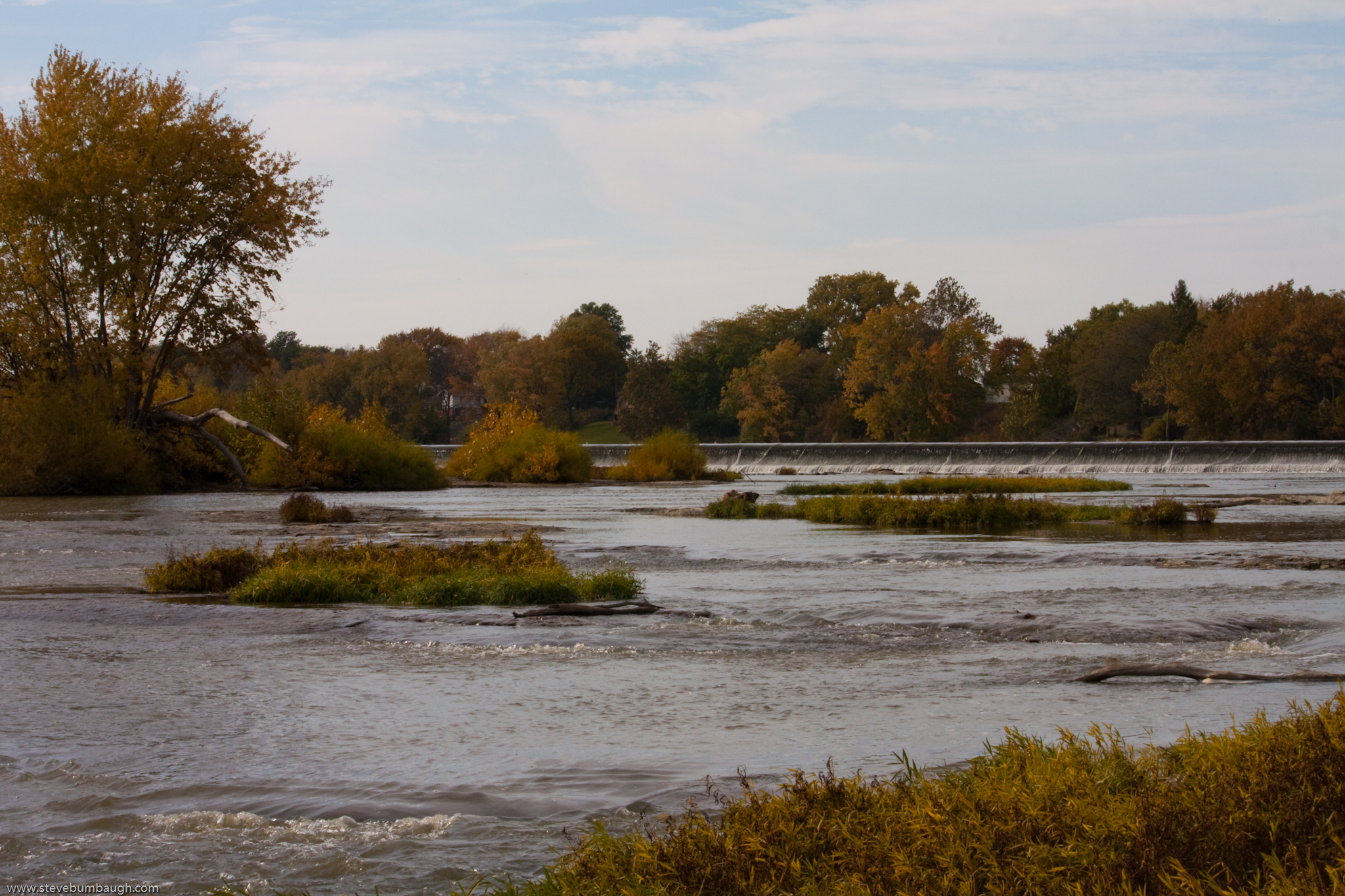
Providence Dam

Reflecting river #Night #grandrapids #Ohio

Sunset Flight
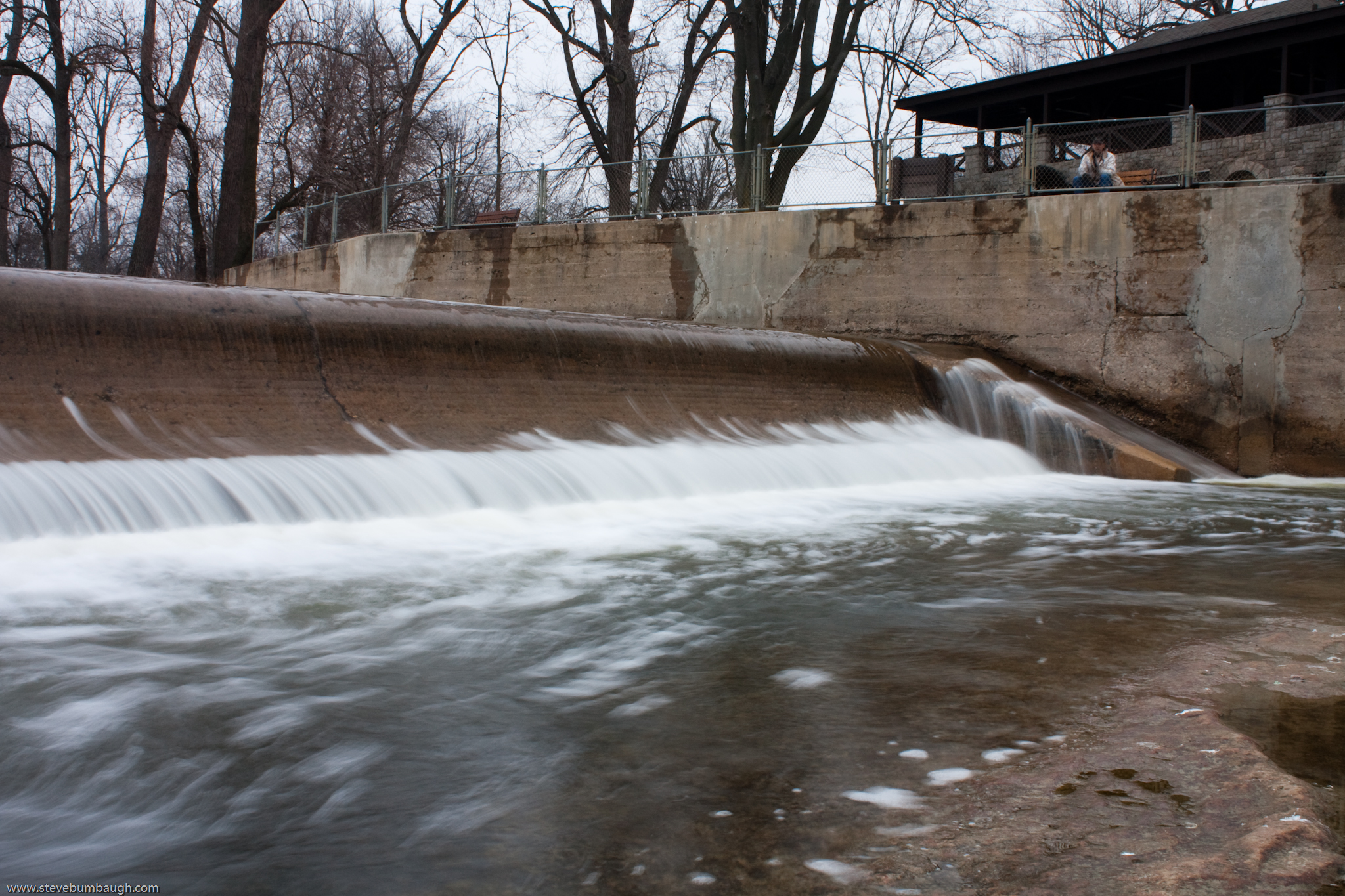
Below the Dam (HDR)

41° 24' 36.8" N 84° 1' 58.7" W0.0IMG_4607Apr 24, 201413:58:37

Rest day #Sunday #Landscape #Ohio

Rapids at Providence Dam

Gilead Side-Cut

Chilling in that beauty #rest #GrandRapids
Photographer's Assistants

Maumee River Sunset
Topographic Map of Liberty Center, OH, USA
Find elevation by address:

Places in Liberty Center, OH, USA:
Places near Liberty Center, OH, USA:
S Damascus St, Liberty Center, OH, USA
544 Township Rd 5b
Washington Township
Texas
V636 County Rd 4a
Henry County
Henry County Hospital
9111 Co Rd D
Henry County Airport
Mcclure
W North St, McClure, OH, USA
York Township
Rainbow Dr, Delta, OH, USA
600 Independence Dr
OH-, Delta, OH, USA
13414 County Rd S
N Turkey Foot Ave, Malinta, OH, USA
4702 Co Rd 12
Napoleon
Delta
Recent Searches:
- Elevation map of Litang County, Sichuan, China
- Elevation map of Madoi County, Qinghai, China
- Elevation of 3314, Ohio State Route 114, Payne, Paulding County, Ohio, 45880, USA
- Elevation of Sarahills Drive, Saratoga, Santa Clara County, California, 95070, USA
- Elevation of Town of Bombay, Franklin County, New York, USA
- Elevation of 9, Convent Lane, Center Moriches, Suffolk County, New York, 11934, USA
- Elevation of Saint Angelas Convent, 9, Convent Lane, Center Moriches, Suffolk County, New York, 11934, USA
- Elevation of 131st Street Southwest, Mukilteo, Snohomish County, Washington, 98275, USA
- Elevation of 304, Harrison Road, Naples, Cumberland County, Maine, 04055, USA
- Elevation of 2362, Timber Ridge Road, Harrisburg, Cabarrus County, North Carolina, 28075, USA
- Elevation of Ridge Road, Marshalltown, Marshall County, Iowa, 50158, USA
- Elevation of 2459, Misty Shadows Drive, Pigeon Forge, Sevier County, Tennessee, 37862, USA
- Elevation of 8043, Brightwater Way, Spring Hill, Williamson County, Tennessee, 37179, USA
- Elevation of Starkweather Road, San Luis, Costilla County, Colorado, 81152, USA
- Elevation of 5277, Woodside Drive, Baton Rouge, East Baton Rouge Parish, Louisiana, 70808, USA
- Elevation of 1139, Curtin Street, Shepherd Park Plaza, Houston, Harris County, Texas, 77018, USA
- Elevation of 136, Sellers Lane, Repton, Monroe County, Alabama, 36475, USA
- Elevation of 12914, Elmington Drive, Lakewood Forest, Houston, Harris County, Texas, 77429, USA
- Elevation of 417, Camelot Drive, Statesville, Iredell County, North Carolina, 28625, USA
- Elevation of 5792, Wildridge Road, Avon, Eagle County, Colorado, 81620, USA