Elevation of County Rd S, Napoleon, OH, USA
Location: United States > Ohio > Henry County > Freedom Township >
Longitude: -84.123098
Latitude: 41.4281038
Elevation: 208m / 682feet
Barometric Pressure: 99KPa
Elevation Map:
Satellite Map:
Related Photos:

NS_Delta-OH_B41_NS5186_091609-4
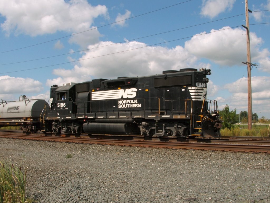
NS_Delta-OH_B41_NS5186_091609-3
Before we leave a Approach comes into view
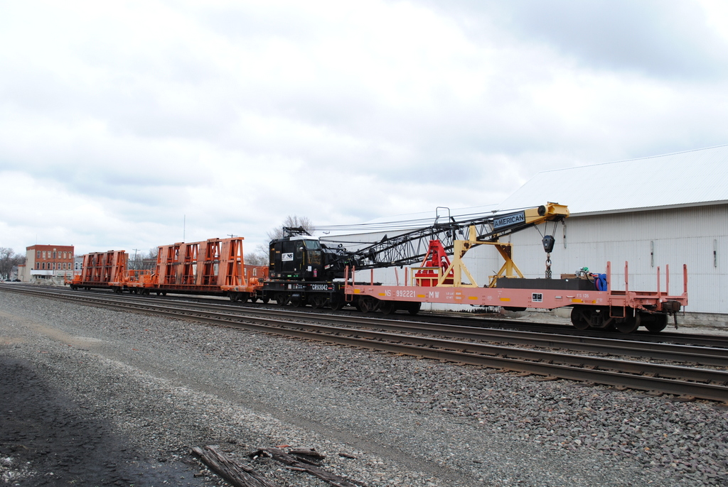
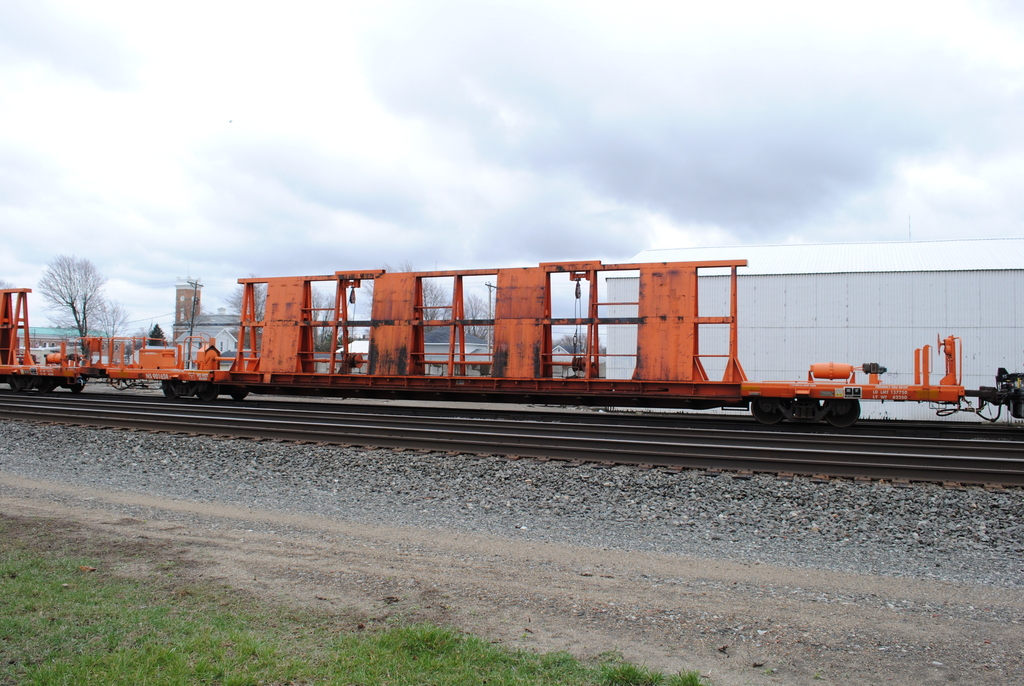
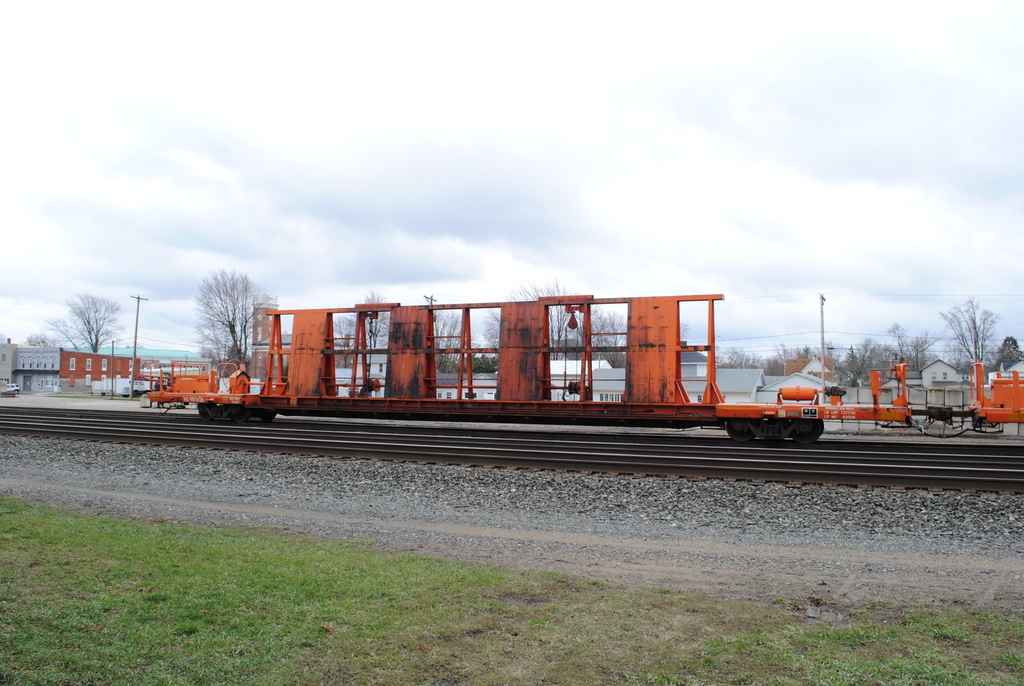
NS_Wauseon-OH_CP320_MOW-consist_041313-2
NS_Wauseon-OH_CP320_MOW-consist_041313-1
NS_Wauseon-OH_CP320_NS901624_041313-1
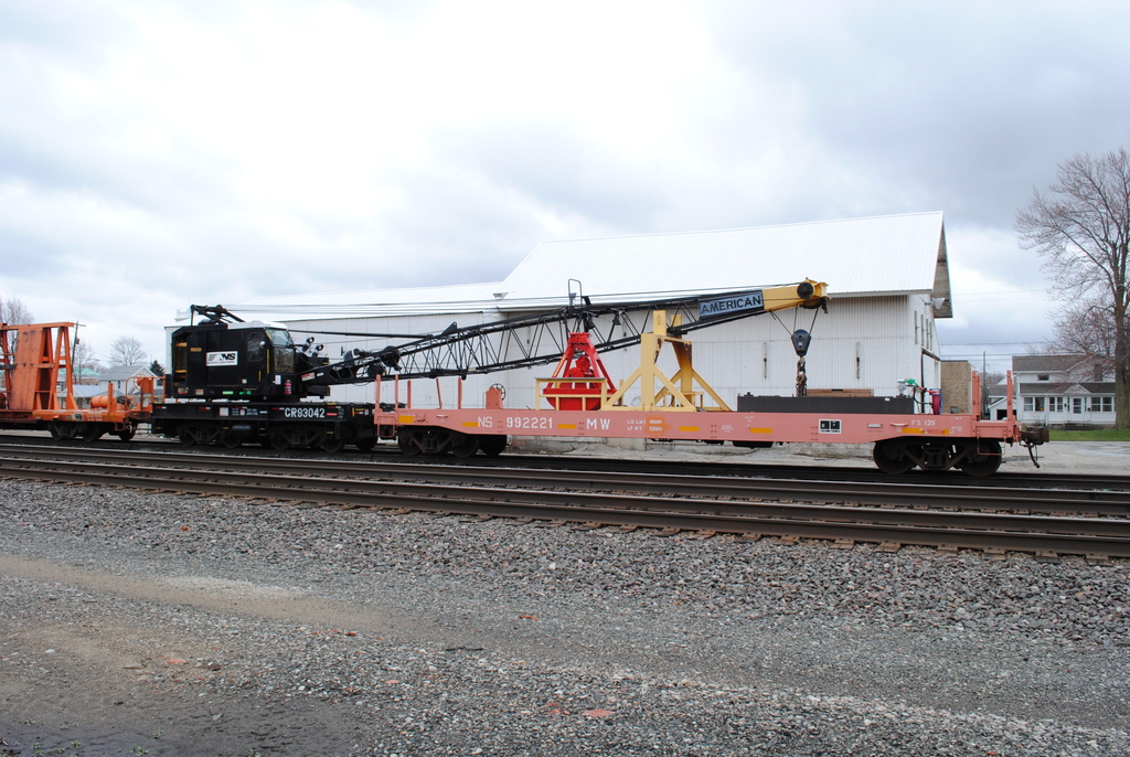
NS_Wauseon-OH_CP320_CR93402-NS922111_041313-1
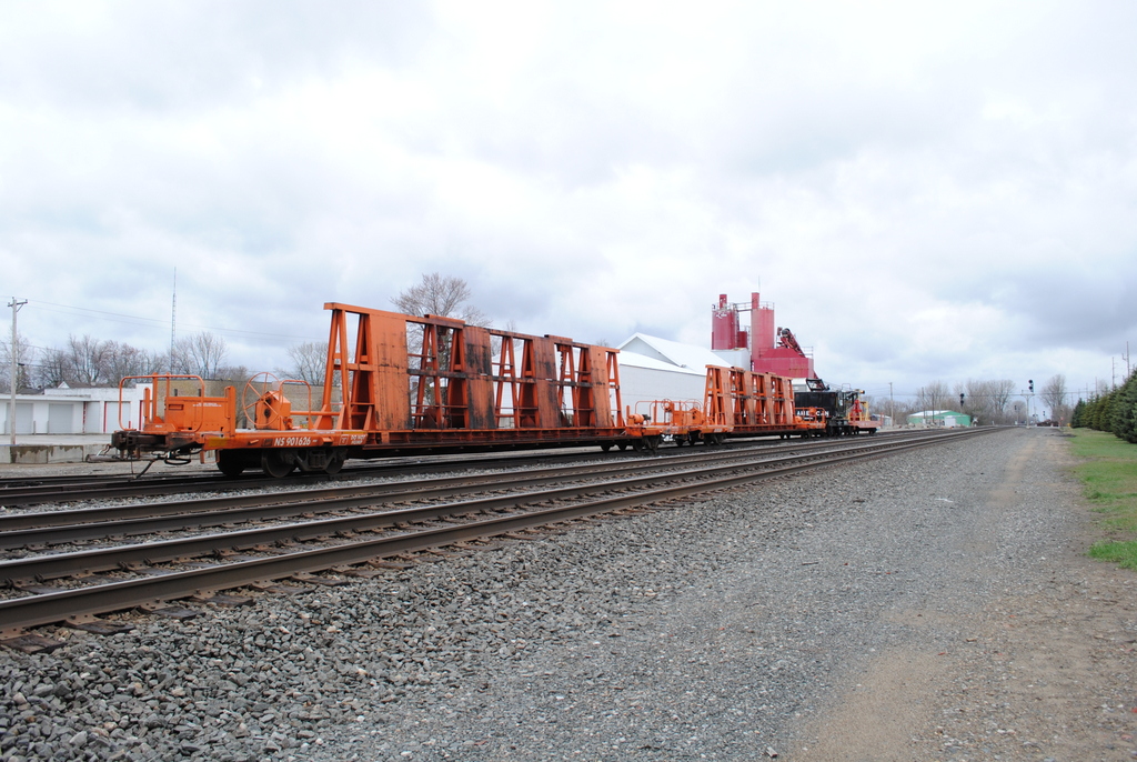
NS_Wauseon-OH_CP320_NS901626_041313-1

IORY LNLX - Liberty Center, Ohio
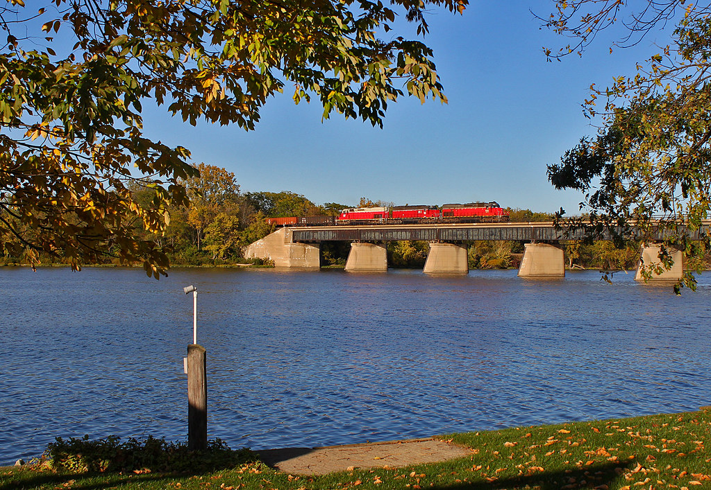
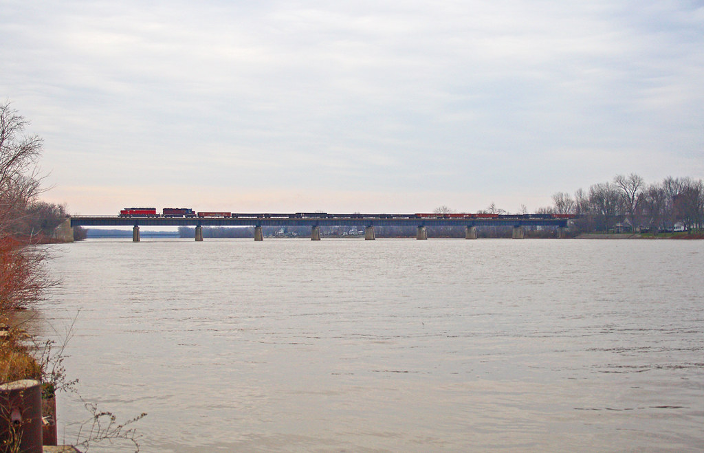
Over the Maumee
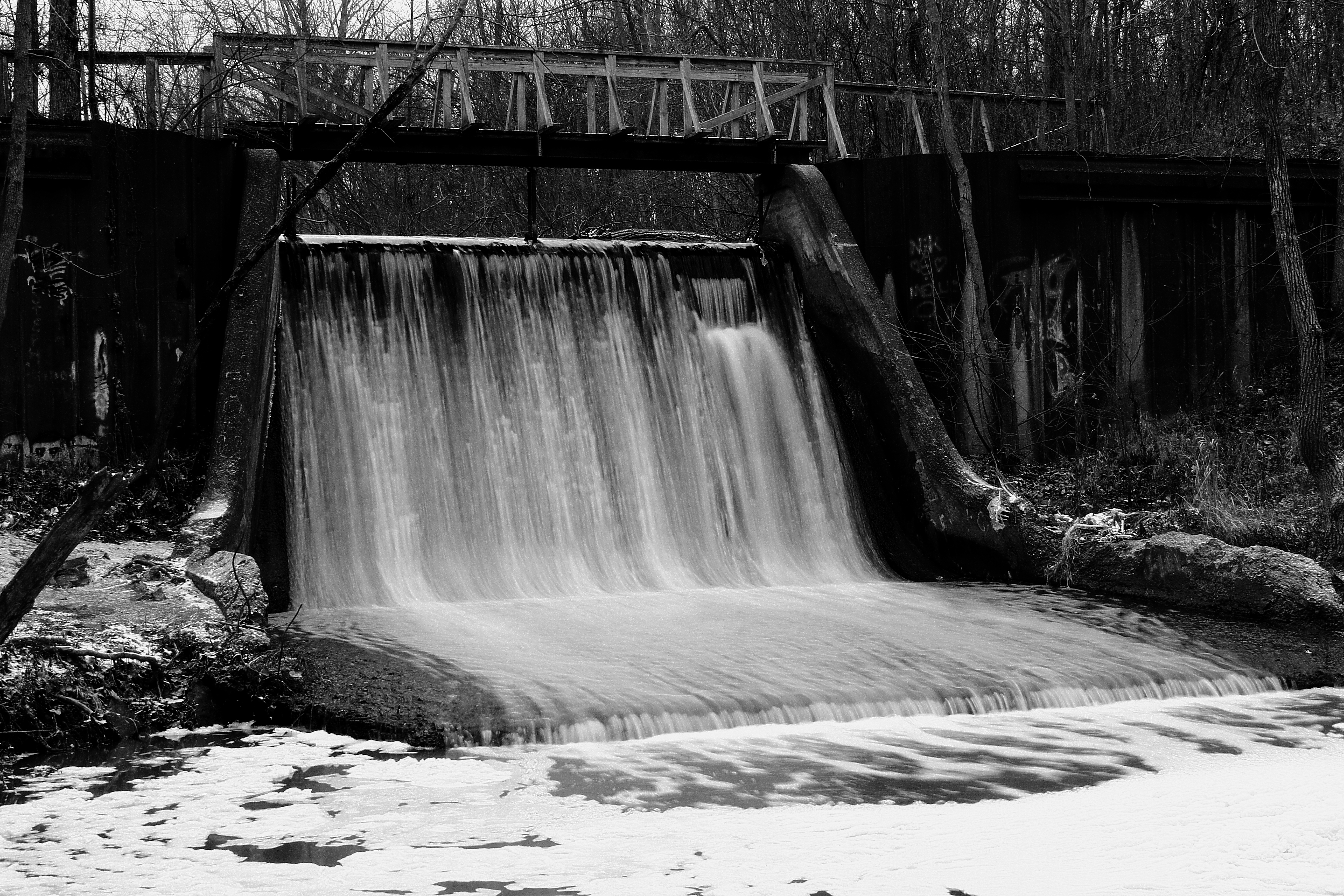
Canal Dam

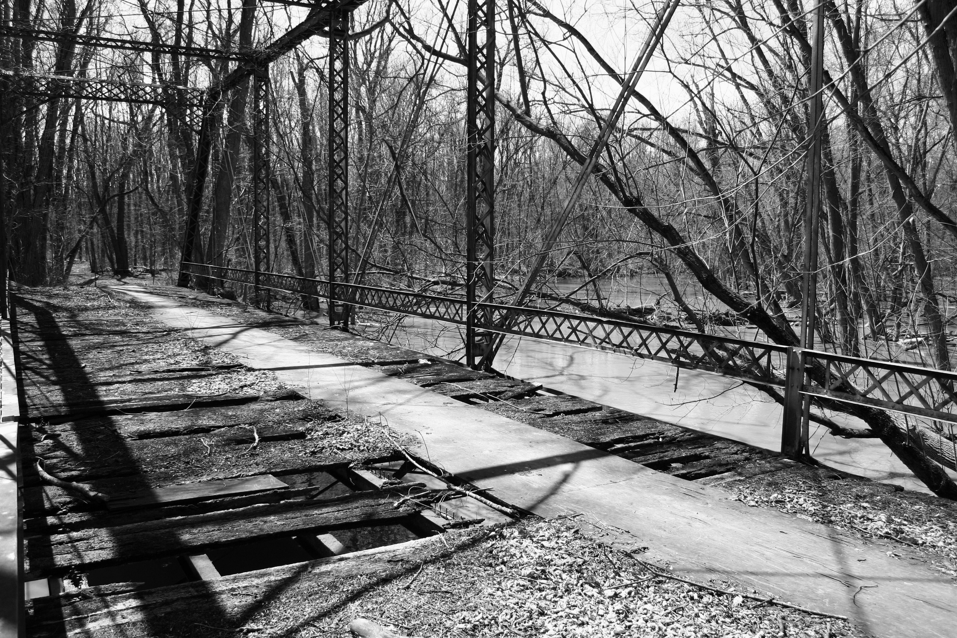
How Things Have Changed
A Little Further Down the Road...
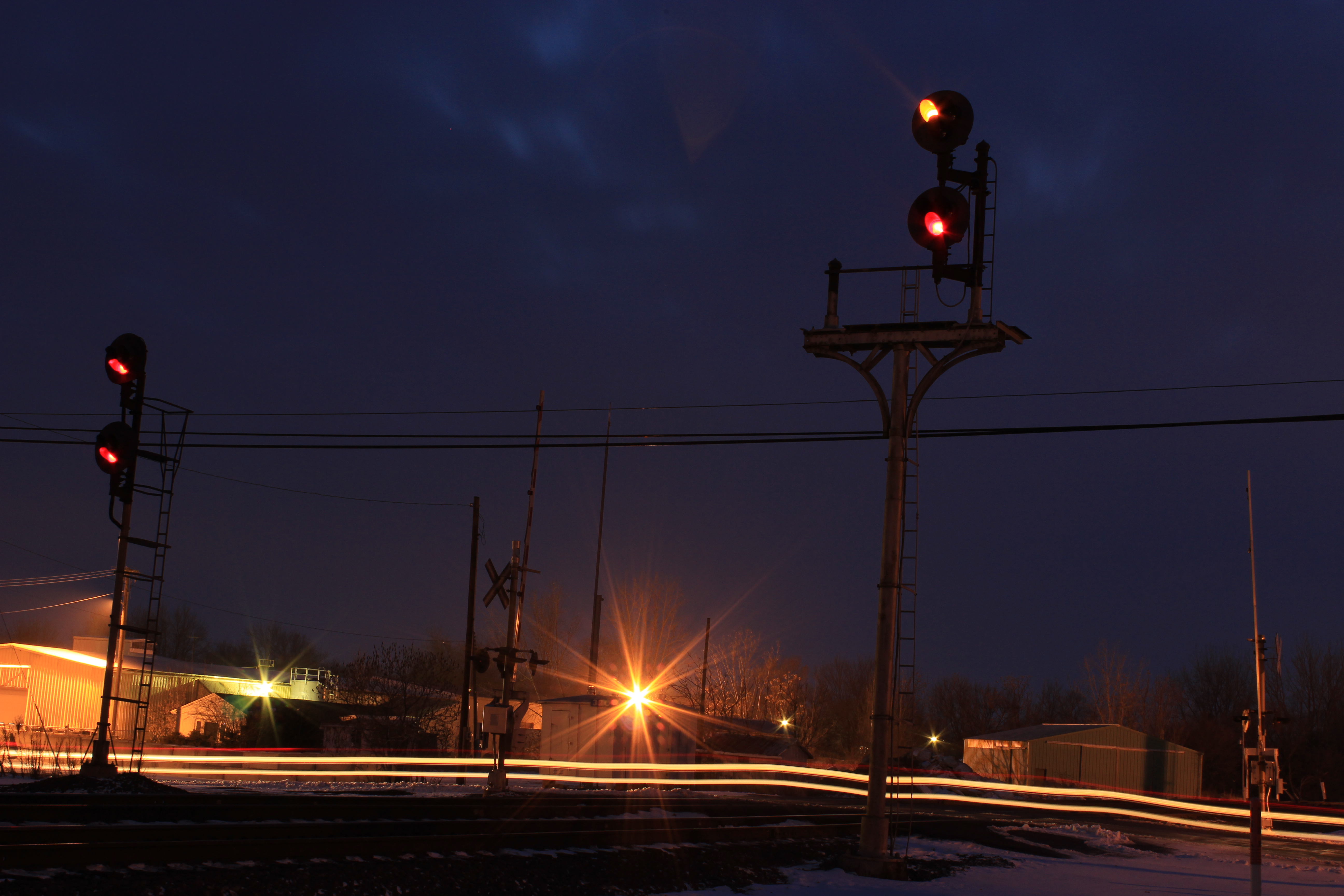
Christmas Eve Extra
Turkey Foot Bridge

41° 24' 36.8" N 84° 1' 58.7" W0.0IMG_4607Apr 24, 201413:58:37

TV Time Popcorn
41° 21' 23.6" N 84° 8' 42.7" W0.0IMG_4400Apr 23, 201413:46:29
IMG_1602.5
41° 25' 5.8" N 83° 58' 2.6" W0.0IMG_4682Apr 24, 201417:15:17

41° 25' 4.2" N 83° 58' 5.8" W0.0IMG_4677Apr 24, 201417:14:20
41° 25' 26.7" N 83° 57' 12.0" W0.0IMG_4689Apr 24, 201417:21:55
Napoleon-Napoleon Commerce Park Hogrefe (CORF)
41° 24' 48.5" N 83° 58' 26.0" W0.0IMG_4675Apr 24, 201417:10:13
41° 24' 39.1" N 84° 2' 17.7" W0.0IMG_4601Apr 24, 201413:51:39
41° 25' 4.9" N 83° 58' 4.3" W0.0IMG_4681Apr 24, 201417:14:57
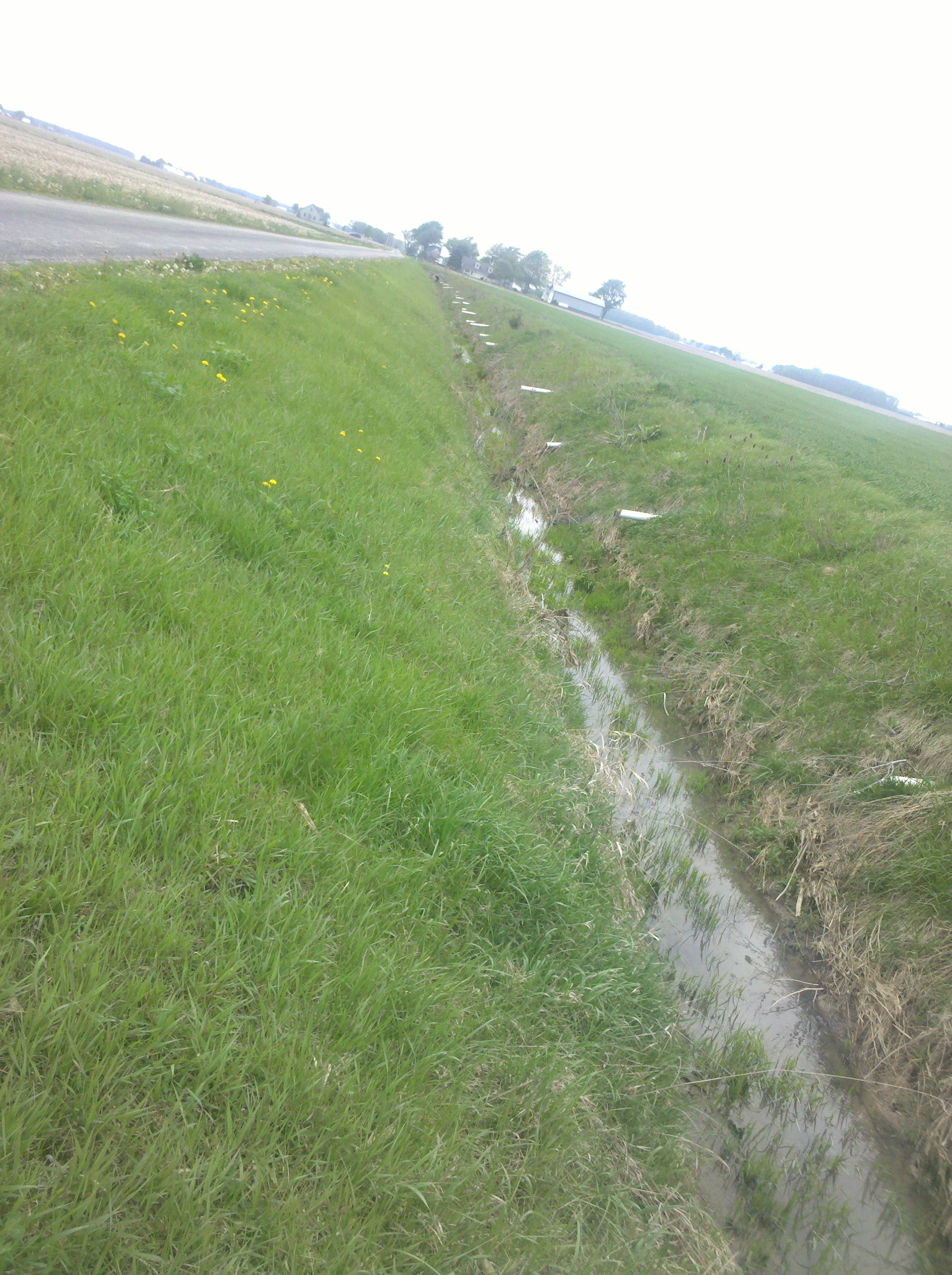
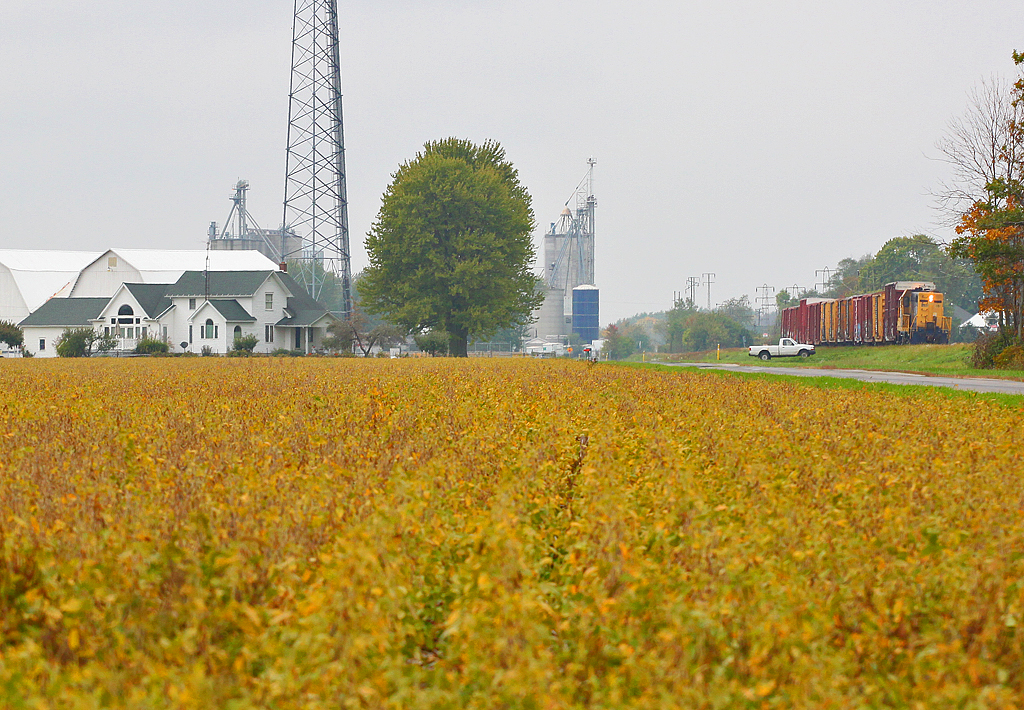
Draining the fields
Napoleon-Napoleon Commerce Park Hogrefe (CORF)

41° 25' 5.9" N 83° 58' 2.4" W0.0IMG_4683Apr 24, 201417:15:21
Topographic Map of County Rd S, Napoleon, OH, USA
Find elevation by address:

Places near County Rd S, Napoleon, OH, USA:
600 Independence Dr
Napoleon
Henry County Hospital
Co Rd U, Napoleon, OH, USA
County Rd W, Wauseon, OH, USA
Freedom Township
175 Wayne Park Dr
US-6, Napoleon, OH, USA
Henry County Airport
Fulton County Health Center
4702 Co Rd 12
S Damascus St, Liberty Center, OH, USA
Liberty Center
N-084
Flatrock Township
Henry County
9111 Co Rd D
W High St, Napoleon, OH, USA
Florida
Ridgeville Corners
Recent Searches:
- Elevation of Corso Fratelli Cairoli, 35, Macerata MC, Italy
- Elevation of Tallevast Rd, Sarasota, FL, USA
- Elevation of 4th St E, Sonoma, CA, USA
- Elevation of Black Hollow Rd, Pennsdale, PA, USA
- Elevation of Oakland Ave, Williamsport, PA, USA
- Elevation of Pedrógão Grande, Portugal
- Elevation of Klee Dr, Martinsburg, WV, USA
- Elevation of Via Roma, Pieranica CR, Italy
- Elevation of Tavkvetili Mountain, Georgia
- Elevation of Hartfords Bluff Cir, Mt Pleasant, SC, USA