Elevation of Stevens Rd, Defiance, OH, USA
Location: United States > Ohio > Defiance County > Noble Township > Defiance >
Longitude: -84.262288
Latitude: 41.288292
Elevation: 213m / 699feet
Barometric Pressure: 99KPa
Elevation Map:
Satellite Map:
Related Photos:
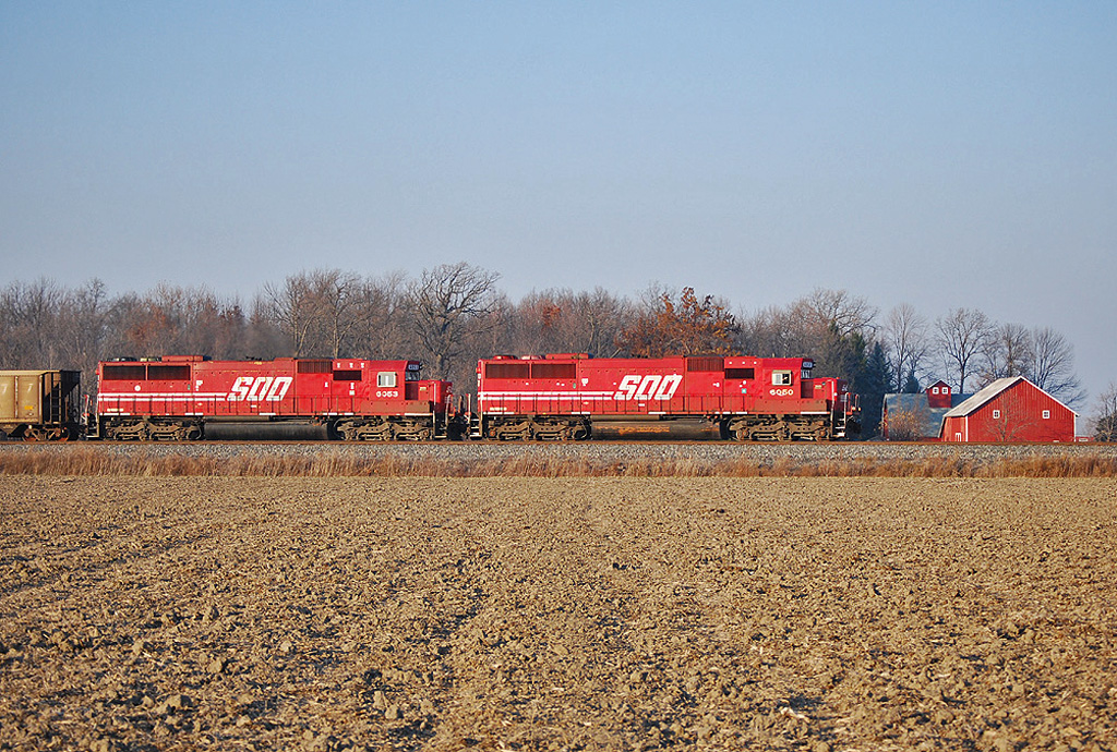
Soo Gone

Q324 at Hire Cemetery

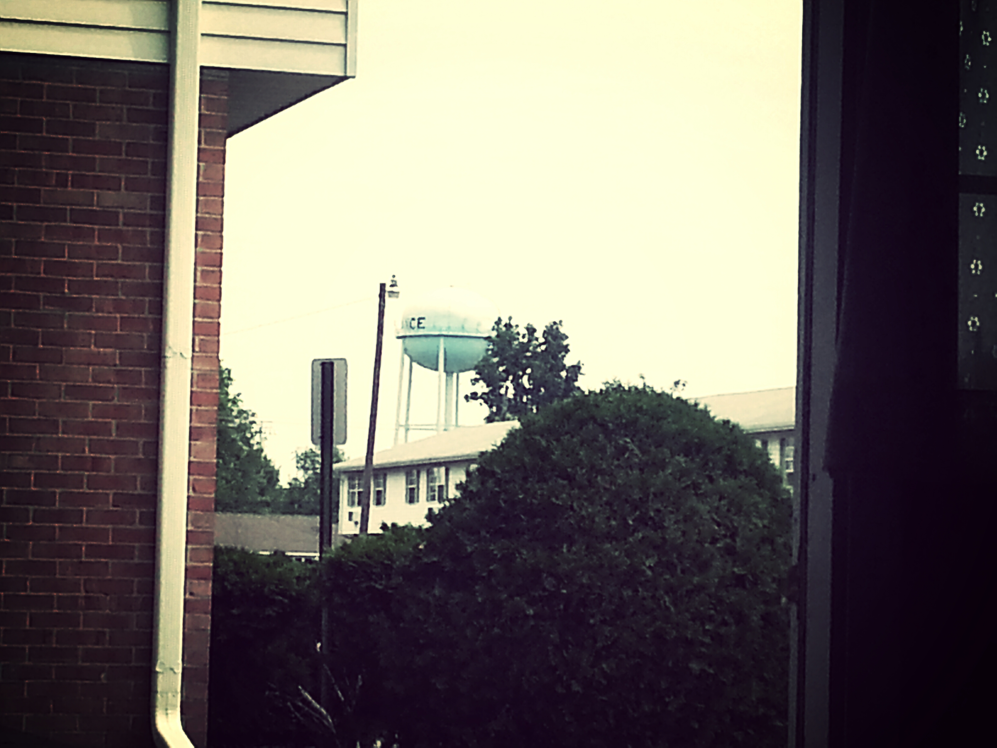
the view from my window
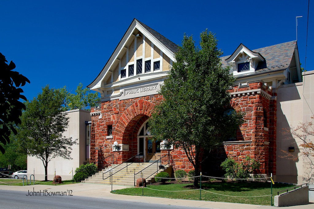
Public Library - Defiance

Day 238 - Walking Rags
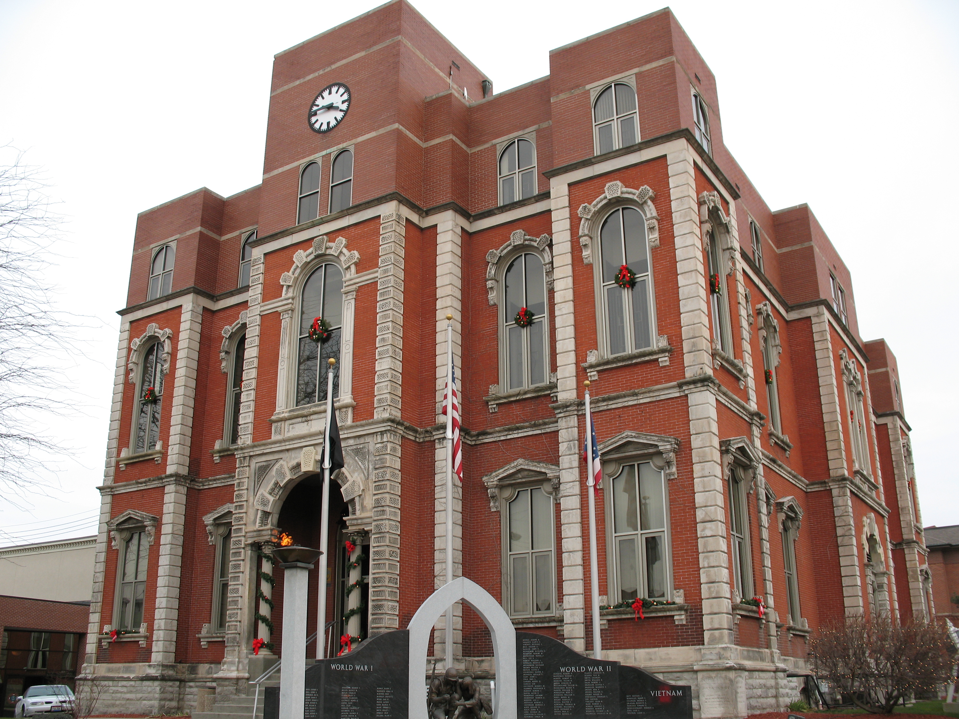
Defiance County Courthouse (Ohio)
View from the laundry

Another view of the mechanical lift.

Rarely used "study carrel" monstrosity taken apart
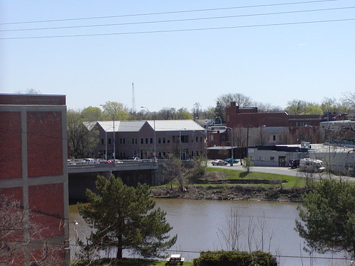
05-03-2006 Defiance Ohio view

Coffee Shop Moved
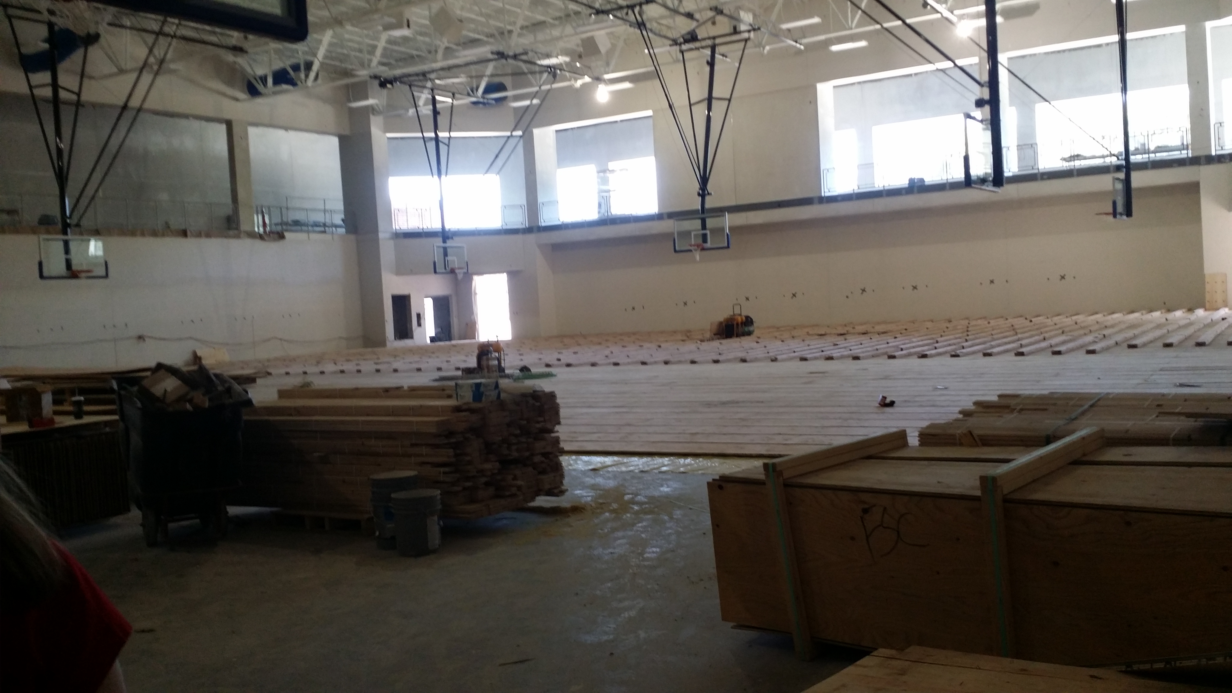
Another view of the Gym
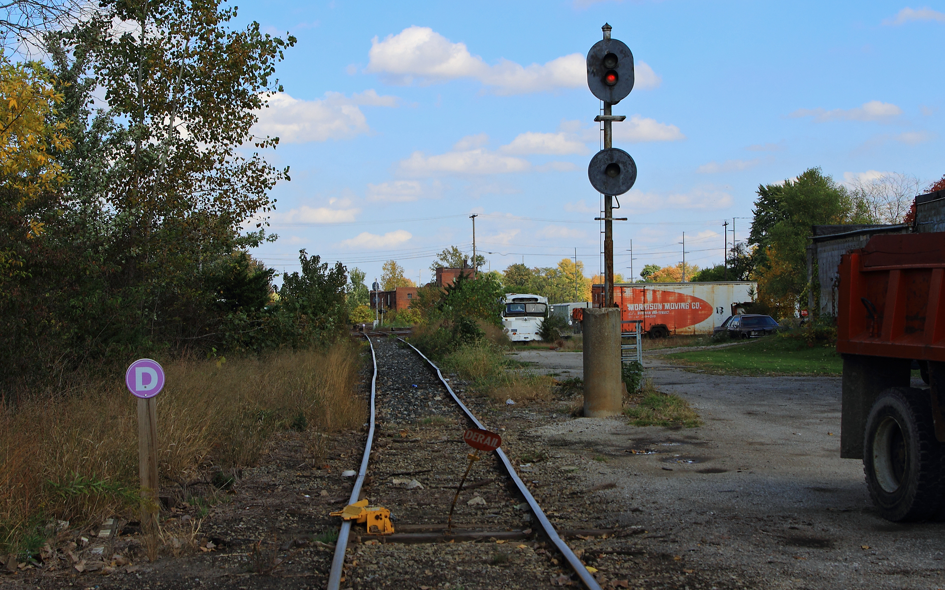
ND&W-CSX diamonds at Defiance

Excellent view
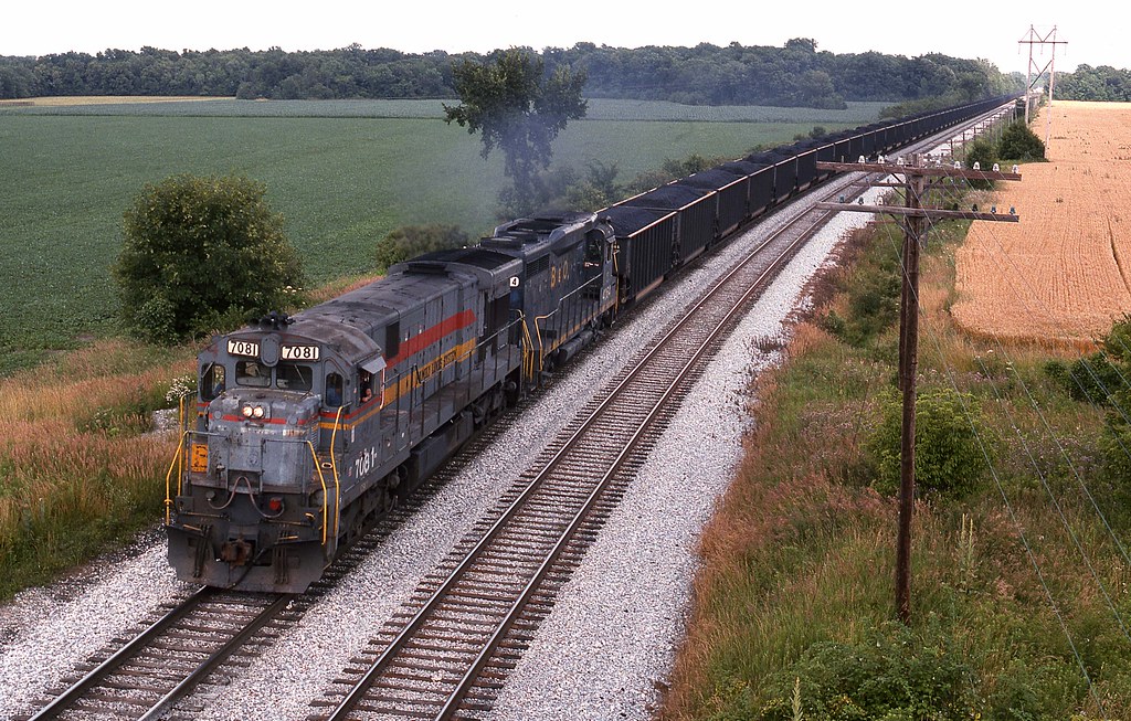
CSX #7081 Defiance, Ohio
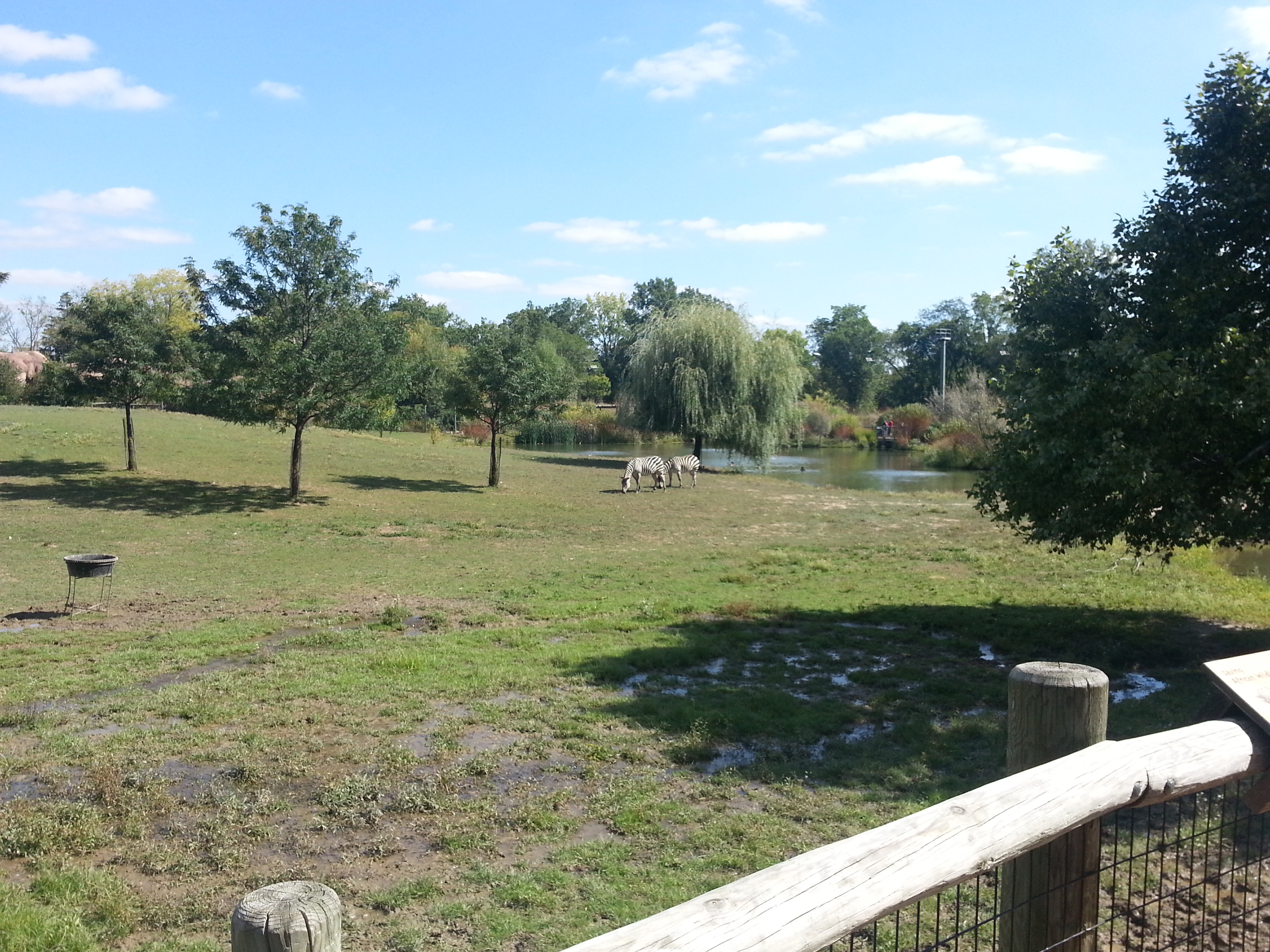
Harlow at the zoo
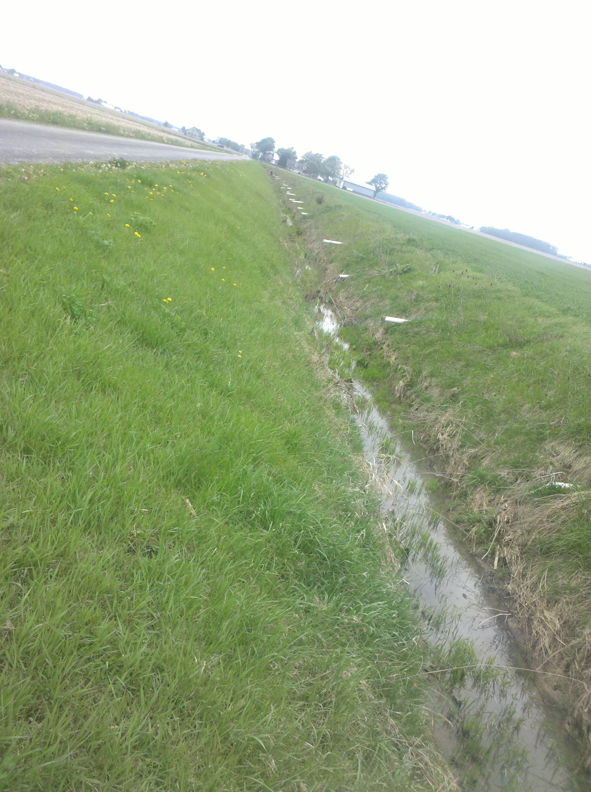
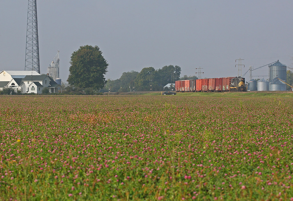
Draining the fields

I am exploring my relationship to the #landscape
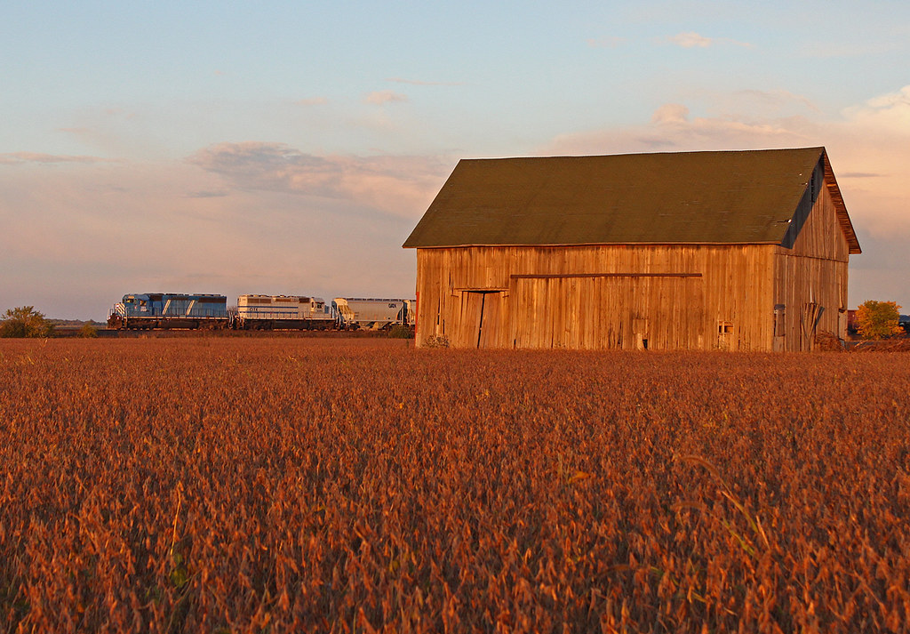
Leasers at the Holgate Barn
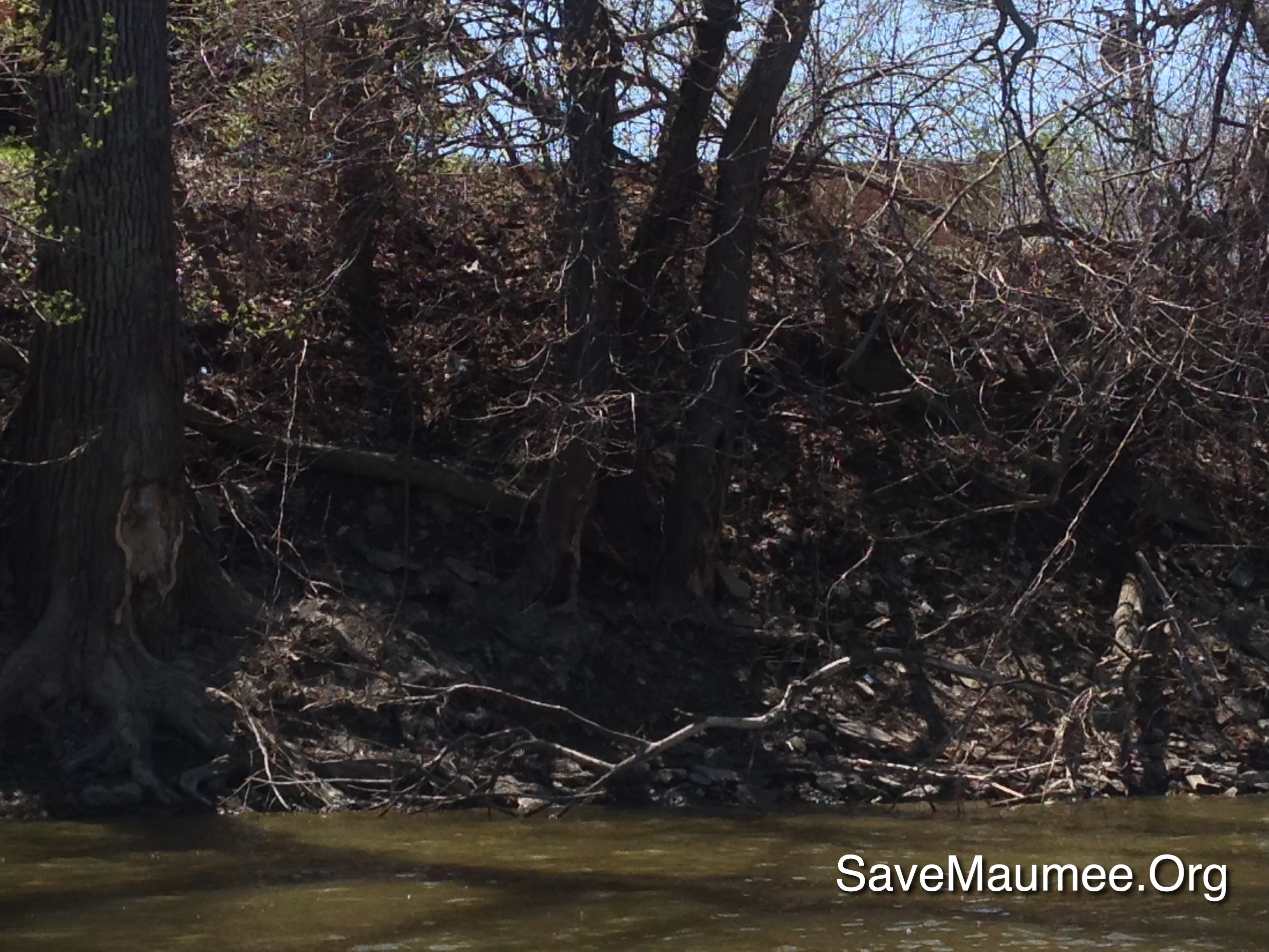
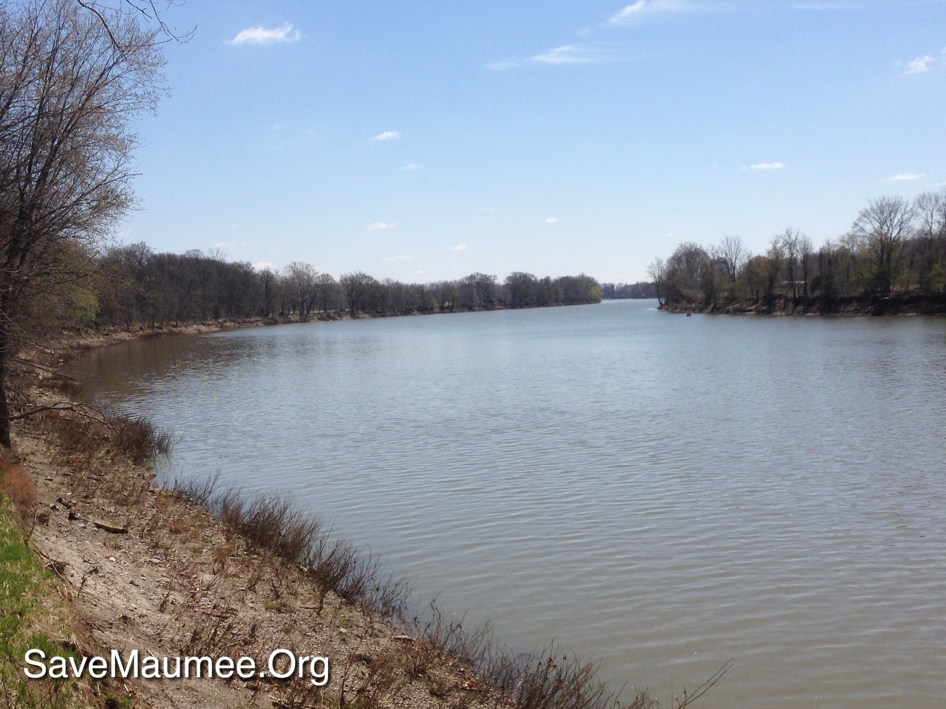
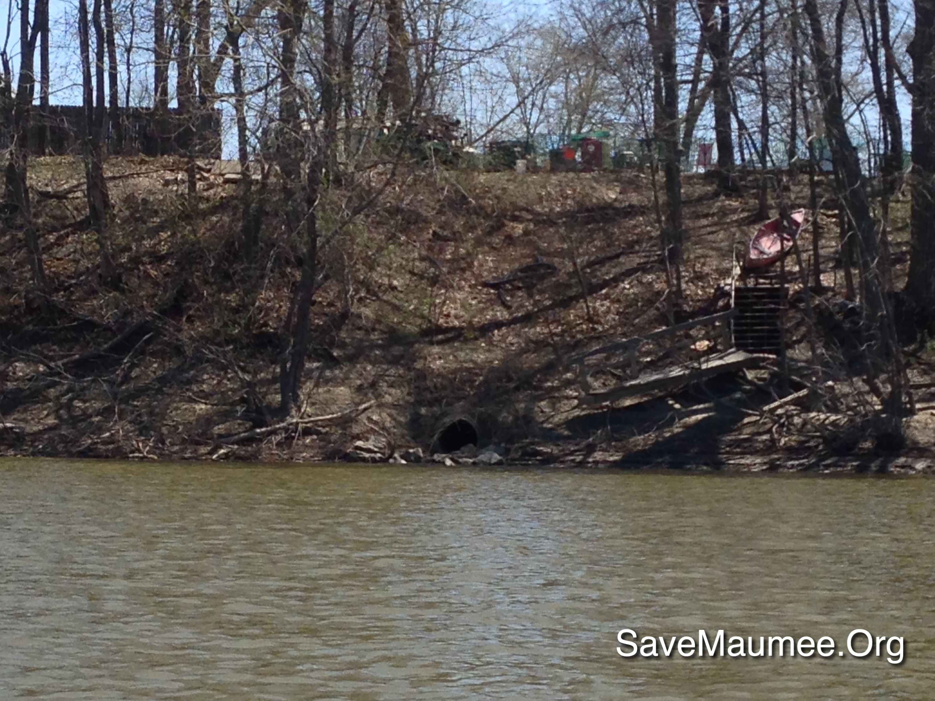
MAW on the Muddy Maumee
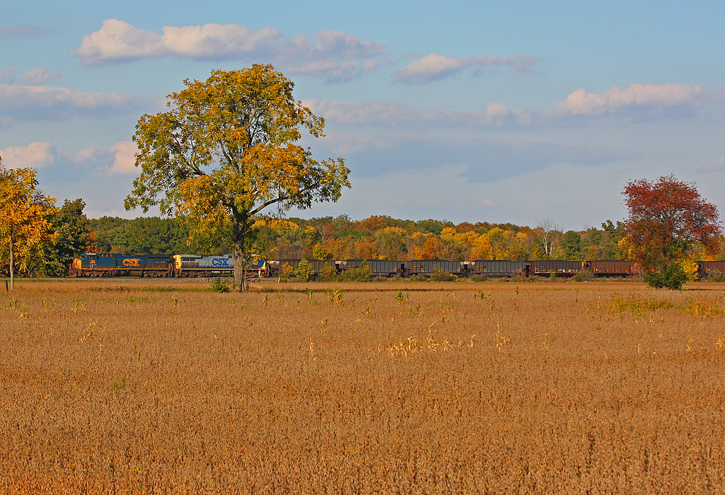
Fall Is Here
How Things Have Changed
41° 17' 20.1" N 84° 21' 46.4" W0.0IMG_434613:54:04Apr 22, 2014
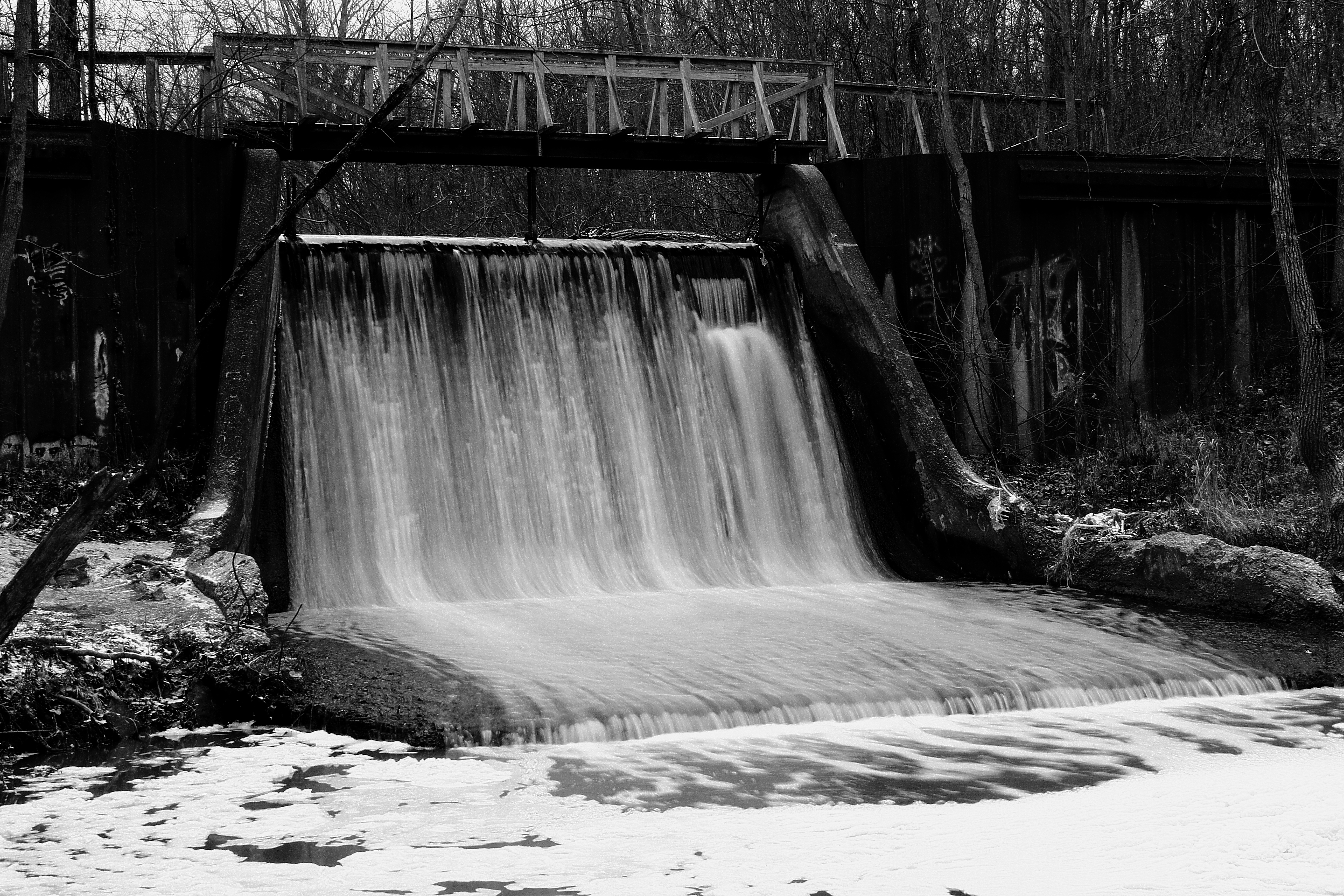
Canal Dam
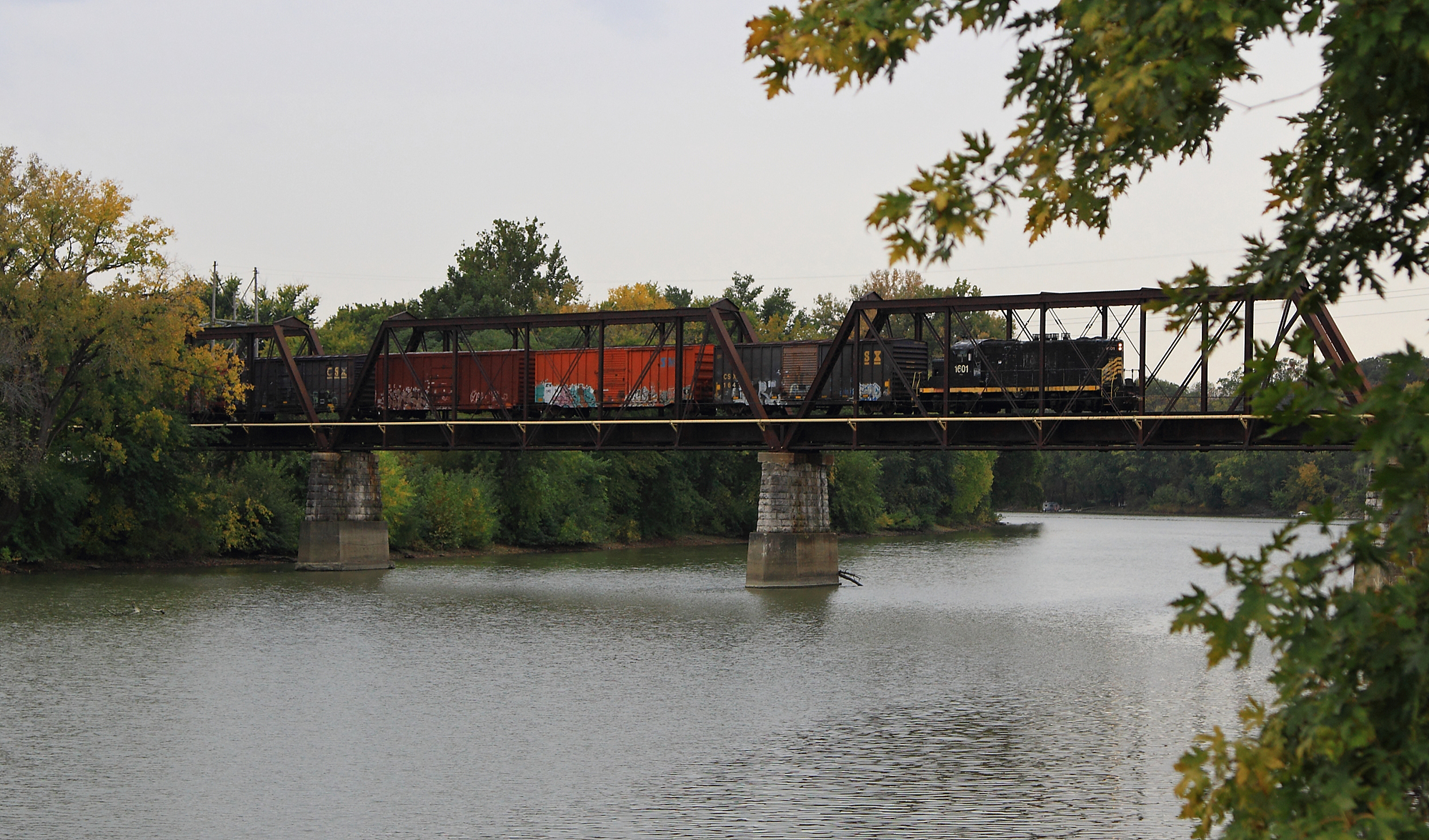
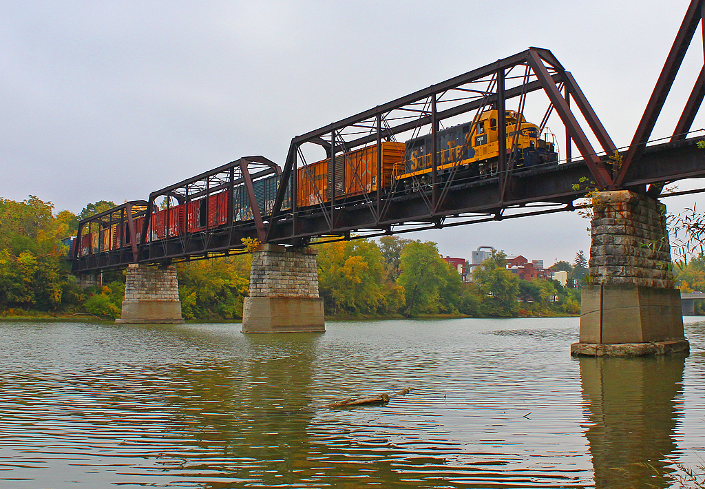
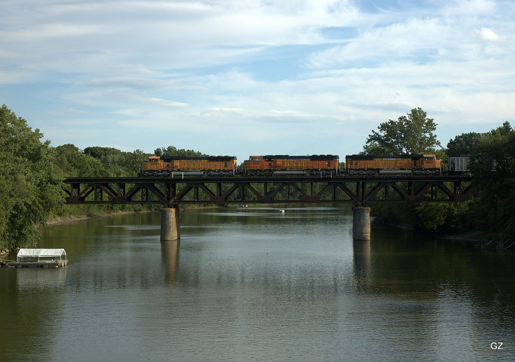
ND&W Maumee River Bridge
41° 16' 54.6" N 84° 23' 51.1" W0.0IMG_428013:09:22Apr 22, 2014
Map test
41° 16' 54.7" N 84° 23' 51.0" W0.0IMG_428113:09:26Apr 22, 2014
41° 21' 23.6" N 84° 8' 42.7" W0.0IMG_4400Apr 23, 201413:46:29
Auglaize River - Defiance
41° 16' 50.9" N 84° 22' 44.8" W0.0IMG_431513:33:36Apr 22, 2014

Harlow at the zoo
41° 16' 52.0" N 84° 26' 40.5" W0.0IMG_424416:38:44Apr 23, 2014
41° 17' 2.4" N 84° 22' 32.9" W0.0IMG_431813:38:07Apr 22, 2014
Topographic Map of Stevens Rd, Defiance, OH, USA
Find elevation by address:

Places near Stevens Rd, Defiance, OH, USA:
Richland Township
Independence Dam State Park
Jewell Rd, Defiance, OH, USA
Florida
W High St, Napoleon, OH, USA
N-084
Defiance
Flatrock Township
Westfield Avenue
Walnut St, New Bavaria, OH, USA
Co Rd B, New Bavaria, OH, USA
175 Wayne Park Dr
US-6, Napoleon, OH, USA
Rd B-18-2, Continental, OH, USA
Ridgeville Corners
Monroe Township
Napoleon
Continental
N Main St, Continental, OH, USA
Co Rd U, Napoleon, OH, USA
Recent Searches:
- Elevation of Corso Fratelli Cairoli, 35, Macerata MC, Italy
- Elevation of Tallevast Rd, Sarasota, FL, USA
- Elevation of 4th St E, Sonoma, CA, USA
- Elevation of Black Hollow Rd, Pennsdale, PA, USA
- Elevation of Oakland Ave, Williamsport, PA, USA
- Elevation of Pedrógão Grande, Portugal
- Elevation of Klee Dr, Martinsburg, WV, USA
- Elevation of Via Roma, Pieranica CR, Italy
- Elevation of Tavkvetili Mountain, Georgia
- Elevation of Hartfords Bluff Cir, Mt Pleasant, SC, USA