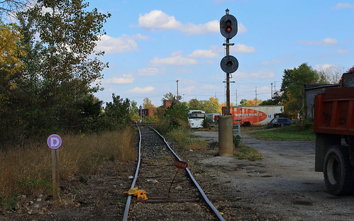
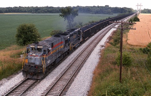
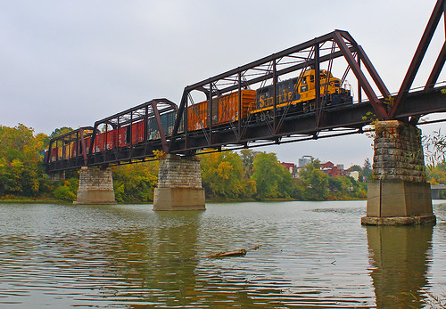
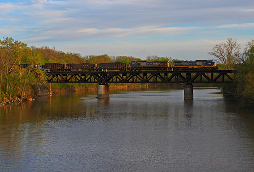
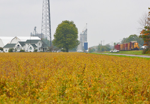
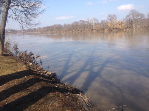
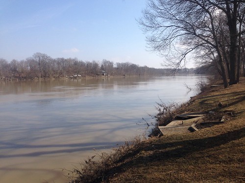
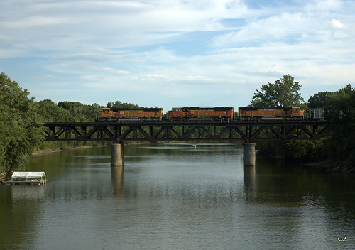
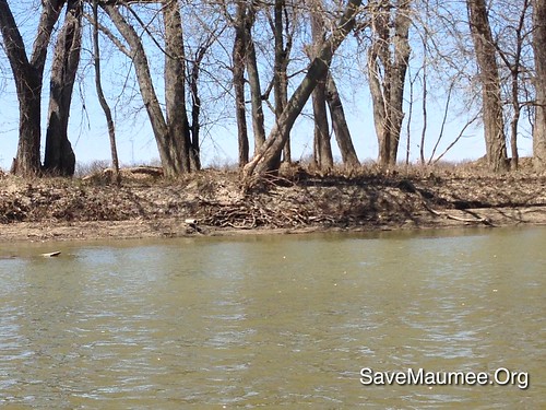
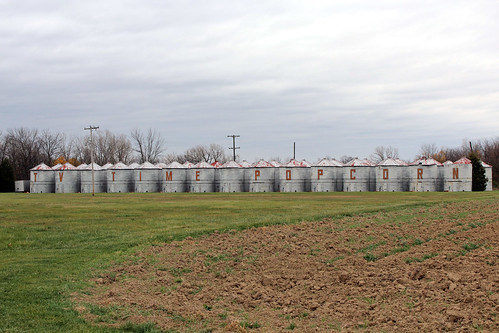
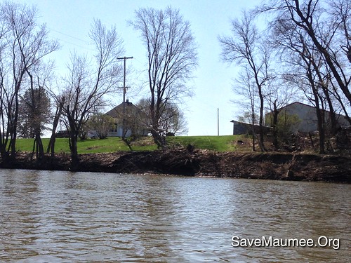
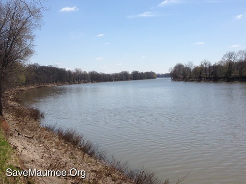
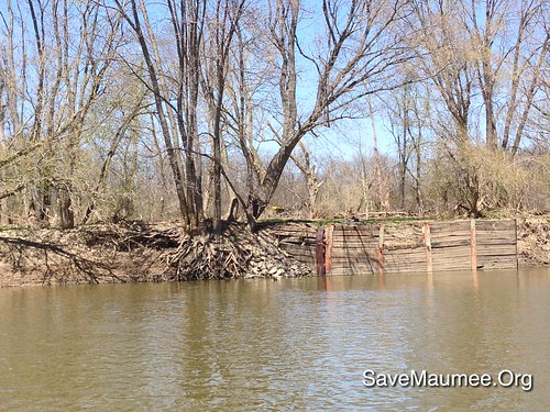
Elevation of Independence Dam State Park, County Rd, Defiance, OH, USA
Location: United States > Ohio > Defiance County > Noble Township > Defiance >
Longitude: -84.291715
Latitude: 41.2949183
Elevation: 203m / 666feet
Barometric Pressure: 99KPa
Related Photos:
Topographic Map of Independence Dam State Park, County Rd, Defiance, OH, USA
Find elevation by address:

Places near Independence Dam State Park, County Rd, Defiance, OH, USA:
Richland Township
10567 Stevens Rd
Jewell Rd, Defiance, OH, USA
Defiance
Westfield Avenue
Florida
W High St, Napoleon, OH, USA
N-084
Flatrock Township
Ridgeville Corners
Co Rd B, New Bavaria, OH, USA
Walnut St, New Bavaria, OH, USA
175 Wayne Park Dr
US-6, Napoleon, OH, USA
Rd B-18-2, Continental, OH, USA
Monroe Township
24405 County Rd W
Napoleon
Continental
N Main St, Continental, OH, USA
Recent Searches:
- Elevation of Corso Fratelli Cairoli, 35, Macerata MC, Italy
- Elevation of Tallevast Rd, Sarasota, FL, USA
- Elevation of 4th St E, Sonoma, CA, USA
- Elevation of Black Hollow Rd, Pennsdale, PA, USA
- Elevation of Oakland Ave, Williamsport, PA, USA
- Elevation of Pedrógão Grande, Portugal
- Elevation of Klee Dr, Martinsburg, WV, USA
- Elevation of Via Roma, Pieranica CR, Italy
- Elevation of Tavkvetili Mountain, Georgia
- Elevation of Hartfords Bluff Cir, Mt Pleasant, SC, USA
