Elevation of US-34, Orchard, CO, USA
Location: United States > Colorado > Weld County > Orchard >
Longitude: -104.25831
Latitude: 40.2911067
Elevation: 1373m / 4505feet
Barometric Pressure: 86KPa
Elevation Map:
Satellite Map:
Related Photos:

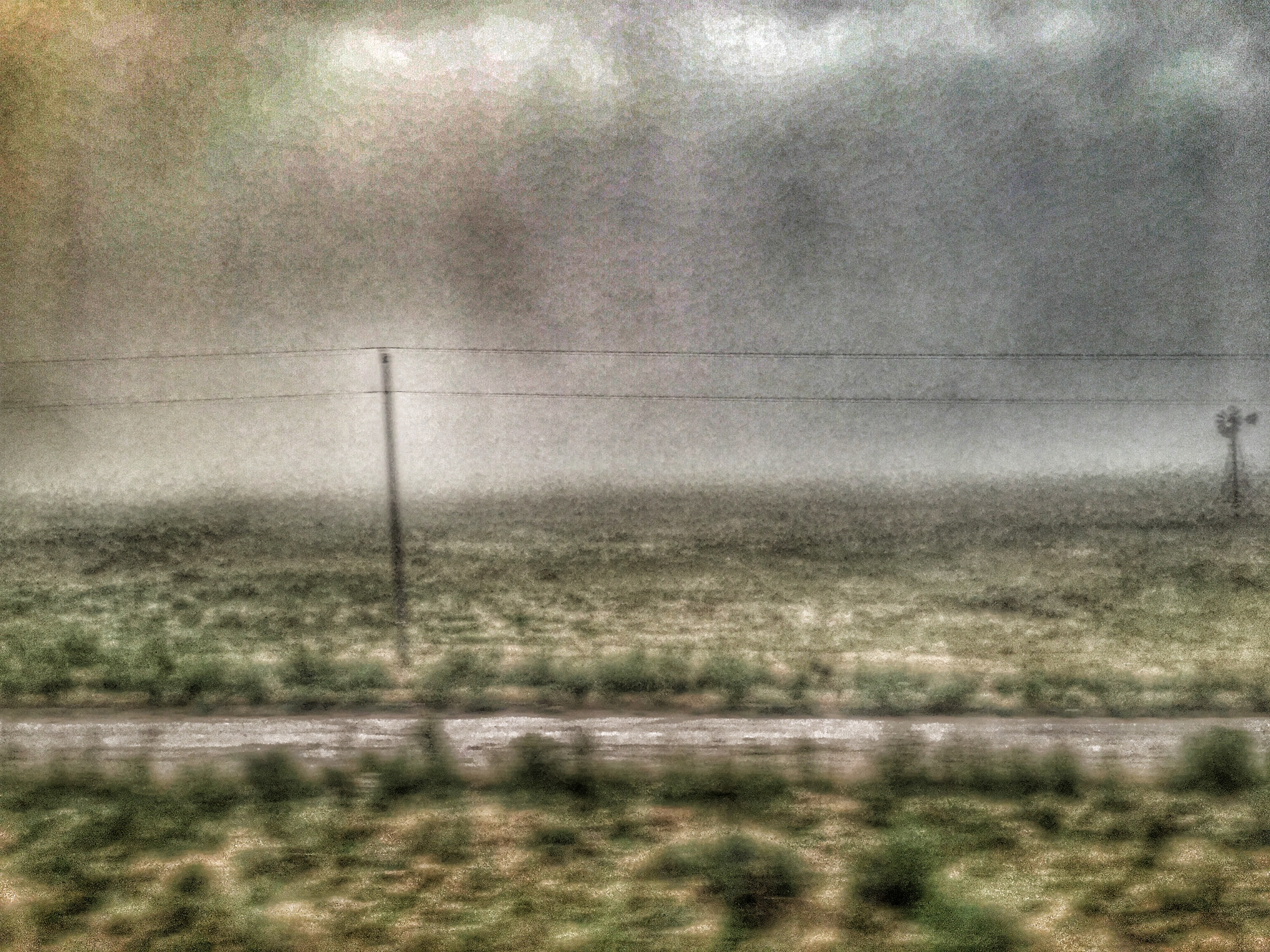
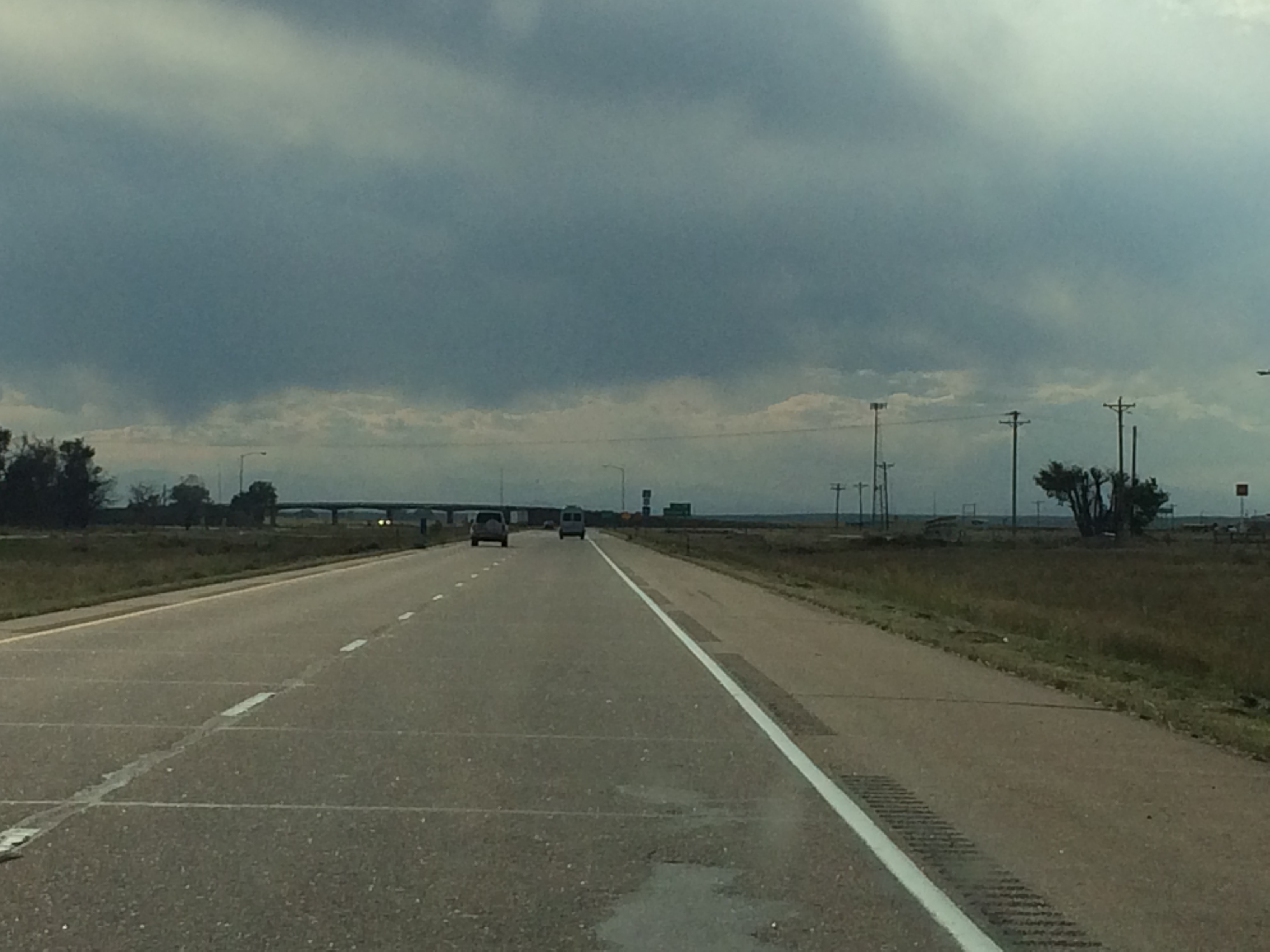
Country Spring Storm
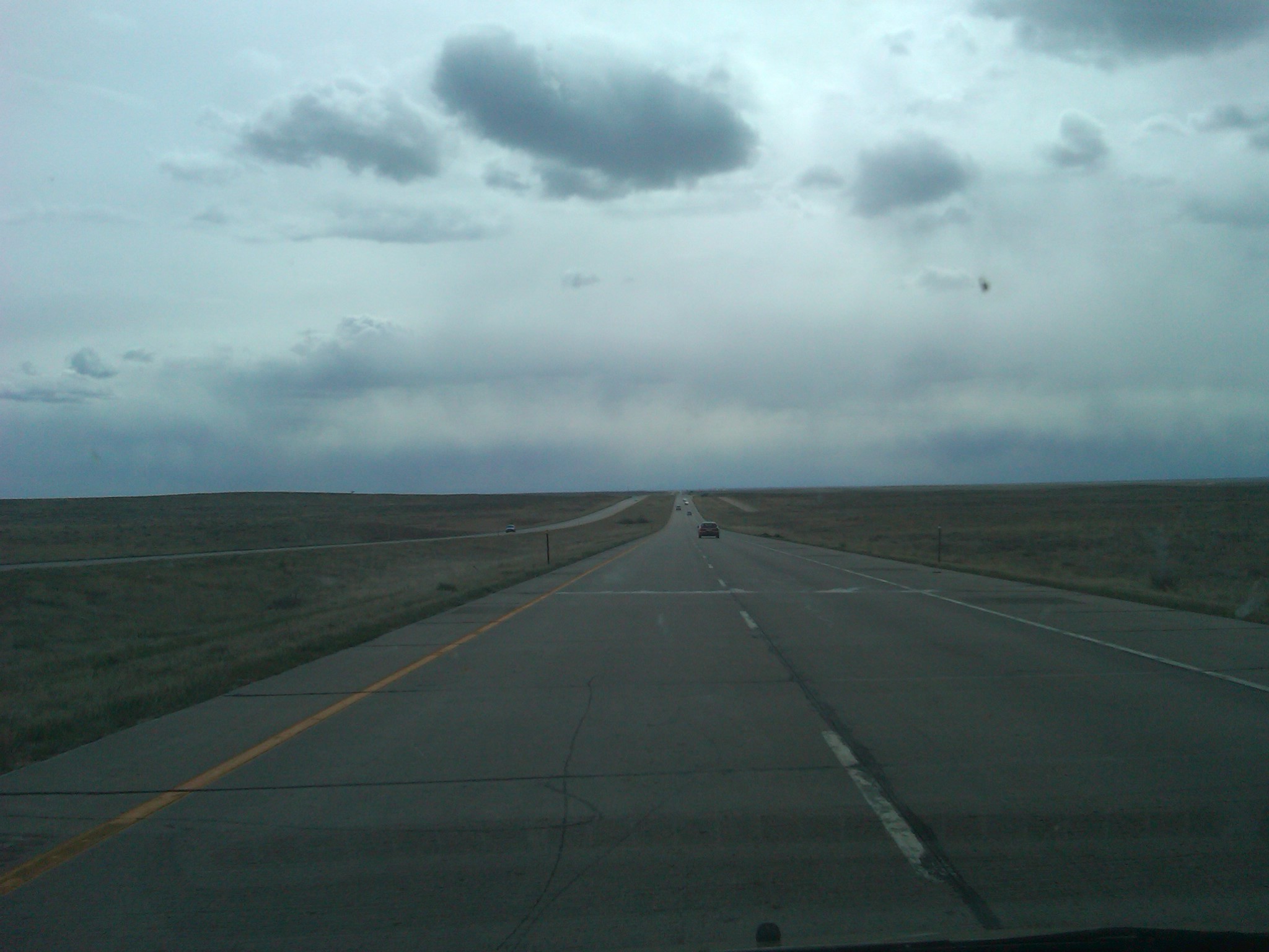
IMG00229-20110501-1701
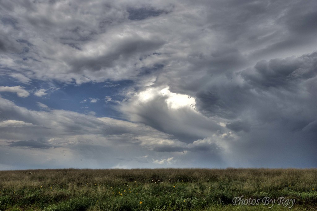
Wicked Clouds

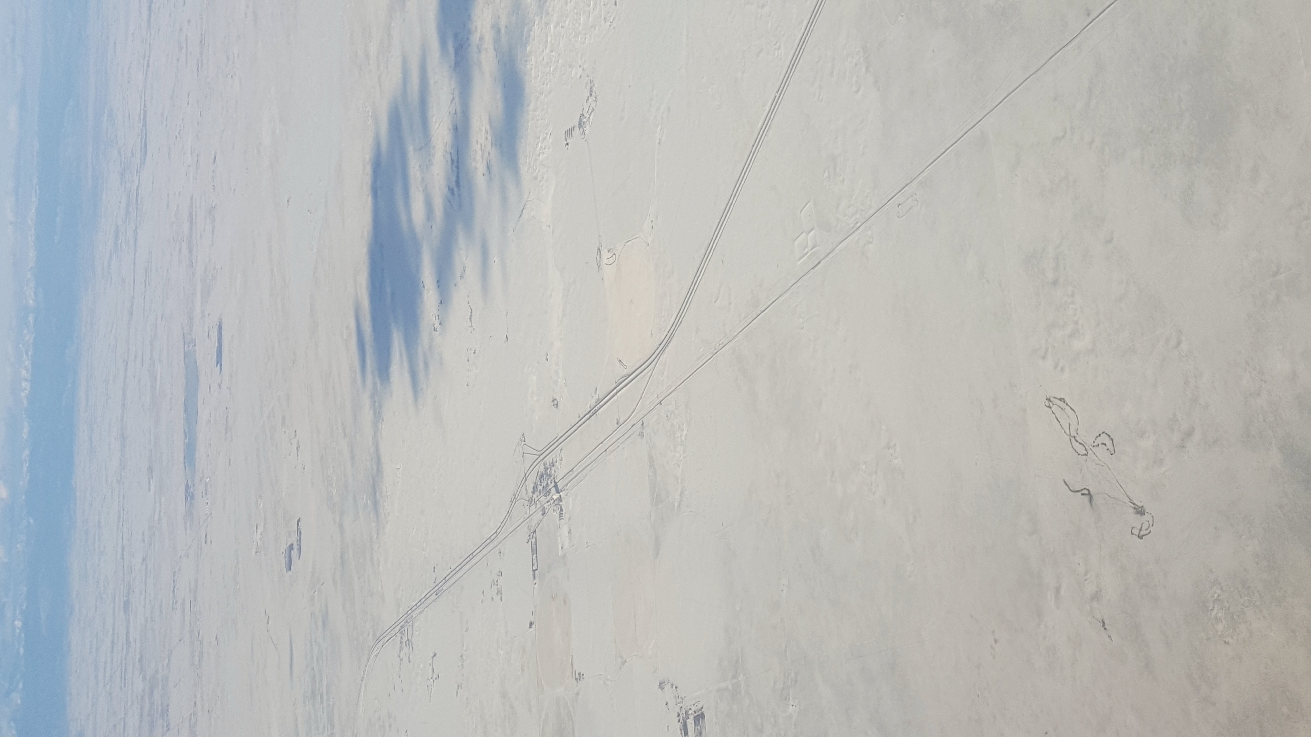
Flatlands ahead and below (i)

Landscape_102111_LR-1.jpg

Camera Roll-817
Grain silos from above

Good Morning Eastern Plains

Dearfield Fluff

20160420-IMG_0226

2016:08:28 17:47:56 Flickr-039
2016:08:28 17:47:57 Flickr-040

Morgan County (Colorado) Road U, between MCR 144 and MCR 2 - PLDL8006

Morgan County (Colorado) Road 42.5, between MCR 93.5 and MCR 1/8 - PLDL8093
2015 10 23 z 103 a
2015 10 23 z 103

2015 10 23 z 104 a
Great driving weather

RR-20120515-BrushSub-10.jpg
South Platte River Near Wiggins, Colorado

Red Rocks Rendezvous 2015
2014-09-14 16.33.59
Topographic Map of US-34, Orchard, CO, USA
Find elevation by address:

Places near US-34, Orchard, CO, USA:
Masters
34th Hwy, Orchard, CO, USA
Orchard
Roggen
County Rd 24 1/2, Roggen, CO, USA
Hardin
Co Rd, Kersey, CO, USA
18874 Co Rd 4
Wiggins
High St, Wiggins, CO, USA
Co Rd 16, Roggen, CO, USA
Keenesburg, CO, USA
37415 Co Rd 16
41509 State Hwy 52
Co Rd 61, Kersey, CO, USA
U.s. 6
31156 Co Rd 398
3800 Co Rd 95
CO-52, Keenesburg, CO, USA
Co Rd 74, Briggsdale, CO, USA
Recent Searches:
- Elevation of Corso Fratelli Cairoli, 35, Macerata MC, Italy
- Elevation of Tallevast Rd, Sarasota, FL, USA
- Elevation of 4th St E, Sonoma, CA, USA
- Elevation of Black Hollow Rd, Pennsdale, PA, USA
- Elevation of Oakland Ave, Williamsport, PA, USA
- Elevation of Pedrógão Grande, Portugal
- Elevation of Klee Dr, Martinsburg, WV, USA
- Elevation of Via Roma, Pieranica CR, Italy
- Elevation of Tavkvetili Mountain, Georgia
- Elevation of Hartfords Bluff Cir, Mt Pleasant, SC, USA