Elevation of County Rd 24 1/2, Roggen, CO, USA
Location: United States > Colorado > Weld County > Roggen >
Longitude: -104.37404
Latitude: 40.167036
Elevation: 1434m / 4705feet
Barometric Pressure: 85KPa
Elevation Map:
Satellite Map:
Related Photos:
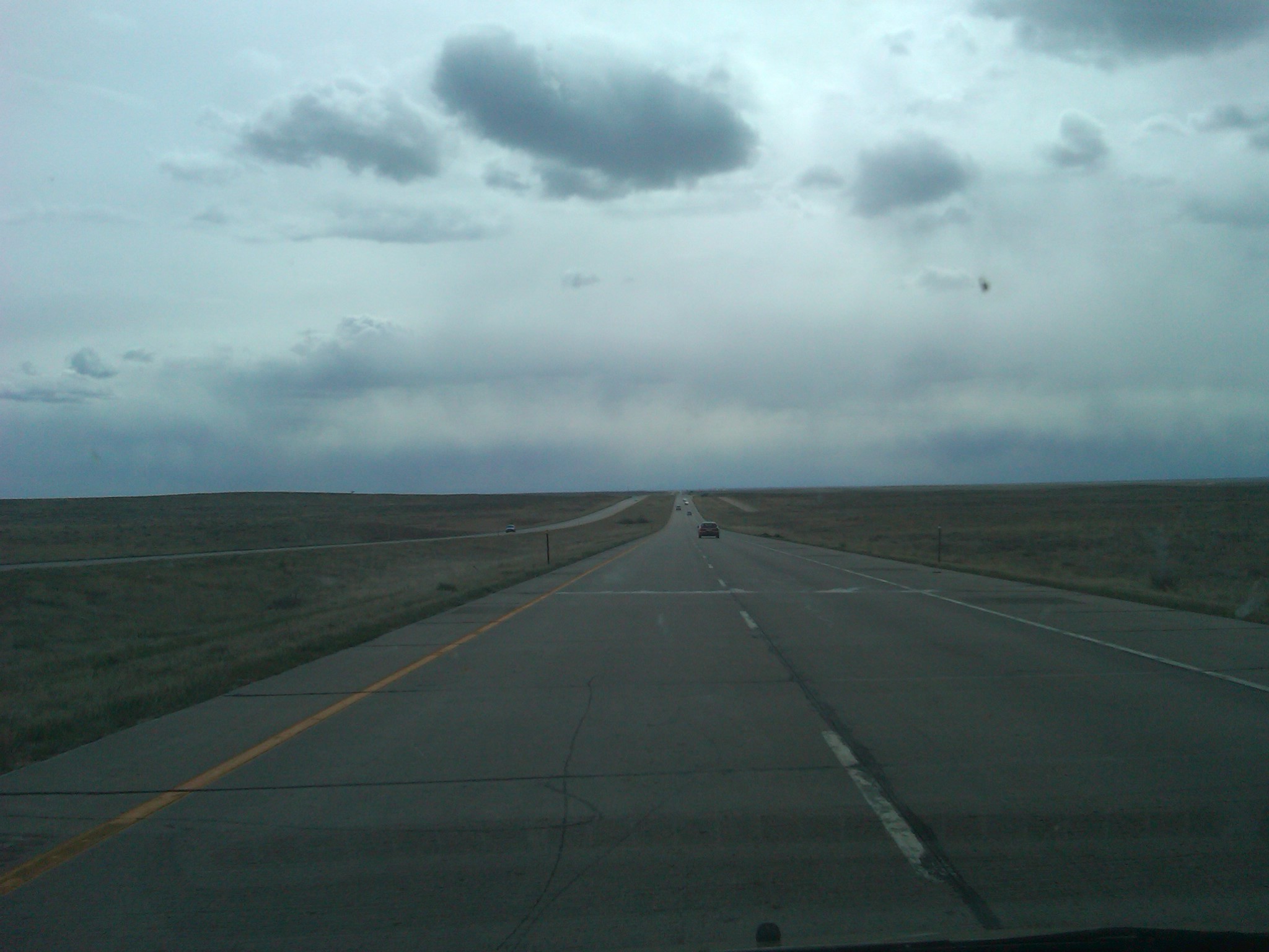
IMG00229-20110501-1701
Earth day

A Dream Lost

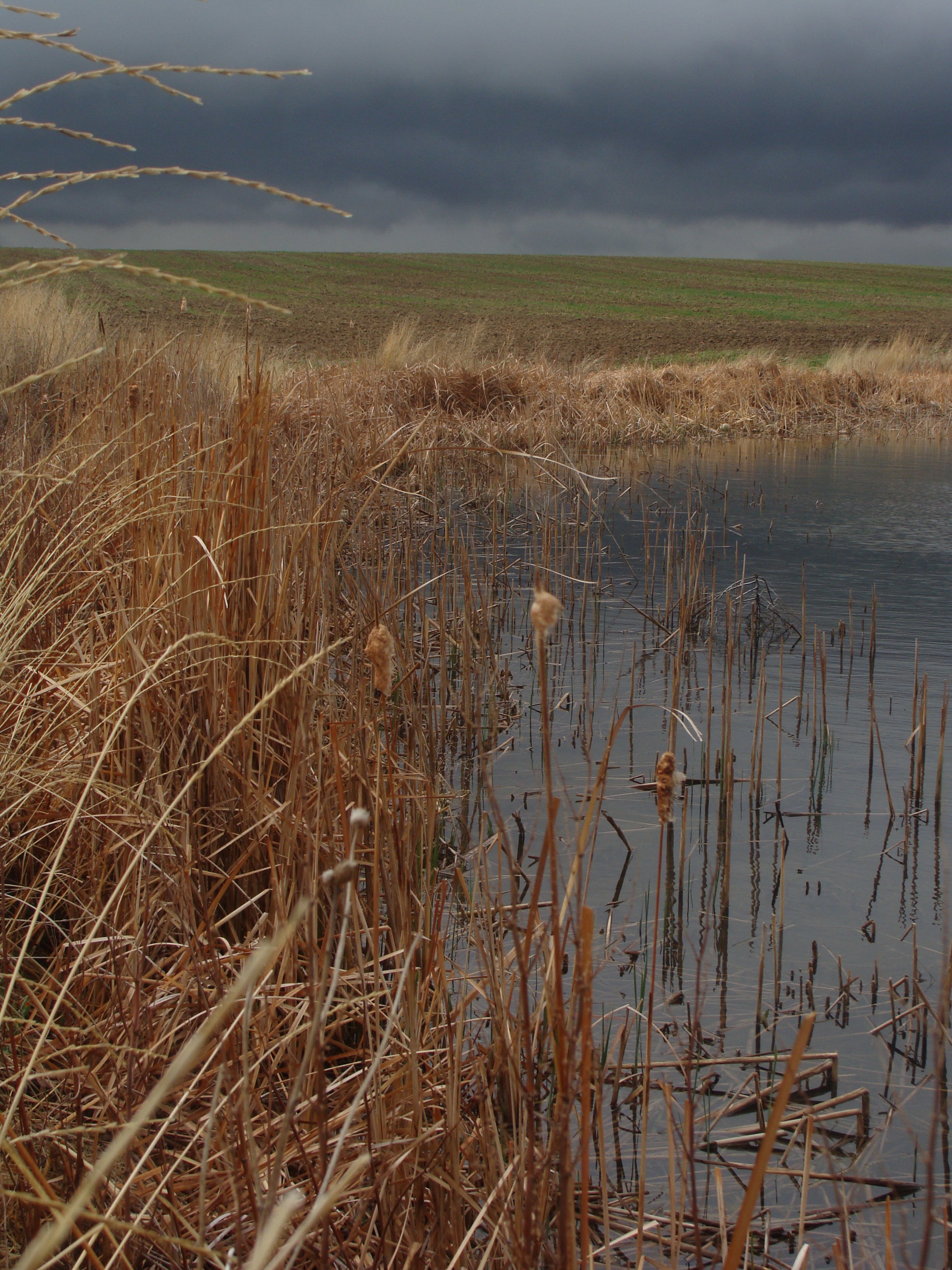
Flatlands ahead and below (i)

Landscape_102111_LR-1.jpg

Colorado River Overlook

15/3/08

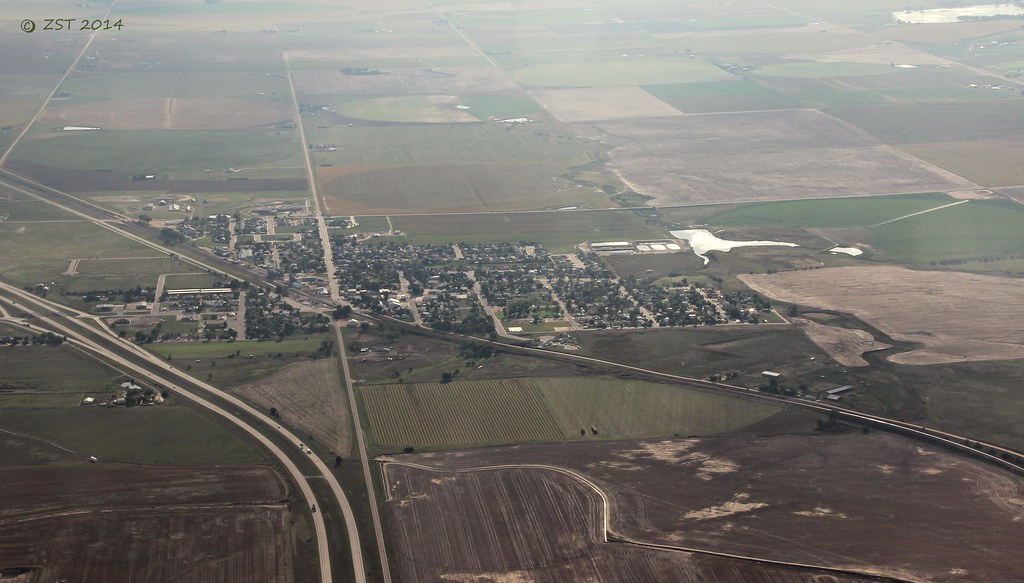
Good Morning Eastern Plains

Better Days Behind

August 3, 2013 #6

Same Tree in Color
Keenesburg, CO

2016:08:28 17:47:57 Flickr-042
Topographic Map of County Rd 24 1/2, Roggen, CO, USA
Find elevation by address:

Places near County Rd 24 1/2, Roggen, CO, USA:
Roggen
Keenesburg, CO, USA
37415 Co Rd 16
Co Rd 16, Roggen, CO, USA
31156 Co Rd 398
CO-52, Keenesburg, CO, USA
U.s. 6
4421 Co Rd 67
41509 State Hwy 52
34th Hwy, Orchard, CO, USA
Keenesburg
Co Rd 61, Keenesburg, CO, USA
US-34, Orchard, CO, USA
Hardin
Co Rd, Kersey, CO, USA
Masters
Co Rd 53, Keenesburg, CO, USA
3800 Co Rd 95
Co Rd 61, Kersey, CO, USA
Comanche Creek
Recent Searches:
- Elevation of Corso Fratelli Cairoli, 35, Macerata MC, Italy
- Elevation of Tallevast Rd, Sarasota, FL, USA
- Elevation of 4th St E, Sonoma, CA, USA
- Elevation of Black Hollow Rd, Pennsdale, PA, USA
- Elevation of Oakland Ave, Williamsport, PA, USA
- Elevation of Pedrógão Grande, Portugal
- Elevation of Klee Dr, Martinsburg, WV, USA
- Elevation of Via Roma, Pieranica CR, Italy
- Elevation of Tavkvetili Mountain, Georgia
- Elevation of Hartfords Bluff Cir, Mt Pleasant, SC, USA