Elevation of Co Rd 61, Kersey, CO, USA
Location: United States > Colorado > Weld County > Kersey >
Longitude: -104.49117
Latitude: 40.376247
Elevation: 1395m / 4577feet
Barometric Pressure: 86KPa
Elevation Map:
Satellite Map:
Related Photos:
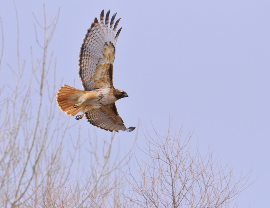
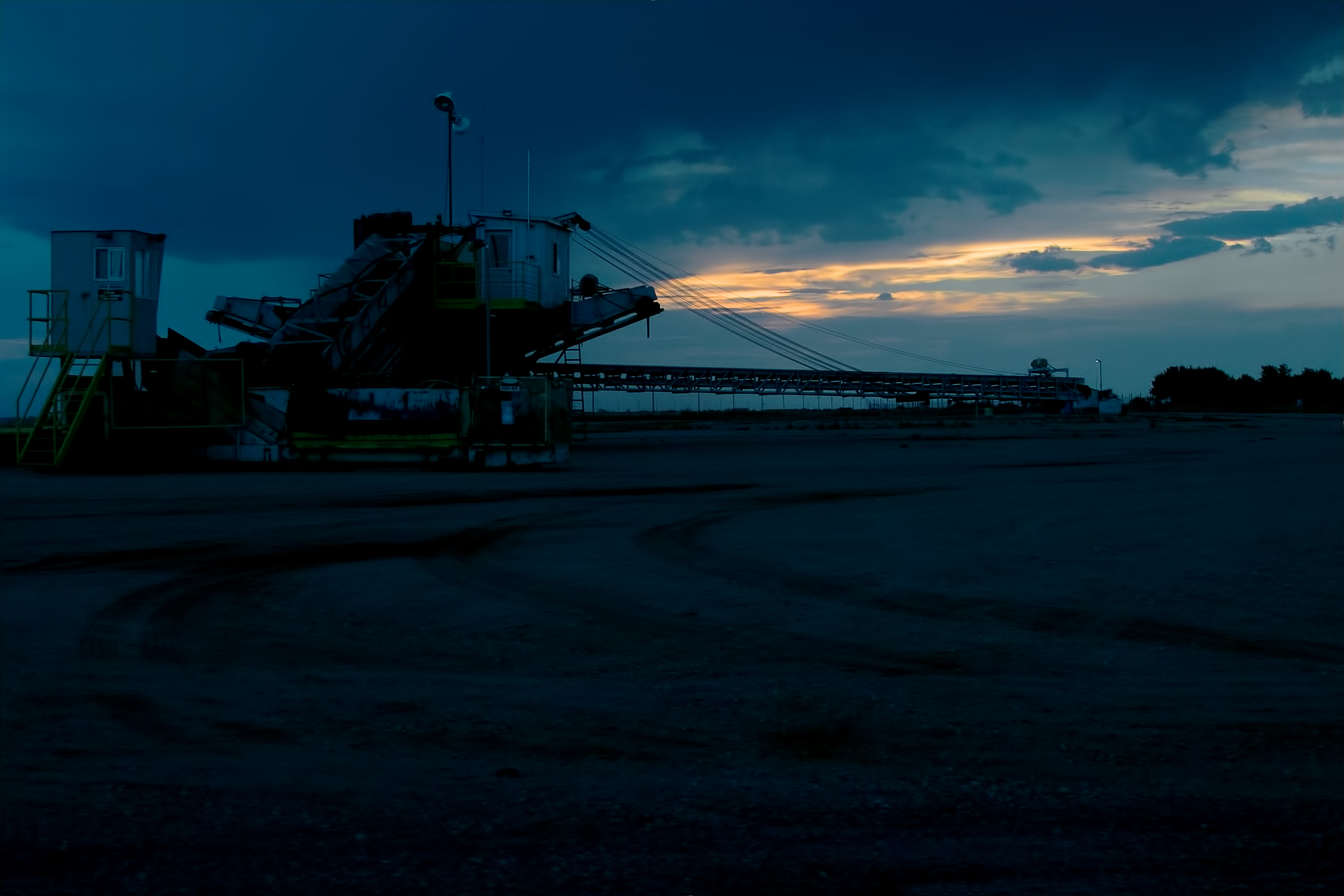
Flight Lines

Google Street View - Pan-American Trek - Greeley Carniceria
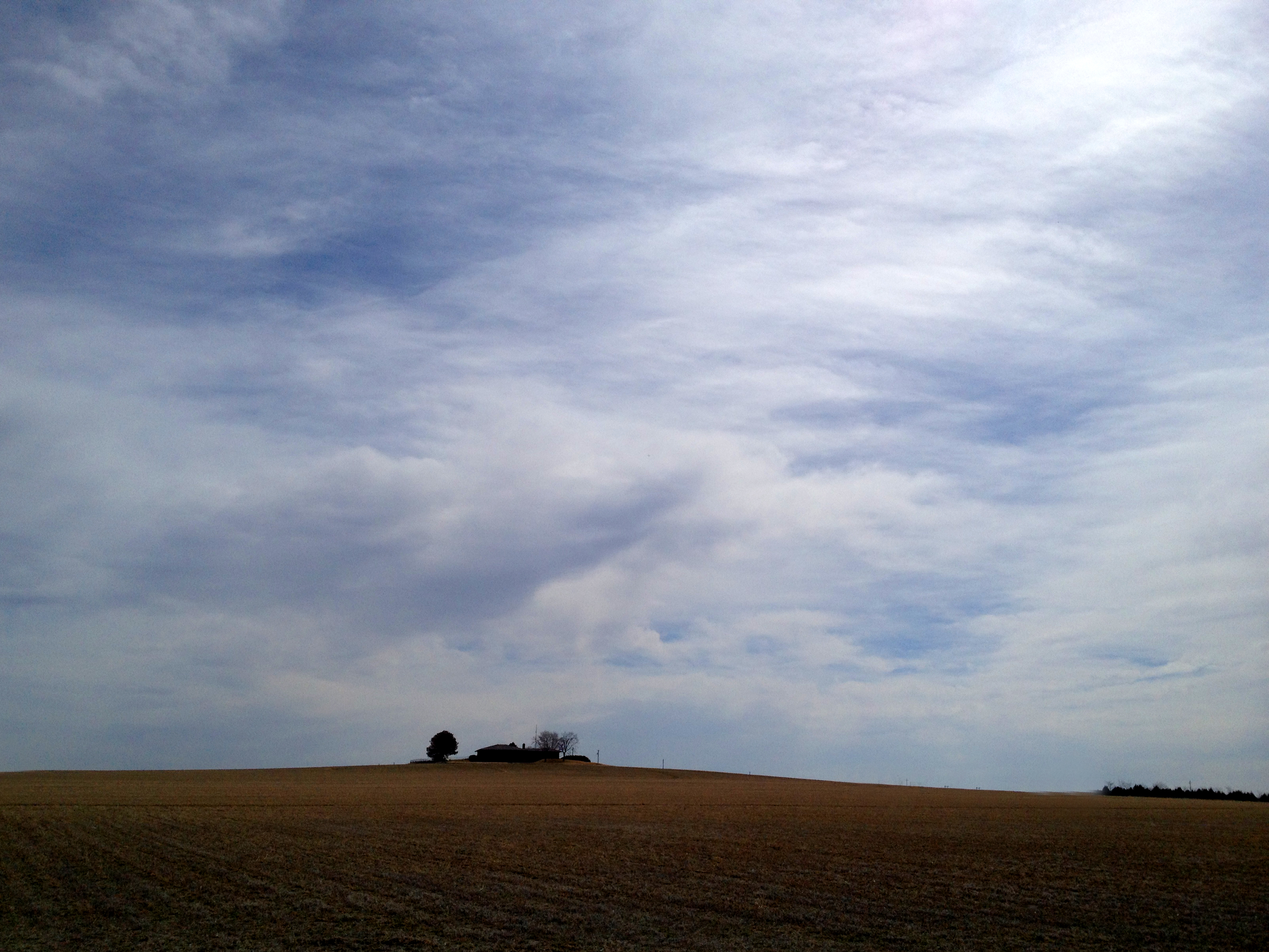
House On The Hill - Weld County - March 2014
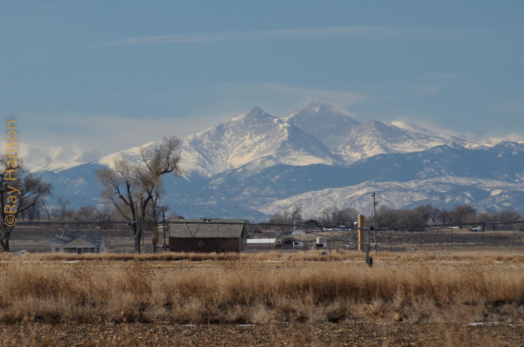
Twin Peaks

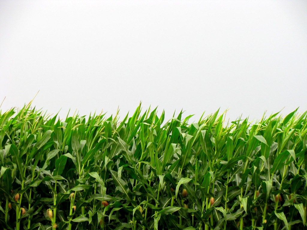
Corn field
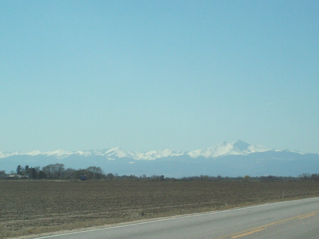
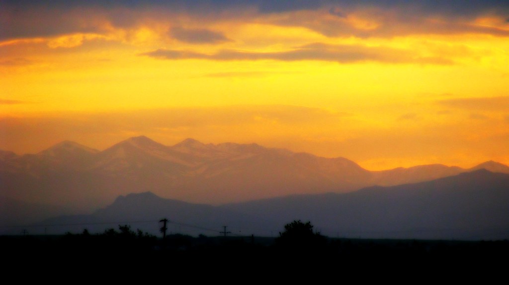
Snow on them there Rockies
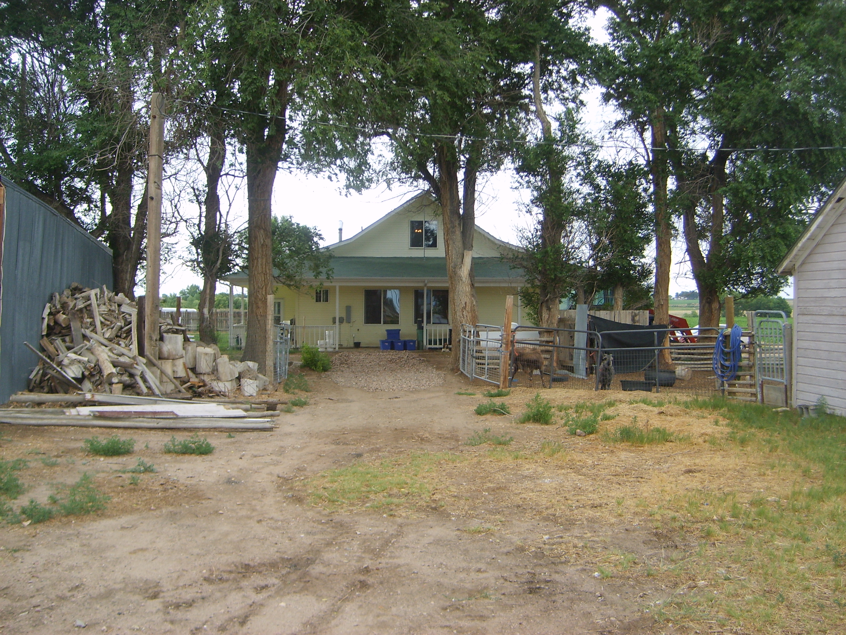
Front of House

Country Spring Storm
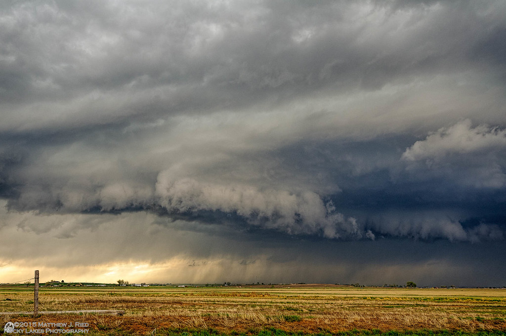
Severe thunderstorm near Kersey, CO May 7, 2014

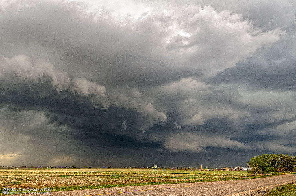
Severe thunderstorm near Kersey, CO May 7, 1014
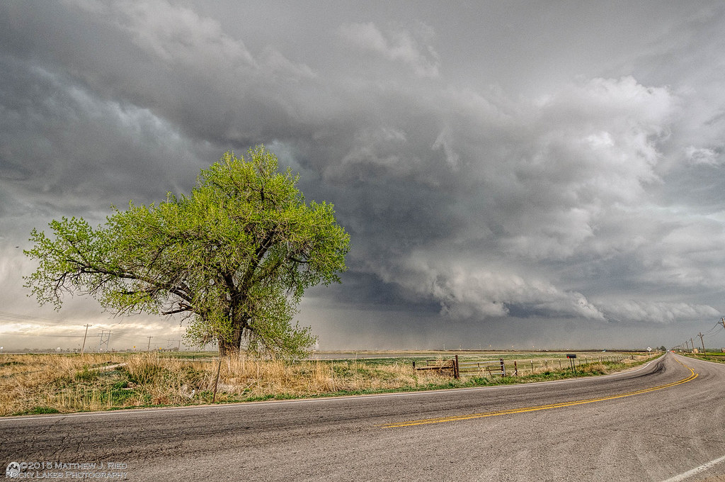
Severe thunderstorm near Kersey, CO May 7, 1014
Severe thunderstorm near Kersey, CO May 7, 1014
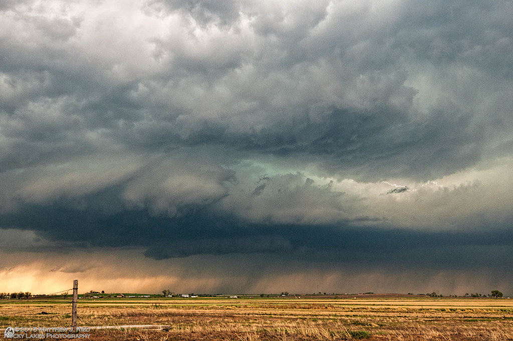
Severe thunderstorm near Kersey, CO May 7, 1014
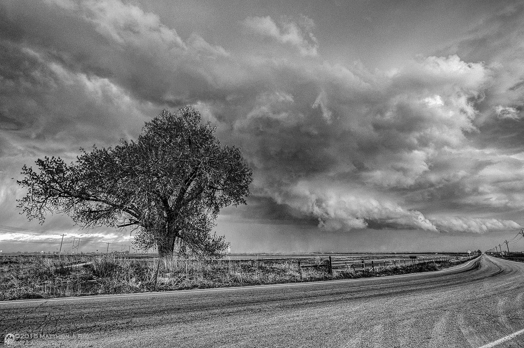
Severe thunderstorm near Kersey, CO May 7, 1014 (B&W)
purple majesties
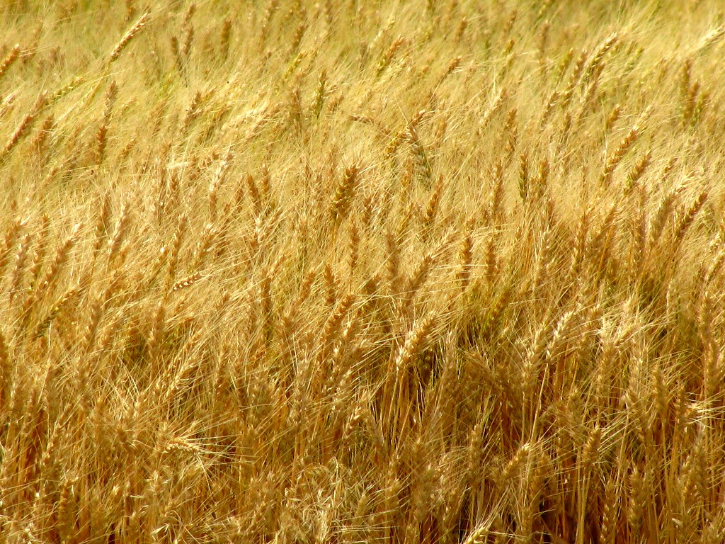
amber waves of grain
*corn!
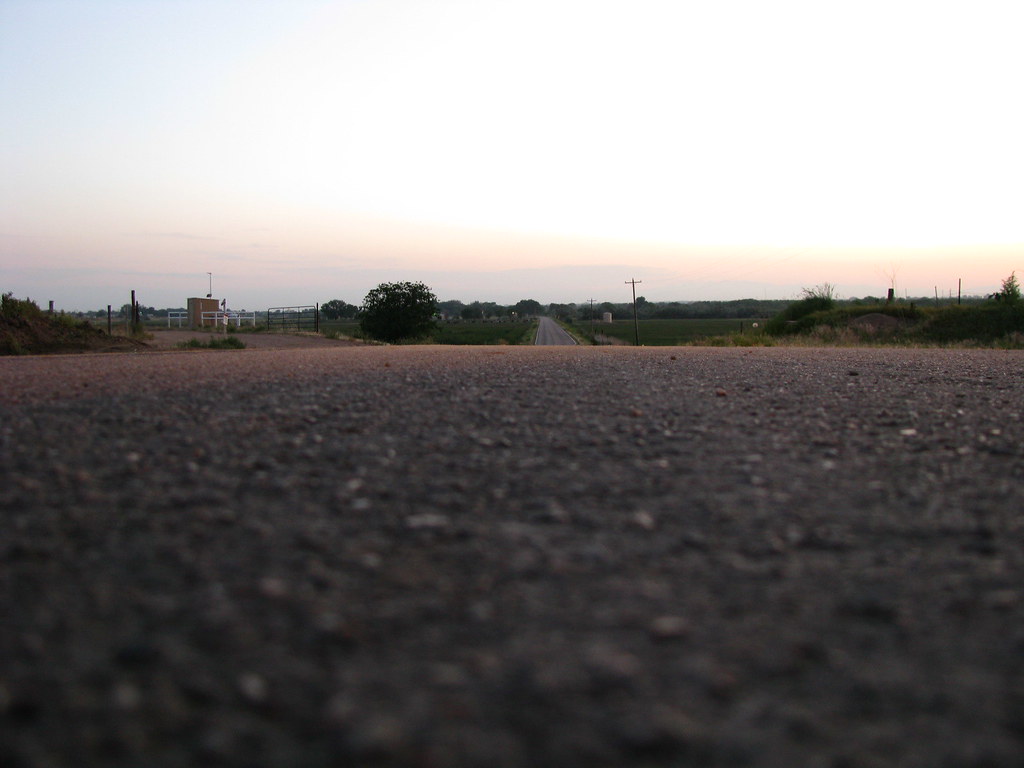
*the road ahead
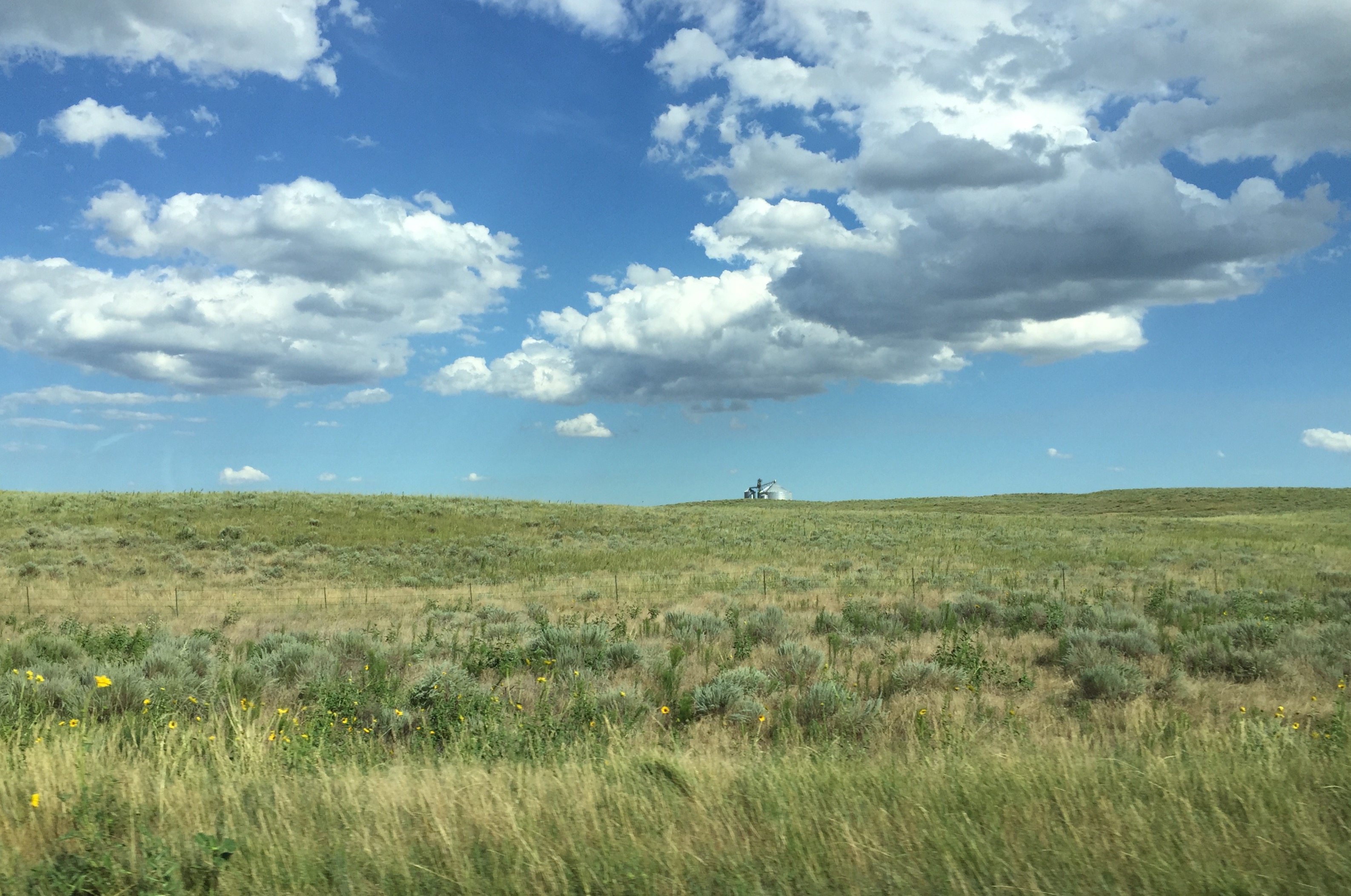
northeast colorado

Weld County (Colorado) Road 380, between WCR 61 and WCR 6, in ESE of Kersey (40°22'27" N 104°28'59" W) - PLDS5129
Weld County (Colorado) Road 61, just N of WCR 380, east of Kersey (40°22'33" N 104°29'19" W) - PLDS5158
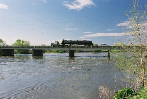
Platte River in Spring
Topographic Map of Co Rd 61, Kersey, CO, USA
Find elevation by address:

Places near Co Rd 61, Kersey, CO, USA:
Co Rd 55, Kersey, CO, USA
Co Rd, Kersey, CO, USA
Hardin
Kersey
Co Rd 45, Greeley, CO, USA
Cache La Poudre River
20th St, Greeley, CO, USA
6th Ave Ln, Garden City, CO, USA
Garden City
Central St, Evans, CO, USA
Evans
University Of Northern Colorado
919 7th St
La Salle
2260 17th Ave
Greeley
Carniceria La Tuxpeña
Weld County
2551 24th St
Co Rd 35, La Salle, CO, USA
Recent Searches:
- Elevation of Corso Fratelli Cairoli, 35, Macerata MC, Italy
- Elevation of Tallevast Rd, Sarasota, FL, USA
- Elevation of 4th St E, Sonoma, CA, USA
- Elevation of Black Hollow Rd, Pennsdale, PA, USA
- Elevation of Oakland Ave, Williamsport, PA, USA
- Elevation of Pedrógão Grande, Portugal
- Elevation of Klee Dr, Martinsburg, WV, USA
- Elevation of Via Roma, Pieranica CR, Italy
- Elevation of Tavkvetili Mountain, Georgia
- Elevation of Hartfords Bluff Cir, Mt Pleasant, SC, USA