Elevation of High St, Wiggins, CO, USA
Location: United States > Colorado > Morgan County > Wiggins >
Longitude: -104.0719146
Latitude: 40.230517
Elevation: 1388m / 4554feet
Barometric Pressure: 0KPa
Related Photos:

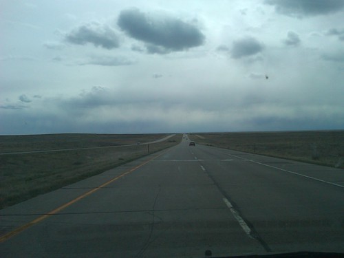
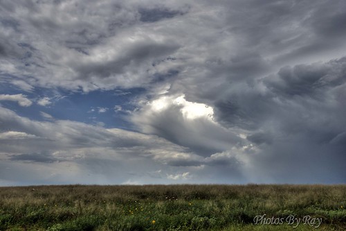
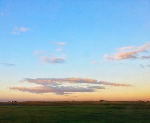
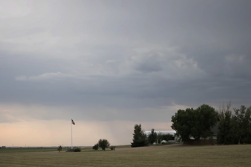
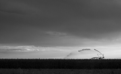
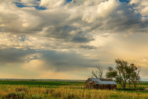
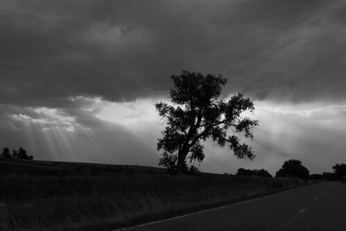
Morgan County (Colorado) Road O, between MCR 6/600 and MCR 8, WSW of Fort Morgan, 40°12'13" N 104°0'17" W - PLDL0003
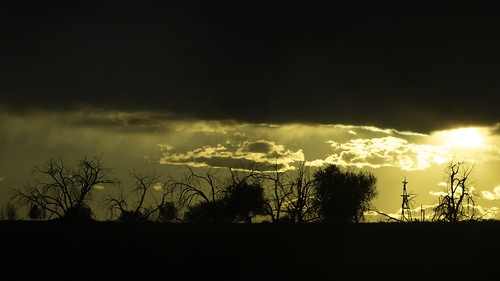
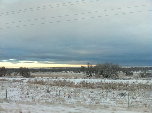
Morgan County (Colorado) Road O, between MCR 8 and MCR 10, WSW of Fort Morgan, 40°13'58" N 103°59'44" W - PLDL9976-Edit
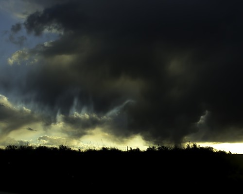
Morgan County (Colorado) Road O, between MCR 8 and MCR 10, WSW of Fort Morgan, 40°13'58" N 103°59'2" W - PLDL9966
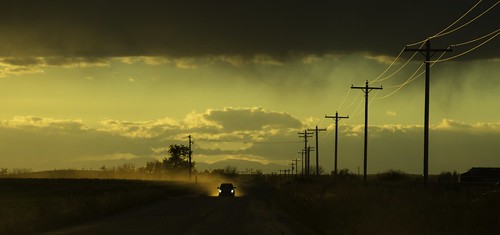
Morgan County (Colorado) Road O, between MCR 6/600 and MCR 8, WSW of Fort Morgan, 40°12'14" N 104°0'27" W - PLDL0005-Edit
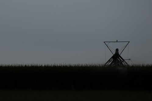
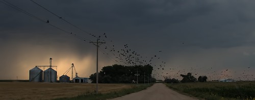
Morgan County (Colorado) Road 6, just north of MCR T, NE of Wiggins, WNW of Fort Morgan, 40°16'37" N 104°2'12" W - PLDS4086
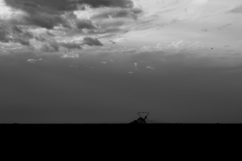
Morgan County (Colorado) Road 6, just north of MCR T, NE of Wiggins, WNW of Fort Morgan, 40°16'37" N 104°2'12" W - PLDS4083
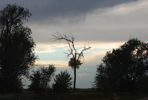
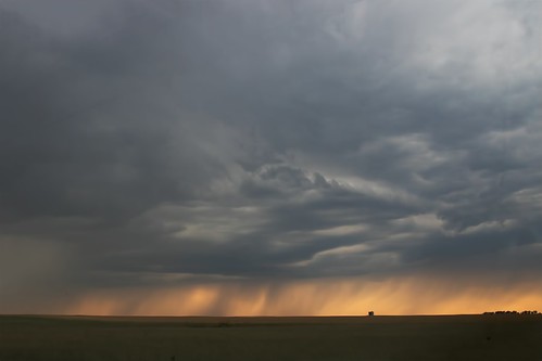
The Poodle Tree, Morgan County (Colorado) Road Q, just west of CR 1, between Wiggins and Fort Morgan - PLDL6872
Topographic Map of High St, Wiggins, CO, USA
Find elevation by address:

Places near High St, Wiggins, CO, USA:
Wiggins
18874 Co Rd 4
Orchard
Masters
US-34, Orchard, CO, USA
3800 Co Rd 95
41509 State Hwy 52
34th Hwy, Orchard, CO, USA
Co Rd 16, Roggen, CO, USA
37415 Co Rd 16
Roggen
County Rd 24 1/2, Roggen, CO, USA
Keenesburg, CO, USA
Hardin
Co Rd, Kersey, CO, USA
CO-52, Keenesburg, CO, USA
Comanche Creek
4421 Co Rd 67
E th Ave, Strasburg, CO, USA
Headlight Rd, Strasburg, CO, USA
Recent Searches:
- Elevation map of Greenland, Greenland
- Elevation of Sullivan Hill, New York, New York, 10002, USA
- Elevation of Morehead Road, Withrow Downs, Charlotte, Mecklenburg County, North Carolina, 28262, USA
- Elevation of 2800, Morehead Road, Withrow Downs, Charlotte, Mecklenburg County, North Carolina, 28262, USA
- Elevation of Yangbi Yi Autonomous County, Yunnan, China
- Elevation of Pingpo, Yangbi Yi Autonomous County, Yunnan, China
- Elevation of Mount Malong, Pingpo, Yangbi Yi Autonomous County, Yunnan, China
- Elevation map of Yongping County, Yunnan, China
- Elevation of North 8th Street, Palatka, Putnam County, Florida, 32177, USA
- Elevation of 107, Big Apple Road, East Palatka, Putnam County, Florida, 32131, USA
- Elevation of Jiezi, Chongzhou City, Sichuan, China
- Elevation of Chongzhou City, Sichuan, China
- Elevation of Huaiyuan, Chongzhou City, Sichuan, China
- Elevation of Qingxia, Chengdu, Sichuan, China
- Elevation of Corso Fratelli Cairoli, 35, Macerata MC, Italy
- Elevation of Tallevast Rd, Sarasota, FL, USA
- Elevation of 4th St E, Sonoma, CA, USA
- Elevation of Black Hollow Rd, Pennsdale, PA, USA
- Elevation of Oakland Ave, Williamsport, PA, USA
- Elevation of Pedrógão Grande, Portugal
