Elevation of US-11, Williamsport, MD, USA

Location: United States > Maryland > Washington County > 2, Williamsport > Williamsport >

Longitude: -77.810250

Latitude: 39.6033224

Elevation: 136m / 446feet

Barometric Pressure: 100KPa

Elevation Map:

elevation map of US-11, Williamsport, MD, USA

Satellite Map:

Satellite map of US-11, Williamsport, MD, USA

Related Photos:

antietam antietamnationalbattlefield church dunkerchurch maryland sharpsburg tree window
Looking Out The Church Window.
park sky square nationalpark maryland farmland squareformat antietam battlefield watchtower iphone lomofi iphoneography instagramapp uploaded:by=instagram instantdc foursquare:venue=877607
Antietam North.
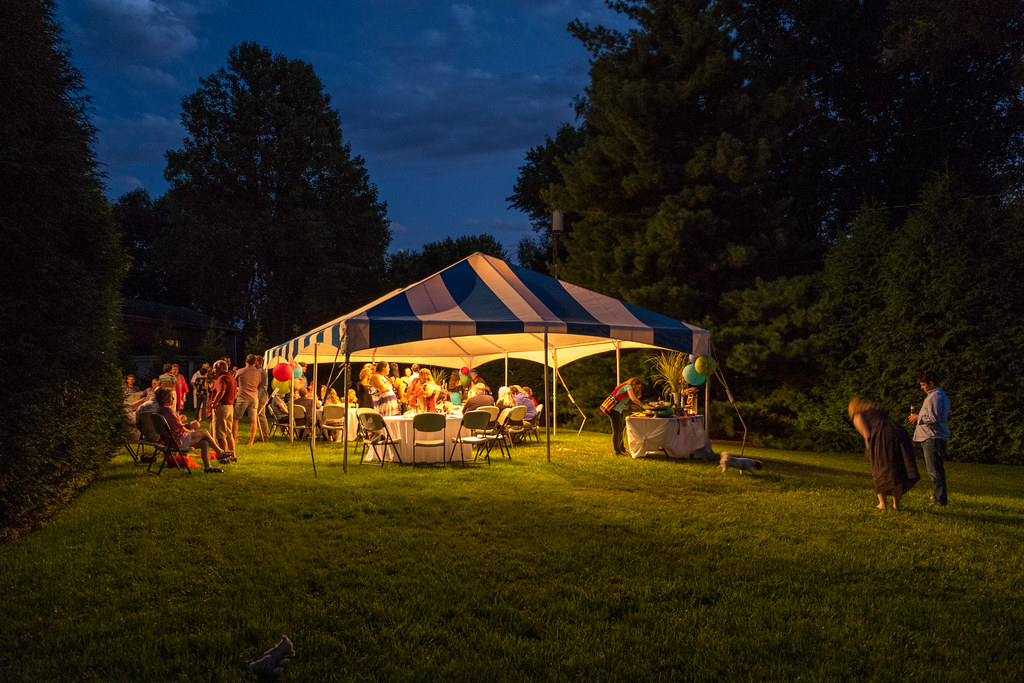
Sunset On The Six Eight
drone dji mavic2pro aerial dronephotography hagerstown city urban winter snow
Rectangular Square
battlefield fence friday antietam nationalparkservice nationalpark nps canon 5dmarkii 70200mmf4l
Fence Sitting Snow
morning house abandoned broken stairs sunrise dawn peeling shadows decay creepy spooky hdr dessicate
On The Opposite Side
antietam bloodylane
Bloody Lane, Antietam
2016 04-18 9:33AM NS AC44C6M-4000 S/B 37-Q, Maugansville, MD
park trees red orange white building brick church monument yellow night nationalpark md nikon candles glow tripod maryland historic civilwar historical bags antietam battlefield nikkor amateur luminaries sharpsburg 18200mm d90 antietambattlefield delayedshutter dunkerchurch
Behind Dunker Church
cocanal conococheaguecreekaqueduct williamsportmd reflection bridge
US 11: Bridge over Untroubled Waters
morning bridge tree fog thechallengefactory excaliburquote
Merlin! Where are you? Call your dragon to weave a mist to hide us!
maryland luminaries sharpsburg antietambattlefield stdntsdoncooper
Antietam National Battlefield Luminaries
maryland antietam sharpsburg americancivilwar antietambattlefield bloodylane antietamnationalmilitarypark sharpsburgmaryland thewarbetweenthestates
The Lane
orange texture ice water reflections cocanal
Escher Dreams
maryland aqueduct williamsport cocanal conococheaque
Conococheaque Aqueduct Arch
acc maryland luminaries sharpsburg antietamnationalbattlefield
Another view of the New York state monument in the gathering darkness
civilwar chilly overcastday antietamnationalbattlefield battleofantietam sharpsburgmaryland nikond300 nikkor1424f28 stdntsdoncooper september1862 photoexcursionwithadam threeshotpanoramic vistorscenterlookingeast
3 shot Pano of the Antietam Battlefield
drone dji mavic2pro aerial dronephotography hagerstown city urban winter snow
South Side Of The Sky
1855 1855mm america baltimore dc eeuu eastcoast estadosunidos fotografíadepaisaje fuji fujifilm fujinon fujinonxf1855mmf284rlmois hagerstown hagerstownmaryland hagerstownmartinsburgmetropolitanarea landscape landscapephotography landschaftsfotografie lens md maryland northamerica paisaje photography travel travelphotography traveling travels usa unitedstates unitedstatesofamerica viaje washingtoncounty washingtondc xf мэриленд хейгерстаун アメリカ アメリカ合衆国 フジノン ヘイガーズタウン メリーランド州 ワシントンボルチモア大都市圏 北米 東海岸 米国 美国 風景 風景写真 馬里蘭州 黑格斯敦 메릴랜드주 헤이거스타운 fujifilmx fujix
Hagerstown, Maryland, USA
autumn house fall md october hiking lock maryland trail co potomac cocanal midatlantic lockkeepershouse jerbec lock48 lock47
Fall on the C&O Canal Trail
war civil civilwar american hdr antietambattlefield bloodylane battleofantietam nikond90 sharpsburgmaryland nikon1685vr battleofsharpsburg topazadjust thesunkenroad antieambattlefieldcivilwar
The Sunken Road
usa unitedstatesofamerica maryland civilwar thesouth antietam historicalbattlefield
Brick and canon
usa unitedstatesofamerica maryland civilwar thesouth antietam historicalbattlefield
Walkway to the cemetary
history unitedstates civilwar westvirginia historiclandmark fallingwaters fallingwatersfalls
Falling Waters Falls
washingtoncountymd littleconococheaguecreek
Water Fall on Little Conococheague Creek
maryland monument antietam national battlefield memorial early spring sunlight wind clouds blue sky trees grass uscivilwar history
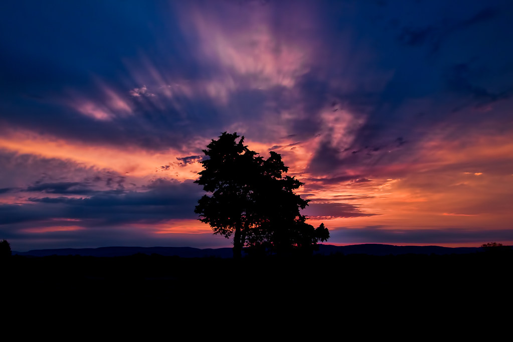
The New Day Brings its Shining Sun
usa unitedstatesofamerica maryland civilwar thesouth antietam historicalbattlefield
Agriculture is never far away II
usa unitedstatesofamerica maryland civilwar thesouth antietam historicalbattlefield
Stone masonry
usa unitedstatesofamerica maryland civilwar thesouth antietam historicalbattlefield
Some grass
Canons II
MASON DIXON FIELDS
Burnside’s Bridge
old stone creek canon maryland beaver route 5d 70 mkii farmstead
Fine Old Barn with Fresh Repairs
canadagoose cocanal williamsportdays
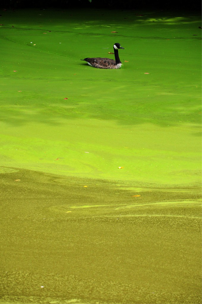
A Canada Goose in the C&O Canal
antietam
Amber waves of grass
smithsburg maryland unitedstates us
CSX B702 - Chewsville, MD
maryland civilwar antietam battlefield sharpsburg bloodylane sunkenroad antietamnationalbattlefield
ANTIETAM BLOODY LANE SUNDOWN
pet max grass 510fav cat spring orangecat creamsicles cc100 catspotting oreengenesses kittystormtroopers cwcc
Under surveillance
park morning sky tree colors silhouette clouds sunrise dawn maryland rays antietam battlefield
Good Morning Tree
square squareformat iphoneography instagramapp xproii uploaded:by=instagram foursquare:venue=4b9d7cb8f964a520ddaf36e3
Miles of this
sepia nikon maryland civilwar antietam battlefield sharpsburg d80 antietamnationalbattlefield mummafarm
Antietam - Mumma Farm