Elevation of 26, Halfway, MD, USA
Location: United States > Maryland > Washington County >
Longitude: -77.773816
Latitude: 39.6159027
Elevation: 156m / 512feet
Barometric Pressure: 99KPa
Elevation Map:
Satellite Map:
Related Photos:

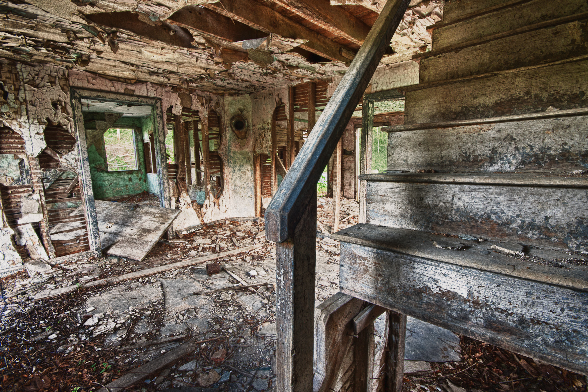
_RWB6215-Edit-Edit-2-Edit-Edit.jpg
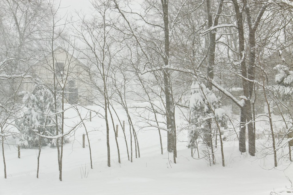
Today's Obligatory Snow Picture

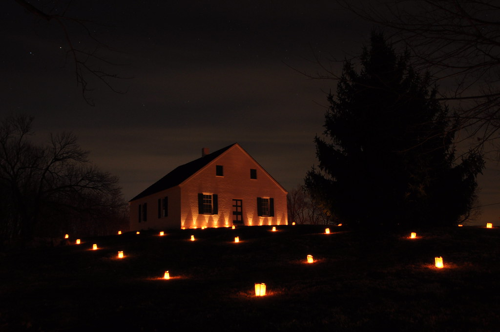
bridged light

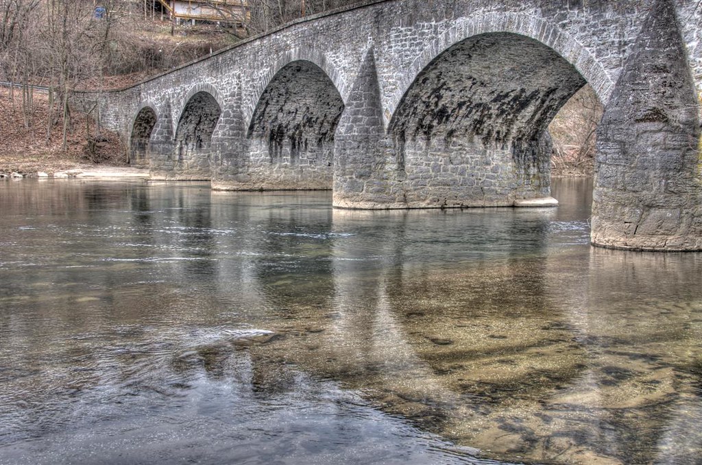
Conococheaque Aqueduct Arch
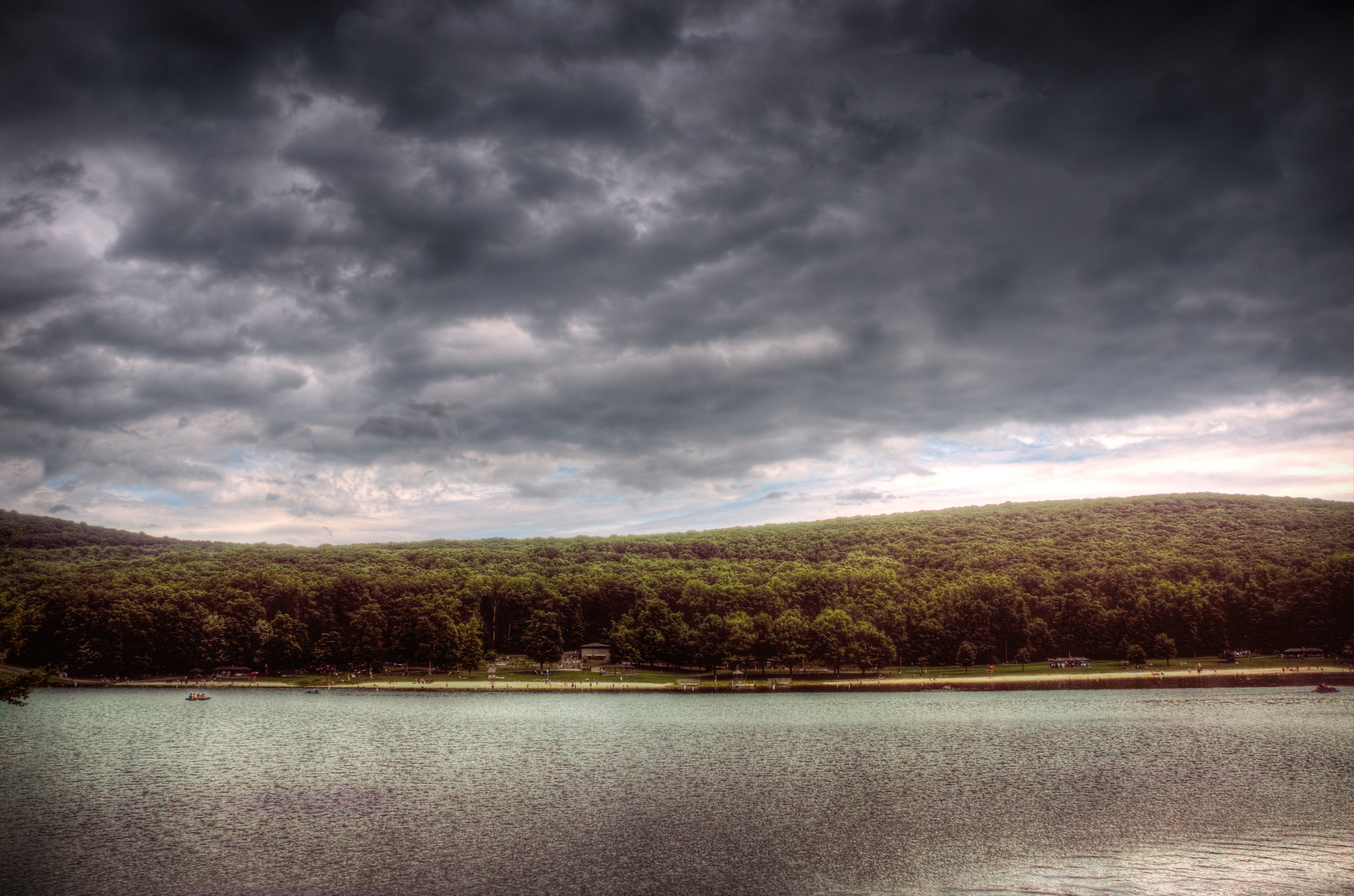
Greenbriar Lake
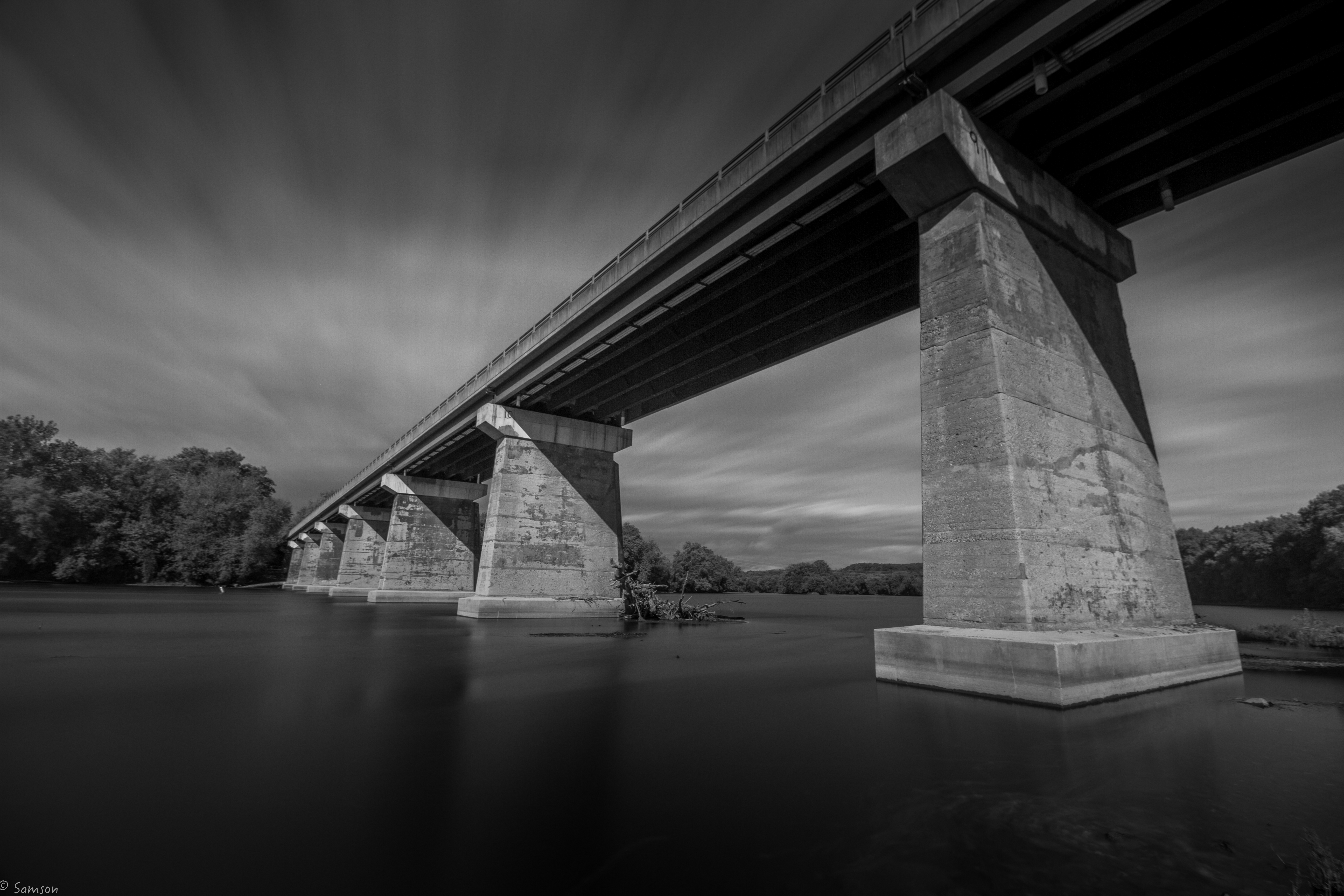
Bridge Meeting Water
Behind Dunker Church
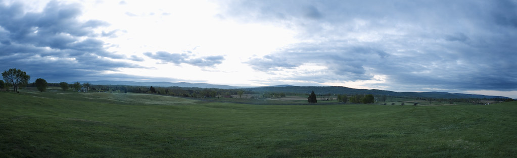
3 shot Pano of the Antietam Battlefield

Greenbriar Lake

CCLO_2015-02-01_ChewsvilleRd_0212C

Picnic Friday #2
US 11-1-2
Antietam North.

Appalachian Trail in Maryland
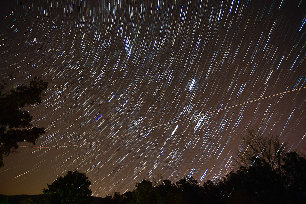
OMG, it's full of stars!

The Appalachian Trail in Maryland

Appalachian Trail - Black Rock (Maryland) Sunset
On The Opposite Side

I was bored....

Chestnut-collared Longspur
Antietam - The Cornfield
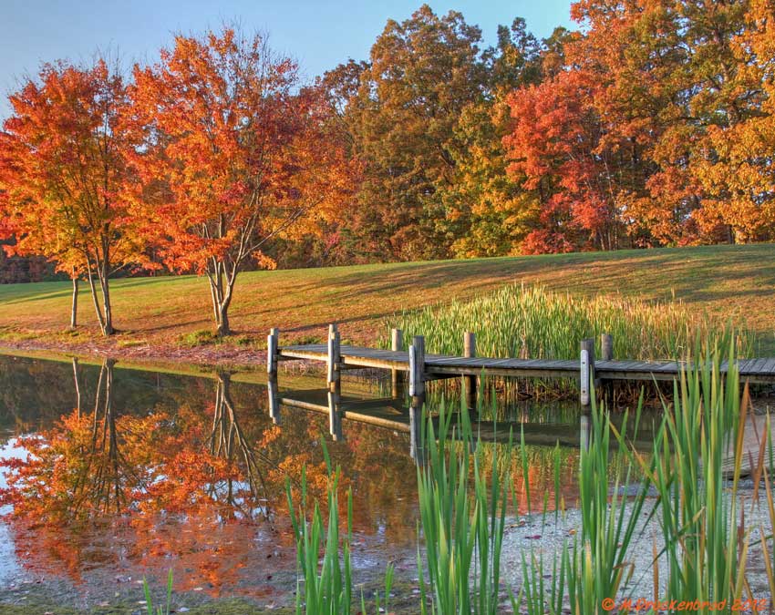
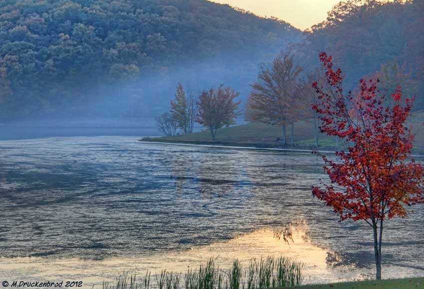
Fall reflections
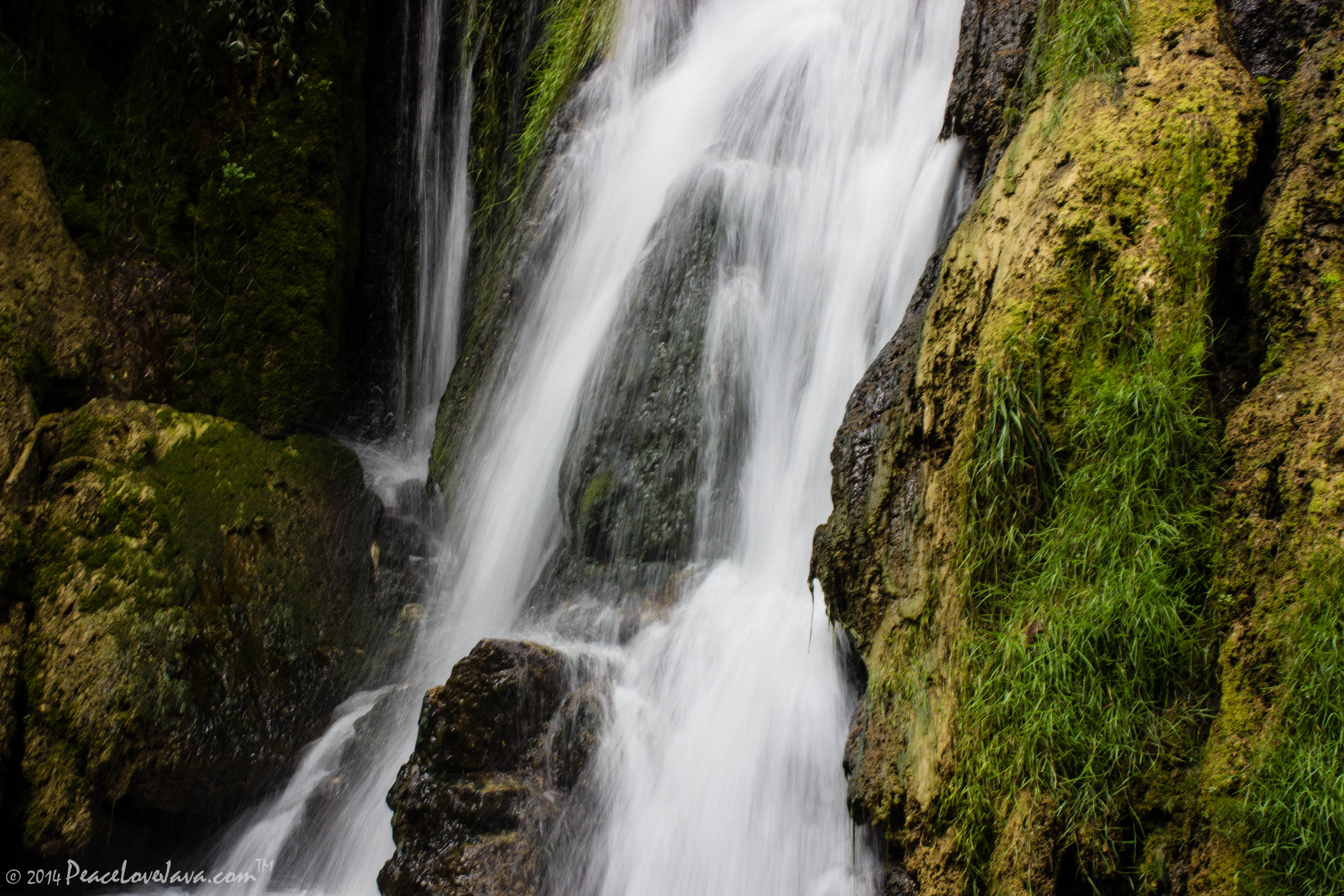
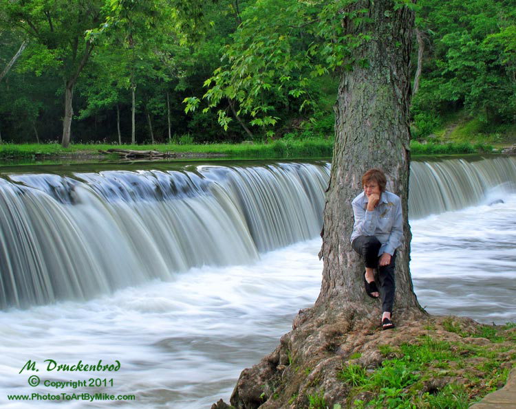
Falling Waters Falls Closeup

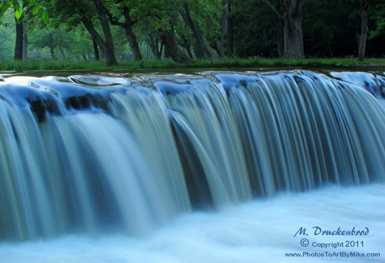
Falling Waters Falls

A lakefront gazebo overlooking Greenbrier Lake

_RWB6254-Edit-Edit.jpg
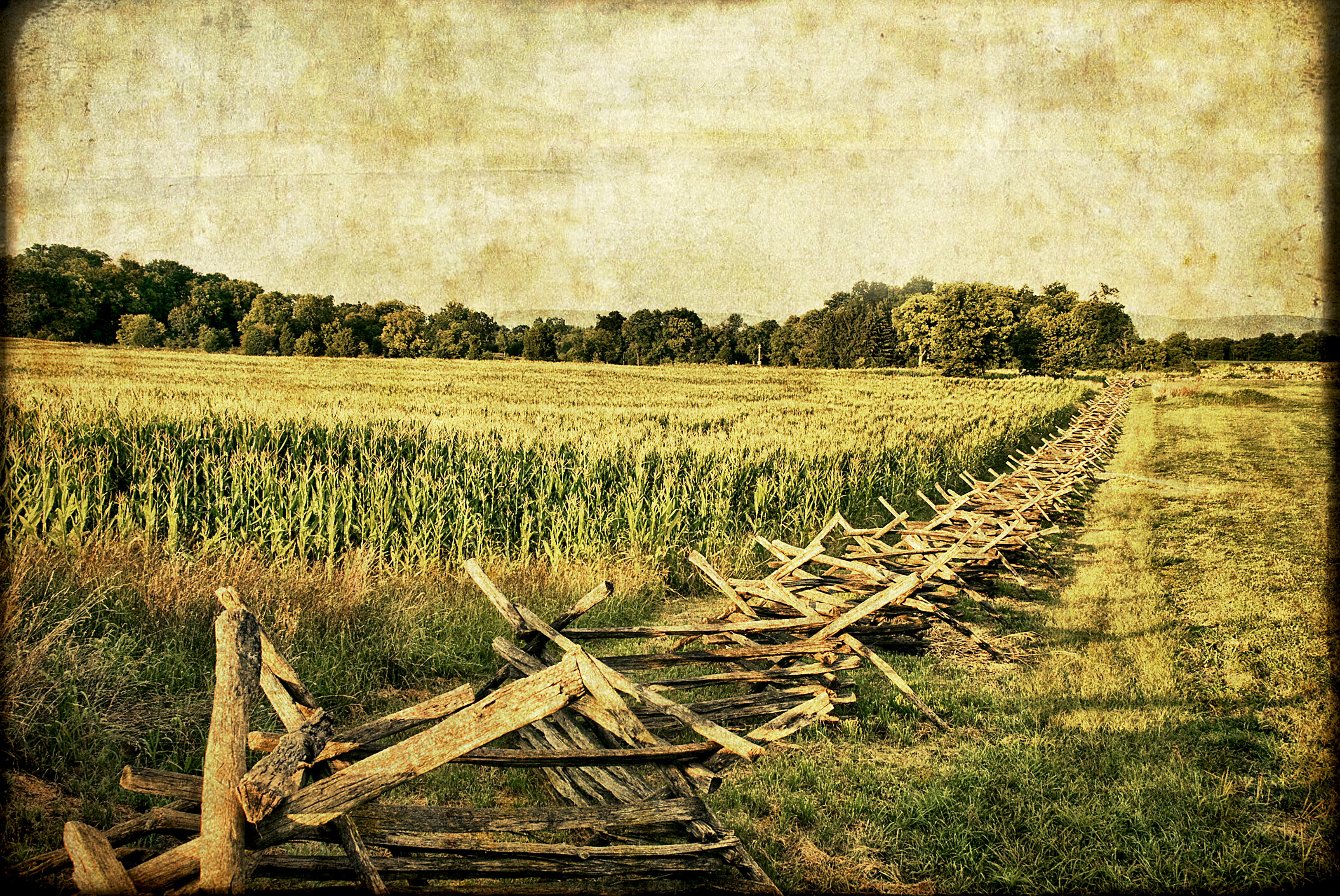
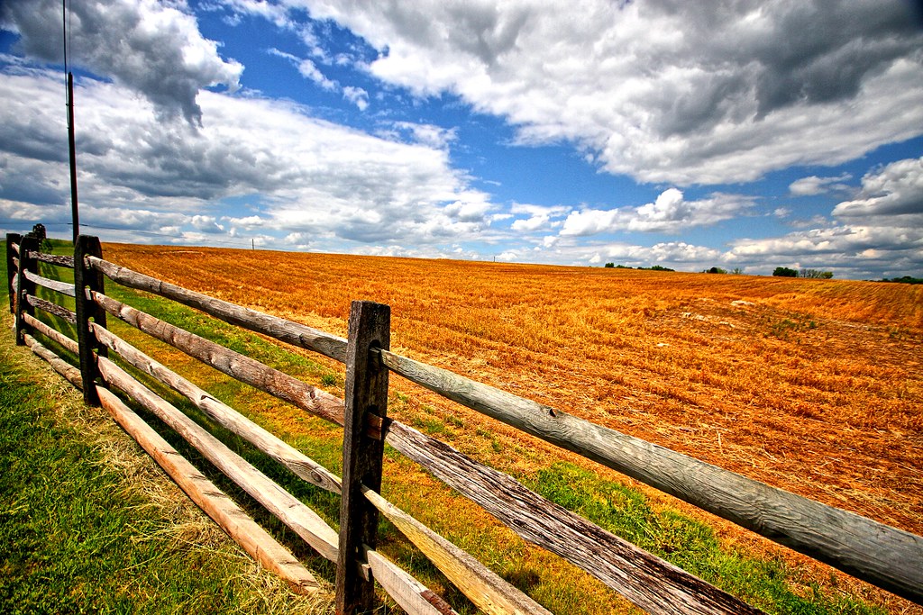
MASON DIXON FIELDS
Sundown over Greenbrier Lake at Greenbrier State Park, Maryland
Miles of this

Greenbrier Lake, Boonsboro Maryland
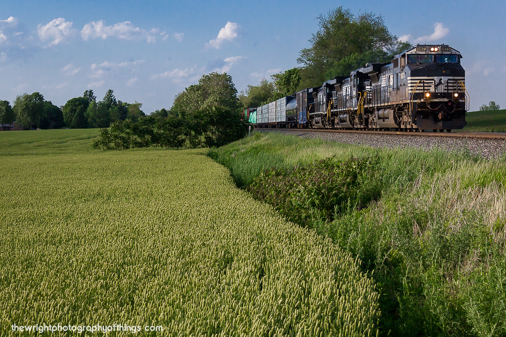
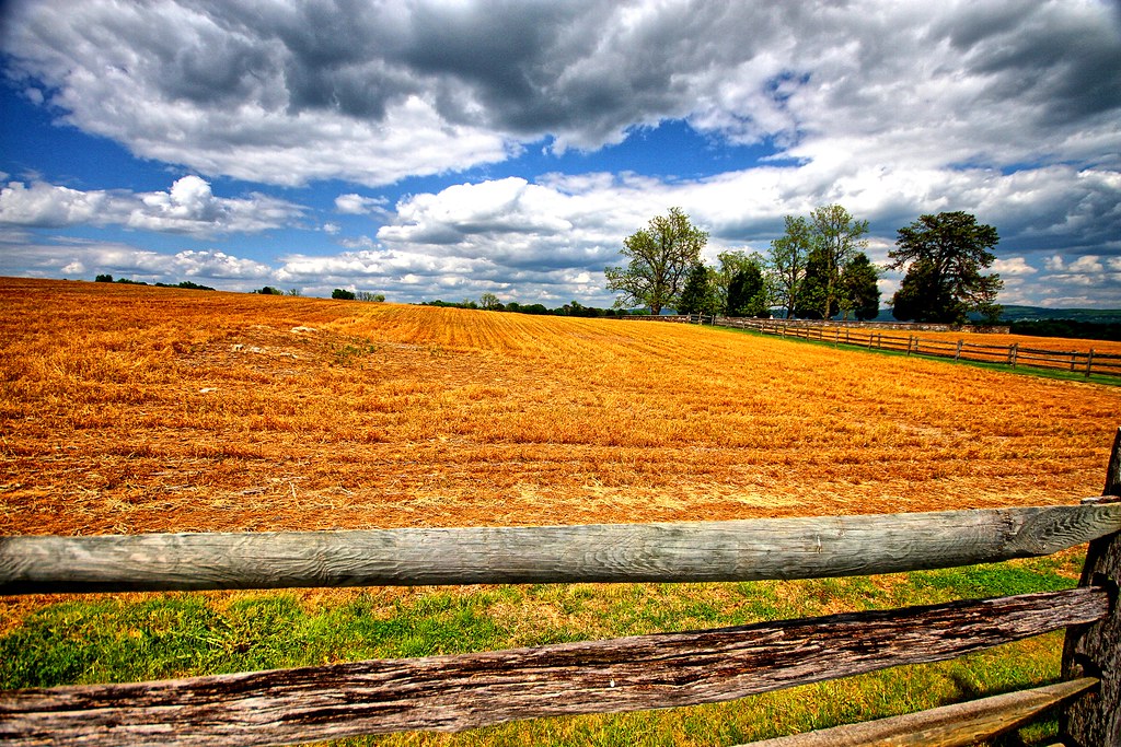
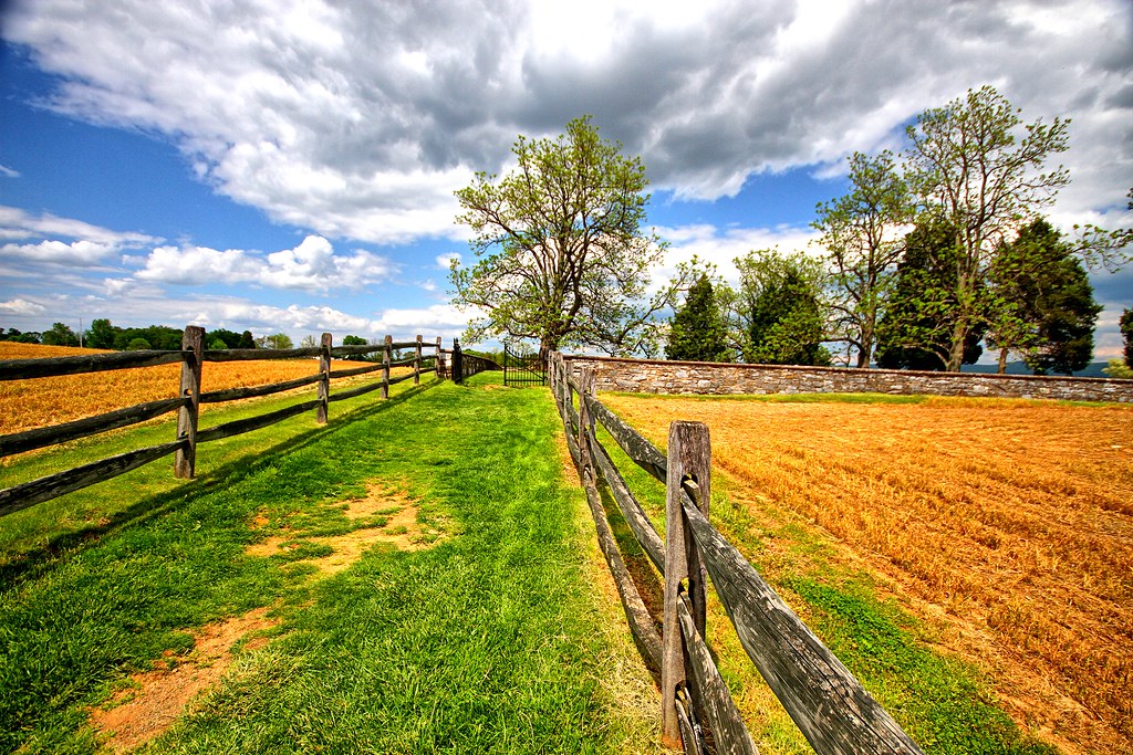
Agriculture is never far away
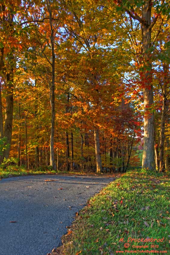
An Autumn Drive
Agriculture is never far away II
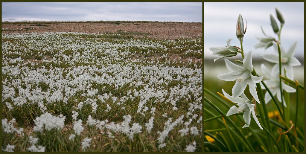
Antietam Flowers
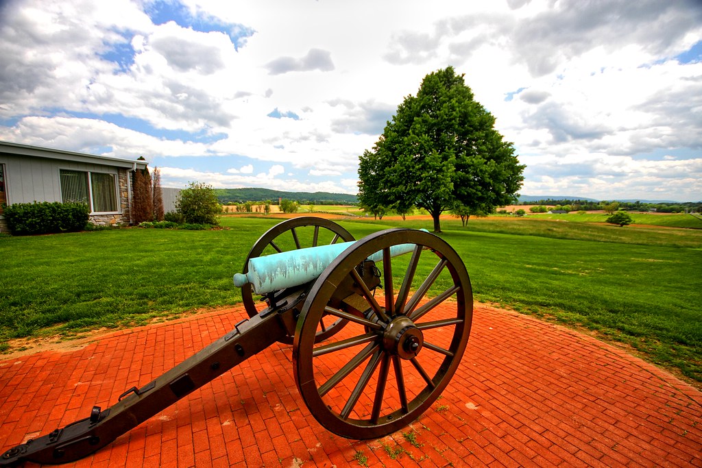
Brick and canon
Walkway to the cemetary
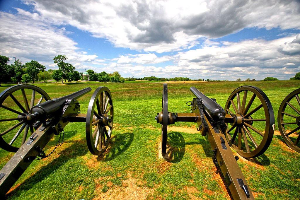
Canons II
Devils Backbone Park, Boonsboro MD waterfall
Devils Backbone Park, Boonesboro MD silky water

Morning on the Conococheague Creek in Williamsport MD

_RWB6021-Edit.jpg

Stone masonry
Topographic Map of 26, Halfway, MD, USA
Find elevation by address:

Places in 26, Halfway, MD, USA:
Places near 26, Halfway, MD, USA:
Allen Ave, Hagerstown, MD, USA
Halfway
16727 Custer Ct
Greenberry Road
16516 Virginia Ave
Melody Ln, Hagerstown, MD, USA
310 E Potomac St
2, Williamsport
299 Us-11
Hagerstown, MD, USA
Yogi Bear's Jellystone Park™ In Williamsport, Md
Williamsport
10 E Potomac St
25, Hagerstown
Lappans Rd, St James, MD, USA
301 West Side Ave
Saint James
Washington County
Hagerstown
301 N Westside Ave
Recent Searches:
- Elevation of Corso Fratelli Cairoli, 35, Macerata MC, Italy
- Elevation of Tallevast Rd, Sarasota, FL, USA
- Elevation of 4th St E, Sonoma, CA, USA
- Elevation of Black Hollow Rd, Pennsdale, PA, USA
- Elevation of Oakland Ave, Williamsport, PA, USA
- Elevation of Pedrógão Grande, Portugal
- Elevation of Klee Dr, Martinsburg, WV, USA
- Elevation of Via Roma, Pieranica CR, Italy
- Elevation of Tavkvetili Mountain, Georgia
- Elevation of Hartfords Bluff Cir, Mt Pleasant, SC, USA