Elevation of Lappans Rd, St James, MD, USA
Location: United States > Maryland > Washington County > 12, Fairplay > Saint James >
Longitude: -77.757623
Latitude: 39.564258
Elevation: 140m / 459feet
Barometric Pressure: 100KPa
Elevation Map:
Satellite Map:
Related Photos:
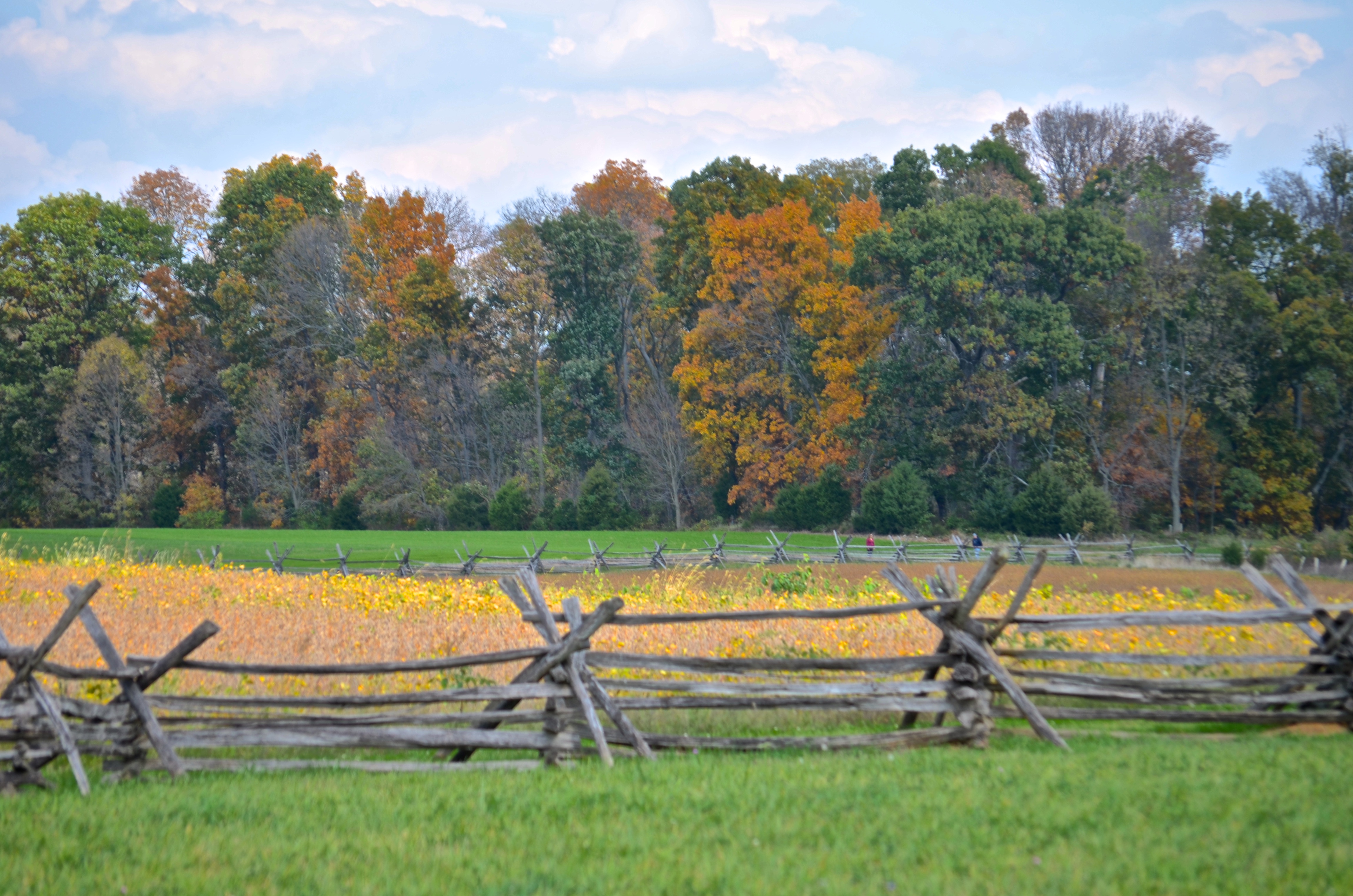
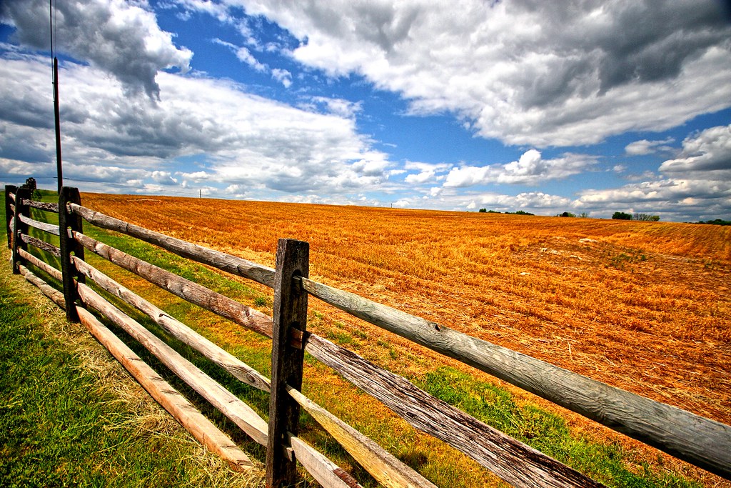
Cornfield, Antietam, rail fence
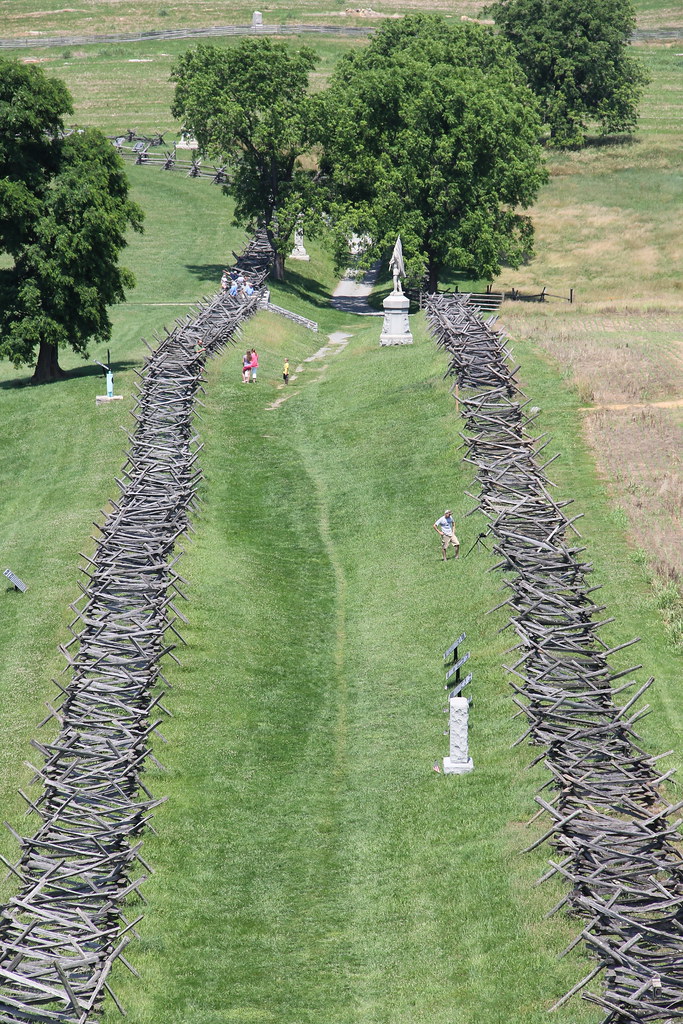
Antietam National Battlefield - View of Bloody Lane from the Observation Tower

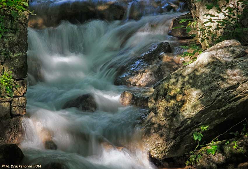
Antietam National Battlefield - Antietam Creek

US 11-1-2

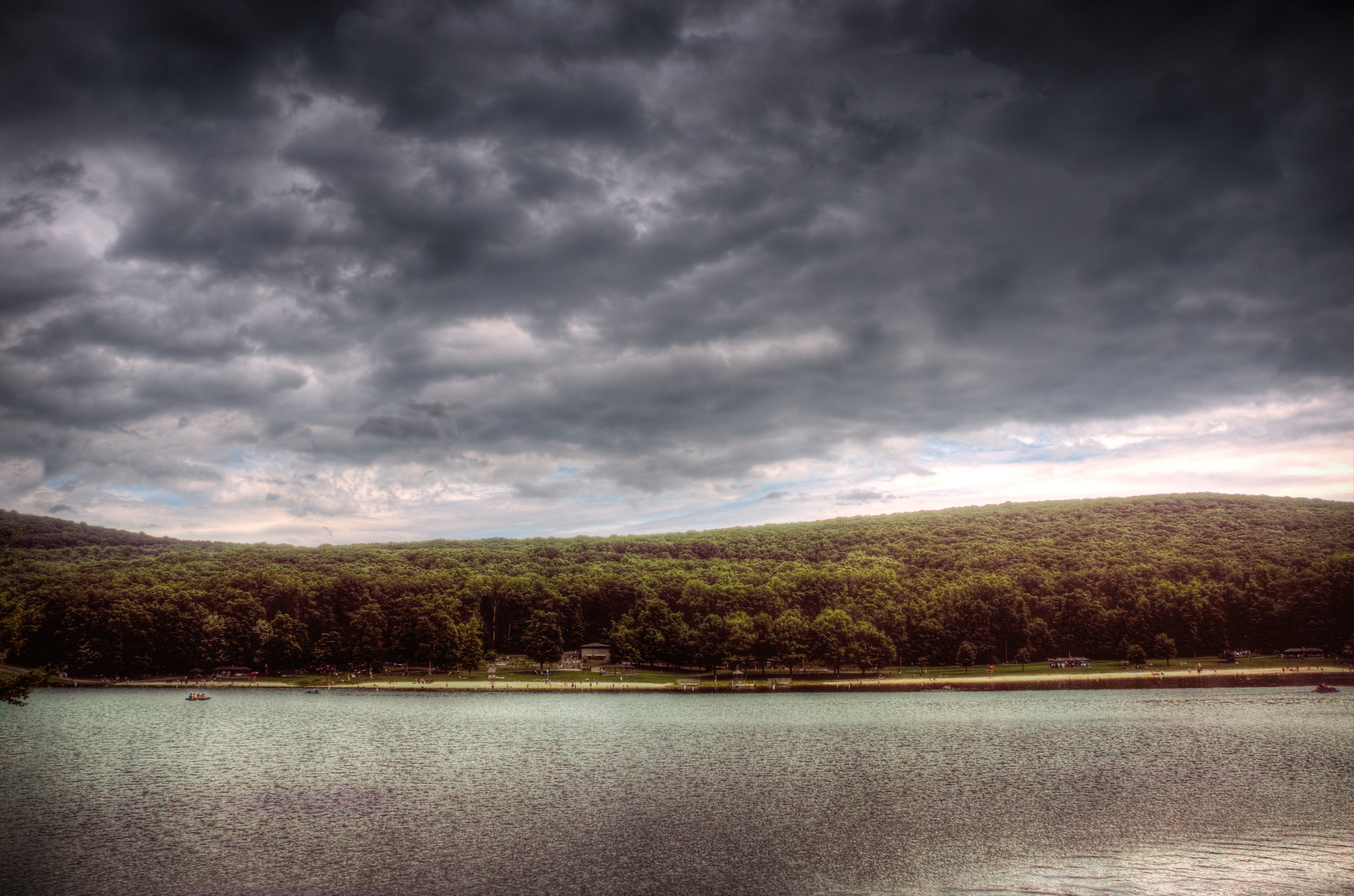
Dark Cloud Dusk B&W

Viewing the Potomac and Blackford's Crossing from the Rumsey Monument, Shepherdstown, WV
Upstream view of Town Run, Shepherdstown, West Virginia
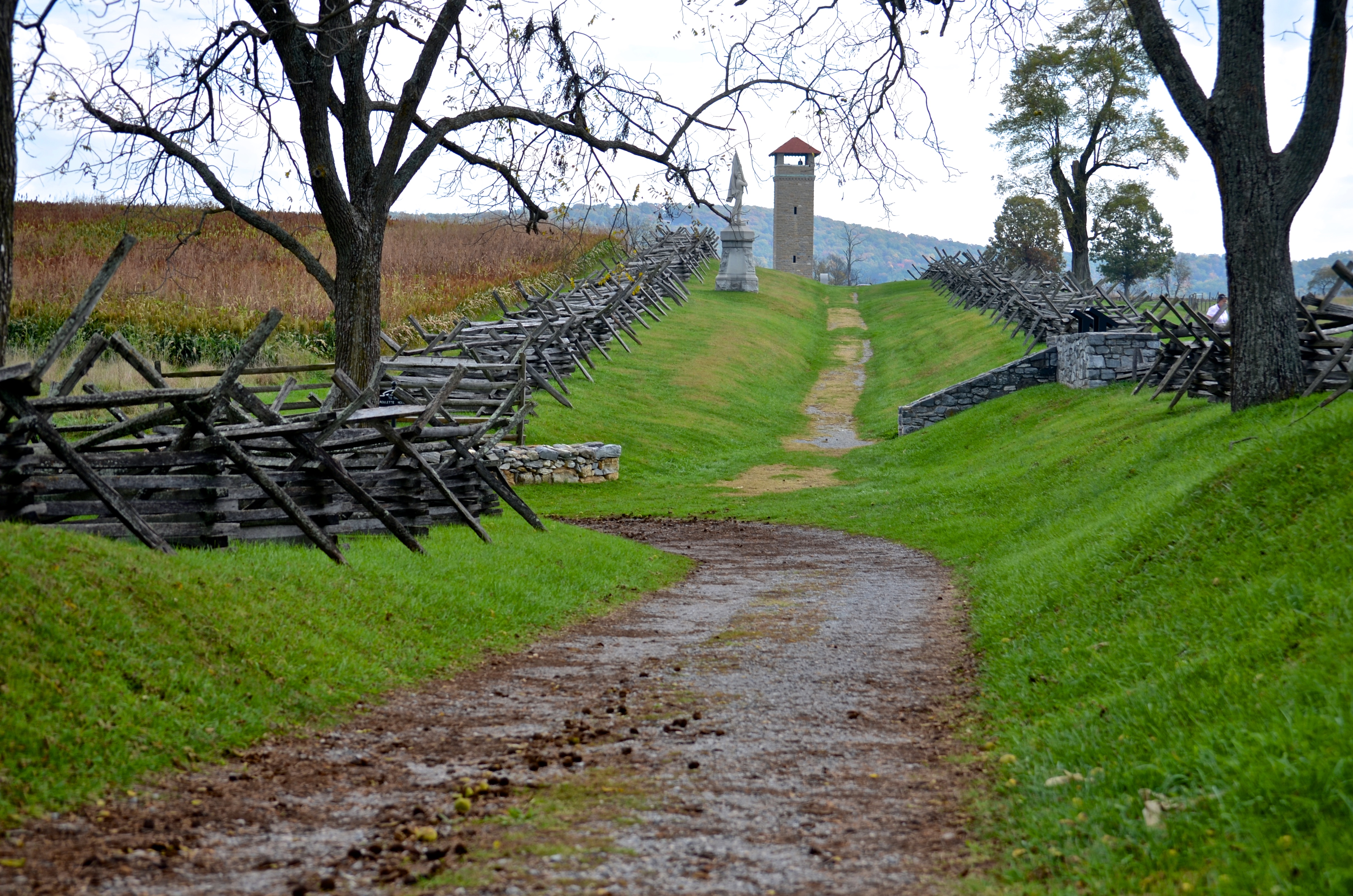
Bloody Lane, Antietam

_RWB6124.jpg
view from the James Rumsey (Sheperdstown Pike) Bridge

Back Alley view (behind German Street)
View out another window

_RWB6215-Edit-Edit-2-Edit-Edit.jpg
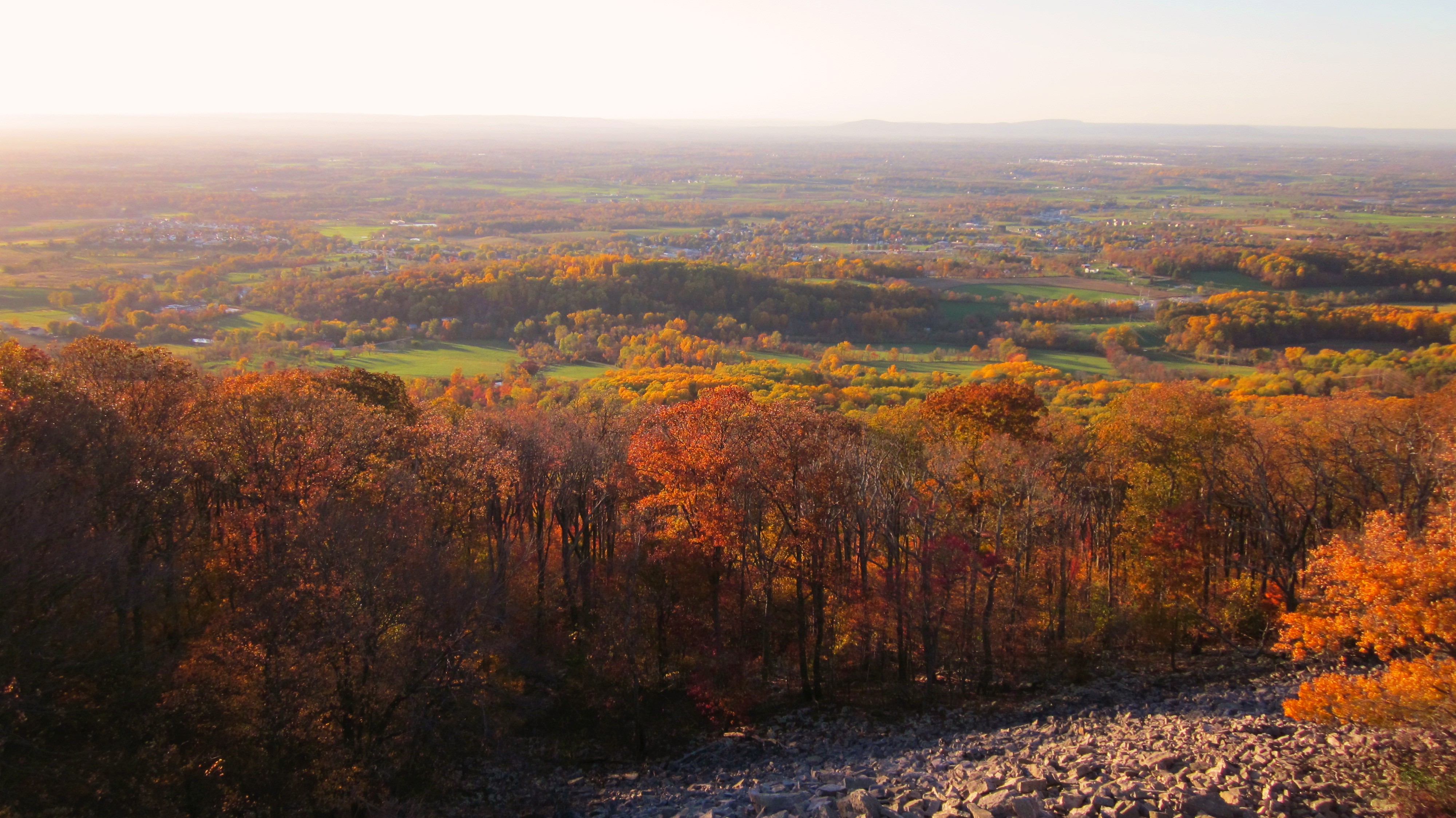
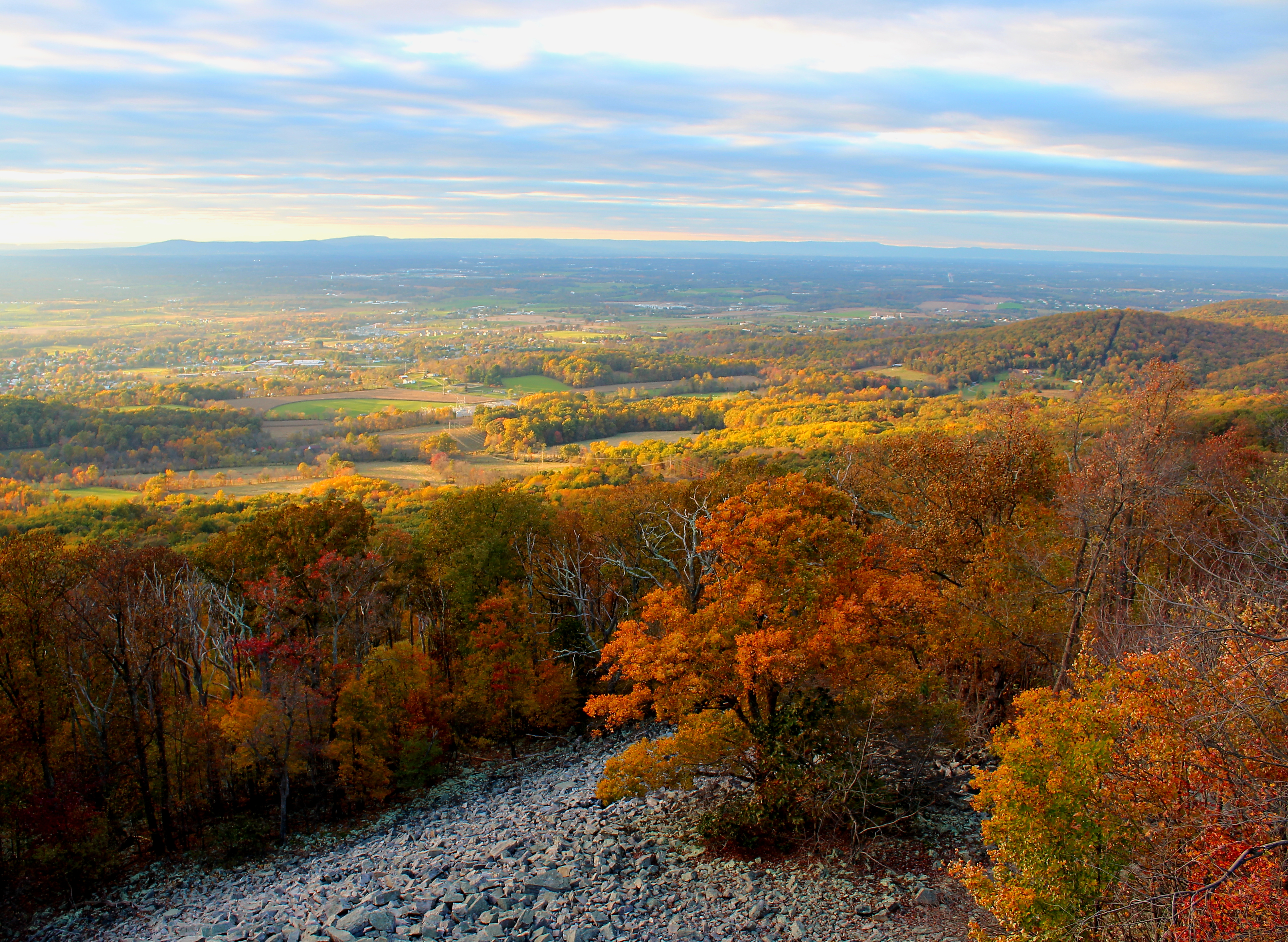
Afternoon view from the Washington Monument on South Mountain, Maryland
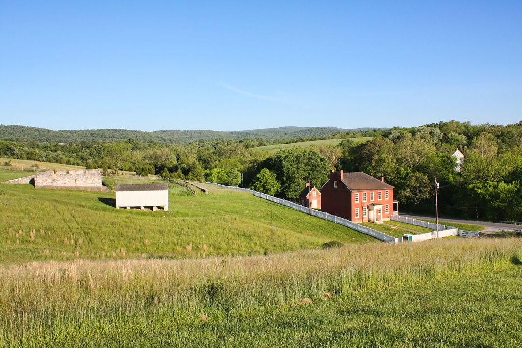
Sherrick Farm
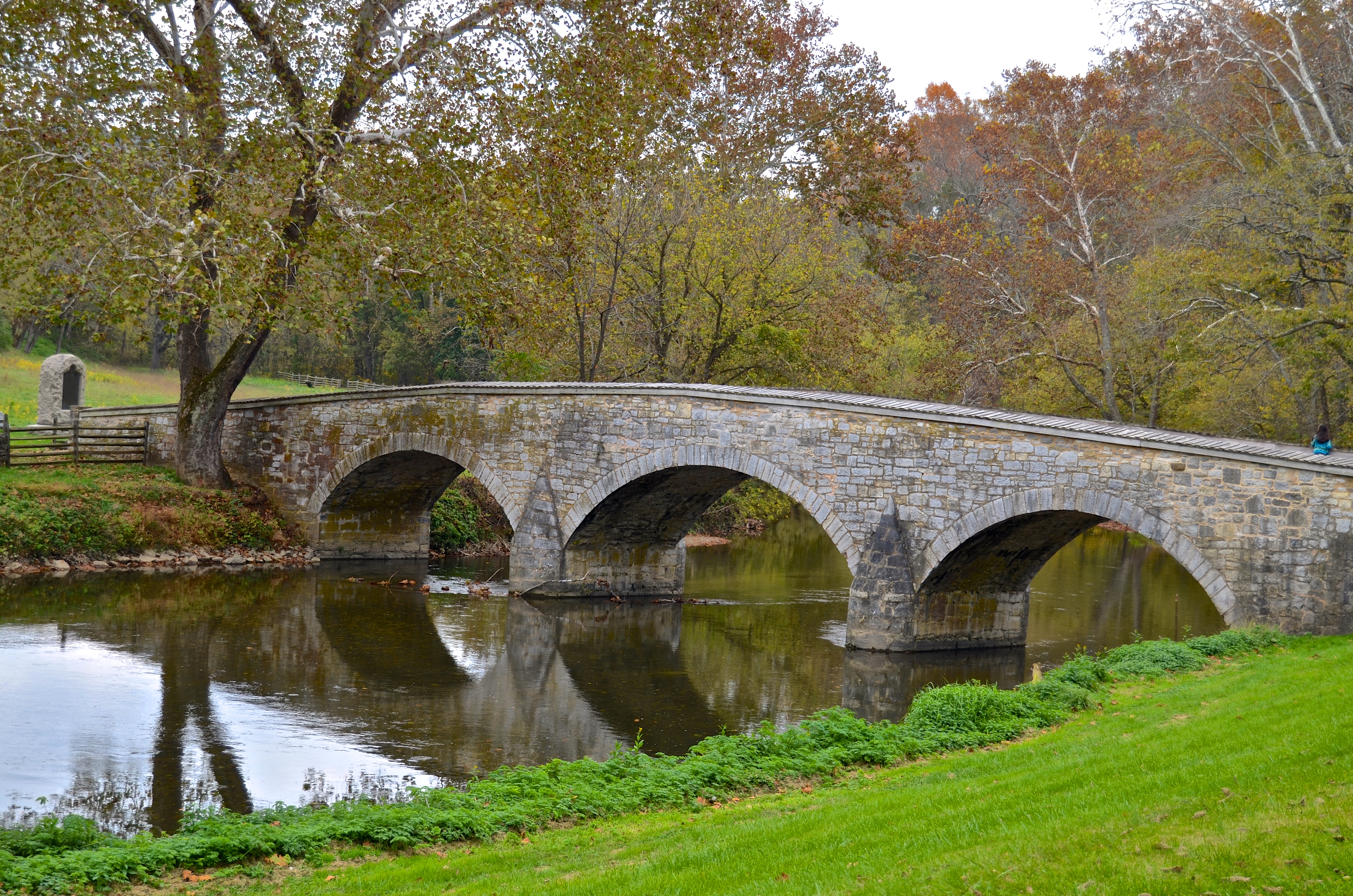
Burnside's Bridge, Antietam Creek
View from the Mumma Farm
Today's Obligatory Snow Picture
Burnside's Bridge

Conococheaque Aqueduct Arch
Greenbriar Lake
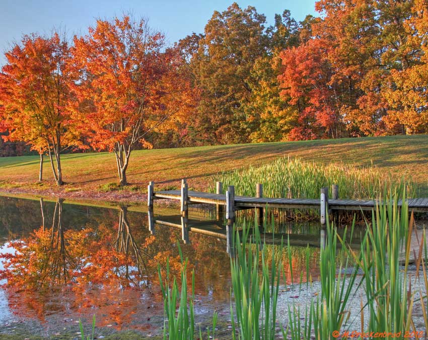
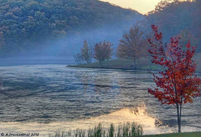
Fall reflections
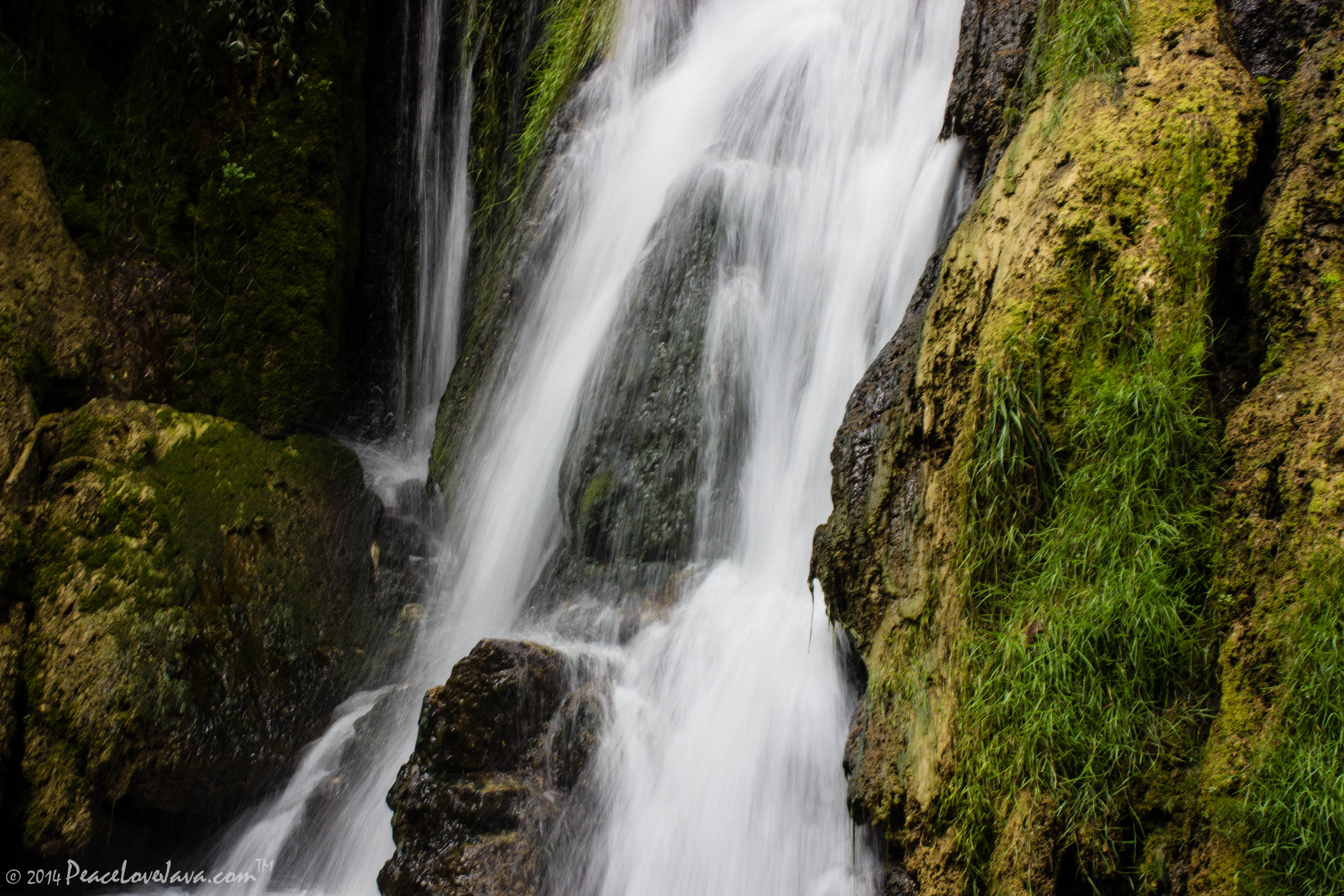
Falling Waters Falls Closeup

Falling Waters Falls

A lakefront gazebo overlooking Greenbrier Lake
0012 C&O Canal Towpath, MD

Greenbrier Lake, Boonsboro Maryland
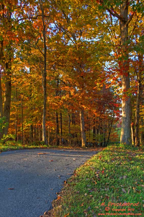
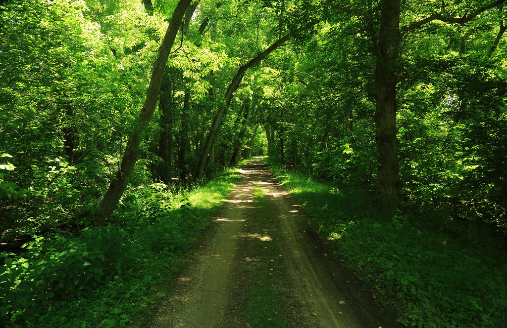
An Autumn Drive

Burnside Bridge night photo, Antietam Battlefield Maryland

Devils Backbone Park, Boonesboro MD silky water

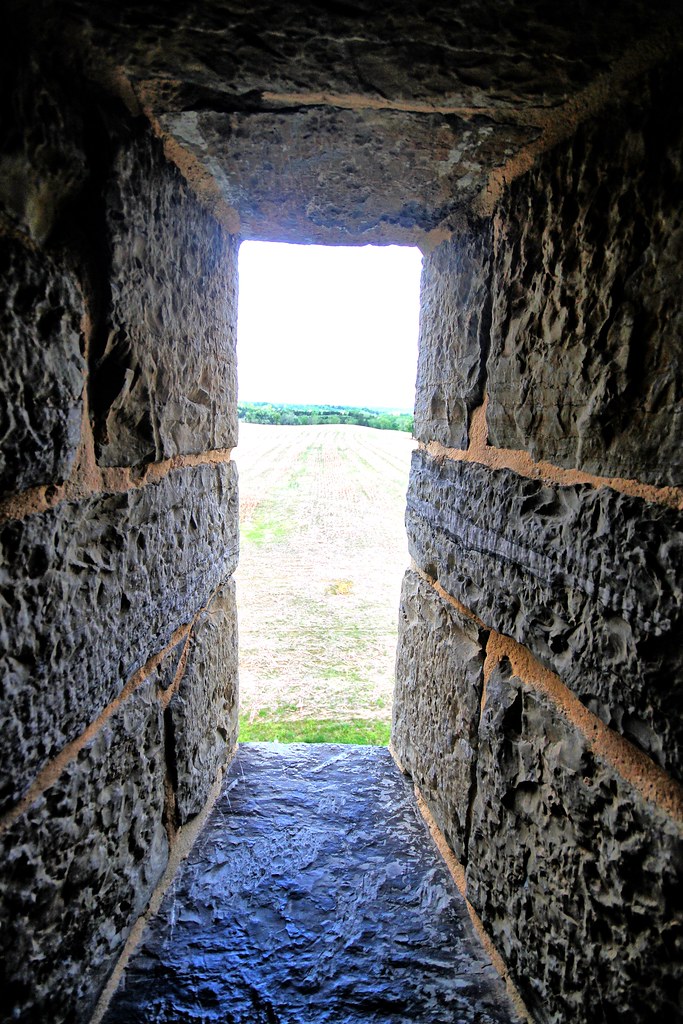
Washington Monument, lower rampart

Wilson's Bridge County Park MD - 2014-07-25 (37)
Washington Monument, rockslide
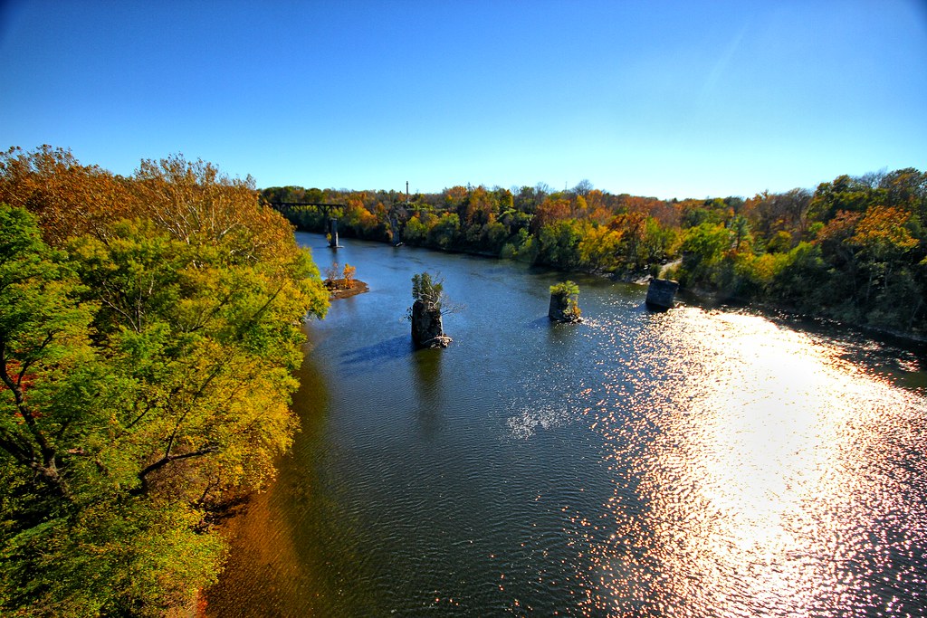
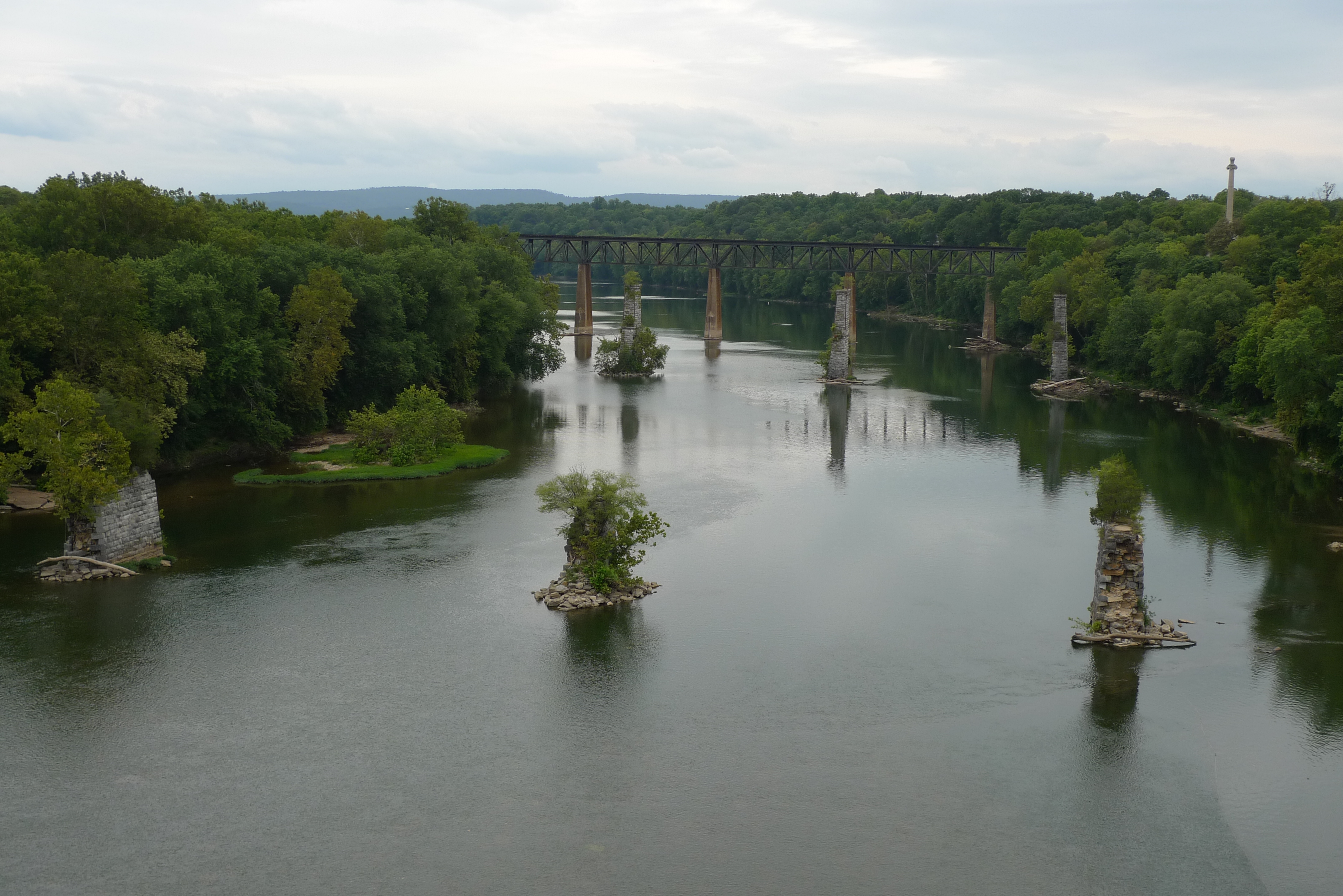
Vista of the Potomac

Antietam Battlefield - 2014-06-19 (78)

ANTIETAM BLOODY LANE SUNDOWN

_RWB6254-Edit-Edit.jpg
Sundown over Greenbrier Lake at Greenbrier State Park, Maryland

Antietam Battlefield - 2010-04-27 (79)
Agriculture is never far away
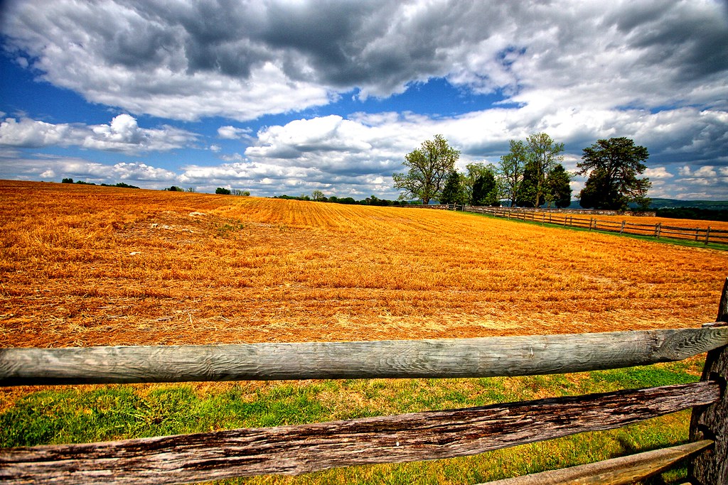
Agriculture is never far away II
Topographic Map of Lappans Rd, St James, MD, USA
Find elevation by address:

Places near Lappans Rd, St James, MD, USA:
Saint James
Lappans Rd, Fairplay, MD, USA
Melody Ln, Hagerstown, MD, USA
Yogi Bear's Jellystone Park™ In Williamsport, Md
Allen Ave, Hagerstown, MD, USA
Funkstown
26, Halfway
Halfway
16516 Virginia Ave
16727 Custer Ct
2, Williamsport
Greenberry Road
310 E Potomac St
299 Us-11
Hagerstown, MD, USA
301 N Westside Ave
Funkstown
Williamsport
10 E Potomac St
17, Hagerstown
Recent Searches:
- Elevation of Corso Fratelli Cairoli, 35, Macerata MC, Italy
- Elevation of Tallevast Rd, Sarasota, FL, USA
- Elevation of 4th St E, Sonoma, CA, USA
- Elevation of Black Hollow Rd, Pennsdale, PA, USA
- Elevation of Oakland Ave, Williamsport, PA, USA
- Elevation of Pedrógão Grande, Portugal
- Elevation of Klee Dr, Martinsburg, WV, USA
- Elevation of Via Roma, Pieranica CR, Italy
- Elevation of Tavkvetili Mountain, Georgia
- Elevation of Hartfords Bluff Cir, Mt Pleasant, SC, USA