Elevation of Travois Trail, Red Feather Lakes, CO, USA
Location: United States > Colorado > Larimer County > Red Feather Lakes >
Longitude: -105.50958
Latitude: 40.834654
Elevation: 2338m / 7671feet
Barometric Pressure: 76KPa
Elevation Map:
Satellite Map:
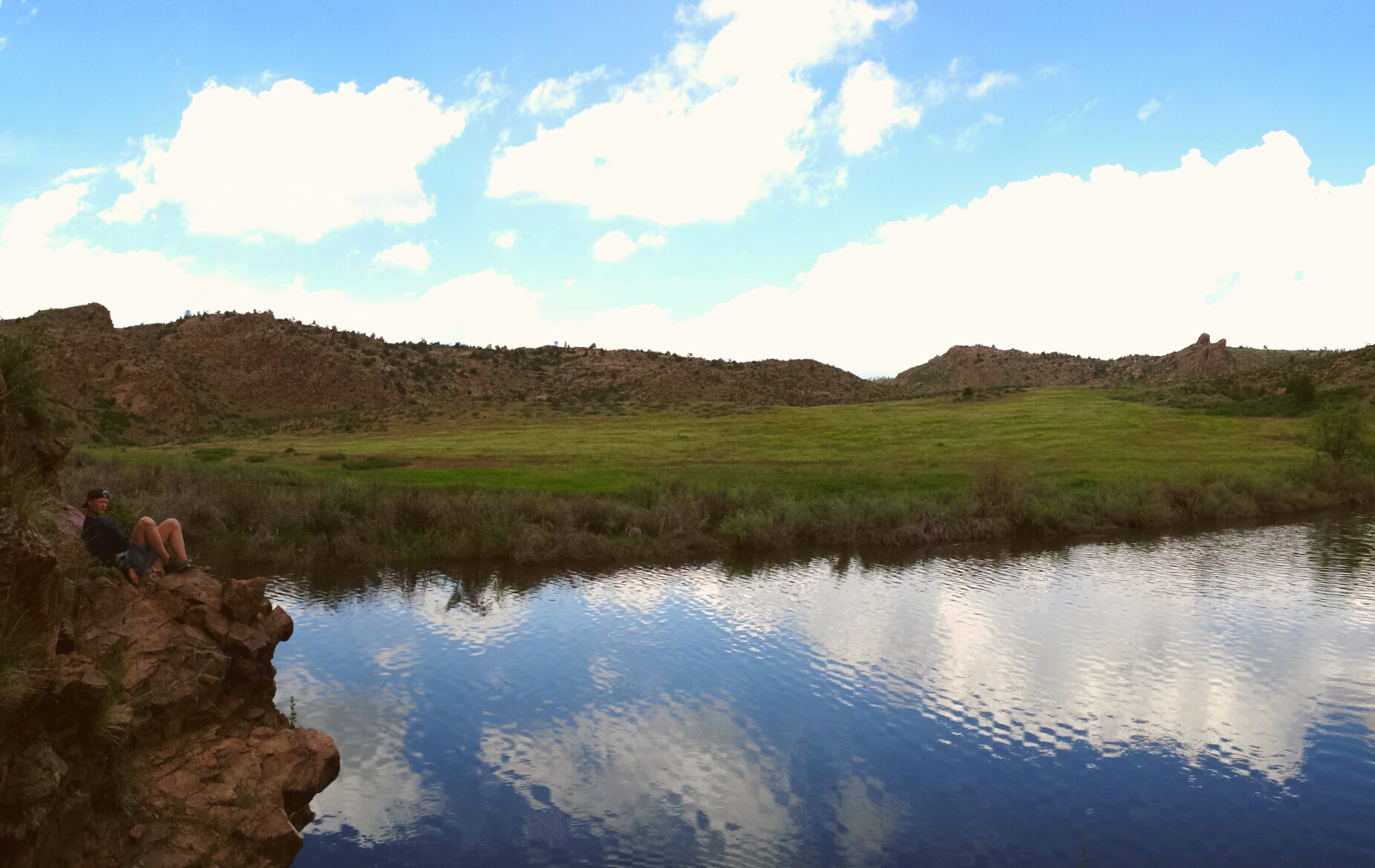
Related Photos:
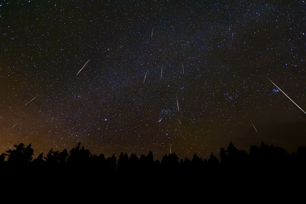
A Christmas Meteor Light Show: The 2010 Geminids

Trail in the fall

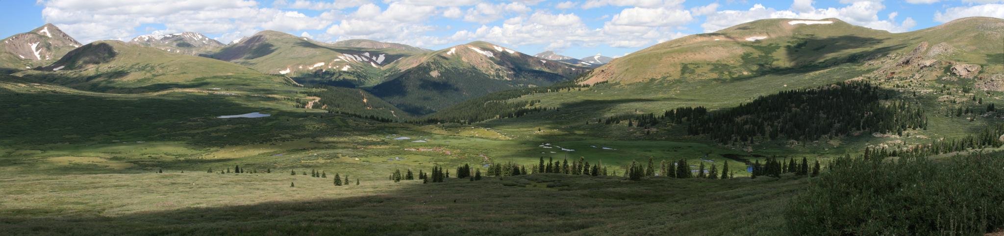
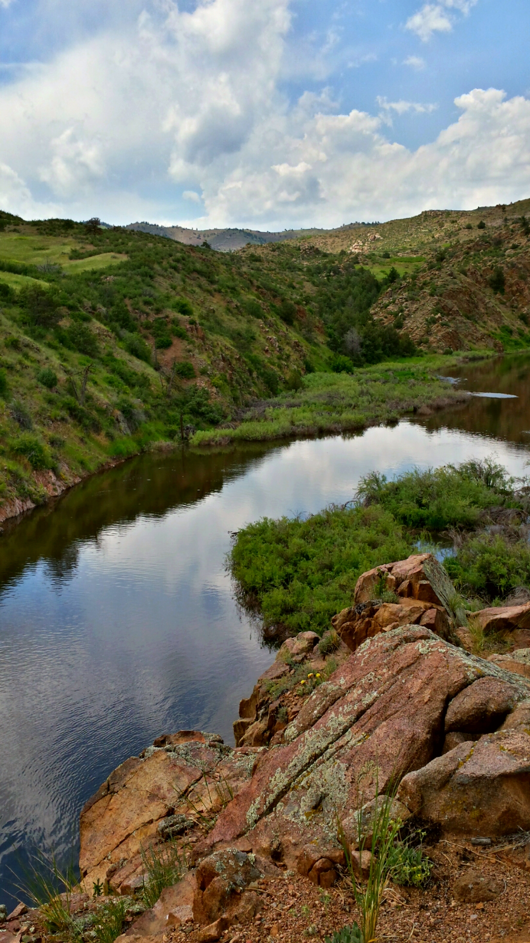
I love this view

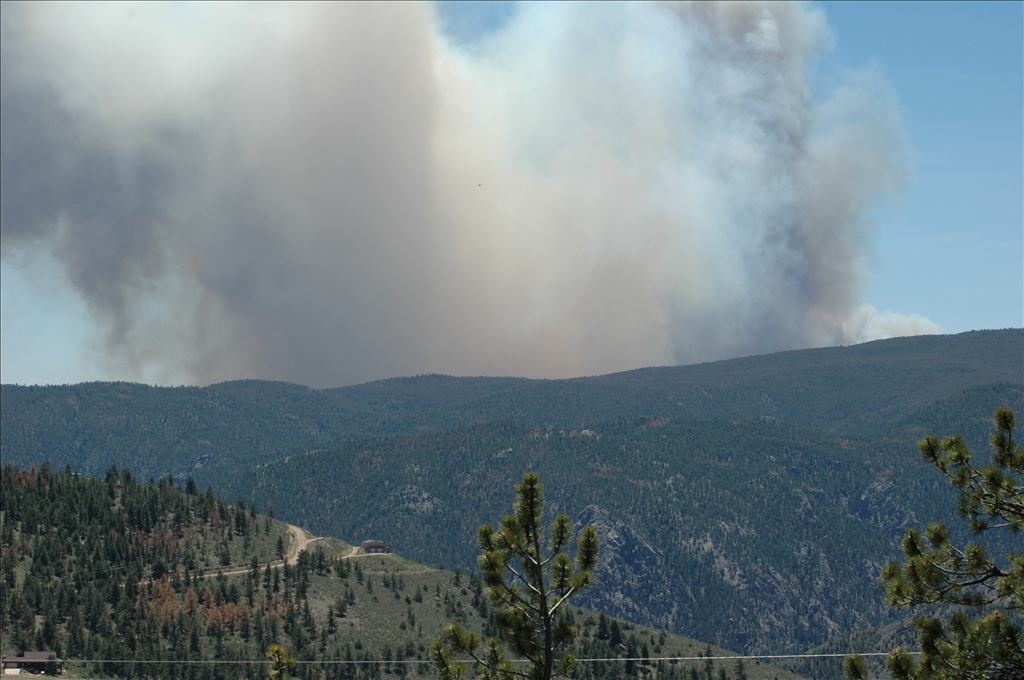
High Park Wildfire

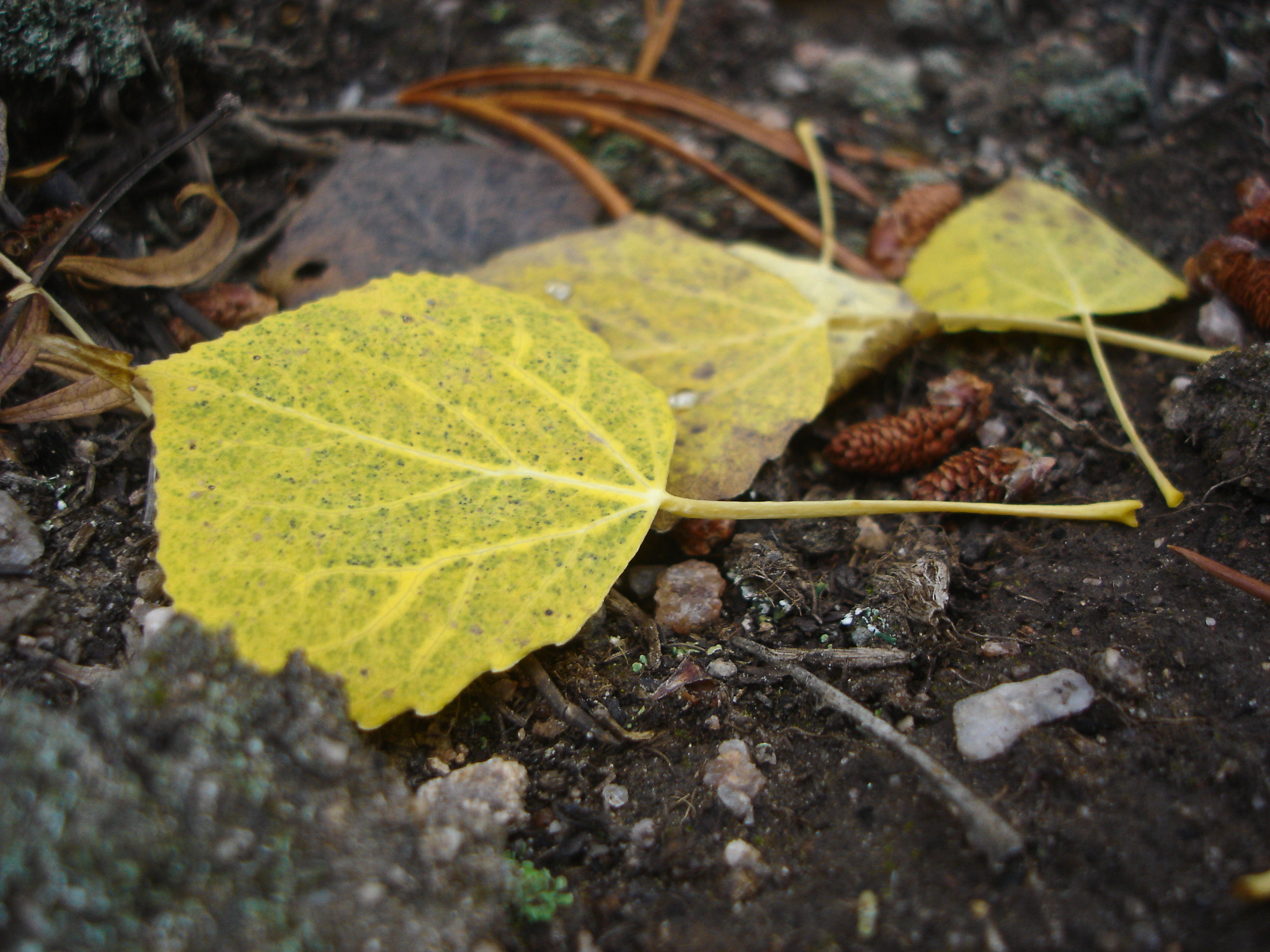
Aspen Leaf floating

Aspen in the sun
View from Mt Bierstadt
Aspen Leaves

Apsen against rock
See More, Go To Flickr & Search "DrShawnboy" - People
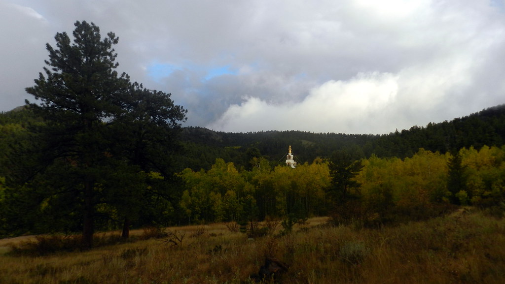
The Great Stupa of Dharmakaya, Which Liberates Upon Seeing -- Red Feather Lake, CO

Photo By Jeff Julian

20110924-_DSC9160
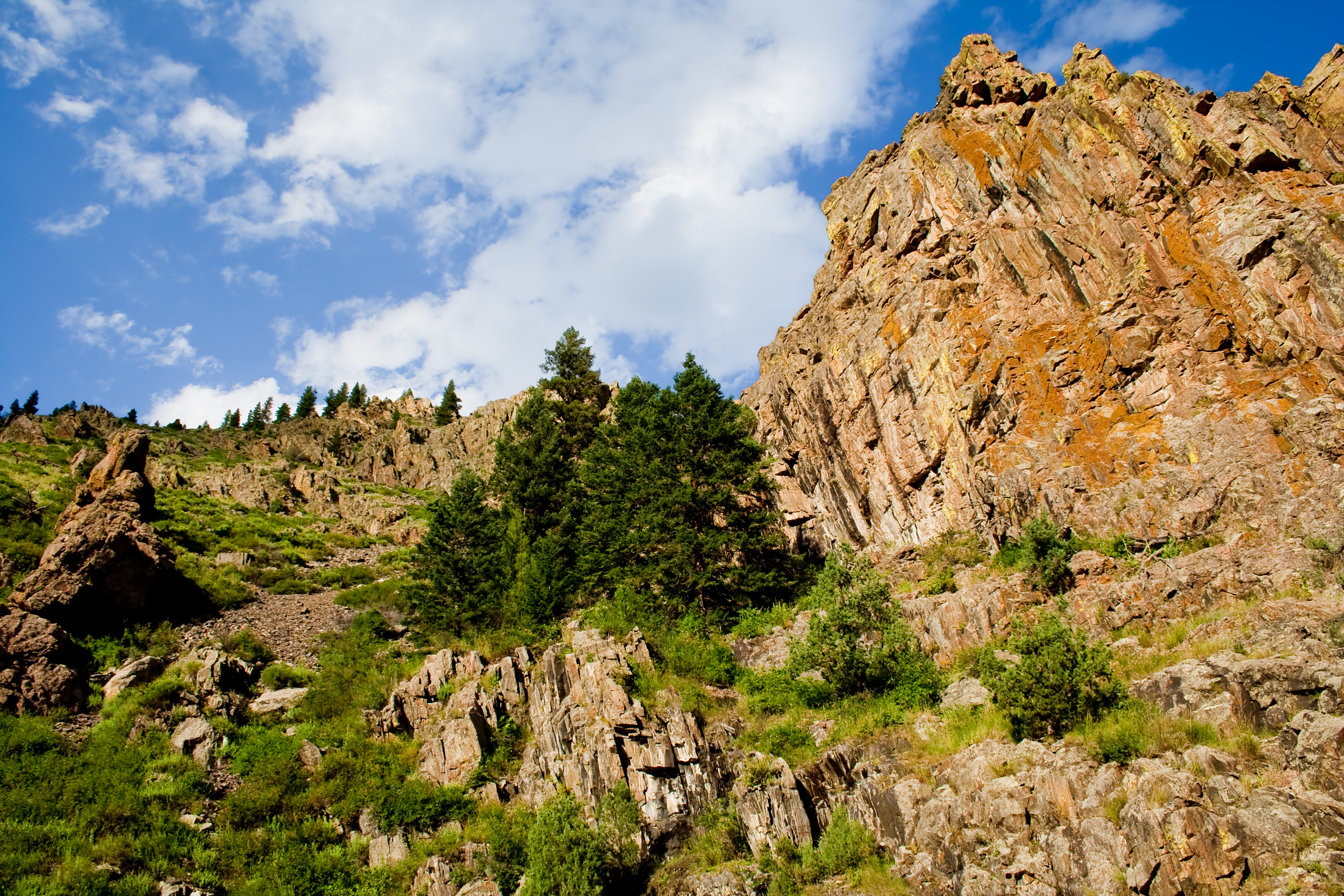
Mountaintop 6
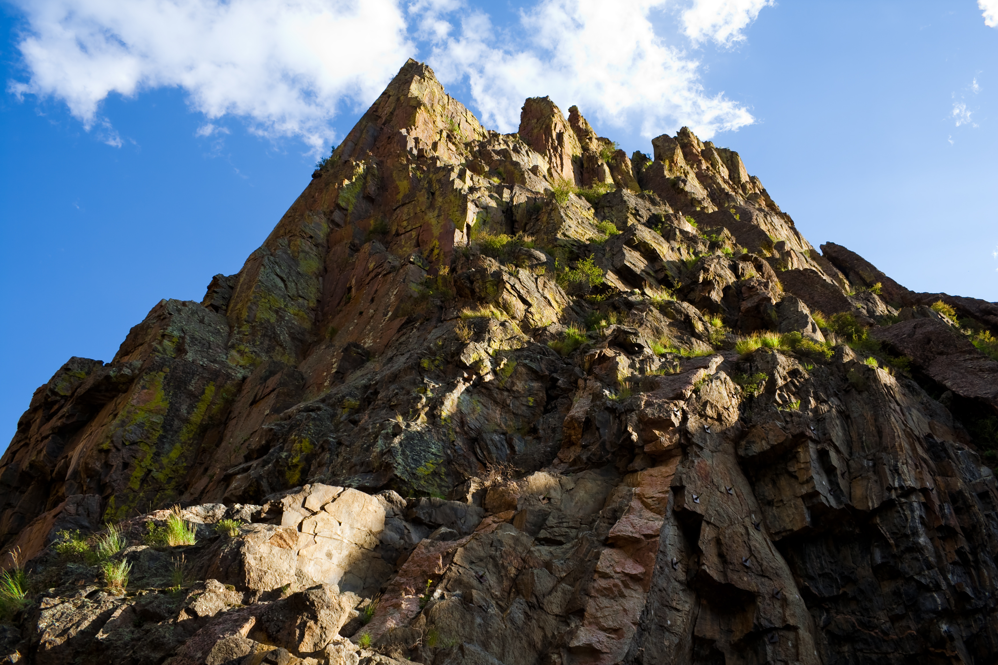
Mountaintop 7

Last momths trip to #ShambalaMountainCenter
Mount Margaret Trail 10/3
Mount Margaret Trail 10/3
cabin pan

20111120-0168-Red Feather Lakes
All up
Aspen magic
Off-roading 6-23-14
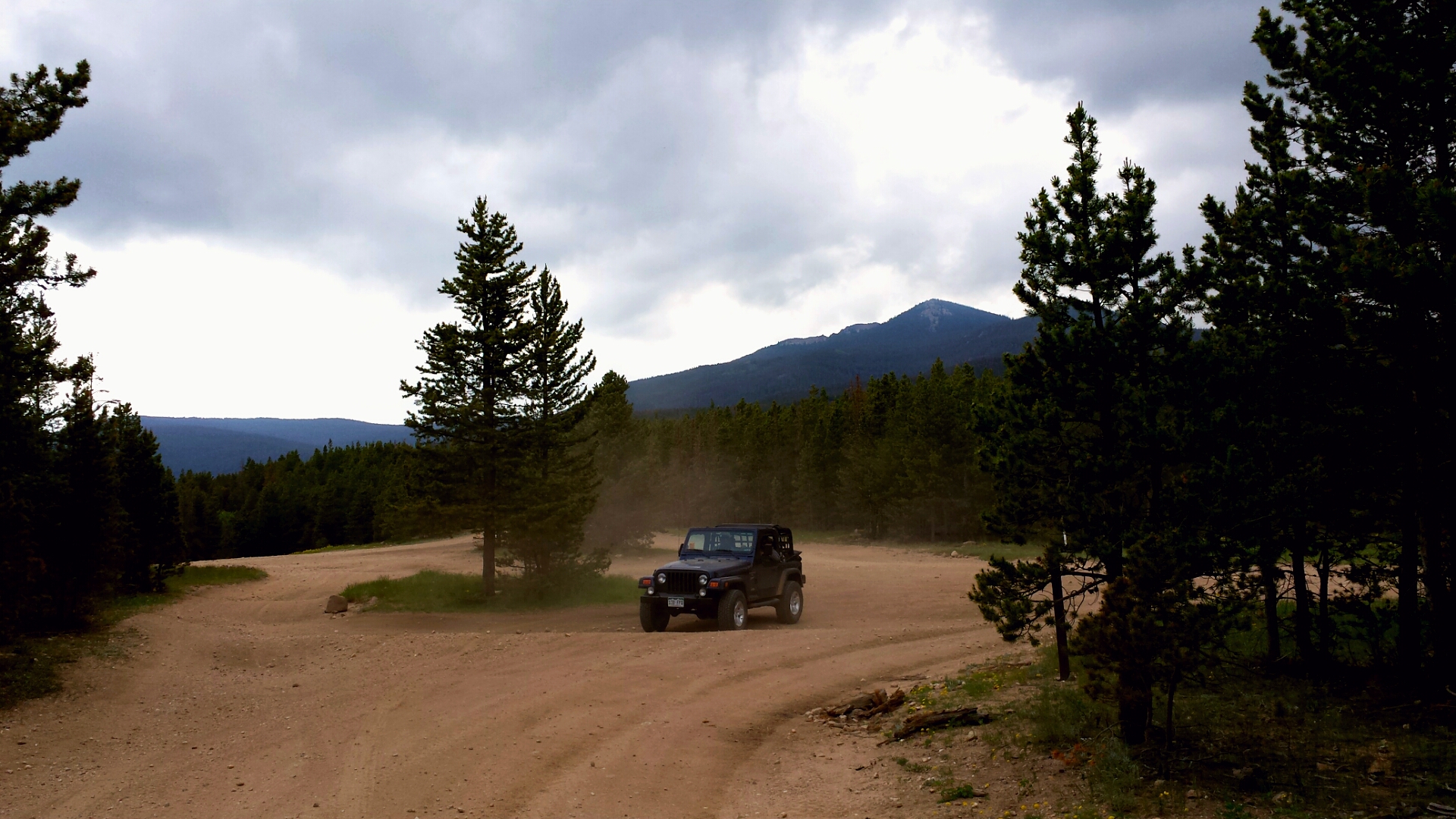
Off-roading 6-23-14
Off-roading 6-23-14

Off-roading 6-23-14
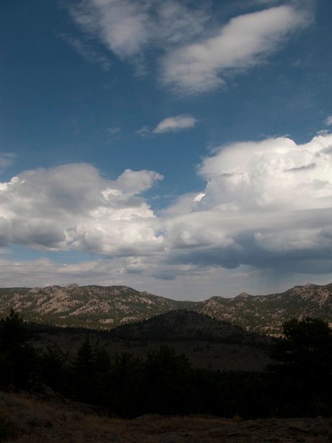
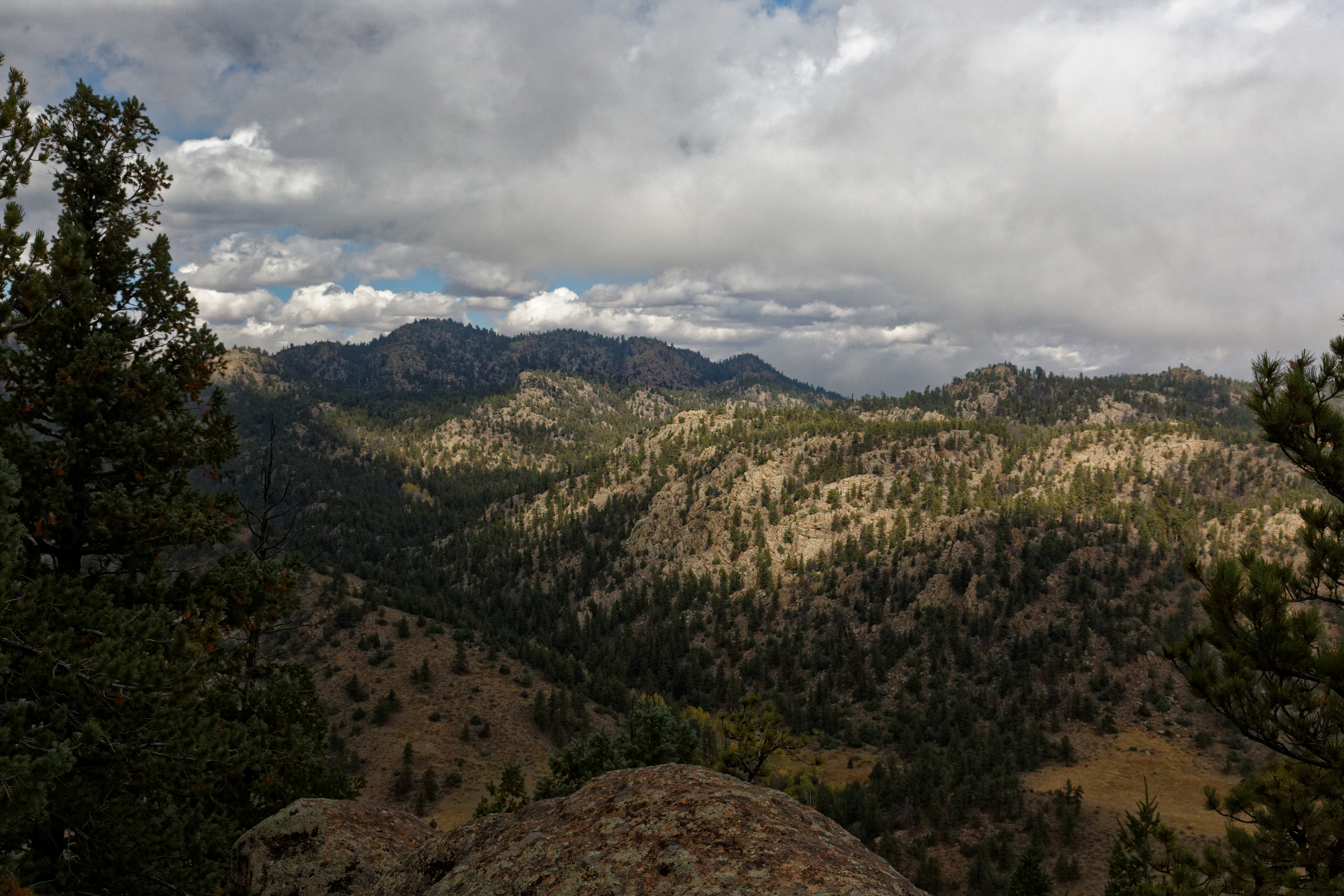
Weathers changing
Topographic Map of Travois Trail, Red Feather Lakes, CO, USA
Find elevation by address:

Places near Travois Trail, Red Feather Lakes, CO, USA:
Dowdy Lake Campground
2321 Deer Park Dr
650 Nokomis Rd
23628 Red Feather Lakes Rd
Red Feather Lakes
County Road 67j
20880 Co Rd 80c
444 Deadman Rd
North Co Road 59
1072 Tesuque Trail
500 Elk Mountain Rd
12 Tonkawa Ct
148 Tami Rd
141 Tami Rd
71 Sanpet Ct
879 Chiricahua Cir
850 Chiricahua Cir
240 Chiricahua Cir
193 Tiny Bob Rd
188 Swift Deer Rd
Recent Searches:
- Elevation of Corso Fratelli Cairoli, 35, Macerata MC, Italy
- Elevation of Tallevast Rd, Sarasota, FL, USA
- Elevation of 4th St E, Sonoma, CA, USA
- Elevation of Black Hollow Rd, Pennsdale, PA, USA
- Elevation of Oakland Ave, Williamsport, PA, USA
- Elevation of Pedrógão Grande, Portugal
- Elevation of Klee Dr, Martinsburg, WV, USA
- Elevation of Via Roma, Pieranica CR, Italy
- Elevation of Tavkvetili Mountain, Georgia
- Elevation of Hartfords Bluff Cir, Mt Pleasant, SC, USA