Elevation of Co Rd 80C, Livermore, CO, USA
Location: United States > Colorado > Larimer County > Livermore >
Longitude: -105.53926
Latitude: 40.932325
Elevation: 2443m / 8015feet
Barometric Pressure: 75KPa
Elevation Map:
Satellite Map:
Related Photos:
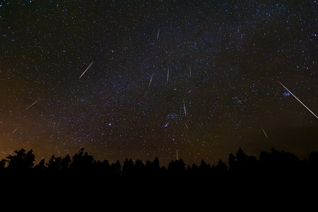
A Christmas Meteor Light Show: The 2010 Geminids

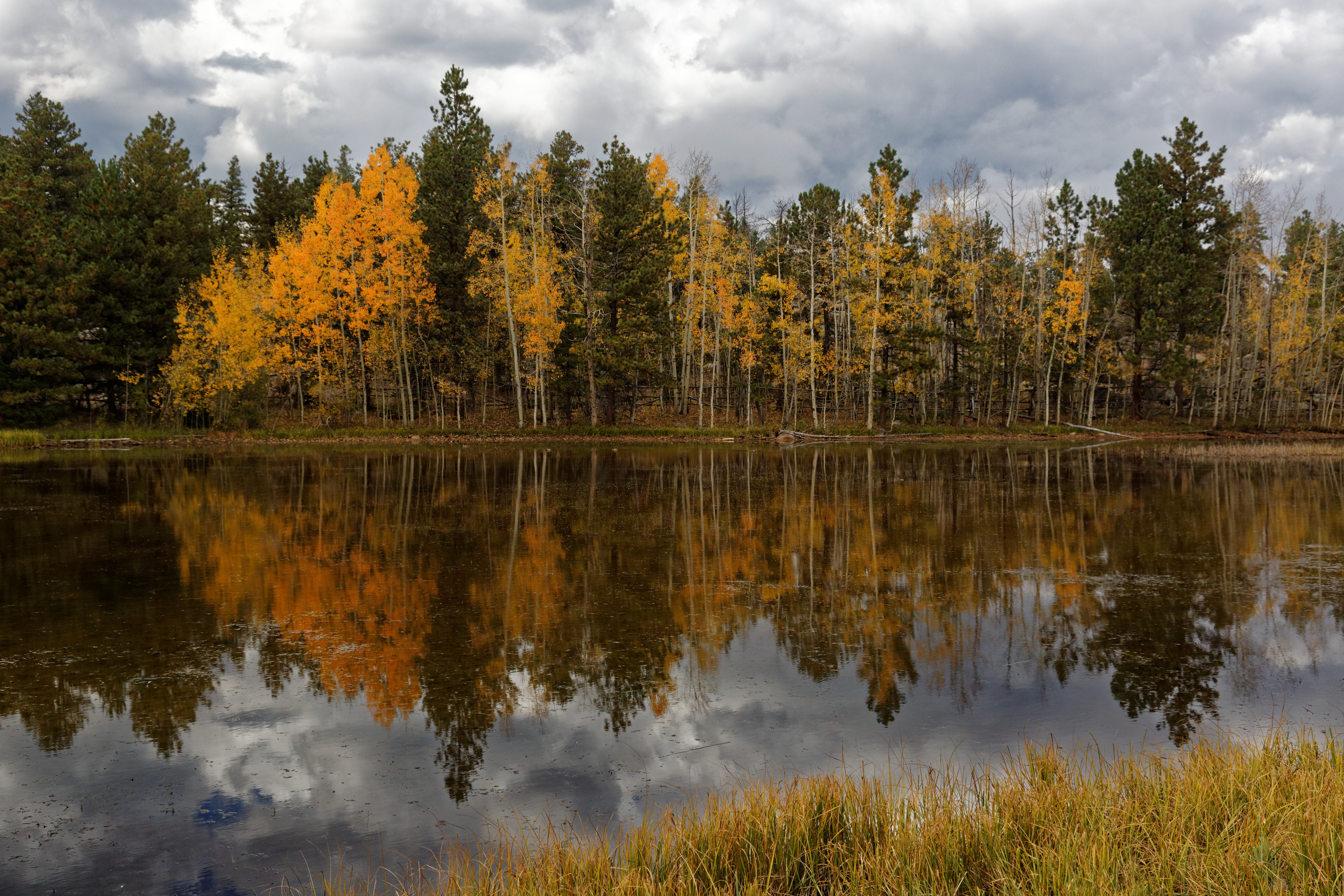
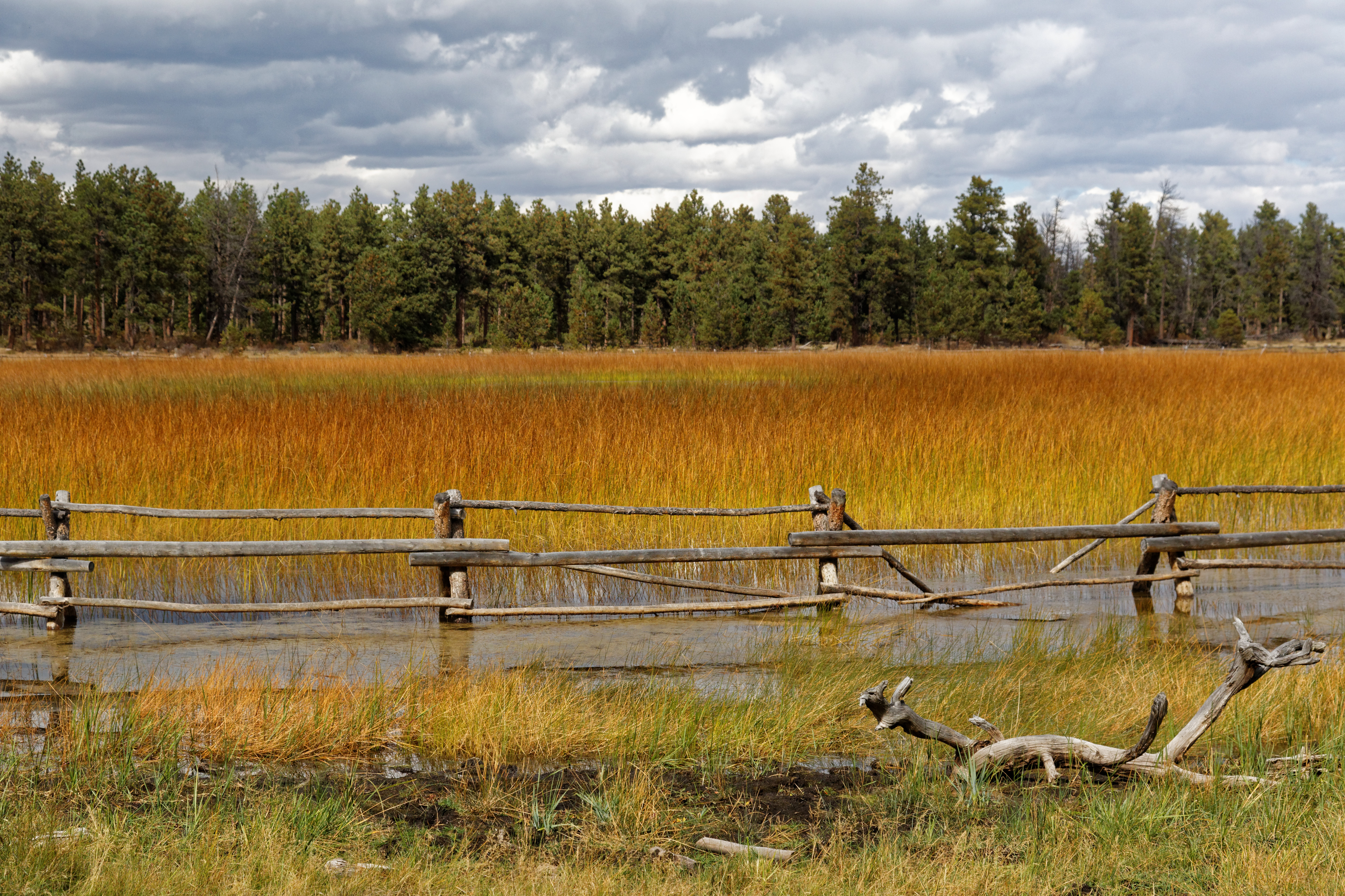
Trail in the fall
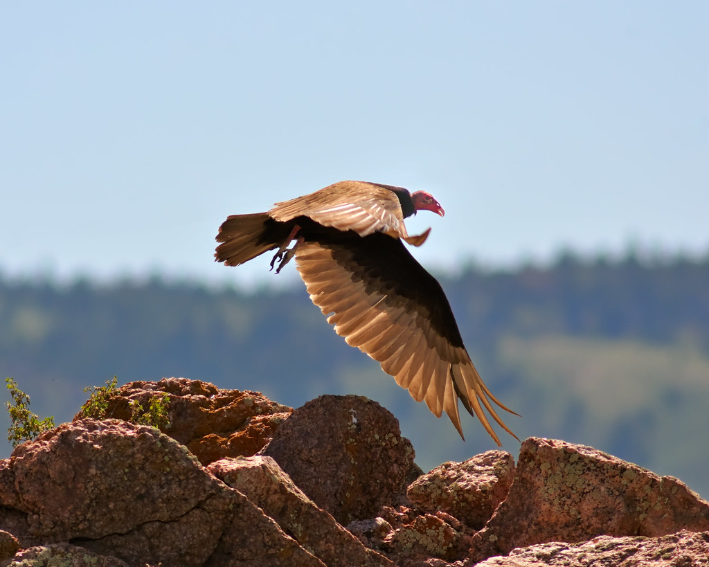
Turkey Vulture Takeoff

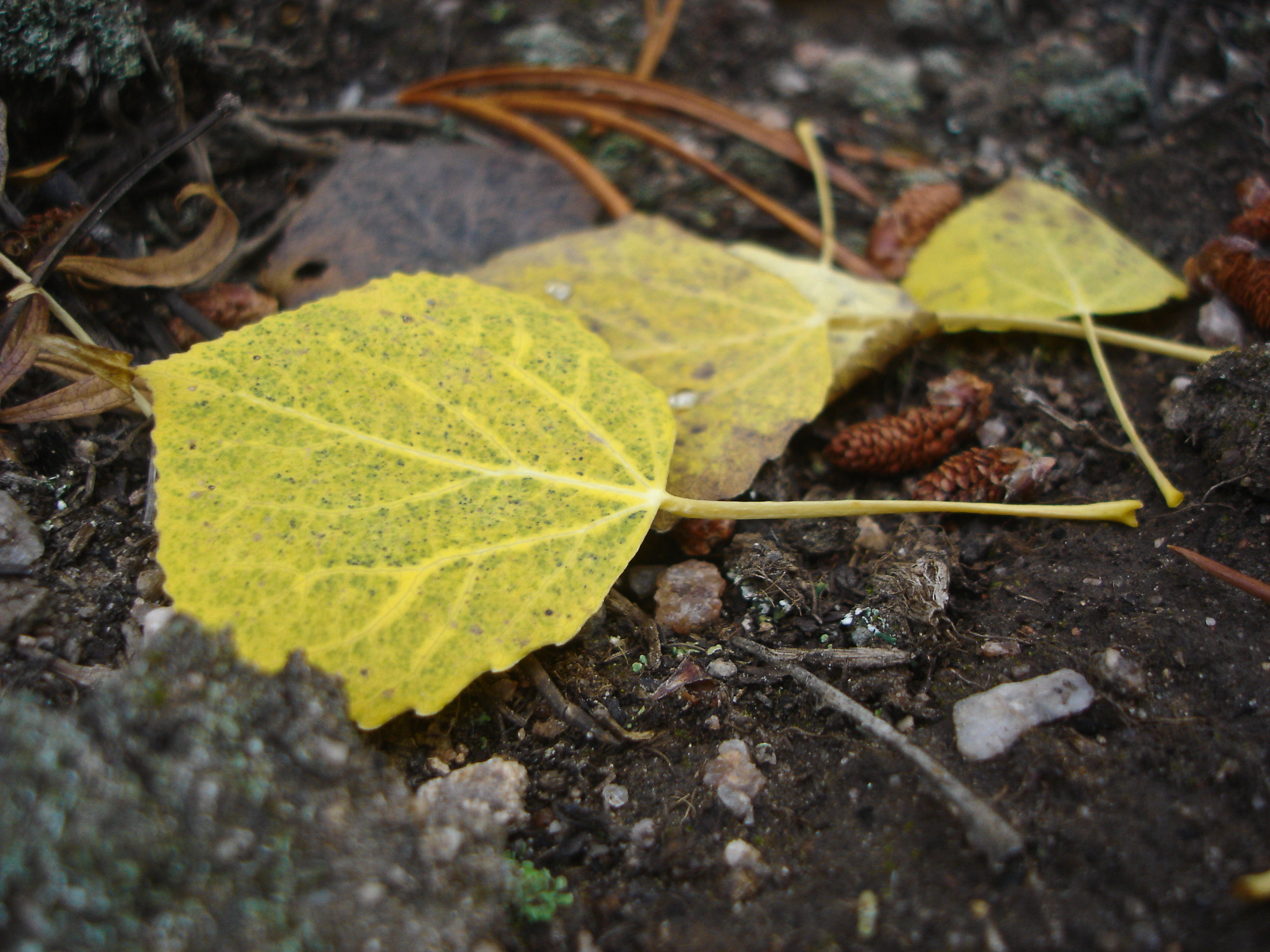
Aspen Leaf floating

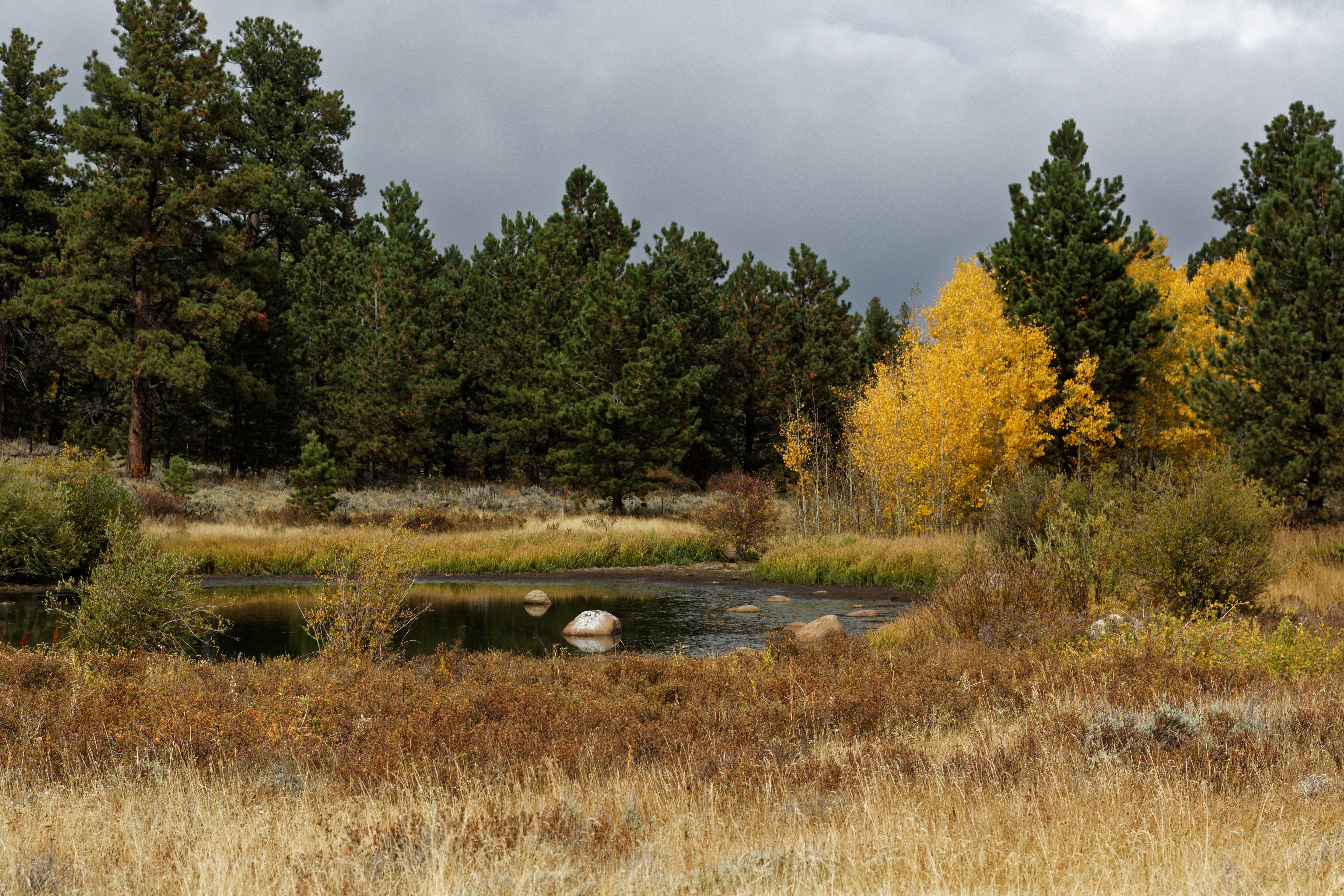
Aspen in the sun
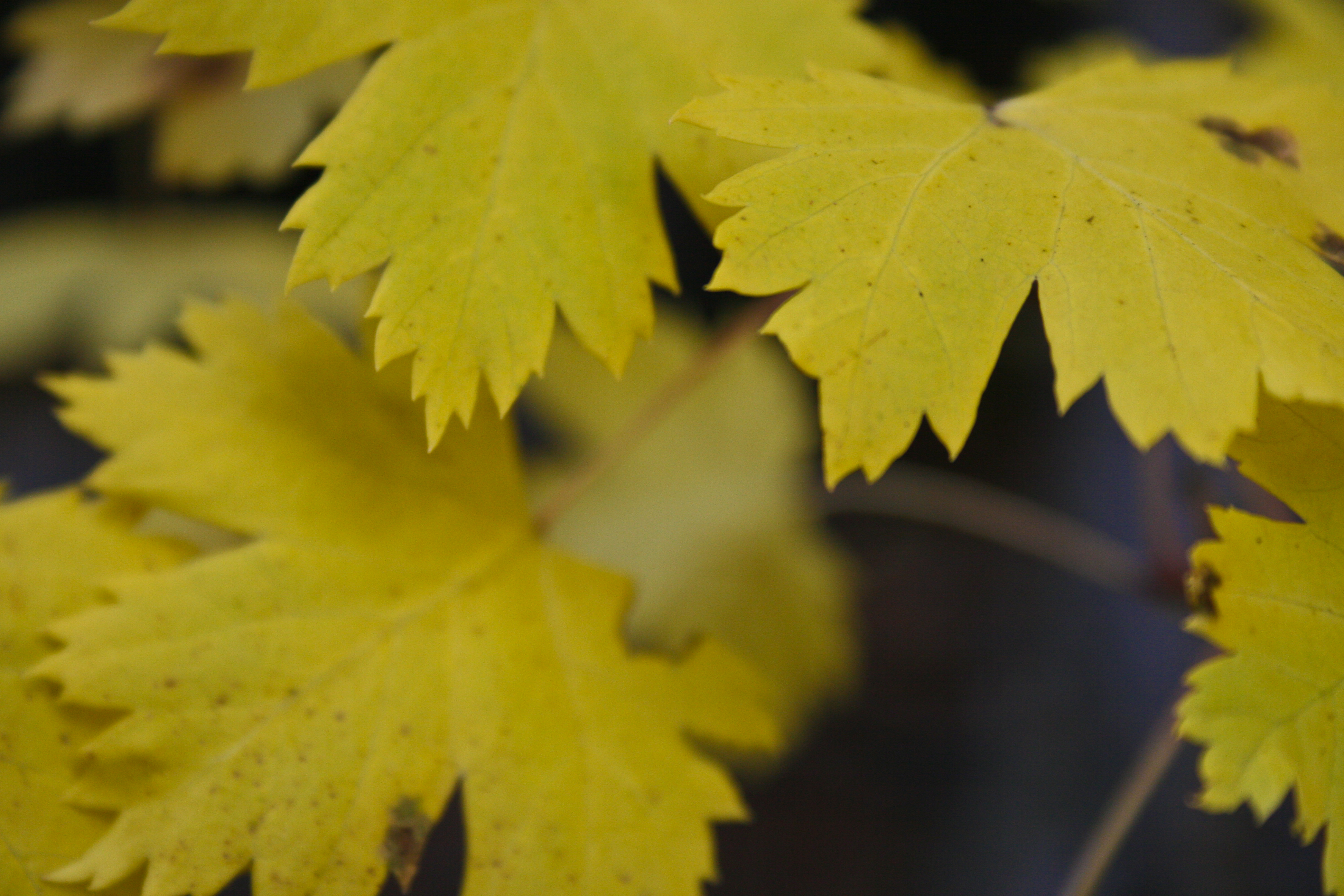
Aspen Leaves

Apsen against rock

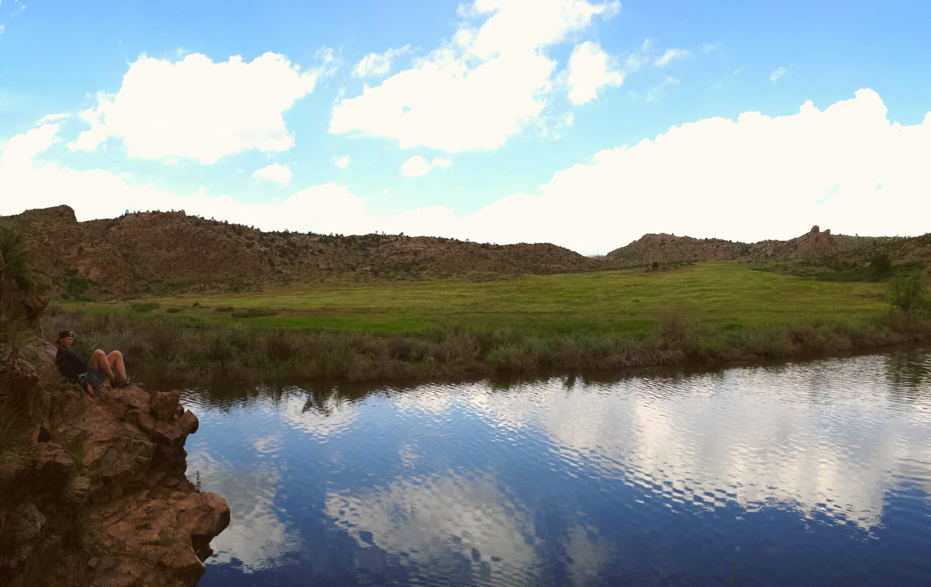
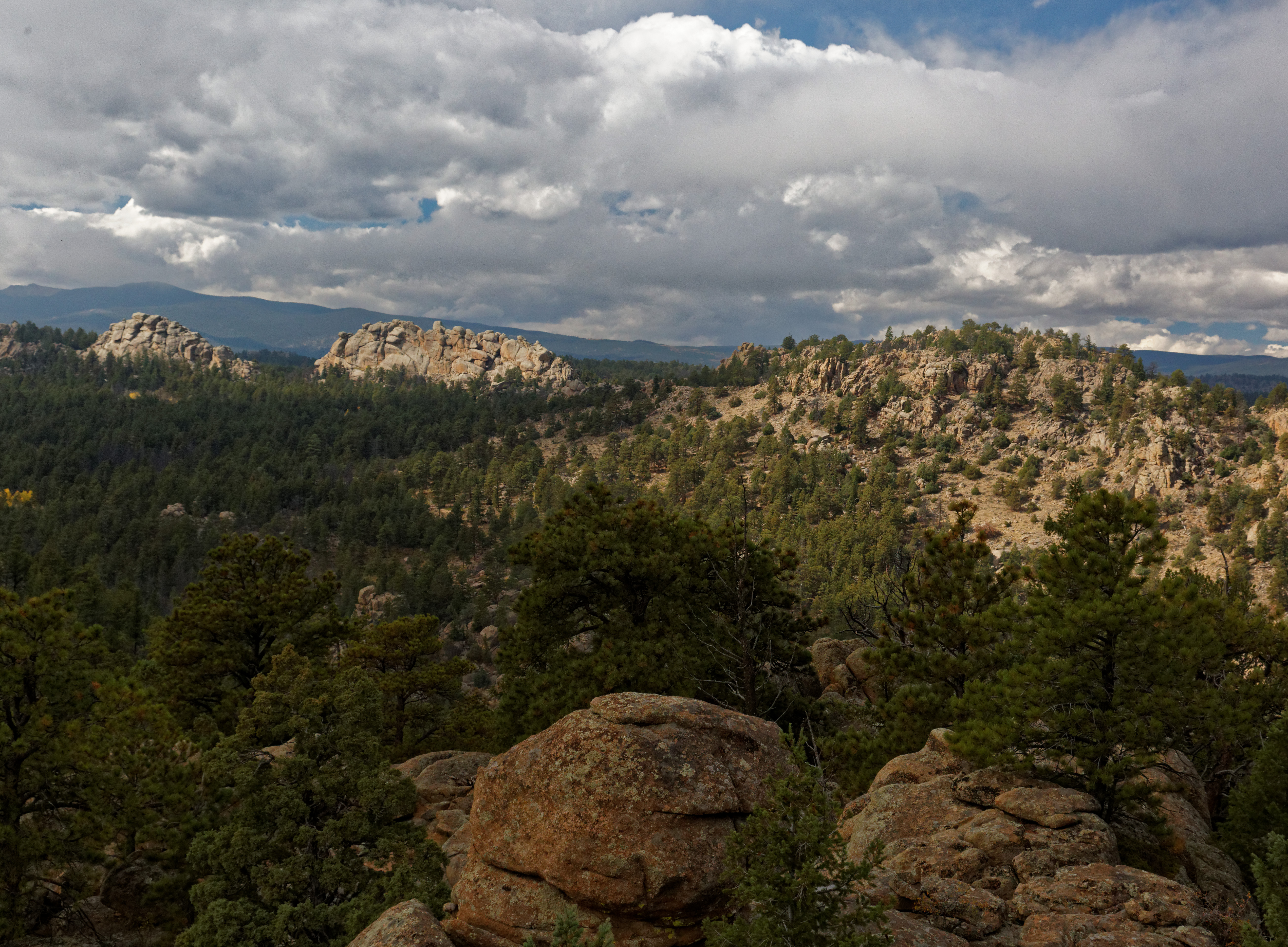
I love this view

View From Cabin
Name this bush?

View of O'Brien Cabin

View of the house from the side
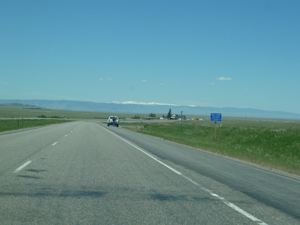
Views from the road from Denver, CO to Rock Springs, Wy

View Overlooking O'Brien Cabin
Views from the road from Denver, CO to Rock Springs, Wy

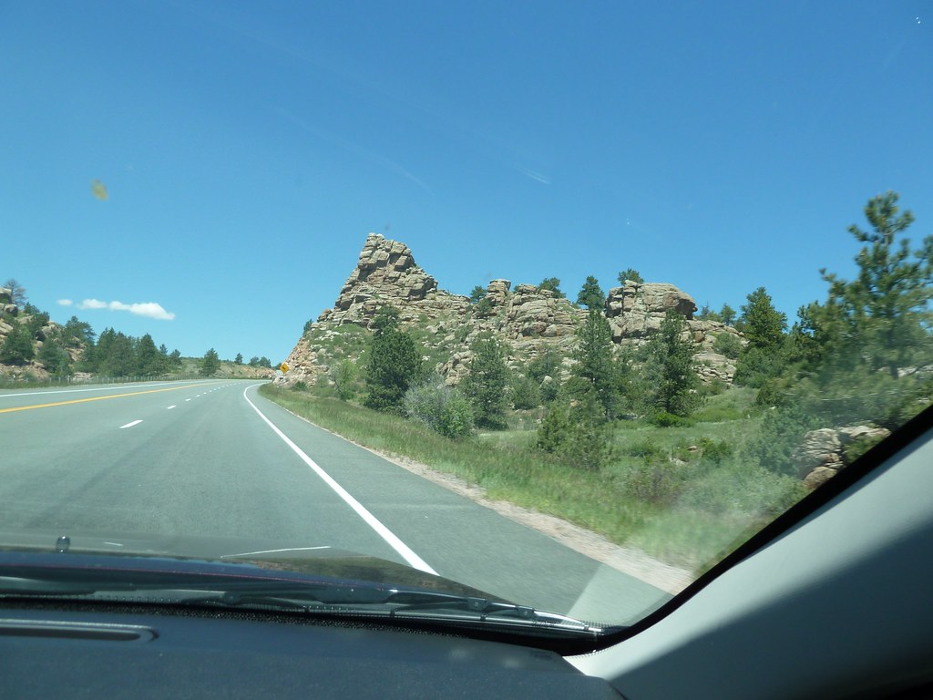
Wyoming Basin and Range

PRE_2009-11-13-081233
Off-roading 6-23-14

Photo By Jeff Julian

Driving through the foothills of Wyoming @CUSD @USGBC #greenapple bus tour
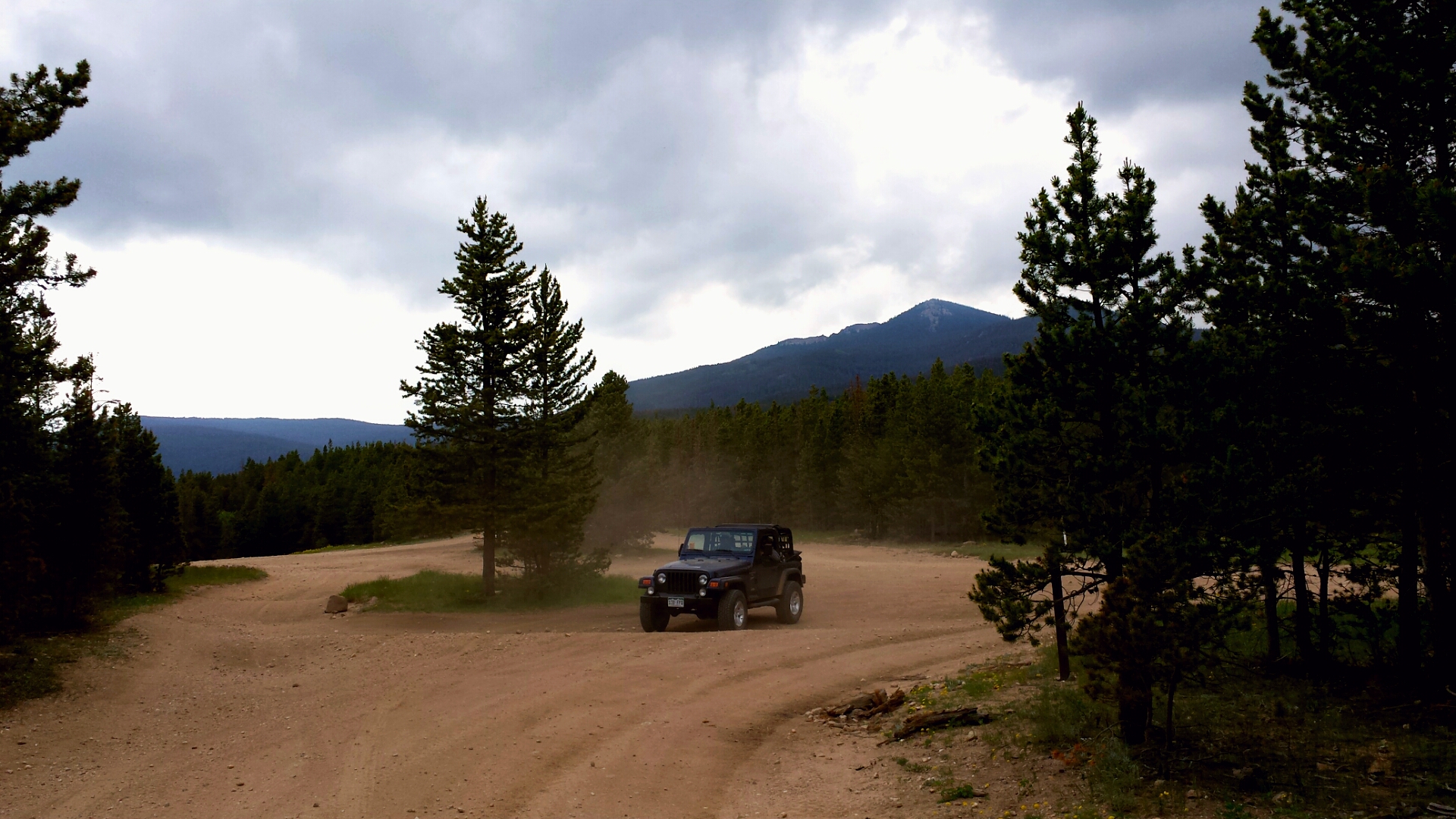
Off-roading 6-23-14
Off-roading 6-23-14

Off-roading 6-23-14
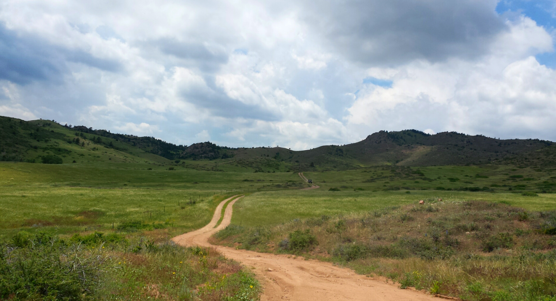
Off-roading 6-23-14

Last momths trip to #ShambalaMountainCenter
Mount Margaret Trail 10/3
Mount Margaret Trail 10/3
Mount Margaret Trail 10/3

20111120-0005-Red Feather Lakes
Mount Margaret Trail 10/3

Mt. Margaret Trail
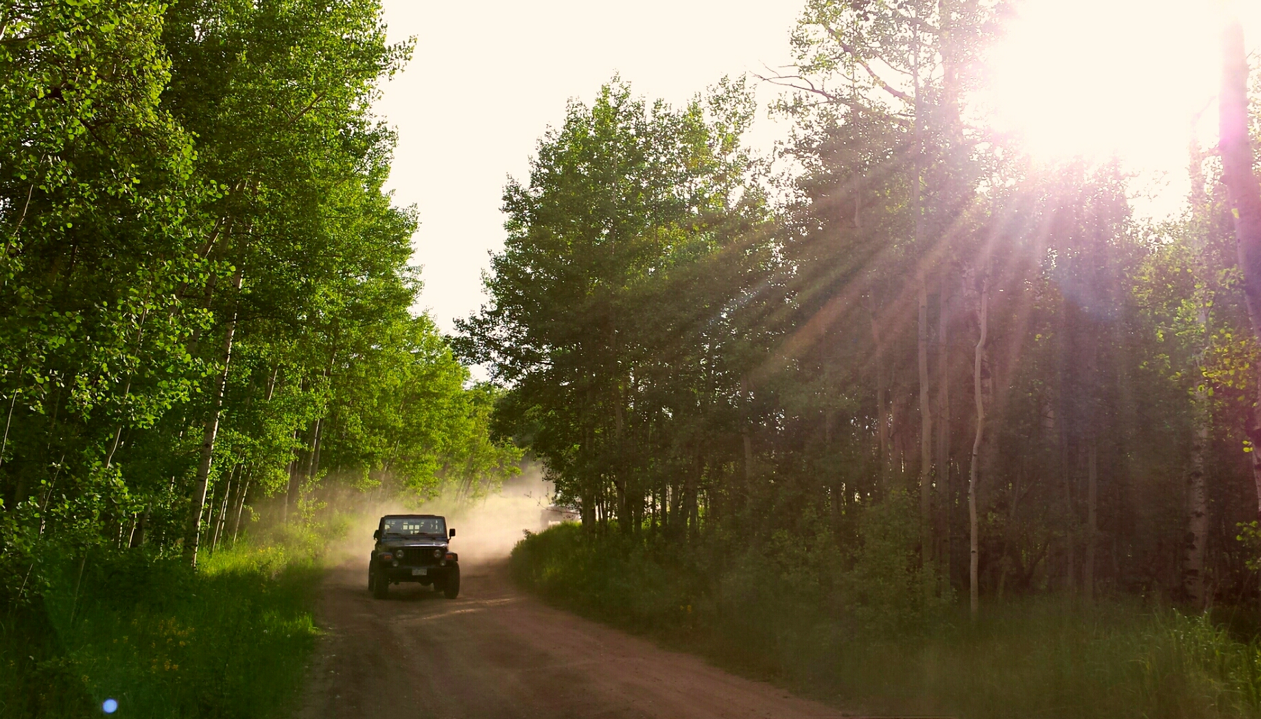
Off-roading 6-23-14
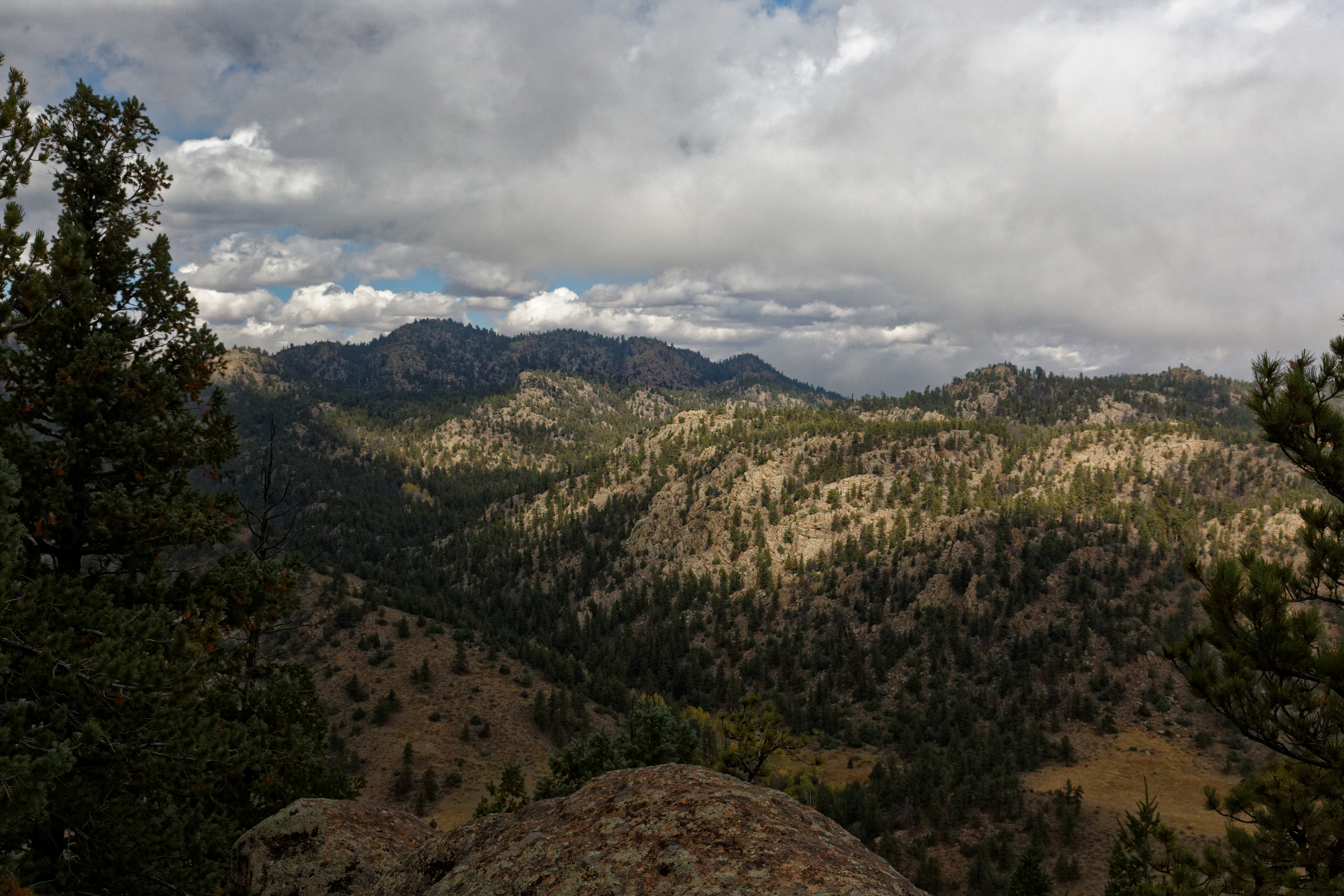
Mount Margaret Trail 10/3

Apache Lake,"Small Mountian Island"
Topographic Map of Co Rd 80C, Livermore, CO, USA
Find elevation by address:

Places near Co Rd 80C, Livermore, CO, USA:
2321 Deer Park Dr
500 Elk Mountain Rd
North Co Road 59
440 Travois Trail
12 Tonkawa Ct
231 Chickasaw Ct
148 Tami Rd
188 Swift Deer Rd
650 Nokomis Rd
141 Tami Rd
826 Osage Trail
1762 Osage Trail
5800 Ottawa Way
Red Feather Lakes
193 Tiny Bob Rd
Dowdy Lake Campground
County Road 67j
528 Micmac Dr
23628 Red Feather Lakes Rd
336 Micmac Dr
Recent Searches:
- Elevation of Corso Fratelli Cairoli, 35, Macerata MC, Italy
- Elevation of Tallevast Rd, Sarasota, FL, USA
- Elevation of 4th St E, Sonoma, CA, USA
- Elevation of Black Hollow Rd, Pennsdale, PA, USA
- Elevation of Oakland Ave, Williamsport, PA, USA
- Elevation of Pedrógão Grande, Portugal
- Elevation of Klee Dr, Martinsburg, WV, USA
- Elevation of Via Roma, Pieranica CR, Italy
- Elevation of Tavkvetili Mountain, Georgia
- Elevation of Hartfords Bluff Cir, Mt Pleasant, SC, USA