Elevation of Tami Rd, Red Feather Lakes, CO, USA
Location: United States > Colorado > Larimer County > Red Feather Lakes >

Longitude: -105.63610

Latitude: 40.8453121

Elevation: 2603m / 8540feet

Barometric Pressure: 74KPa

Elevation Map:

elevation map of Tami Rd, Red Feather Lakes, CO, USA
Satellite Map:

Satellite map of Tami Rd, Red Feather Lakes, CO, USA
Related Photos:

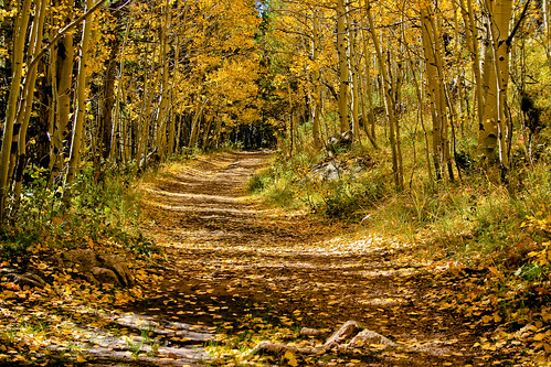
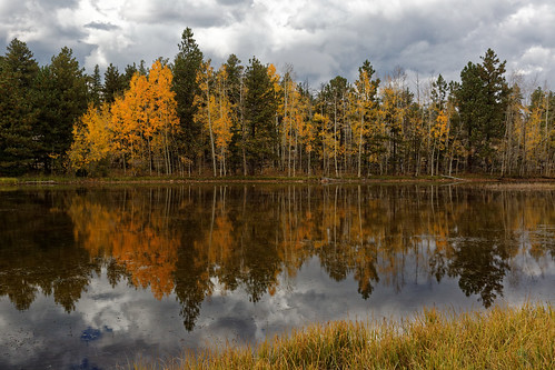
colorado path trail aspen
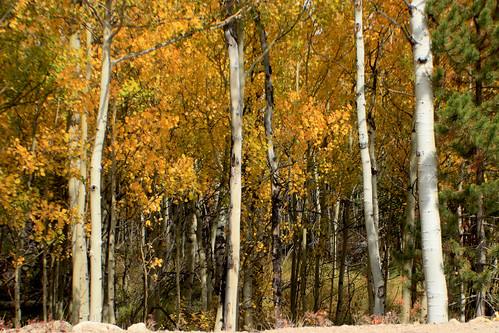
Trail in the fall
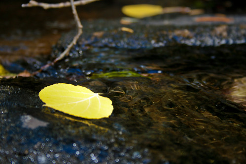
water colorado stream aspen
Aspen Leaf floating
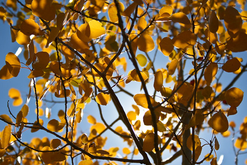
colorado aspen
Aspen in the sun
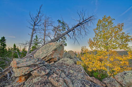
blue trees sunset green fall leaves yellow pine nikon colorado rocks aspen ponderosapine redfeatherlakes d90 deadmanroad
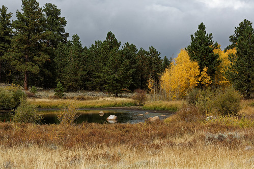
Fall Colors
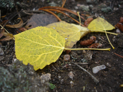
fall leaves colorado aspen
Aspen Leaves
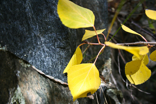
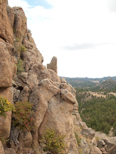
rock colorado aspen
Apsen against rock
I love this view
trip sled redfeatherlake
View From Cabin
shambhalamountain nature greatstupa 2001
A Different Path
colorado
Name this bush?
shambhalamountain nature aspens 2001
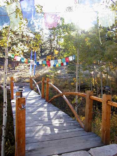
Brook Bridge
shambhalamountain nature greatstupa 2001
View from Great Stupa
trip sled redfeatherlake
View of O'Brien Cabin
View of the house from the side
shambhalamountain nature greatstupa aspens 2001
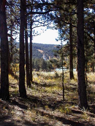
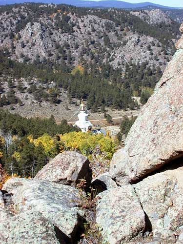
Above the Great Stupa
shambhalamountain nature greatstupa aspens 2001
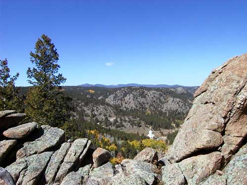
The Valley of the Great Stupa
shambhalamountain nature greatstupa 2001
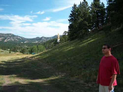
My First View of the Great Stupa
reunion estespark 2007
Reunion 2007 Buddha Camp view with edgar
greatstupa dharmakaya shambalamountaincenter
View fron Great Stupa
reunion estespark 2007
Reunion 2007 Buddha Camp View
greatstupa dharmakaya shambalamountaincenter
View from the Front Door
All up
redfeathersandyellowleaves brownzelip
Aspen magic
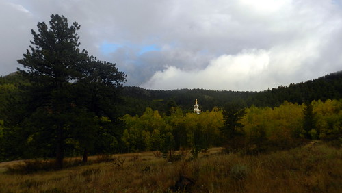
The Great Stupa of Dharmakaya, Which Liberates Upon Seeing -- Red Feather Lake, CO
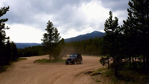
Off-roading 6-23-14
Photo By Jeff Julian
Off-roading 6-23-14
Off-roading 6-23-14
Off-roading 6-23-14
Weathers changing
Time to leave
Off-roading 6-23-14
square squareformat hudson iphoneography instagramapp uploaded:by=instagram foursquare:venue=4cc5120f3ed5199c31ba4a1e
Last momths trip to #ShambalaMountainCenter
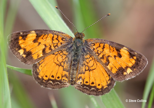
crescent co phyciodes larimercounty northerncrescent phyciodescocyta
Northern Crescent (Phyciodes cocyta)
geolocation geocity camera:make=canon exif:make=canon exif:isospeed=800 geocountry geostate exif:lens=ef24105mmf4lisusm exif:focallength=40mm exif:aperture=ƒ71 exif:model=canoneos5dmarkiii camera:model=canoneos5dmarkiii geo:lon=10554365228 geo:lat=4080379077
Mount Margaret Trail 10/3
Hillside better exposure
geolocation geocity camera:make=canon exif:make=canon exif:isospeed=800 geocountry geostate exif:lens=ef24105mmf4lisusm exif:focallength=105mm exif:aperture=ƒ71 exif:model=canoneos5dmarkiii camera:model=canoneos5dmarkiii geo:lat=4079938594 geo:lon=10555197841
Mount Margaret Trail 10/3
geolocation geocity camera:make=canon exif:make=canon exif:isospeed=800 geocountry geostate exif:lens=ef24105mmf4lisusm exif:aperture=ƒ71 exif:model=canoneos5dmarkiii camera:model=canoneos5dmarkiii exif:focallength=65mm geo:lon=1055293506 geo:lat=408098439
Mount Margaret Trail 10/3
Deadman Creek
usa america us colorado unitedstates unitedstatesofamerica northamerica timeframe 2011 redfeatherlakes cvkc doudylake
20111120-0005-Red Feather Lakes
geolocation geocity camera:make=canon exif:make=canon exif:isospeed=800 geocountry geostate exif:lens=ef24105mmf4lisusm exif:focallength=45mm exif:aperture=ƒ10 exif:model=canoneos5dmarkiii camera:model=canoneos5dmarkiii geo:lon=1055278121 geo:lat=4081782908
Mount Margaret Trail 10/3