Elevation of Toro Peak, California, USA
Location: United States > California > Riverside County >
Longitude: -116.42556
Latitude: 33.5233623
Elevation: 2651m / 8697feet
Barometric Pressure: 73KPa
Elevation Map:
Satellite Map:
Related Photos:
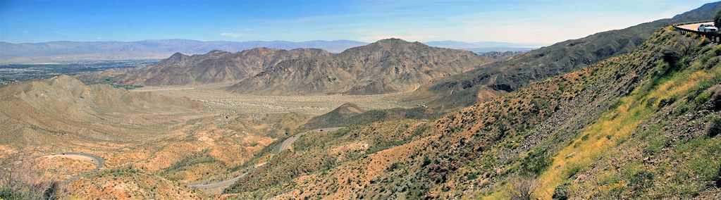
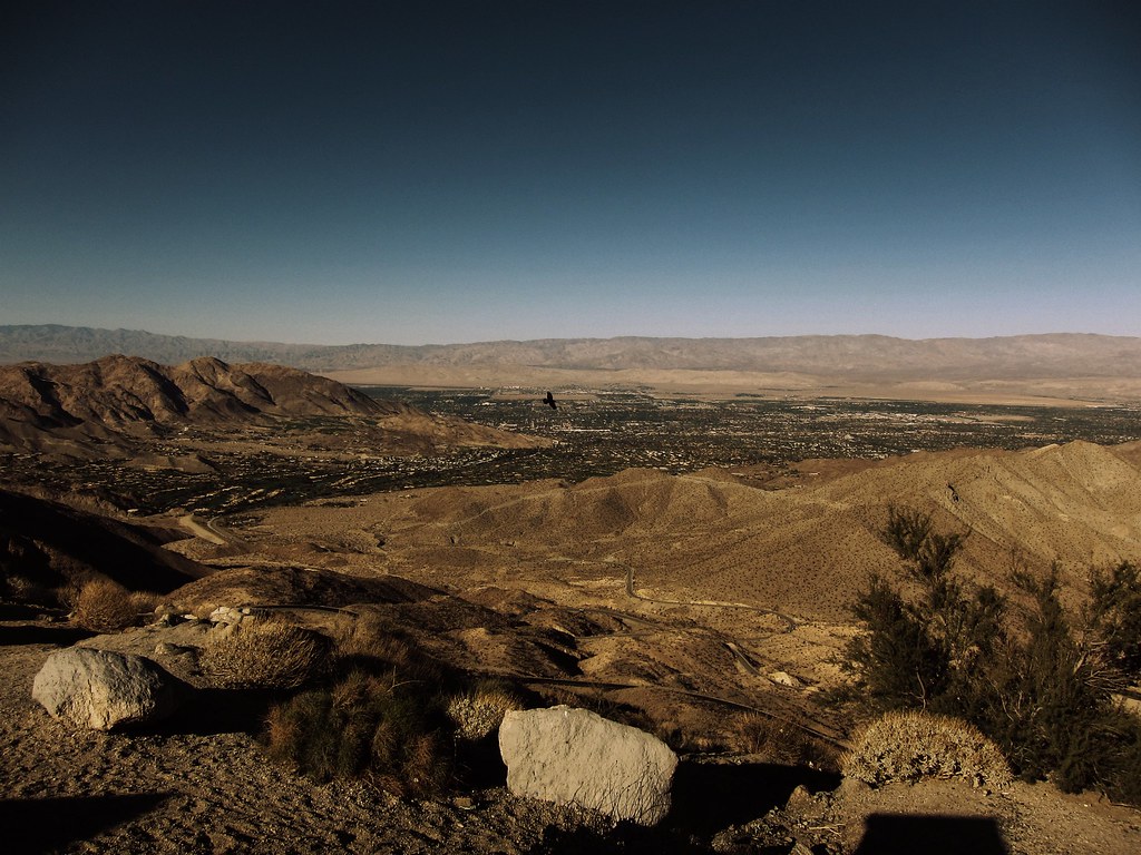
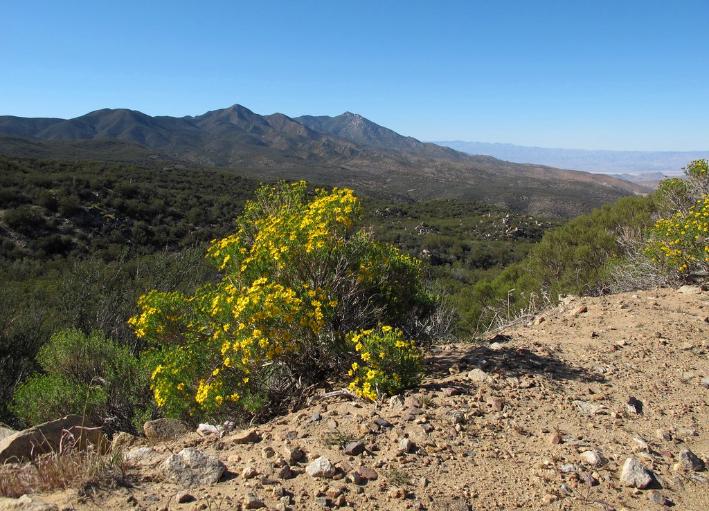
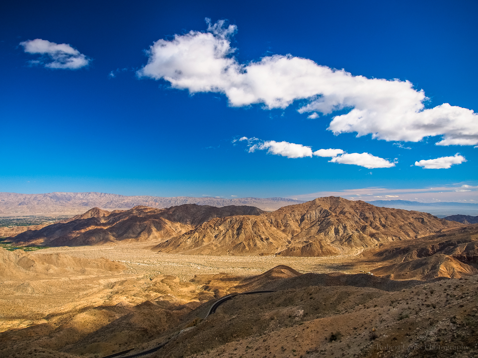
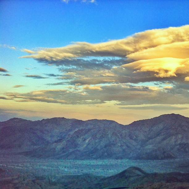
Coachella Valley Panorama
Excuse Me, Your Shoe Lace Is Untied
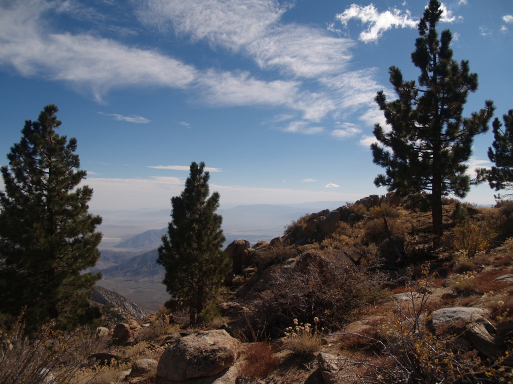
Desert Views
Toro Peak
View from Vista Point
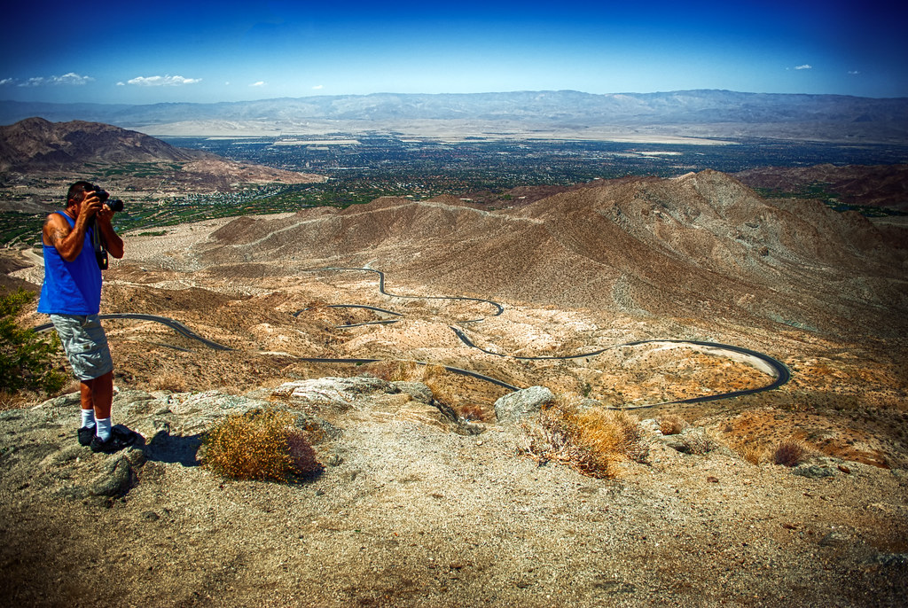
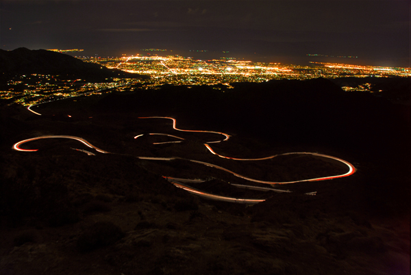
That Ribbon of Highway
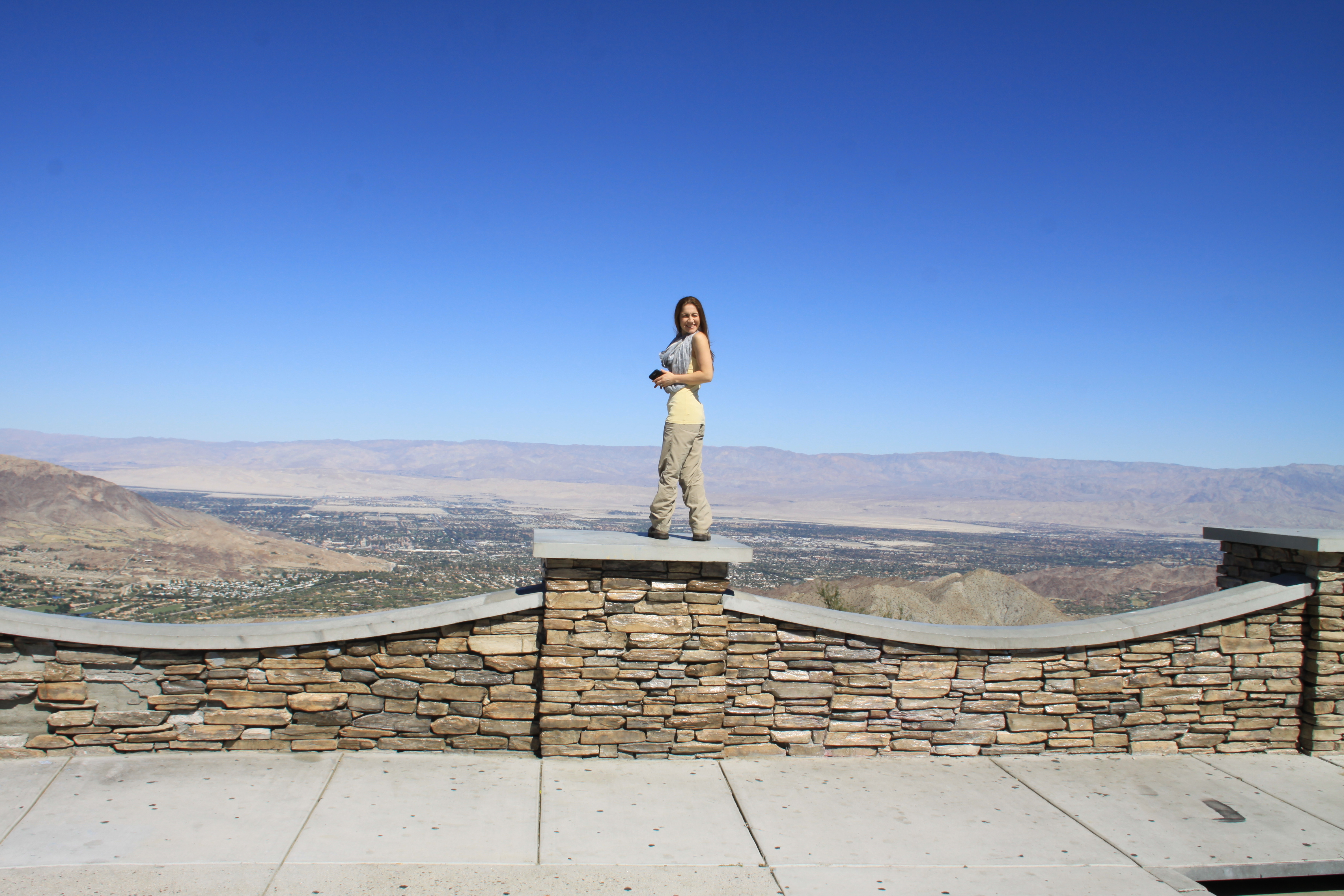
Coachella Valley View Point
TURNOUT ON HIGHWAY 74
Vista point.
20d/365 - Pines to Palms
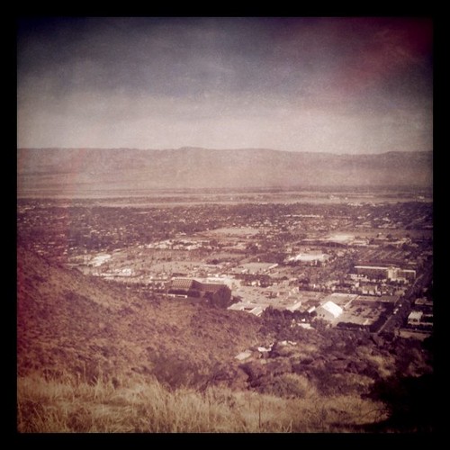
View of Palm Springs from North Lykken Trail

2011-12-07 100
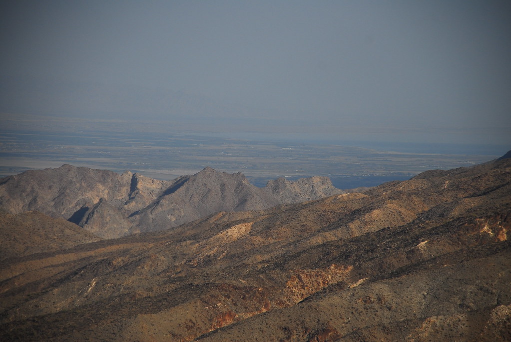
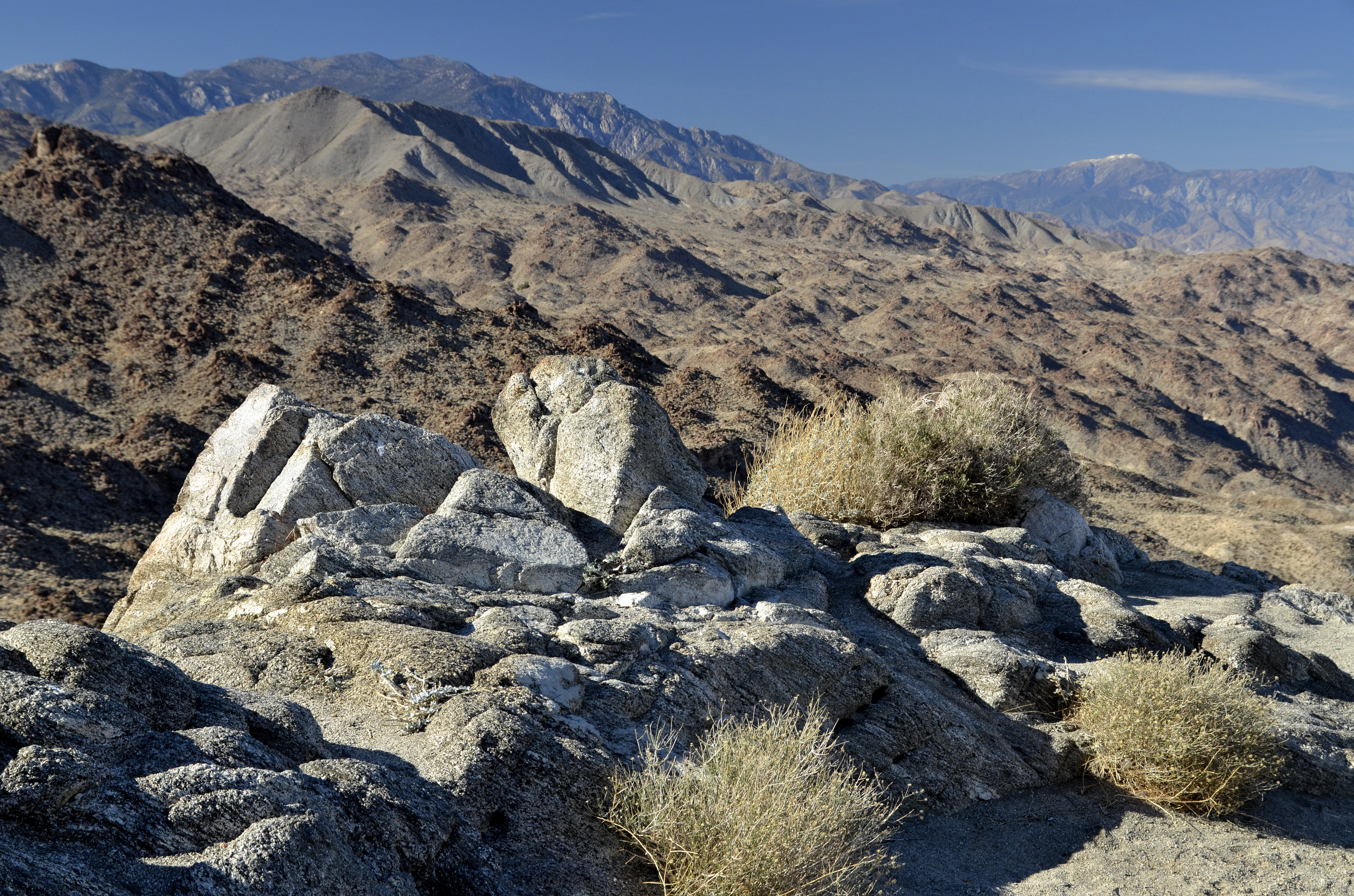
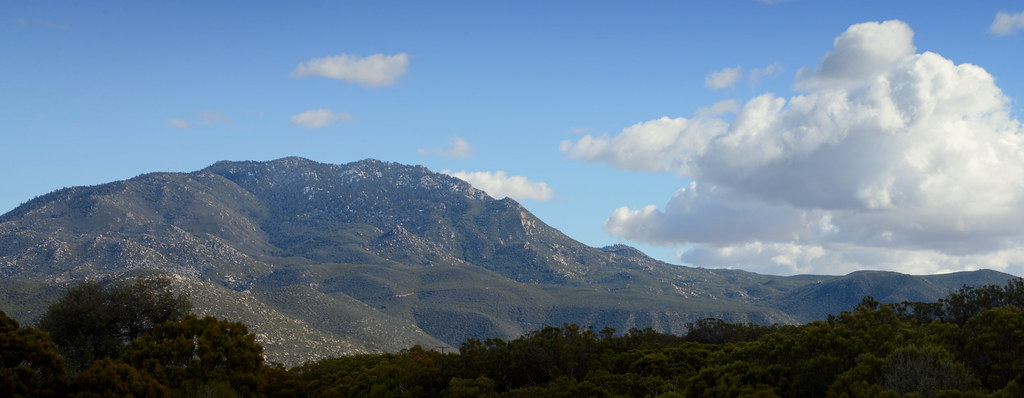
San Jacinto Mts.
Santa Rosa Vista

View from Coachella vista point
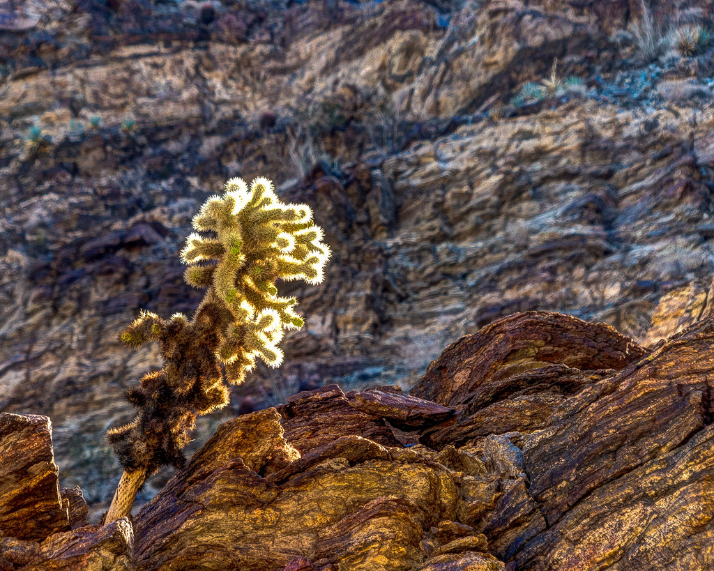
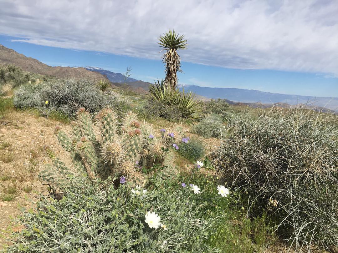
Teddy Bear Cactus
Pinyon Flat ~ July 2008
View from Coachella vista point

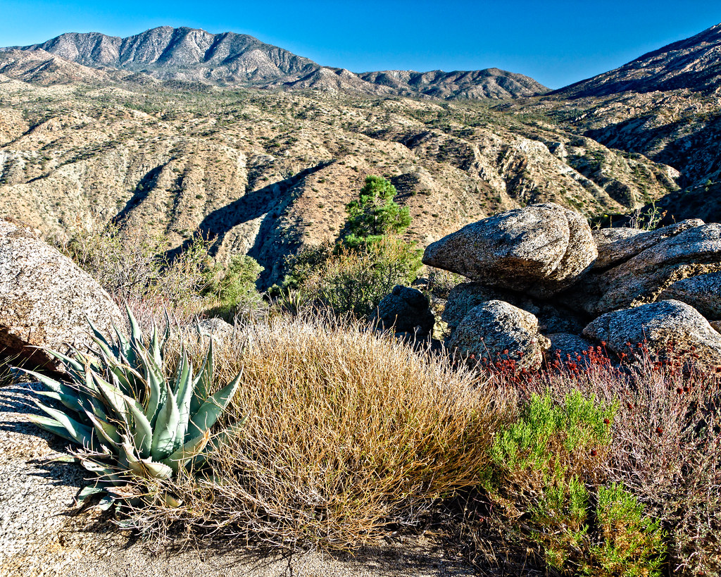
Canyon view
View from Coachella vista point
242_Toro-Peak

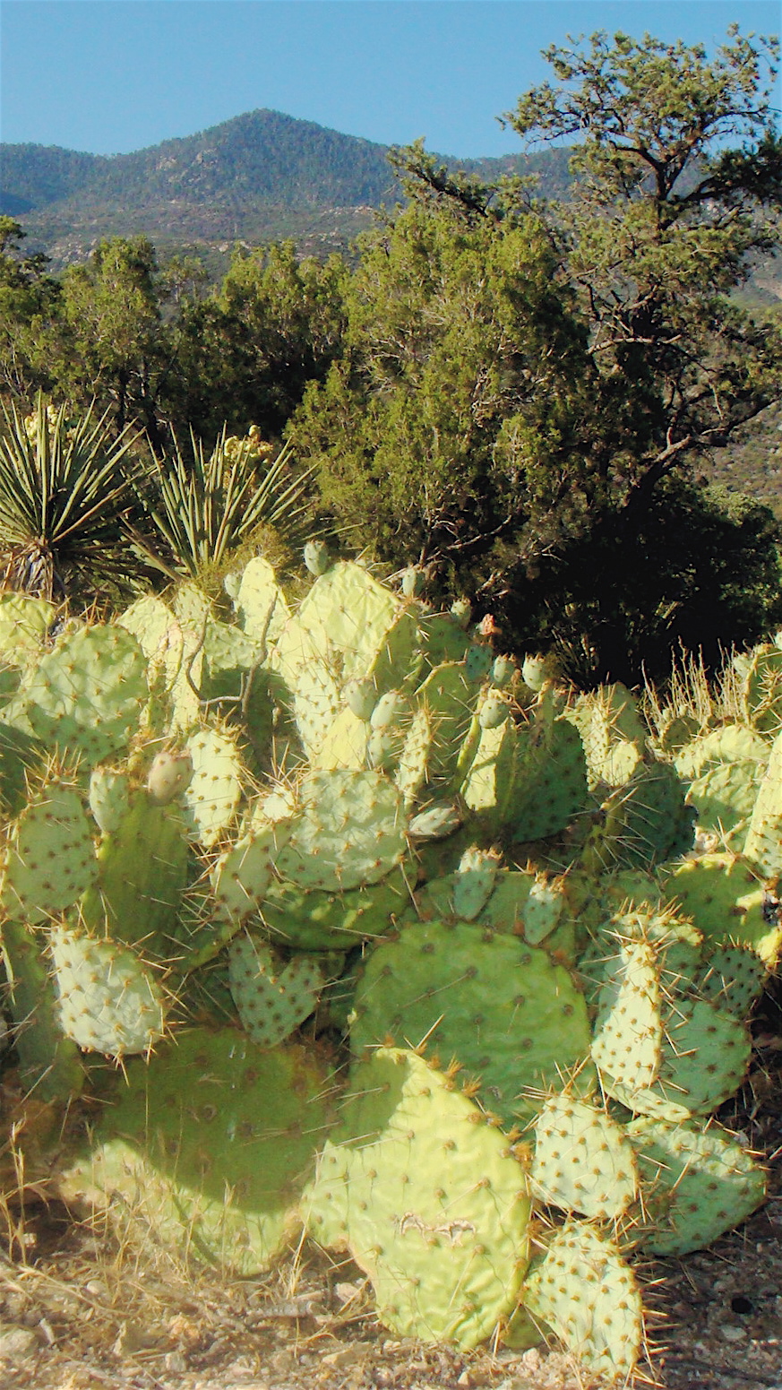
Desert Plateau
Pines to Palms

#hwy74vistapoint #beard #beardedphotographer #musclebearphotographer #mountains

Desert Peaks

#mountains #musclebearphotographer #beardedphotographer #beard #hwy74vistapoint
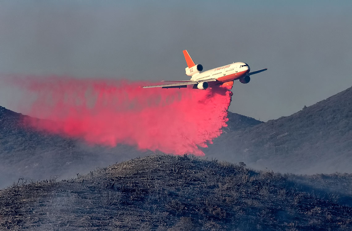
Air Tanker 912 making a Drop on the Anza Fire

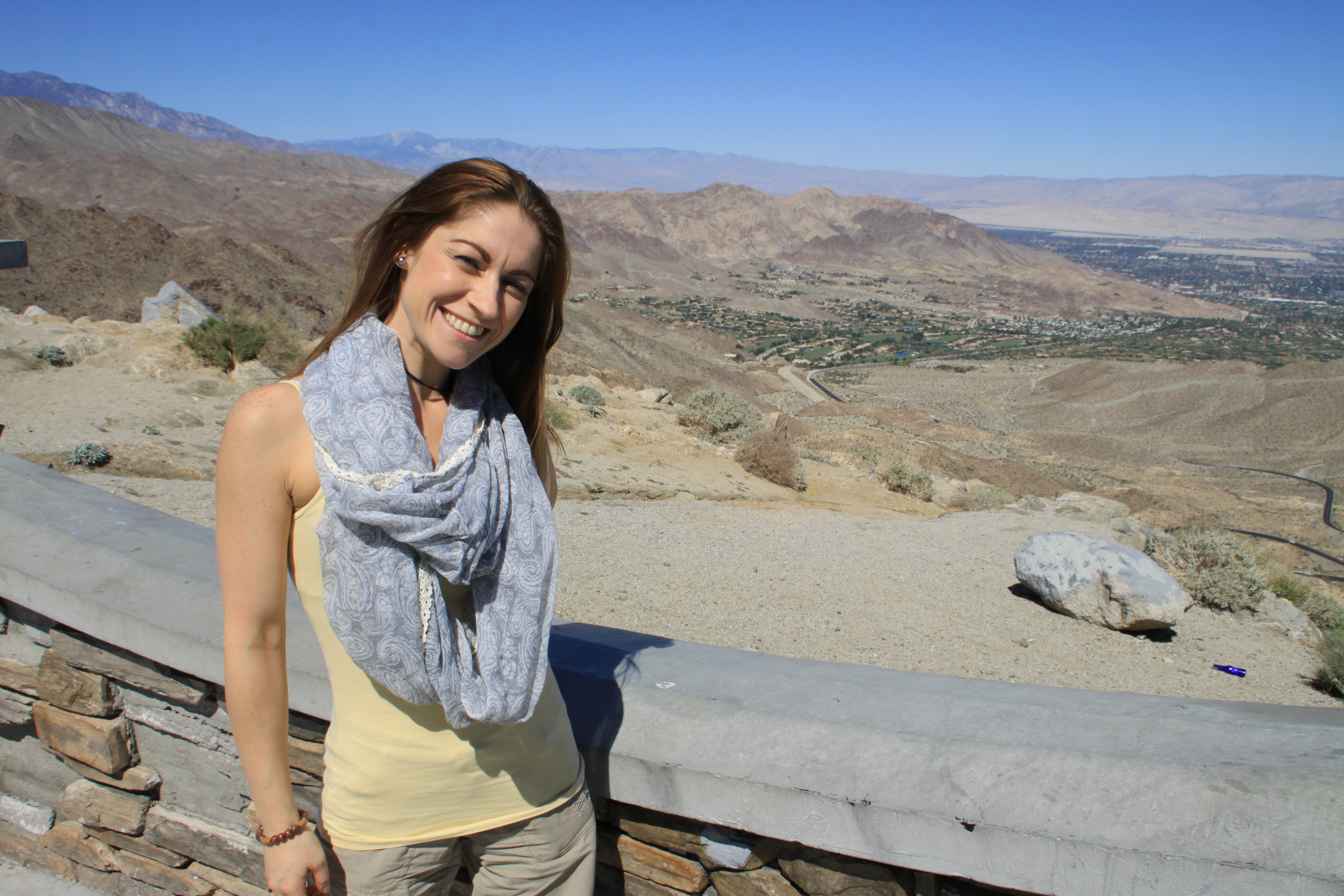
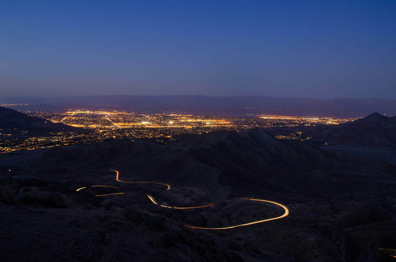
Palm Springs sunrise panorama 2014

Cahuilla Tewanet Vista Point, San Jacinto Ranger District, San Bernardino National Forest, CA
Driving to #LaQuinta #CoachellaValley #Vistapoint
Desert mountain high ????

2012-12-19 057

Made the white knuckle trip up...
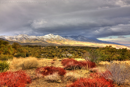
Santa Rosa Mountain with dusting of snow, Southern California
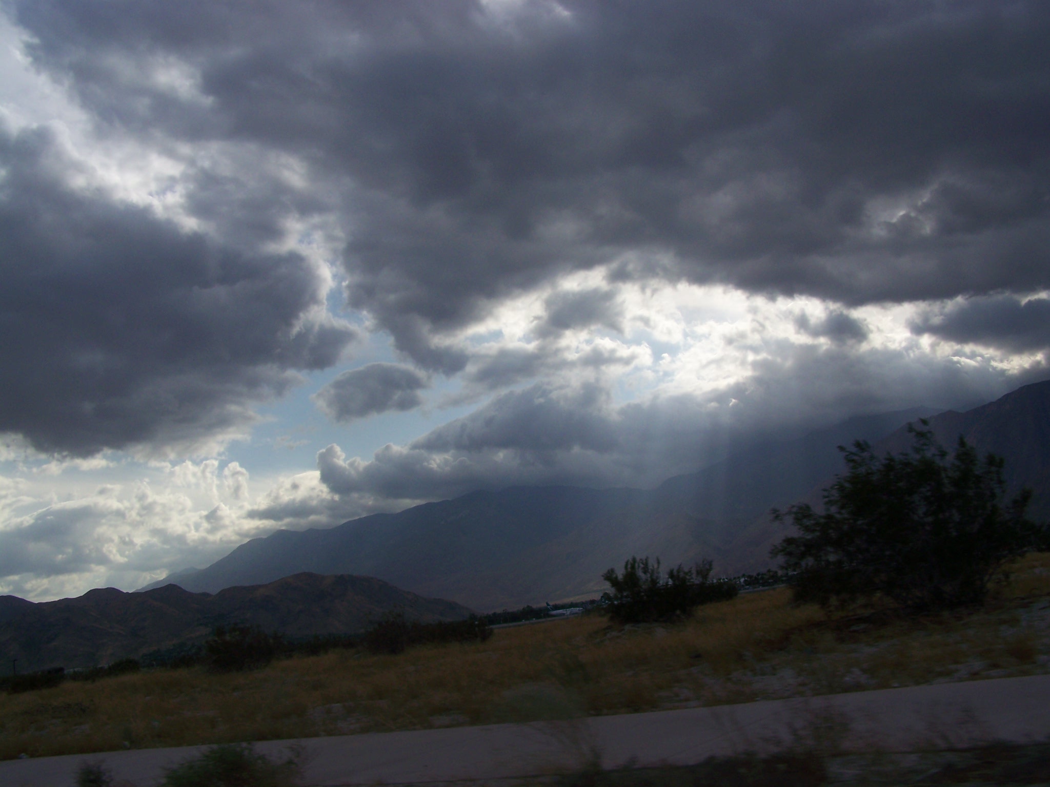
Pinyon Storm Clouds

Pines to Palms Highway, above Palm Desert, CA
palm springs / 2010
Palm Desert
Topographic Map of Toro Peak, California, USA
Find elevation by address:

Places near Toro Peak, California, USA:
69726 Indio Ave
CA-74, Mountain Center, CA, USA
Buck Drive
Martinez Mountain
Santa Rosa And San Jacinto Mountains National Monument
Cholla Way, Palm Desert, CA, USA
73185 Irontree Dr
73411 Dalea Ln
Calle De Los Campesinos
La Quinta
73661 Haystack Rd
Pathfinder Ranch
La Quinta, CA, USA
Eisenhower Mountain
73660 Grapevine St
74465 Palo Verde Dr
81268 Cambria Ct
La Quinta Resort Mountain Course
Setting Sun Trail
55054 Firestone
Recent Searches:
- Elevation of Corso Fratelli Cairoli, 35, Macerata MC, Italy
- Elevation of Tallevast Rd, Sarasota, FL, USA
- Elevation of 4th St E, Sonoma, CA, USA
- Elevation of Black Hollow Rd, Pennsdale, PA, USA
- Elevation of Oakland Ave, Williamsport, PA, USA
- Elevation of Pedrógão Grande, Portugal
- Elevation of Klee Dr, Martinsburg, WV, USA
- Elevation of Via Roma, Pieranica CR, Italy
- Elevation of Tavkvetili Mountain, Georgia
- Elevation of Hartfords Bluff Cir, Mt Pleasant, SC, USA