Elevation of Martinez Mountain, California, USA
Location: United States > California > Riverside County >
Longitude: -116.34501
Latitude: 33.5575276
Elevation: 1979m / 6493feet
Barometric Pressure: 80KPa
Elevation Map:
Satellite Map:
Related Photos:
That Ribbon of Highway

Toro Peak North view of snowfall to desert - only a seconds-long break in the clouds
TURNOUT ON HIGHWAY 74

Chariot Fire from Toro Peak south view 07-Jul-2013 1135 AM

Toro Peak North view: Sunrise rays for New Year's day (07:19 AM)
Humidity, rain and thunderstorms over the Mountain Fire

Toro Peak West view at sunrise

Mountain Fire from Toro Peak 17-Jul-2013 2:05 PM PST

'Volcanic'-look of the Mountain Fire 17-Jul-2013 4:55PM PST

Mountain Fire 'laid-down' - from Toro Peak 17-Jul-2013 6:43 AM

Toro Peak North view of desert towns, just before sunrise (6:03 AM)
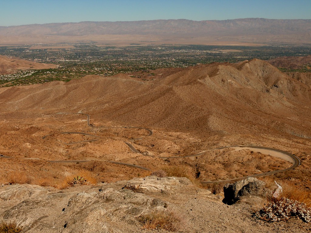
Coachella Valley View Point
Pines to Palms Hwy
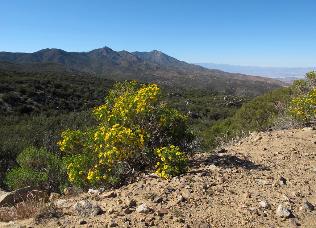
Santa Rosa Vista

Toro Peak North view: First sunrise of 2013 (6:49 AM)
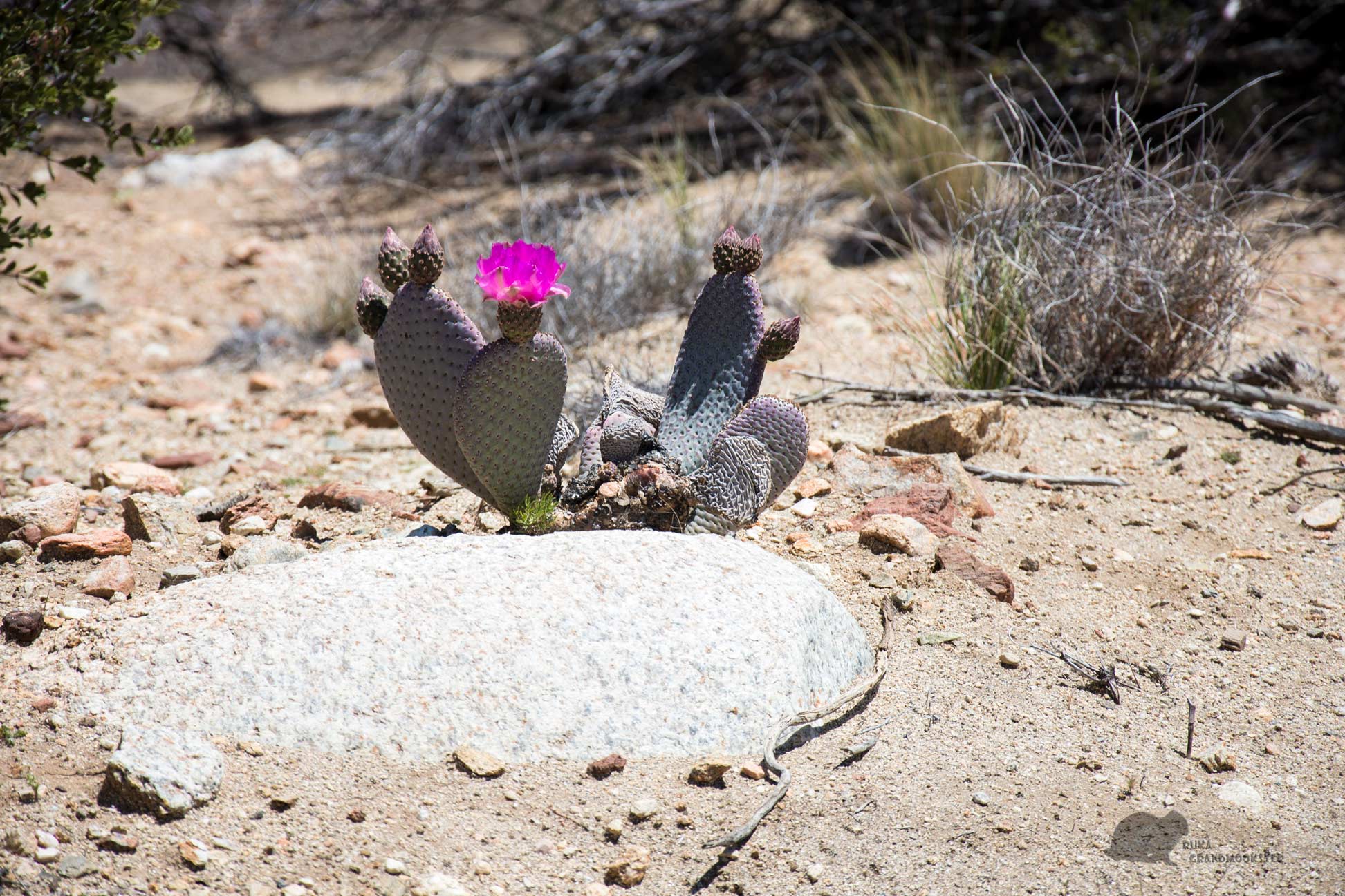
Beavertail Flowers

Toro Peak West view at sunrise
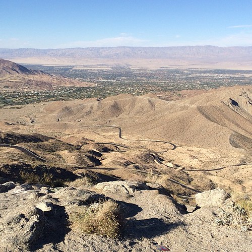
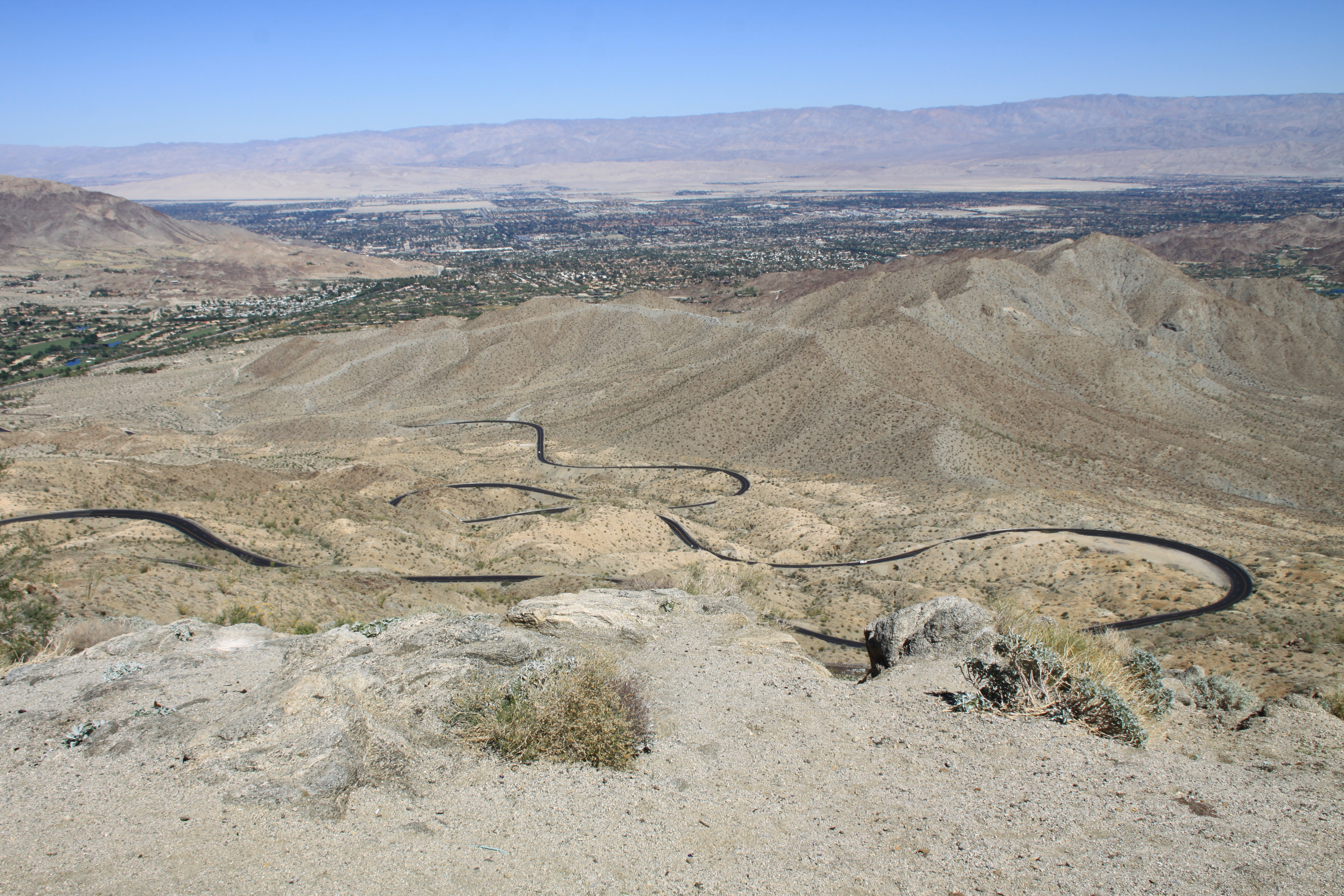
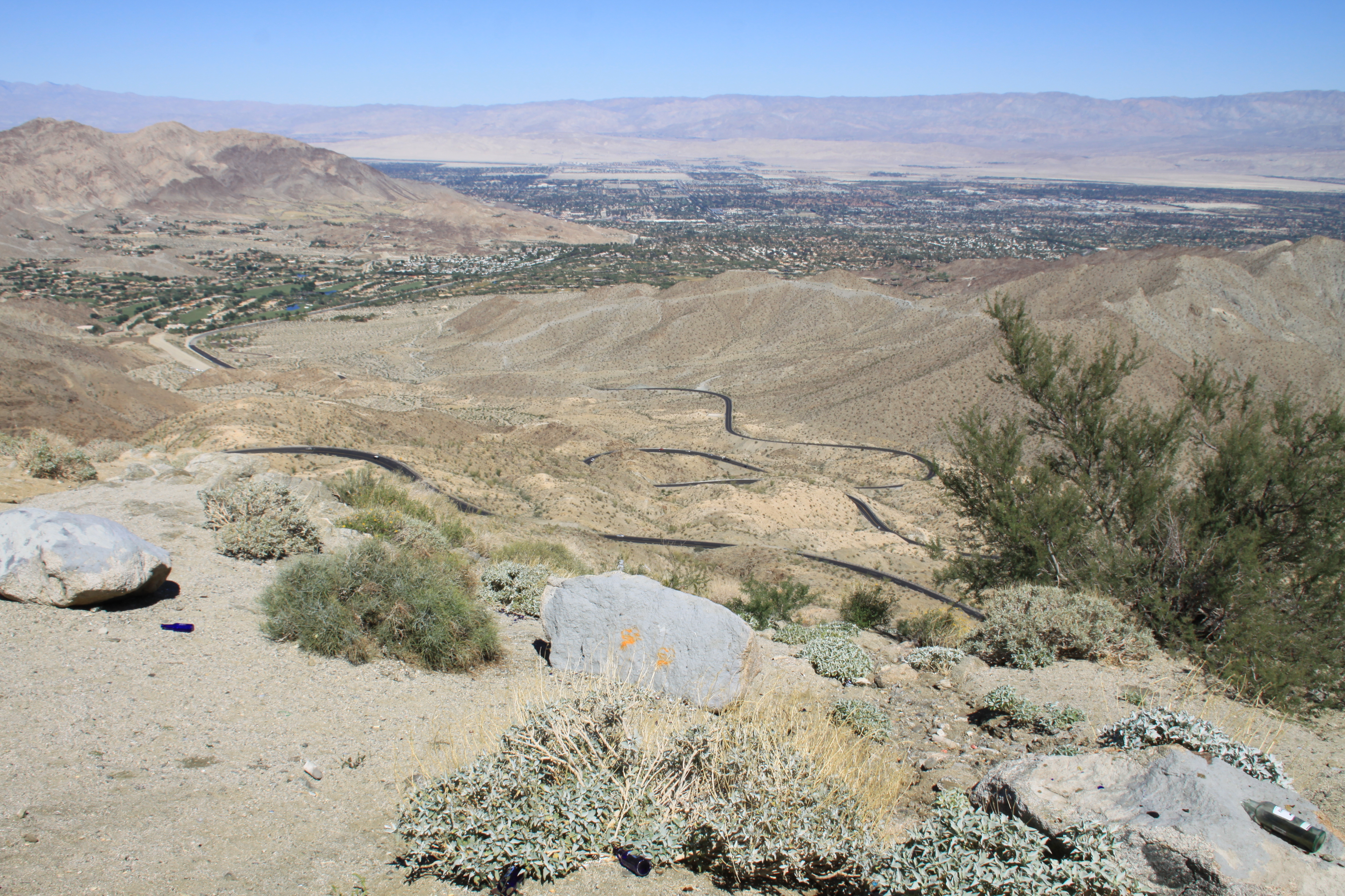
We found an excellent road (and view!) up above Palm Desert. So twisty! If you ever need to go to Temecula from the Palm Springs area, this is the road for you.
View from Coachella vista point

View from Coachella vista point
View from Coachella vista point
Topographic Map of Martinez Mountain, California, USA
Find elevation by address:

Places near Martinez Mountain, California, USA:
CA-74, Mountain Center, CA, USA
Toro Peak
Santa Rosa And San Jacinto Mountains National Monument
81268 Cambria Ct
La Quinta
69726 Indio Ave
La Quinta, CA, USA
57669 Santa Rosa Trail
57669 Santa Rosa Trail
57559 Santa Rosa Trail
61063 Fire Barrel Dr
Pga West Private Clubhouse & Golf Courses
55054 Firestone
61730 Mesa Ct
80495 Whisper Rock Way
Pga Boulevard
Nicklaus Tournament Resort Course
Stadium Course At Pga West
81835 Prism Dr
Buck Drive
Recent Searches:
- Elevation of Corso Fratelli Cairoli, 35, Macerata MC, Italy
- Elevation of Tallevast Rd, Sarasota, FL, USA
- Elevation of 4th St E, Sonoma, CA, USA
- Elevation of Black Hollow Rd, Pennsdale, PA, USA
- Elevation of Oakland Ave, Williamsport, PA, USA
- Elevation of Pedrógão Grande, Portugal
- Elevation of Klee Dr, Martinsburg, WV, USA
- Elevation of Via Roma, Pieranica CR, Italy
- Elevation of Tavkvetili Mountain, Georgia
- Elevation of Hartfords Bluff Cir, Mt Pleasant, SC, USA