Elevation of Fire Barrel Dr, La Quinta, CA, USA
Location: United States > California > Riverside County > La Quinta >
Longitude: -116.23844
Latitude: 33.6049191
Elevation: -16m / -52feet
Barometric Pressure: 102KPa
Elevation Map:
Satellite Map:
Related Photos:
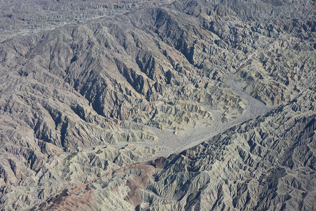
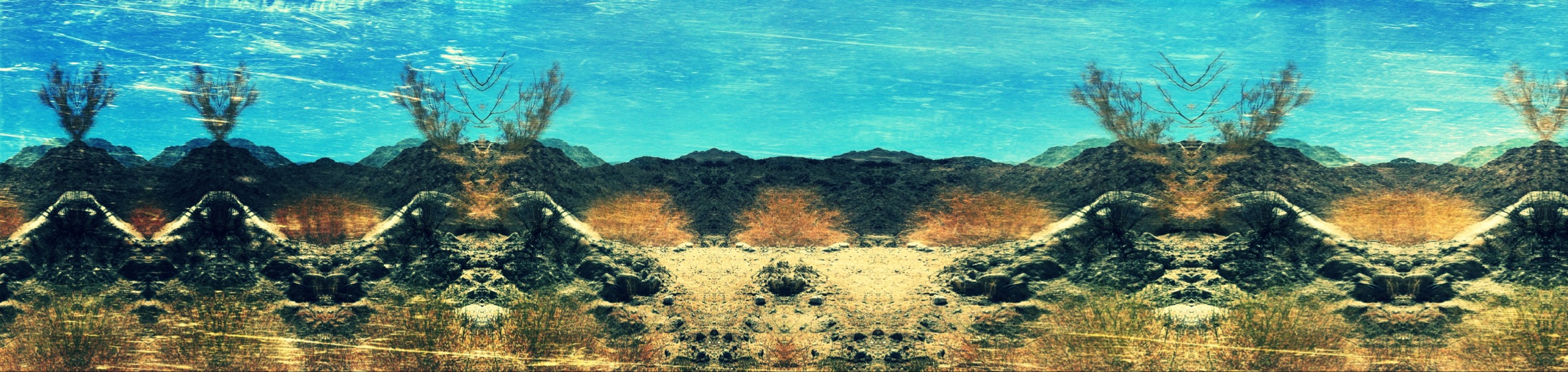
Above the San Andreas and Skeleton Canyon Faults, Mecca Hills, Riverside County, California
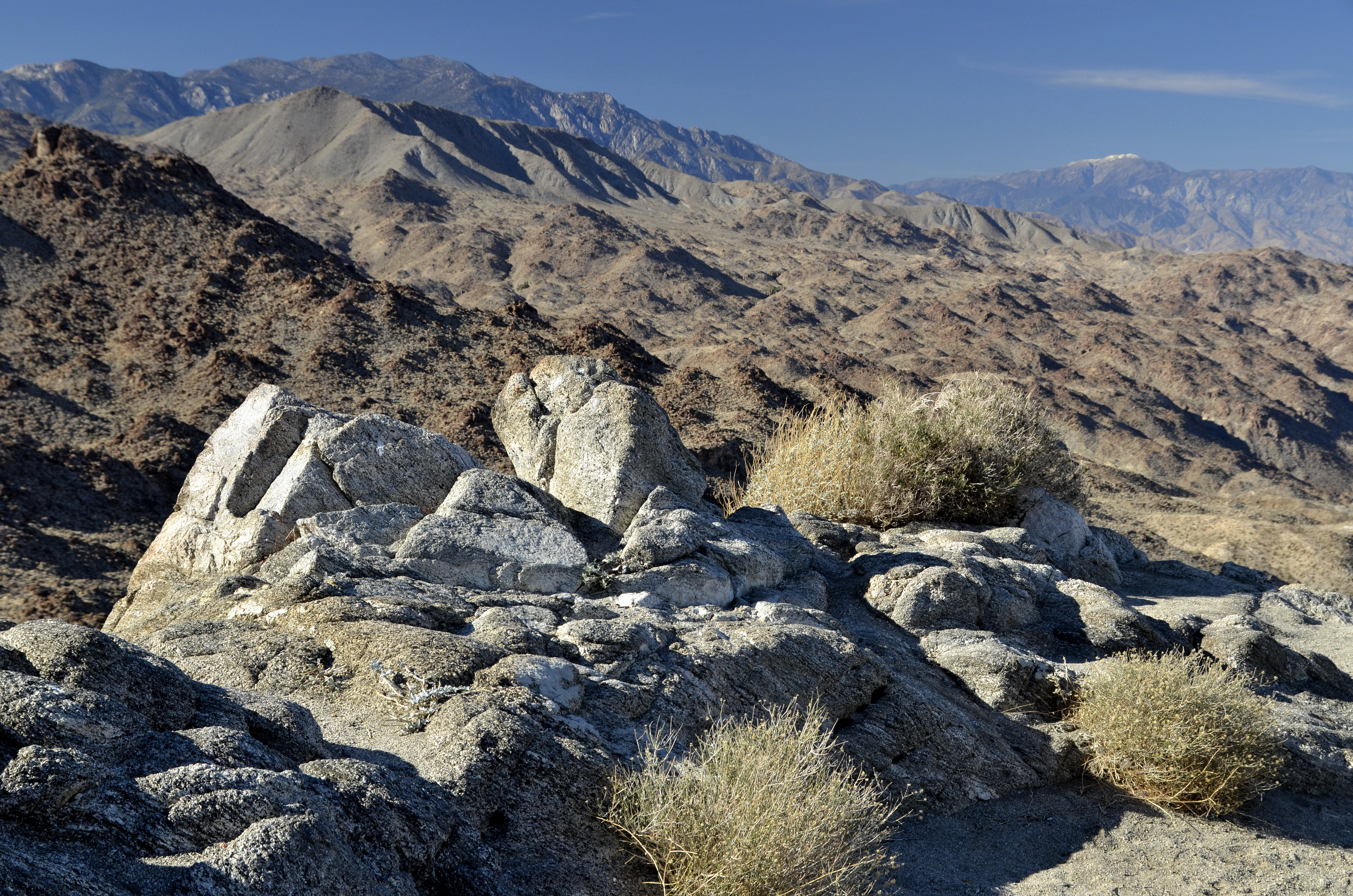
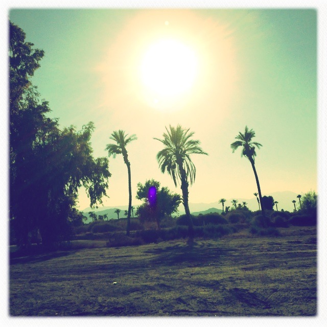
Desert Views
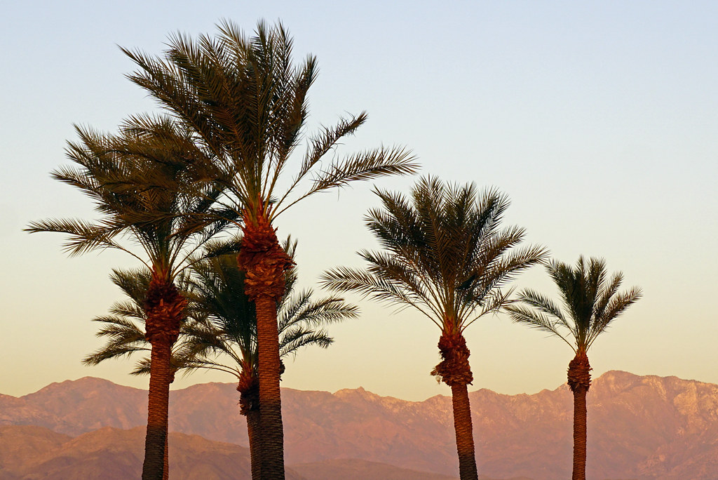
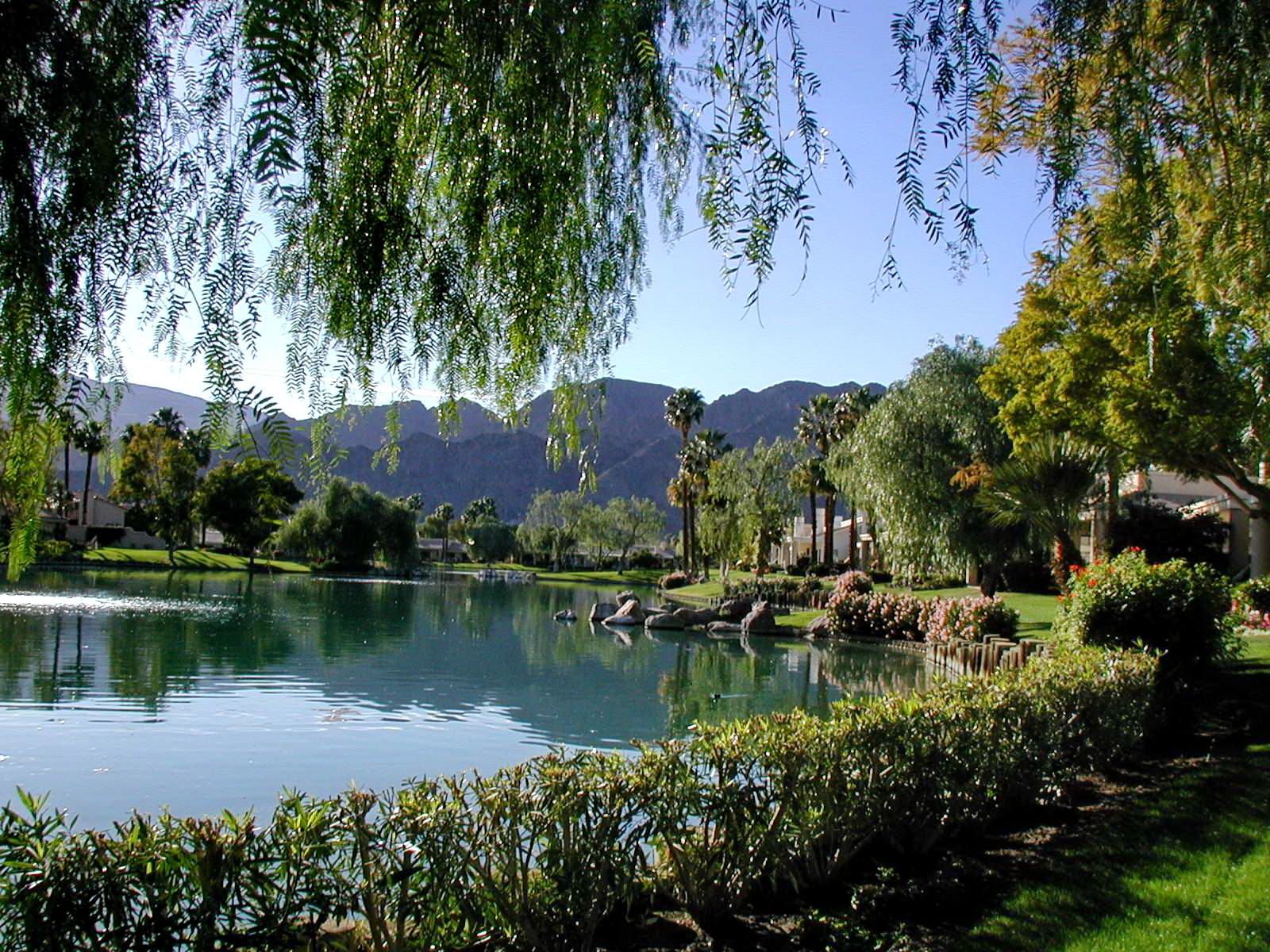
View from Homewood Suites by Hilton La Quinta, CA
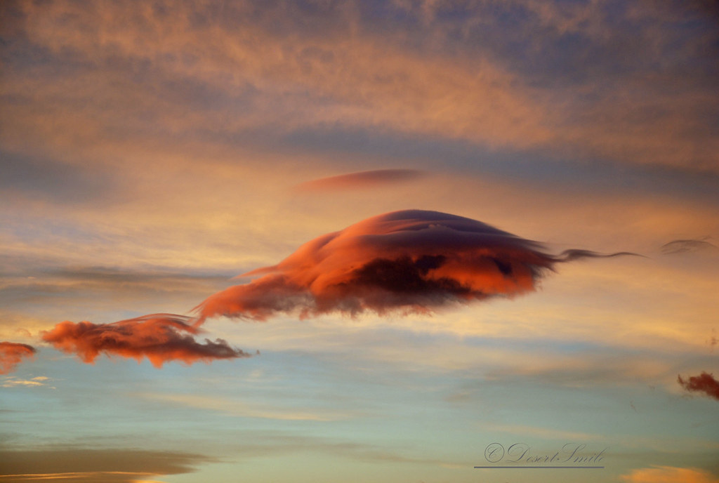
Morning Sunrise Clouds_1

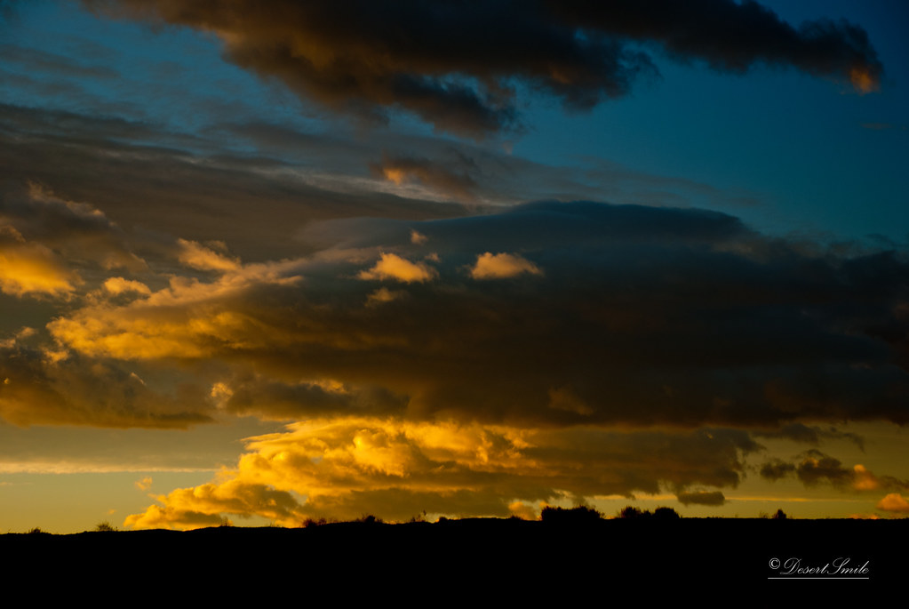
Morning Sunrise Clouds_2

Mother Nature vs. Pole Power
Sunrise 11_8_2010

#Pretty #Sunset over the #golfcourse in #psp #laquinta #palmtrees #view #sun #sky #beautiful #palm
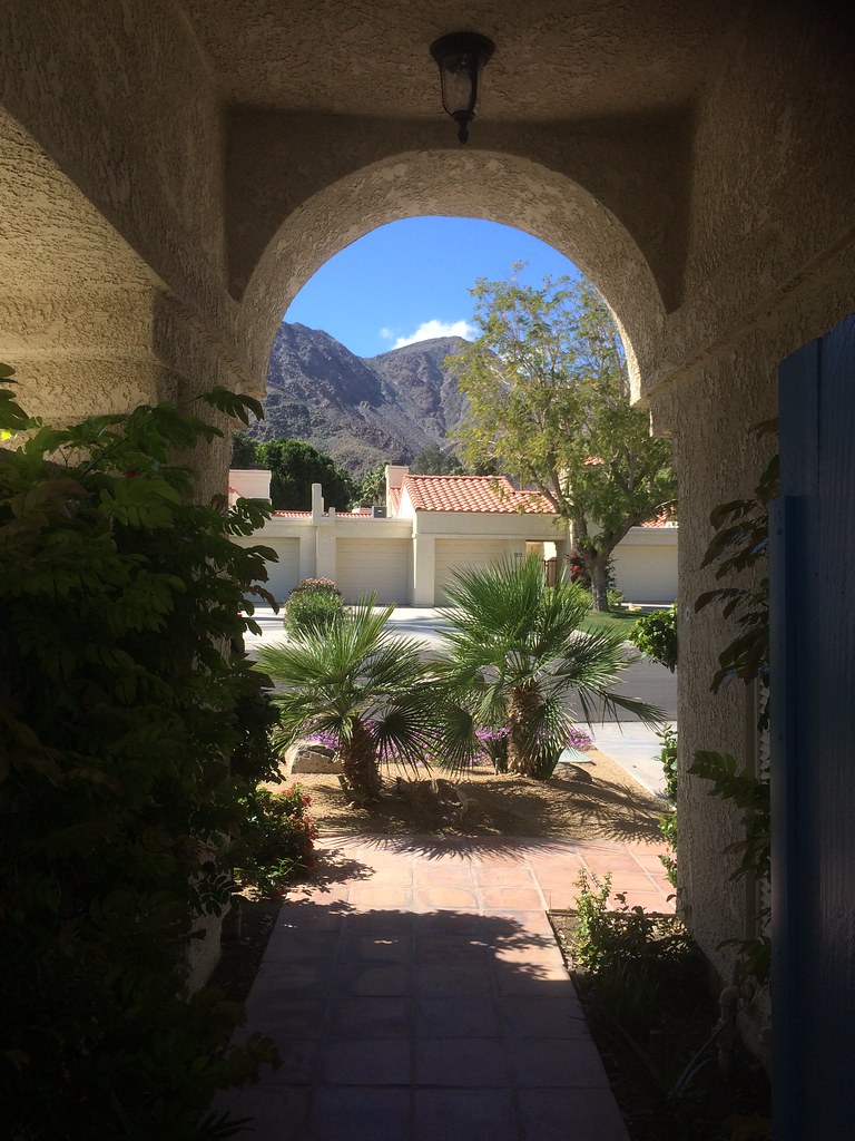
view out the front - Santa Rosa Cove
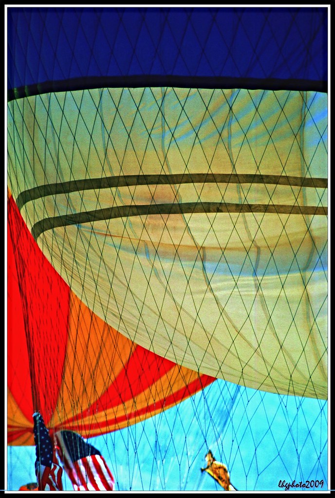
Balloons and American Flag (Image Preservation Project)

Patio Chair

Hubbs @rigz8 smashing #golfballs #golf #fun #gregnorman #laquinta #pgawest #drivingrange #view #mountain #grass
Palm Shadows
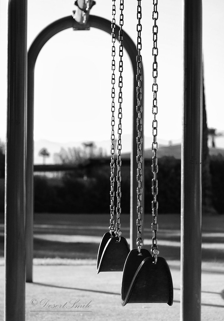
It's good to be a kid

#Desert #sunset over the #EisenhowerMountains #IndianWells #psp #cactus #view #nofilter #sky #beautiful #palm #palmsprings #sun #colorful #pretty #cool

Dead's Eye View
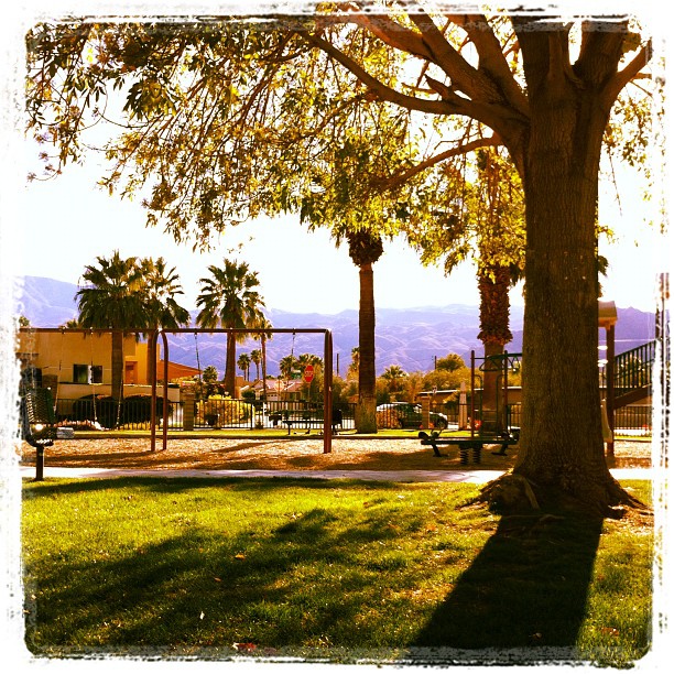
February, and this is my view at the park. In short sleeves. No complaint here.
Glamorous M83 view!
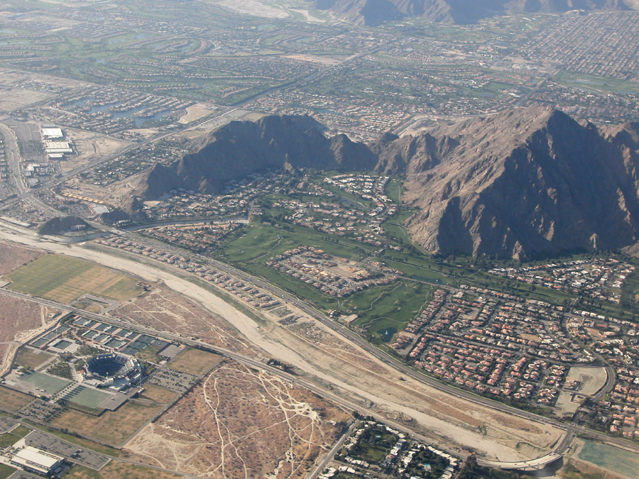
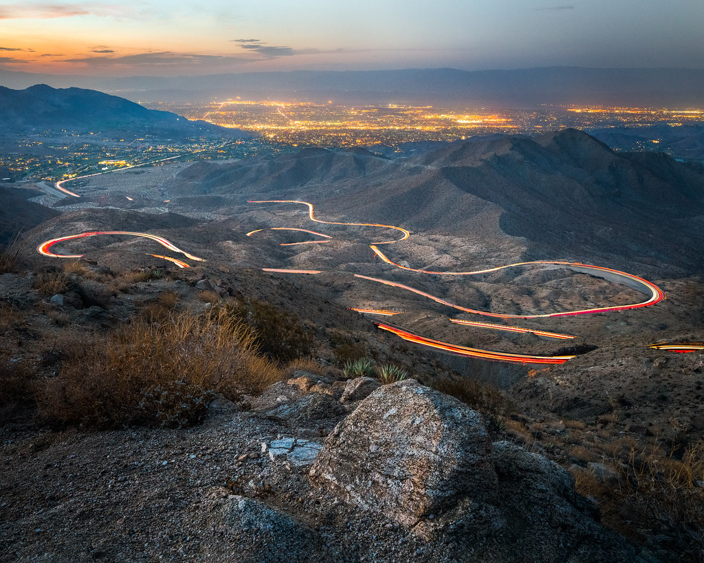
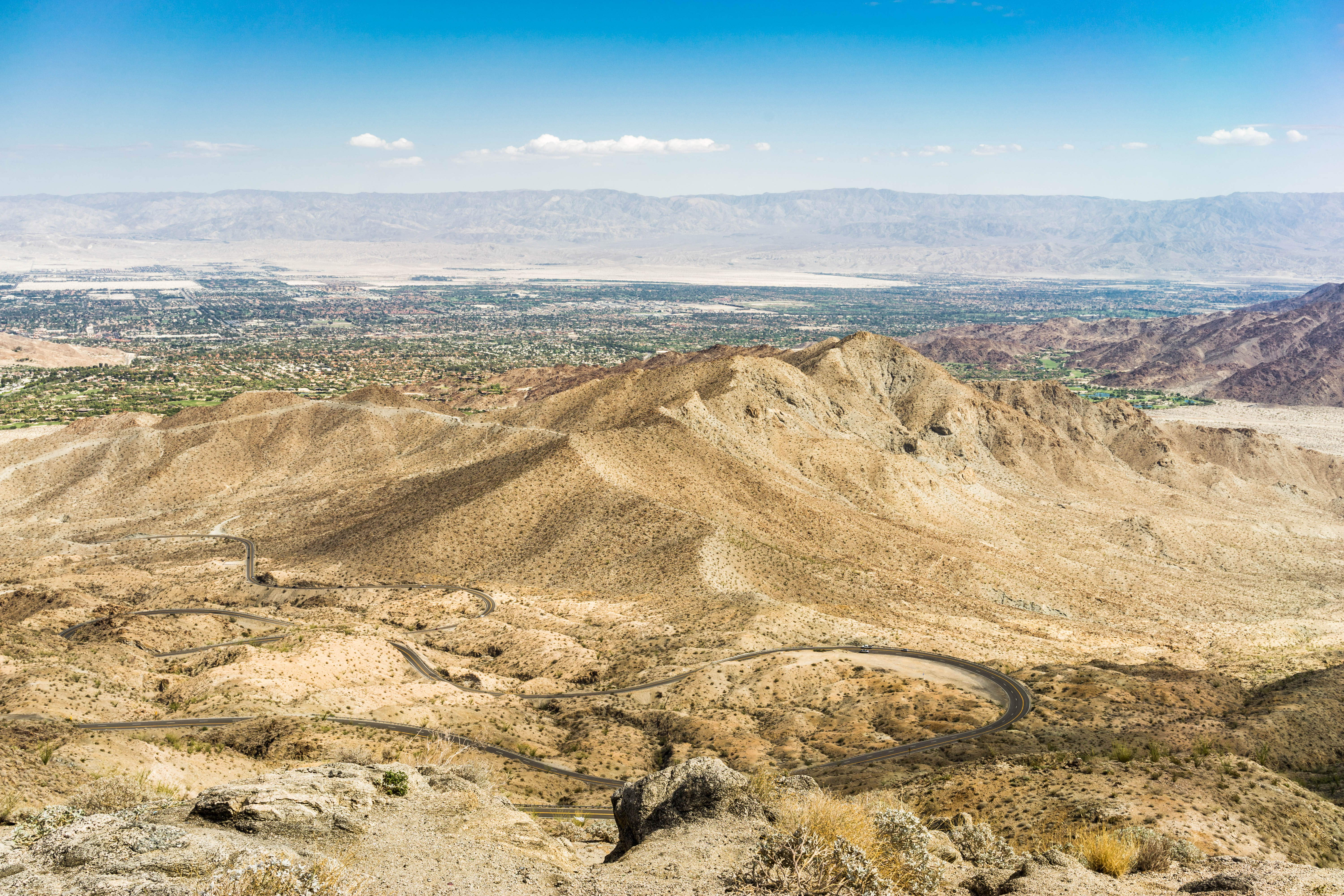
Above Indian Wells, La Quinta, Point Happy, and the Indian Wells Tennis Garden, Riverside County, California
View from Vista Point

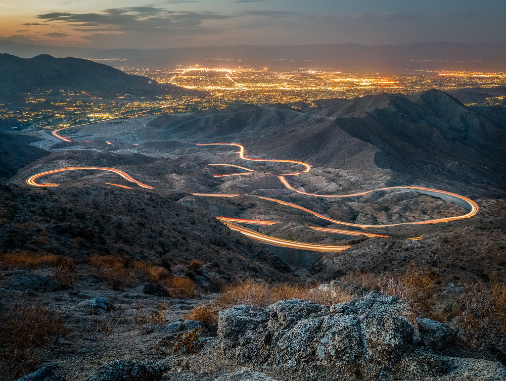
Above intersection of I-10 and Highway 86, Indio and Coachella, California

January 2013 Landscape II
Pines to Palms
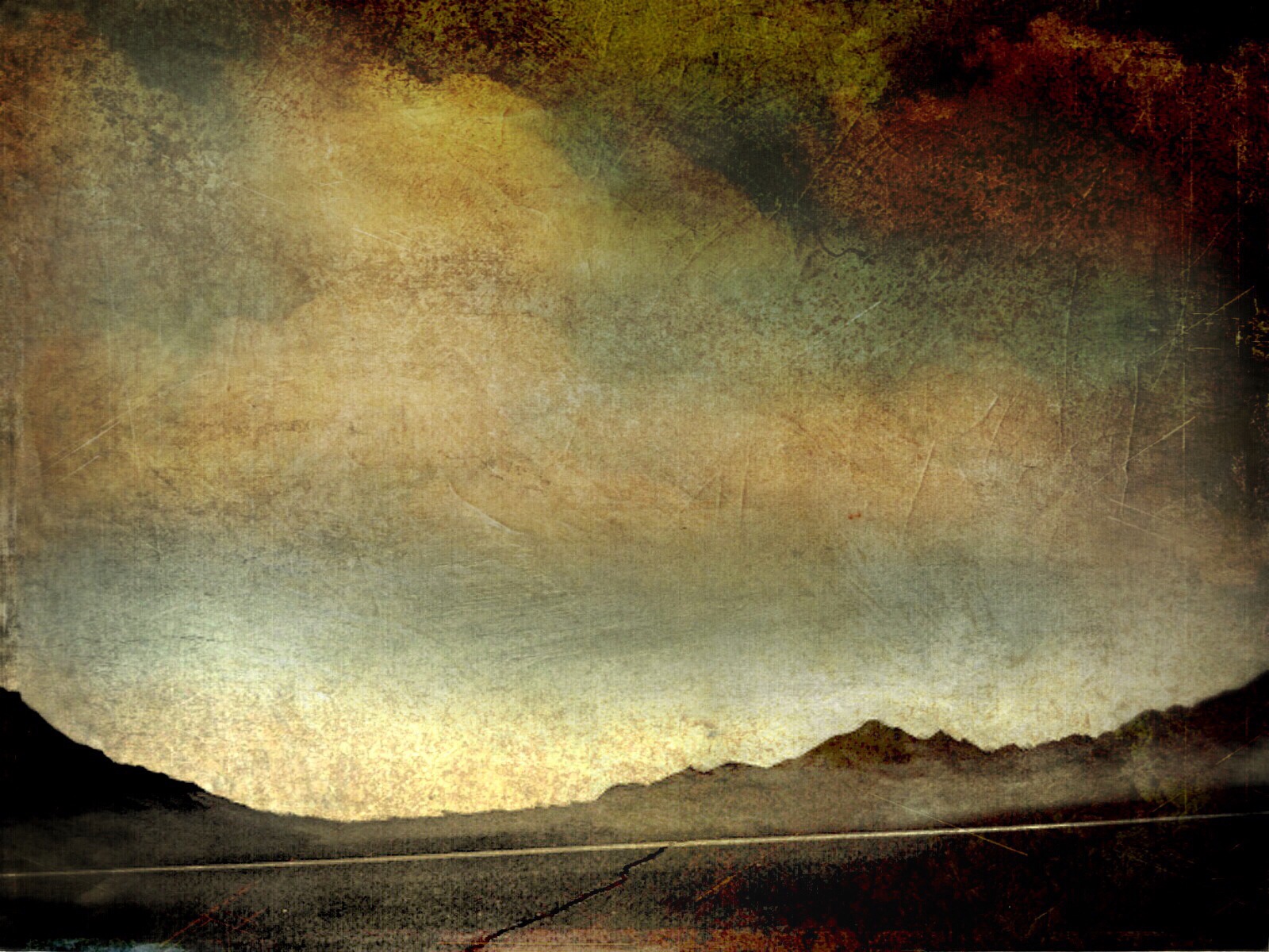
Santa Rosa Virga
Life & Death
Palm to Pines Highway - Palm Desert, CA

Days End at The American Canal
Palm to Pines Hwy - Palm Desert, CA
Imagined Landscape VIII
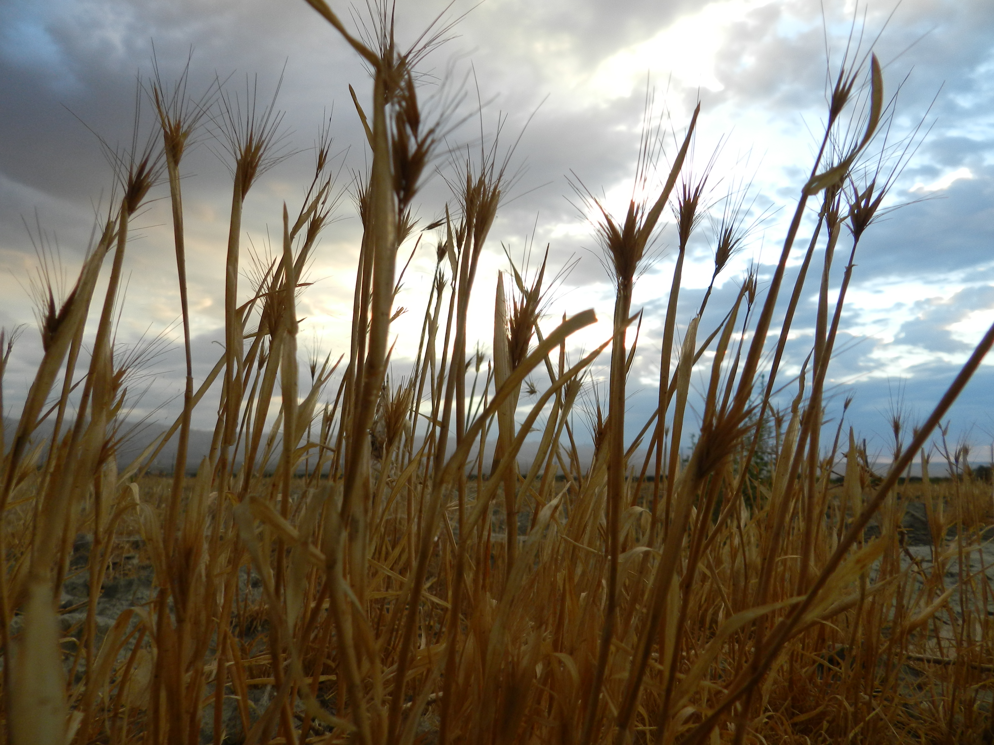
Fox Tails
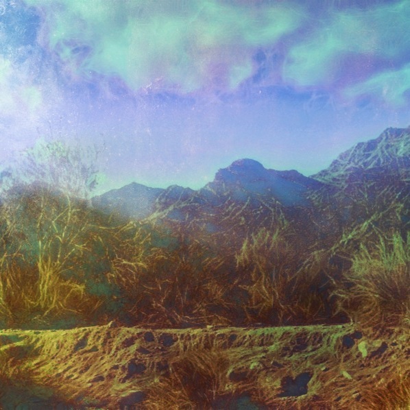
Photo Stream

Desert / Rock / Landscape 05.30.12
#the desert #oggl
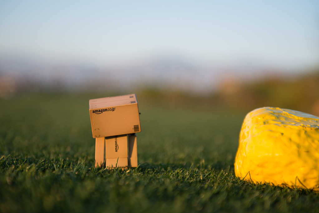
Danbo Ready to Tee Off
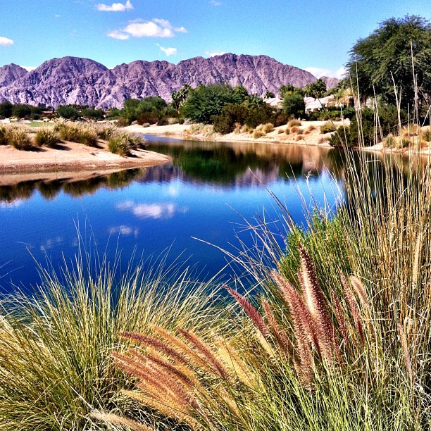
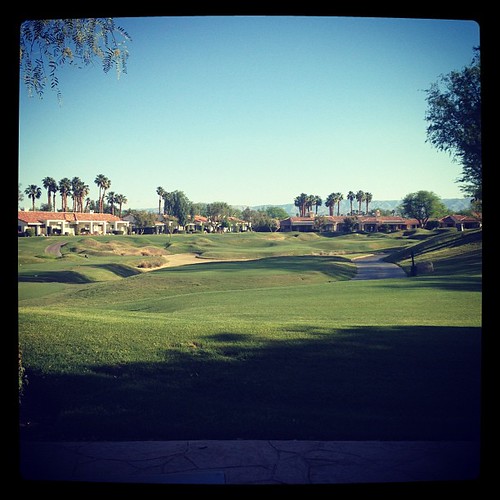
#Reflection over the #lake at the #1sttee #golf #gregnorman #pgawest #laquinta #psp #palm #palmsprings #sky #clouds #mountain #trees #pretty
Landscape 06.12.12
Digital Impressions Of A Western Landscape II

Desert Peaks

II Landscape 02.18.12
Indian Wells 03
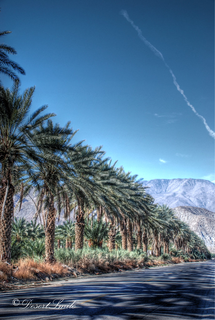
Pines to Palms Highway
Good morning!
Topographic Map of Fire Barrel Dr, La Quinta, CA, USA
Find elevation by address:

Places near Fire Barrel Dr, La Quinta, CA, USA:
61730 Mesa Ct
81835 Prism Dr
81268 Cambria Ct
57669 Santa Rosa Trail
57669 Santa Rosa Trail
57559 Santa Rosa Trail
81235 Muirfield Village
Nicklaus Tournament Resort Course
Stadium Course At Pga West
80495 Whisper Rock Way
Pga West Private Clubhouse & Golf Courses
80611 Cherry Hills Dr
Pga Boulevard
80448 Pebble Beach
54001 Madison St
55054 Firestone
81318 Peary Pl
Airport Blvd, Thermal, CA, USA
La Quinta, CA, USA
Coachella Valley Music And Arts Festival
Recent Searches:
- Elevation of Corso Fratelli Cairoli, 35, Macerata MC, Italy
- Elevation of Tallevast Rd, Sarasota, FL, USA
- Elevation of 4th St E, Sonoma, CA, USA
- Elevation of Black Hollow Rd, Pennsdale, PA, USA
- Elevation of Oakland Ave, Williamsport, PA, USA
- Elevation of Pedrógão Grande, Portugal
- Elevation of Klee Dr, Martinsburg, WV, USA
- Elevation of Via Roma, Pieranica CR, Italy
- Elevation of Tavkvetili Mountain, Georgia
- Elevation of Hartfords Bluff Cir, Mt Pleasant, SC, USA