Elevation of Palo Verde Dr, Indian Wells, CA, USA
Location: United States > California > Riverside County > Indian Wells >
Longitude: -116.36438
Latitude: 33.707011
Elevation: -10000m / -32808feet
Barometric Pressure: 295KPa
Elevation Map:
Satellite Map:
Related Photos:

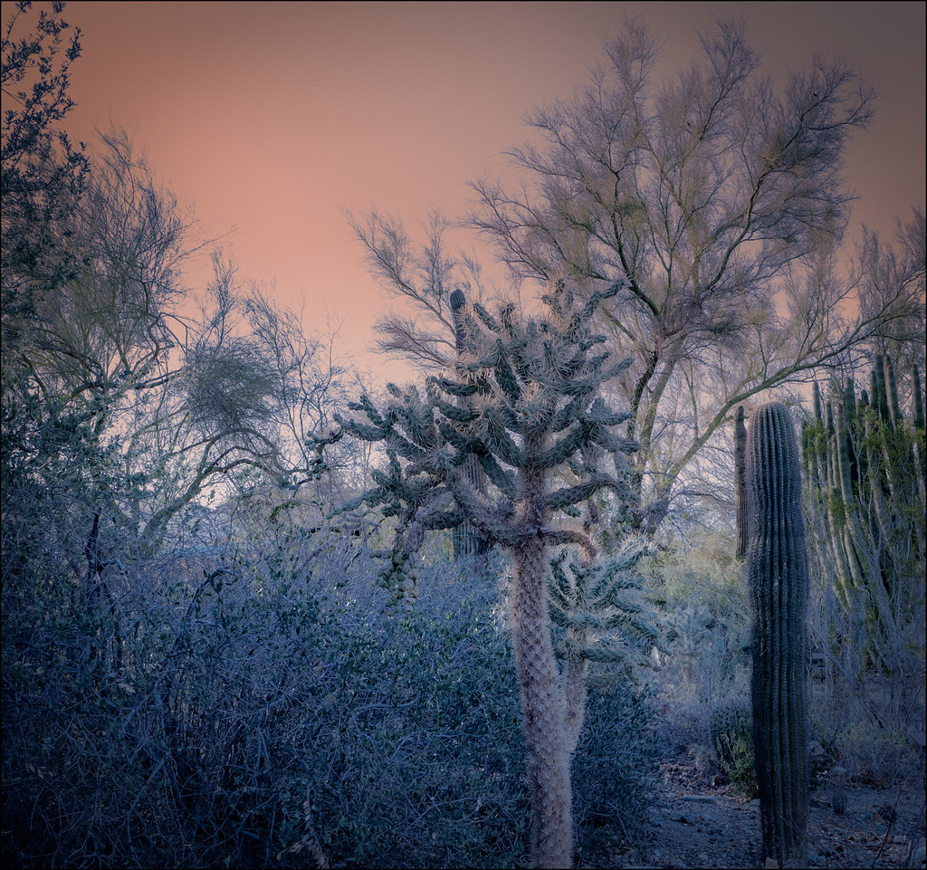
palm clouds

ALL I NEED IS THE AIR THAT I BREATHE... in/out of Explore

KRAAAAAAZZZZZZY KLOUDS

Beauty and Grace

Avenue 48 (Mono) - 9 November 2015
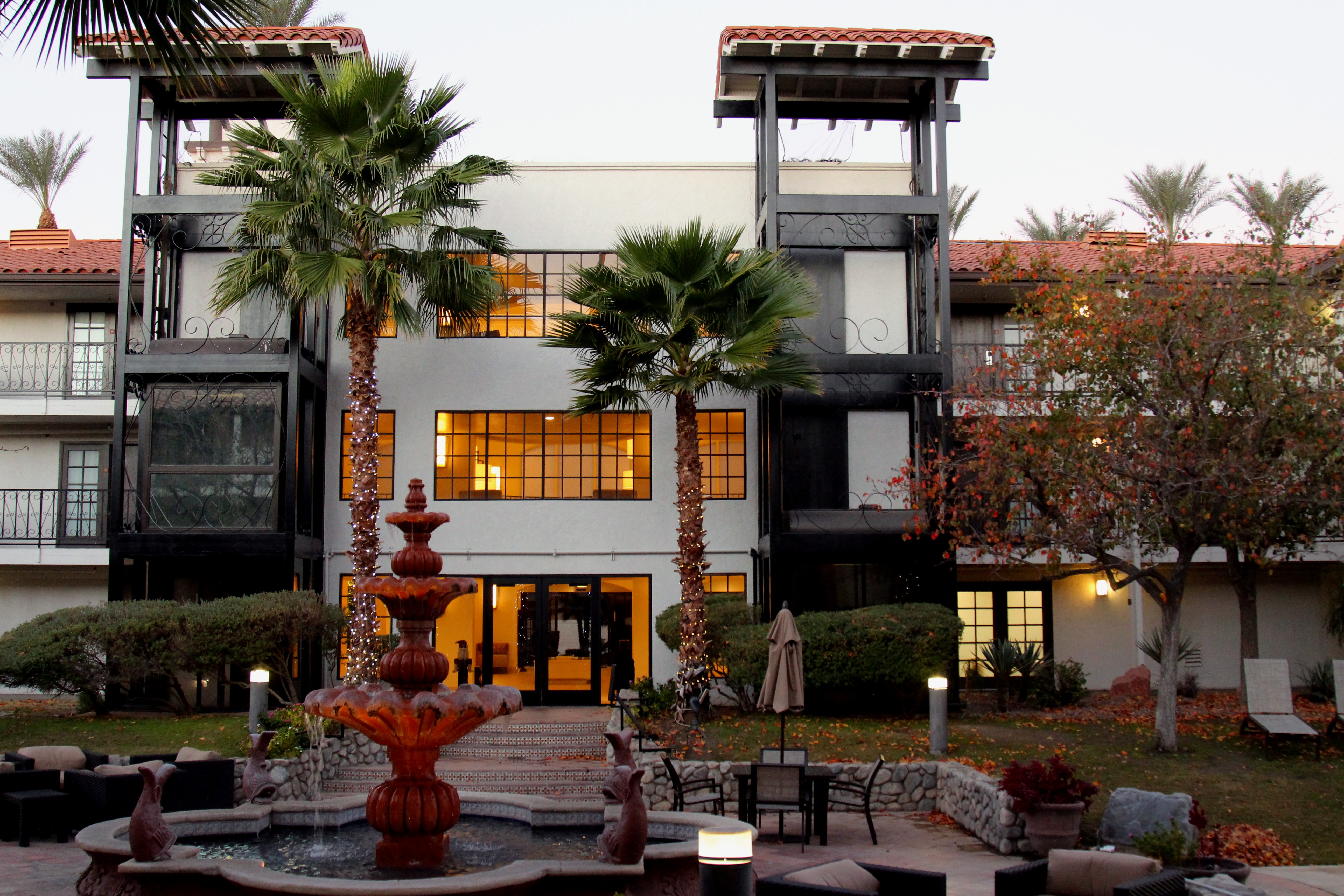
Embassy Suites Palm Desert

The Stripes Of A Fence

Mountain View Country Club

Palm Springs, California

I Just Adore A Penthouse View

Tough Water Hole
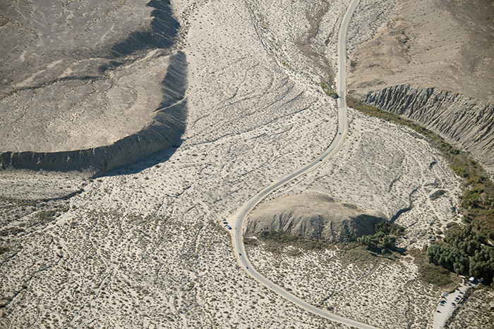
Above Thousand Palms Oasis and the Mission Creek strand of the San Andreas Fault

Indian Wells Golf Resort
It's Palm Springs Modernism Week!

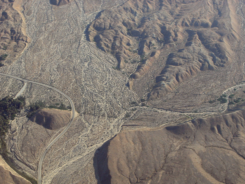
Above Indian Wells, La Quinta, Point Happy, and the Indian Wells Tennis Garden, Riverside County, California

Aerial view of Point Happy and the Indian Wells Tennis Garden, Coachella Valley, California

I Just Adore A Penthouse View

Aerial view of Point Happy, Whitewater River, and Santa Rosa Ranges, Coachella Valley, California

Embassy Suites Palm Desert
Above the San Andreas fault and Thousand Palms Oasis, Indio Hills, Riverside County, California

Above intersection of I-10 and Highway 86, Indio and Coachella, California
the sensitive kind - 2012

I'm a Giraffe

Cahuilla Tewanet Vista Point

Santa Rosa Virga

January 2013 Landscape II

Pond at the Living Desert
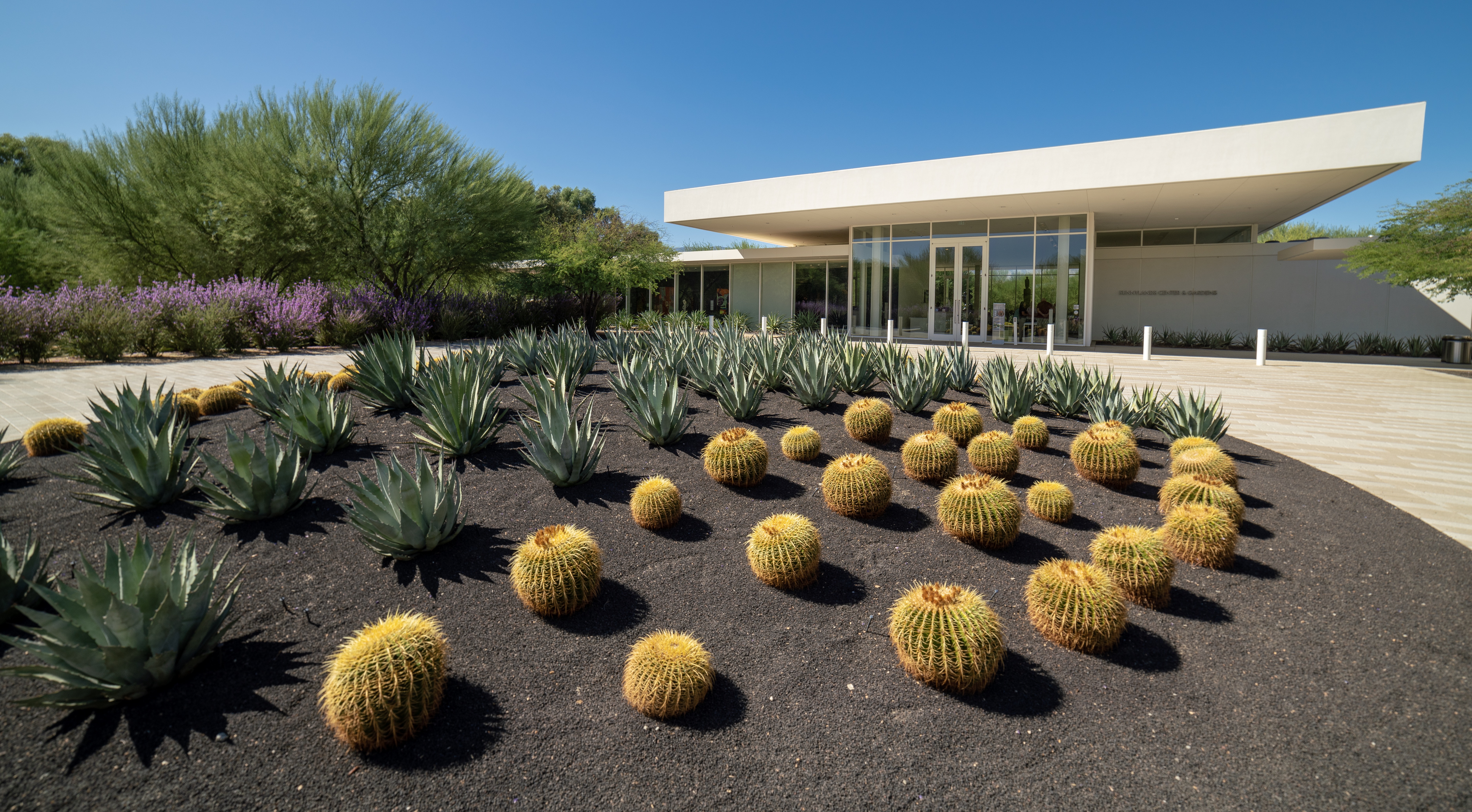
Sunnylands Visitor's Center Entrance

IV Mirage 03.12.12

Annenberg Estate Gardens

Indian Wells 03

Annenberg Estate Gardens

Sunnylands Visitor's Center
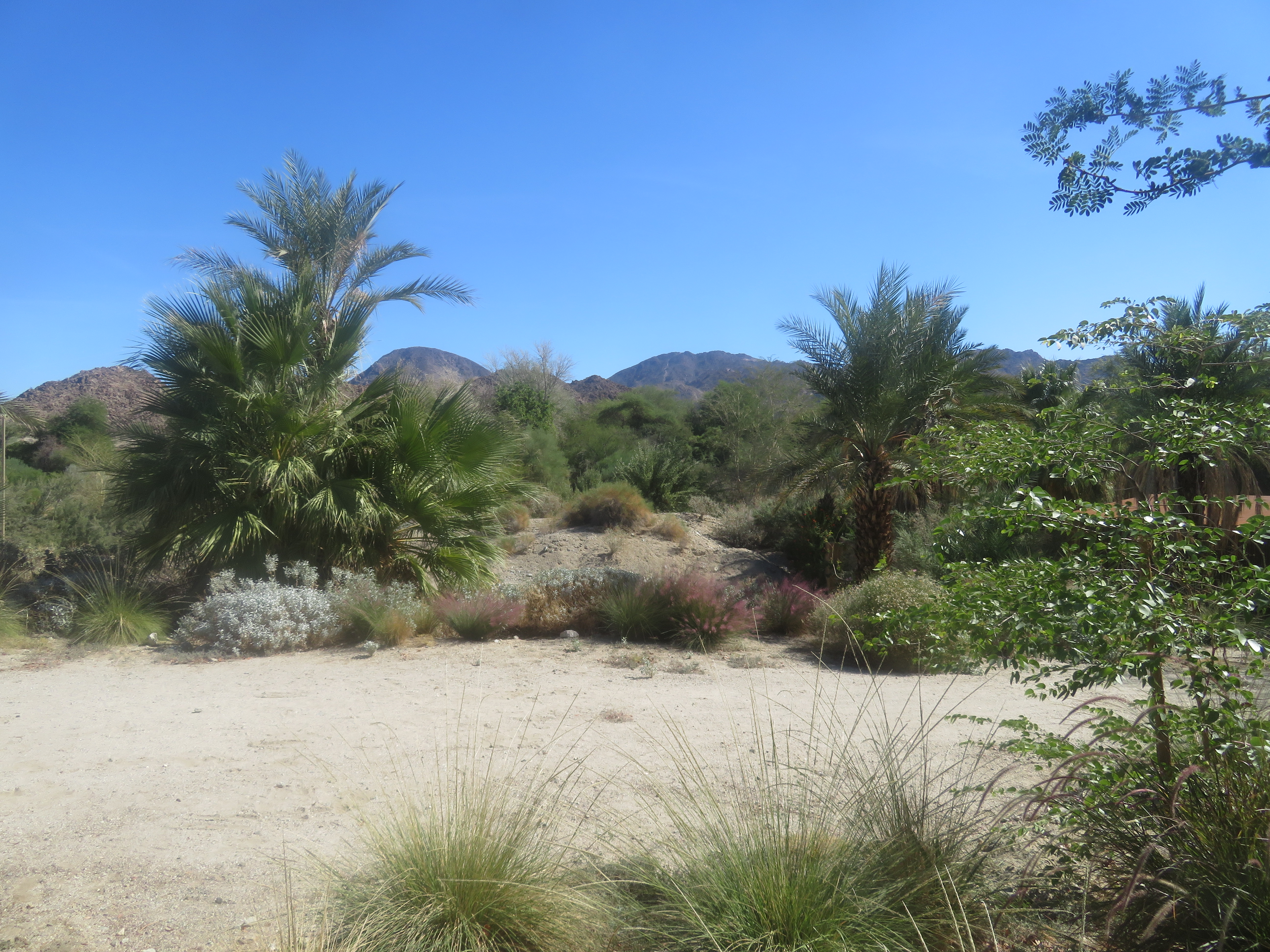
Desert plants at the Living Desert.

Giraffe and Ibex enclosure.

Pastel Shades

Aerial view of Sun City Shadow Hills, Indio, Coachella Valley, Riverside County, California
Photo Stream

Aerial view of the San Andreas Fault Zone, Indio Hills, Riverside County, California

Panoramic view from Pushwalla Trail
Topographic Map of Palo Verde Dr, Indian Wells, CA, USA
Find elevation by address:

Places near Palo Verde Dr, Indian Wells, CA, USA:
74460 Parosella St
75311 Painted Desert Dr
44-985 Province Way
44988 St Helena Ct
Indian Wells
Eisenhower Mountain
La Quinta Resort Mountain Course
Schubert Way, Indian Wells, CA, USA
Missouri Dr, Palm Desert, CA, USA
78200 Miles Ave
Miles Avenue
Hidden Canyon Country Club
La Quinta Country Club
Indian Wells Tennis Garden
78225 Cortez Ln Unit 186
46810 Highland Palms Dr
La Quinta
La Quinta, CA, USA
51200 Calle Paloma
42570 Maracay Pl
Recent Searches:
- Elevation of Corso Fratelli Cairoli, 35, Macerata MC, Italy
- Elevation of Tallevast Rd, Sarasota, FL, USA
- Elevation of 4th St E, Sonoma, CA, USA
- Elevation of Black Hollow Rd, Pennsdale, PA, USA
- Elevation of Oakland Ave, Williamsport, PA, USA
- Elevation of Pedrógão Grande, Portugal
- Elevation of Klee Dr, Martinsburg, WV, USA
- Elevation of Via Roma, Pieranica CR, Italy
- Elevation of Tavkvetili Mountain, Georgia
- Elevation of Hartfords Bluff Cir, Mt Pleasant, SC, USA