Elevation of Calle Paloma, La Quinta, CA, USA
Location: United States > California > Riverside County > La Quinta >
Longitude: -116.29301
Latitude: 33.677193
Elevation: 14m / 46feet
Barometric Pressure: 101KPa
Elevation Map:
Satellite Map:
Related Photos:
ALL I NEED IS THE AIR THAT I BREATHE... in/out of Explore

Mother Nature vs. Pole Power
Sunrise 11_8_2010

view of the pond
The Westin Desert Willow Villas, Palm Desert—Desert Willow Golf Course View of Main Club House. Click on thumbnail for more information about this asset.

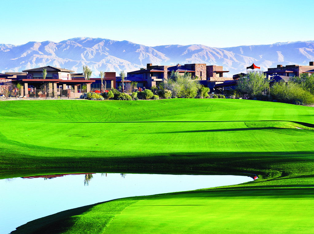
The Westin Desert Willow Villas, Palm Desert—Golf Course View of Main Club House

Above intersection of I-10 and Highway 86, Indio and Coachella, California
Aerial view of Point Happy and the Indian Wells Tennis Garden, Coachella Valley, California
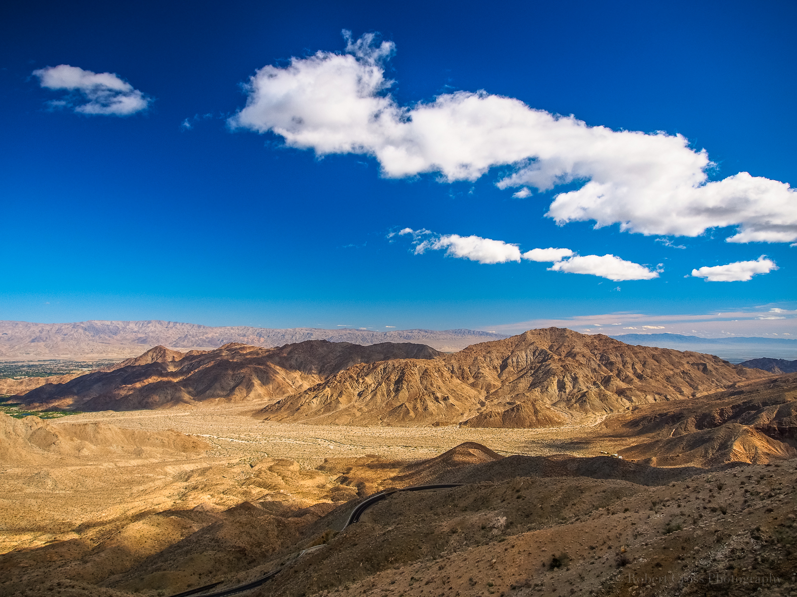
TURNOUT ON HIGHWAY 74
Excuse Me, Your Shoe Lace Is Untied
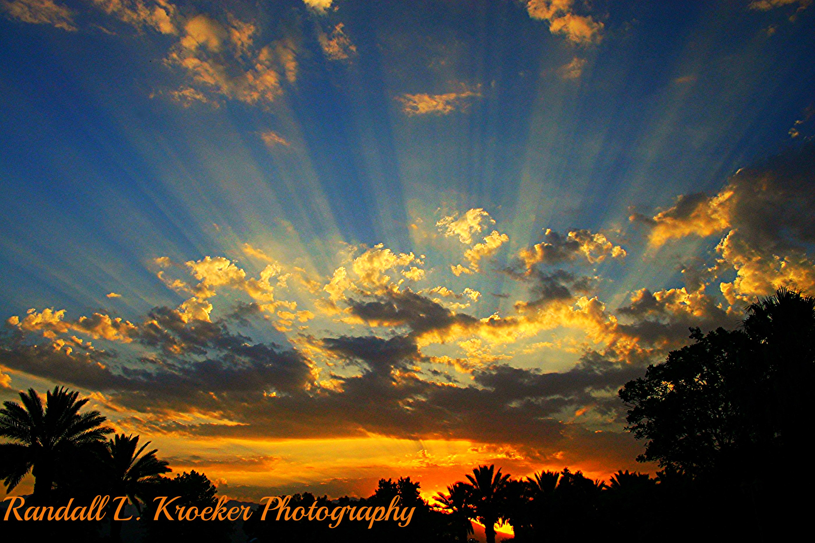
Morning Sunrise Clouds_1
KRAAAAAAZZZZZZY KLOUDS

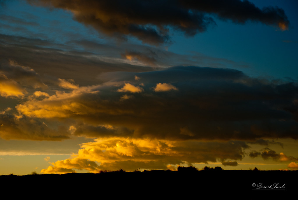
Morning Sunrise Clouds_2
Beauty and Grace

"First on Street Light"
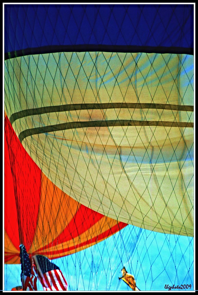
Balloons and American Flag (Image Preservation Project)
View from the front

Above Granite Construction Quarry, Indio, Riverside County, California

#Pretty #Sunset over the #golfcourse in #psp #laquinta #palmtrees #view #sun #sky #beautiful #palm

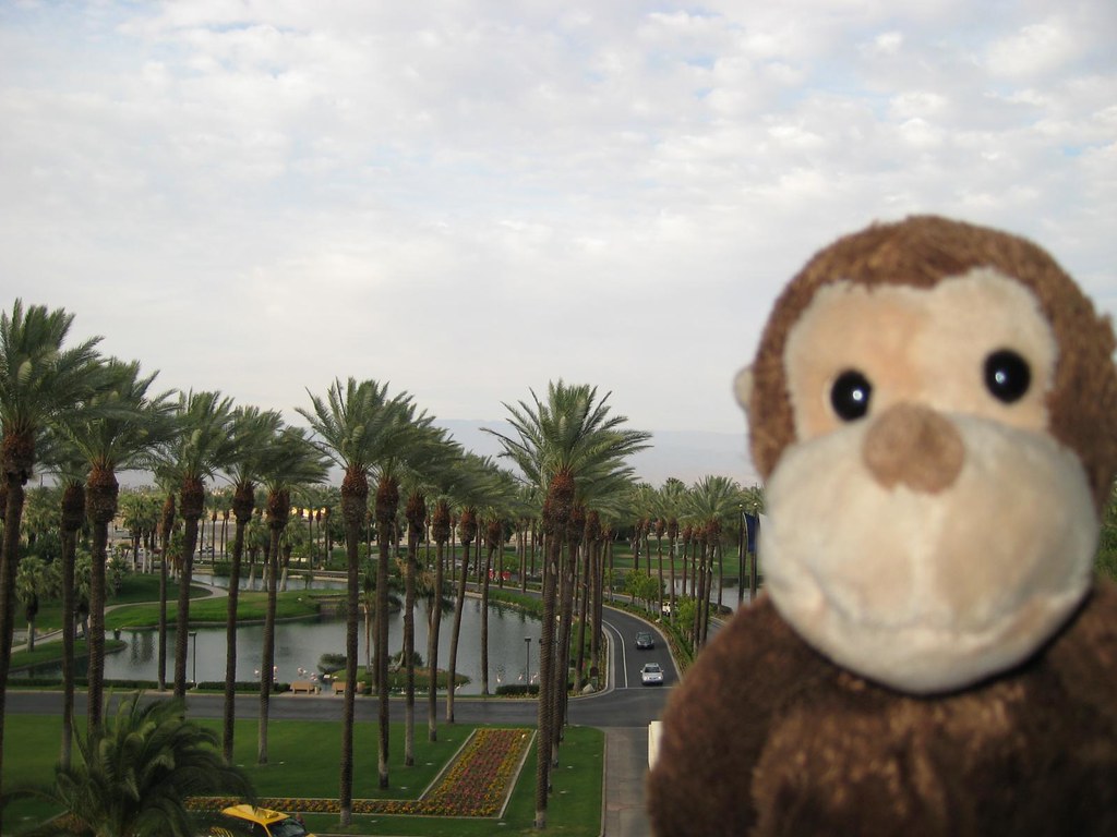
the view from the condo #teamtwerkchella
That Moment Of Realization
Photo Stream

Desert Plateau
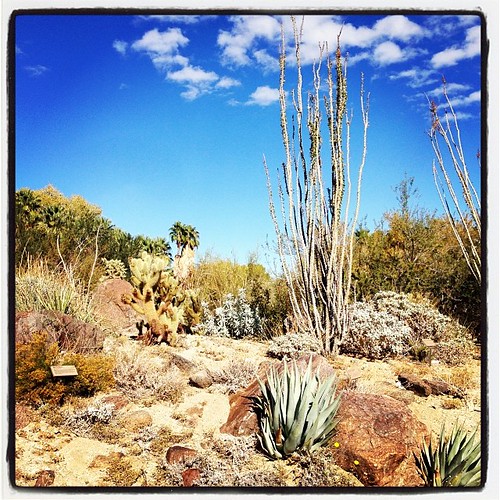
Fox Tails
White Tree
desert glow
Pines to Palms
Landscape 06.12.12
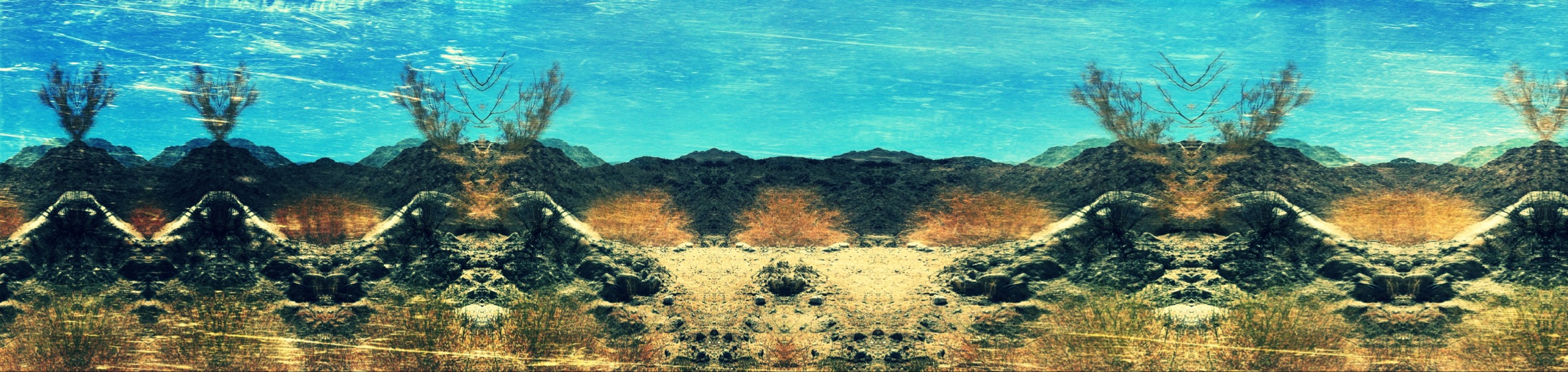
Imagined Landscape VIII
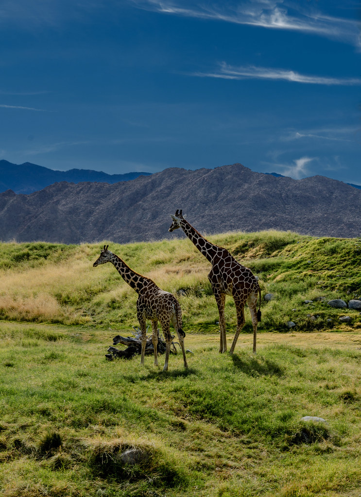
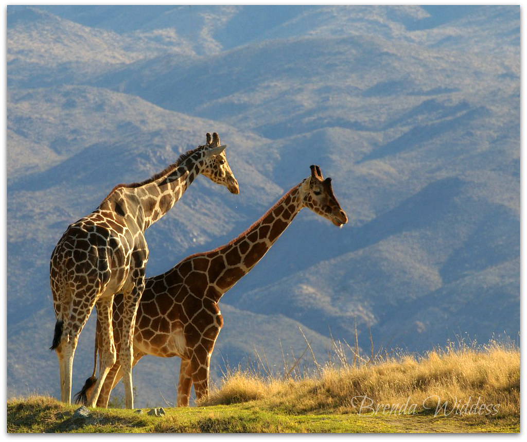
Giraffes at the Living Desert
IV Mirage 03.12.12

Giraffe Pasture

Grazing Giraffes

Desert / Rock / Landscape 05.30.12
#sidewalk #golfcourse #justwatered
Life & Death

Separate from you
Palm Desert 634
The Living Desert
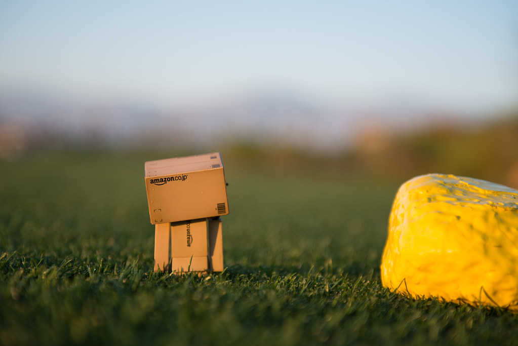
Danbo Ready to Tee Off
Topographic Map of Calle Paloma, La Quinta, CA, USA
Find elevation by address:

Places near Calle Paloma, La Quinta, CA, USA:
La Quinta, CA, USA
78930 Citrus
La Quinta Country Club
La Quinta Resort Mountain Course
La Quinta, CA, USA
Hidden Canyon Country Club
La Quinta
48020 Vía Vallarta
46810 Highland Palms Dr
78225 Cortez Ln Unit 186
80540 Via Talavera
55054 Firestone
Ave 48, Indio, CA, USA
79440 Corporate Centre Dr
80525 Apricot Ln
Pga Boulevard
80448 Pebble Beach
80611 Cherry Hills Dr
Schubert Way, Indian Wells, CA, USA
Pga West Private Clubhouse & Golf Courses
Recent Searches:
- Elevation of Corso Fratelli Cairoli, 35, Macerata MC, Italy
- Elevation of Tallevast Rd, Sarasota, FL, USA
- Elevation of 4th St E, Sonoma, CA, USA
- Elevation of Black Hollow Rd, Pennsdale, PA, USA
- Elevation of Oakland Ave, Williamsport, PA, USA
- Elevation of Pedrógão Grande, Portugal
- Elevation of Klee Dr, Martinsburg, WV, USA
- Elevation of Via Roma, Pieranica CR, Italy
- Elevation of Tavkvetili Mountain, Georgia
- Elevation of Hartfords Bluff Cir, Mt Pleasant, SC, USA