Elevation of Apricot Ln, Indio, CA, USA
Location: United States > California > Riverside County > Indio >
Longitude: -116.25964
Latitude: 33.6930011
Elevation: 13m / 43feet
Barometric Pressure: 101KPa
Elevation Map:
Satellite Map:
Related Photos:

The Long & Winding Road

Empire Polo Club, La Quinta, California

La Quinta, California

La Quinta, California

La Quinta, California

palm clouds

ALL I NEED IS THE AIR THAT I BREATHE... in/out of Explore

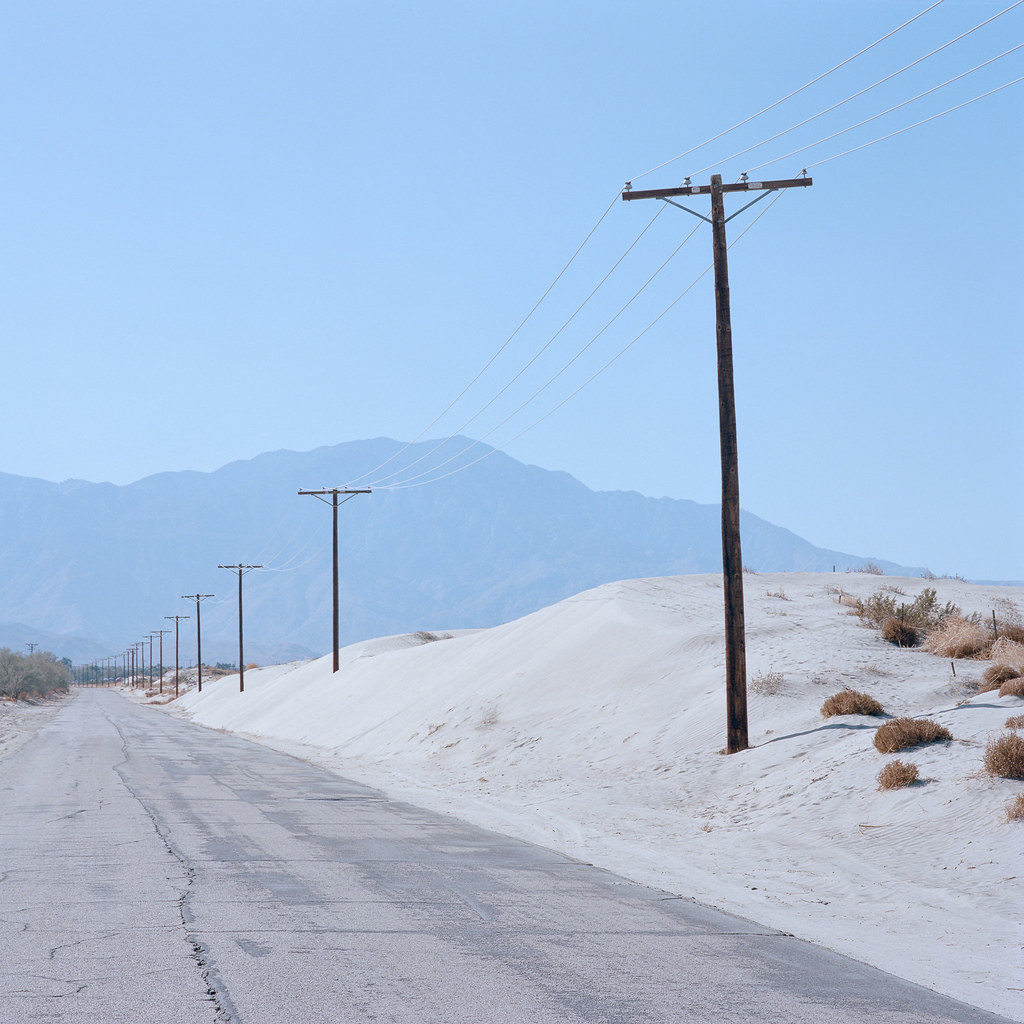
Desert Road

Panoramic view from Pushwalla Trail

Aerial view of the San Andreas Fault Zone, Indio Hills, Riverside County, California

Mountain View Country Club

Tough Water Hole

Above Indian Wells, La Quinta, Point Happy, and the Indian Wells Tennis Garden, Riverside County, California

Aerial view of Willis Palms, Indio Hills, California

Dillon Road, where it crosses over the San Andreas Fault, Coachella, Riverside County, California

Above intersection of I-10 and Highway 86, Indio and Coachella, California—II

Aerial view of Point Happy and the Indian Wells Tennis Garden, Coachella Valley, California

Embassy Suites Palm Desert

I Just Adore A Penthouse View

Aerial view to south, along Jefferson Street, Indio and La Quinta, California

La Quinta, California

Imagined Landscape VIII

La Quinta, California

La Quinta, California

Moon Gaze

Palm to Pines Hwy 74 - Palm Desert, CA
long distance. palm desert, ca. 2019.

prarie flowers Burmuda Dunes

Life in the Desert -Springtime

White Tree

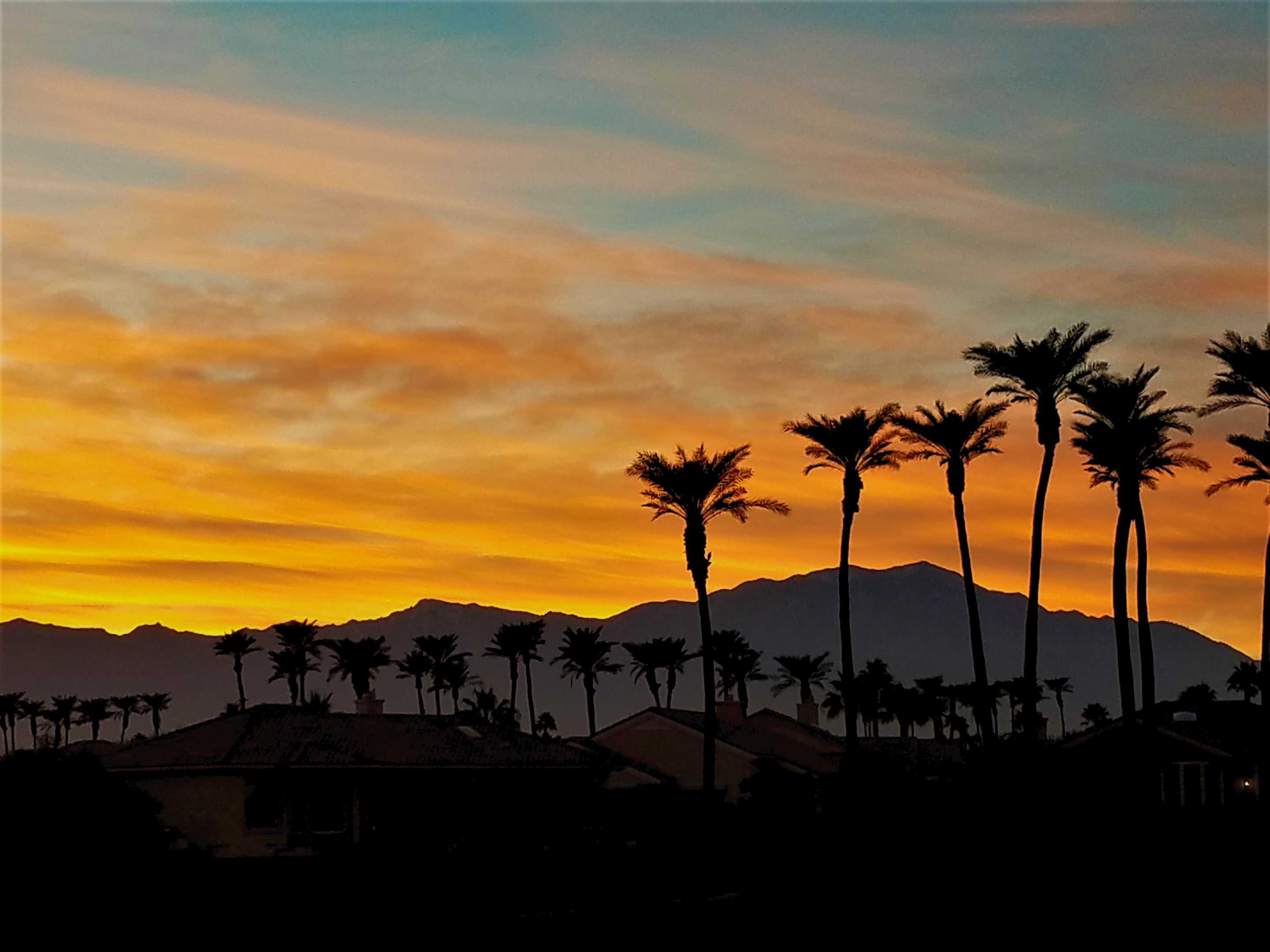
desert glow

Aerial view of Sun City Shadow Hills, Indio, Coachella Valley, Riverside County, California

permitted burn. thermal, ca. 2019.

Pushwalla Trail
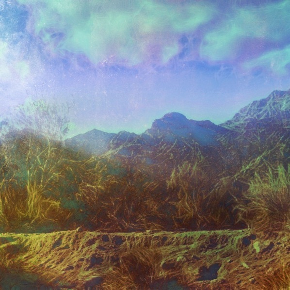
Photo Stream
Palm Springs Vista
Topographic Map of Apricot Ln, Indio, CA, USA
Find elevation by address:

Places near Apricot Ln, Indio, CA, USA:
Ave 48, Indio, CA, USA
80540 Via Talavera
Neil's Lounge
CA-, Indio, CA, USA
48020 Vía Vallarta
San Salvador, Indio, CA, USA
Smoketree Apartments
79440 Corporate Centre Dr
Coachella Valley Music And Arts Festival
49817 Mclaine Dr
78930 Citrus
82389 Samantha Ct
81318 Peary Pl
45060 Desert Hills Ct
51200 Calle Paloma
28786 Blazing Star Trail
79470 Calle Palmeto
La Quinta, CA, USA
54001 Madison St
46810 Highland Palms Dr
Recent Searches:
- Elevation of Corso Fratelli Cairoli, 35, Macerata MC, Italy
- Elevation of Tallevast Rd, Sarasota, FL, USA
- Elevation of 4th St E, Sonoma, CA, USA
- Elevation of Black Hollow Rd, Pennsdale, PA, USA
- Elevation of Oakland Ave, Williamsport, PA, USA
- Elevation of Pedrógão Grande, Portugal
- Elevation of Klee Dr, Martinsburg, WV, USA
- Elevation of Via Roma, Pieranica CR, Italy
- Elevation of Tavkvetili Mountain, Georgia
- Elevation of Hartfords Bluff Cir, Mt Pleasant, SC, USA