Elevation of Blazing Star Trail, La Quinta, CA, USA
Location: United States > California > Riverside County > La Quinta >
Longitude: -116.27476
Latitude: 33.726906
Elevation: 20m / 66feet
Barometric Pressure: 101KPa
Elevation Map:
Satellite Map:
Related Photos:
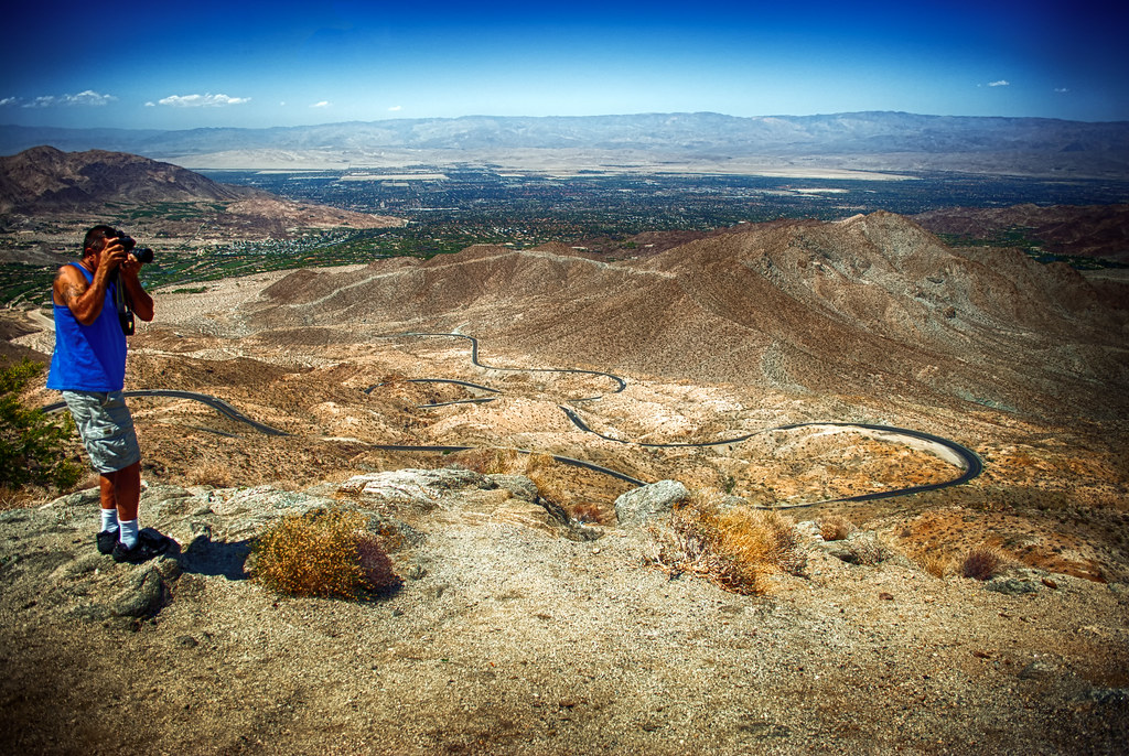
Excuse Me, Your Shoe Lace Is Untied
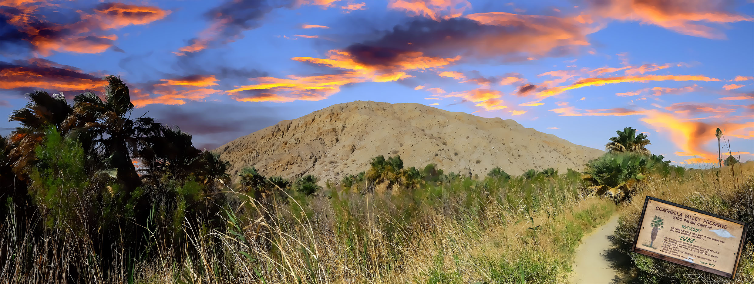
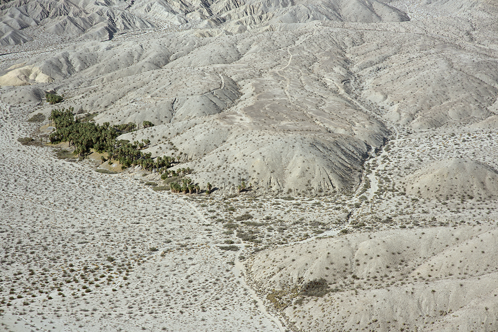
1000 Palms Oasis Preserve / 1000 Palms Canyon
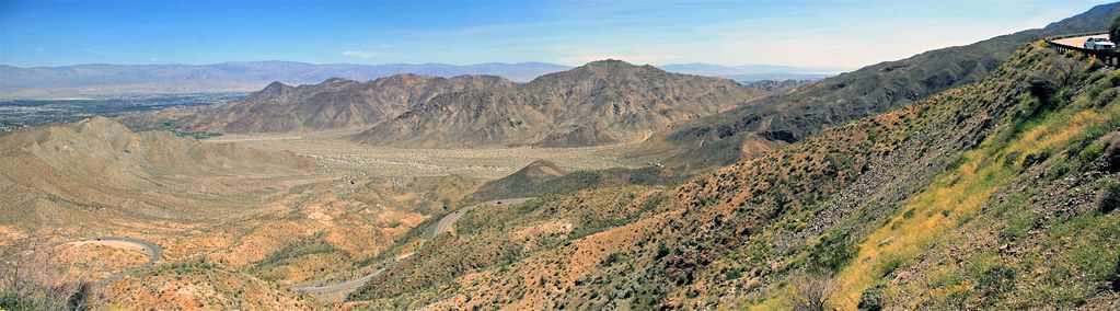
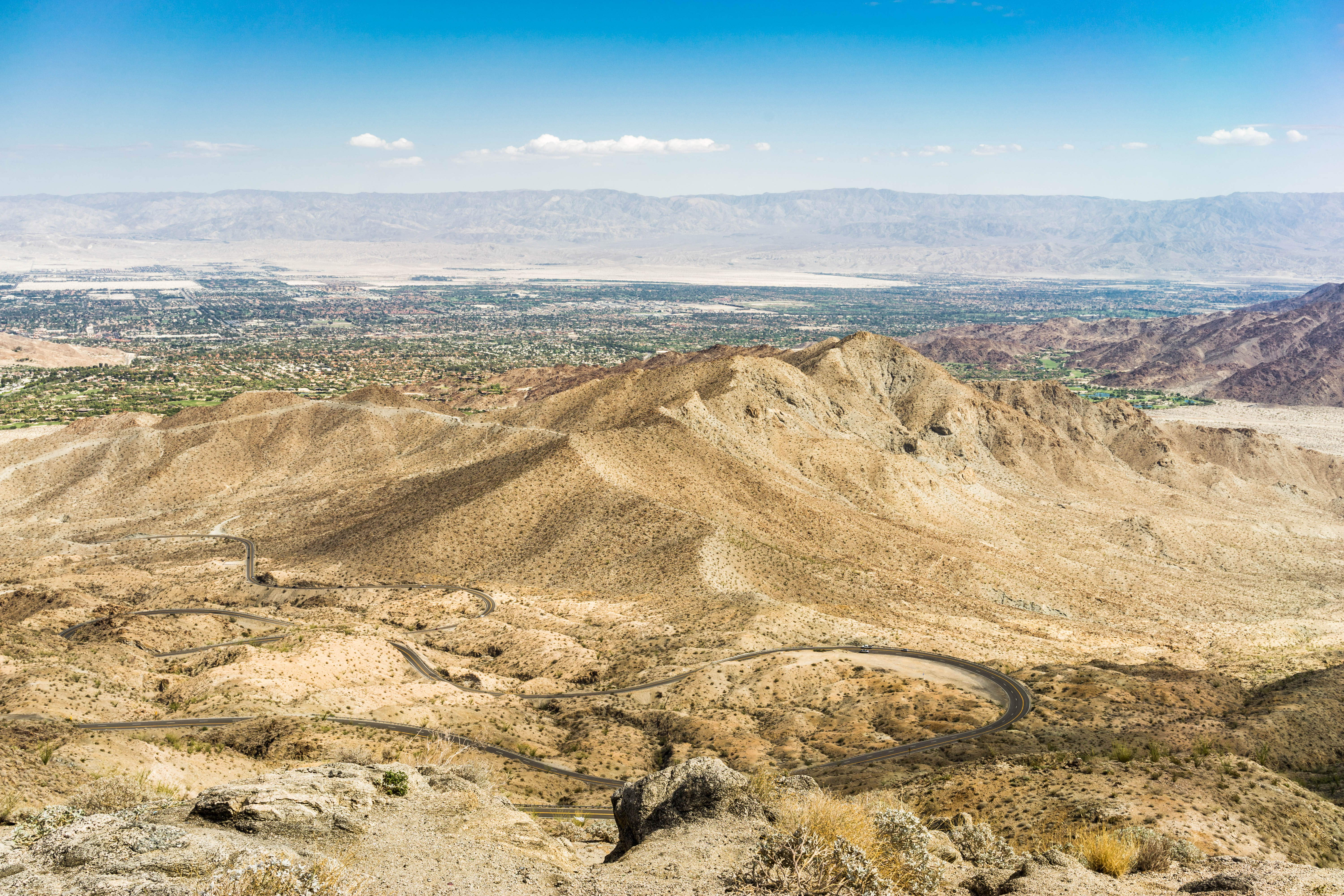
Coachella Valley Panorama
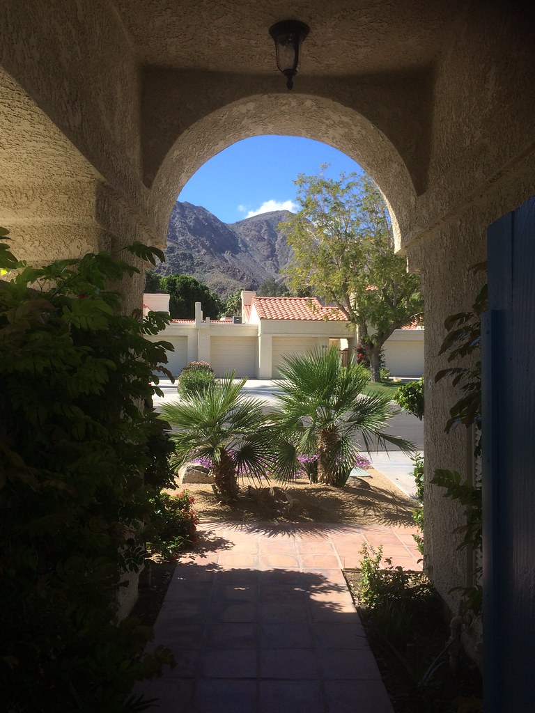
view out the front - Santa Rosa Cove
Aerial view of Willis Palms, Indio Hills, California
An arrow in the sand, Riverside County, California
Sky View
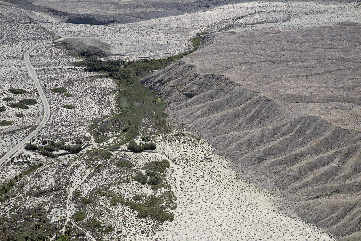
Aerial view of Thousand Palms Oasis and the Mission Creek Fault, Indio Hills, Riverside County, California

KRAAAAAAZZZZZZY KLOUDS

ALL I NEED IS THE AIR THAT I BREATHE... in/out of Explore
Beauty and Grace

Morning Sunrise Clouds_2

Mother Nature vs. Pole Power

Storm Brewing

Sunrise 11_8_2010
Doesn't get much better. Loved ones, sudoku, and a great view!

"First on Street Light"
It's Palm Springs Modernism Week!

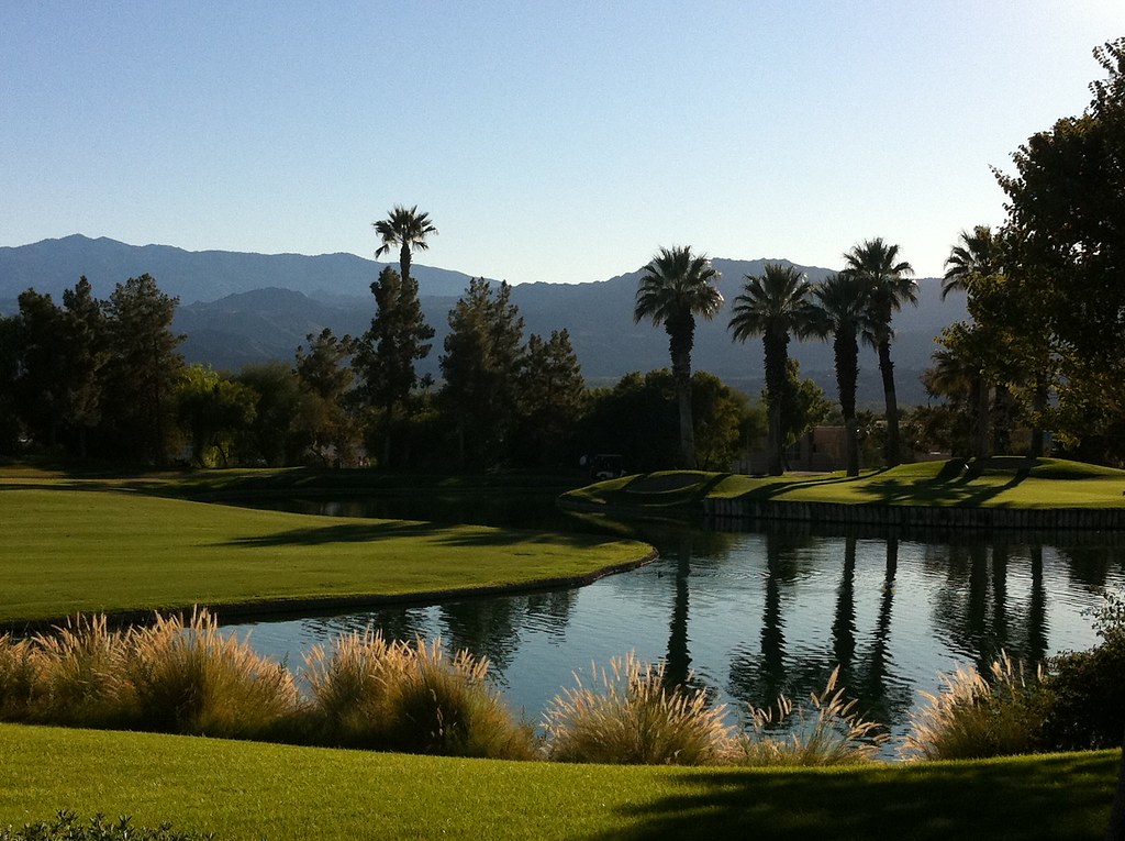
The Westin Desert Willow Villas, Palm Desert—Desert Willow Golf Course View of Main Club House. Click on thumbnail for more information about this asset.

The Westin Desert Willow Villas, Palm Desert—Golf Course View of Main Club House

Balloons and American Flag (Image Preservation Project)

I'm a Giraffe

Imagined Landscape VIII
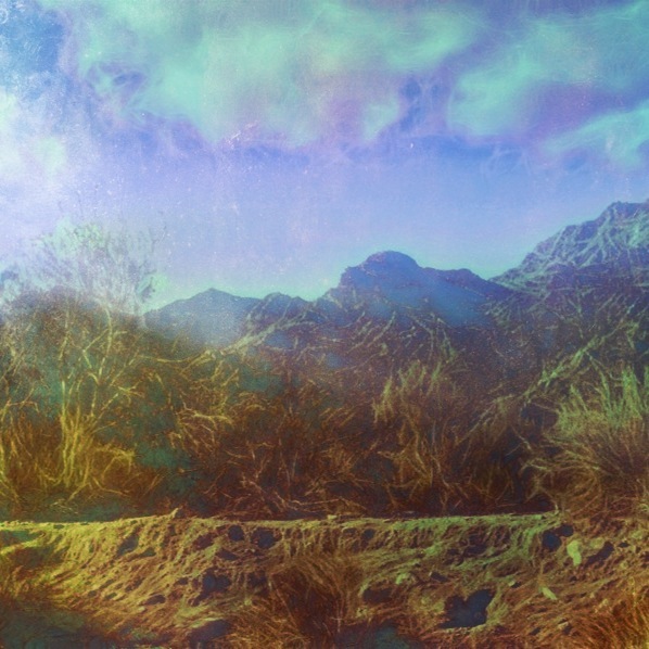
Photo Stream

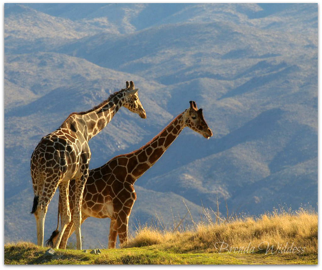
Giraffe Pasture
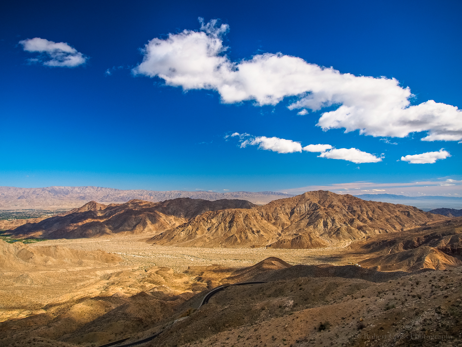
Desert mountain high ????

I'm a Cheetah
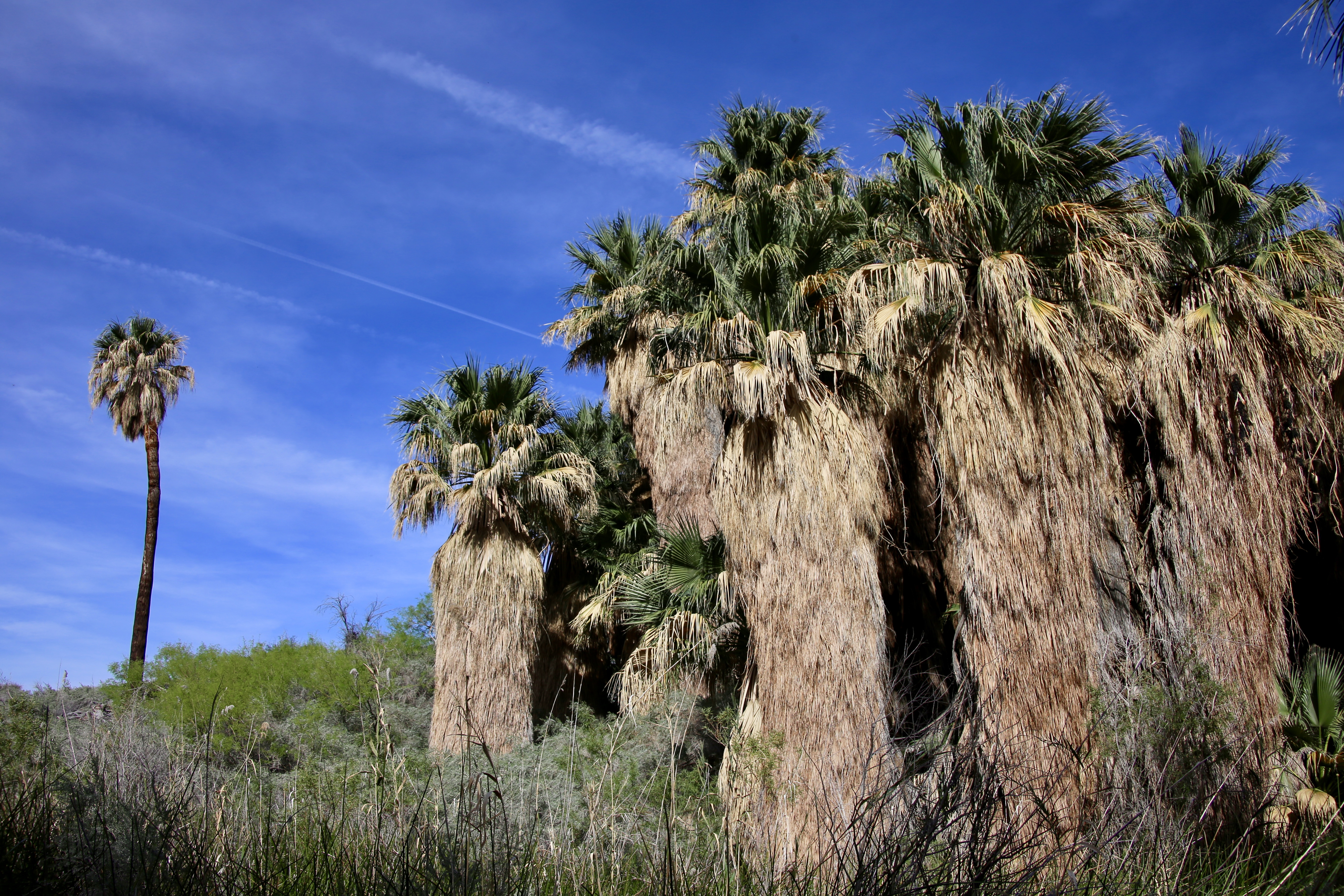
Thousand Palms Oasis, Coachella Valley, CA
Cat-2659_-2_-3.jpg

#hwy74vistapoint #beard #beardedphotographer #musclebearphotographer #mountains
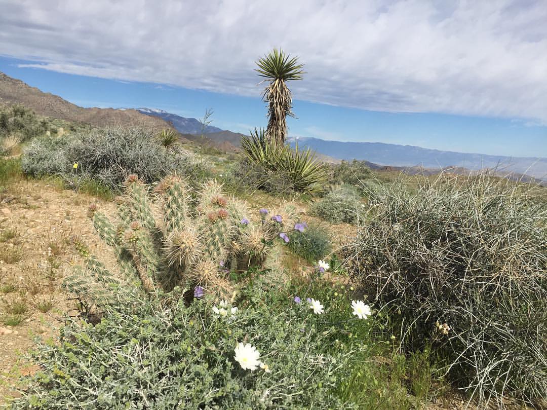
#angledview #textures: #flowersandclouds #coachellavalleypreserve #omroamsuccess #kamaprana
La Quinta
Giraffes at the Living Desert
IV Mirage 03.12.12

Grazing Giraffes
White Tree

January 2013 Landscape II
Pines to Palms Highway
Pines to Palms
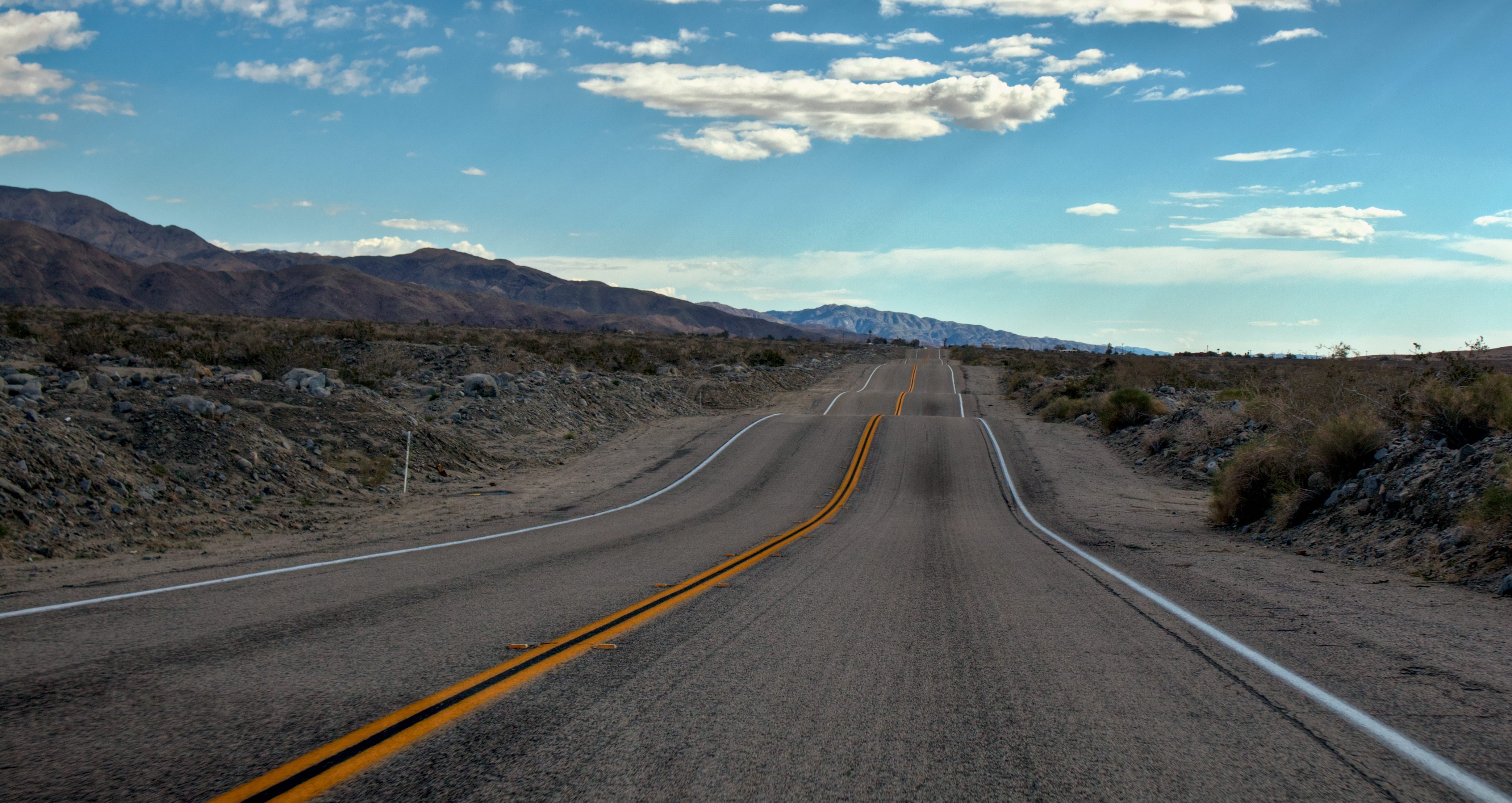
Driving to #LaQuinta #CoachellaValley #Vistapoint

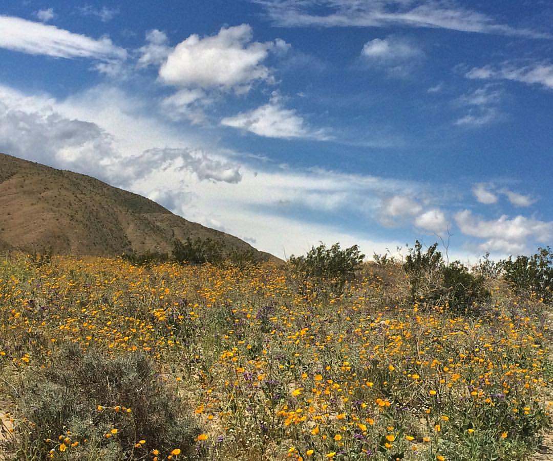
Desert / Rock / Landscape 05.30.12
Topographic Map of Blazing Star Trail, La Quinta, CA, USA
Find elevation by address:

Places near Blazing Star Trail, La Quinta, CA, USA:
79470 Calle Palmeto
45060 Desert Hills Ct
79440 Corporate Centre Dr
Bermuda Dunes Airport (udd)
42570 Maracay Pl
Bermuda Dunes
CA-, Indio, CA, USA
Ave 48, Indio, CA, USA
48020 Vía Vallarta
46810 Highland Palms Dr
Neil's Lounge
Indian Wells Tennis Garden
Miles Avenue
78200 Miles Ave
Schubert Way, Indian Wells, CA, USA
78225 Cortez Ln Unit 186
Zandi Way, Indio, CA, USA
80525 Apricot Ln
Missouri Dr, Palm Desert, CA, USA
Hidden Canyon Country Club
Recent Searches:
- Elevation of Corso Fratelli Cairoli, 35, Macerata MC, Italy
- Elevation of Tallevast Rd, Sarasota, FL, USA
- Elevation of 4th St E, Sonoma, CA, USA
- Elevation of Black Hollow Rd, Pennsdale, PA, USA
- Elevation of Oakland Ave, Williamsport, PA, USA
- Elevation of Pedrógão Grande, Portugal
- Elevation of Klee Dr, Martinsburg, WV, USA
- Elevation of Via Roma, Pieranica CR, Italy
- Elevation of Tavkvetili Mountain, Georgia
- Elevation of Hartfords Bluff Cir, Mt Pleasant, SC, USA