Elevation of Bermuda Dunes, CA, USA
Location: United States > California > Riverside County >
Longitude: -116.28917
Latitude: 33.7427991
Elevation: 27m / 89feet
Barometric Pressure: 101KPa
Elevation Map:
Satellite Map:
Related Photos:

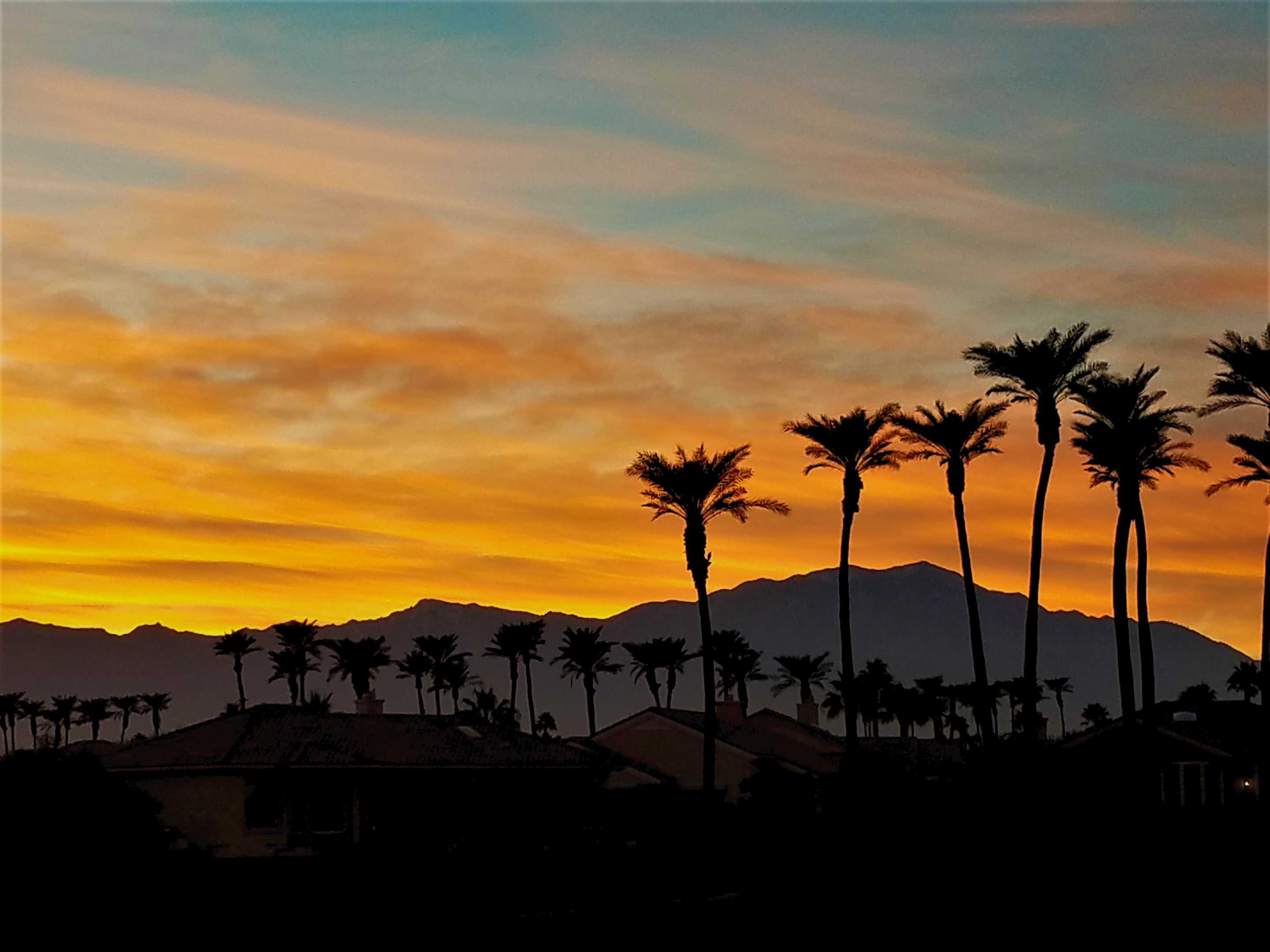
palm clouds
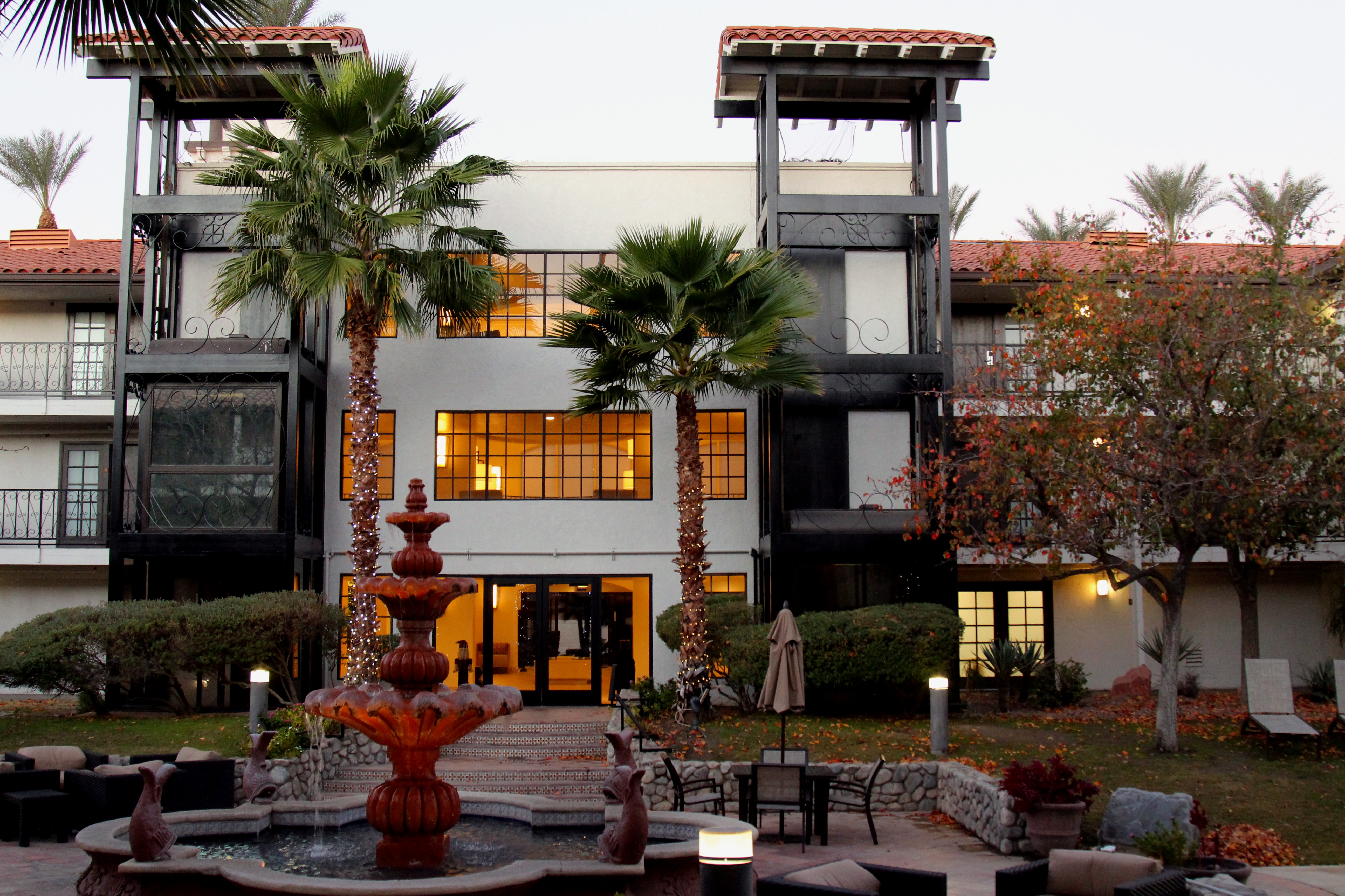
Embassy Suites Palm Desert

The Stripes Of A Fence

Palm Springs, California

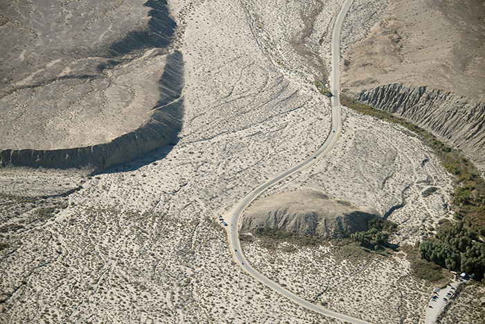
Aerial view of the San Andreas Fault Zone, Indio Hills, Riverside County, California

Balloons and American Flag (Image Preservation Project)
Above Thousand Palms Oasis and the Mission Creek strand of the San Andreas Fault

That Moment Of Realization

Above Thousand Palms Oasis and the Mission Creek Strand of the San Andreas Fault, Indio Hills, California

Aerial view of Willis Palms, Indio Hills, California

Above Indian Wells, La Quinta, Point Happy, and the Indian Wells Tennis Garden, Riverside County, California

Above intersection of I-10 and Highway 86, Indio and Coachella, California—II

Dillon Road, where it crosses over the San Andreas Fault, Coachella, Riverside County, California

An arrow in the sand, Riverside County, California

Embassy Suites Palm Desert

Above intersection of I-10 and Highway 86, Indio and Coachella, California

Morning Sunrise Clouds_1

ALL I NEED IS THE AIR THAT I BREATHE... in/out of Explore

KRAAAAAAZZZZZZY KLOUDS

Morning Sunrise Clouds_2

Beauty and Grace

I'm a Giraffe

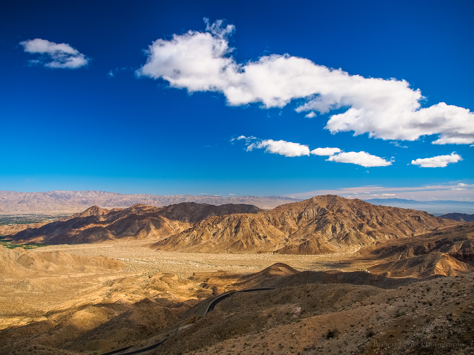
Santa Rosa Mountains and the Salton Sea

Pines to Palms Highway

Giraffes at the Living Desert

Palm to Pines Hwy 74 - Palm Desert, CA

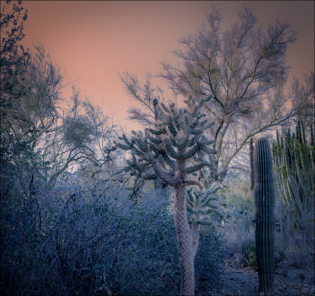
Life in the Desert -Springtime

White Tree

Sunnylands Visitor's Center
Pines to Palms
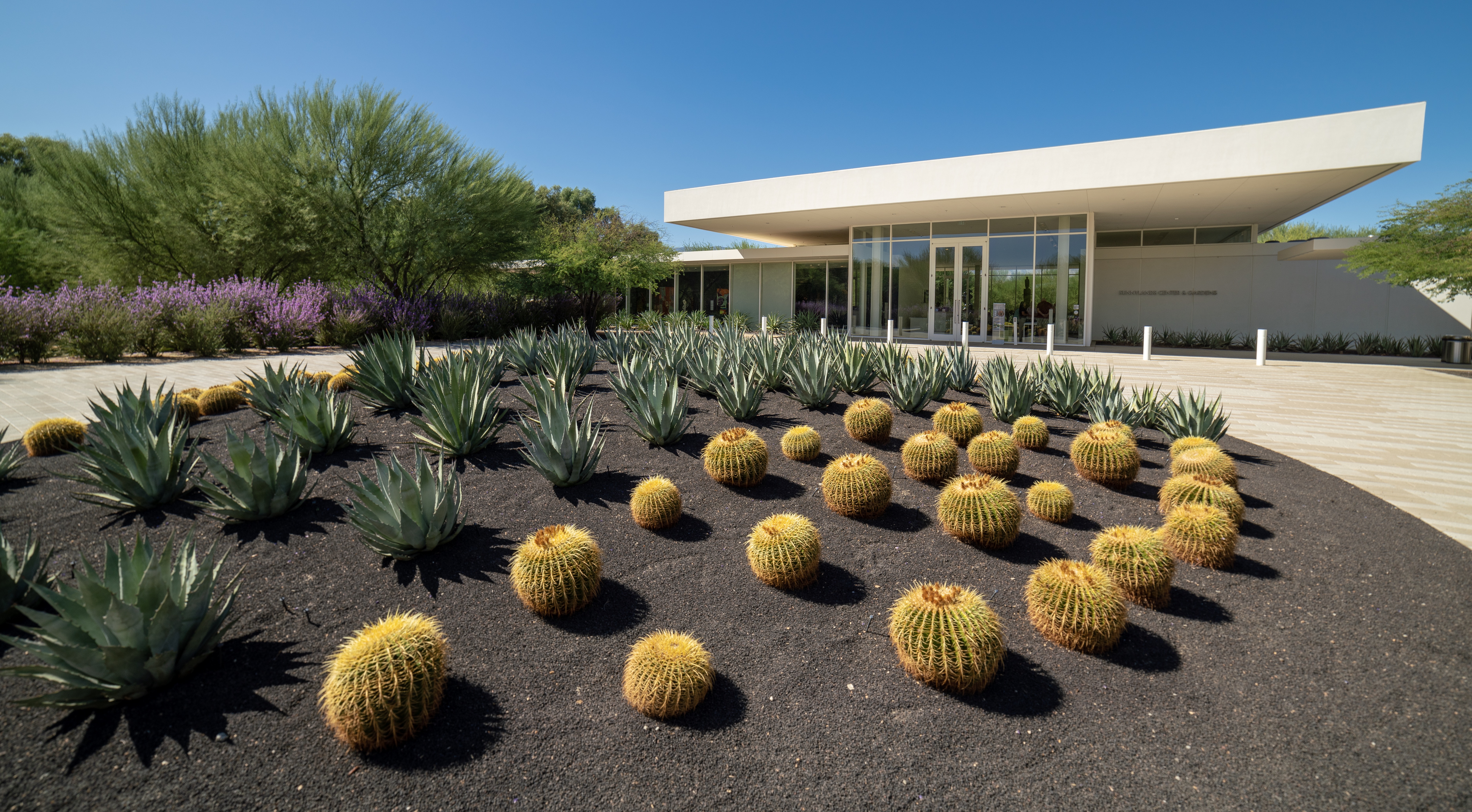
Sunnylands Visitor's Center Entrance

The Living Desert
Palm Springs Vista

Aerial view of Sun City Shadow Hills, Indio, Coachella Valley, Riverside County, California

Tough Water Hole

Panoramic view from Pushwalla Trail

I'm a Cheetah

Golf balls to the horizon

Imagined Landscape VIII
the sensitive kind - 2012
Topographic Map of Bermuda Dunes, CA, USA
Find elevation by address:

Places near Bermuda Dunes, CA, USA:
42570 Maracay Pl
Bermuda Dunes Airport (udd)
79470 Calle Palmeto
28786 Blazing Star Trail
Indian Wells Tennis Garden
45060 Desert Hills Ct
Missouri Dr, Palm Desert, CA, USA
78200 Miles Ave
Miles Avenue
Schubert Way, Indian Wells, CA, USA
79440 Corporate Centre Dr
46810 Highland Palms Dr
78225 Cortez Ln Unit 186
48020 Vía Vallarta
Ave 48, Indio, CA, USA
CA-, Indio, CA, USA
Hidden Canyon Country Club
Zandi Way, Indio, CA, USA
Neil's Lounge
Indian Wells
Recent Searches:
- Elevation of Corso Fratelli Cairoli, 35, Macerata MC, Italy
- Elevation of Tallevast Rd, Sarasota, FL, USA
- Elevation of 4th St E, Sonoma, CA, USA
- Elevation of Black Hollow Rd, Pennsdale, PA, USA
- Elevation of Oakland Ave, Williamsport, PA, USA
- Elevation of Pedrógão Grande, Portugal
- Elevation of Klee Dr, Martinsburg, WV, USA
- Elevation of Via Roma, Pieranica CR, Italy
- Elevation of Tavkvetili Mountain, Georgia
- Elevation of Hartfords Bluff Cir, Mt Pleasant, SC, USA