Elevation of Thelma Rd, Roanoke Rapids, NC, USA
Location: United States > North Carolina > Halifax County > Littleton >
Longitude: -77.769559
Latitude: 36.471612
Elevation: 61m / 200feet
Barometric Pressure: 101KPa
Elevation Map:
Satellite Map:
Related Photos:

2119 Canal Trail Map Img_16713

Ralph's BBQ
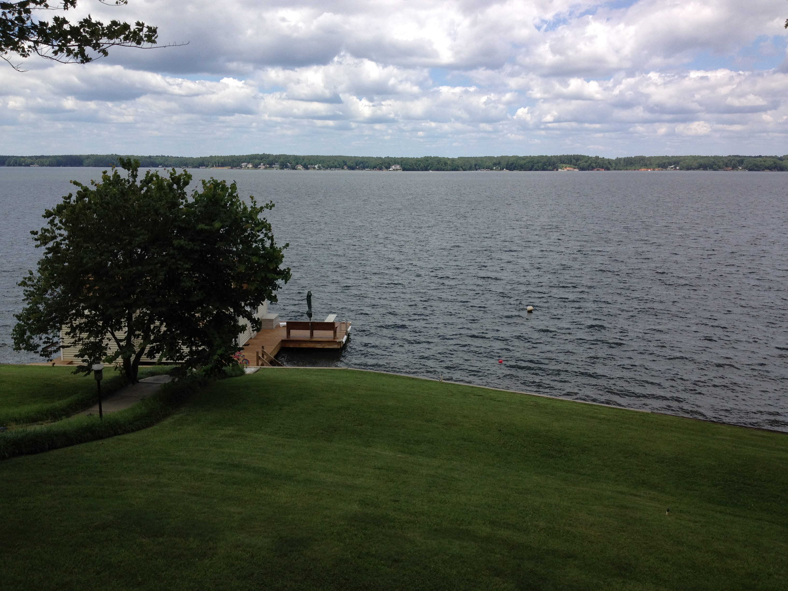
view from the deck

Monkeying Around
Side view

The view of the cove from the last stepping stone leading down to the water

DSC_3688 (Copy)
Black & White

Roanoke Rapids Sunset

gaston sunset
Yard_March_2012 007
Little Cove
The cove

Sunrise in Roanoke Rapids

jetski jumps
Lake Gaston 2

sunset lake

Logan and Jen in the water

Roanoke Rapids Lake 7792

sunset from the deck

Portrait 9147
Roanoke River, North Carolina! #train
Baird Farm
Baird Farm
Glassy Water

20160518-142010-Roanoke-Rapids-NC-N6592
Topographic Map of Thelma Rd, Roanoke Rapids, NC, USA
Find elevation by address:

Places near Thelma Rd, Roanoke Rapids, NC, USA:
72 Point Cir
Roanoke Rapids
Gaston
Zoo Rd N, Roanoke Rapids, NC, USA
215 Lakeview Dr
Henrico
River Rd, Henrico, NC, USA
1 Pastoral Park Dr, Roanoke Rapids, NC, USA
Littleton
44 St James Rd
535 Vance St
512 Franklin St
Piney Grove Church Rd, Littleton, NC, USA
Roanoke Rapids
Littleton, NC, USA
Bowers Rd, Littleton, NC, USA
640 Carolina St
Gaston
Garysburg Rd, Gaston, NC, USA
136 Elwyn Dr
Recent Searches:
- Elevation of Corso Fratelli Cairoli, 35, Macerata MC, Italy
- Elevation of Tallevast Rd, Sarasota, FL, USA
- Elevation of 4th St E, Sonoma, CA, USA
- Elevation of Black Hollow Rd, Pennsdale, PA, USA
- Elevation of Oakland Ave, Williamsport, PA, USA
- Elevation of Pedrógão Grande, Portugal
- Elevation of Klee Dr, Martinsburg, WV, USA
- Elevation of Via Roma, Pieranica CR, Italy
- Elevation of Tavkvetili Mountain, Georgia
- Elevation of Hartfords Bluff Cir, Mt Pleasant, SC, USA