Elevation of Bowers Rd, Littleton, NC, USA
Location: United States > North Carolina > Halifax County >
Longitude: -77.849828
Latitude: 36.3870577
Elevation: 81m / 266feet
Barometric Pressure: 100KPa
Elevation Map:
Satellite Map:
Related Photos:
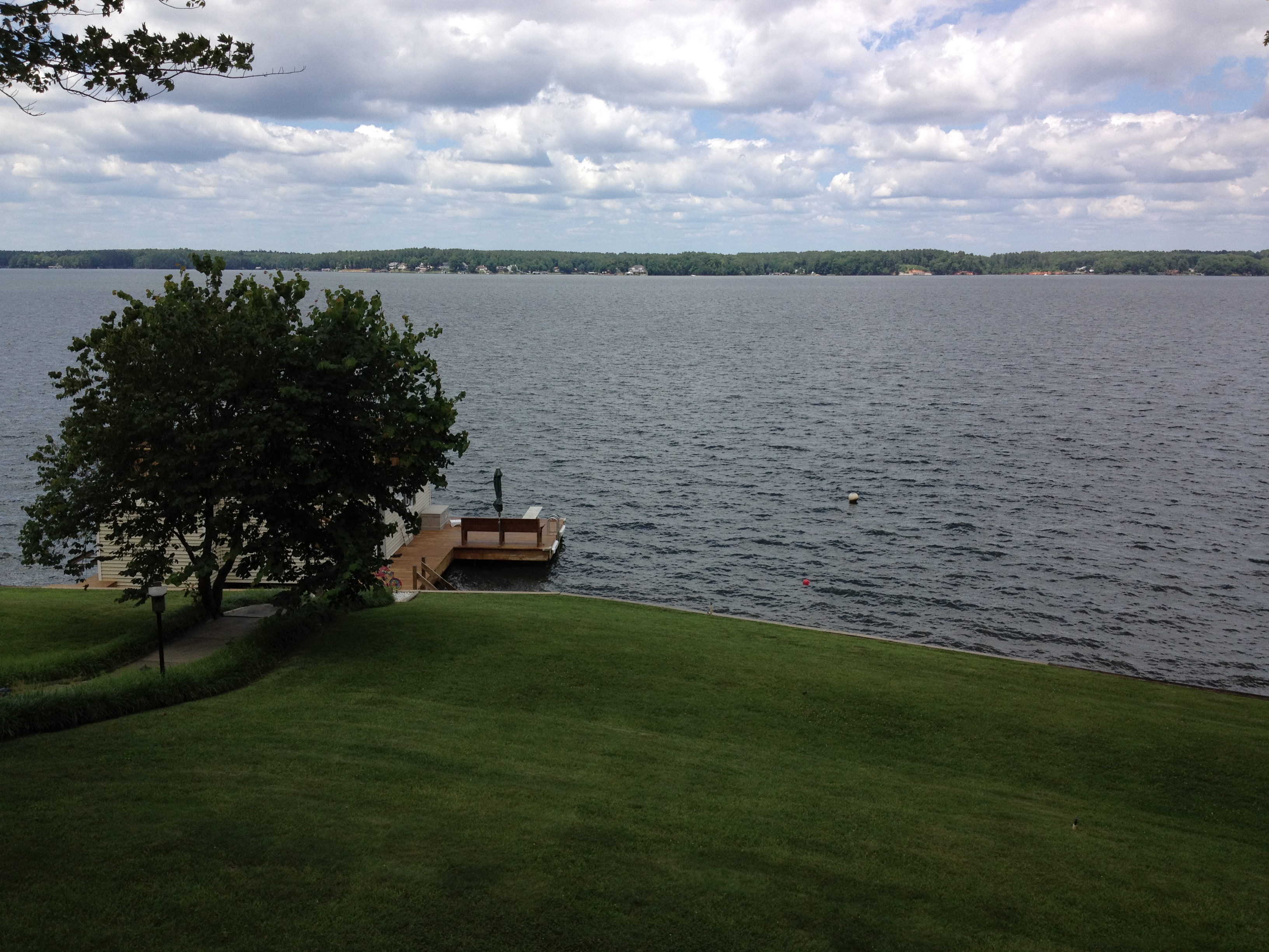
view from the deck

Monkeying Around
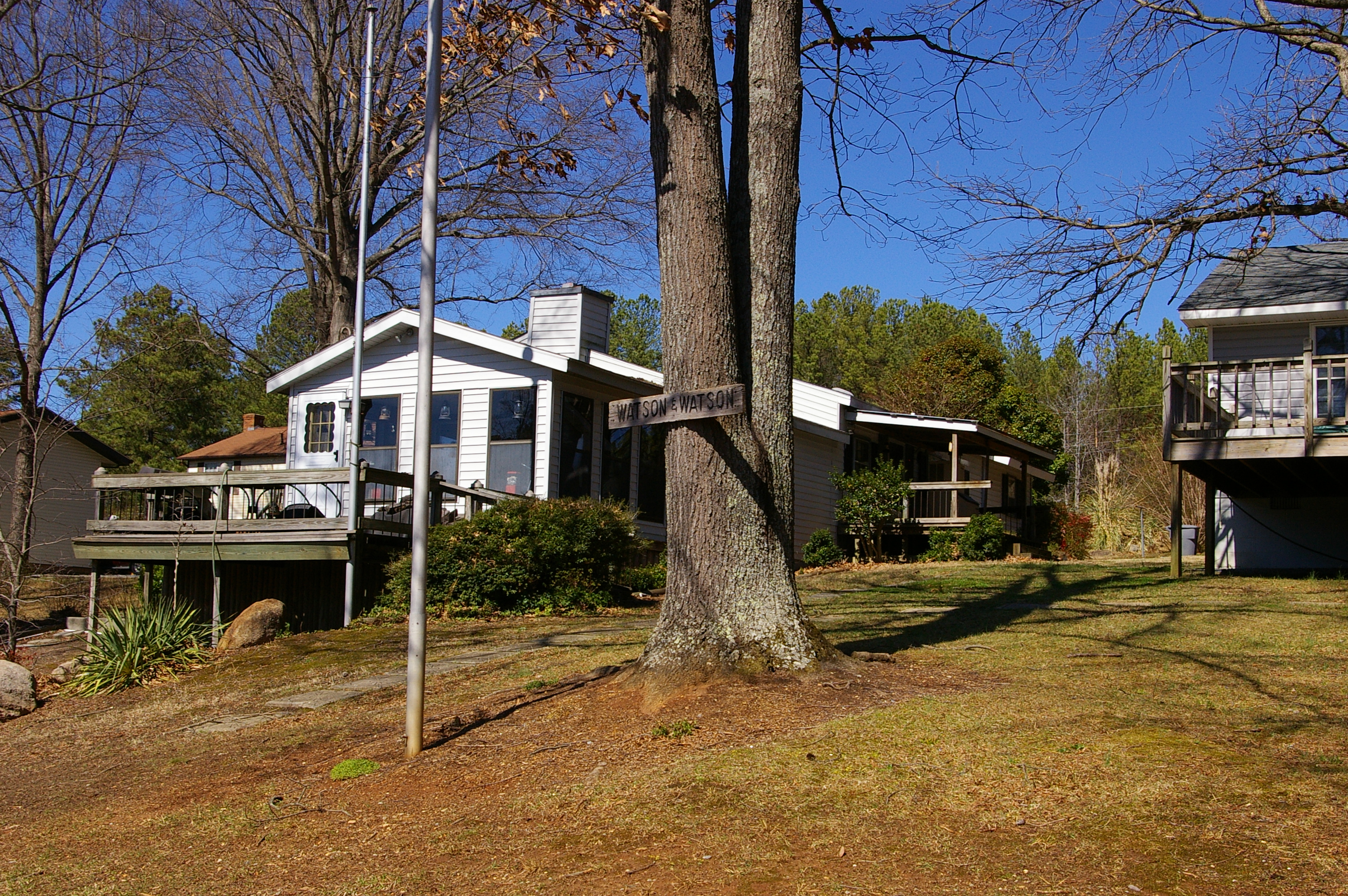
Side view

The view of the cove from the last stepping stone leading down to the water
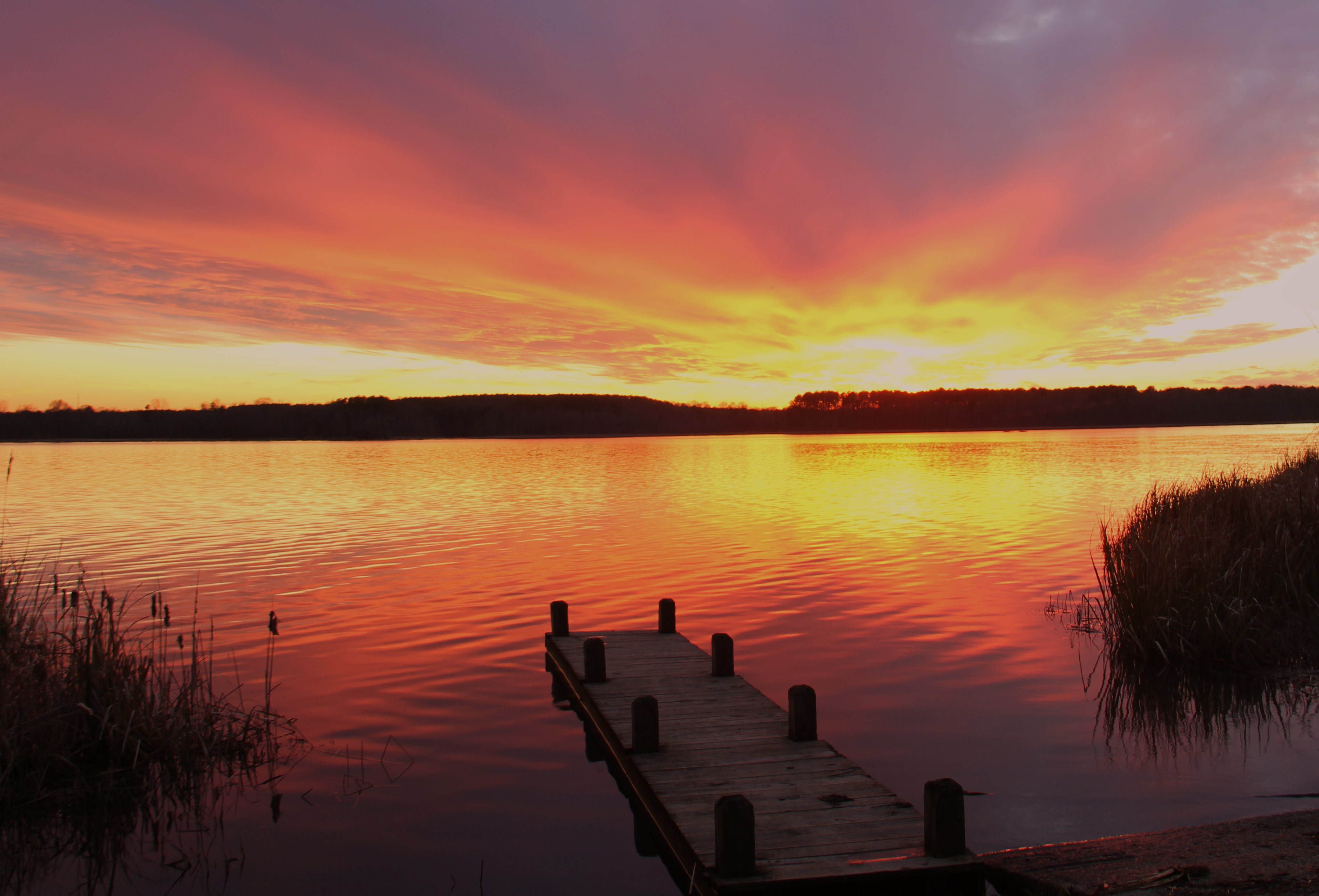
gaston sunset

Serenity #camp #lake #nc #igersnc

Gentle Dawn
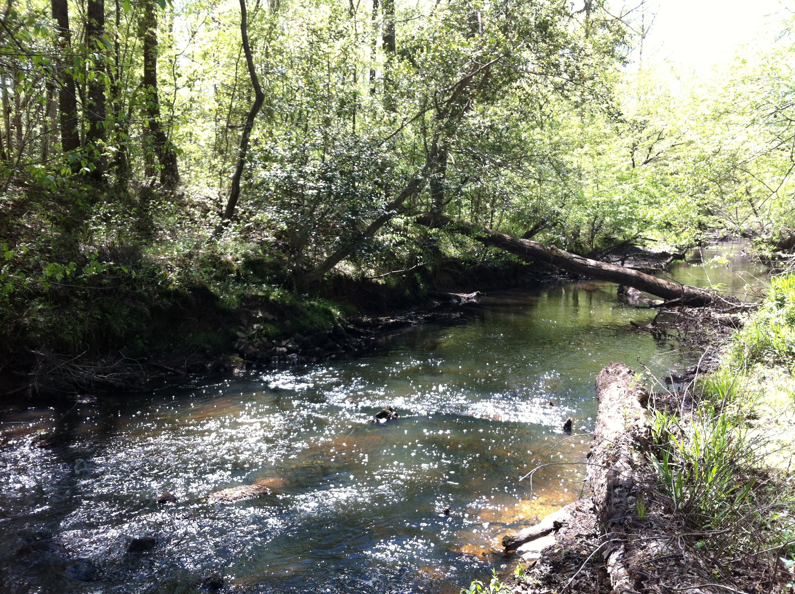
The cove
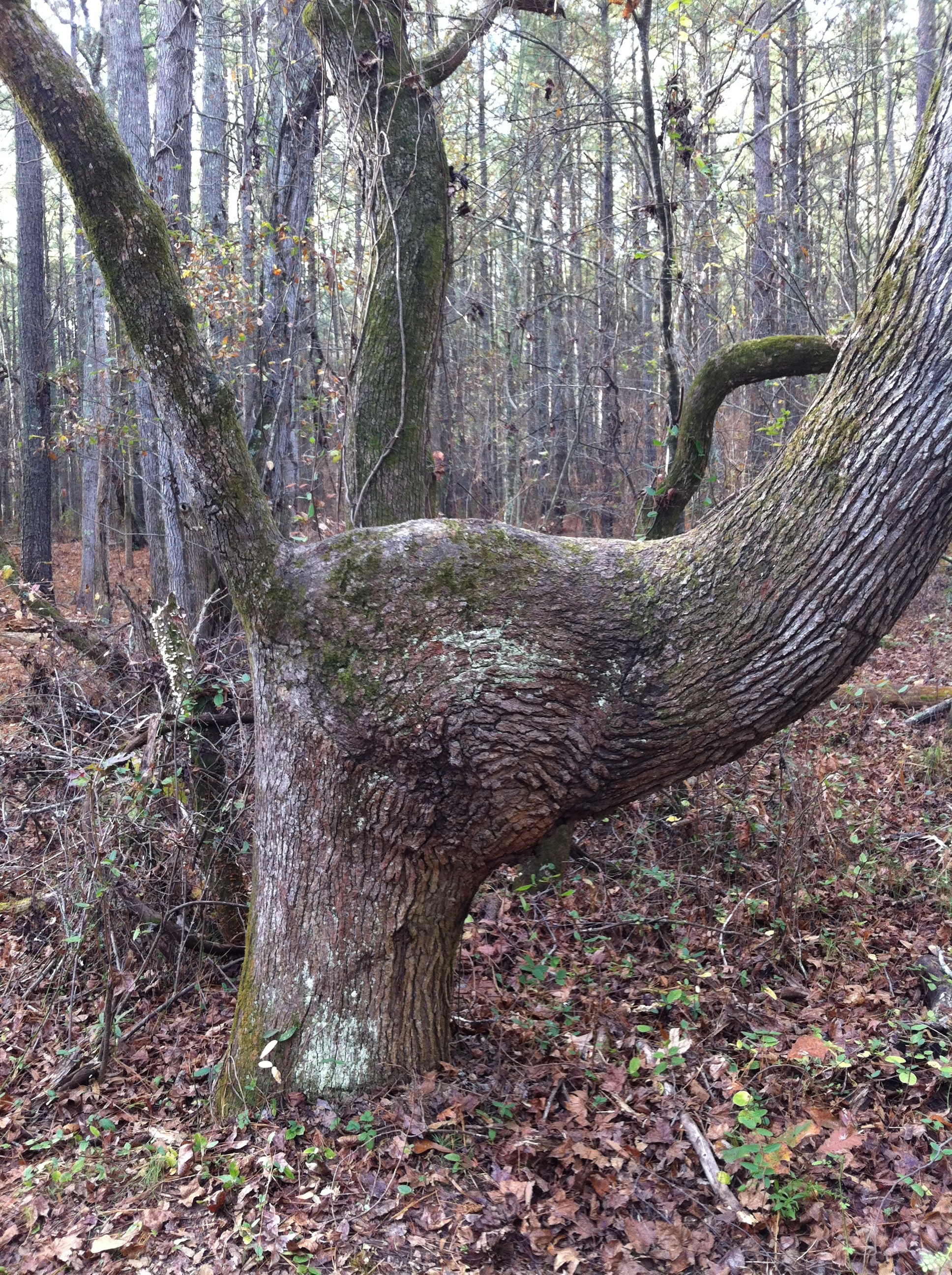
Medoc Mountain State Park

Medoc Mountain State Park
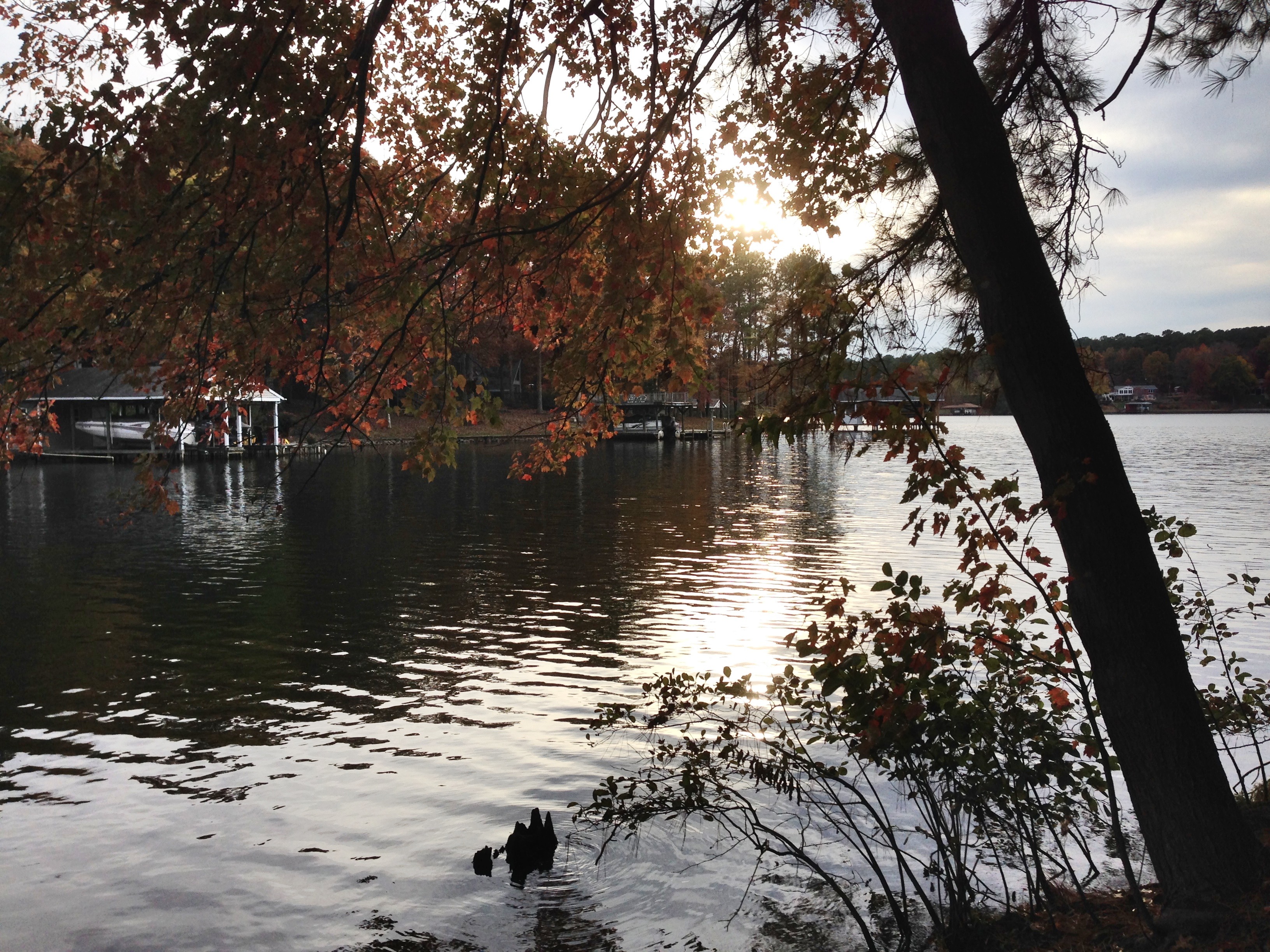
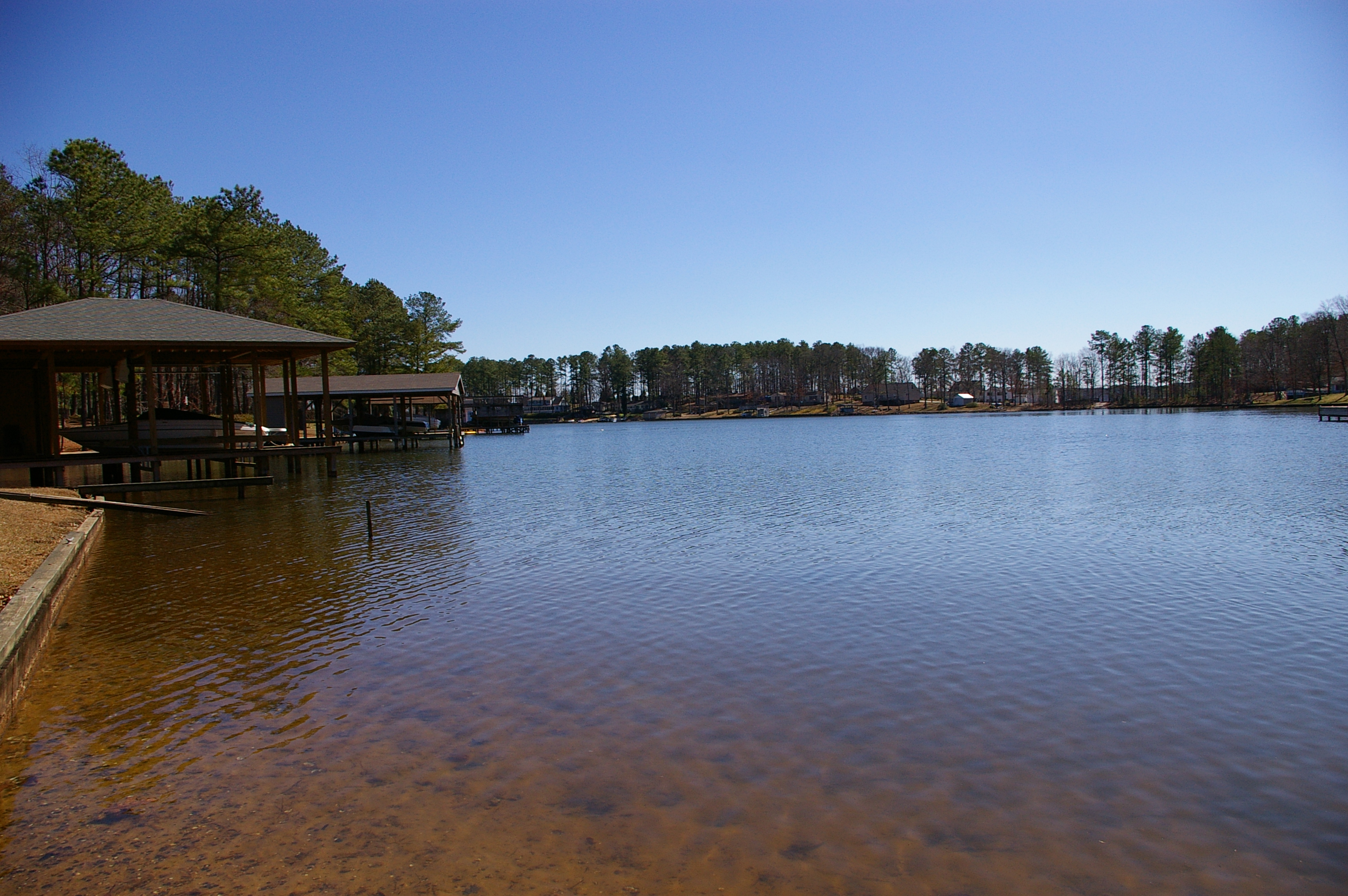
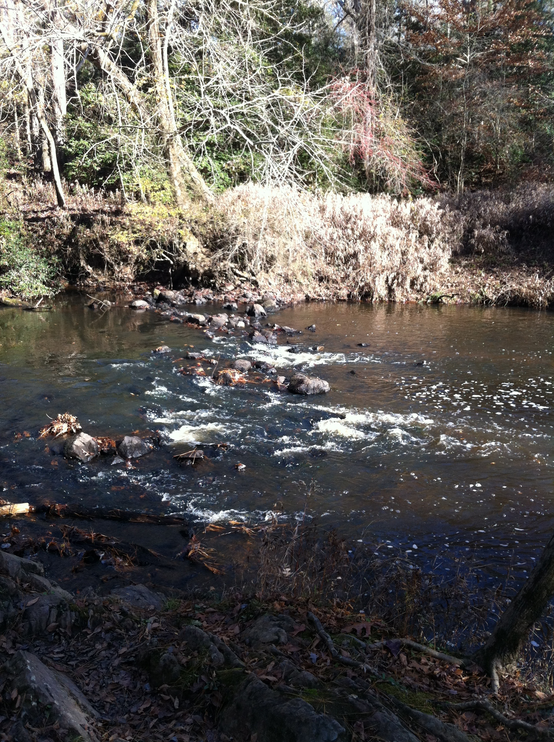
Lake Gaston 2
Medoc Mountain NC SP 4601

Easter2012 181
Medoc Mountain NC SP 4602
Medoc Mountain State Park

sunset from the deck
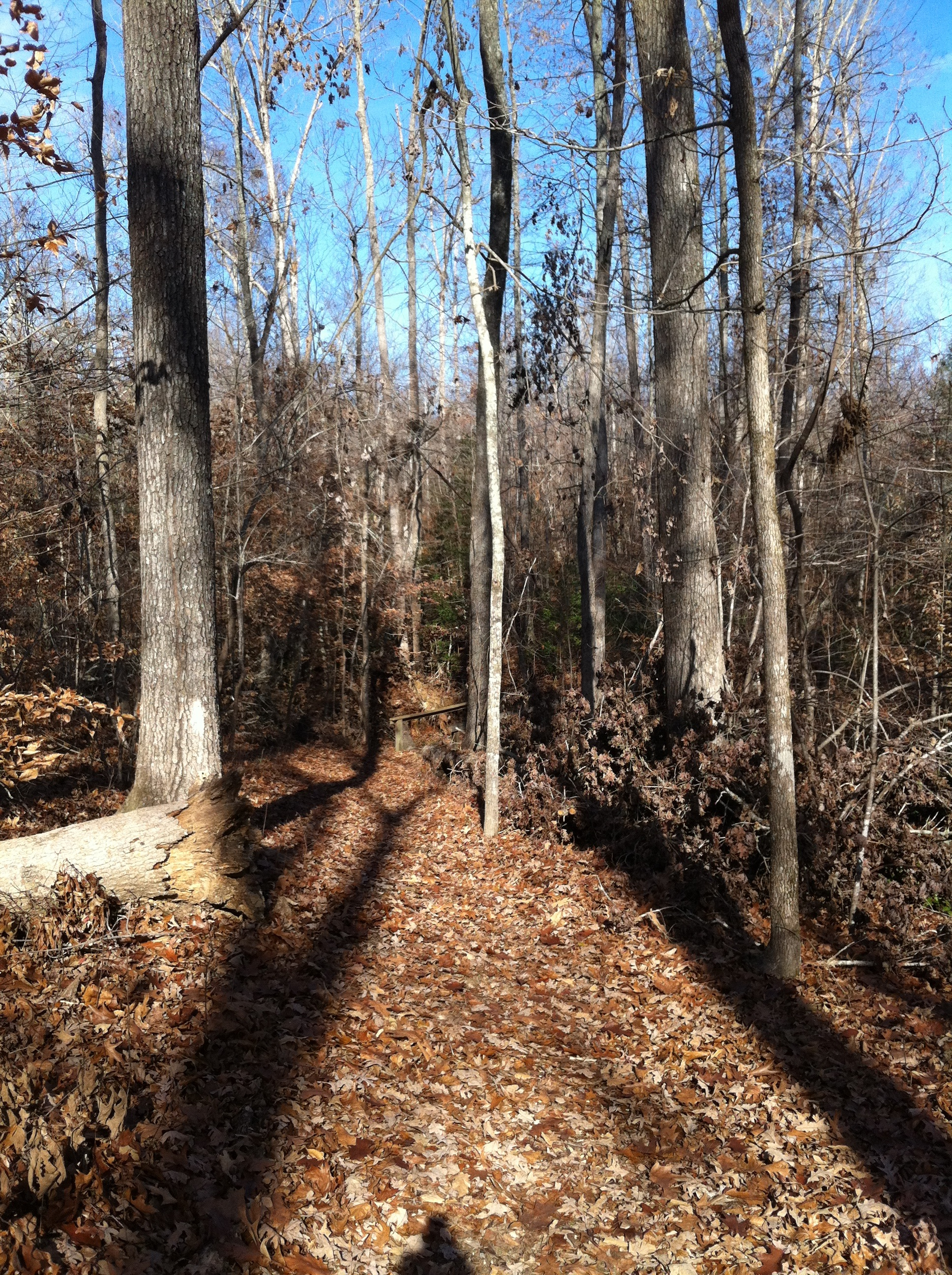
Medoc Mountain State Park
Medoc Mountain State Park

Logan and Jen in the water
Medoc Mountain State Park

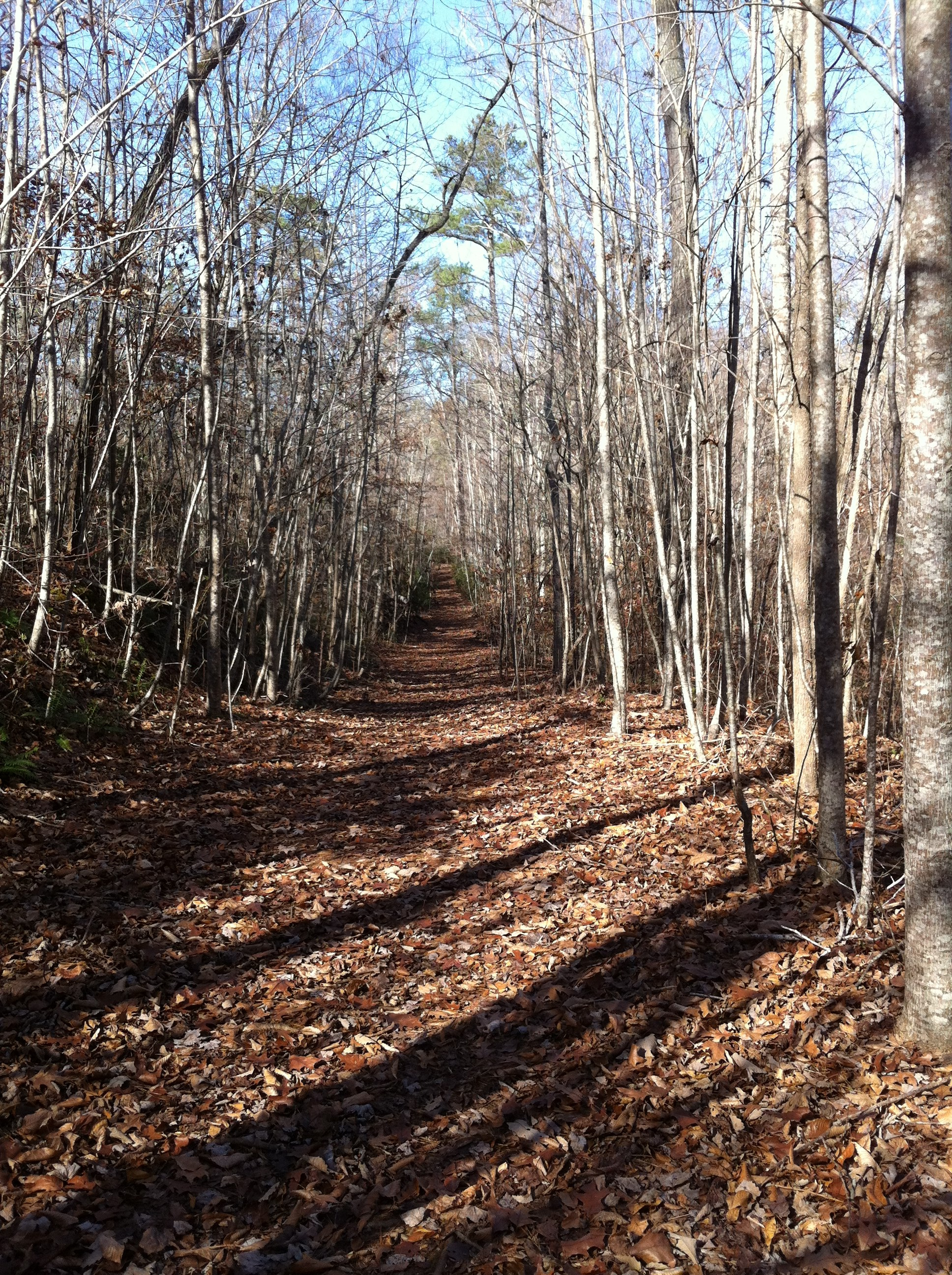
"I went to the woods because I wished to live deliberately, to front only the essential facts of life, and see if I could not learn what it had to teach and not, when I came to die, discover that I had not lived." -Thoreau #medocmountain #hiking #outdoor
Topographic Map of Bowers Rd, Littleton, NC, USA
Find elevation by address:

Places near Bowers Rd, Littleton, NC, USA:
Littleton, NC, USA
Butterwood
Littleton
Long Bridge Rd, Littleton, NC, USA
Littleton
Judkins
Piney Grove Church Rd, Littleton, NC, USA
4659 Thelma Rd
Faucett
118 Huntington Ct
72 Point Cir
293 Forest Hill Dr
Henrico
River Rd, Henrico, NC, USA
Justice Branch Rd, Halifax, NC, USA
1 Pastoral Park Dr, Roanoke Rapids, NC, USA
Roanoke Rapids
Embro-Vaughan Rd, Macon, NC, USA
Hollister
Brinkleyville
Recent Searches:
- Elevation of Corso Fratelli Cairoli, 35, Macerata MC, Italy
- Elevation of Tallevast Rd, Sarasota, FL, USA
- Elevation of 4th St E, Sonoma, CA, USA
- Elevation of Black Hollow Rd, Pennsdale, PA, USA
- Elevation of Oakland Ave, Williamsport, PA, USA
- Elevation of Pedrógão Grande, Portugal
- Elevation of Klee Dr, Martinsburg, WV, USA
- Elevation of Via Roma, Pieranica CR, Italy
- Elevation of Tavkvetili Mountain, Georgia
- Elevation of Hartfords Bluff Cir, Mt Pleasant, SC, USA