Elevation of Forest Hill Dr, Littleton, NC, USA
Location: United States > North Carolina > Warren County >
Longitude: -77.942166
Latitude: 36.4967182
Elevation: 64m / 210feet
Barometric Pressure: 101KPa
Elevation Map:
Satellite Map:
Related Photos:
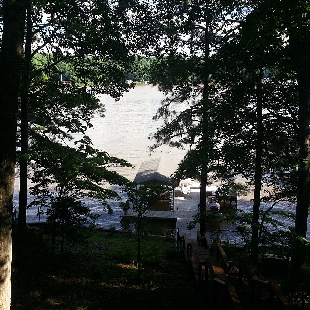
The view of the dock from the deck here at Lake Gaston

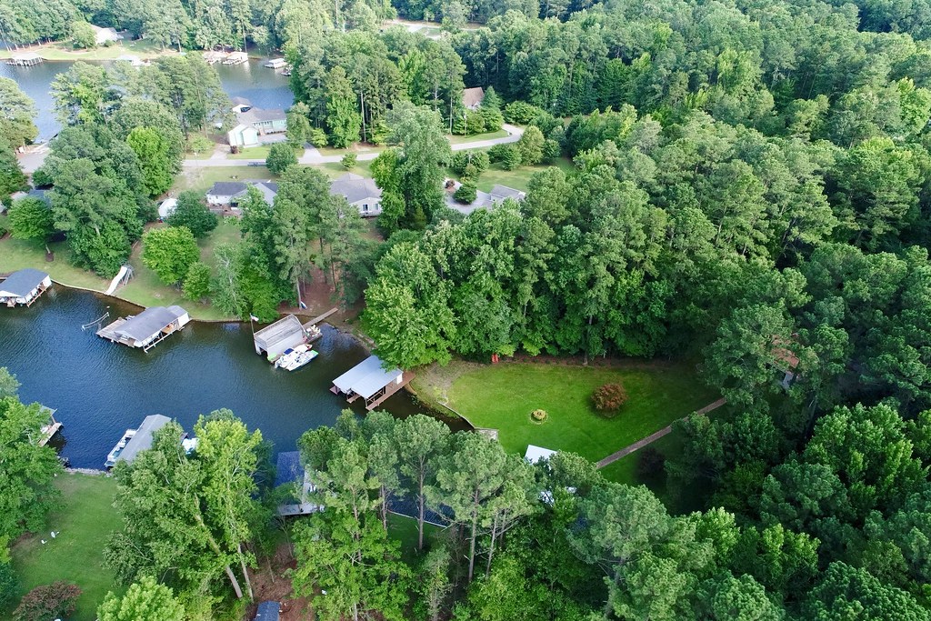
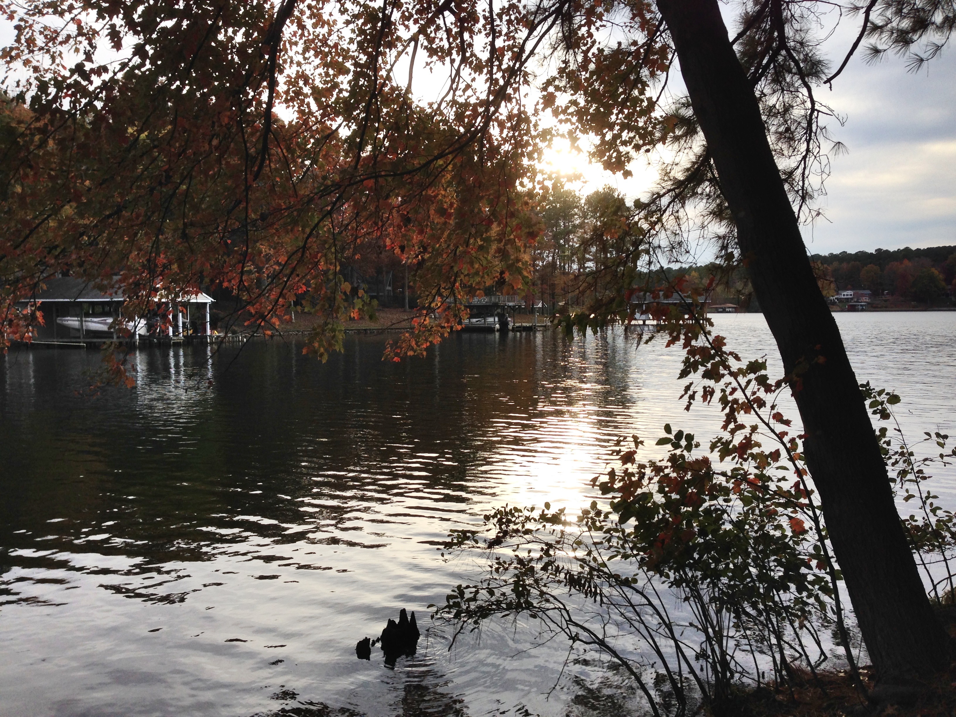
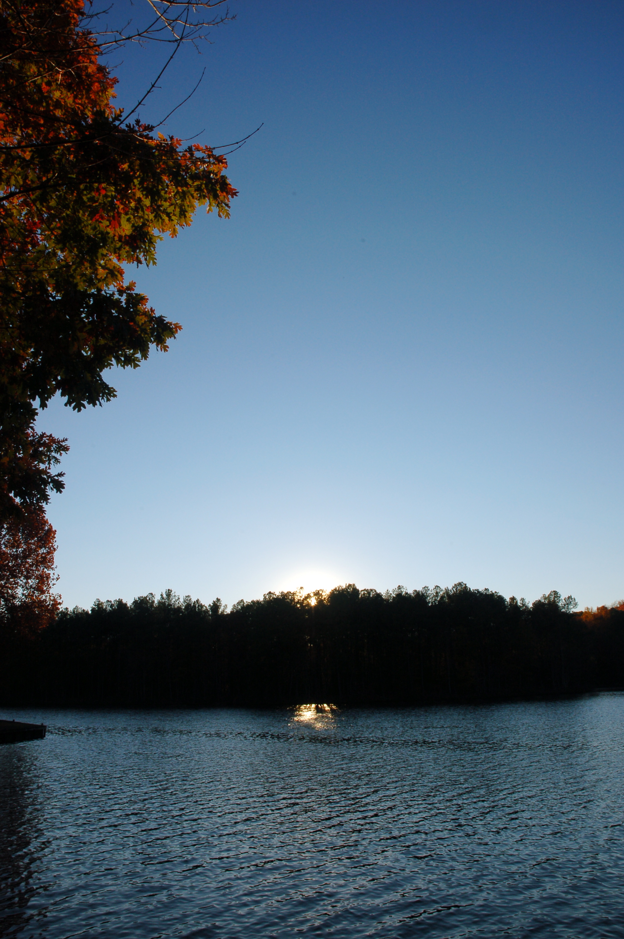
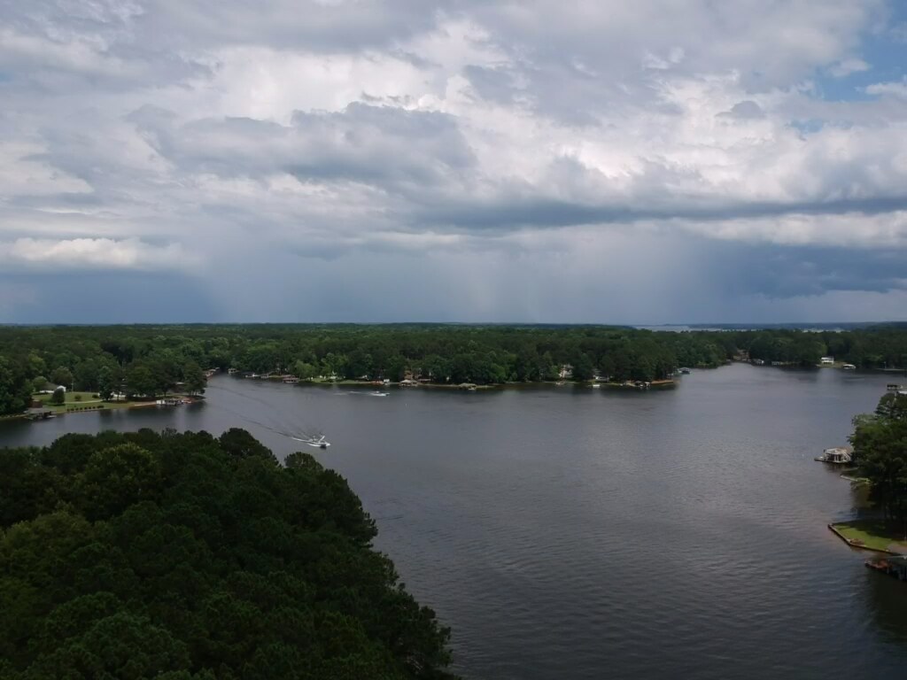
Lake Gaston
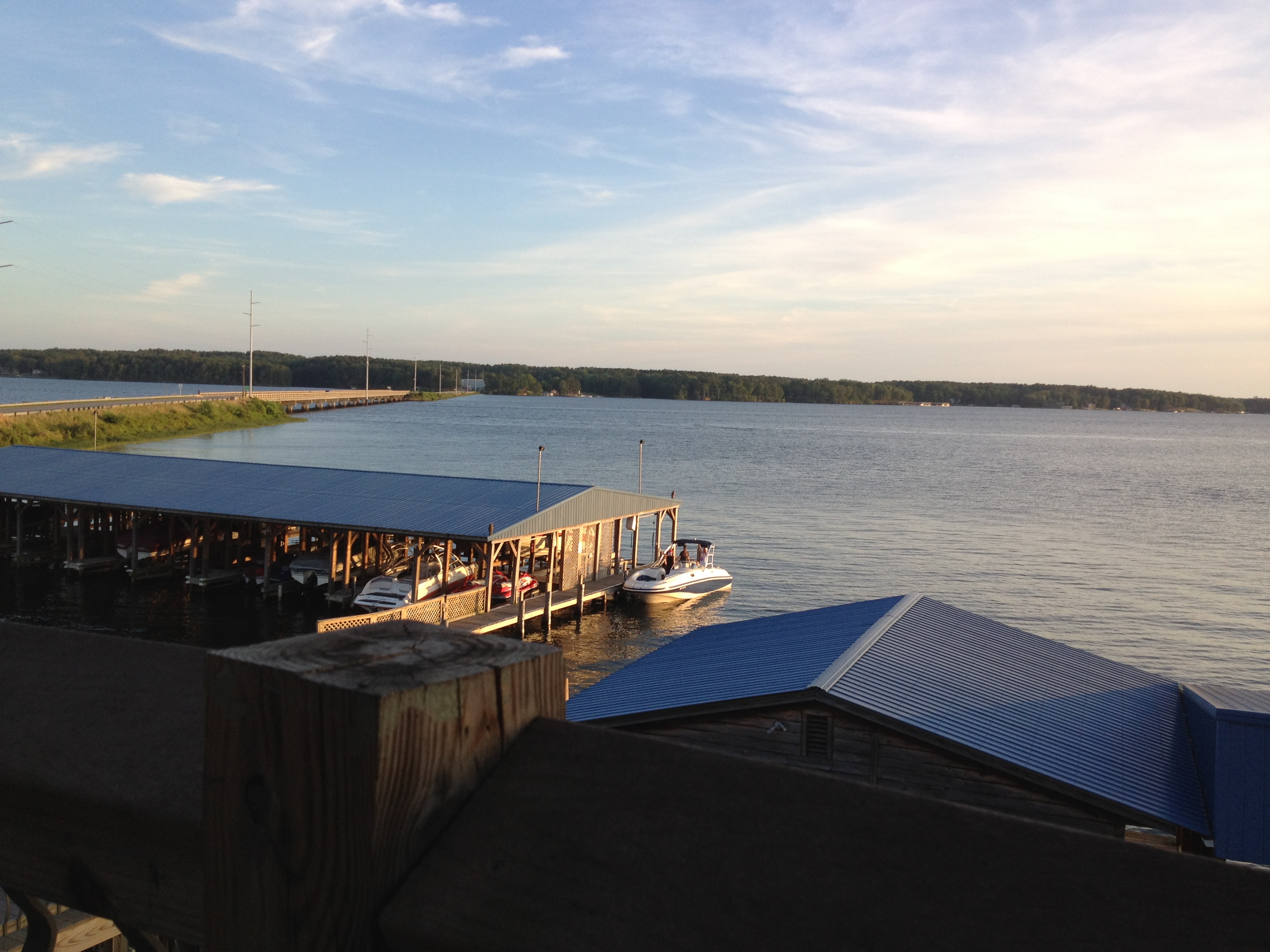
view from the resturant on the lake
Side view

The view of the cove from the last stepping stone leading down to the water

View from the deck. Kids are already down there at the dock ready to go

Gentle Dawn
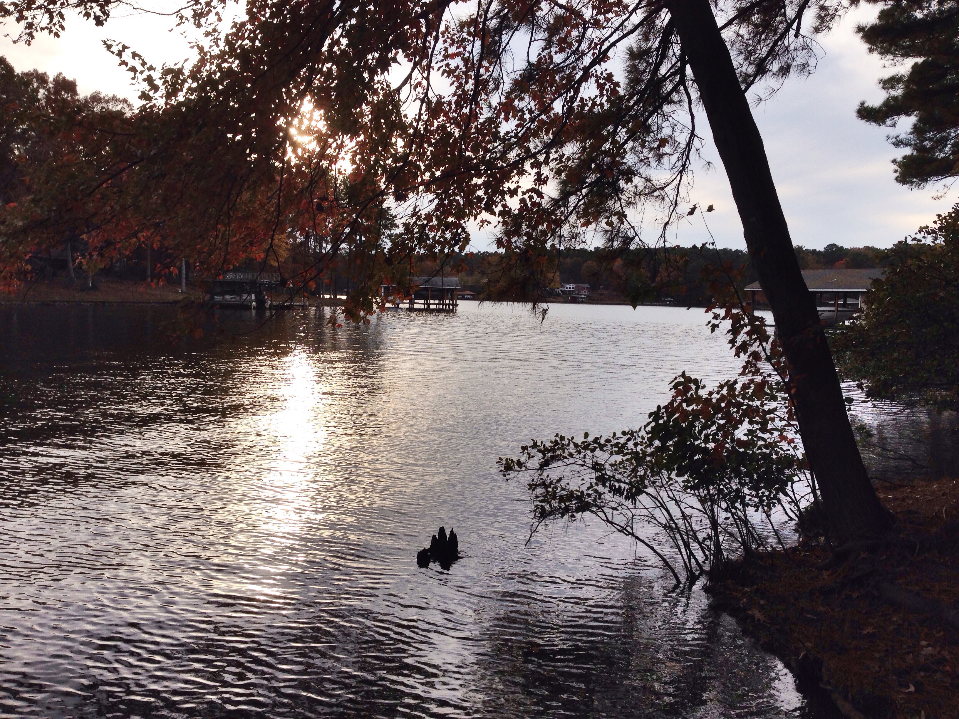
Little Cove
Lake Gaston 2
The cove

photo.JPG
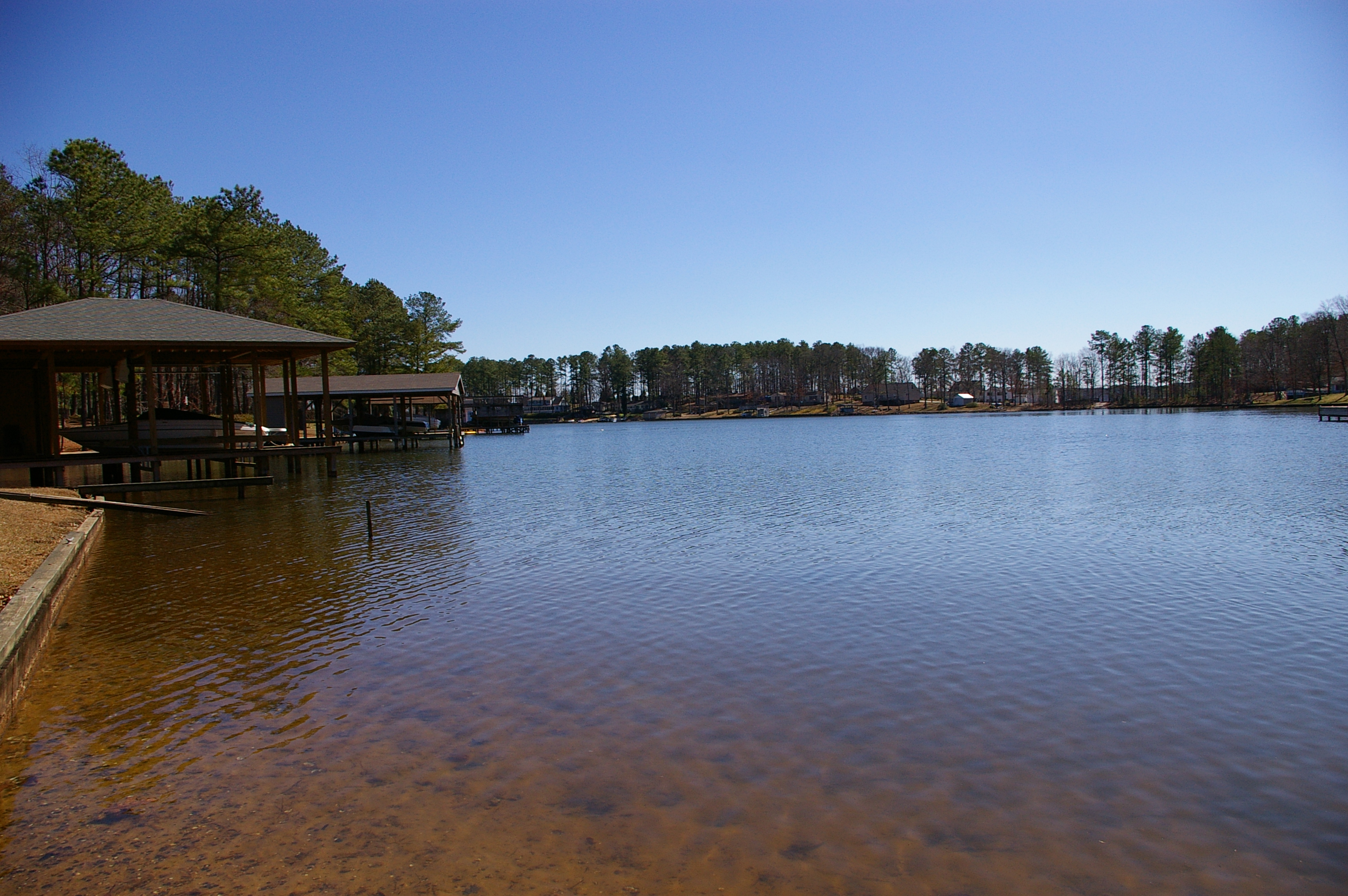
Lake Gaston

Lake Gaston July 5th
Lake Gaston July 5th
Lake Gaston, Virginia

Dark Trees

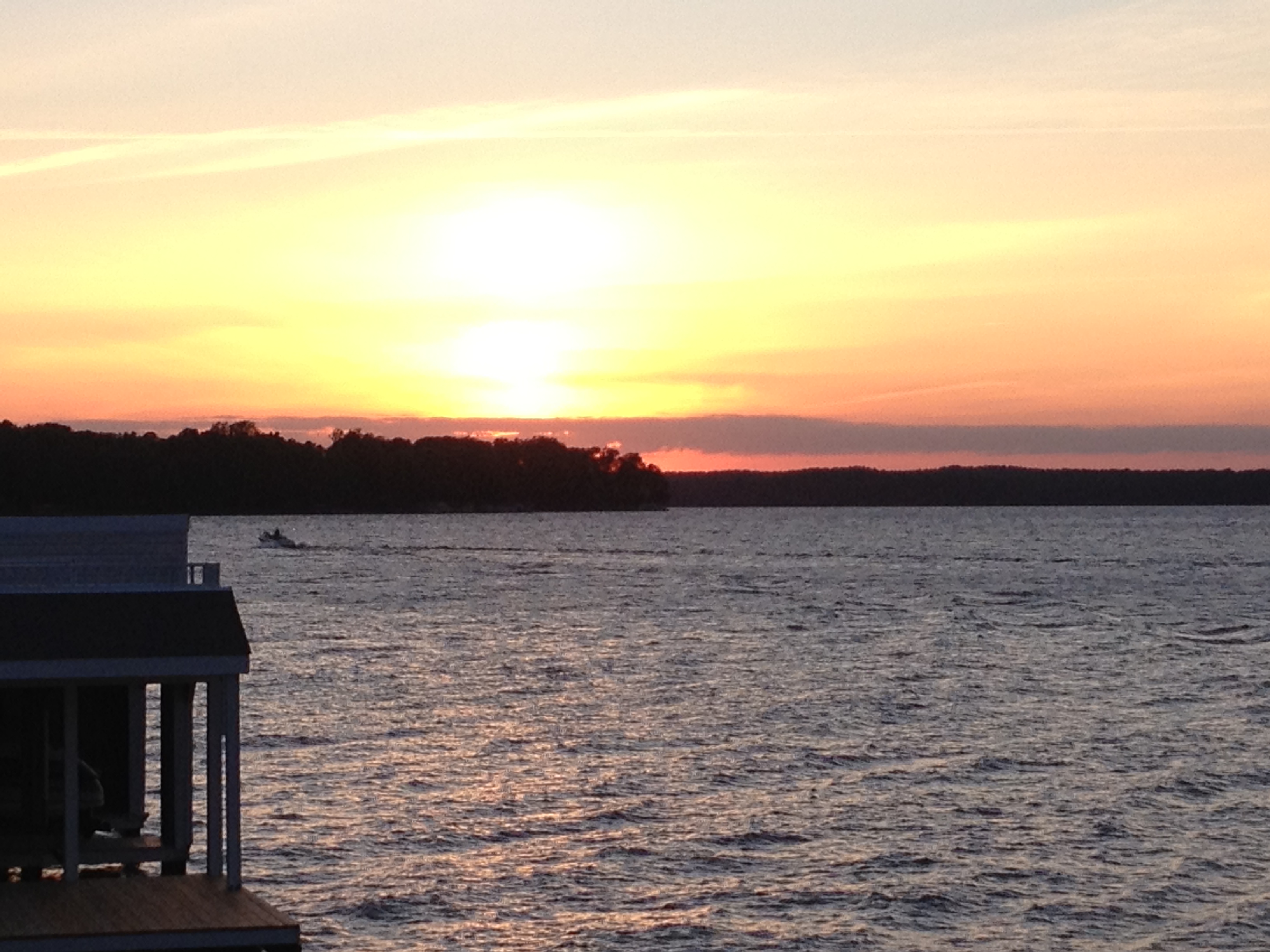
2/365-Sunset at Lake Gaston

Lake Gaston
sunset from the deck

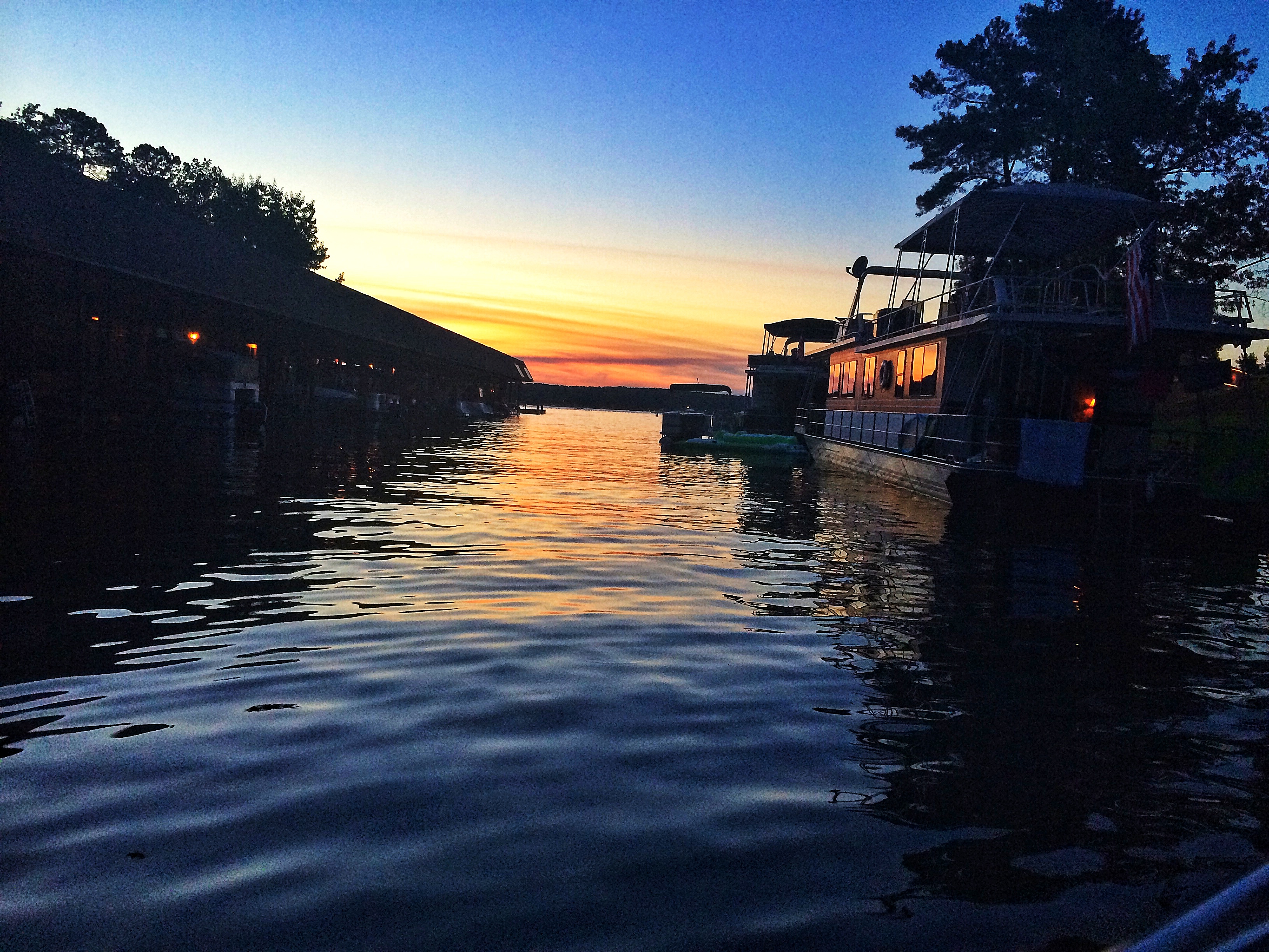
Lake Gaston dusk
The Cheverly Hot Noodle Concern
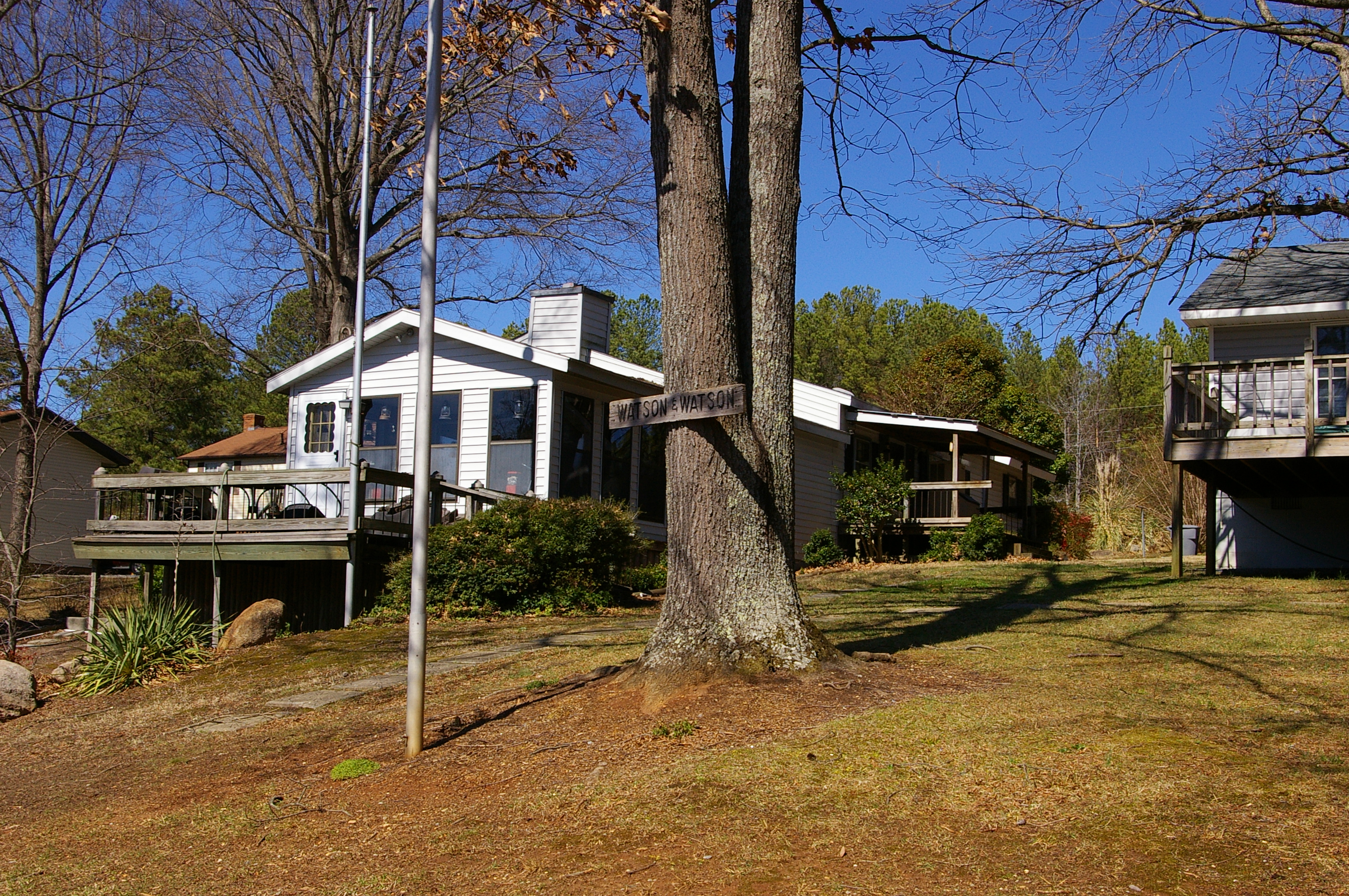
Baird Farm
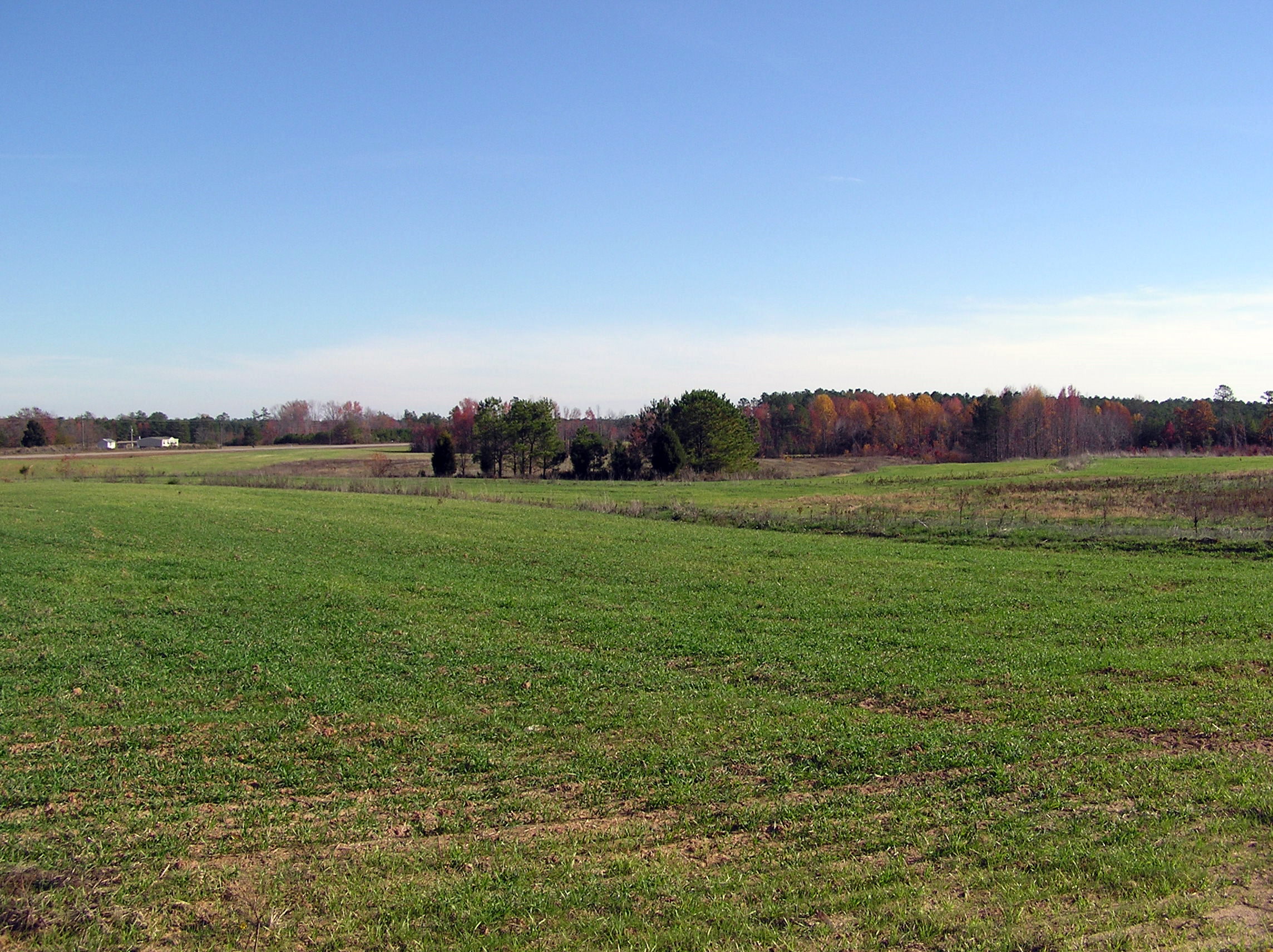
Baird Farm
Glassy Water
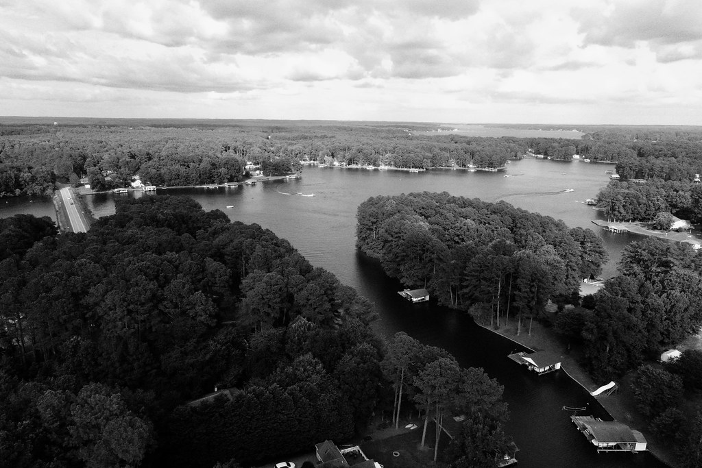
Black & White
Topographic Map of Forest Hill Dr, Littleton, NC, USA
Find elevation by address:

Places near Forest Hill Dr, Littleton, NC, USA:
118 Huntington Ct
Littleton
253 Woodland Rd
Embro-Vaughan Rd, Macon, NC, USA
Warren County
Littleton
Sixpound
River Rd, Henrico, NC, USA
Henrico
Littleton, NC, USA
Judkins
Bowers Rd, Littleton, NC, USA
217 Macon-embro Rd
217 Macon-embro Rd
Butterwood
Long Bridge Rd, Littleton, NC, USA
4659 Thelma Rd
Hawtree
72 Point Cir
Gaston
Recent Searches:
- Elevation of Corso Fratelli Cairoli, 35, Macerata MC, Italy
- Elevation of Tallevast Rd, Sarasota, FL, USA
- Elevation of 4th St E, Sonoma, CA, USA
- Elevation of Black Hollow Rd, Pennsdale, PA, USA
- Elevation of Oakland Ave, Williamsport, PA, USA
- Elevation of Pedrógão Grande, Portugal
- Elevation of Klee Dr, Martinsburg, WV, USA
- Elevation of Via Roma, Pieranica CR, Italy
- Elevation of Tavkvetili Mountain, Georgia
- Elevation of Hartfords Bluff Cir, Mt Pleasant, SC, USA