Elevation of Gaston, NC, USA
Location: United States > North Carolina > Northampton County >
Longitude: -77.722316
Latitude: 36.5112619
Elevation: 57m / 187feet
Barometric Pressure: 101KPa
Elevation Map:
Satellite Map:
Related Photos:
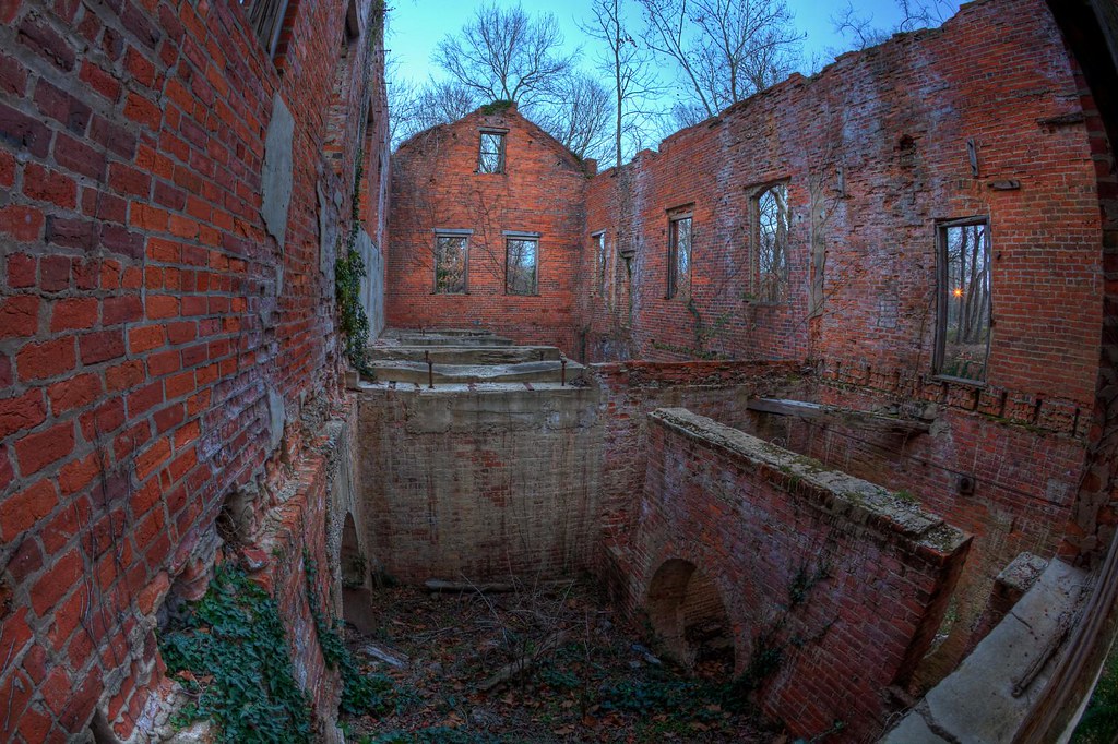
Roanoke River Mill (Inside View)

Abandoned - different view

North Carolina, Weldon, Coca Cola (Replica advertisement) (15,139b)

Ralph's BBQ
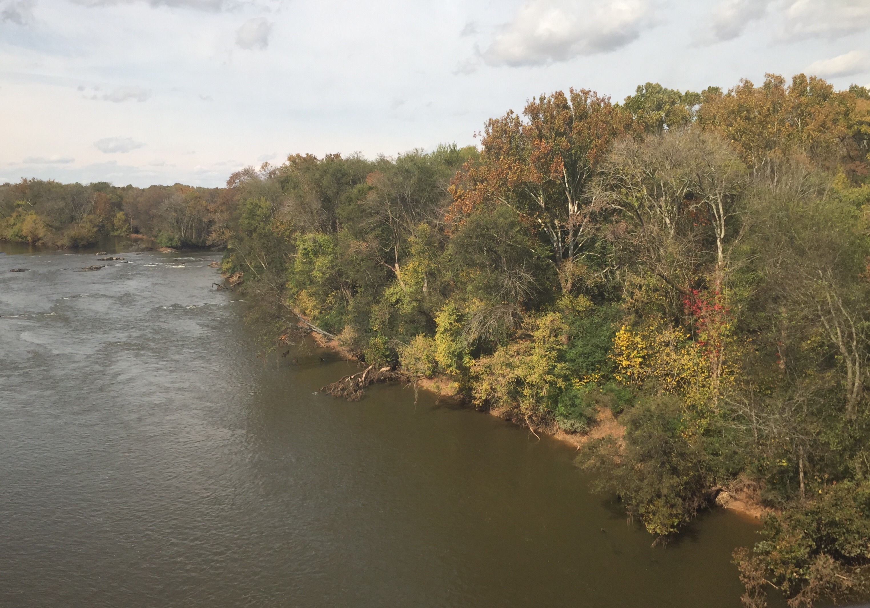
Weldon NC: Crossing the Roanoke River in the Fall

Monkeying Around
Side view

The view of the cove from the last stepping stone leading down to the water
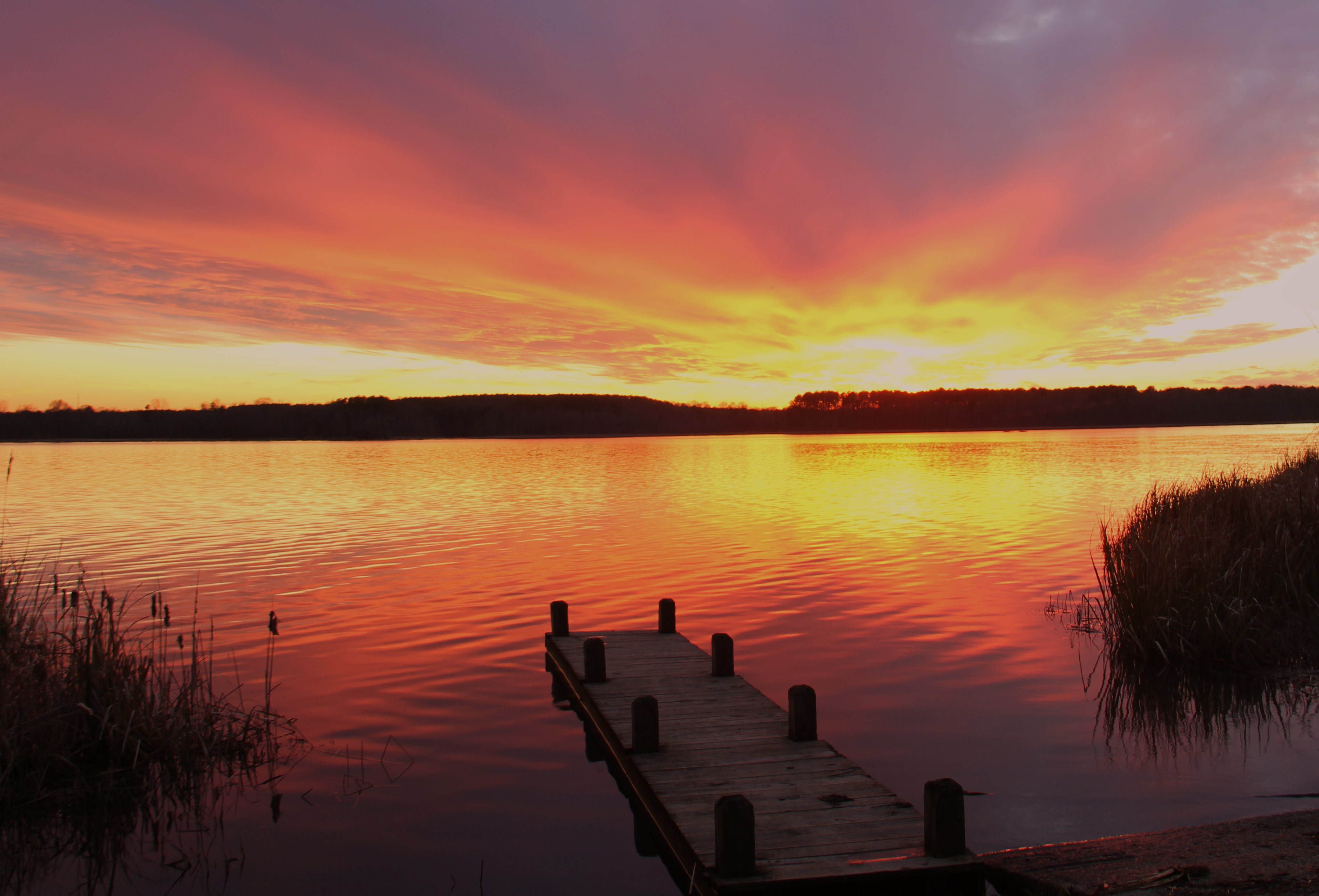
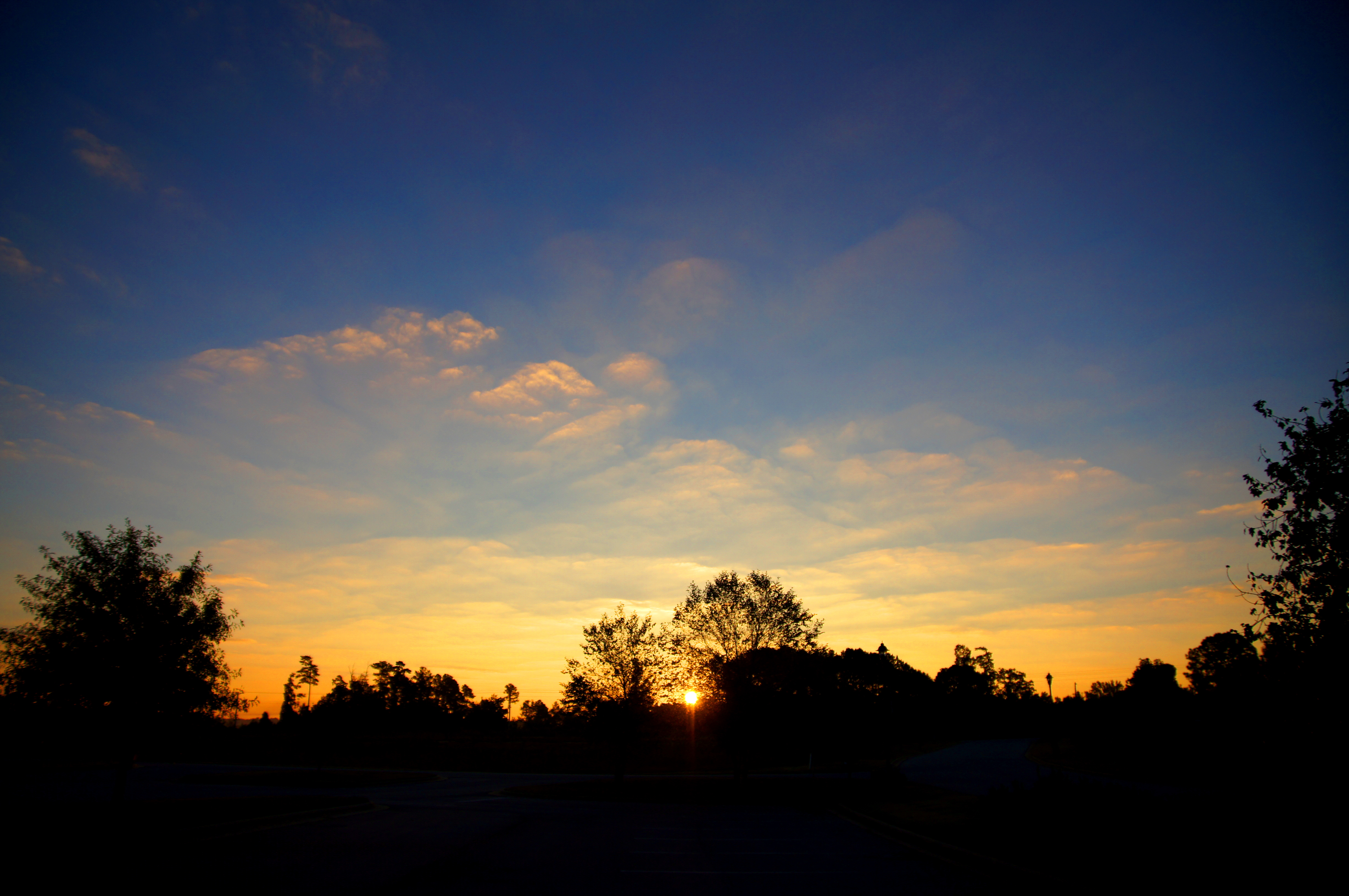
gaston sunset
Sunrise in Roanoke Rapids

River Falls (Weldon, NC)
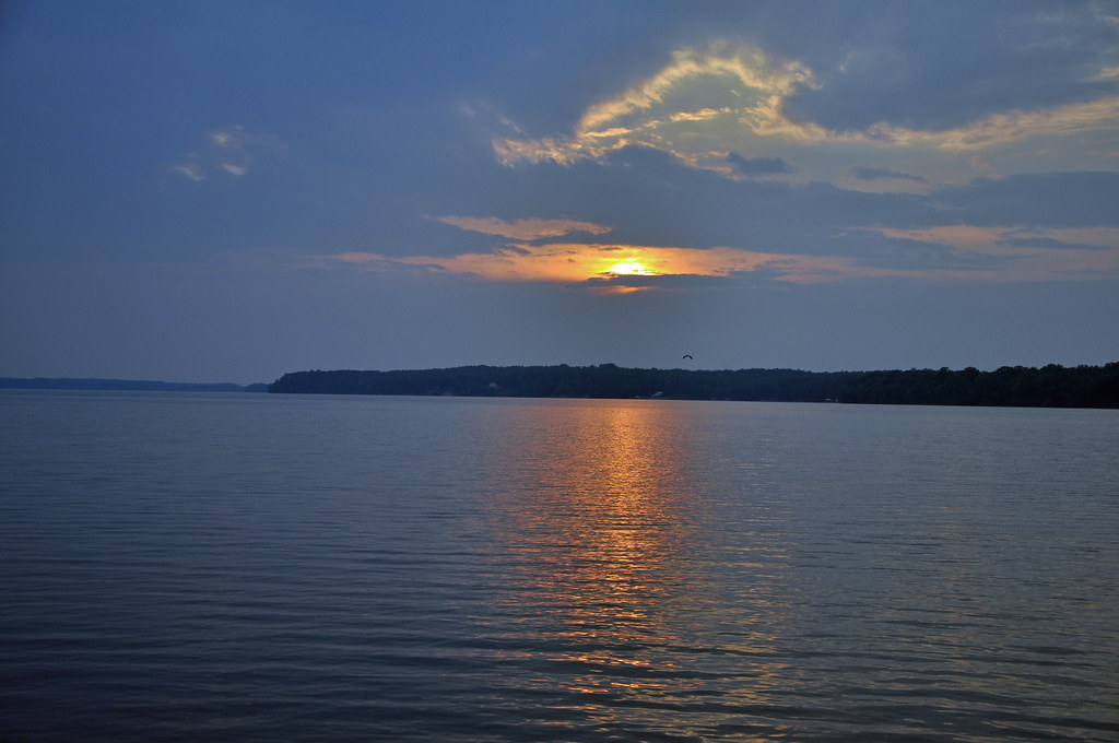
Roanoke Rapids Lake 7792
North Caroliina: Roanoke River

Roanoke River Weldon NC

Old Roanoke Rail Bridge

Portrait 9147

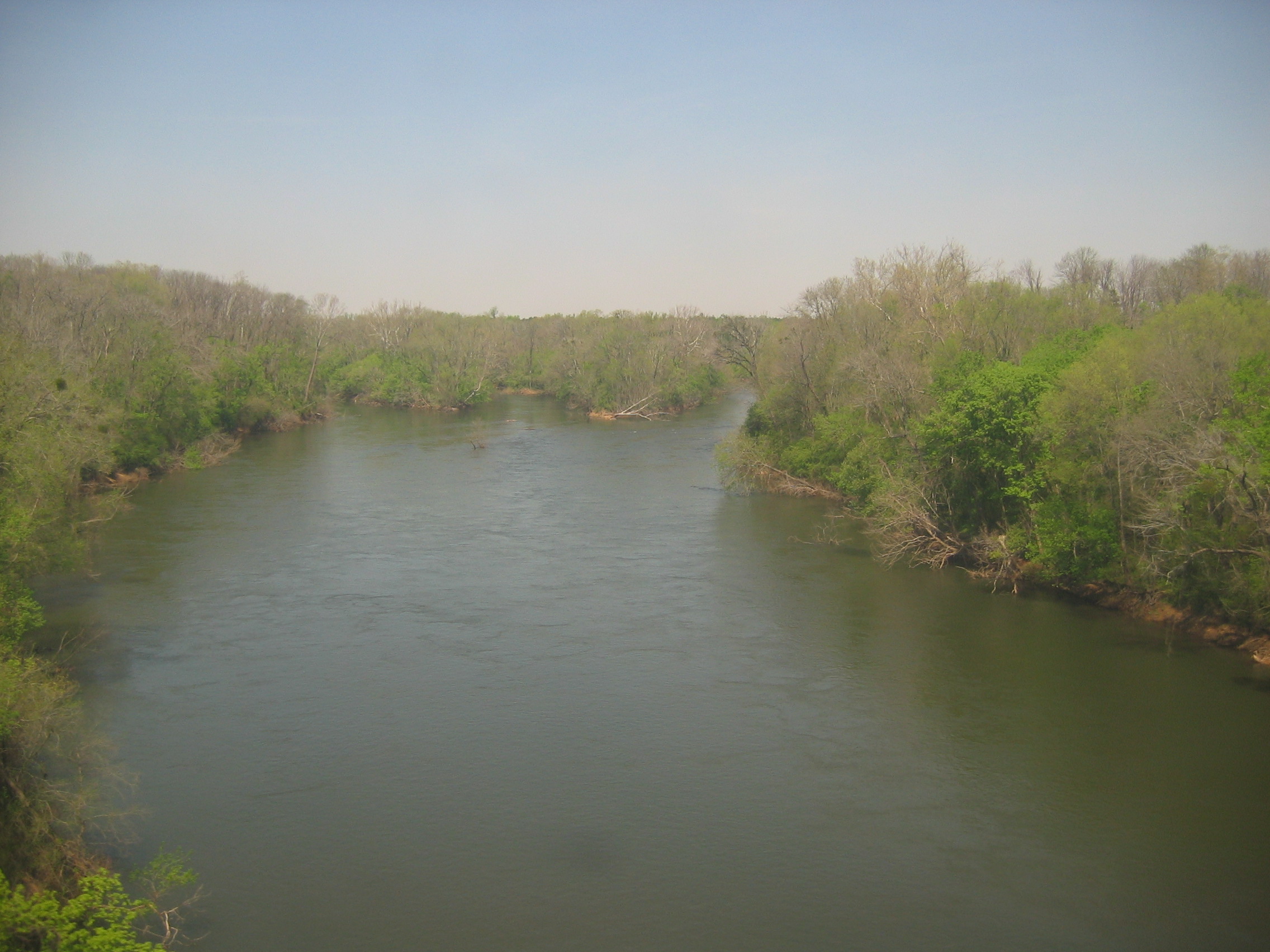
The Roanoke River
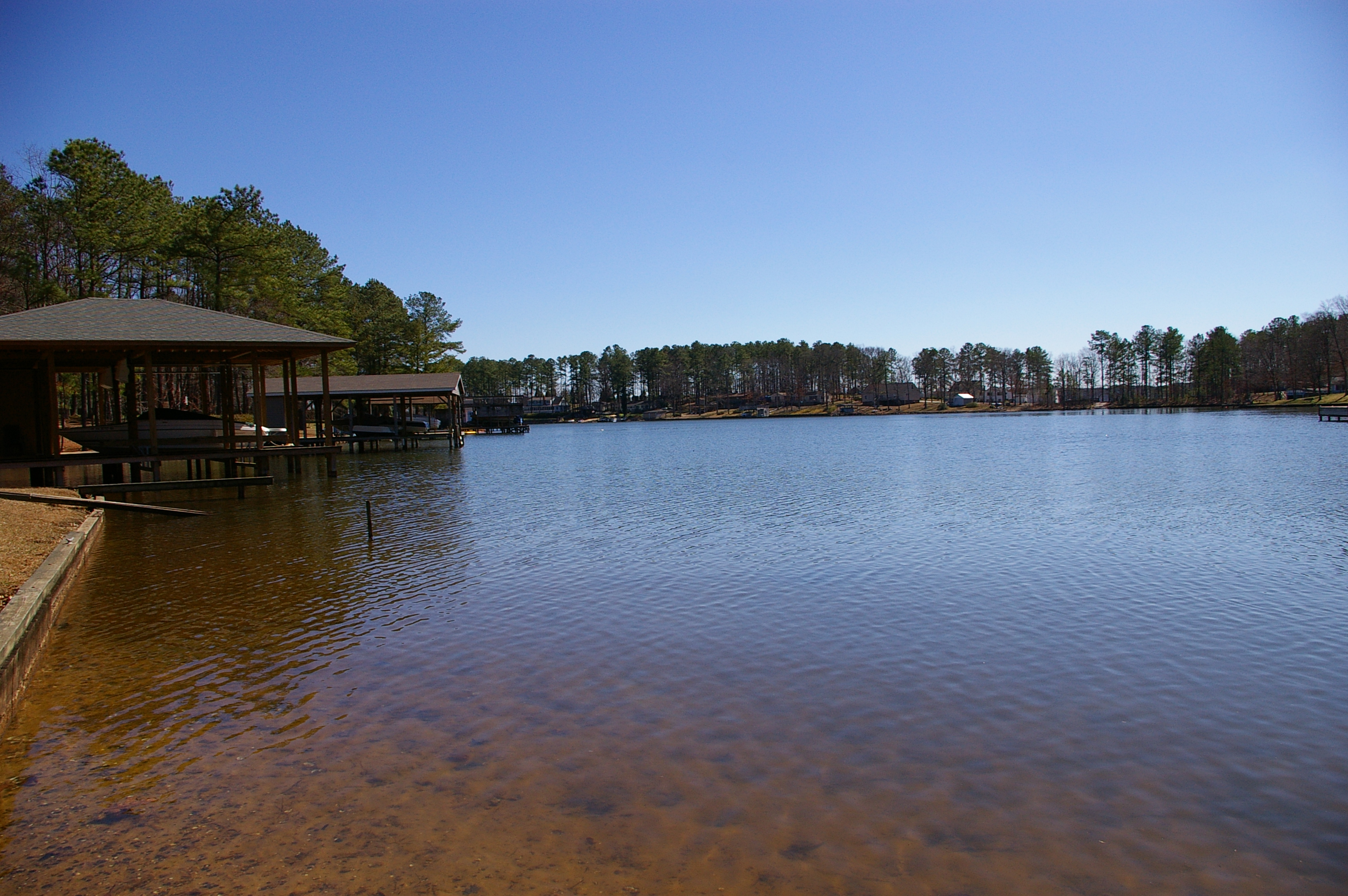
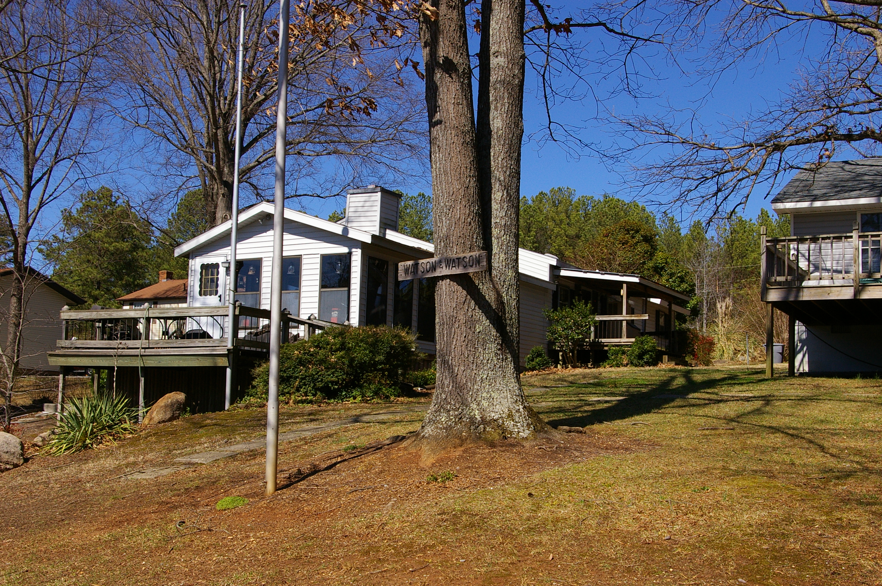
The cove
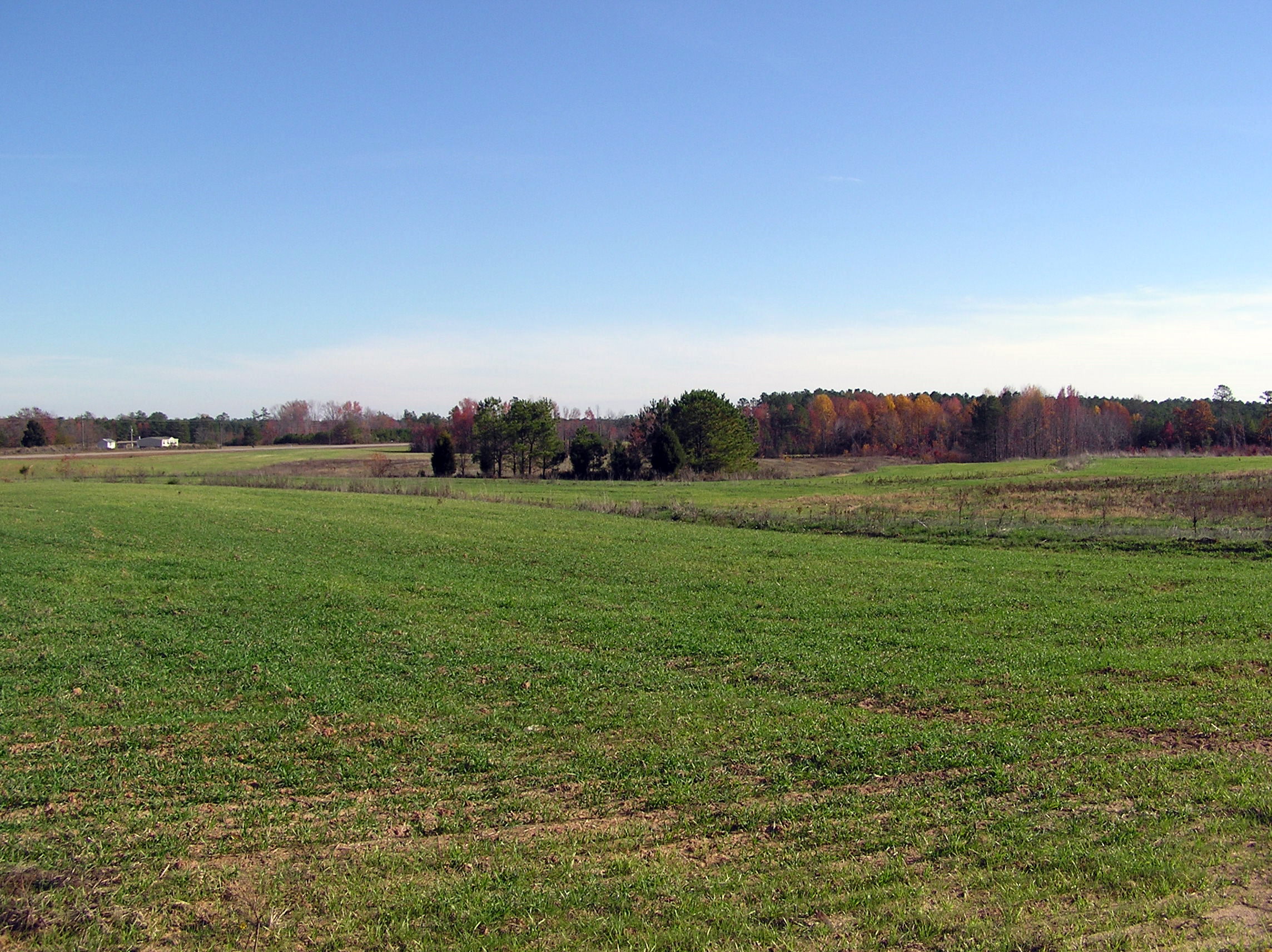
Baird Farm
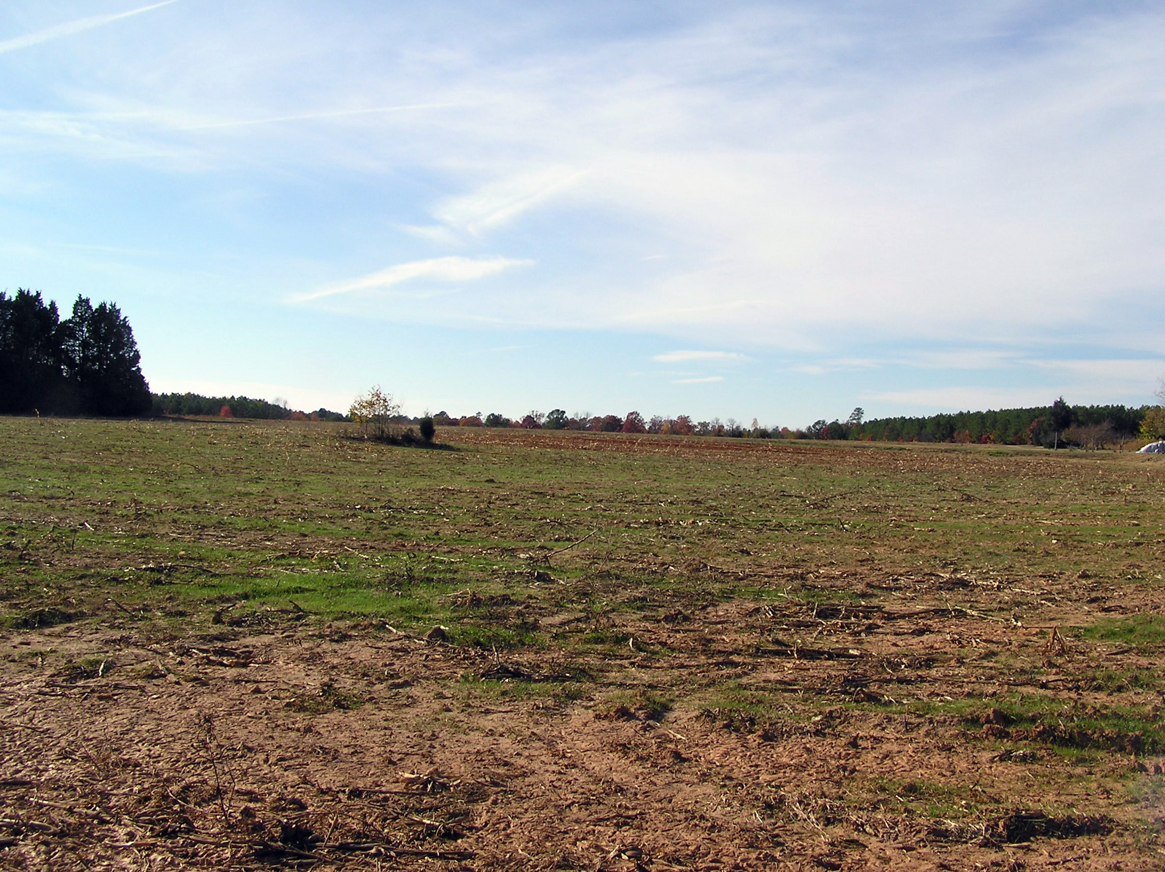
Baird Farm
Topographic Map of Gaston, NC, USA
Find elevation by address:

Places in Gaston, NC, USA:
Places near Gaston, NC, USA:
72 Point Cir
215 Lakeview Dr
Zoo Rd N, Roanoke Rapids, NC, USA
Roanoke Rapids
4659 Thelma Rd
535 Vance St
Gaston
512 Franklin St
Garysburg Rd, Gaston, NC, USA
Roanoke Rapids
640 Carolina St
1 Pastoral Park Dr, Roanoke Rapids, NC, USA
44 St James Rd
Henrico
River Rd, Henrico, NC, USA
136 Elwyn Dr
Weldon
Piney Grove Church Rd, Littleton, NC, USA
South Weldon
Littleton
Recent Searches:
- Elevation of Corso Fratelli Cairoli, 35, Macerata MC, Italy
- Elevation of Tallevast Rd, Sarasota, FL, USA
- Elevation of 4th St E, Sonoma, CA, USA
- Elevation of Black Hollow Rd, Pennsdale, PA, USA
- Elevation of Oakland Ave, Williamsport, PA, USA
- Elevation of Pedrógão Grande, Portugal
- Elevation of Klee Dr, Martinsburg, WV, USA
- Elevation of Via Roma, Pieranica CR, Italy
- Elevation of Tavkvetili Mountain, Georgia
- Elevation of Hartfords Bluff Cir, Mt Pleasant, SC, USA