Elevation of Thattekad, Kerala, India
Location: India > Kerala > Ernakulam >
Longitude: 76.7004605
Latitude: 10.1039803
Elevation: 43m / 141feet
Barometric Pressure: 0KPa
Related Photos:

Catch me!

Climbing for a better view

Tea plantation India

White-cheeked Barbet

Jungle Babbler

8992 Indian Jungle Nightjar

Rolling Hills of Munar

Malabar Grey Hornbill (Ocyceros griseus)

White-cheeked Barbet

Dispelling Darkness

Periyar river crossing near Neriamangalam

Sunrise at Hornbill Camp

Periyar river, as seen from Neriyamangalam Bridge, at Ernakulam

9037 Nilgiri Tahr

Cheeyappara waterfall, at Idukki

4087 Birds Lagoon

4101 Birds Lagoon
Thattekkad Bird Sanctuary

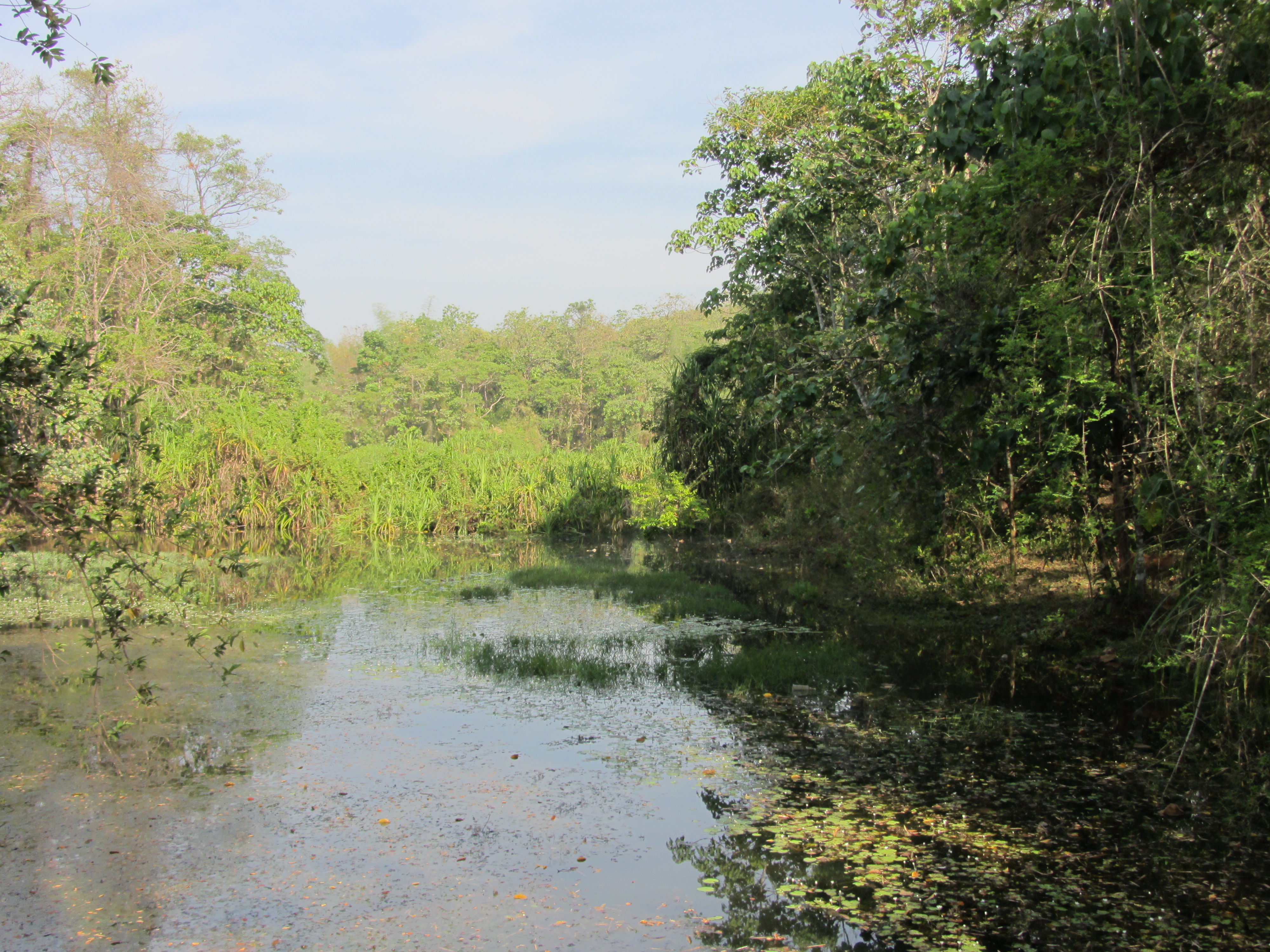
Wetlands, Thattekkad Bird Sanctuary
Topographic Map of Thattekad, Kerala, India
Find elevation by address:

Places near Thattekad, Kerala, India:
Nadukani
Kothamangalam
Neriamangalam Bridge
Neriamangalam Bridge
Neriamangalam
Cheeyappara Waterfalls
Ayyampuzha
Valara Waterfalls
Mullaringadu
Ernakulam
Vengoor
Nakapuzha
Muvattupuzha
Maniyanthra Hilltop
India
Keezhillam
Kattadikadavu View Point
Rayamangalam
Kerala, India
Kuruppampady
Recent Searches:
- Elevation map of Greenland, Greenland
- Elevation of Sullivan Hill, New York, New York, 10002, USA
- Elevation of Morehead Road, Withrow Downs, Charlotte, Mecklenburg County, North Carolina, 28262, USA
- Elevation of 2800, Morehead Road, Withrow Downs, Charlotte, Mecklenburg County, North Carolina, 28262, USA
- Elevation of Yangbi Yi Autonomous County, Yunnan, China
- Elevation of Pingpo, Yangbi Yi Autonomous County, Yunnan, China
- Elevation of Mount Malong, Pingpo, Yangbi Yi Autonomous County, Yunnan, China
- Elevation map of Yongping County, Yunnan, China
- Elevation of North 8th Street, Palatka, Putnam County, Florida, 32177, USA
- Elevation of 107, Big Apple Road, East Palatka, Putnam County, Florida, 32131, USA
- Elevation of Jiezi, Chongzhou City, Sichuan, China
- Elevation of Chongzhou City, Sichuan, China
- Elevation of Huaiyuan, Chongzhou City, Sichuan, China
- Elevation of Qingxia, Chengdu, Sichuan, China
- Elevation of Corso Fratelli Cairoli, 35, Macerata MC, Italy
- Elevation of Tallevast Rd, Sarasota, FL, USA
- Elevation of 4th St E, Sonoma, CA, USA
- Elevation of Black Hollow Rd, Pennsdale, PA, USA
- Elevation of Oakland Ave, Williamsport, PA, USA
- Elevation of Pedrógão Grande, Portugal