Elevation of Kothamangalam, Kerala, India
Location: India > Kerala > Ernakulam >
Longitude: 76.6350827
Latitude: 10.0601903
Elevation: 20m / 66feet
Barometric Pressure: 0KPa
Related Photos:

Catch me!

Red Whiskered Bulbul
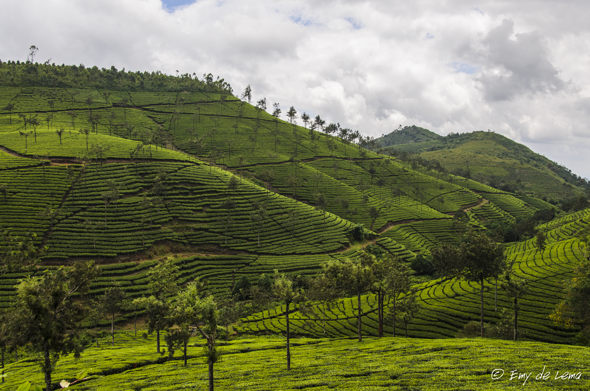
Tea plantation India
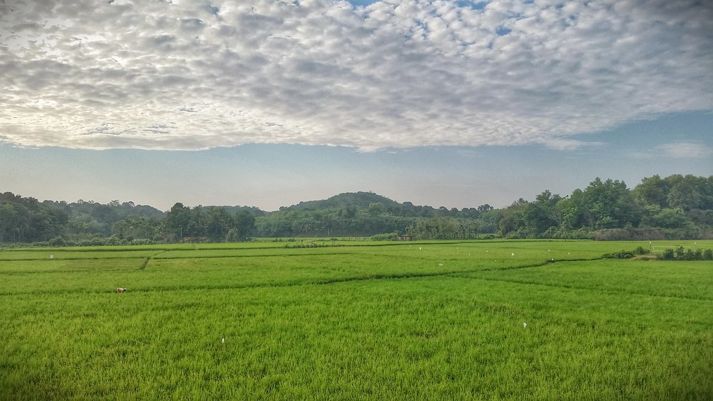
Paddy fields of kerala
Bhoothathankettu [Ernakulam.Kerala]

Dispelling Darkness

Jungle Babbler

4087 Birds Lagoon

White-cheeked Barbet

White-cheeked Barbet

newsprint plantation
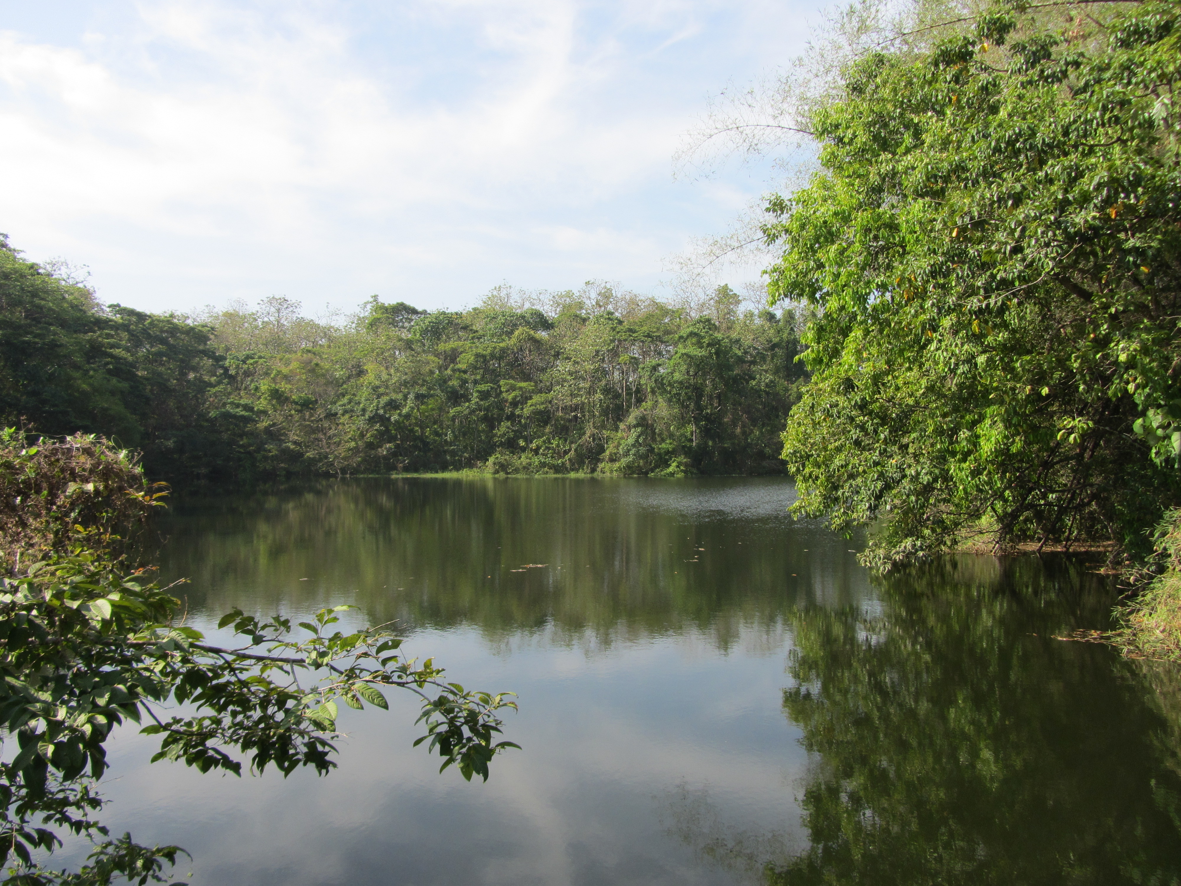
Wetlands, Thattekkad Bird Sanctuary

Sunrise at Hornbill Camp

Malabar Grey Hornbill (Ocyceros griseus)
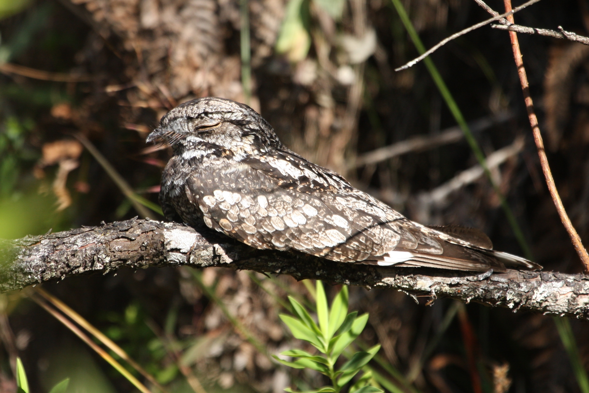
8992 Indian Jungle Nightjar

Wetlands, Thattekkad Bird Sanctuary
Bhoothathankettu [Ernakulam.Kerala]

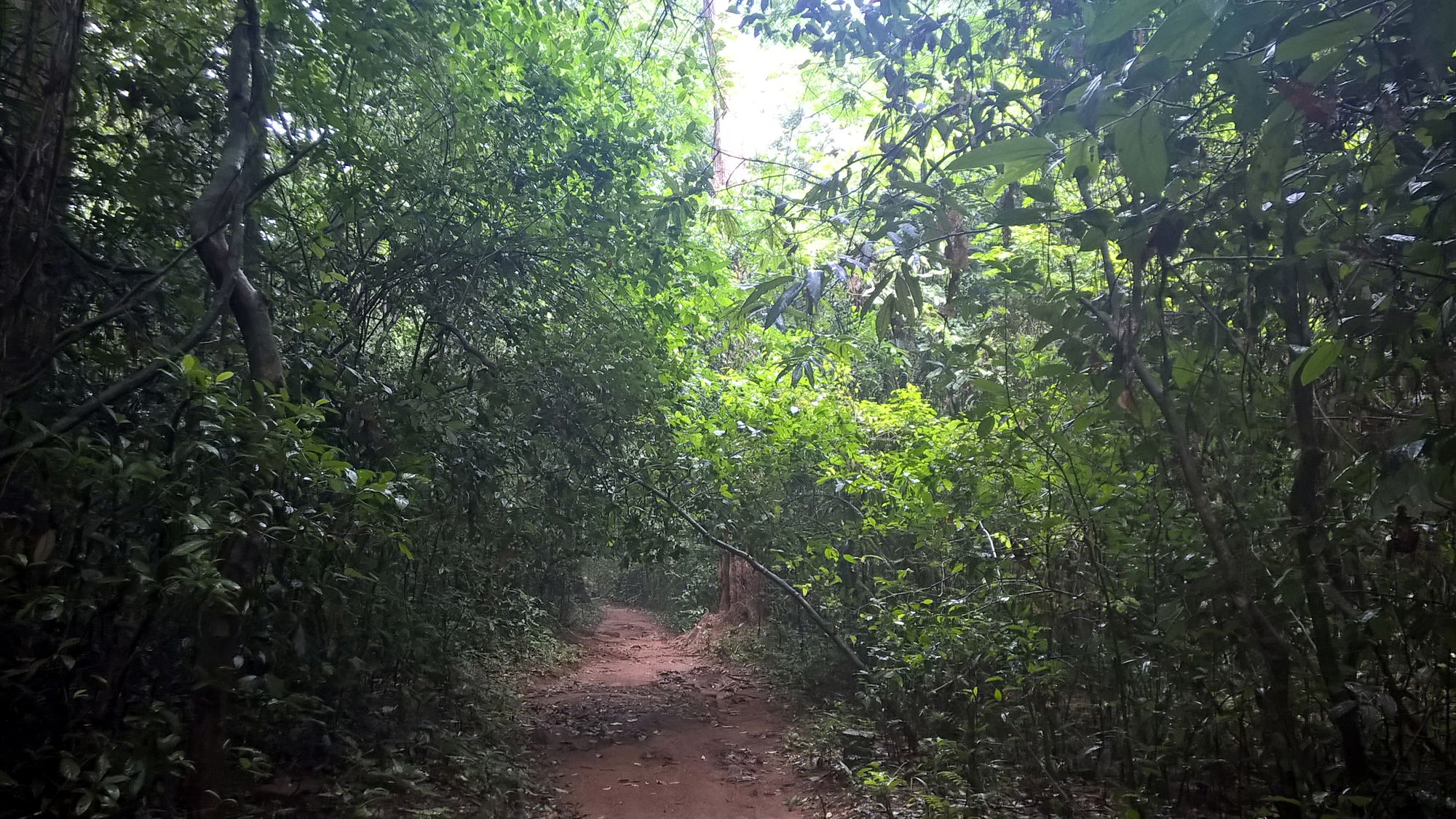
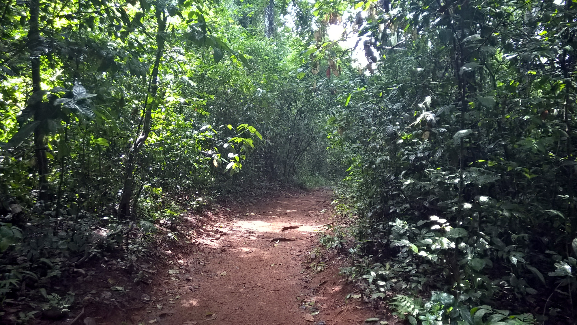
somewhere in the kodum kaadu

4101 Birds Lagoon
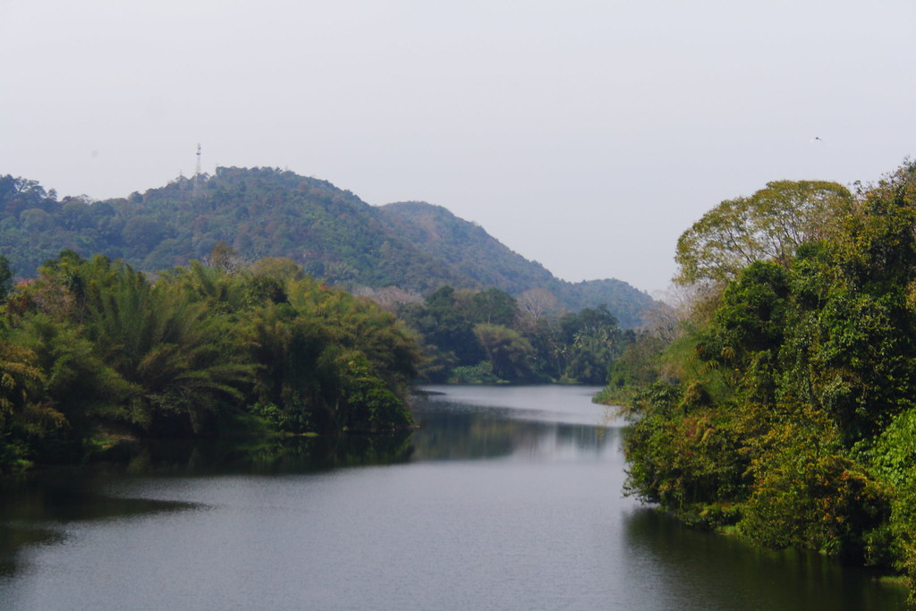
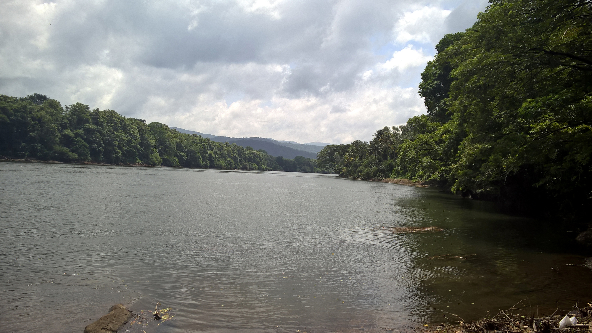
Periyar river, as seen from Neriyamangalam Bridge, at Ernakulam

Rolling Hills of Munar
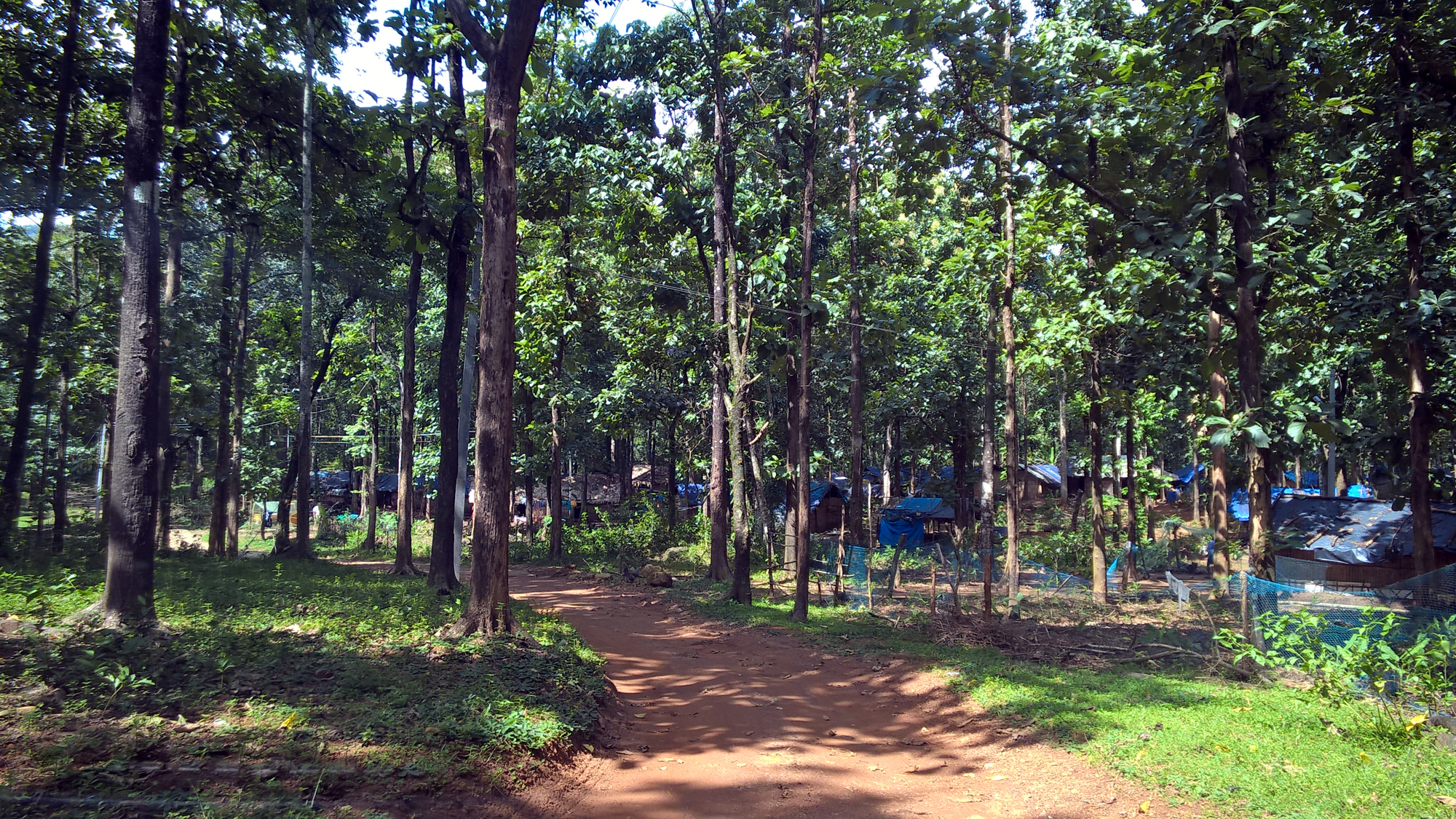
Tribal Colony At Kuttampuzha
Pooyamkutty[kuttampuzha.Kerala]
Topographic Map of Kothamangalam, Kerala, India
Find elevation by address:

Places near Kothamangalam, Kerala, India:
Ernakulam
Keezhillam
Vengoor
Rayamangalam
Airapuram
Kerala, India
Kuruppampady
Mundackal Marakkar Memorial Library
Valakkara Bhagawathy Temple
Allapra
Perumbavoor
Vengola
Union Bank Of India
Chelakulam
Pattimattom
Thaikkavu
Karukulam
Neeleeswaram
Kalady
Sree Sankaracharya Bridge
Recent Searches:
- Elevation map of Litang County, Sichuan, China
- Elevation map of Madoi County, Qinghai, China
- Elevation of 3314, Ohio State Route 114, Payne, Paulding County, Ohio, 45880, USA
- Elevation of Sarahills Drive, Saratoga, Santa Clara County, California, 95070, USA
- Elevation of Town of Bombay, Franklin County, New York, USA
- Elevation of 9, Convent Lane, Center Moriches, Suffolk County, New York, 11934, USA
- Elevation of Saint Angelas Convent, 9, Convent Lane, Center Moriches, Suffolk County, New York, 11934, USA
- Elevation of 131st Street Southwest, Mukilteo, Snohomish County, Washington, 98275, USA
- Elevation of 304, Harrison Road, Naples, Cumberland County, Maine, 04055, USA
- Elevation of 2362, Timber Ridge Road, Harrisburg, Cabarrus County, North Carolina, 28075, USA
- Elevation of Ridge Road, Marshalltown, Marshall County, Iowa, 50158, USA
- Elevation of 2459, Misty Shadows Drive, Pigeon Forge, Sevier County, Tennessee, 37862, USA
- Elevation of 8043, Brightwater Way, Spring Hill, Williamson County, Tennessee, 37179, USA
- Elevation of Starkweather Road, San Luis, Costilla County, Colorado, 81152, USA
- Elevation of 5277, Woodside Drive, Baton Rouge, East Baton Rouge Parish, Louisiana, 70808, USA
- Elevation of 1139, Curtin Street, Shepherd Park Plaza, Houston, Harris County, Texas, 77018, USA
- Elevation of 136, Sellers Lane, Repton, Monroe County, Alabama, 36475, USA
- Elevation of 12914, Elmington Drive, Lakewood Forest, Houston, Harris County, Texas, 77429, USA
- Elevation of 417, Camelot Drive, Statesville, Iredell County, North Carolina, 28625, USA
- Elevation of 5792, Wildridge Road, Avon, Eagle County, Colorado, 81620, USA