Elevation of Kuruppampady, Kerala, India
Location: India > Kerala > Ernakulam >
Longitude: 76.5112471
Latitude: 10.1112458
Elevation: 38m / 125feet
Barometric Pressure: 0KPa
Related Photos:

From hill top

Periyar @ Kalady

Sunset... a view from heaven

Monsoon + Kerala = God's own Country

The bath tub for the elephants of Kodanad

Glitched! #nature #glitch #cloud #sky #hill #iphone #iphonograpgy #color #vsco #vscocam

When land meets water, you call it horizon. When clouds land meets clouds, you simply run out of words... #mallugramers #mallugram #keralaattraction #keralam #keralatourism #kerala #mindblowing #visualtreat #awestruck #mustsee #heavenonearth #wordless #i

Marampilly (North Vazhakkulam) HDR beta

Sunset through somebody's paddy! ( HDR Experiments)

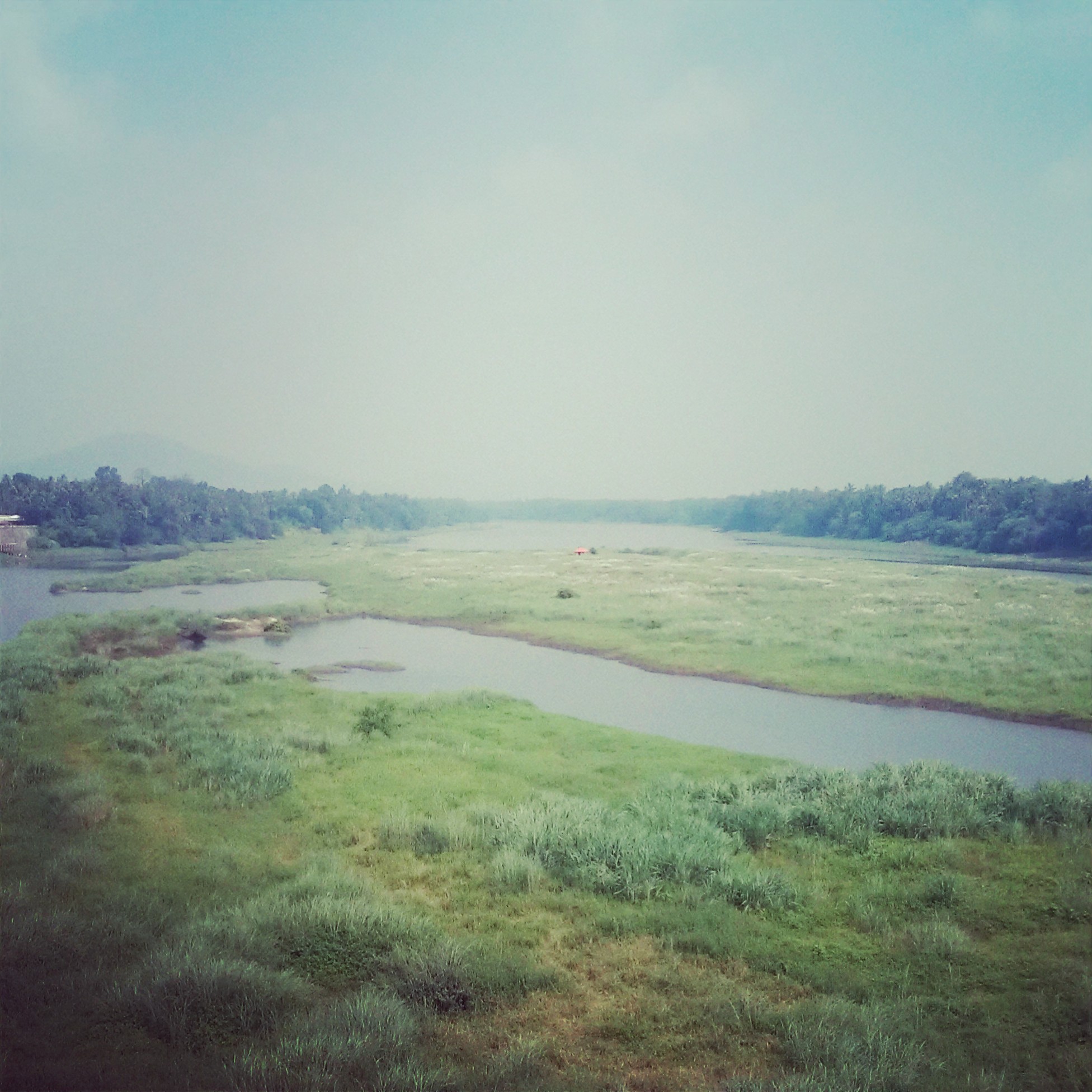
River Periyar - Kodanad, Kerala

Tirunadhapruam Temple HDR

Heaven is Right Here!

✈️ Until next time, Kerala

Kerala 2016

2012-10-21 17.50.51
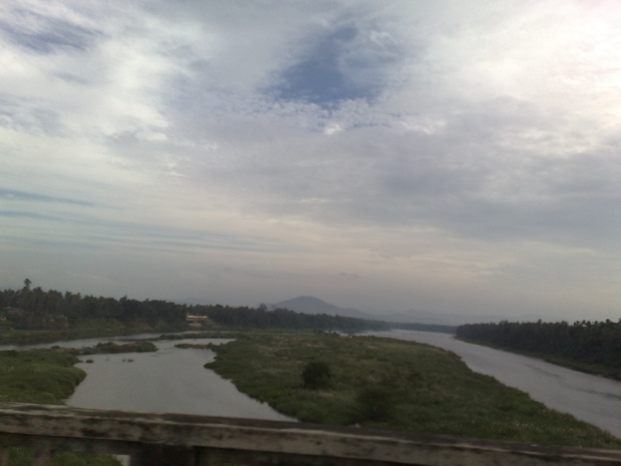
Periyar River...

Munnar to Poopara Road

Kerala's beauty

Athirappilly Water Falls
22122009834.jpg

Chulpu & ME land

Light bed

Water near Konadad
Topographic Map of Kuruppampady, Kerala, India
Find elevation by address:

Places near Kuruppampady, Kerala, India:
Kerala, India
Rayamangalam
Perumbavoor
Valakkara Bhagawathy Temple
Allapra
Vengoor
Vengola
Ernakulam
Keezhillam
Mundackal Marakkar Memorial Library
Union Bank Of India
Airapuram
Chelakulam
Sree Sankaracharya Bridge
Kalady
Neeleeswaram
Karukulam
Thaikkavu
Pattimattom
Erumathala Post Office
Recent Searches:
- Elevation map of Greenland, Greenland
- Elevation of Sullivan Hill, New York, New York, 10002, USA
- Elevation of Morehead Road, Withrow Downs, Charlotte, Mecklenburg County, North Carolina, 28262, USA
- Elevation of 2800, Morehead Road, Withrow Downs, Charlotte, Mecklenburg County, North Carolina, 28262, USA
- Elevation of Yangbi Yi Autonomous County, Yunnan, China
- Elevation of Pingpo, Yangbi Yi Autonomous County, Yunnan, China
- Elevation of Mount Malong, Pingpo, Yangbi Yi Autonomous County, Yunnan, China
- Elevation map of Yongping County, Yunnan, China
- Elevation of North 8th Street, Palatka, Putnam County, Florida, 32177, USA
- Elevation of 107, Big Apple Road, East Palatka, Putnam County, Florida, 32131, USA
- Elevation of Jiezi, Chongzhou City, Sichuan, China
- Elevation of Chongzhou City, Sichuan, China
- Elevation of Huaiyuan, Chongzhou City, Sichuan, China
- Elevation of Qingxia, Chengdu, Sichuan, China
- Elevation of Corso Fratelli Cairoli, 35, Macerata MC, Italy
- Elevation of Tallevast Rd, Sarasota, FL, USA
- Elevation of 4th St E, Sonoma, CA, USA
- Elevation of Black Hollow Rd, Pennsdale, PA, USA
- Elevation of Oakland Ave, Williamsport, PA, USA
- Elevation of Pedrógão Grande, Portugal