Elevation of Rayamangalam, Kerala, India
Location: India > Kerala > Ernakulam >
Longitude: 76.5203191
Latitude: 10.0973107
Elevation: 27m / 89feet
Barometric Pressure: 0KPa
Related Photos:

The bath tub for the elephants of Kodanad

From hill top

Sunset... a view from heaven

Periyar @ Kalady

Red Whiskered Bulbul

Monsoon + Kerala = God's own Country

Progressive Education Outer View

Progressive Education Outer View-1

Marampilly (North Vazhakkulam) HDR beta

Glitched! #nature #glitch #cloud #sky #hill #iphone #iphonograpgy #color #vsco #vscocam

Paddy fields of kerala

Sunset through somebody's paddy! ( HDR Experiments)

Kerala 2016

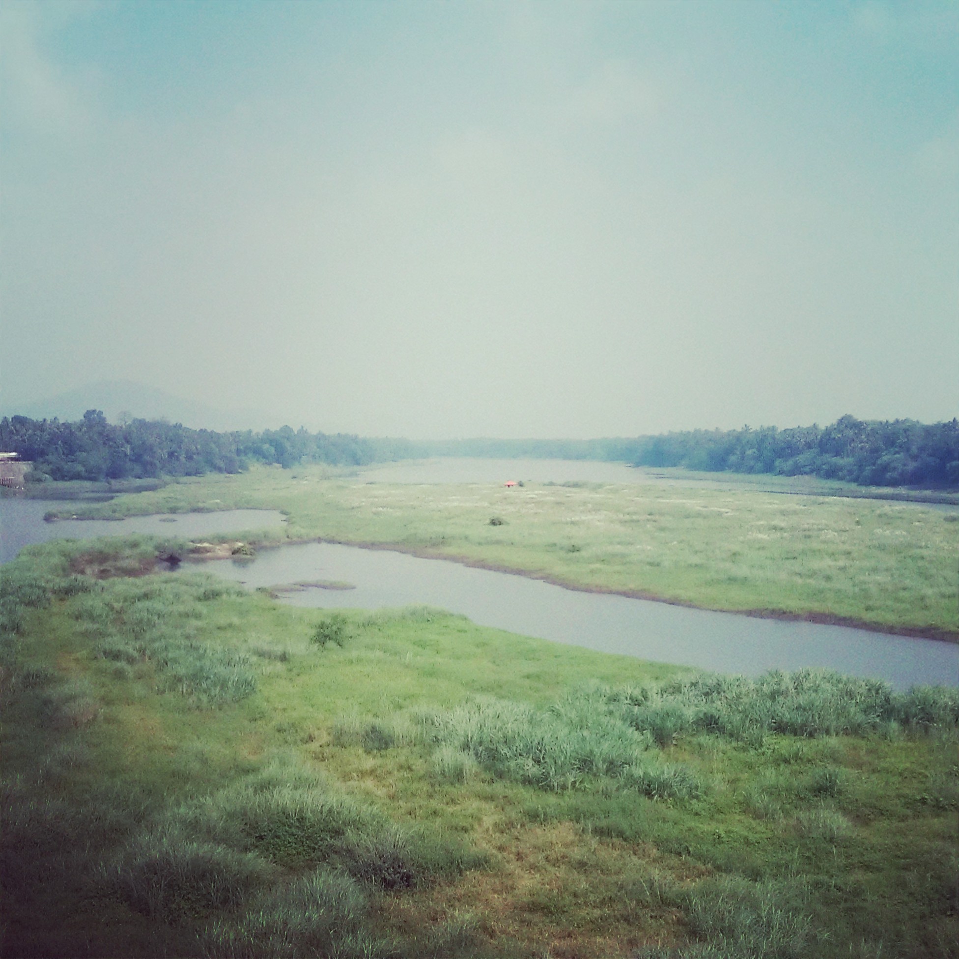
River Periyar - Kodanad, Kerala

Tirunadhapruam Temple HDR

Heaven is Right Here!

✈️ Until next time, Kerala

2012-10-21 17.50.51
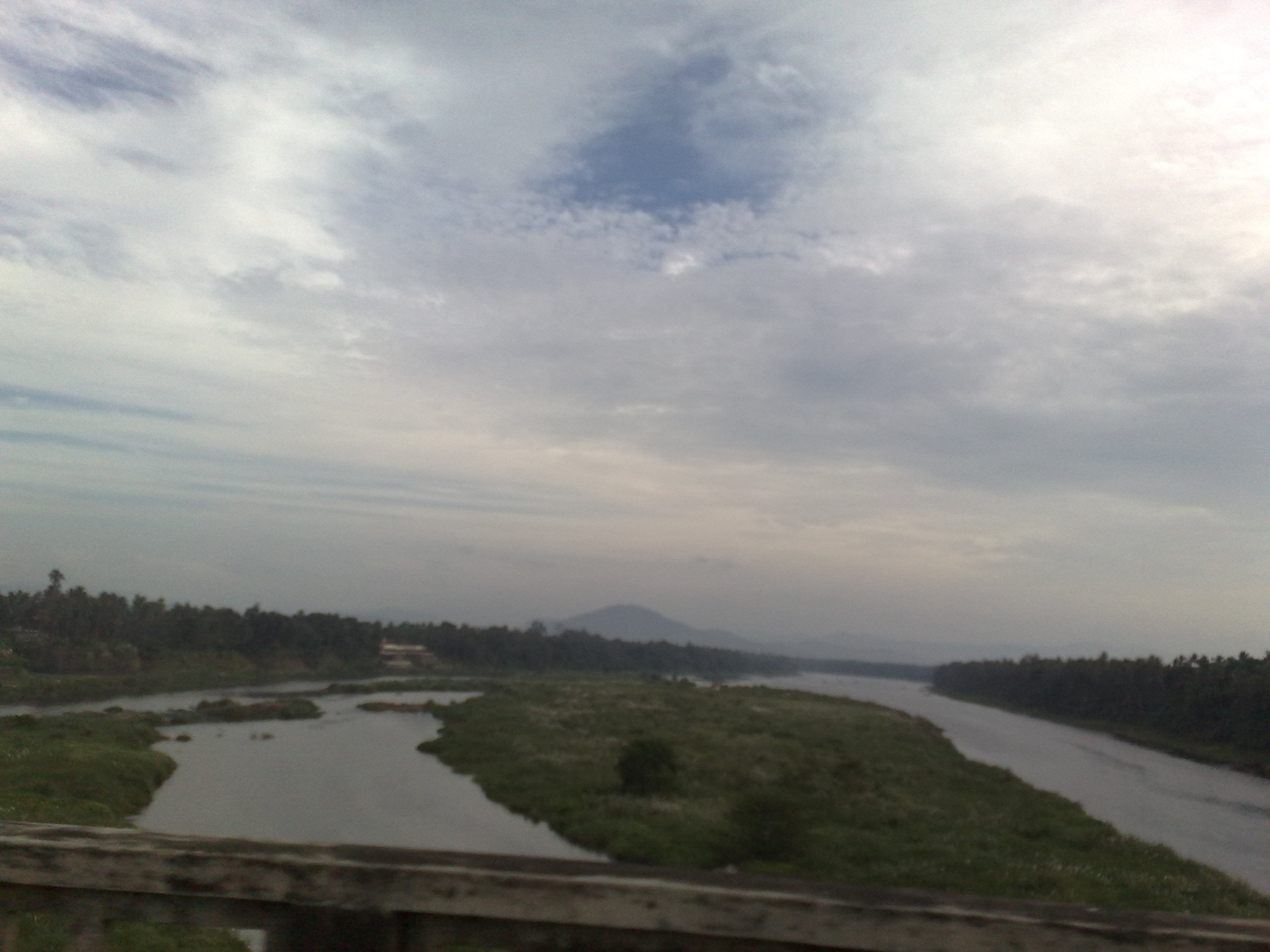
Periyar River...

Munnar to Poopara Road

Kerala's beauty

Athirappilly Water Falls
22122009834.jpg

Chulpu & ME land

Light bed

Water near Konadad
Topographic Map of Rayamangalam, Kerala, India
Find elevation by address:

Places near Rayamangalam, Kerala, India:
Kuruppampady
Kerala, India
Ernakulam
Keezhillam
Valakkara Bhagawathy Temple
Perumbavoor
Allapra
Vengoor
Mundackal Marakkar Memorial Library
Vengola
Airapuram
Union Bank Of India
Chelakulam
Karukulam
Pattimattom
Thaikkavu
Sree Sankaracharya Bridge
Kalady
Neeleeswaram
Kothamangalam
Recent Searches:
- Elevation of 24, Auburn Bay Crescent SE, Auburn Bay, Calgary, Alberta, T3M 0A6, Canada
- Elevation of Denver, 2314, Arapahoe Street, Five Points, Denver, Colorado, 80205, USA
- Elevation of Community of the Beatitudes, 2924, West 43rd Avenue, Sunnyside, Denver, Colorado, 80211, USA
- Elevation map of Litang County, Sichuan, China
- Elevation map of Madoi County, Qinghai, China
- Elevation of 3314, Ohio State Route 114, Payne, Paulding County, Ohio, 45880, USA
- Elevation of Sarahills Drive, Saratoga, Santa Clara County, California, 95070, USA
- Elevation of Town of Bombay, Franklin County, New York, USA
- Elevation of 9, Convent Lane, Center Moriches, Suffolk County, New York, 11934, USA
- Elevation of Saint Angelas Convent, 9, Convent Lane, Center Moriches, Suffolk County, New York, 11934, USA
- Elevation of 131st Street Southwest, Mukilteo, Snohomish County, Washington, 98275, USA
- Elevation of 304, Harrison Road, Naples, Cumberland County, Maine, 04055, USA
- Elevation of 2362, Timber Ridge Road, Harrisburg, Cabarrus County, North Carolina, 28075, USA
- Elevation of Ridge Road, Marshalltown, Marshall County, Iowa, 50158, USA
- Elevation of 2459, Misty Shadows Drive, Pigeon Forge, Sevier County, Tennessee, 37862, USA
- Elevation of 8043, Brightwater Way, Spring Hill, Williamson County, Tennessee, 37179, USA
- Elevation of Starkweather Road, San Luis, Costilla County, Colorado, 81152, USA
- Elevation of 5277, Woodside Drive, Baton Rouge, East Baton Rouge Parish, Louisiana, 70808, USA
- Elevation of 1139, Curtin Street, Shepherd Park Plaza, Houston, Harris County, Texas, 77018, USA
- Elevation of 136, Sellers Lane, Repton, Monroe County, Alabama, 36475, USA