Elevation map of Ernakulam, Kerala, India
Location: India > Kerala >
Longitude: 76.5488232
Latitude: 10.071771
Elevation: 43m / 141feet
Barometric Pressure: 101KPa
Elevation Map:
Satellite Map:
Related Photos:
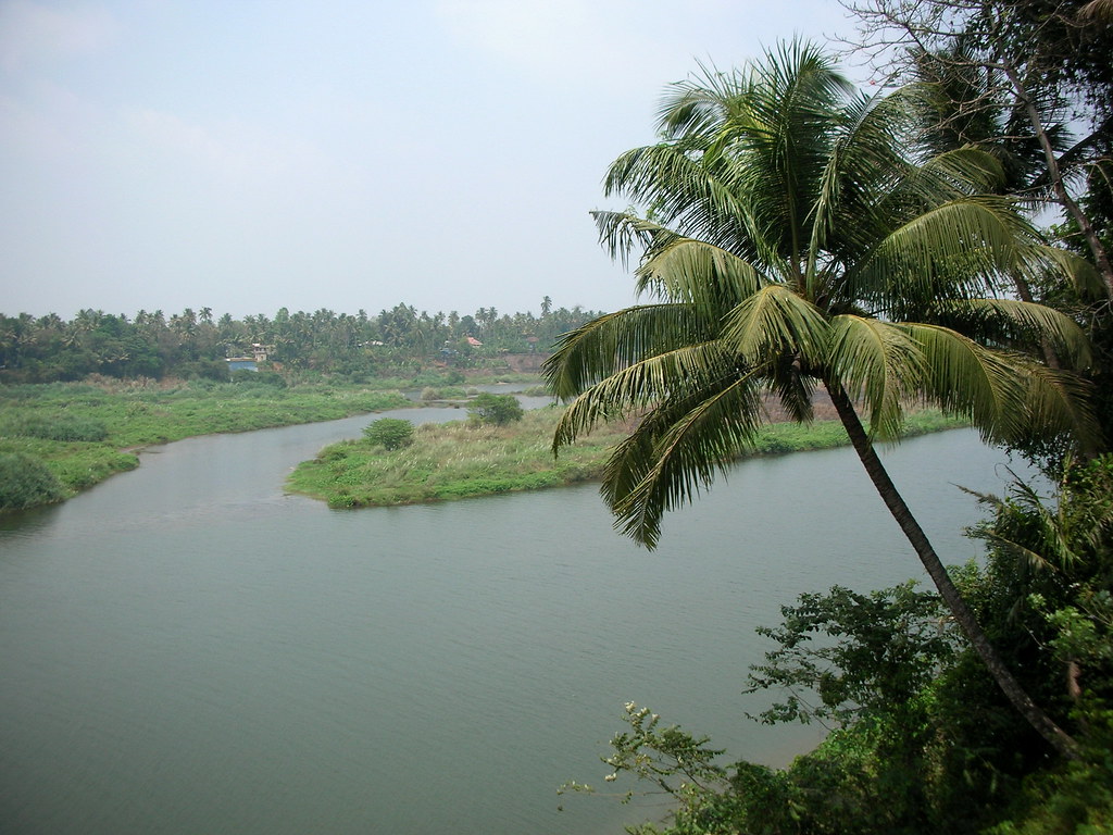
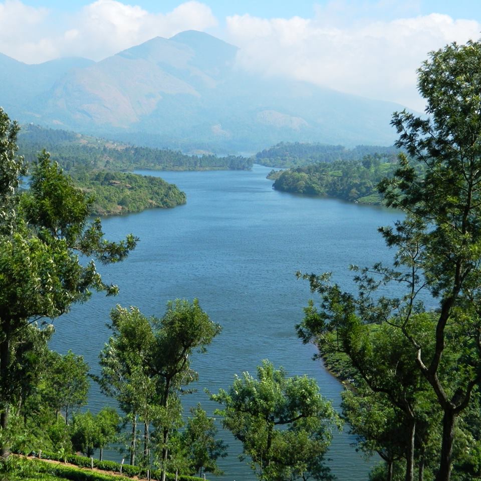
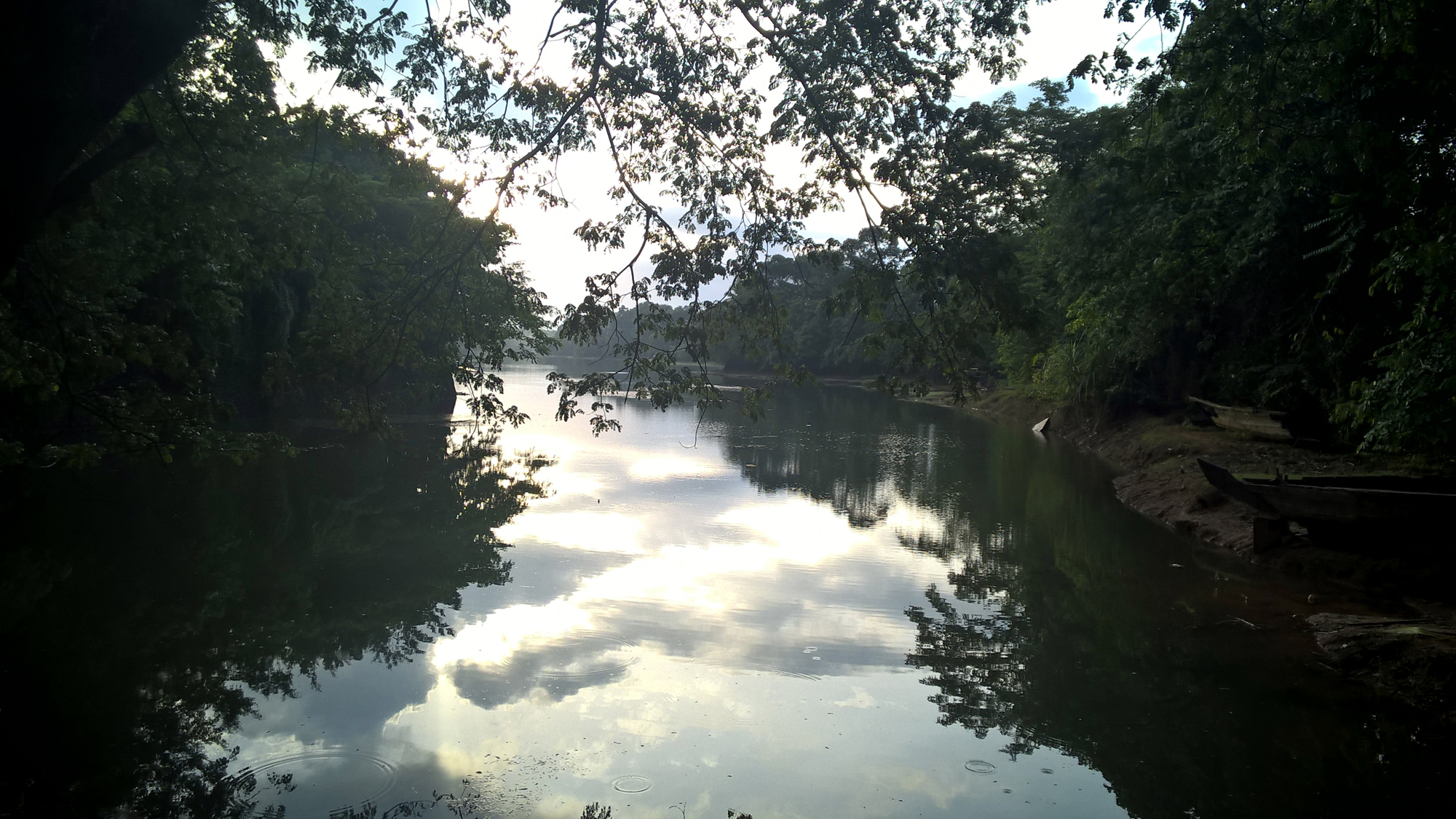
Periyar @ Kalady
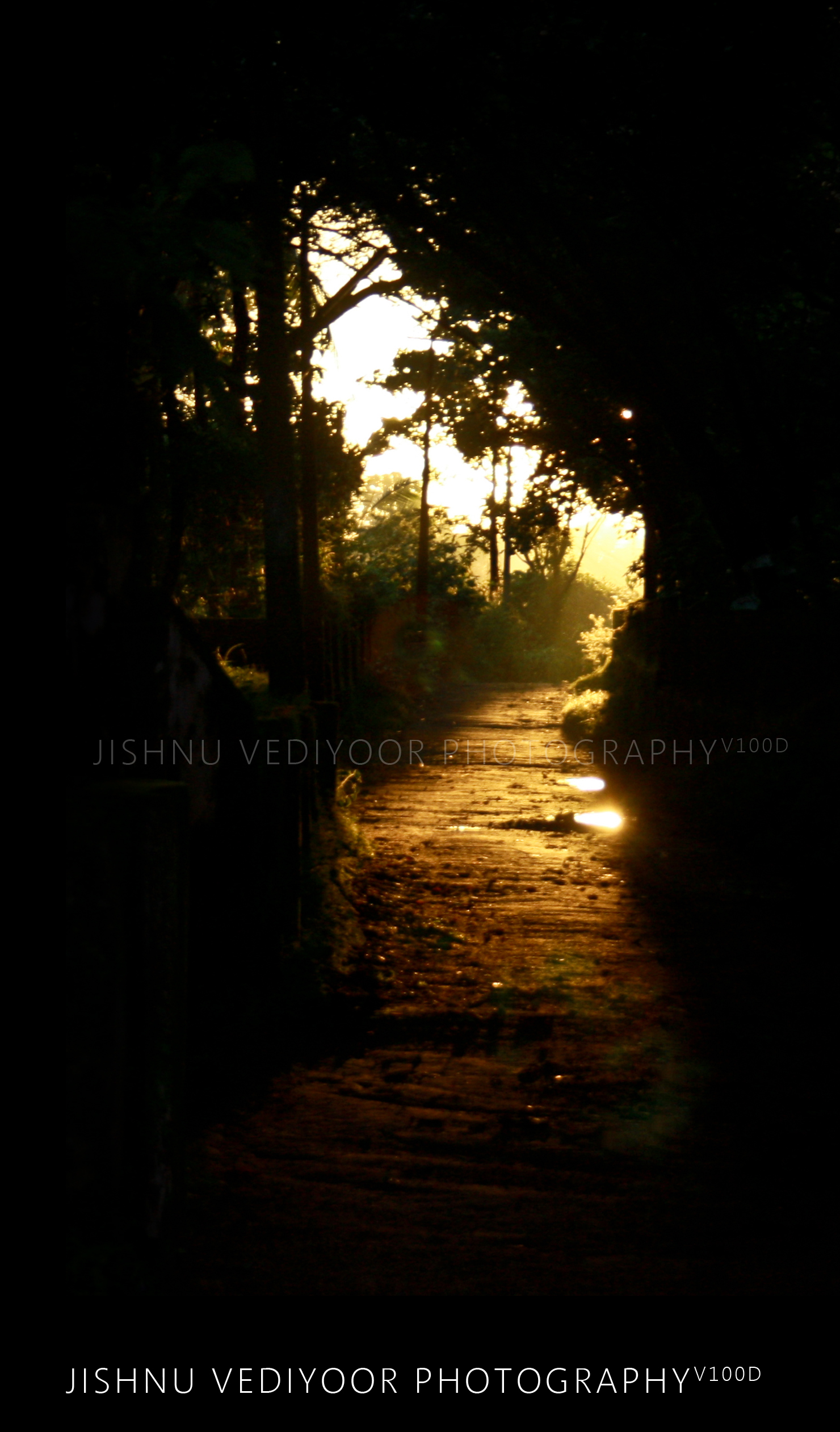
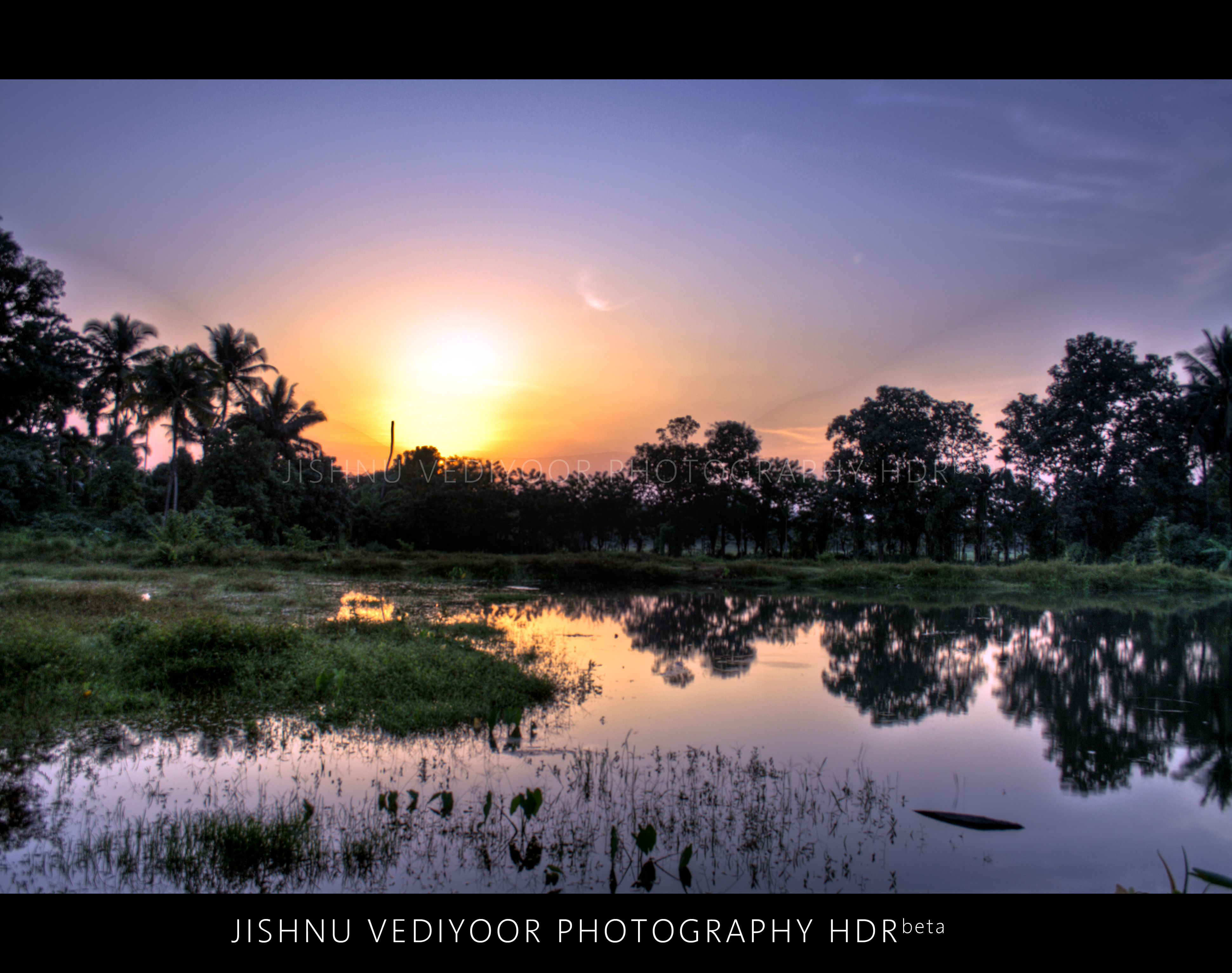
Sunset... a view from heaven

Monsoon + Kerala = God's own Country

Red Whiskered Bulbul

The bath tub for the elephants of Kodanad
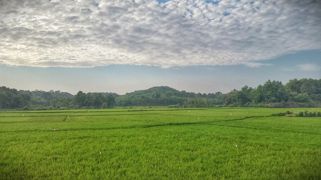
Paddy fields of kerala

Jungle Babbler
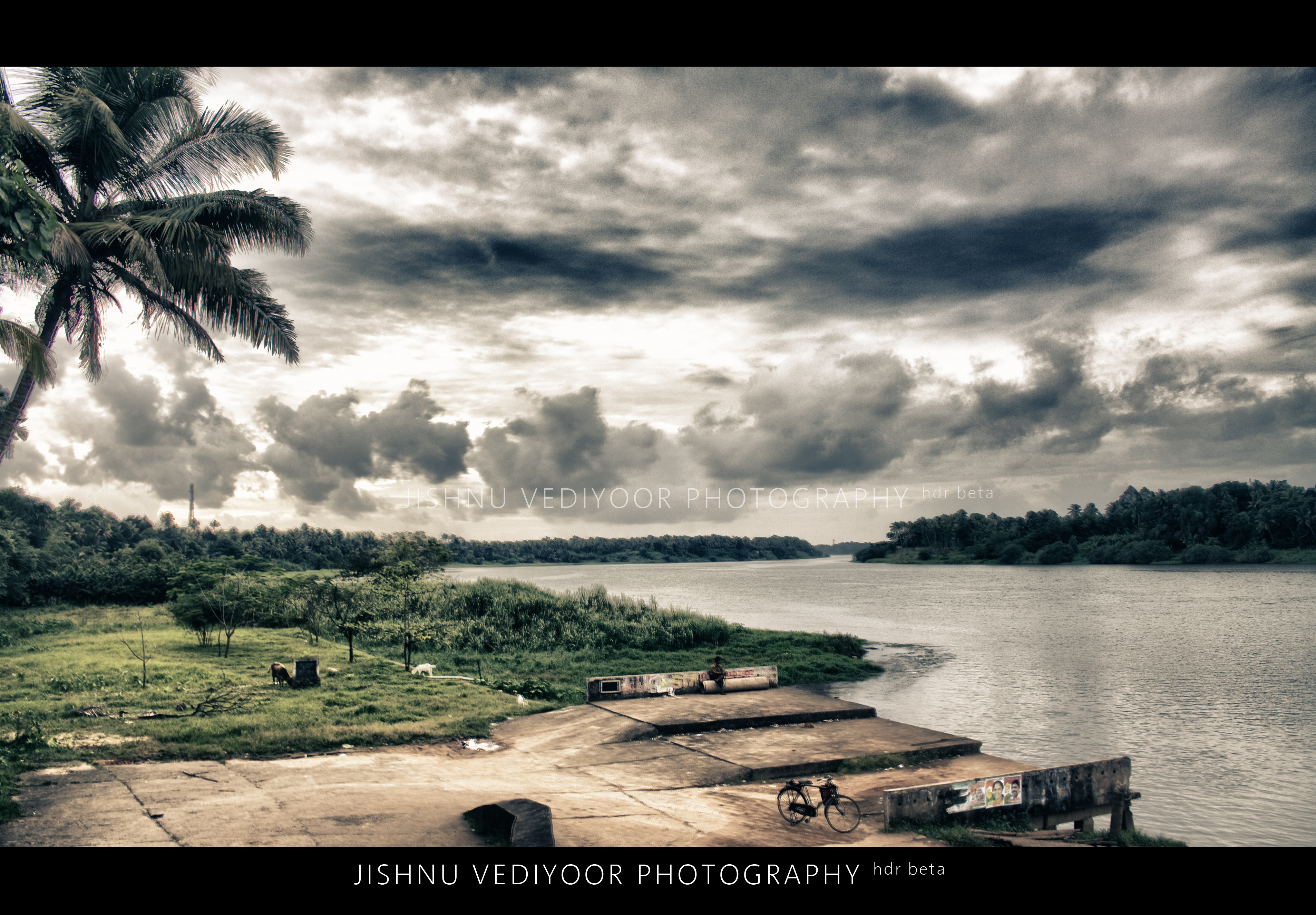
Marampilly (North Vazhakkulam) HDR beta
Sunset through somebody's paddy! ( HDR Experiments)
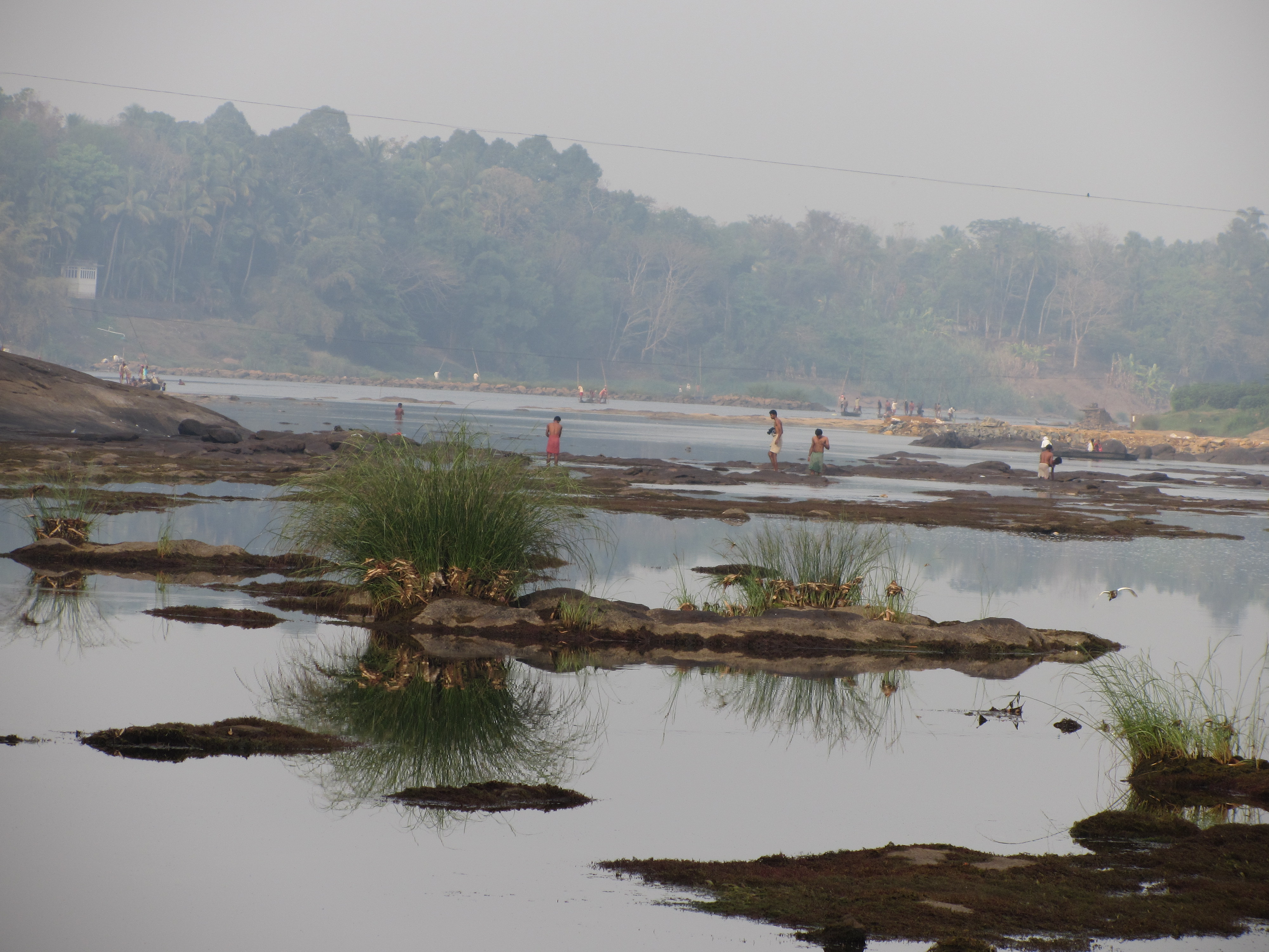
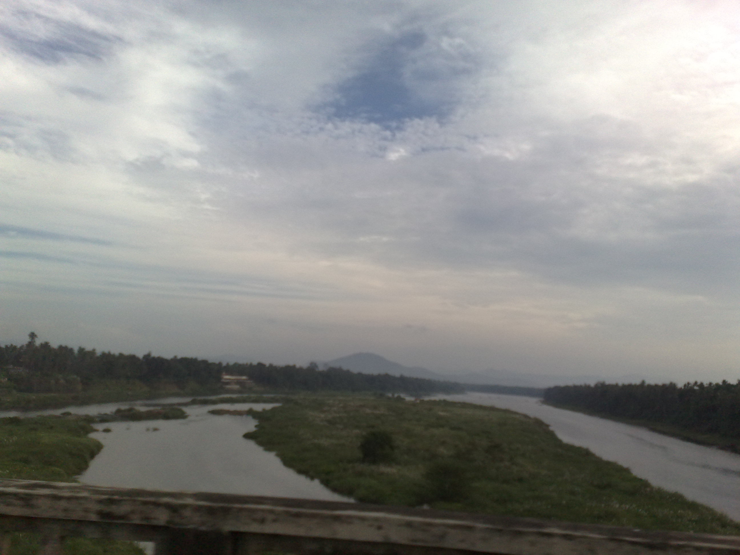
Bhoothathankettu [Ernakulam.Kerala]
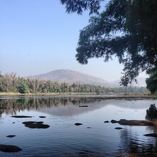
Water near Konadad
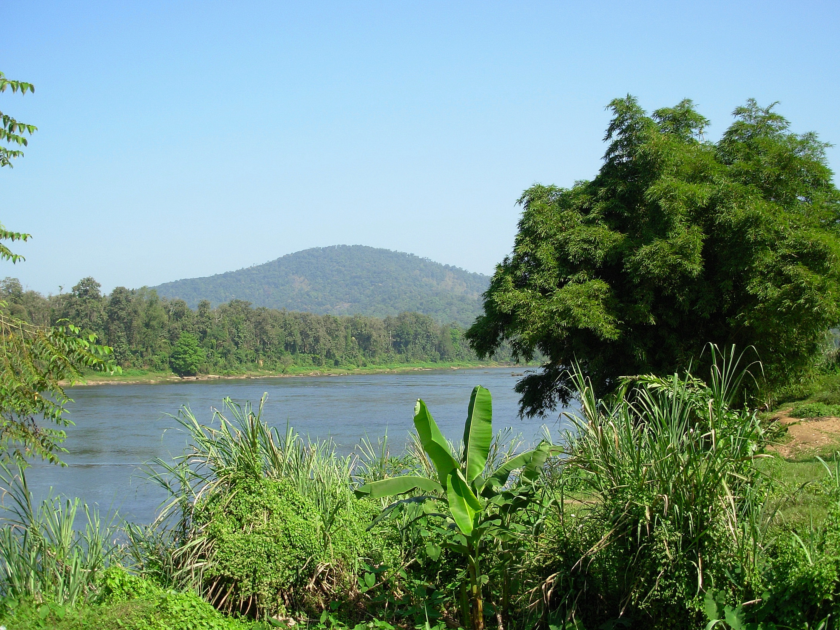
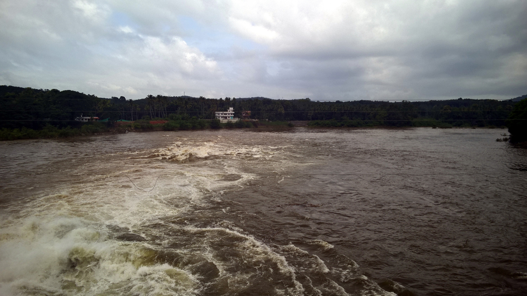
River Periyar - Kodanad, Kerala

Tirunadhapruam Temple HDR

Heaven is Right Here!
Munnar to Poopara Road
Kerala's beauty
22122009834.jpg

newsprint plantation

Athirappilly Water Falls

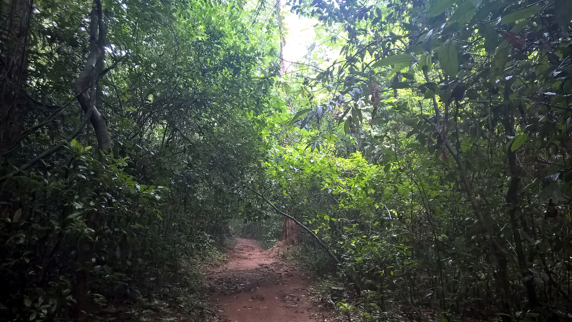
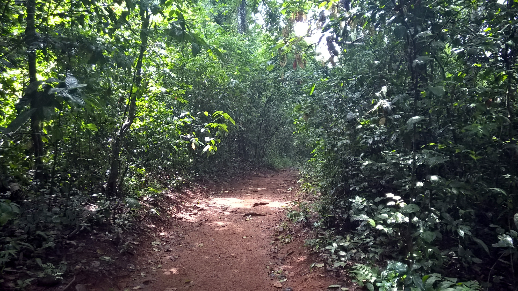
somewhere in the kodum kaadu
Bhoothathankettu [Ernakulam.Kerala]
Bhoothathankettu [Ernakulam.Kerala]

Rolling Hills of Munar
Bhoothathankettu [Ernakulam.Kerala]
Topographic Map of Ernakulam, Kerala, India
Find elevation by address:

Places in Ernakulam, Kerala, India:
Ernakulam
Kochi
Kakkanad
Pallikkara
Kothamangalam
Puthenvelikara
Mekkadambu
Neriamangalam
Angamaly
Kerala, India
Aluva
Thrippunithura
Thrippunithura
Pukkattupady
Neeleeswaram
Thuruthikkara
Mulanthuruthy
Morakkala
Pazhanganad
Kariyad
Chowara
Kuzhuppilly
Nedumbassery
Thevakkal
Perumbavoor
Thattekad
Manakkapady Manjaly Road
Kuruppampady
North Paravur
Karicode
Nakapuzha
Elanji
Nadukani
Kumarapuram
Memury
Pampakuda
Koothattukulam
Rayamangalam
Kizhakkummuri
Edakkunnu
Ayyampuzha
Kizhakkambalam
Vengola
Chelakulam
Pattimattom
Thaikkavu
Vengoor
Kalady
Keezhillam
Airapuram
Karukulam
Mazhuvannoor
Kolenchery
Perumpilly
Muvattupuzha
Kayantikkara
Places near Ernakulam, Kerala, India:
Keezhillam
Rayamangalam
Airapuram
Kuruppampady
Kerala, India
Mundackal Marakkar Memorial Library
Vengoor
Valakkara Bhagawathy Temple
Allapra
Vengola
Perumbavoor
Kothamangalam
Union Bank Of India
Chelakulam
Pattimattom
Karukulam
Thaikkavu
Sree Sankaracharya Bridge
Kalady
Neeleeswaram
Recent Searches:
- Elevation of Corso Fratelli Cairoli, 35, Macerata MC, Italy
- Elevation of Tallevast Rd, Sarasota, FL, USA
- Elevation of 4th St E, Sonoma, CA, USA
- Elevation of Black Hollow Rd, Pennsdale, PA, USA
- Elevation of Oakland Ave, Williamsport, PA, USA
- Elevation of Pedrógão Grande, Portugal
- Elevation of Klee Dr, Martinsburg, WV, USA
- Elevation of Via Roma, Pieranica CR, Italy
- Elevation of Tavkvetili Mountain, Georgia
- Elevation of Hartfords Bluff Cir, Mt Pleasant, SC, USA