Elevation of th Ave NW, Gig Harbor, WA, USA
Location: United States > Washington > Pierce County > Gig Harbor >
Longitude: -122.79073
Latitude: 47.3906653
Elevation: 52m / 171feet
Barometric Pressure: 101KPa
Elevation Map:
Satellite Map:
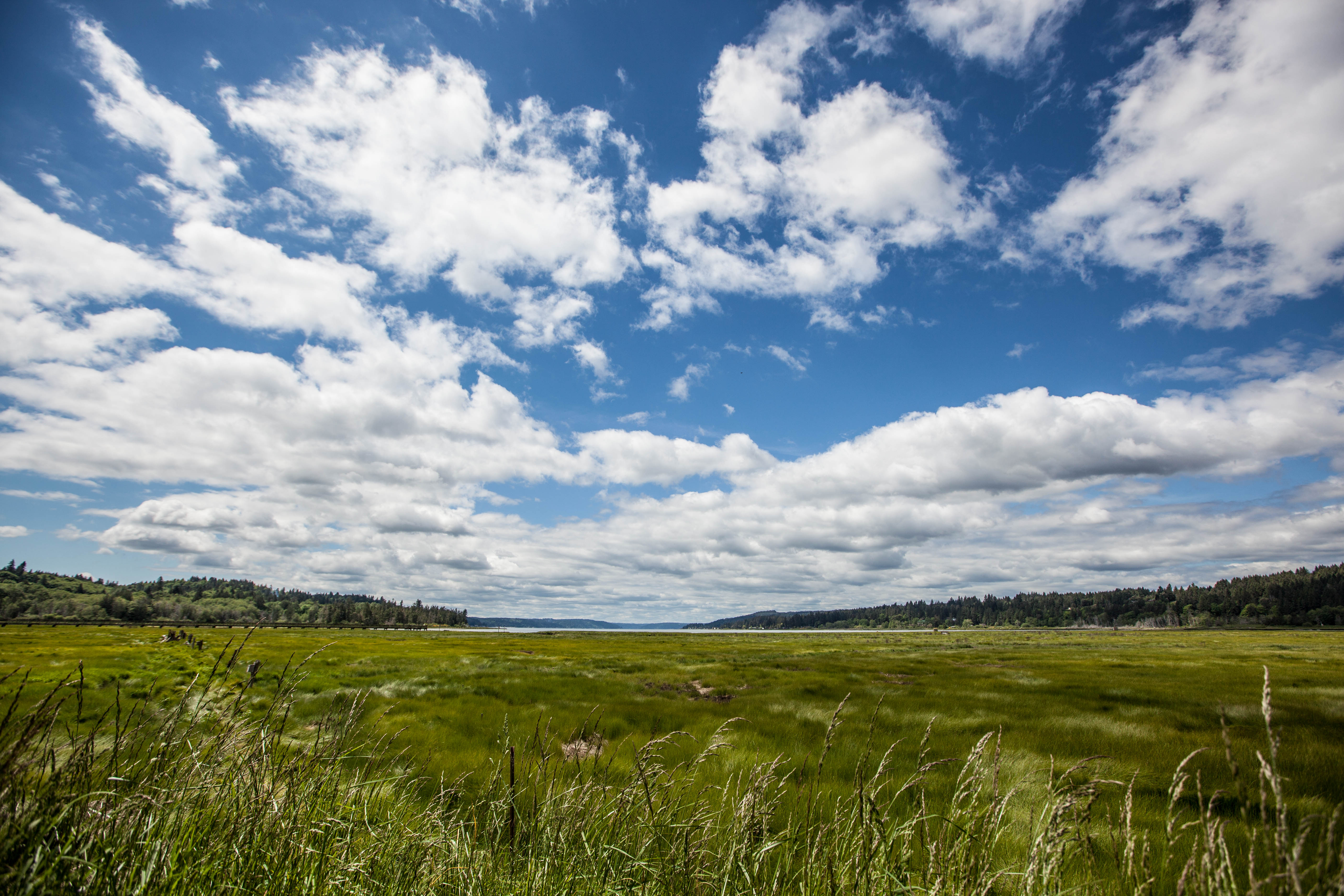
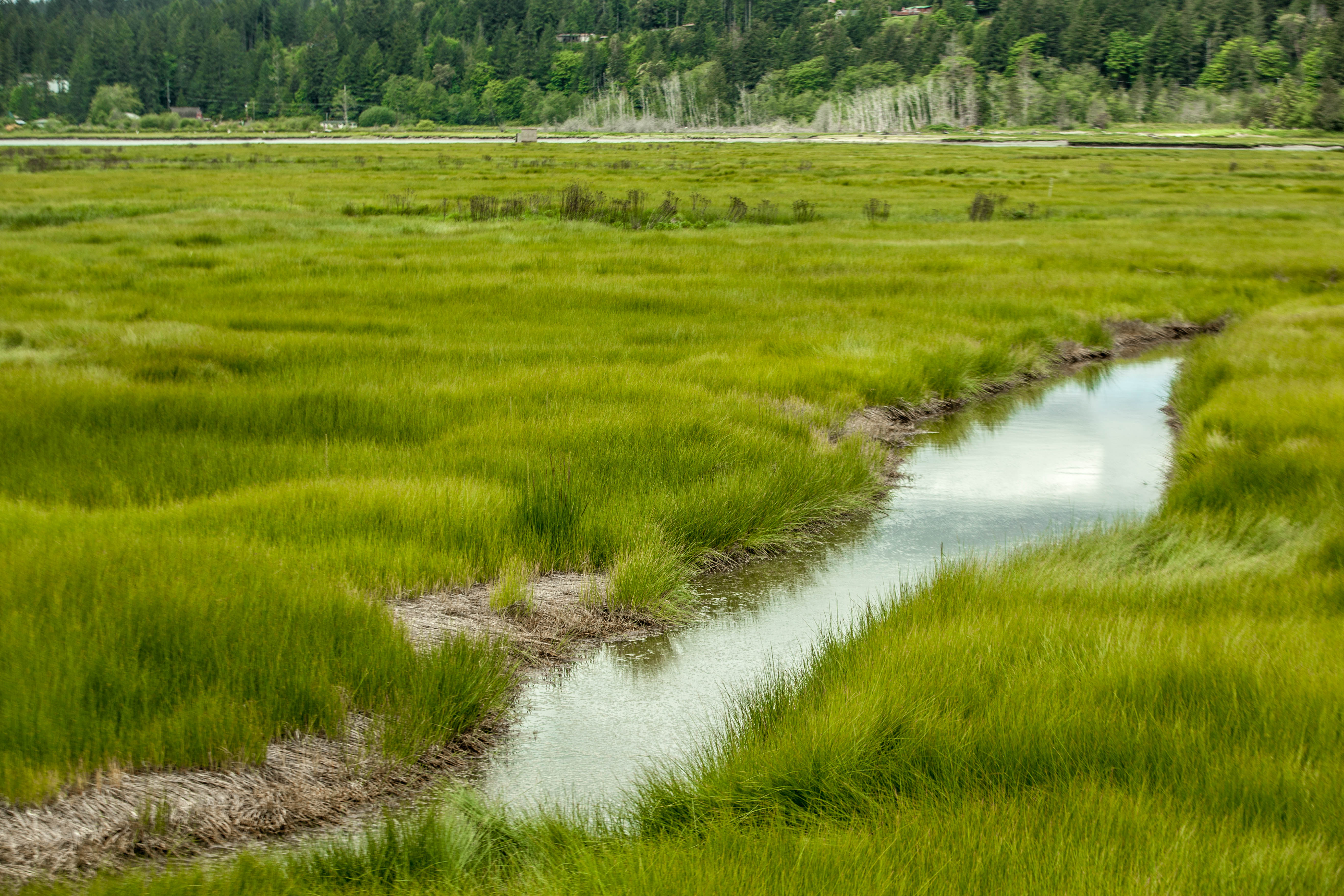
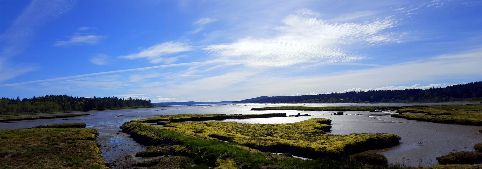
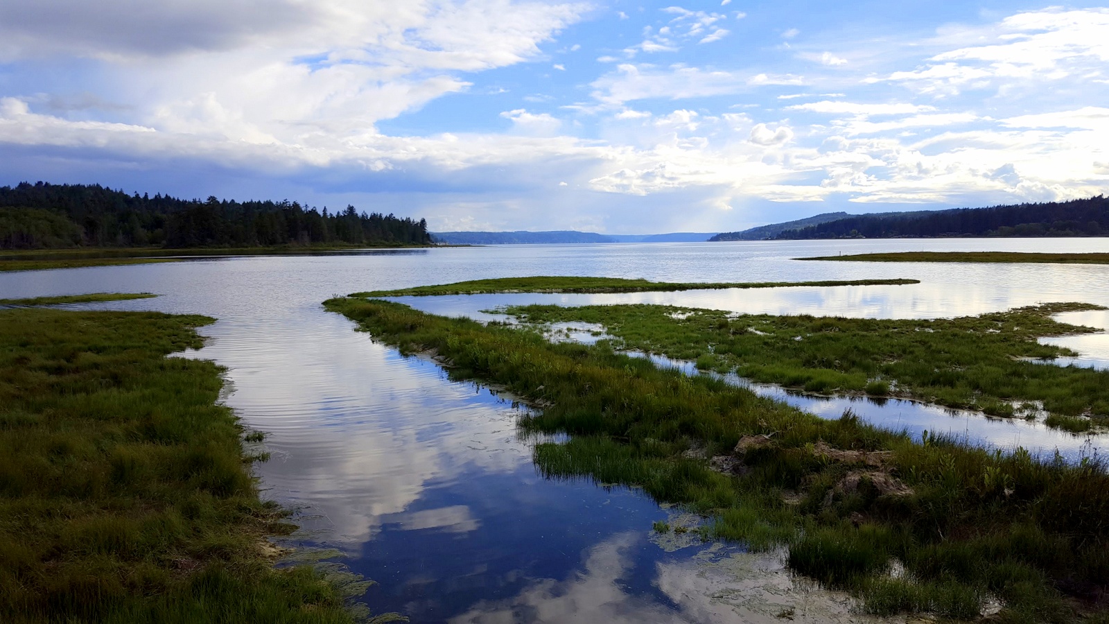
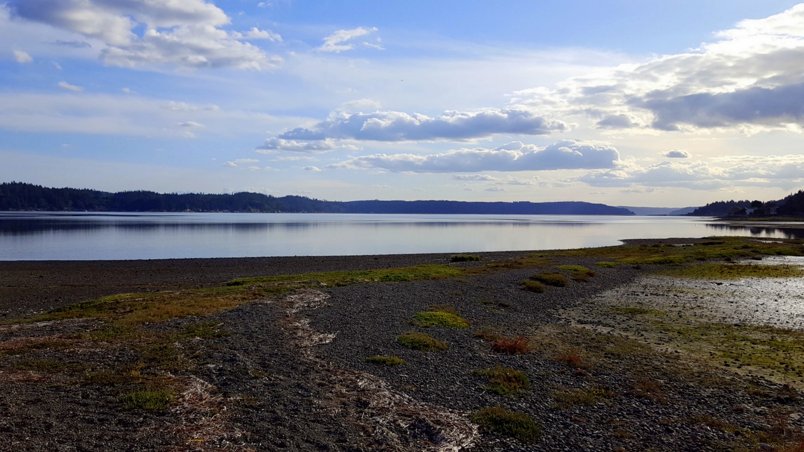
Related Photos:

Outta the fog, Into the Light

Winding down

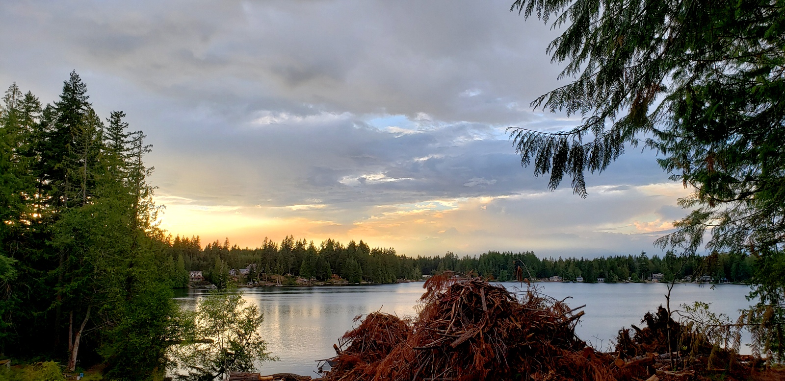
In The Lake View

Changes Every Hour
Empty Store

Passed Over (p)
A side view
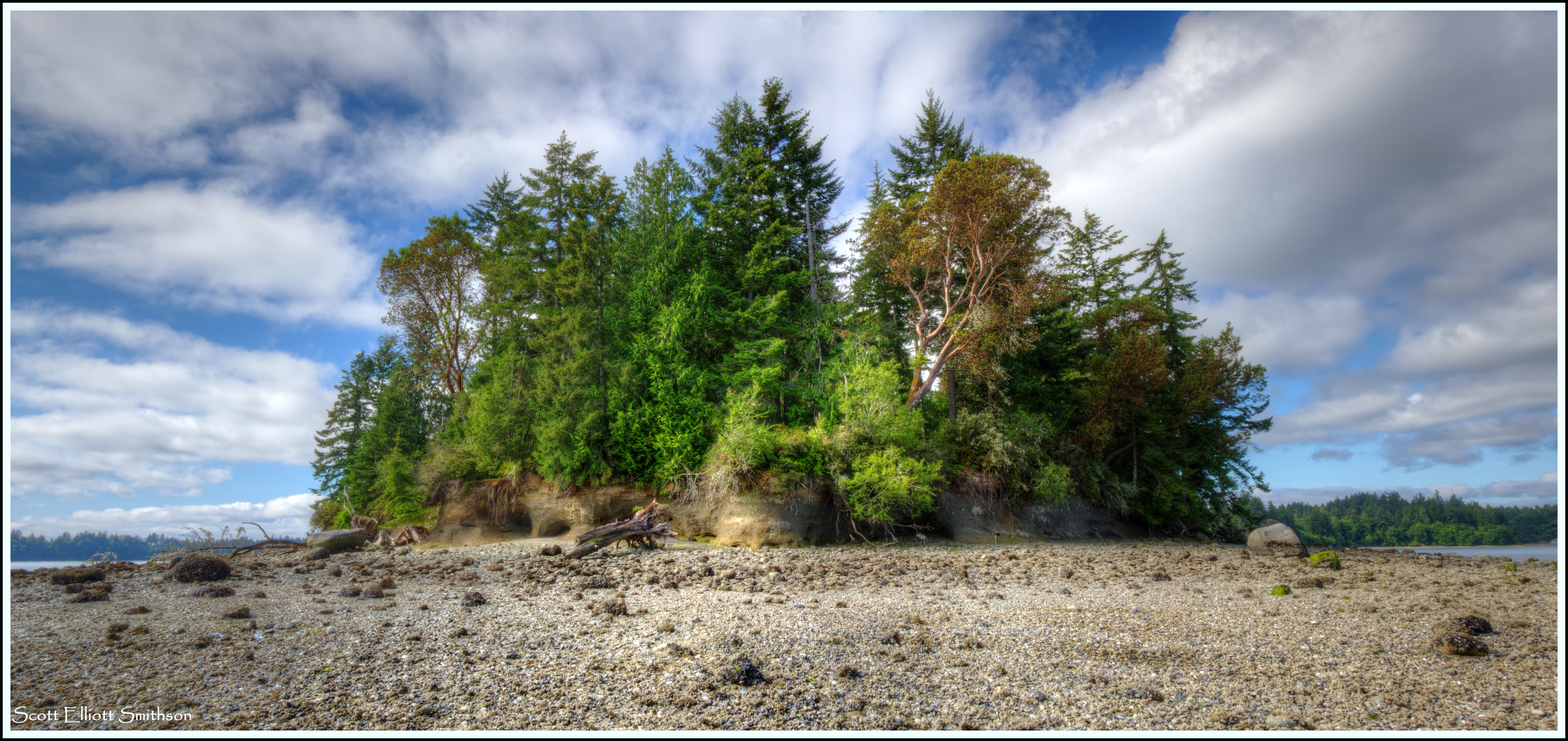
Penrose Point
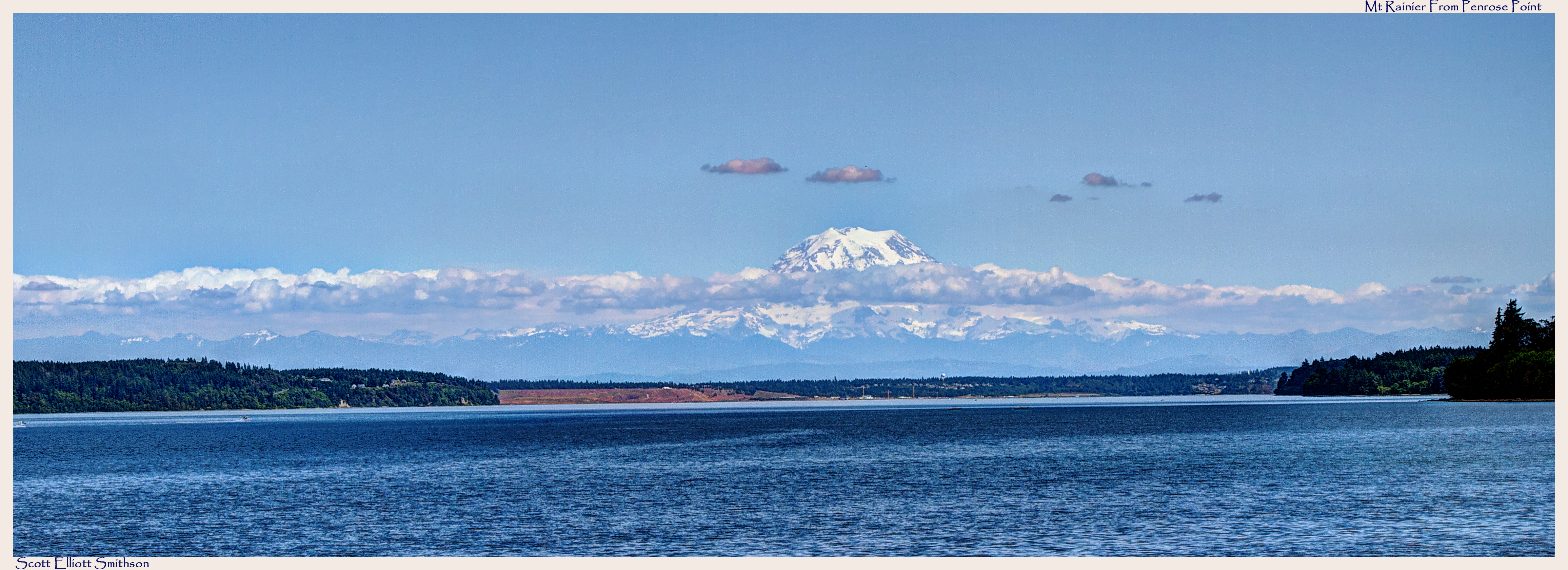
Mt Rainier from Penrose Point Pano
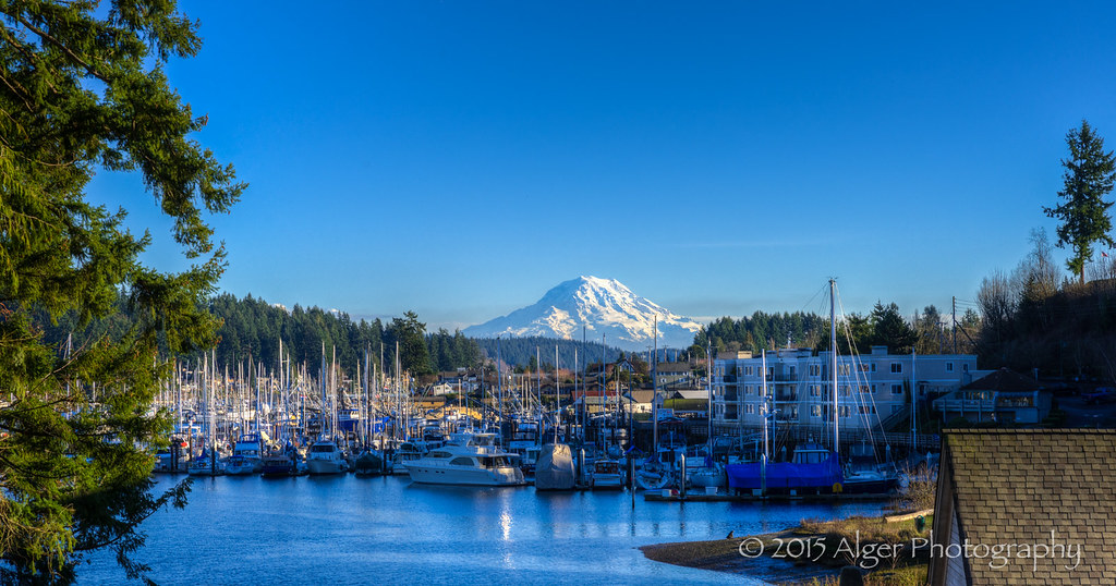
Good Day in Gig Harbor
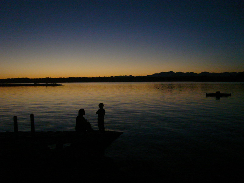
Lake view
DSC01394.JPG
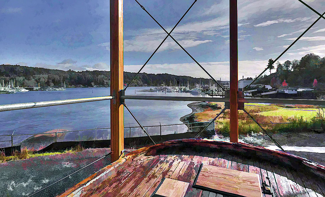
Shenandoah stern view of Gig Harbor

IMG_4179 Least Sandpiper - Calidris minutilla

Back Porch Lit
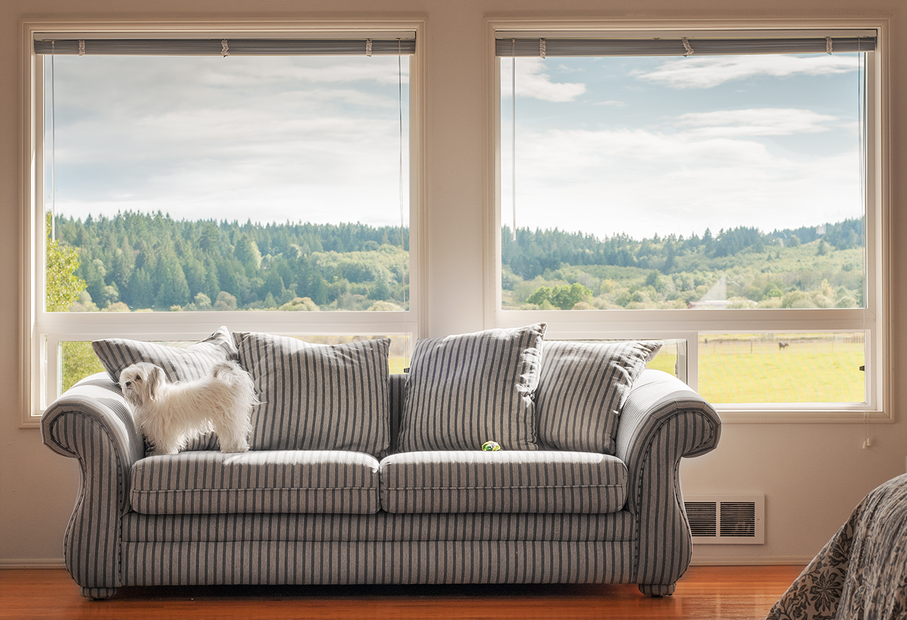
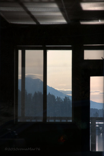
A Room with a View
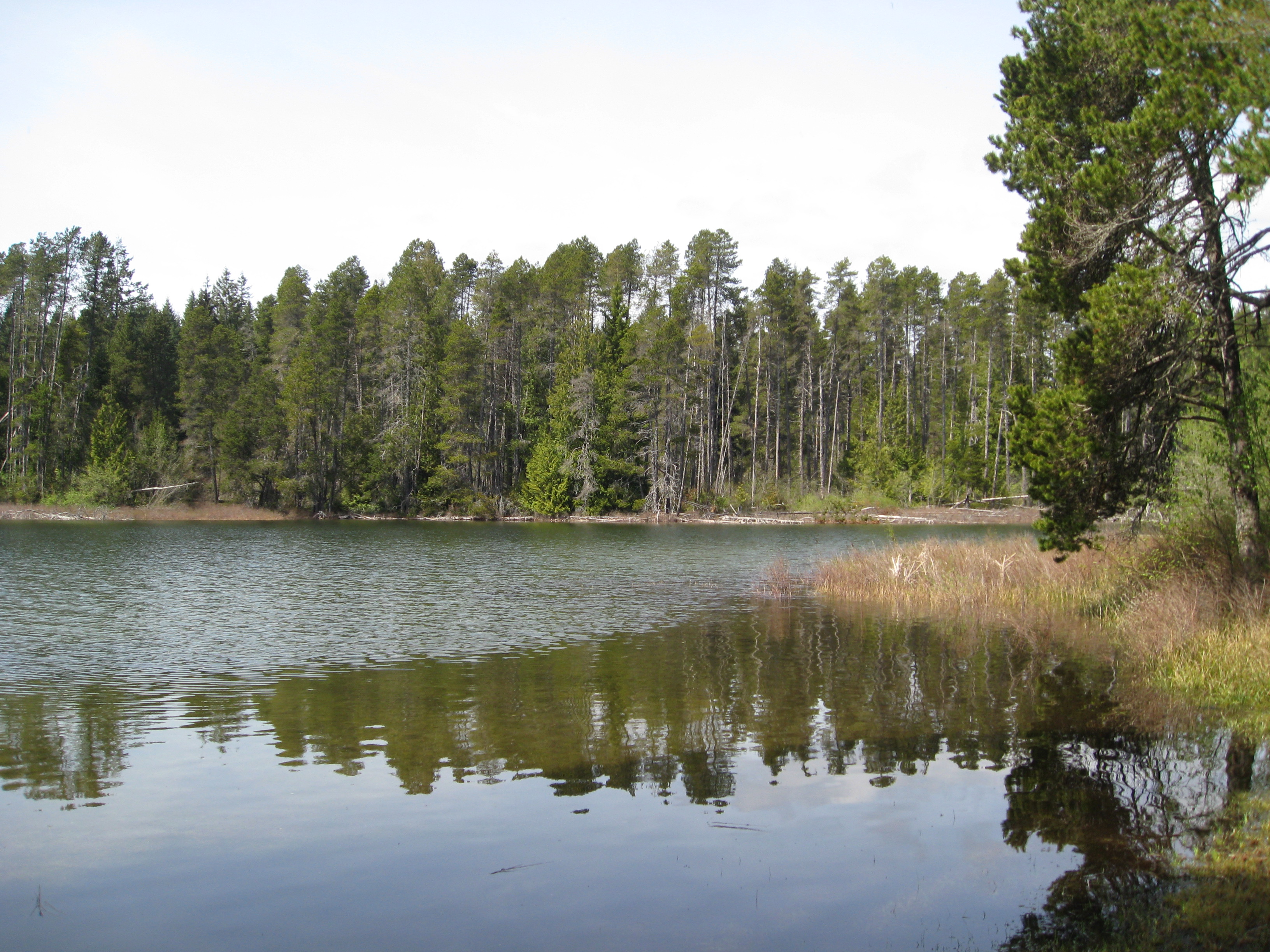
Panther Lake

Twinkle Stuff
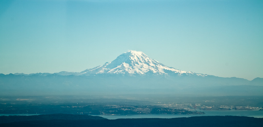
Mount Rainier

The View

Down on the trail

A Walk in the Snow
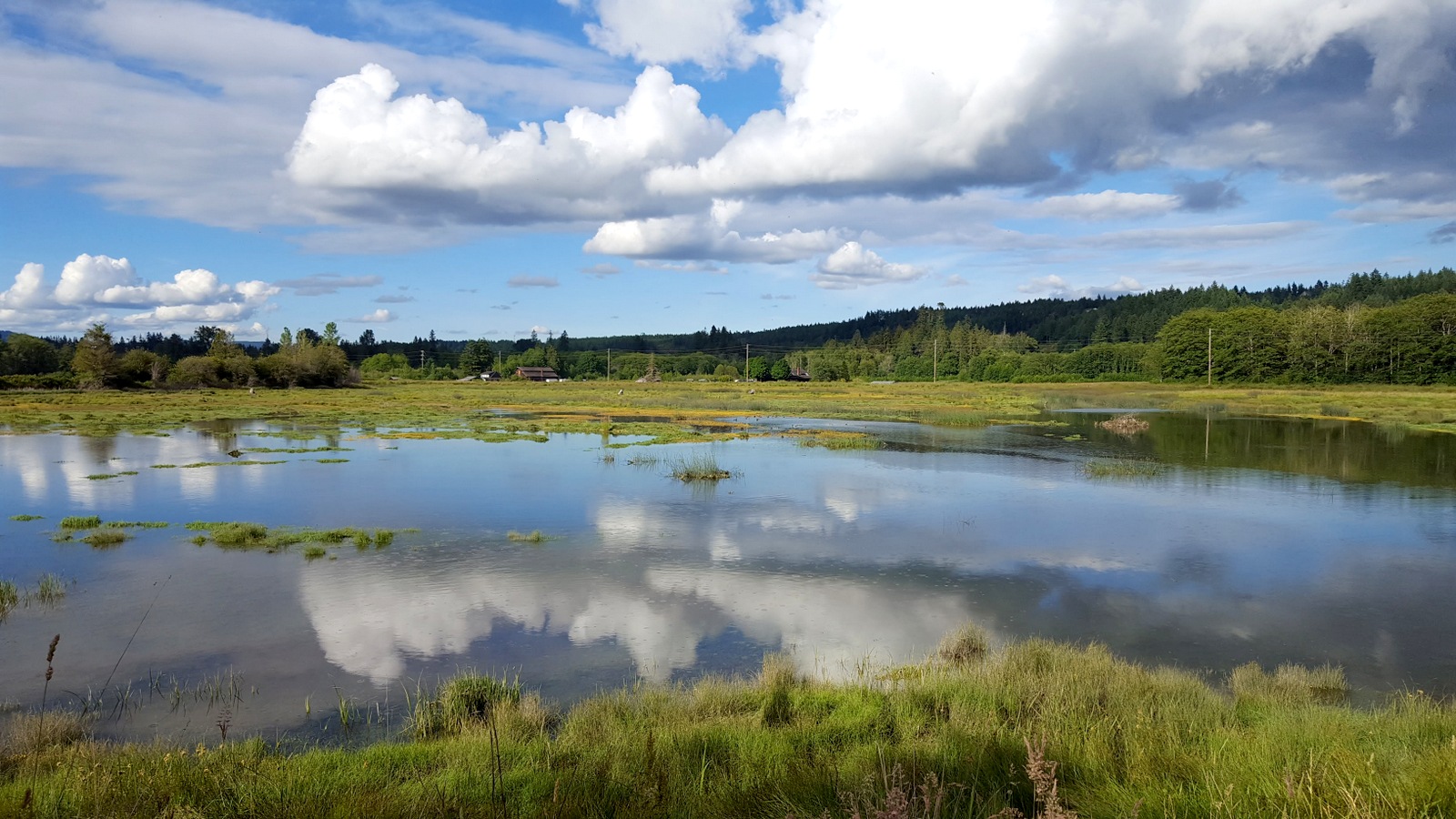
Reclaimed wetland

Lost Boat? (p)
Thelar Wetlands Big Sky

Into the Morning Light

Tree Tops (p)
Salt Marsh

Nikon D7000 Sunset Tokina 11-16mm Wide Angle

Shore Lapping (p)
Low tide at the Hood Canal
Watchin the tide roll in
Low tide at the Belfair State Park

#clouds #trees
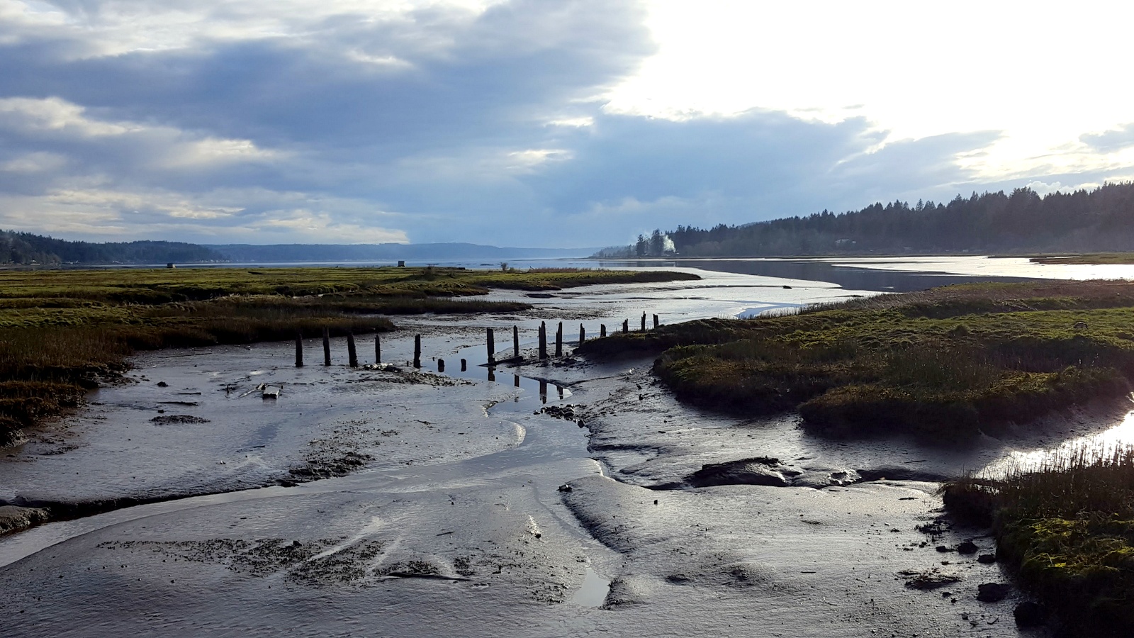
Hood Canal tidal runoff.

The tides flowing into the Theler Wetlands

Along The Bank (p)
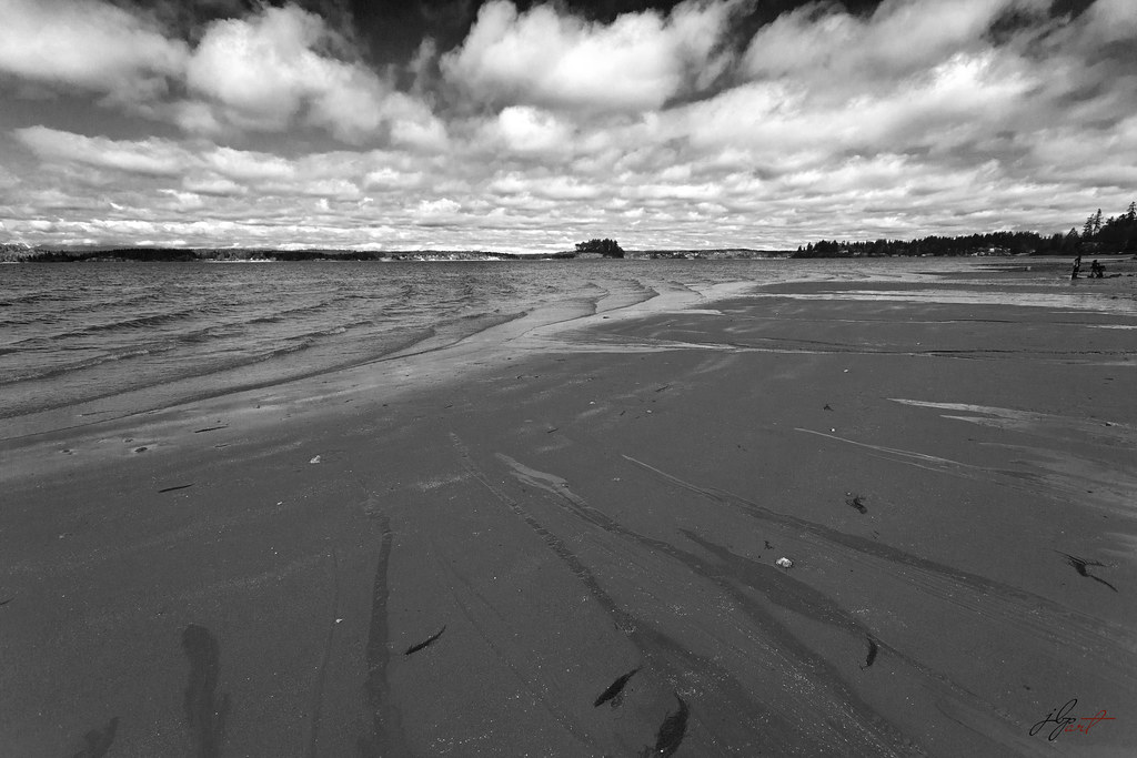
low tide
Topographic Map of th Ave NW, Gig Harbor, WA, USA
Find elevation by address:

Places near th Ave NW, Gig Harbor, WA, USA:
14720 190th Ave Nw
14720 190th Ave Nw
15606 173rd Ave Nw
Allyn
201 E Toni Smith Ln
9707 Wright Bliss Rd Kp N
31 Westlake Dr S
14103 144th St Nw
74 E Rasor Rd
Allyn-grapeview
23552 Wa-3
11421 141st Ave Nw
Belfair
21 E Thunderhead Dr
WA-, Belfair, WA, USA
12298 Bear Track Ln Sw
E Eckert Rd, Grapeview, WA, USA
14455 Sw Lyons Ln
13504 135th Ave Nw
Grapeview
Recent Searches:
- Elevation of Corso Fratelli Cairoli, 35, Macerata MC, Italy
- Elevation of Tallevast Rd, Sarasota, FL, USA
- Elevation of 4th St E, Sonoma, CA, USA
- Elevation of Black Hollow Rd, Pennsdale, PA, USA
- Elevation of Oakland Ave, Williamsport, PA, USA
- Elevation of Pedrógão Grande, Portugal
- Elevation of Klee Dr, Martinsburg, WV, USA
- Elevation of Via Roma, Pieranica CR, Italy
- Elevation of Tavkvetili Mountain, Georgia
- Elevation of Hartfords Bluff Cir, Mt Pleasant, SC, USA