Elevation of th St NW, Gig Harbor, WA, USA
Location: United States > Washington > Pierce County > Gig Harbor >
Longitude: -122.72625
Latitude: 47.390789
Elevation: 82m / 269feet
Barometric Pressure: 100KPa
Elevation Map:
Satellite Map:
Related Photos:

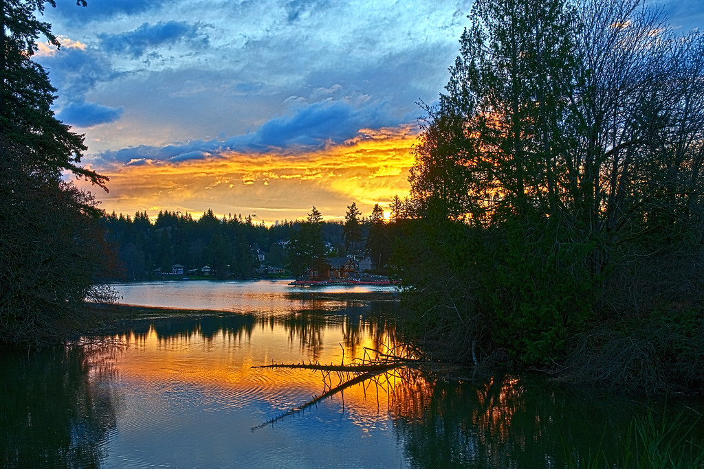
iPhone Sunset
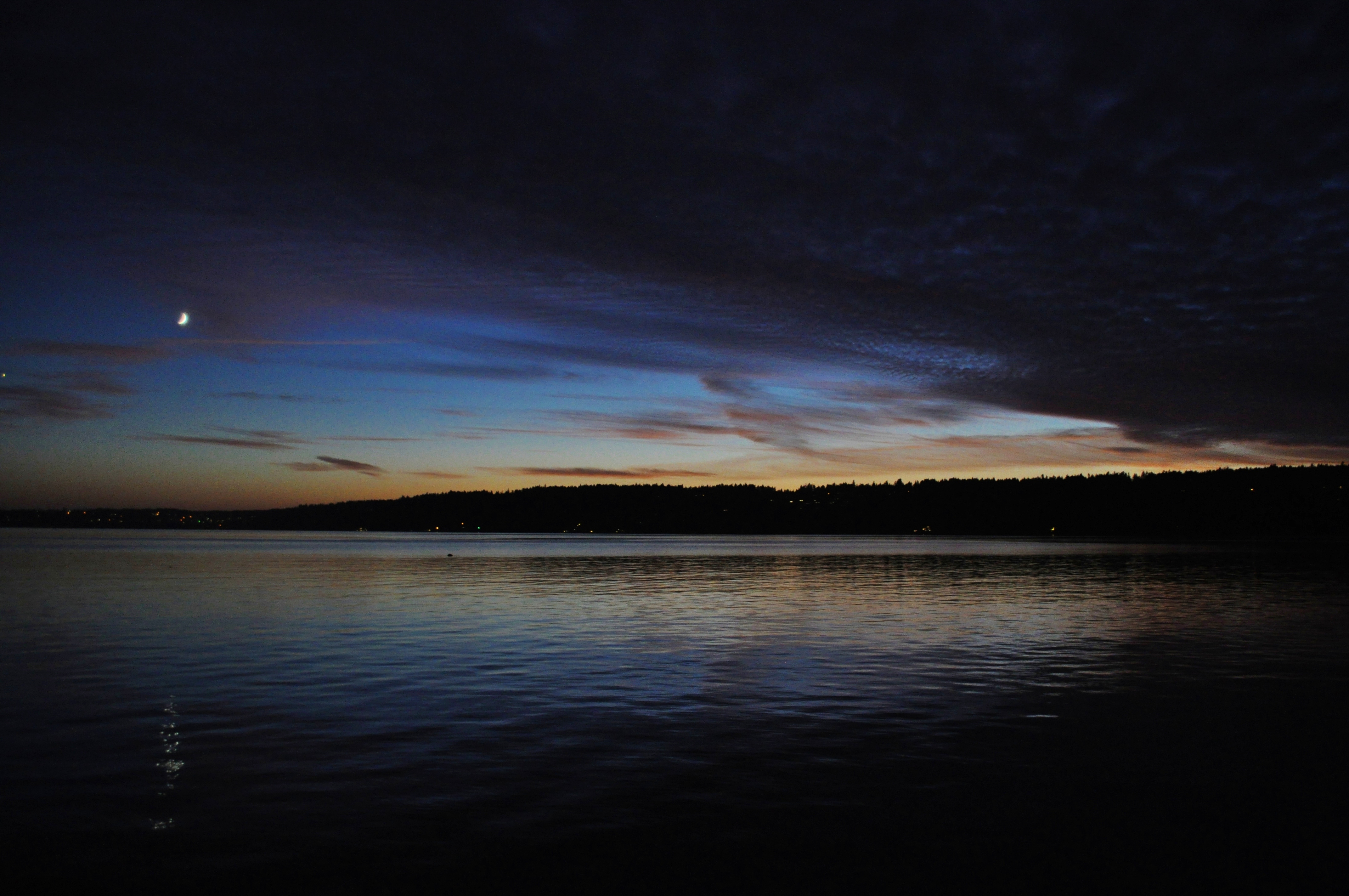
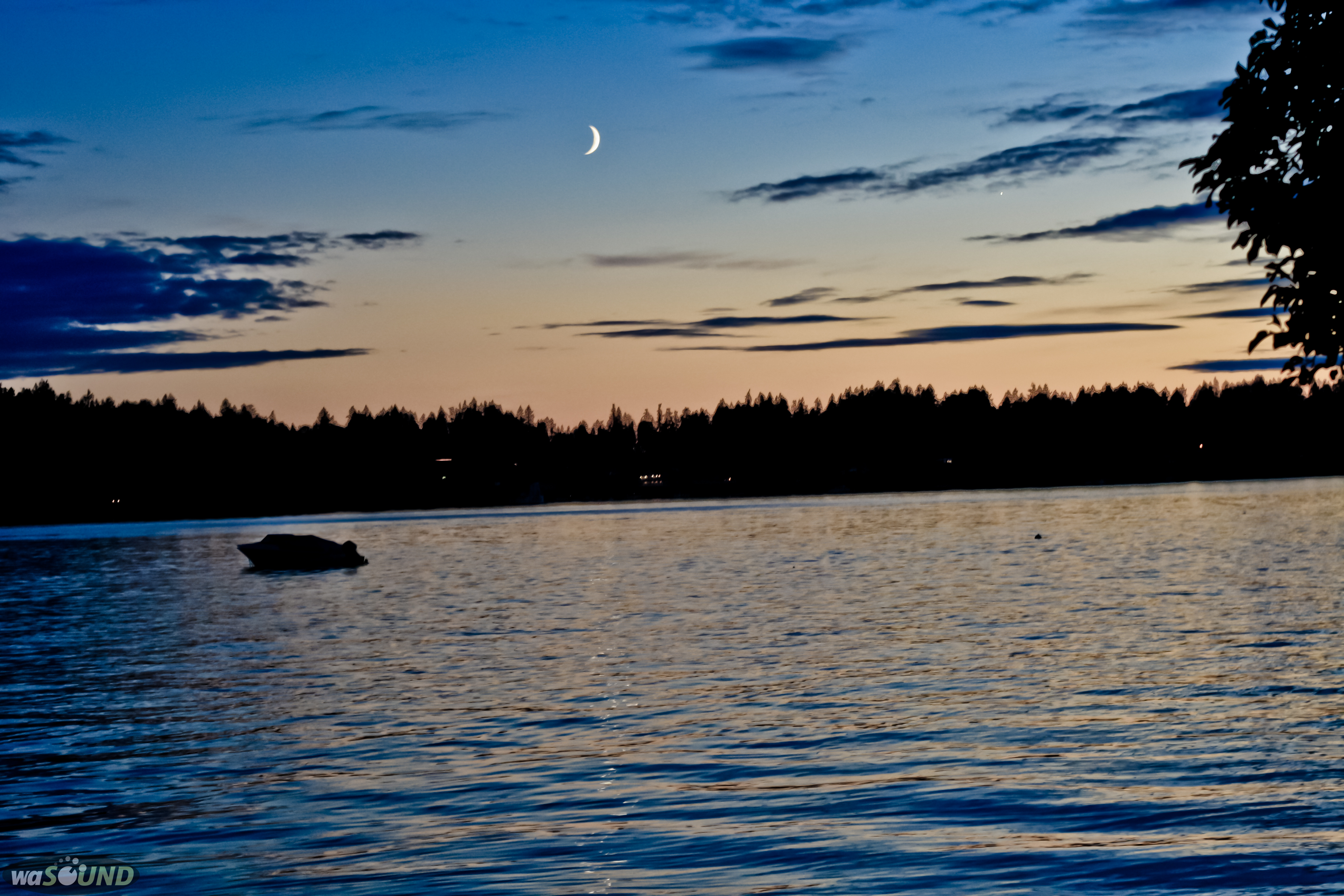
At Dusk
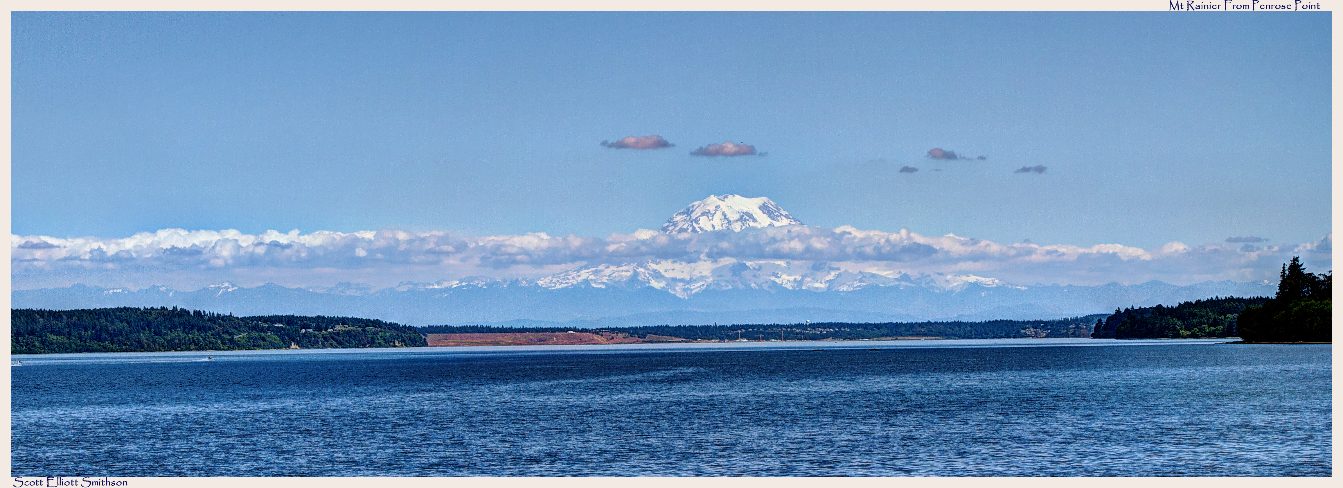
Mt Rainier from Penrose Point Pano
Olalla Bay in the Morning

Cozy Family Room, Gig Harbor WA
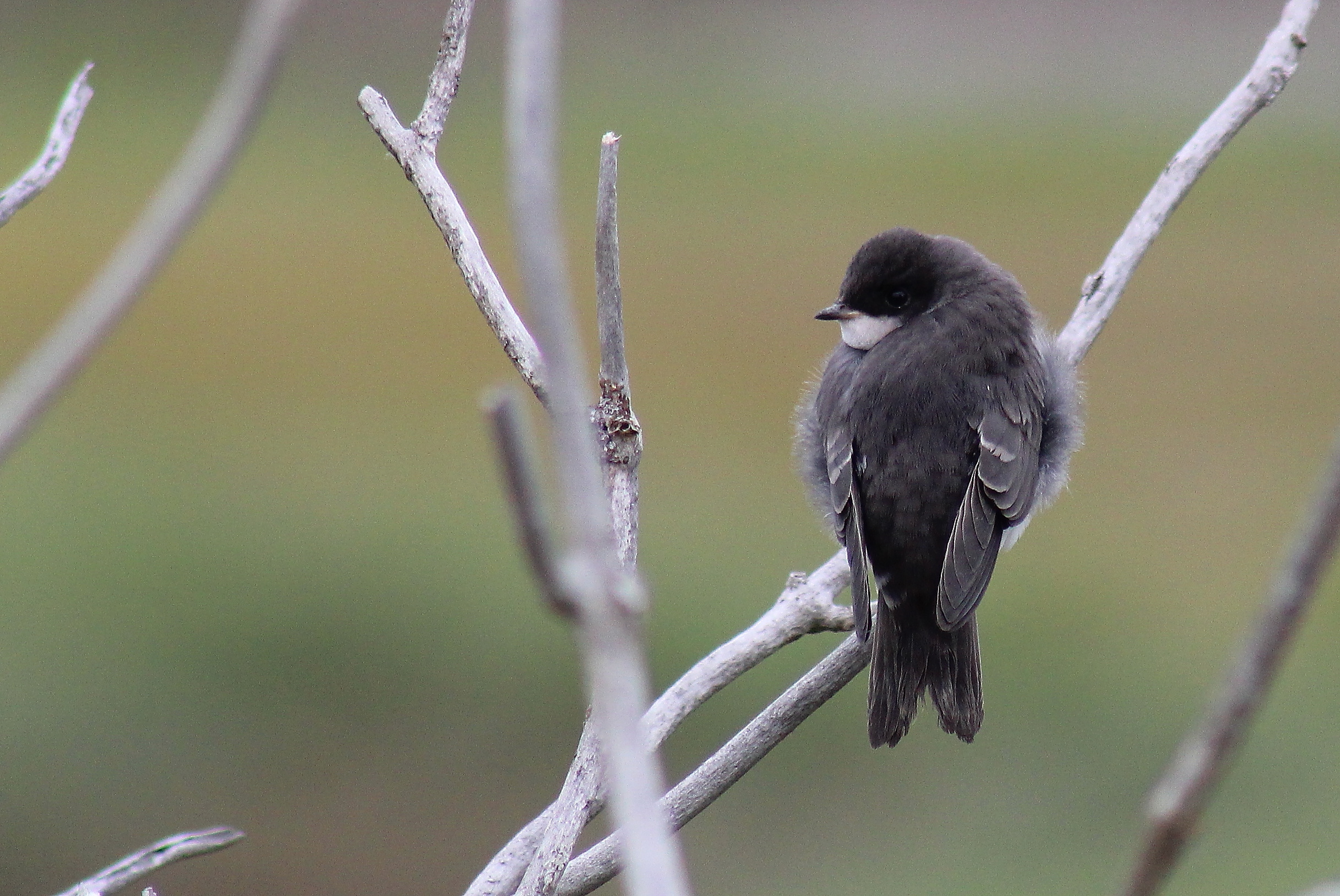
IMG_8739 Tree Swallow

Living Room View

Kayak Reflections
A side view

out for a paddle

Those Moments
summertime.....

My view this morning when I woke up

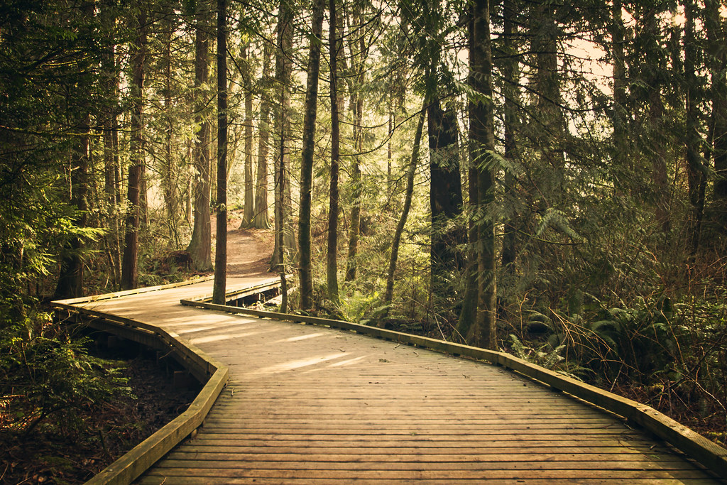
Down on the trail
Good Day in Gig Harbor
DSC01394.JPG
Lake view

Gig Harbor View from Eddon Boatyard

In The Lake View

Mr. Pants Reflected #iphoneography #bestofday #view

IMG_4179 Least Sandpiper - Calidris minutilla

#clouds #trees

Vanishing shadows...
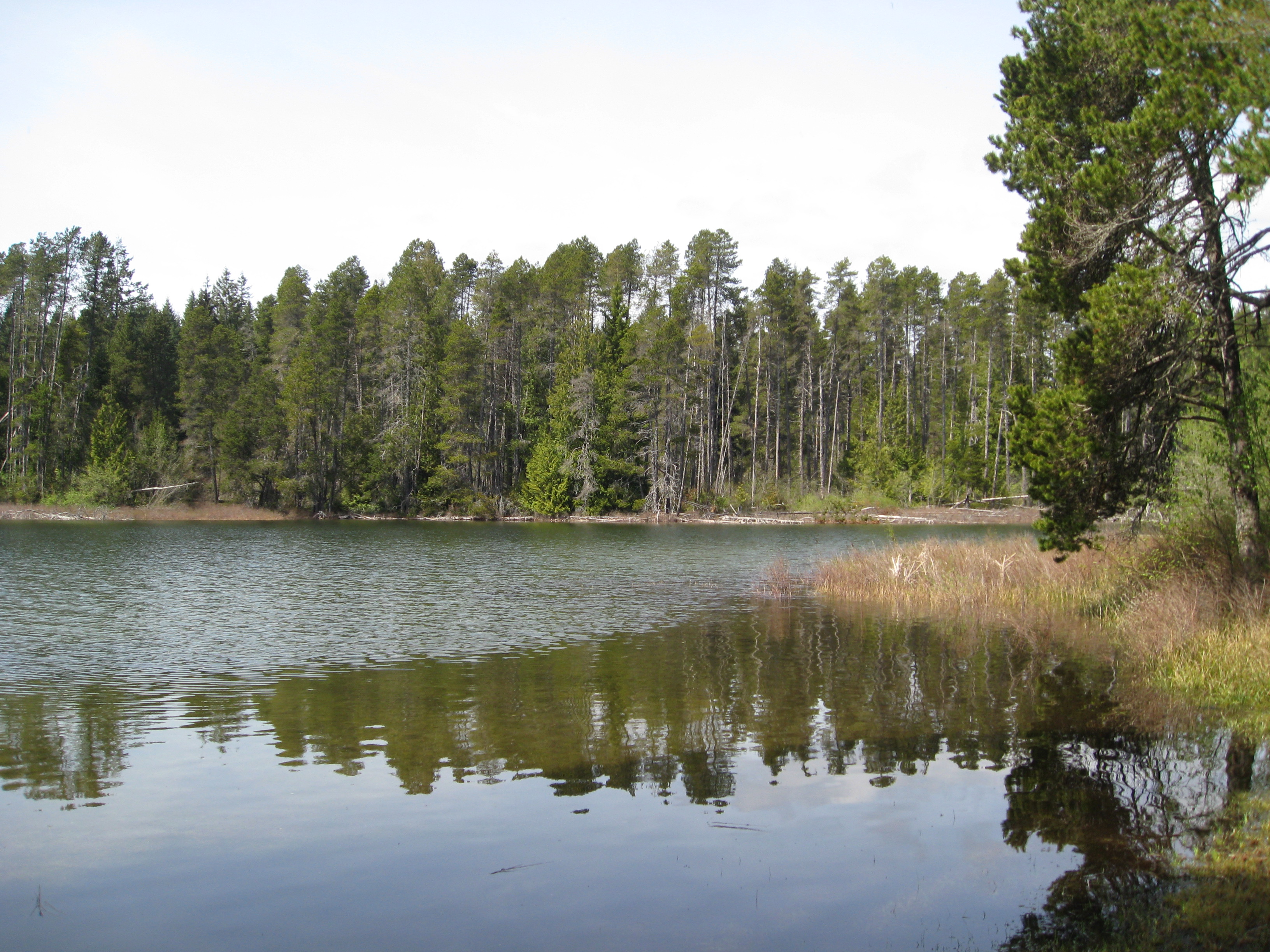
Wetland Woods

Sunrise Beach & Mount Rainier
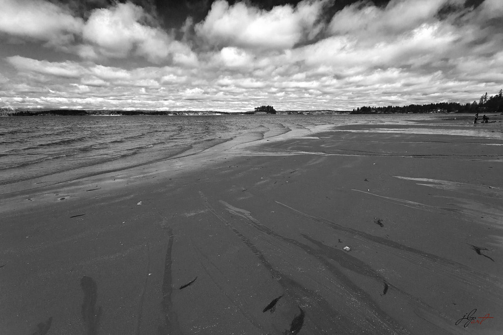
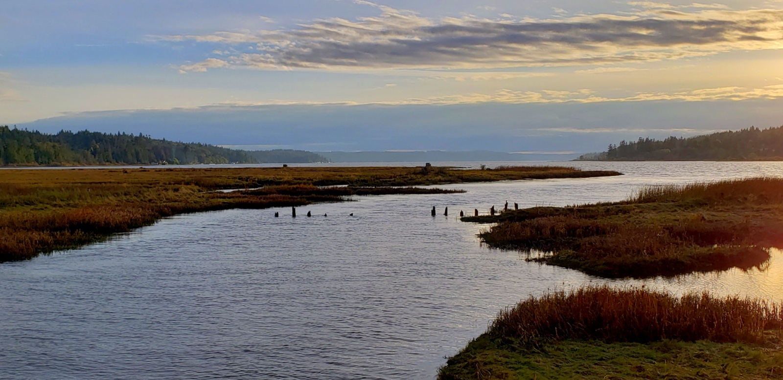
low tide
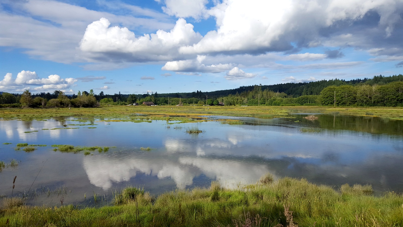
Reclaimed wetland
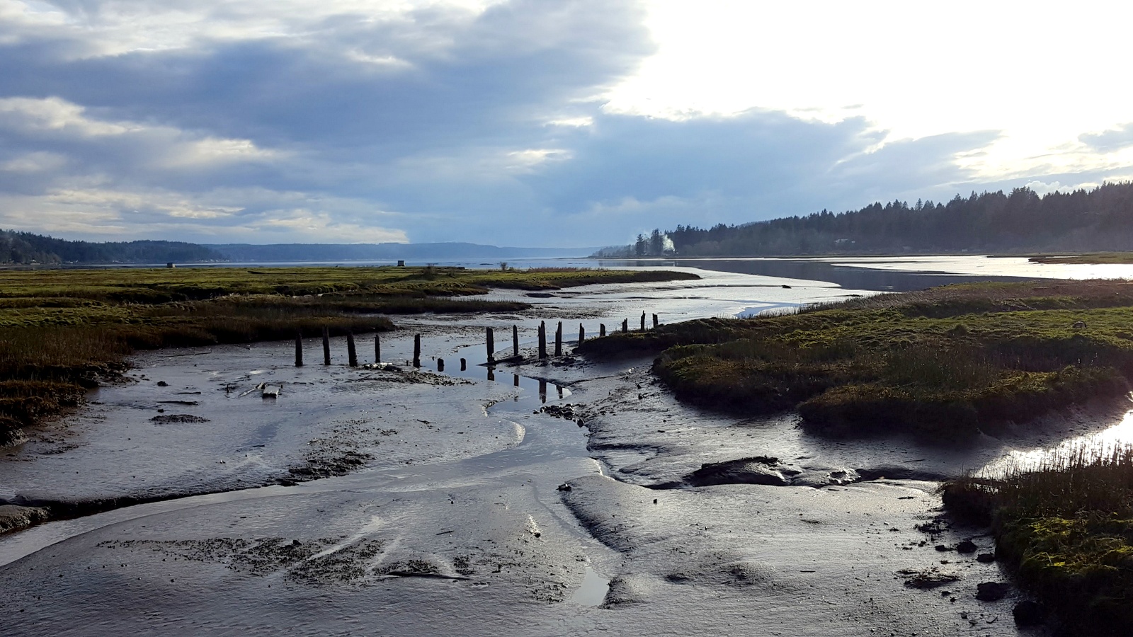
Hood Canal tidal runoff.

Along The Bank (p)

The tides flowing into the Theler Wetlands
Just a retaining wall outside of #starbucks. And some nice #landscaping

The Union River at low tide
This Way!
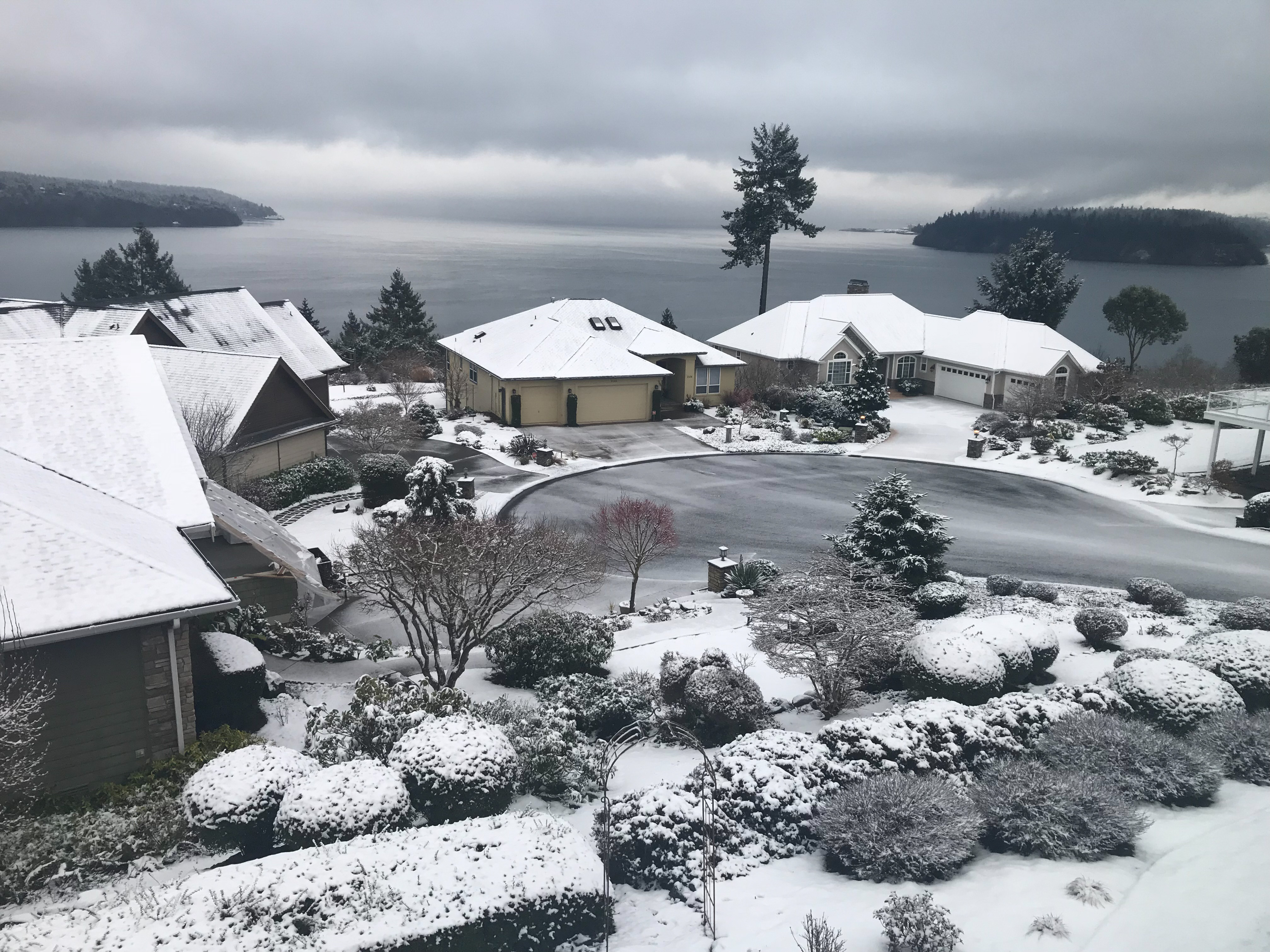
Gig Harbor Christmas

Tree Tops (p)
Kristen + Eric | September 11th 2010

Setting on relaxing times...

iPhoneIMG-413
Orange Glow
Tide Channels of the Hood Canal

Shore Lapping (p)
Topographic Map of th St NW, Gig Harbor, WA, USA
Find elevation by address:

Places near th St NW, Gig Harbor, WA, USA:
13405 137th St Nw
13504 135th Ave Nw
14455 Sw Lyons Ln
11421 141st Ave Nw
11913 Wa-302
13610 118th Ave Nw
12420 121st St Ct Nw
12806 114th Street Court Kp N
14227 Timberwood Pl Sw
10510 Kooley Dr Nw
5067 Sw Wava Ln
11121 122nd Ave Nw
15606 173rd Ave Nw
3983 Sw Huckleberry Rd
12298 Bear Track Ln Sw
3621 Sw Huckleberry Rd
9707 Wright Bliss Rd Kp N
14720 190th Ave Nw
14720 190th Ave Nw
14720 190th Ave Nw
Recent Searches:
- Elevation of Corso Fratelli Cairoli, 35, Macerata MC, Italy
- Elevation of Tallevast Rd, Sarasota, FL, USA
- Elevation of 4th St E, Sonoma, CA, USA
- Elevation of Black Hollow Rd, Pennsdale, PA, USA
- Elevation of Oakland Ave, Williamsport, PA, USA
- Elevation of Pedrógão Grande, Portugal
- Elevation of Klee Dr, Martinsburg, WV, USA
- Elevation of Via Roma, Pieranica CR, Italy
- Elevation of Tavkvetili Mountain, Georgia
- Elevation of Hartfords Bluff Cir, Mt Pleasant, SC, USA