Elevation map of Pierce County, WA, USA
Location: United States > Washington >
Longitude: -122.12952
Latitude: 47.0675877
Elevation: 248m / 814feet
Barometric Pressure: 98KPa
Elevation Map:
Satellite Map:
Related Photos:
You're Beautiful But You're Gonna Slip Away (into the night)
Take Shelter
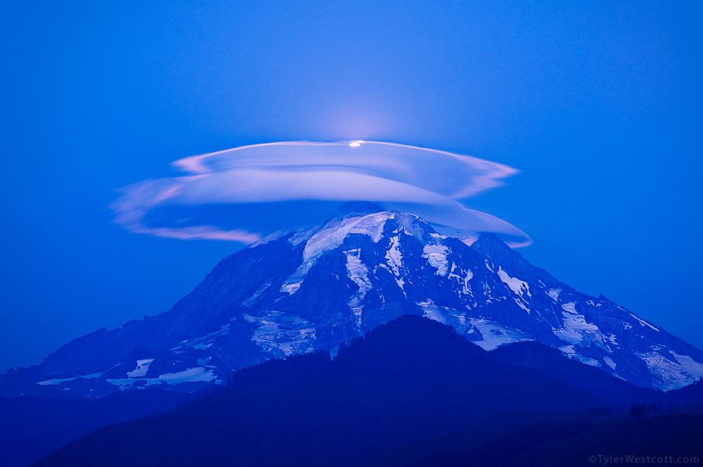
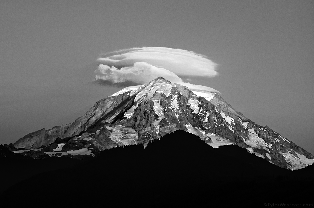
Moonlit Lenticular, Mount Rainier NP
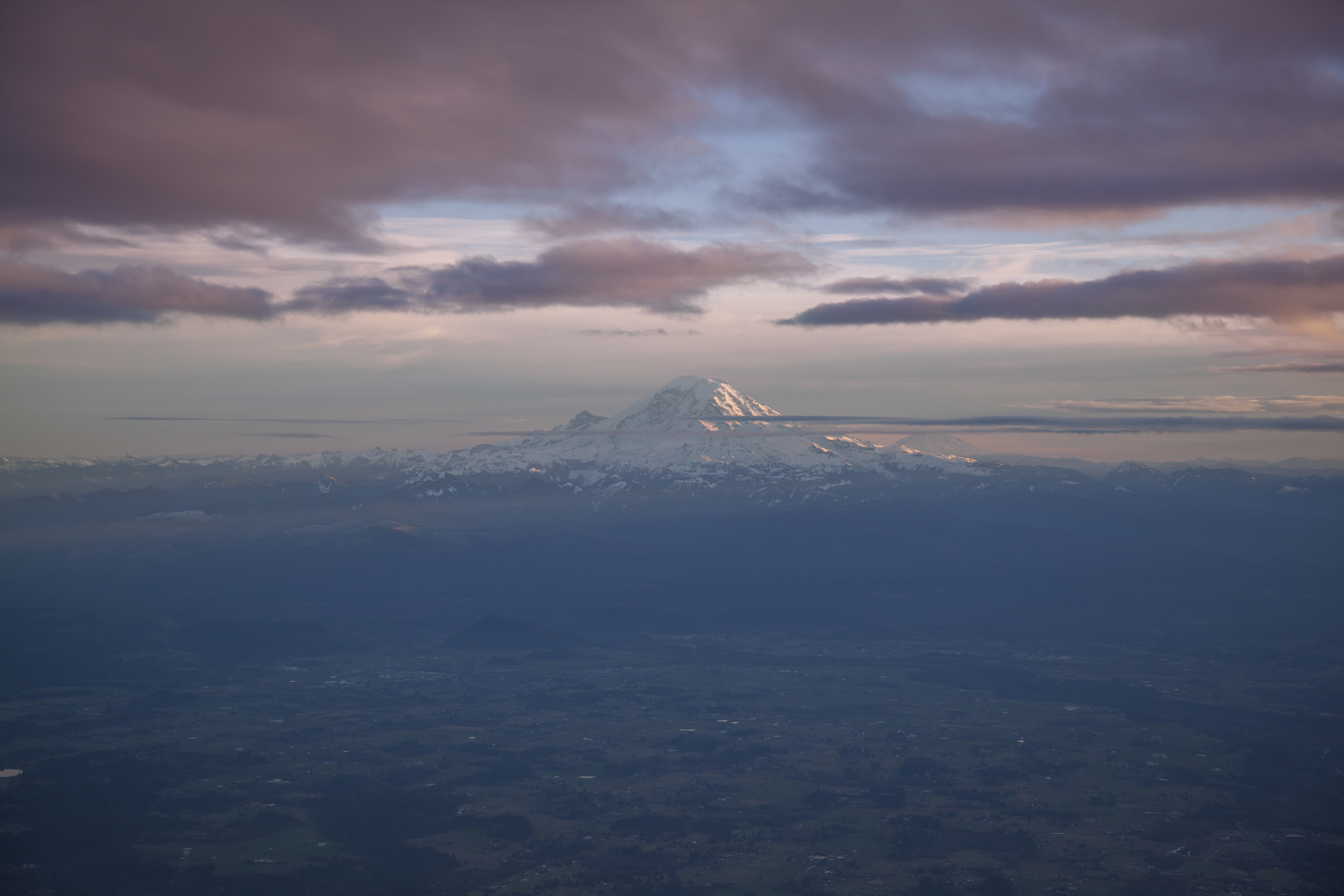
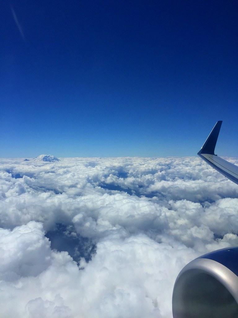
Aerial View of Mt Rainier and Mt Adams, WA
The Pacifc Northwest
Rainier Ultralight

Coffee, Grunge Music, and Stock Images
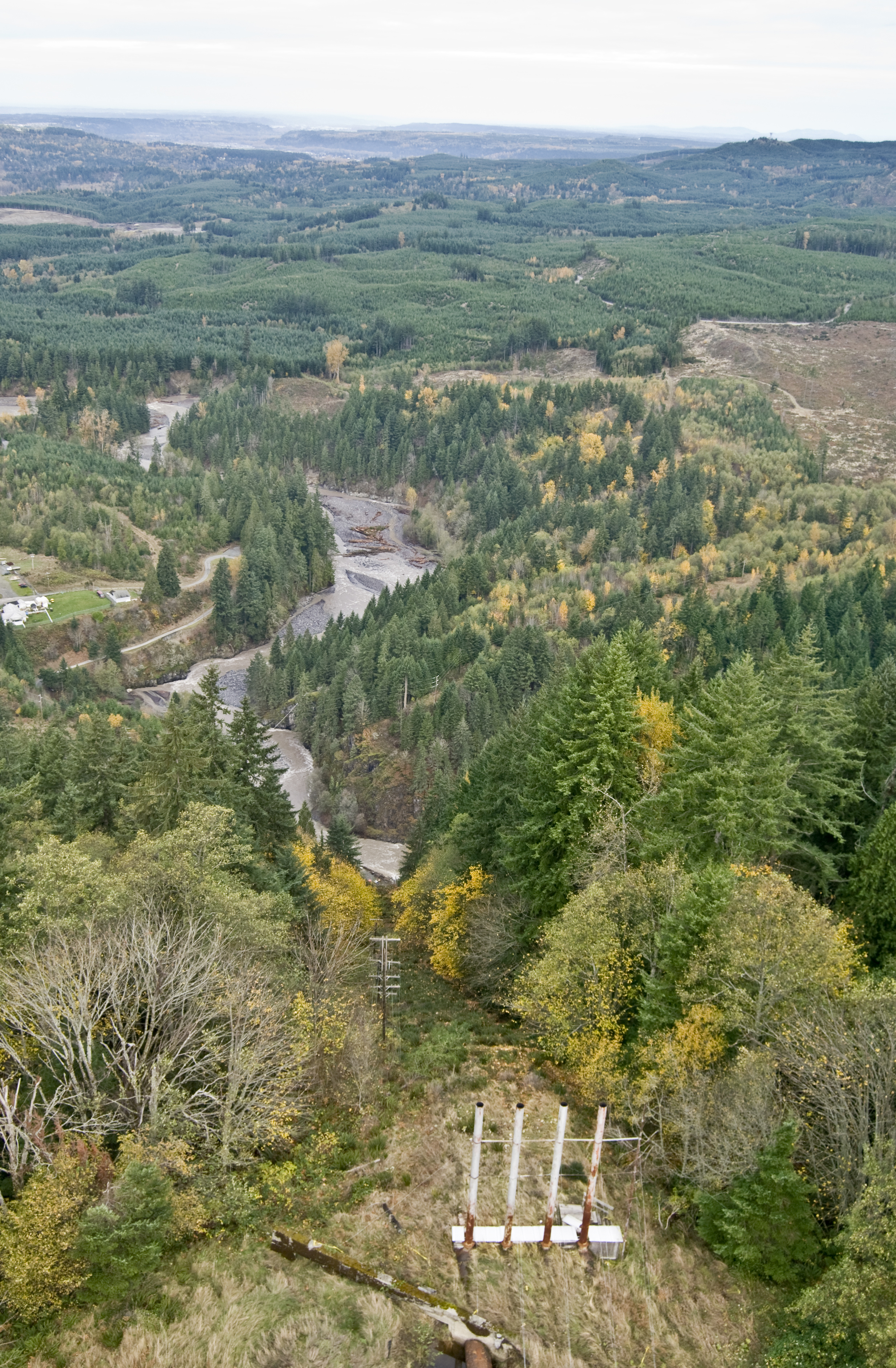
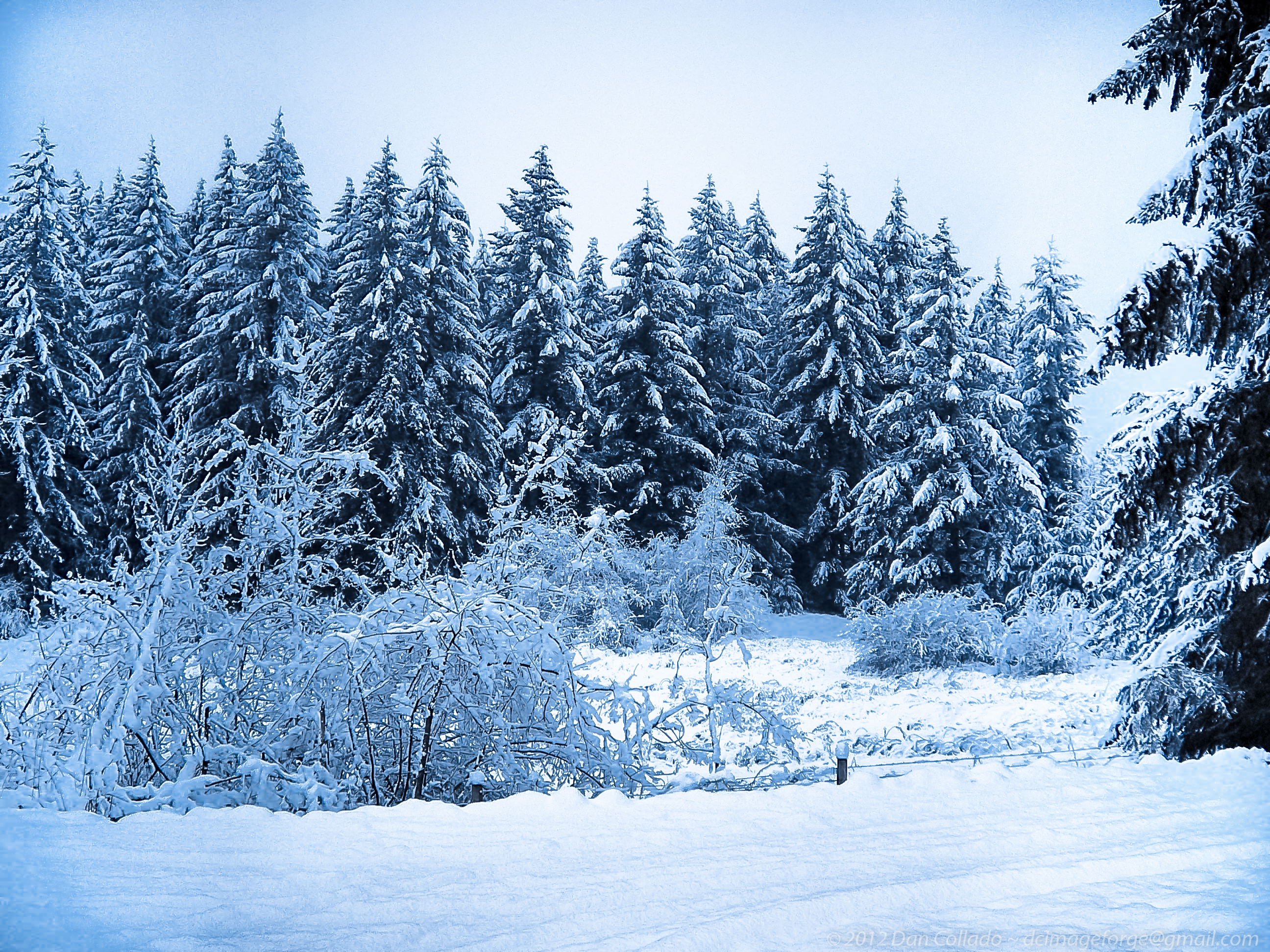
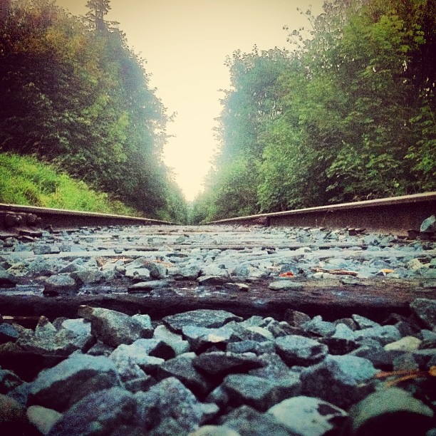
White River
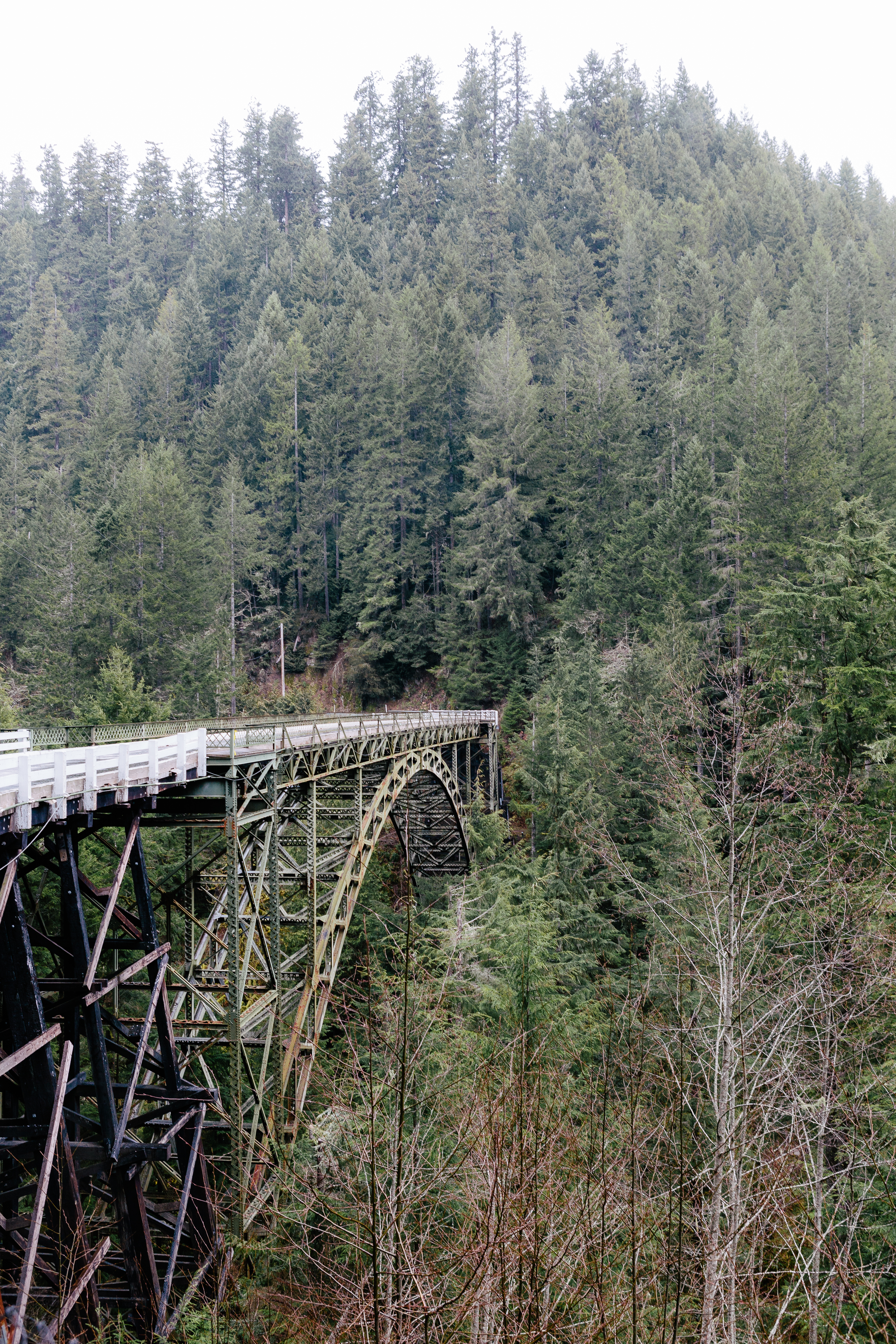
Electron from the Top
The Majestic!
Timing is Everything
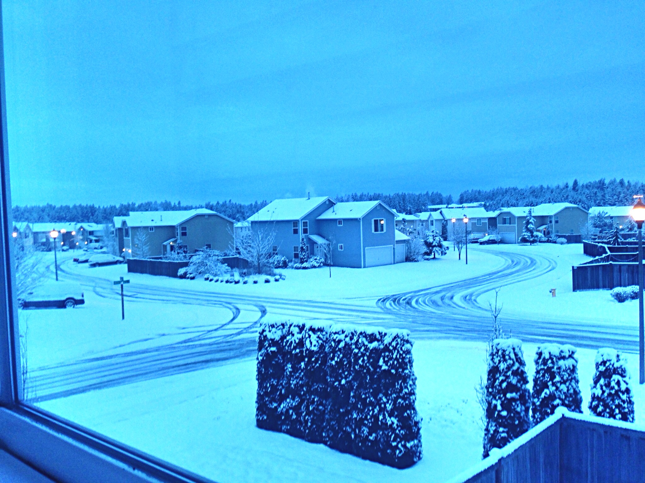
View from parking lot at work.
Striated Lenticular, Mount Rainier National Park

Metal Flowers
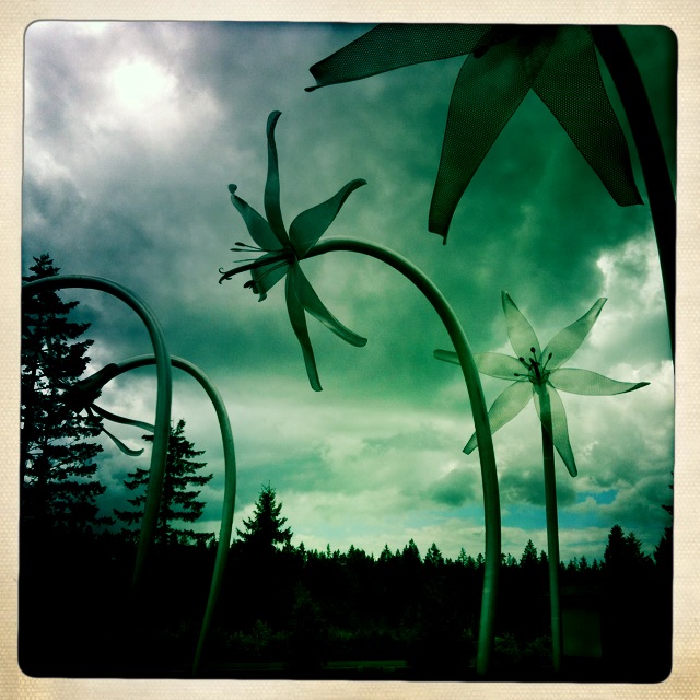
Metal Flowers

Metal Flowers
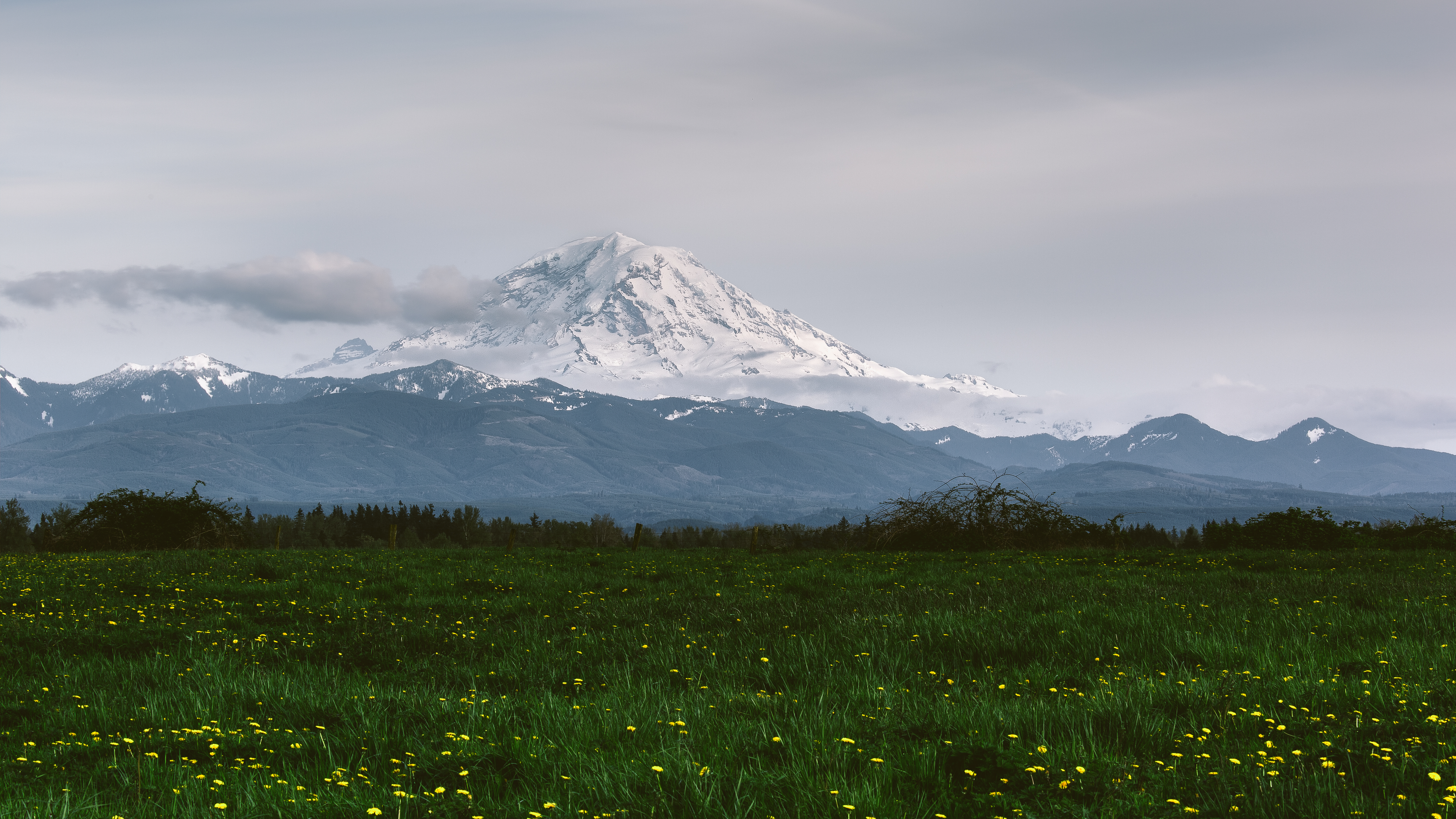
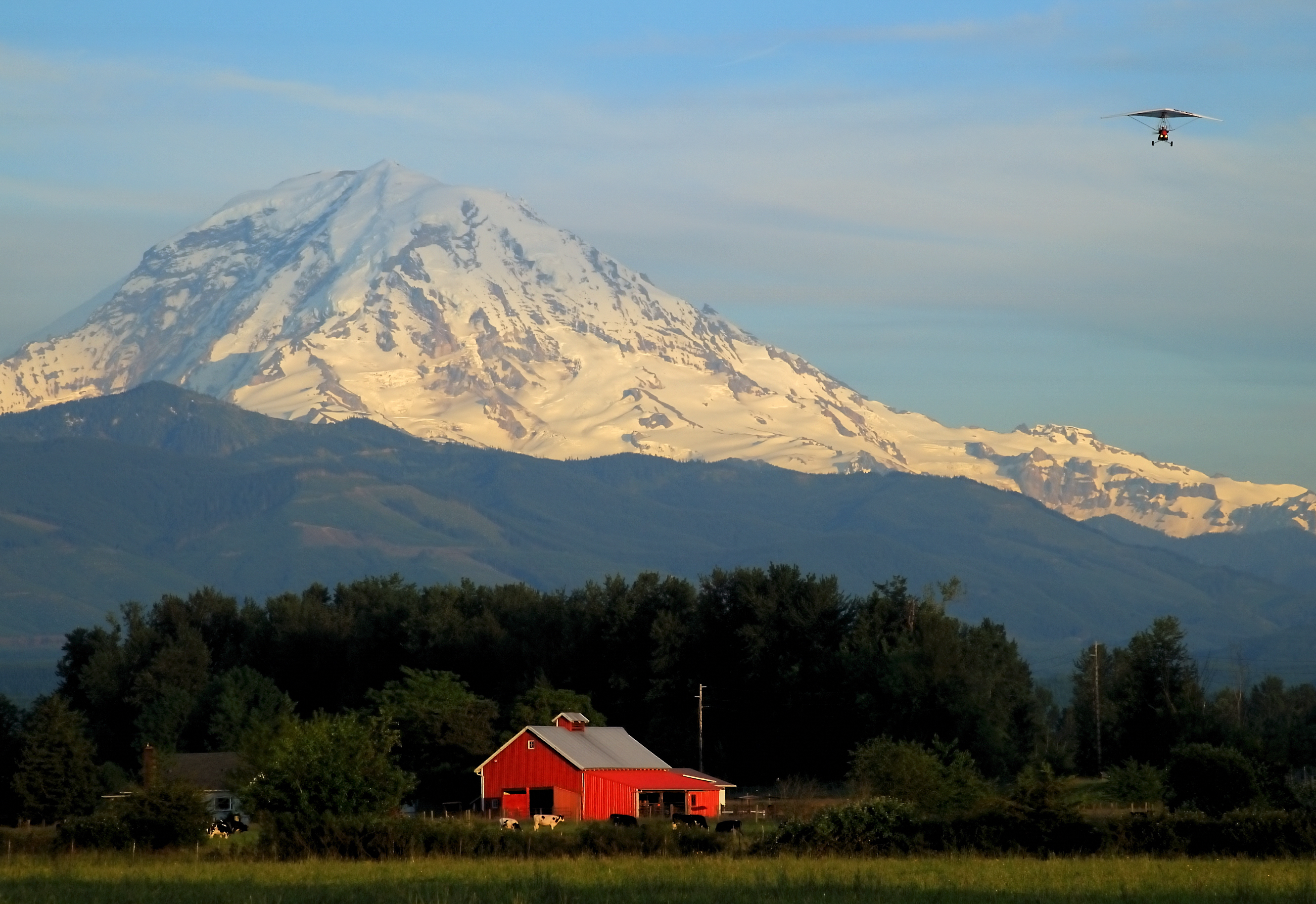
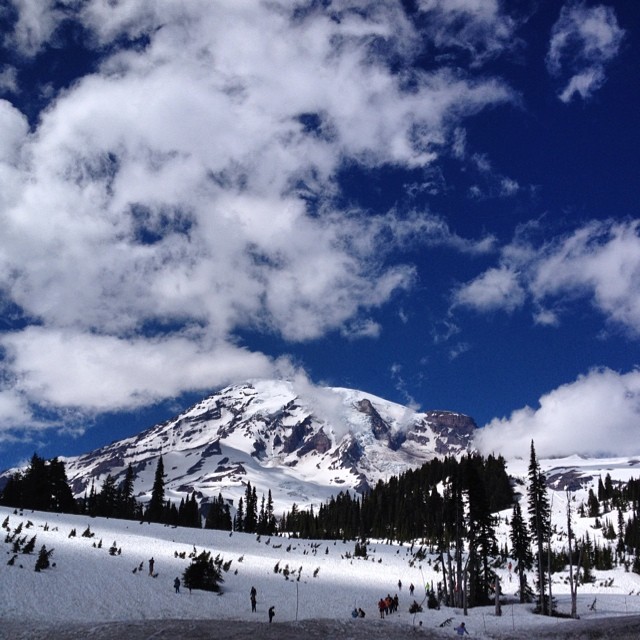
Beautiful view of Mt. Rainier

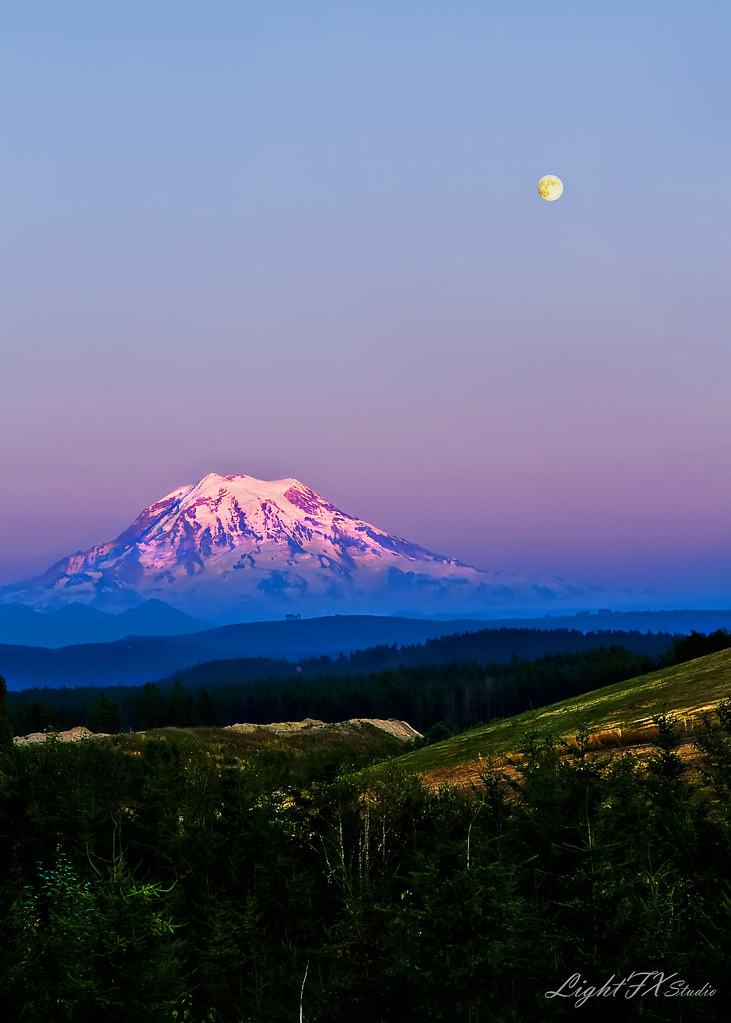
Hello Moon
View from Paradise: I've always believed this to be the most picturesque mountain in the lower 48. #rainier #paradise #wa #nofilter
Peaceful Moonlit Snowy Meadow //
2/9/14
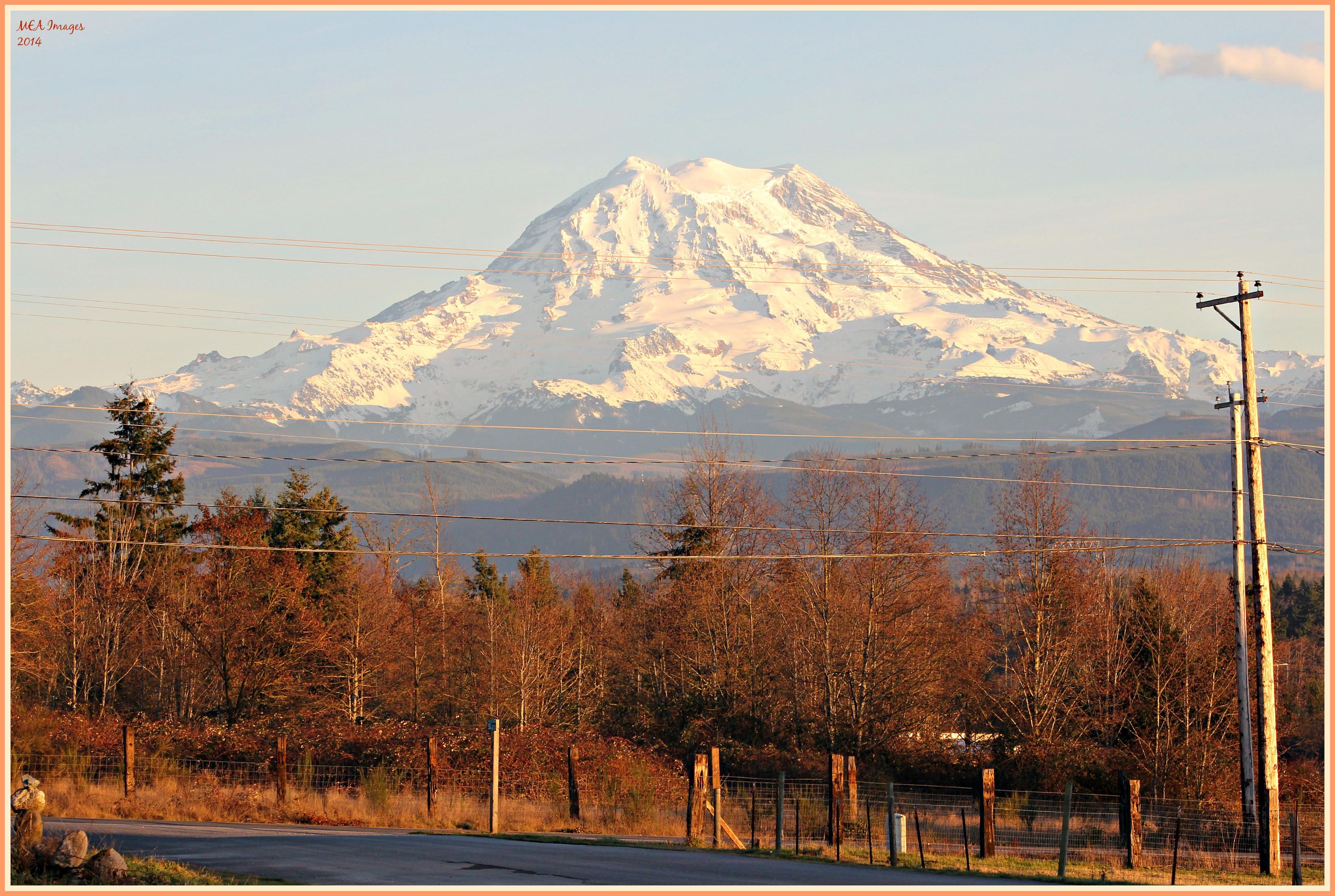
Mt Rainier, in all its glory!
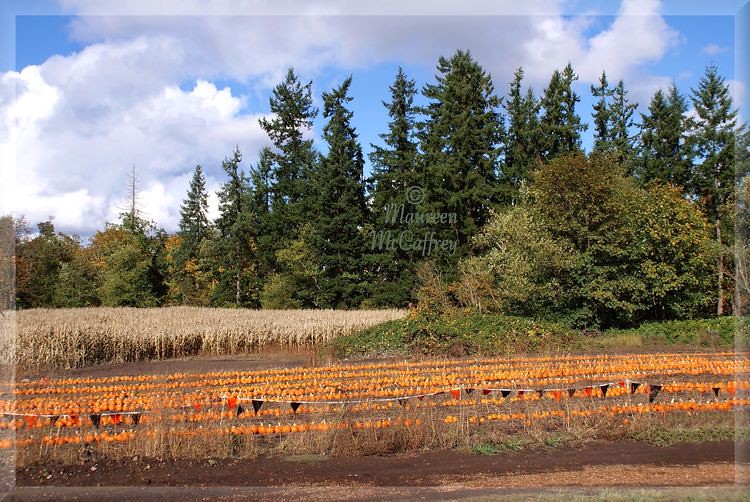
Pumpkin Season

Mt. Rainier from the West
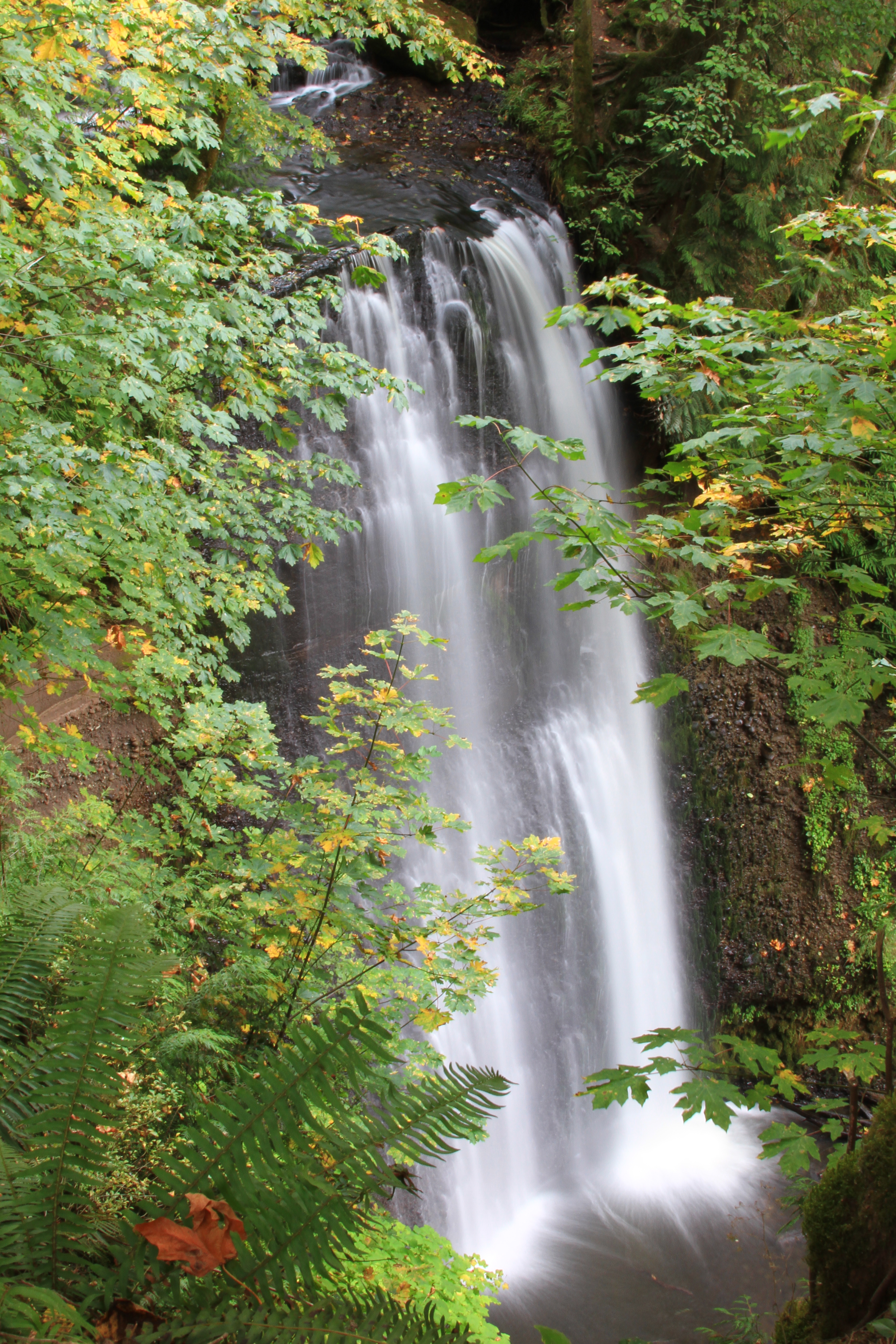
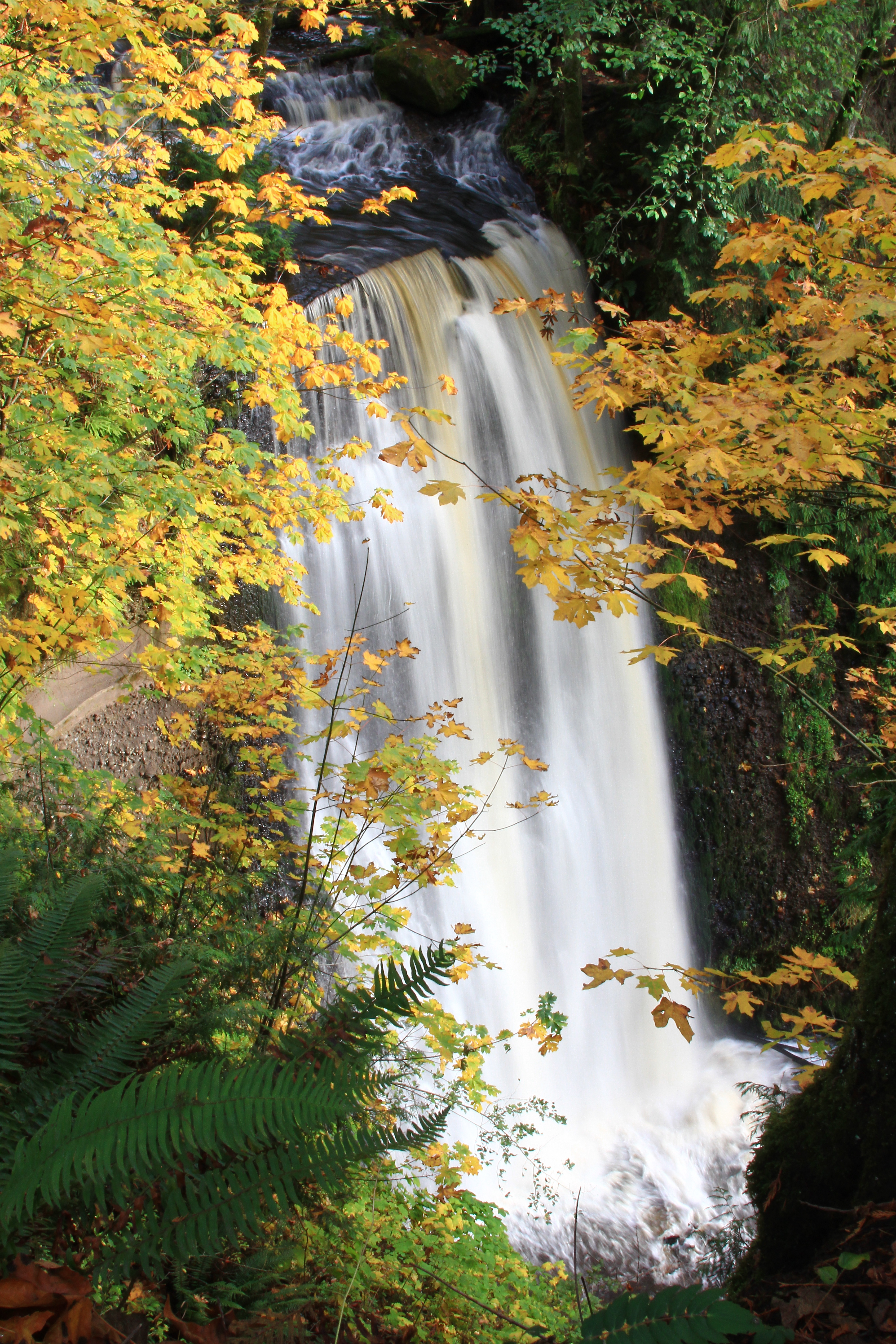
Victor Falls in Autumn

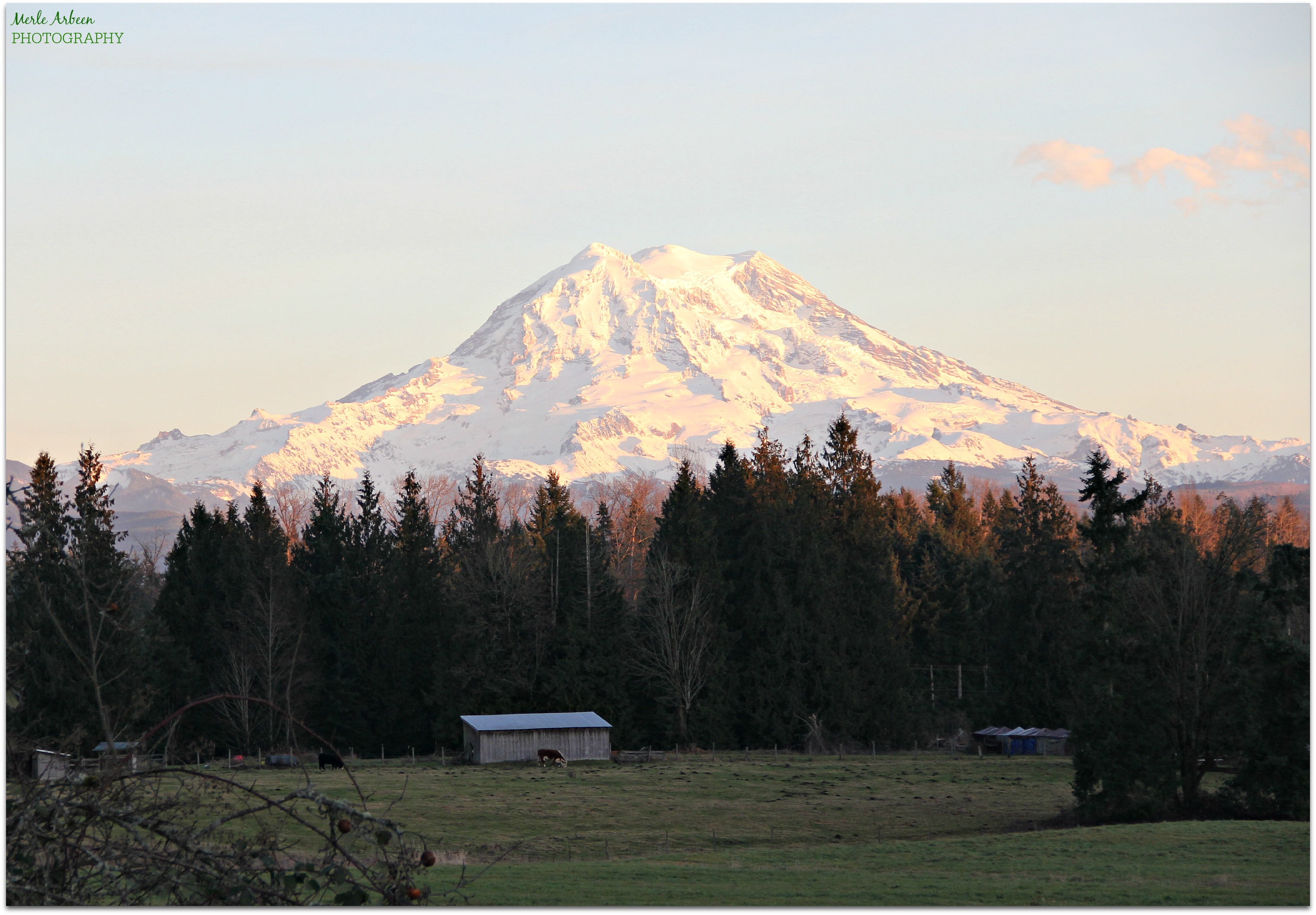
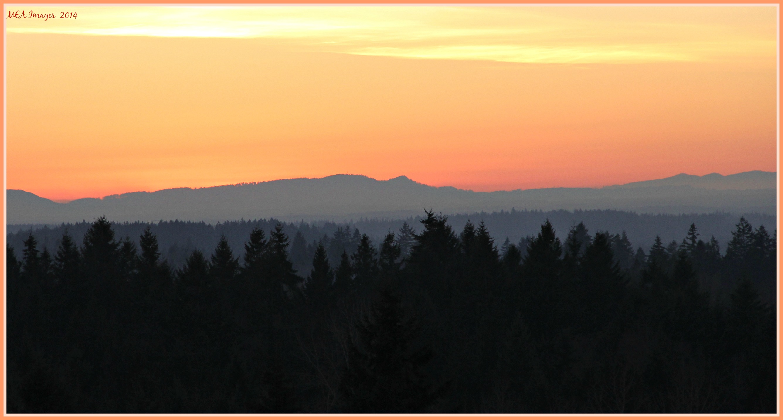
Mt. Rainier at dusk from Ohop
#train #washington #tacoma #Rainier

Mt Rainier

Aspenglow on Rainier
layers at twilight...

Nature At Day's End
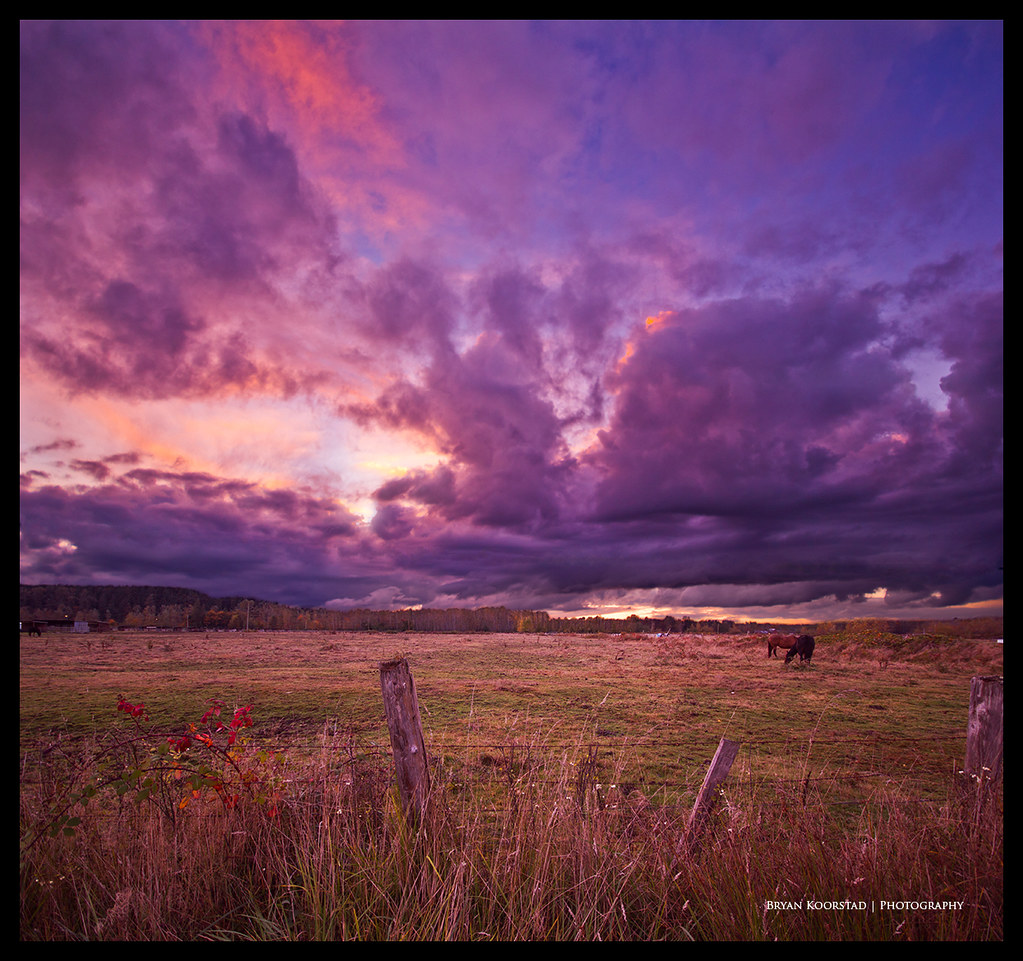
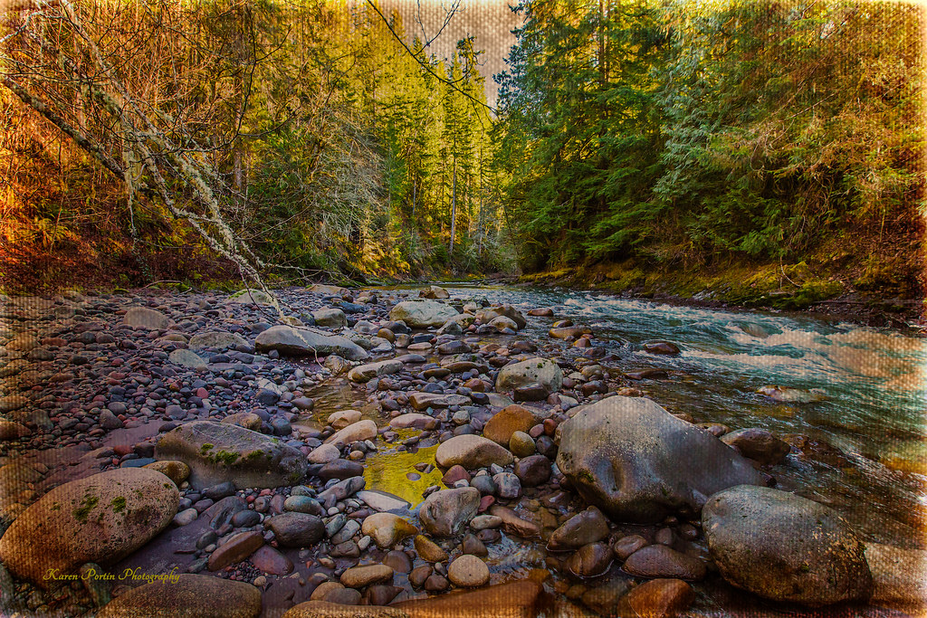
After the Rains

American Monster
Puddle of Gold
Topographic Map of Pierce County, WA, USA
Find elevation by address:

Places in Pierce County, WA, USA:
Tacoma
Enumclaw
Graham
Puyallup
Spanaway
Bonney Lake
Roy
Lakewood
Gig Harbor
Buckley
Sumner
Fife
University Place
Steilacoom
Lake Tapps
Edgewood
Lakebay
Dupont
Fircrest
Orting
Parkland
Carbonado
Joint Base Lewis-mcchord
Anderson Island
24 W Shore Ct, Steilacoom, WA, USA
Joint Base Lewis-mcchord
Joint Base Lewis-mcchord
Joint Base Lewis-mcchord
Joint Base Lewis-mcchord
Joint Base Lewis-mcchord
Joint Base Lewis-mcchord
th Ave, Anderson Island, WA, USA
th Ave E, Sumner, WA, USA
Columbia Creek Dr E, Graham, WA, USA
th St E, Graham, WA, USA
Elbe
Sunrise
Longmire
Paradise
Mcmillin
Ruston
Prairie Ridge
South Hill
Martin Peak
Greenwater
La Grande
Longbranch
Alderton
Places near Pierce County, WA, USA:
18409 229th Ave E
17011 226th Ave E
20026 195th Ave E
19124 205th St E
19005 Voight Meadows Rd E
Carbonado
Orting
1557 Greenbriar Ln
19420 162nd Ave E
813 Sigafoos Ave Nw
15801 269th St E
22908 146th Ave E
14305 216th St E
15203 264th St E
20106 Orting Kapowsin Hwy E
20320 Orting Kapowsin Hwy E
13515 214th St E
13615 165th St Ct E
14015 259th St Ct E
Lake Kapowsin
Recent Searches:
- Elevation of Corso Fratelli Cairoli, 35, Macerata MC, Italy
- Elevation of Tallevast Rd, Sarasota, FL, USA
- Elevation of 4th St E, Sonoma, CA, USA
- Elevation of Black Hollow Rd, Pennsdale, PA, USA
- Elevation of Oakland Ave, Williamsport, PA, USA
- Elevation of Pedrógão Grande, Portugal
- Elevation of Klee Dr, Martinsburg, WV, USA
- Elevation of Via Roma, Pieranica CR, Italy
- Elevation of Tavkvetili Mountain, Georgia
- Elevation of Hartfords Bluff Cir, Mt Pleasant, SC, USA