Elevation of WA-3, Belfair, WA, USA
Location: United States > Washington > Mason County > Belfair >
Longitude: -122.82833
Latitude: 47.4482461
Elevation: 17m / 56feet
Barometric Pressure: 101KPa
Elevation Map:
Satellite Map:
Related Photos:

Living Room Viewing

Sky View 2017 04 02 06
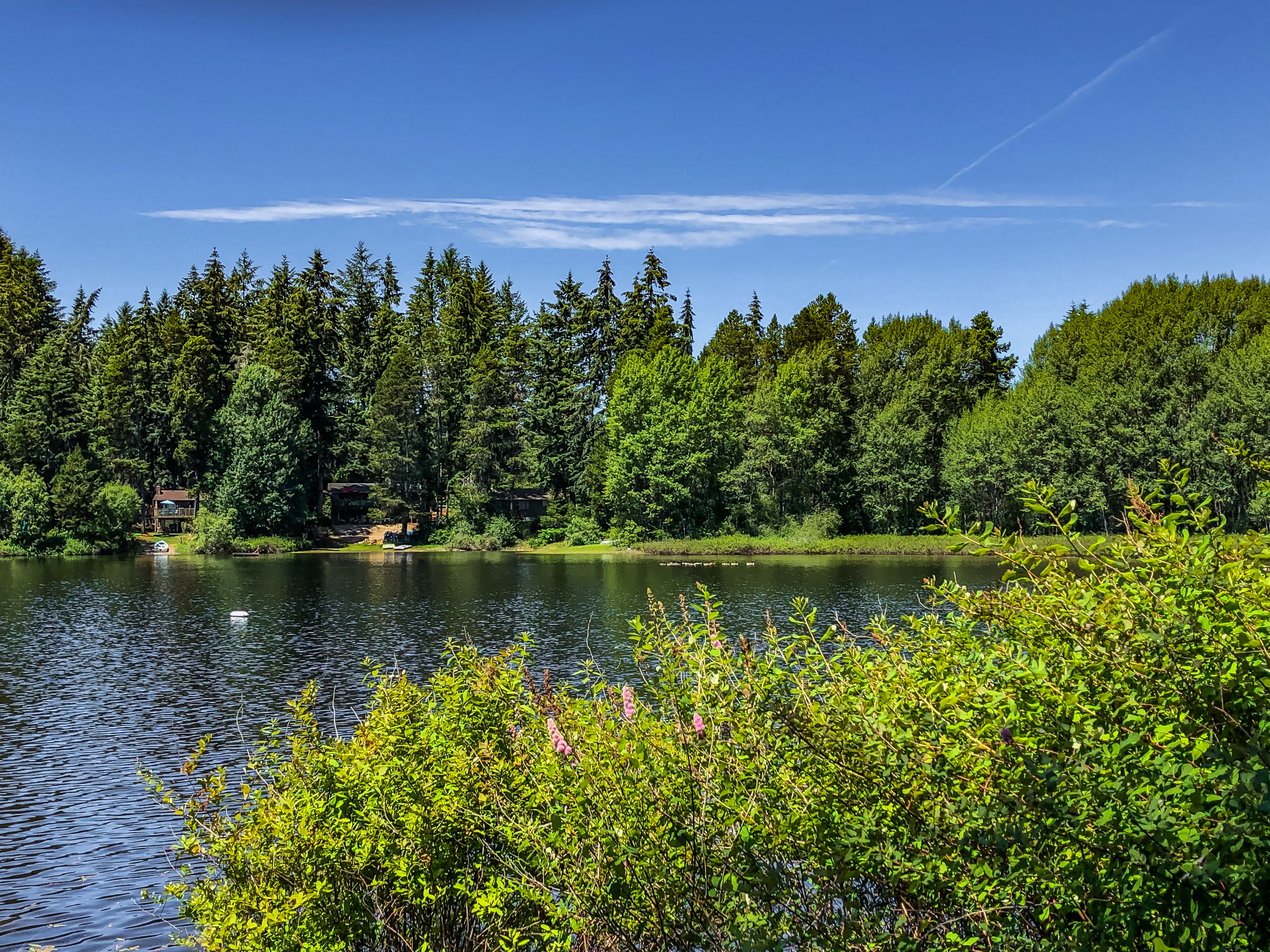
Lake View 2020 06 26 01

Sky View 2020 04 19 01

Panther Lake

Sky View 2017 04 01 01

Lake View 2017 04 02 02

Frogs Eye View

Lake View 2017 04 08 01

Panther Lake Sunset

Another view of my deepest trail

Lake View 2017 04 02 01

Ducks Eye View of the Wetland

Passed Over 2016 06 09 01

Sky View 2017 04 02 07

Sky View 2017 04 01 09
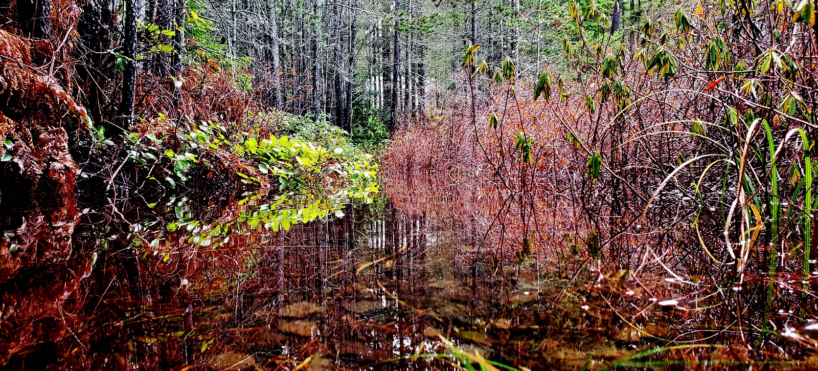
Ducks Eye View

Sky View 2017 04 02 08

Sky View 2016 06 09 01

A New Angle

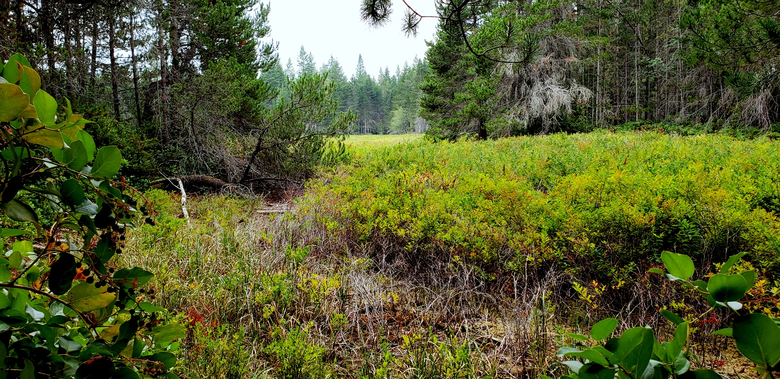
Wetland Trail

Wetland Blizzard

The Glacier is Melting

The Last Big Rain Storm

Reclaimed wetland at Theler Wetlands park

Looking Up the Hood Canal

The Lake is down to Puddles

The Union River

Icy Wetland

The Trail to The Lake

The Trail to the Lake

The Trail to the Wetland"

Nikon D7000 Sunset Tokina 11-16mm Wide Angle

Snow and Ice from February

An arm of the Union River

Tenacious Snow

Hood Canal and It's Tides
Dry Lake

Looking Up The Hood Canal

Vanishing shadows...

The Peninsula Trail to the Lake
Topographic Map of WA-3, Belfair, WA, USA
Find elevation by address:

Places near WA-3, Belfair, WA, USA:
Belfair
WA-, Belfair, WA, USA
320 Ne Schooner Loop
320 Ne Schooner Loop
180 Larson Lake Ln
74 E Rasor Rd
23 E Alderwood Rd
21 E Thunderhead Dr
731 E Alderwood Rd
670 E Alderwood Rd
200 Ne Mission Creek Rd
201 E Toni Smith Ln
Belfair State Park
60 Ne Lynnwood Loop
5 Hippie Hill
5 Hippie Hill
111 Ne Boad Haven Rd
Belfair, WA, USA
Allyn
14720 190th Ave Nw
Recent Searches:
- Elevation of Corso Fratelli Cairoli, 35, Macerata MC, Italy
- Elevation of Tallevast Rd, Sarasota, FL, USA
- Elevation of 4th St E, Sonoma, CA, USA
- Elevation of Black Hollow Rd, Pennsdale, PA, USA
- Elevation of Oakland Ave, Williamsport, PA, USA
- Elevation of Pedrógão Grande, Portugal
- Elevation of Klee Dr, Martinsburg, WV, USA
- Elevation of Via Roma, Pieranica CR, Italy
- Elevation of Tavkvetili Mountain, Georgia
- Elevation of Hartfords Bluff Cir, Mt Pleasant, SC, USA