Elevation of Taksindu Resort, Takasindu, Nepal

Location: Nepal > Eastern Region > Sagarmatha > Takasindu >

Longitude: 86.6225587

Latitude: 27.5941835

Elevation: 2903m / 9524feet

Barometric Pressure: 71KPa

Elevation Map:

elevation map of Taksindu Resort, Takasindu, Nepal

Satellite Map:

Satellite map of Taksindu Resort, Takasindu, Nepal

Related Photos:

asia himalayas lukla nepal airstrip film negative trek
The World's Most Dangerous Airport
nepal mountains airport flickr hillary kathmandu np portfolio showcase himalayas lukla tenzing tfttf tfp tipsfromthetopfloor kumbu chrismarquardt topfloorproductions everesttrek2009
Lukla Airport
above travel nepal light camp sky cloud sunlight mountain mountains castle clouds sunrise trekking trek canon landscape dawn high asia view altitude peak himalaya rowan eos30 tuli himalayas mera highquality adventuretravel kharka 2nepal0322 lpsurprise tamron28105mmf456if fujiprovia100fslidefilm nepalfinal nikon2nepal0322nosienatural
Sunrise at Tuli Kharka Camp, Mera Peak
3d anaglyph cool airport best world nepal landing pilot lukla luklanepalairport plane jet himalya frankboston cc creativecommons owasso oklahoma most today bostonsphotos thefixer fixer11 sharealike attribute commercial use norightsreserved owassoisms nikon public publicuse free freeuse
Tenzig-Hillary Airport 3D Anaglyph
lukla himalaya nepal नेपाल giåm guillaumebavière
2018-03-25
nepal trek geotagged airport lukla solukhumbu sagamartha geo:lat=2769029751629884 geo:lon=8672836566233865
Nepal - Sagamartha Trek - 002 - Lukla Airport
lukla himalaya nepal नेपाल giåm guillaumebavière
2018-03-25
nepal trek geotagged lukla solukhumbu sagamartha geo:lat=2769029751629884 geo:lon=8672836566233865
Nepal - Sagamartha Trek - 003 - First trek view
nepal mountains trek montains ebc amadablam
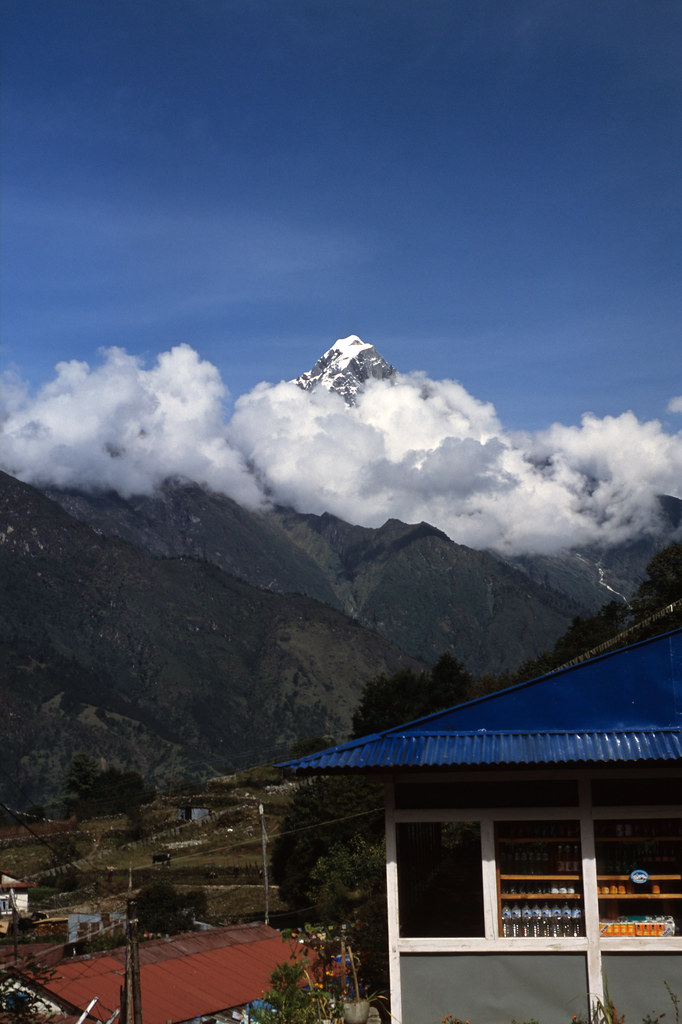
First view of Everest from Phurteng
nepal pass velvia chorten easternregion chaurikharka
Chorten view
trek helicopter khumbu himalayas lukla islandpeak2010
Chopper to Lukla
square squareformat iphoneography instagramapp uploaded:by=instagram foursquare:venue=4da56229f7b16ce044a2771d
View to remember #merapeak #nepal #tehase
nepal mountains trekking everest sagarmatha
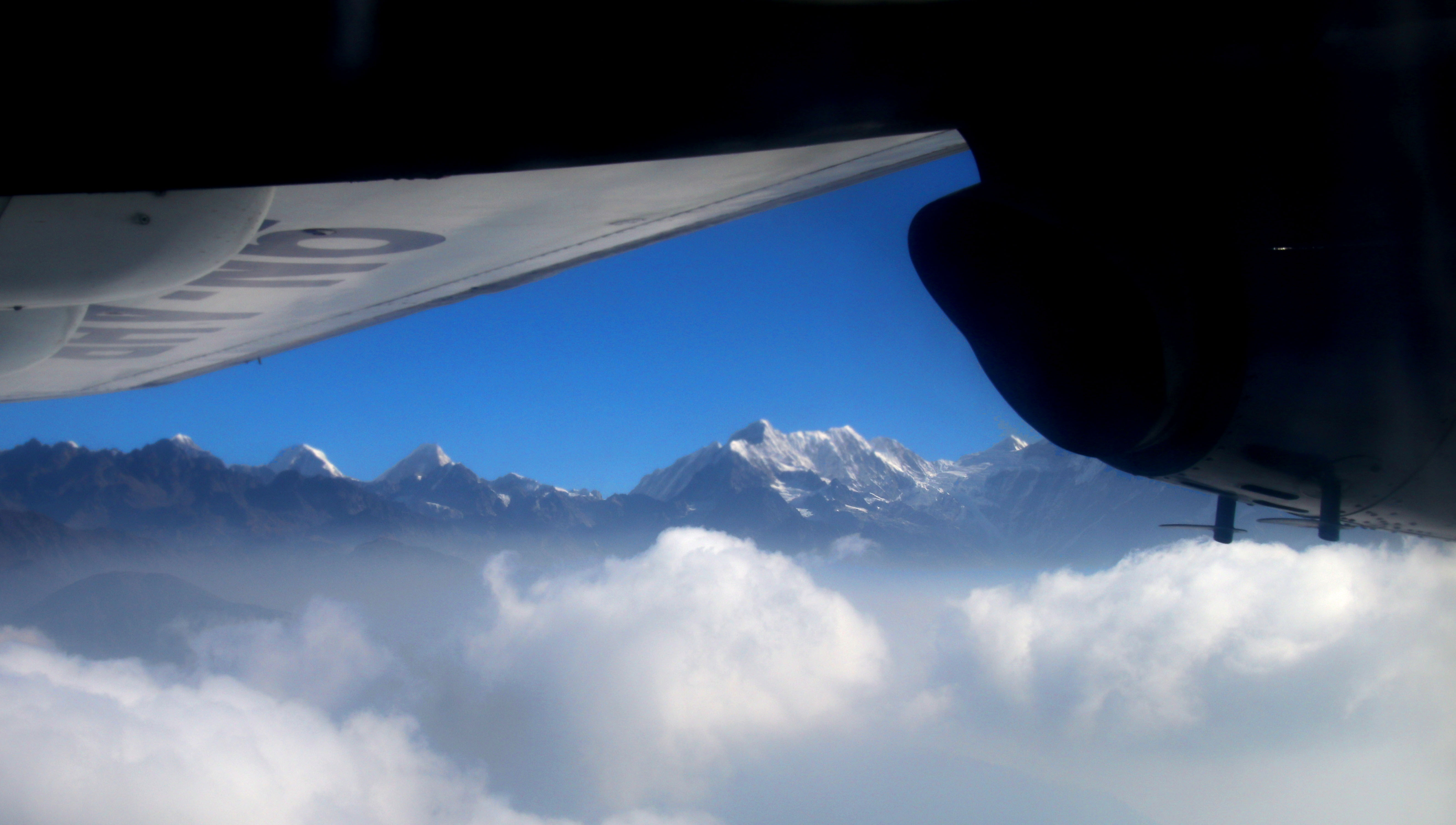
First views of Himalaya on the way to Lukla
nepal kathmandu np lukla tfttf tfp jonmiller tipsfromthetopfloor chrismarquardt topfloorproductions restofeverest everesttrek2009
The Rest of Have-A-Rest
mera merapeak eightthousanders nepal himalayas mountainscape snow trekking mountaineering adventure alone wanderlust outdoor nikon 1855 hiking camping asia kothey kharey thagnak thaknak chhetrala merala expedition
View from Mera Peak summit (6476m)
Landing at Lukla
lukla himalaya nepal नेपाल giåm guillaumebavière
2018-03-25
lukla nepal himalaya himalayas mera peak trek climb rowan castle tamron28105mmf456if nepalfinal nikon1nepal0306nosienatural fujiprovia100fslidefilm
Mountain views, across the valley from Lukla, Nepal
montagnes nepal préci panoramapanoramique phaplu solukhumbu
Mountain view
lukla himalaya nepal नेपाल giåm guillaumebavière
2018-03-25
fujiprovia100fslidefilm nepalfinal nikon1nepal0302nosienatural
The View from Our Lodge, Lukla, Nepal
trip travel nepal people mountains tourism rio ruta trekking trek river puente town asia camino altitude pueblo tourist hike personas adventure route trail monastery mountaineering caminar elcamino nepalese himalaya alpinismo towns monasterio himalayas brigde montañas phakding aventura mounteverest theway alpinism puentecolgante aldea montañismo sagarmatha milkriver khumbuvalley altitud acclimatization nepalí suspensionbrige thehimalayas aclimatación monteeverest touraroundtheworld sagarmathazone solukhumbudistrict rimishungmonastery khumbuarea zonadesagarmatha routetoeverestbasecamp regióndekhumbu riodeleche dudhkoshinadi rutaalcampobasedeleverest
and the way began... - y el camino comenzó...
aviation luftfahrt flying plane flugzeug aircraft shadow nepal lukla airport himalaya runway mountain danger berg gebirge dhc6 twin otter tara air green flugplatz elevation 9nakl adventure landscape steep steil startbahn dach der welt reisen travel
Downhill take off
everest base camp trek lukla airport mountain plane airplane light commercial aircraft ebc sagarmatha national park nepal trekking walking sky cloud sony a7 2870mm
Lukla Aiport
nepal sunlight snow mountains film trek village negative himalayas airstrip
The Trek Draws to an End
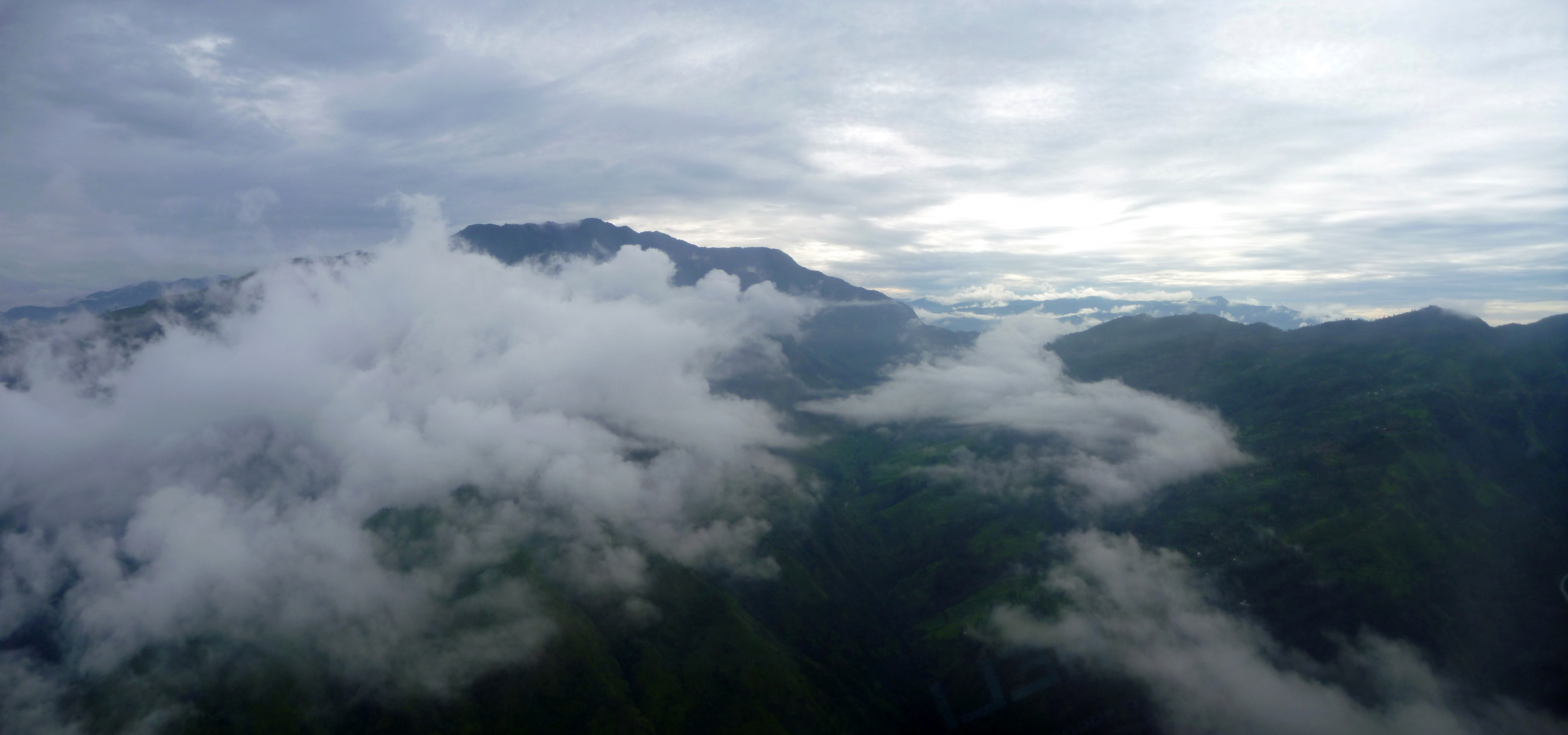
Unusual cloud, Khumbu, Nepal
nepal trek geotagged airport lukla solukhumbu sagamartha geo:lat=2769029751629884 geo:lon=8672836566233865
Nepal - Sagamartha Trek - 001 - Lukla Airport
nepal airport airstrip lukla npl purwanchal
Lukla airport
nepal airport airstrip lukla npl purwanchal
Lukla airport
amadablam backpacking everest everestbasecamp hiking himalayas landscape lobuche mountain namchebazaar nature nepal outdoor outdoors travel trekking
Himalayan Village
around Everest
Trek Mera Peak - jour 2 - Chutanga, jour d'acclimatation, avec une courte montée sur un beau point de vue
nepal lukla tenzinghillaryairport
Tenzing-Hillary Airport
nepal mountain plane airstrip lukla
D25 19:02:82
nepal mountain film airstrip lukla
D23 19:02:82
asia himalayas everestregion mountains film analog pentaxp30t highlands clouds winter travel sunny cloudy countryside nature landscape
The Path
On the way to Namche Bazar