Elevation of Tenzing-Hillary Airport, Chaurikharka V.D.C., Nepal
Location: Nepal > Eastern Region > Sagarmatha > Chaurikharka > Lukla >
Longitude: 86.7313836
Latitude: 27.687778
Elevation: 2852m / 9357feet
Barometric Pressure: 71KPa
Elevation Map:
Satellite Map:
Related Photos:

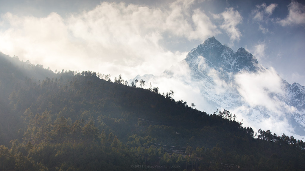
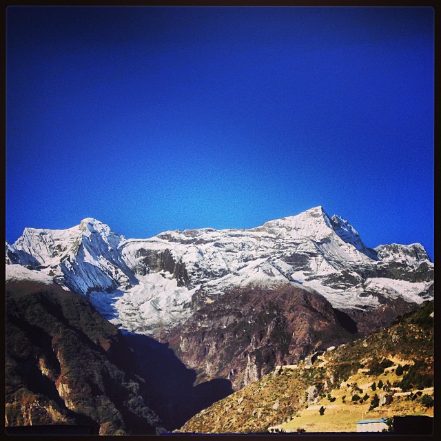
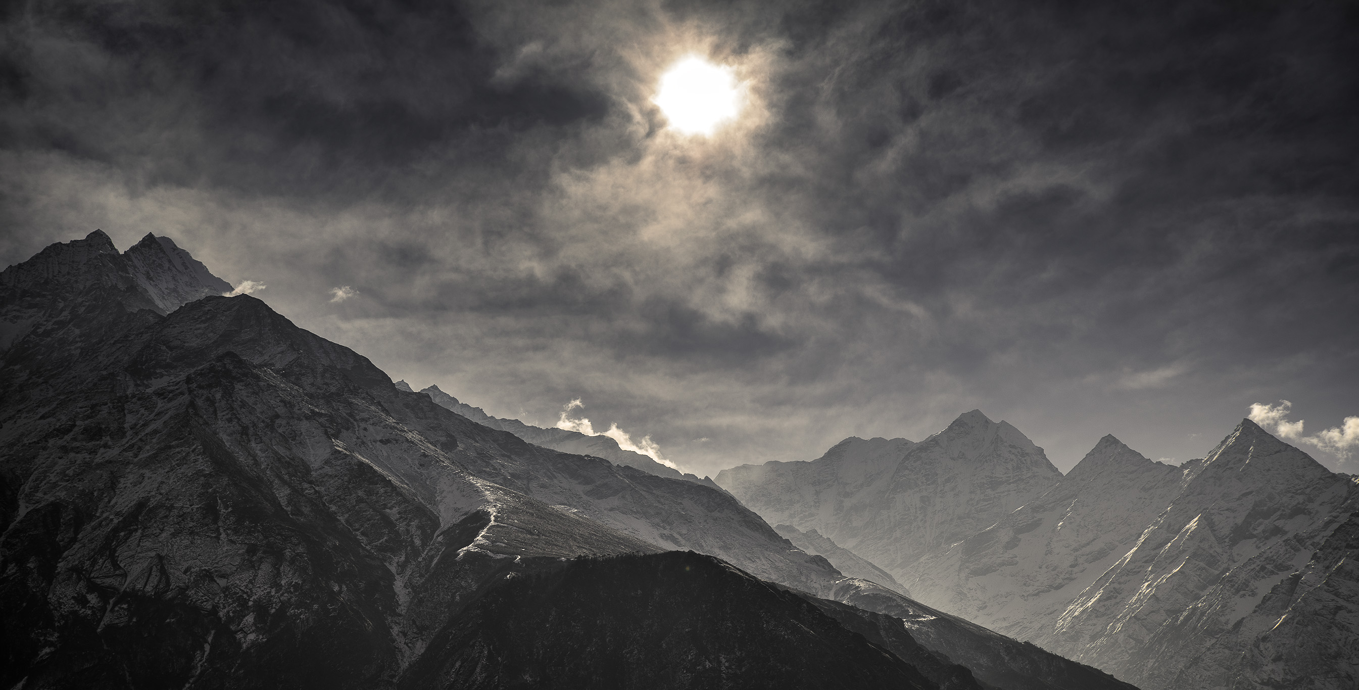
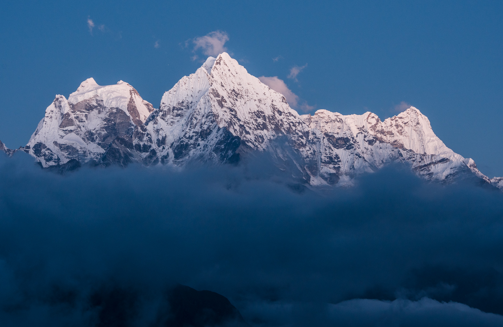
The Everest Range of Mountains
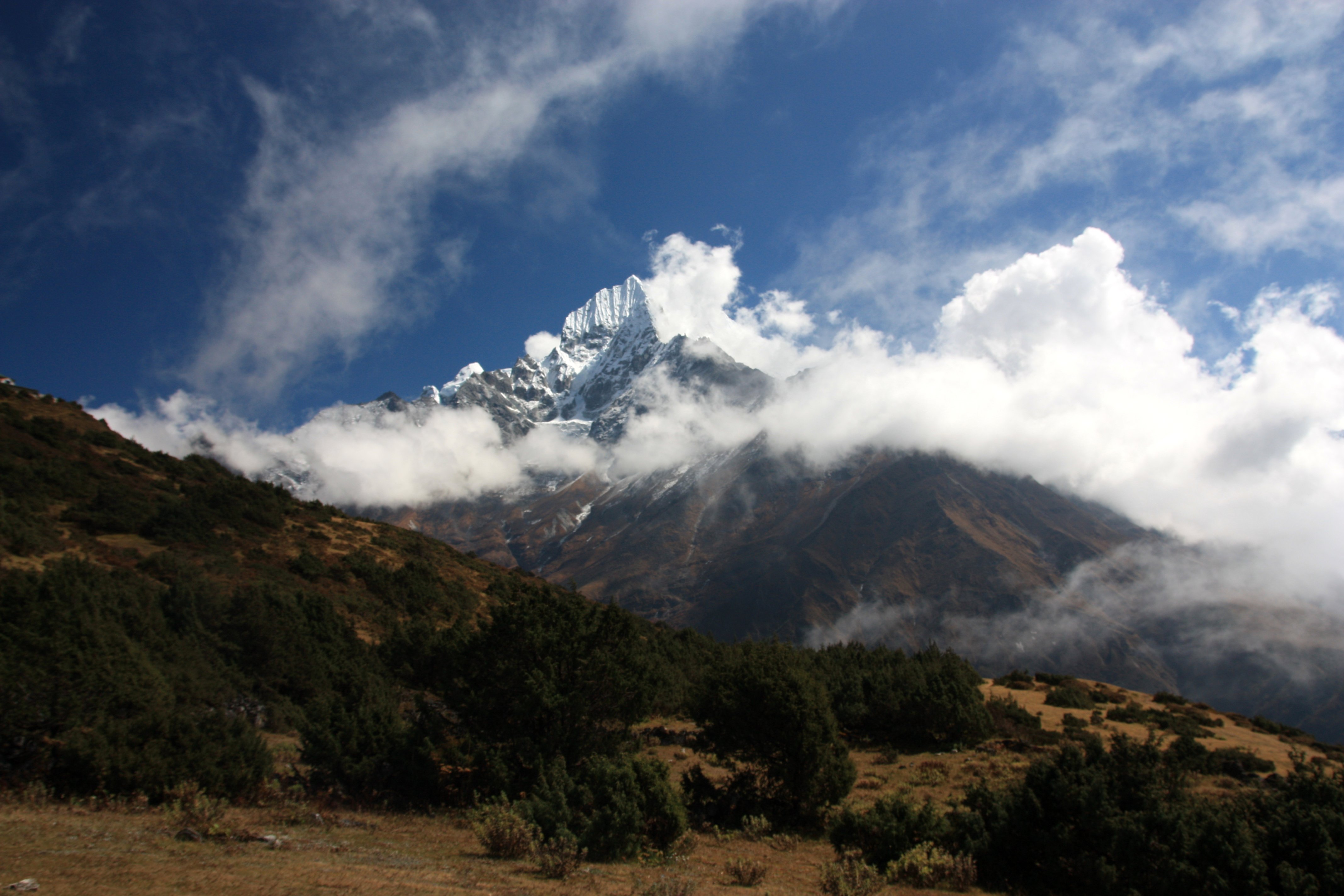
Cool Breeze
Auf halben Weg zum Everest View Hotel - den Schneebergen fast zum Greifen nahe
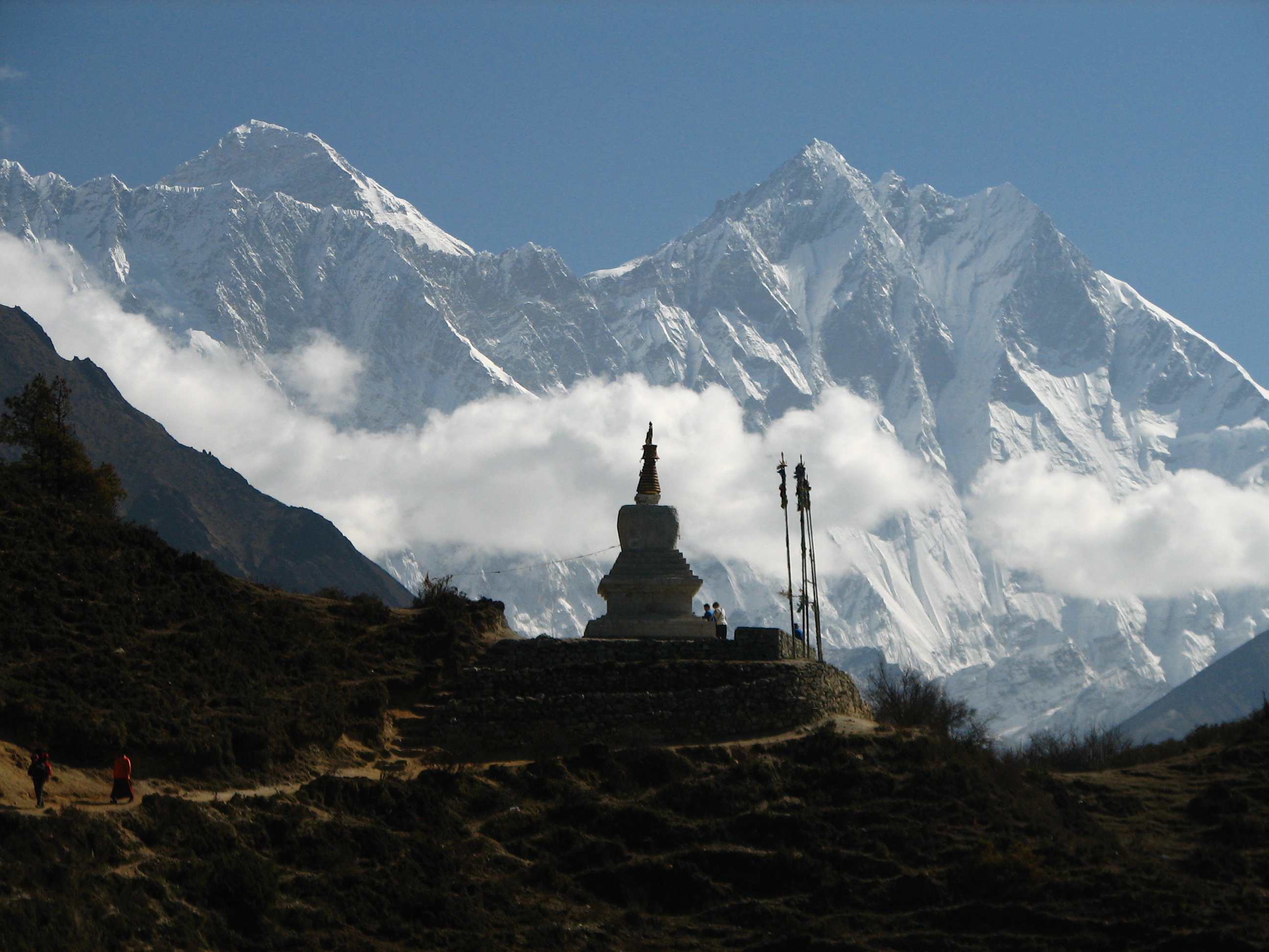
Nepal - Sagamartha Trek - 057 - chorten silhouetted by Lhotse & Everest
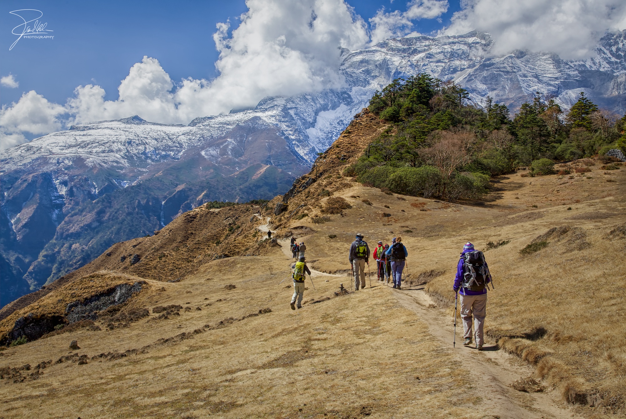
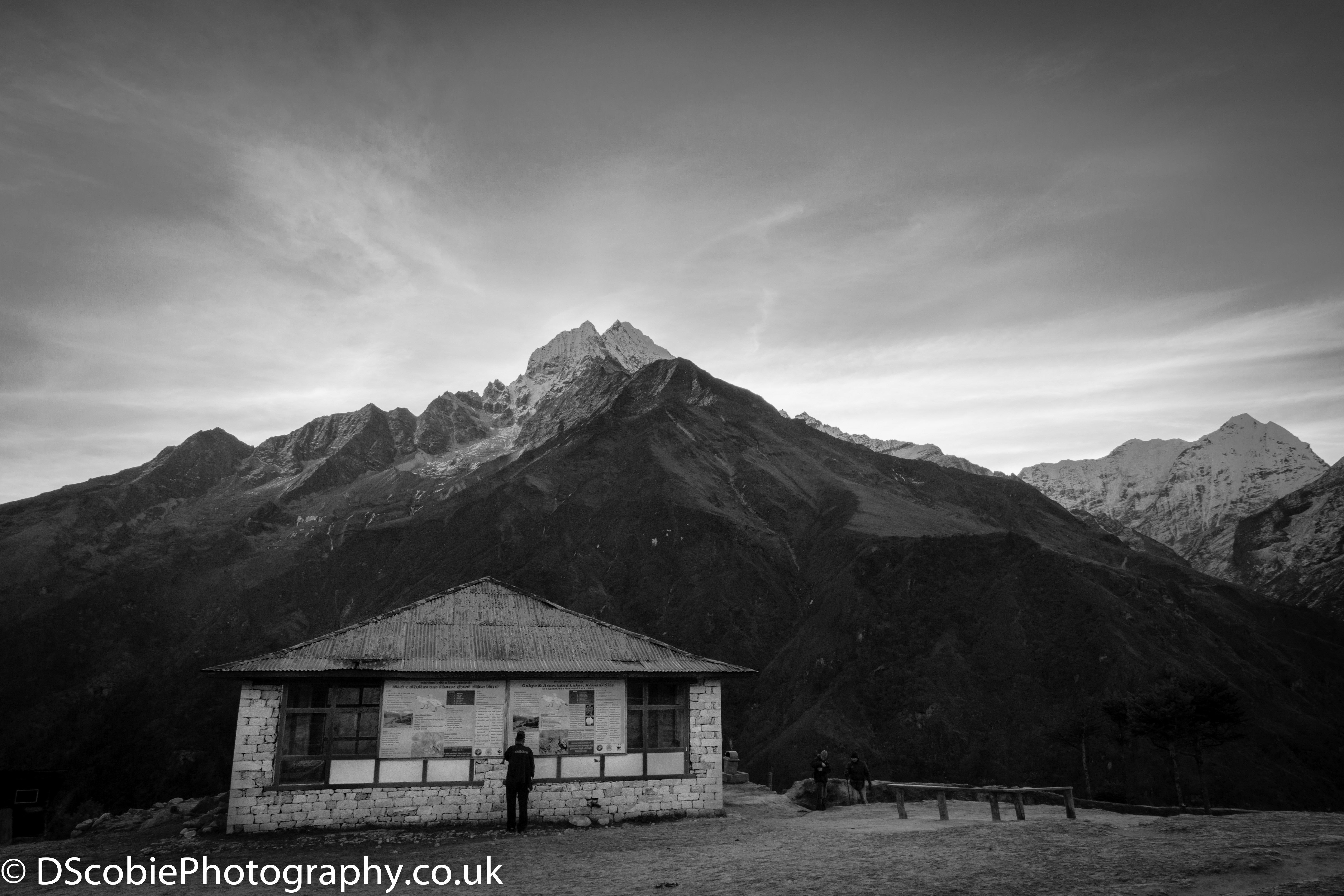
Trekking above Namche Bazaar

Trekking from Namche Bazaar to Tengboche Monestary

Top view of Namche Bazar

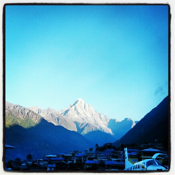
Lukla Airport

F6 22:02:82

F19 22:02:82
Good morning, Namche! 3440mts still 2000mts to go to base camp! =) Cross your fingers for this views all the way up! #nepal #mountain #namche #climbing #trekking

The Grand View

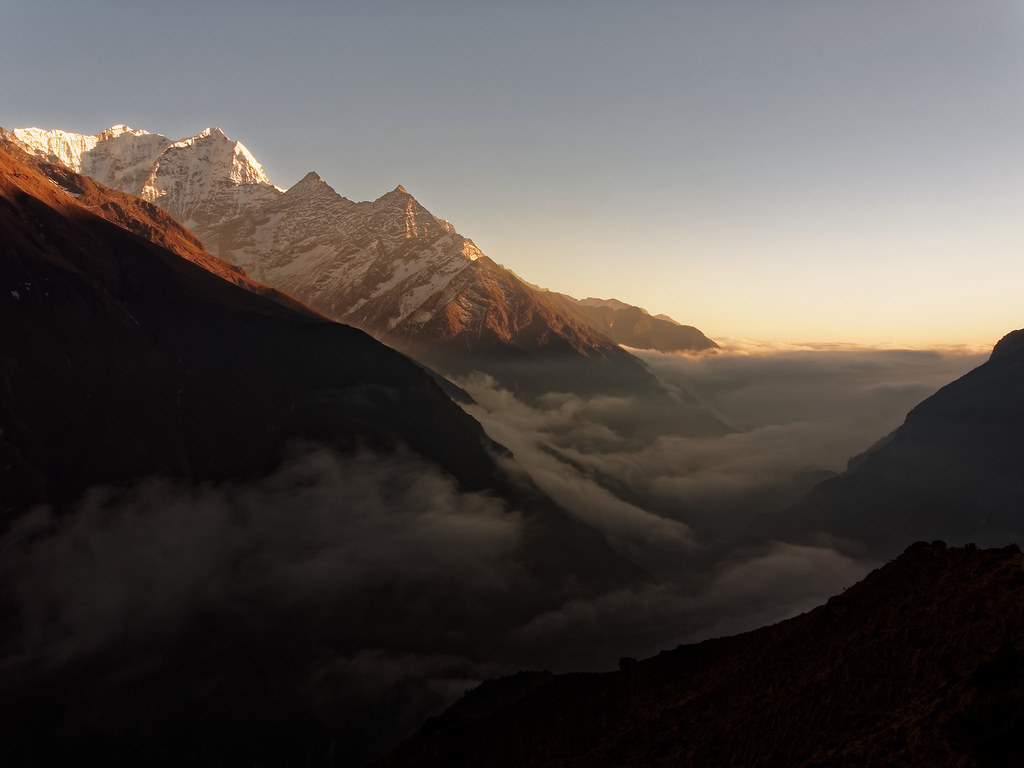
Mountain sunset

Himalayan view
Morning in Namche

Mountain sunset
EverestTrekWeb (20 of 76)

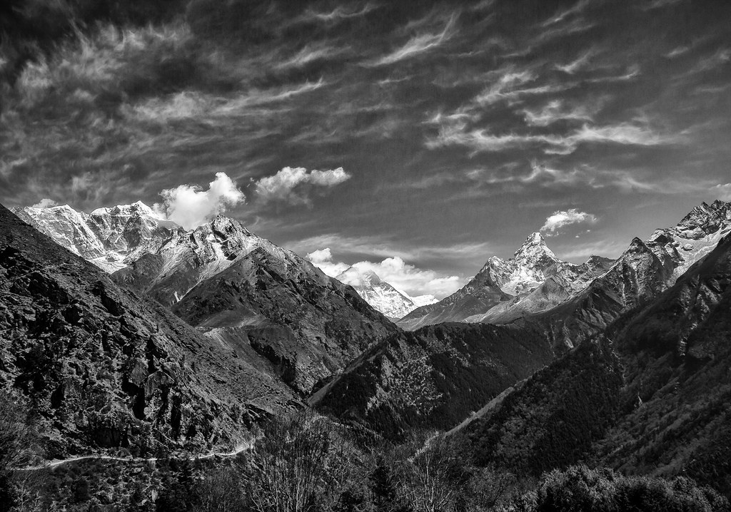
Trekking around Namche Bazaar and views to Everest

Everest & Lhotse View 2
Nice view.

Mount Everest
2015:02:NEPAL:NAMCHE
and the way began... - y el camino comenzó...
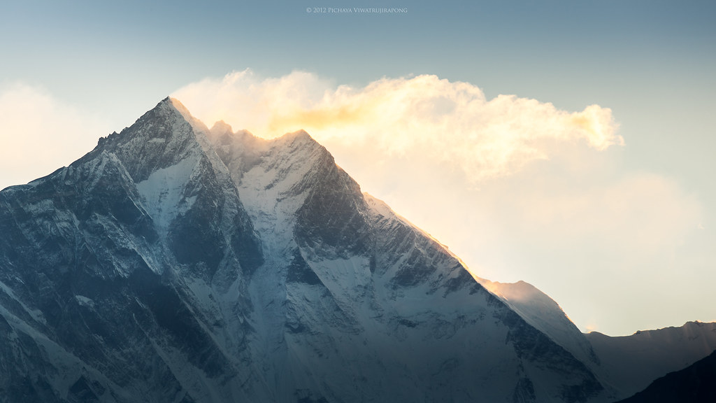
Sunrise over Lhotse

D25 19:02:82
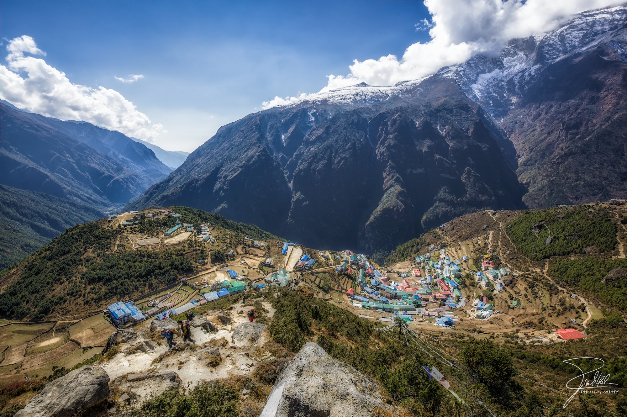
Namche Bazaar
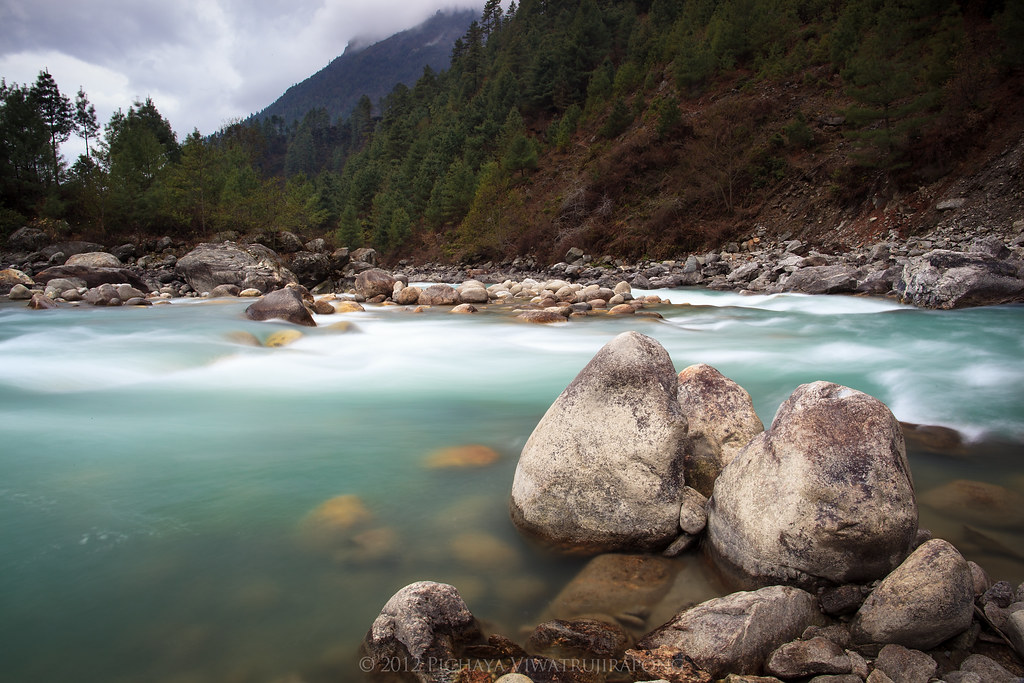
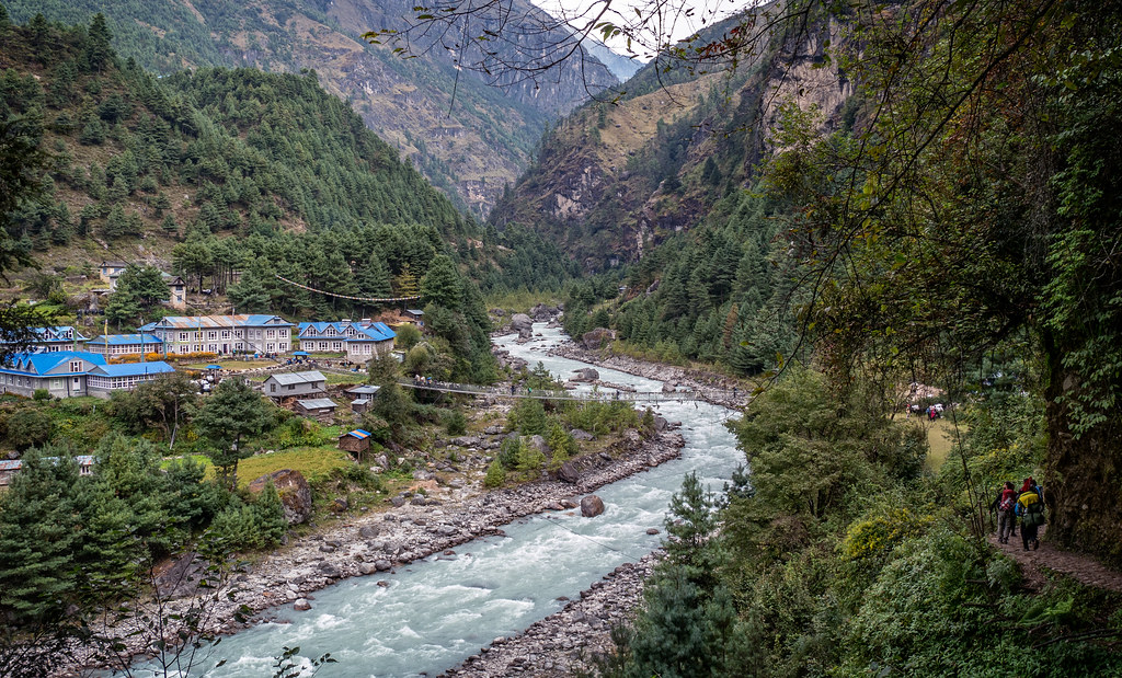
Dudh Kosi River
On the way to Namche Bazar
Dudh koshi valley - Khumbu - Nepal

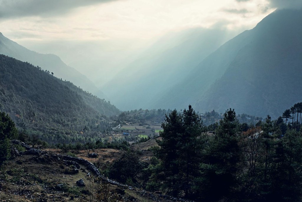
Khumbu Valley
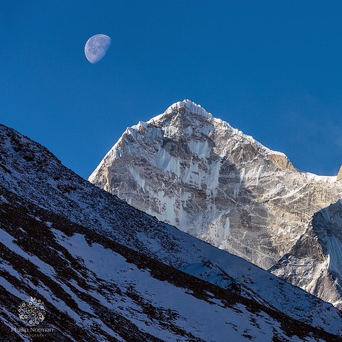
The air is clear in the Himalayas. The moon floats over Kangtega, a peak between Thamserku and Ama Dablam. This image taken from the village of Dingboche #Kangtega #philnormanphoto #nepal #natgeotravel #himalaya #Everest #Basecamp #travel #tour #trekking
In the Blue Hour
The Himalayas
Topographic Map of Tenzing-Hillary Airport, Chaurikharka V.D.C., Nepal
Find elevation by address:

Places near Tenzing-Hillary Airport, Chaurikharka V.D.C., Nepal:
Mera Lodge
Lukla
Cheplung Village, Nepal
Chaurikharka
Snowland Hotel & Restaurant
Phakding
Phakding
Jubing
Kusum Kanguru
Bupsa Guest House
Manjo
Phakding
Kharikhola
Takasindu
Solthi Lodge
Thangnag
Kala Pathar Lodge And Restaurant
Namche Bazar
Sherpa Panorama Hotels
Solukhumbu
Recent Searches:
- Elevation of Corso Fratelli Cairoli, 35, Macerata MC, Italy
- Elevation of Tallevast Rd, Sarasota, FL, USA
- Elevation of 4th St E, Sonoma, CA, USA
- Elevation of Black Hollow Rd, Pennsdale, PA, USA
- Elevation of Oakland Ave, Williamsport, PA, USA
- Elevation of Pedrógão Grande, Portugal
- Elevation of Klee Dr, Martinsburg, WV, USA
- Elevation of Via Roma, Pieranica CR, Italy
- Elevation of Tavkvetili Mountain, Georgia
- Elevation of Hartfords Bluff Cir, Mt Pleasant, SC, USA