Elevation map of Sagarmatha, Nepal
Location: Nepal > Eastern Region >
Longitude: 86.7416374
Latitude: 27.3238263
Elevation: 1118m / 3668feet
Barometric Pressure: 89KPa
Elevation Map:
Satellite Map:
Related Photos:

Mount Everest
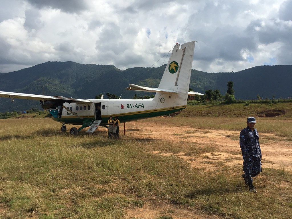
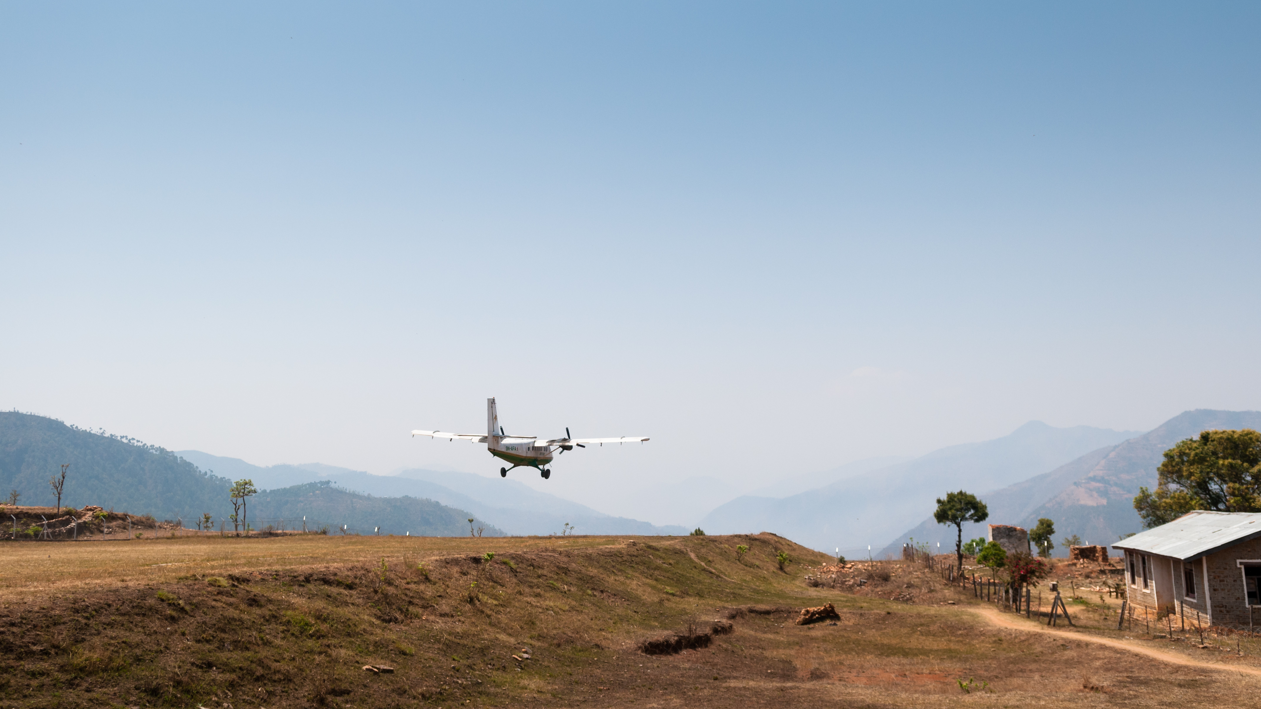
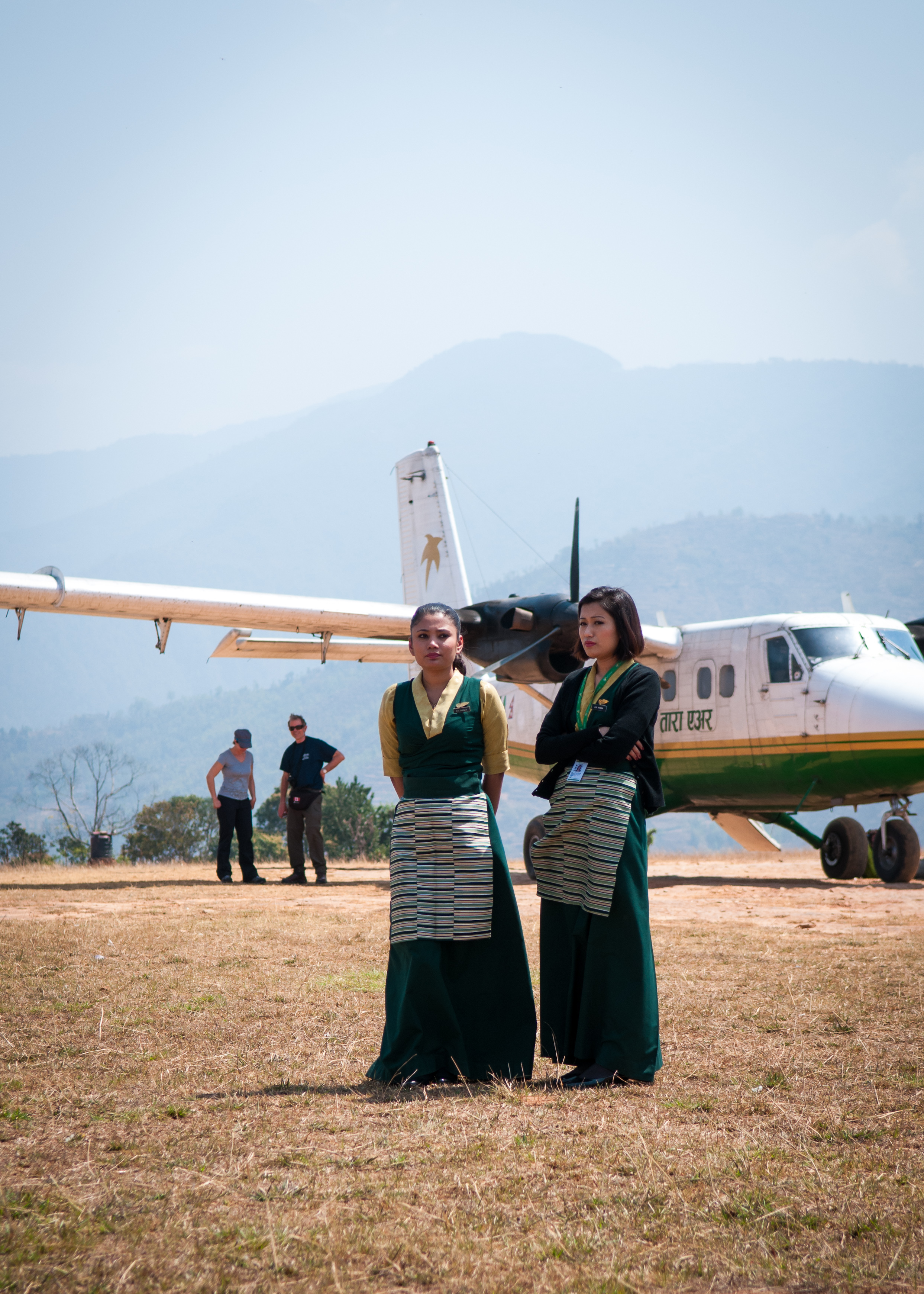
Escape from Kathmandu — Surprise Landing

Specially formulated for Yetis
Abandoned!
Killing Time

The High Street

Faces of Nepal
Topographic Map of Sagarmatha, Nepal
Find elevation by address:

Places in Sagarmatha, Nepal:
Khumjung
Namche
Chaurikharka
Takasindu
Dudhakunda
Rajbiraj
Shambhunath
Chukhung
Phedi
Pattale
Singhadevi
Kharikhola
Dingboche
Phakding
Nunthala
Siraha
Rasuwa
Nele
Okhaldhunga
Lahan
Mulkharka
Saptari
Rautahat
Mahadevsthan
Places near Sagarmatha, Nepal:
Nunthala
Khotang
Nele
Mahadevbesi
Mahadevsthan
Kakani Temple
Phedi
Mangaltar
Pattale
Salpa Pokhari
Dorpu Newar Samaj Guthi
Siddhicharan
Salleri Dudhkunda Municipality सल्लेरी, दुधकुण्ड नगरपालिका
Okhaldhunga
Salleri
Annapurna
Phaplu Airport
Kharikhola
Solthi Lodge
Nunthala (mani Dingma)
Recent Searches:
- Elevation of Corso Fratelli Cairoli, 35, Macerata MC, Italy
- Elevation of Tallevast Rd, Sarasota, FL, USA
- Elevation of 4th St E, Sonoma, CA, USA
- Elevation of Black Hollow Rd, Pennsdale, PA, USA
- Elevation of Oakland Ave, Williamsport, PA, USA
- Elevation of Pedrógão Grande, Portugal
- Elevation of Klee Dr, Martinsburg, WV, USA
- Elevation of Via Roma, Pieranica CR, Italy
- Elevation of Tavkvetili Mountain, Georgia
- Elevation of Hartfords Bluff Cir, Mt Pleasant, SC, USA