Elevation of Salleri, Nepal
Location: Nepal > Eastern Region > Sagarmatha > Dudhakunda >
Longitude: 86.5703554
Latitude: 27.4957598
Elevation: 2362m / 7749feet
Barometric Pressure: 76KPa
Elevation Map:
Satellite Map:
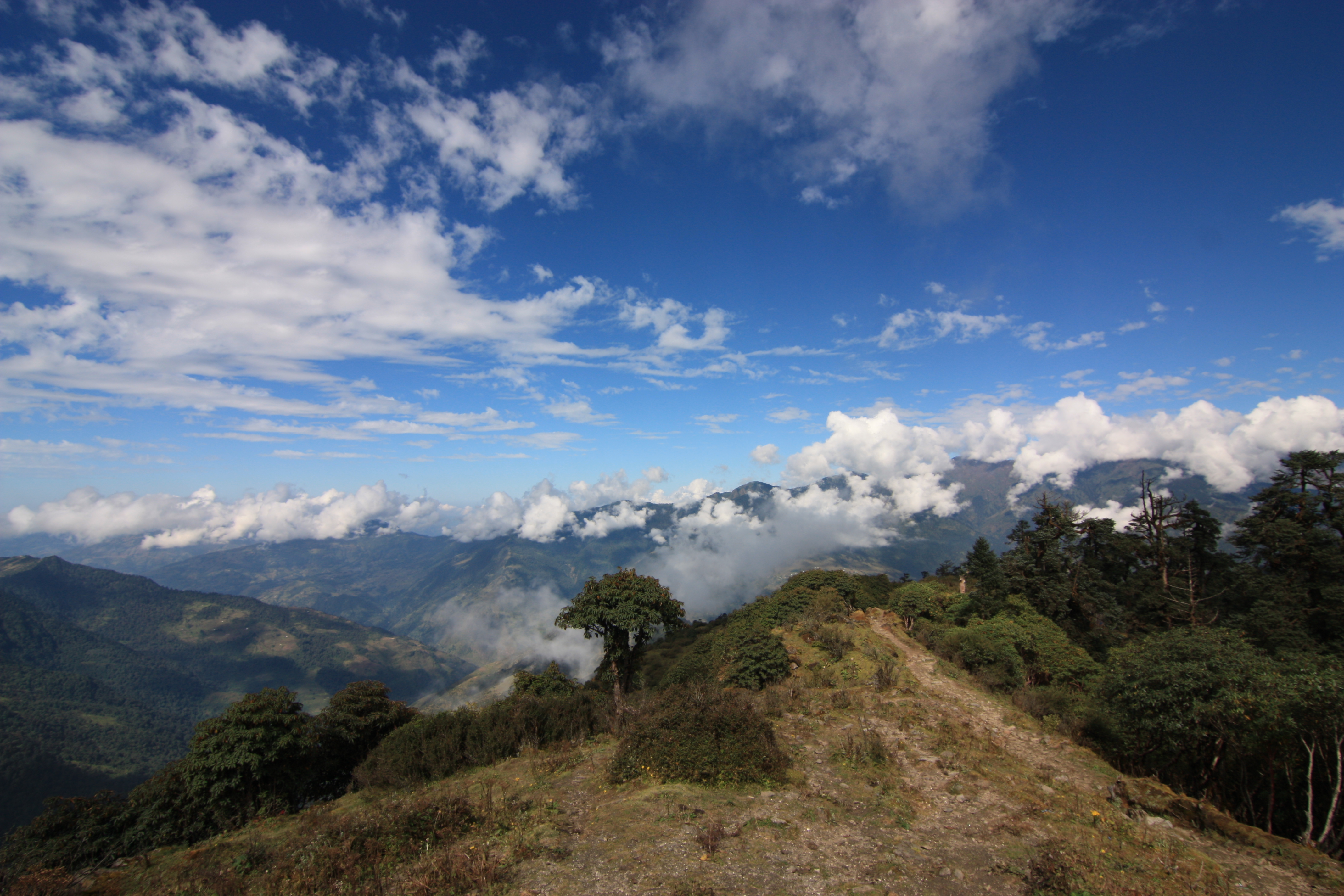
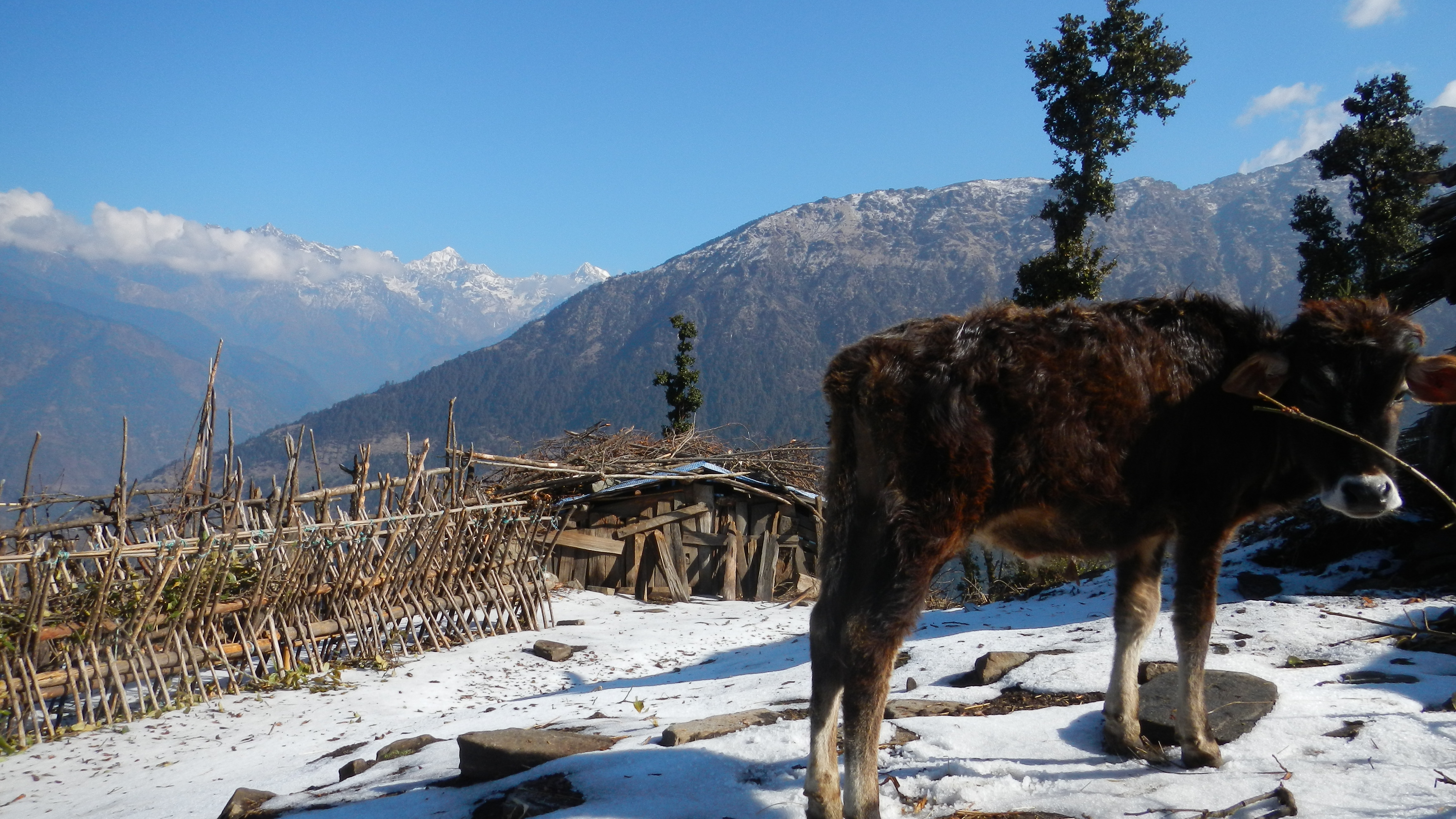
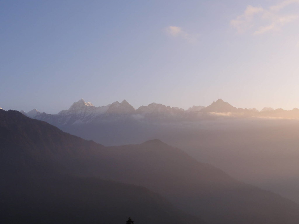
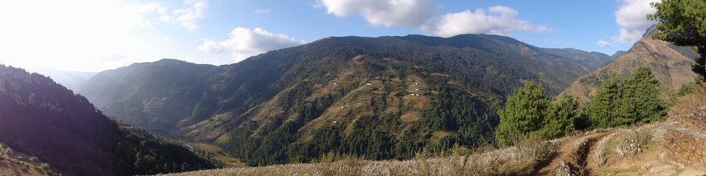
Related Photos:

First view of Everest from Phurteng
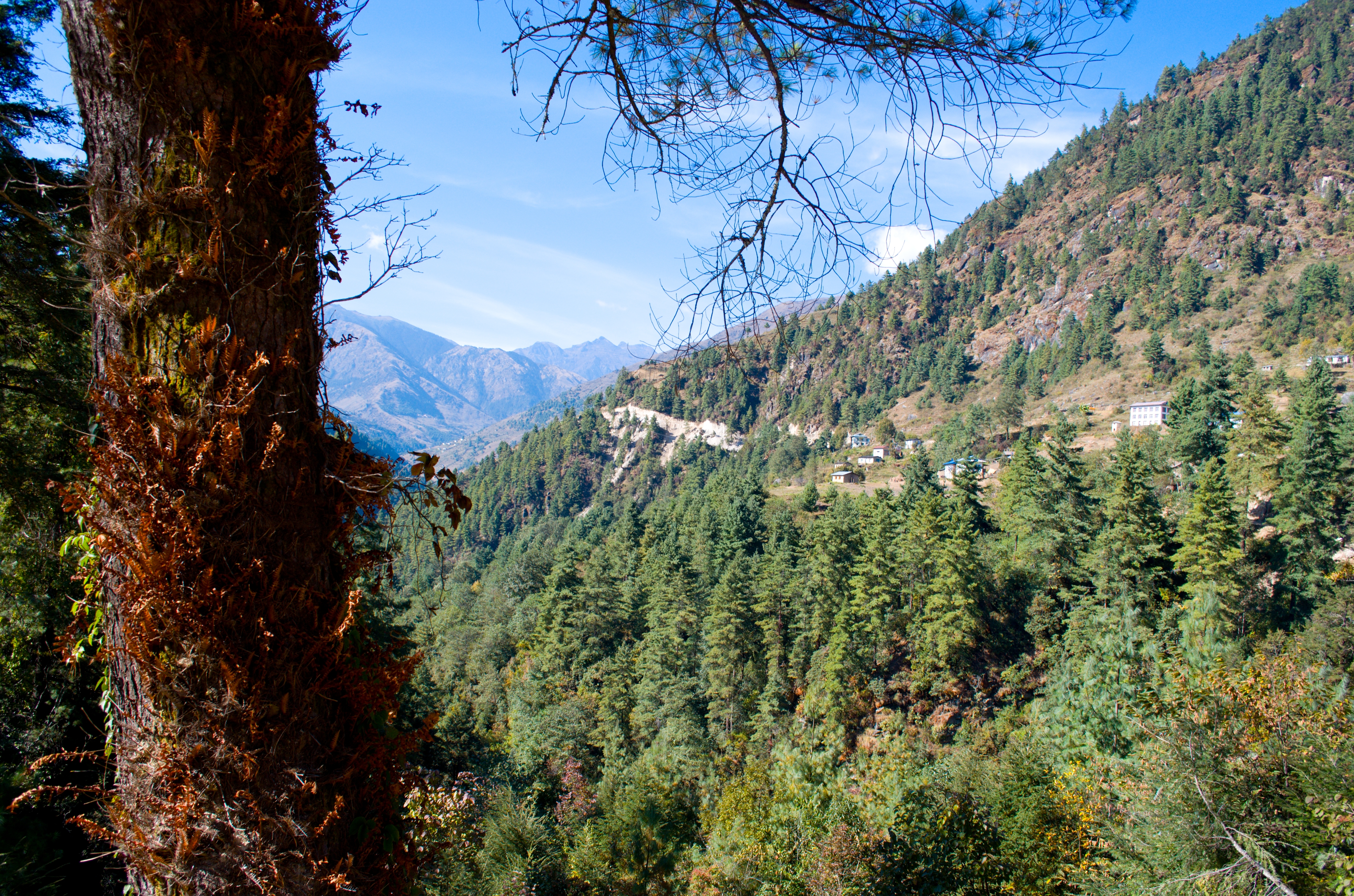
From Lamjura pass to Junbesi - Jiri Lukla trek - Nepal

India Nepal-3338
DSC_0286 (1)

India Nepal-3343
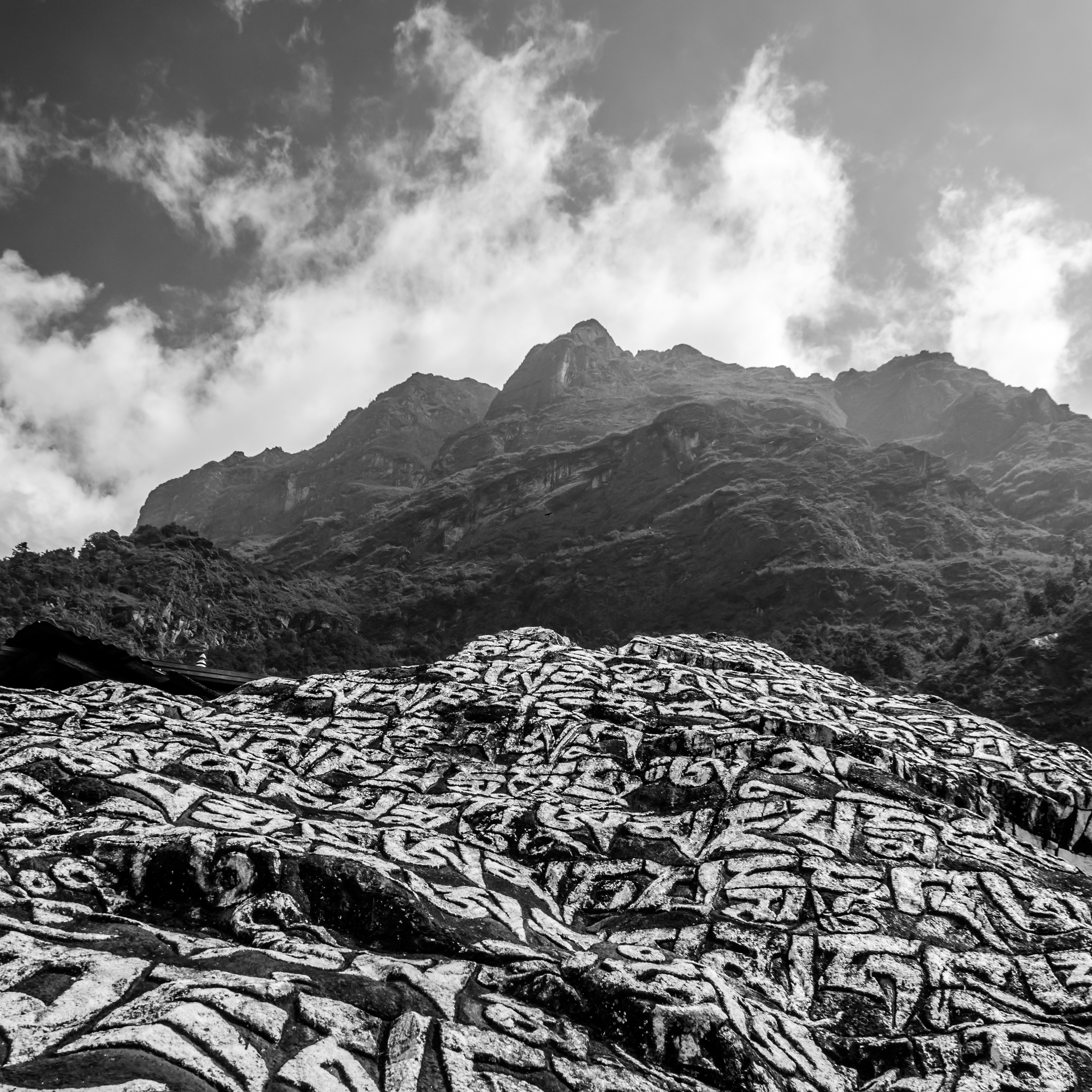
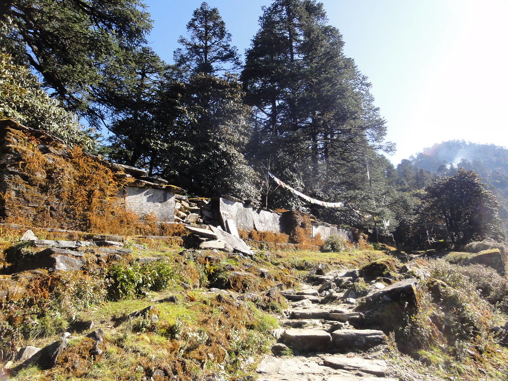
Buddhist Mantras
From Sete to Lamjura pass - Jiri Lukla trek - Nepal
Lumiere Celeste
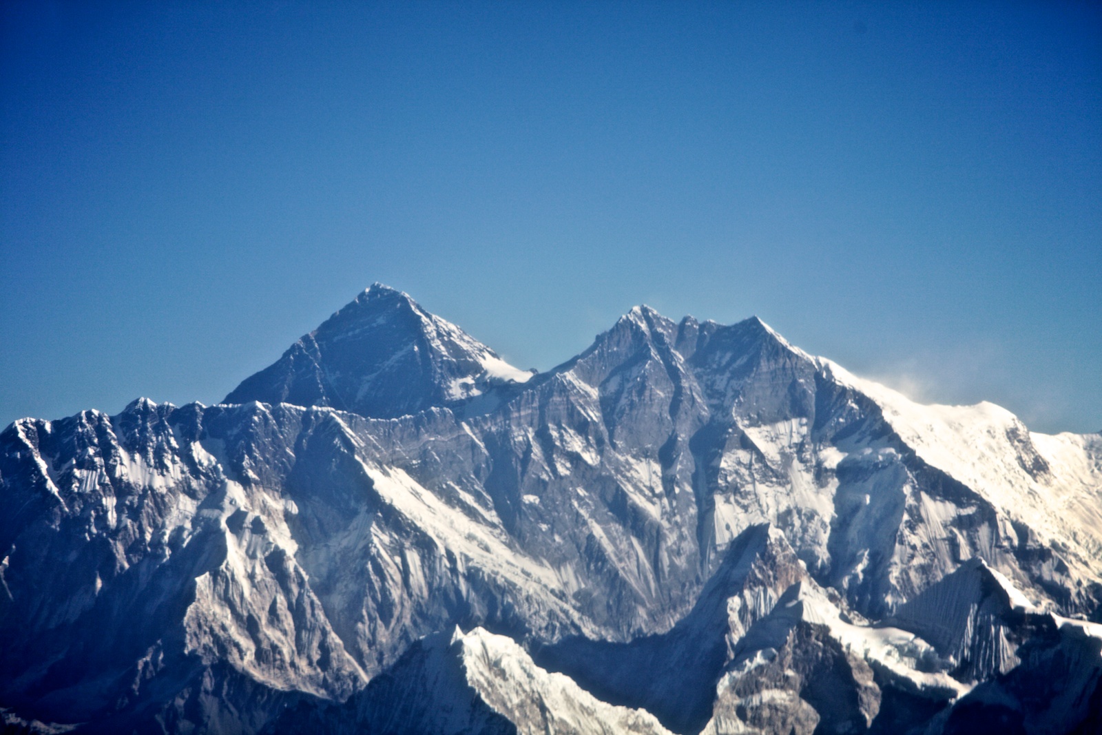
珠穆朗玛峰和洛子峰 / Everest and Lhotse

Mountain Flight - Everest

Lamunja La

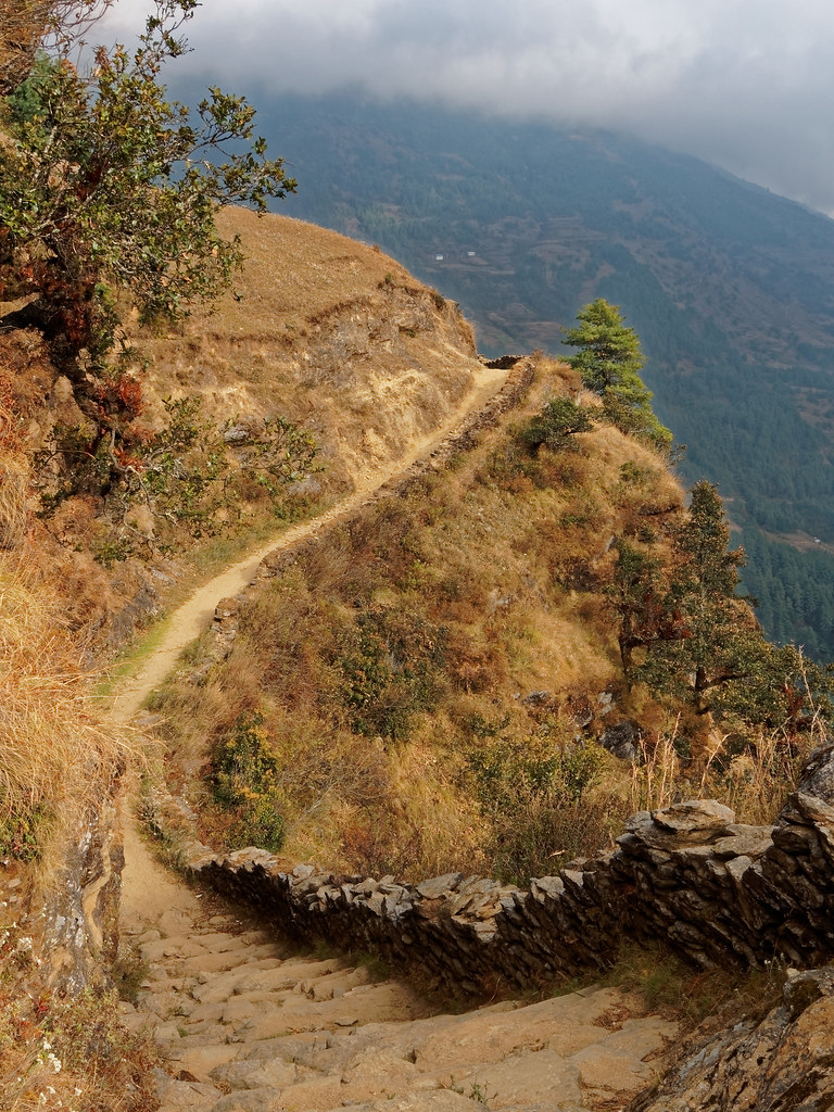
From Nunthala to Bupsa - Jiri Lukla trek - Nepal
DAY 06: Trek Sete to Junbesi
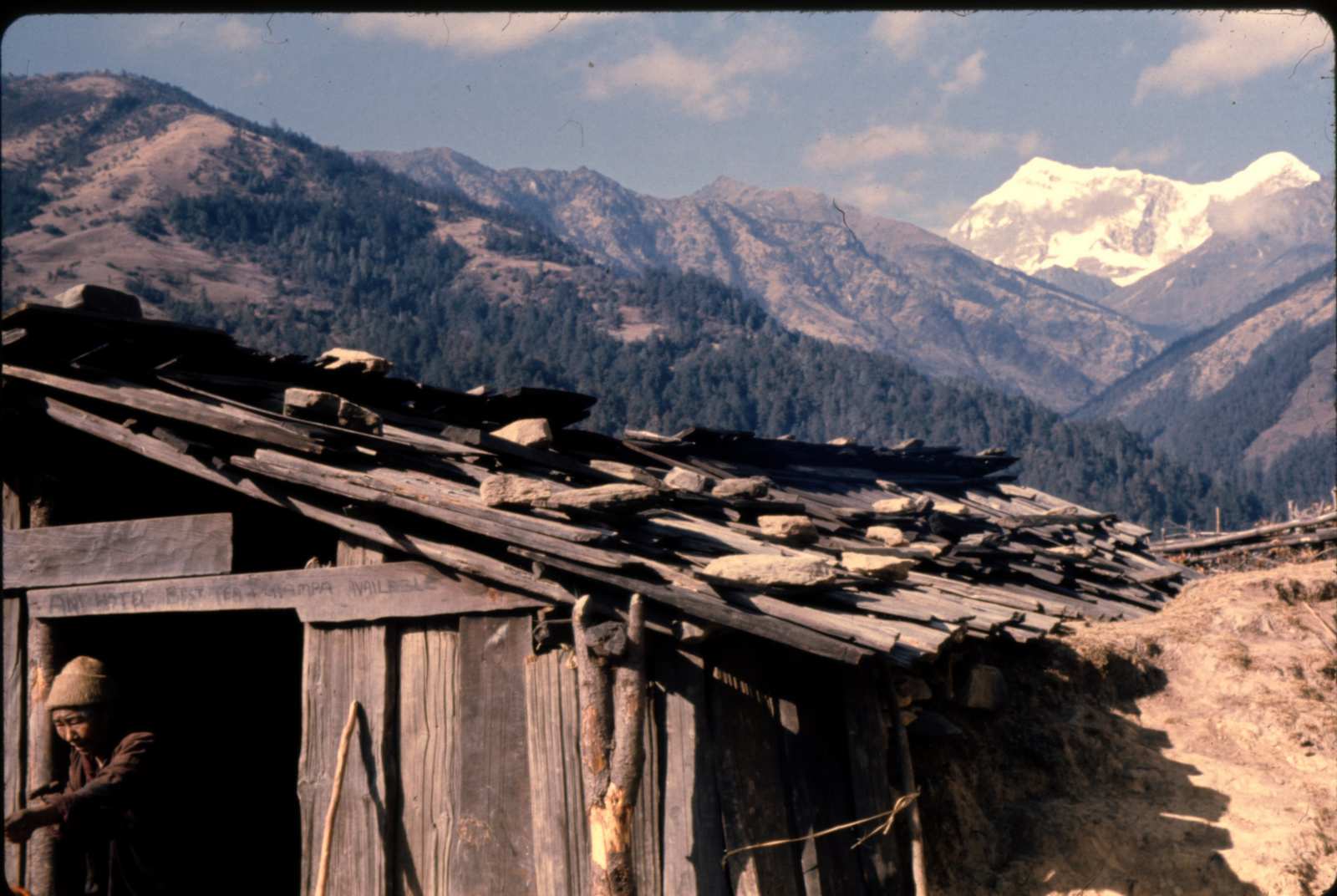
Slide 113 Hotel

Mountain Flight - Everest
Die morgendlichen Ausblicke sind meist die besten - dann kommen die Wolken. Die Magie des Himalaya wird langsam spürbar
Piti Veau
DAY 08: Trek Traksingo to Kharikhola
DAY 07: Trek Junbesi to Traksingo

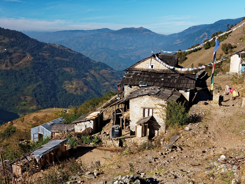
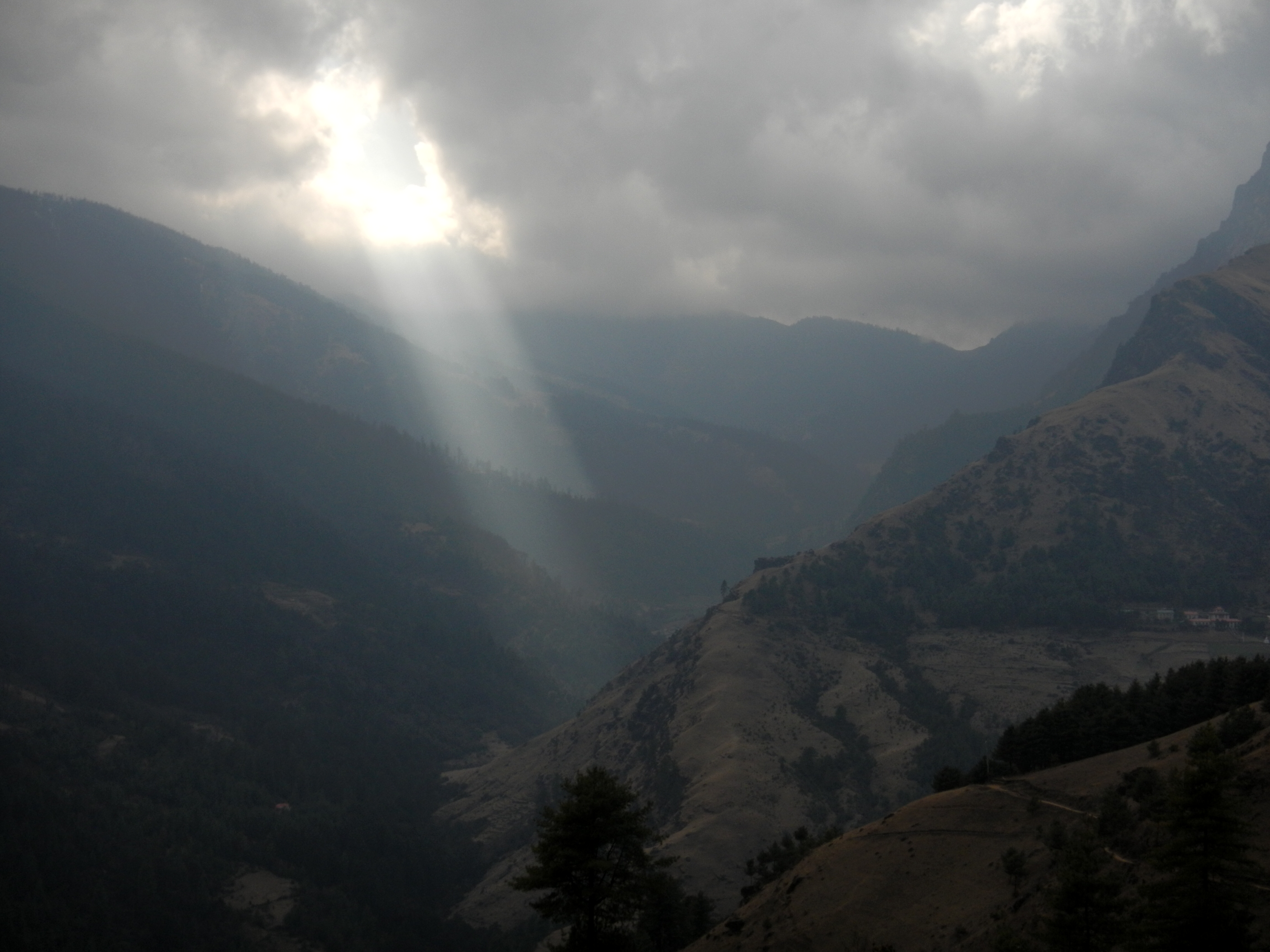
Blick auf Ringmu (2720m) und oberhalb gelegener Pass Taksindu La (3070m) - da müss'mer 'nauf!

Mount Everest
Topographic Map of Salleri, Nepal
Find elevation by address:

Places near Salleri, Nepal:
Dorpu Newar Samaj Guthi
Salleri Dudhkunda Municipality सल्लेरी, दुधकुण्ड नगरपालिका
Phaplu Airport
Dudhakunda
Nele
Pattale
Ringmo Village
Junbesi
Taksindu Monastery
Taksindu Resort
Nunthala (mani Dingma)
Solthi Lodge
Kharikhola
Okhaldhunga
Bupsa Guest House
Takasindu
Siddhicharan
Jubing
Okhaldhunga
Bhandar
Recent Searches:
- Elevation of Corso Fratelli Cairoli, 35, Macerata MC, Italy
- Elevation of Tallevast Rd, Sarasota, FL, USA
- Elevation of 4th St E, Sonoma, CA, USA
- Elevation of Black Hollow Rd, Pennsdale, PA, USA
- Elevation of Oakland Ave, Williamsport, PA, USA
- Elevation of Pedrógão Grande, Portugal
- Elevation of Klee Dr, Martinsburg, WV, USA
- Elevation of Via Roma, Pieranica CR, Italy
- Elevation of Tavkvetili Mountain, Georgia
- Elevation of Hartfords Bluff Cir, Mt Pleasant, SC, USA