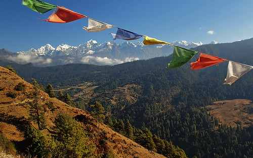
Elevation of Phaplu Airport, Sagarmatha, Nepal
Location: Nepal > Eastern Region > Sagarmatha > Dudhakunda > Salleri >
Longitude: 86.5870508
Latitude: 27.5204527
Elevation: 2461m / 8074feet
Barometric Pressure: 75KPa
Related Photos:
Topographic Map of Phaplu Airport, Sagarmatha, Nepal
Find elevation by address:

Places near Phaplu Airport, Sagarmatha, Nepal:
Salleri Dudhkunda Municipality सल्लेरी, दुधकुण्ड नगरपालिका
Salleri
Dorpu Newar Samaj Guthi
Dudhakunda
Ringmo Village
Taksindu Monastery
Taksindu Resort
Junbesi
Nele
Nunthala (mani Dingma)
Pattale
Solthi Lodge
Kharikhola
Bupsa Guest House
Takasindu
Jubing
Okhaldhunga
Lukla
Tenzing-hillary Airport
Mera Lodge
Recent Searches:
- Elevation of Corso Fratelli Cairoli, 35, Macerata MC, Italy
- Elevation of Tallevast Rd, Sarasota, FL, USA
- Elevation of 4th St E, Sonoma, CA, USA
- Elevation of Black Hollow Rd, Pennsdale, PA, USA
- Elevation of Oakland Ave, Williamsport, PA, USA
- Elevation of Pedrógão Grande, Portugal
- Elevation of Klee Dr, Martinsburg, WV, USA
- Elevation of Via Roma, Pieranica CR, Italy
- Elevation of Tavkvetili Mountain, Georgia
- Elevation of Hartfords Bluff Cir, Mt Pleasant, SC, USA
