Elevation of Sutarpada, Maharashtra, India
Location: India > Maharashtra > Thane >
Longitude: 72.8973302
Latitude: 20.1531556
Elevation: 87m / 285feet
Barometric Pressure: 0KPa
Related Photos:

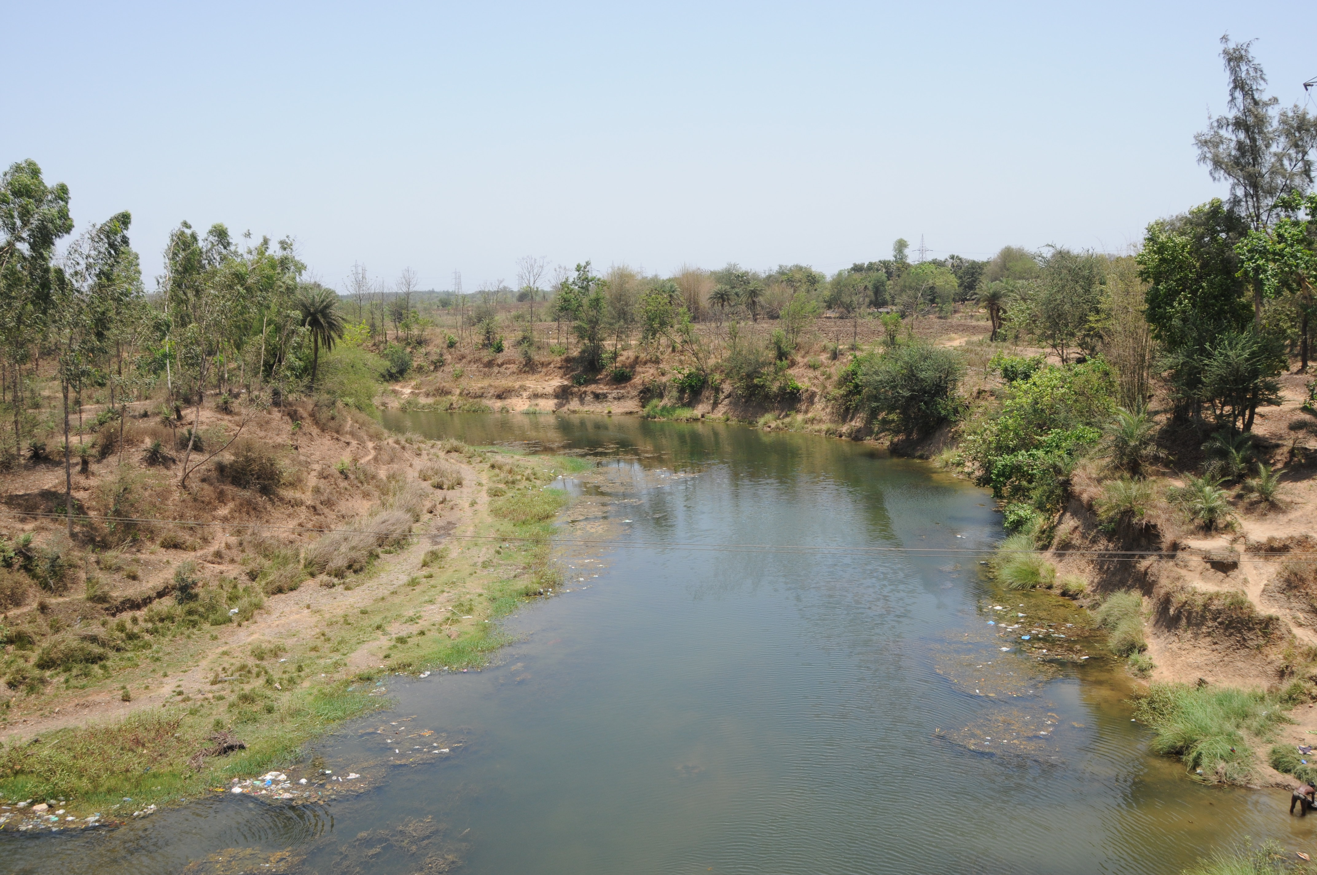
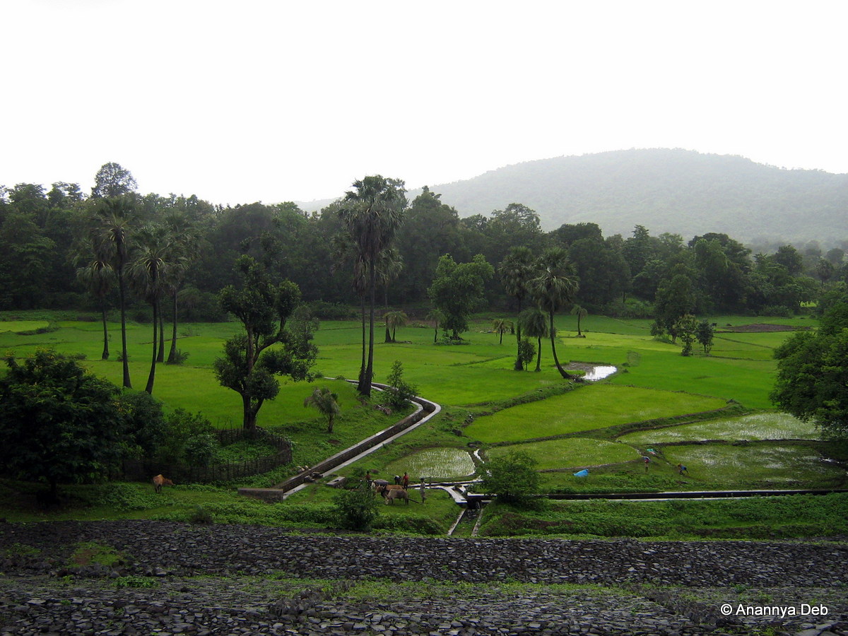
CSP_6490.JPG

CSP_6485.JPG

Leaves of sapota
CSP_6469.JPG

CSP_6486.JPG

CSP_6491.JPG

CSP_6489.JPG

CSP_6483.JPG

CSP_6466.JPG
CSP_6472.JPG

CSP_6474.JPG

CSP_6480.JPG

CSP_6478.JPG

CSP_6477.JPG
CSP_6459.JPG

CSP_6473.JPG

CSP_6470.JPG
CSP_6476.JPG

CSP_6479.JPG

CSP_6467.JPG

Bordi, August 2006
Bordi, August 2006

Bordi, August 2006

Bordi, August 2006

Bhilad by me
Topographic Map of Sutarpada, Maharashtra, India
Find elevation by address:

Places near Sutarpada, Maharashtra, India:
Velugam
Dadra And Nagar Haveli
Silvassa
Hirwa Van Garden
Amli Ind. Estate
Dadra
Dadra And Nagar Haveli
Ddutcps
Daman
Daman
Daman And Diu
Matgaon
Dolhari Bk.
Zp School Bahirampada, Vikramgadh, Palghar
Killa-pardi
Nandore
Bilimora
Neela Apartment
Ayodhya Nagar
Dhirubhai Wadi
Recent Searches:
- Elevation map of Greenland, Greenland
- Elevation of Sullivan Hill, New York, New York, 10002, USA
- Elevation of Morehead Road, Withrow Downs, Charlotte, Mecklenburg County, North Carolina, 28262, USA
- Elevation of 2800, Morehead Road, Withrow Downs, Charlotte, Mecklenburg County, North Carolina, 28262, USA
- Elevation of Yangbi Yi Autonomous County, Yunnan, China
- Elevation of Pingpo, Yangbi Yi Autonomous County, Yunnan, China
- Elevation of Mount Malong, Pingpo, Yangbi Yi Autonomous County, Yunnan, China
- Elevation map of Yongping County, Yunnan, China
- Elevation of North 8th Street, Palatka, Putnam County, Florida, 32177, USA
- Elevation of 107, Big Apple Road, East Palatka, Putnam County, Florida, 32131, USA
- Elevation of Jiezi, Chongzhou City, Sichuan, China
- Elevation of Chongzhou City, Sichuan, China
- Elevation of Huaiyuan, Chongzhou City, Sichuan, China
- Elevation of Qingxia, Chengdu, Sichuan, China
- Elevation of Corso Fratelli Cairoli, 35, Macerata MC, Italy
- Elevation of Tallevast Rd, Sarasota, FL, USA
- Elevation of 4th St E, Sonoma, CA, USA
- Elevation of Black Hollow Rd, Pennsdale, PA, USA
- Elevation of Oakland Ave, Williamsport, PA, USA
- Elevation of Pedrógão Grande, Portugal