Elevation of Dadra and Nagar Haveli, India
Location: India >
Longitude: 73.0169135
Latitude: 20.1808672
Elevation: 52m / 171feet
Barometric Pressure: 101KPa
Elevation Map:
Satellite Map:
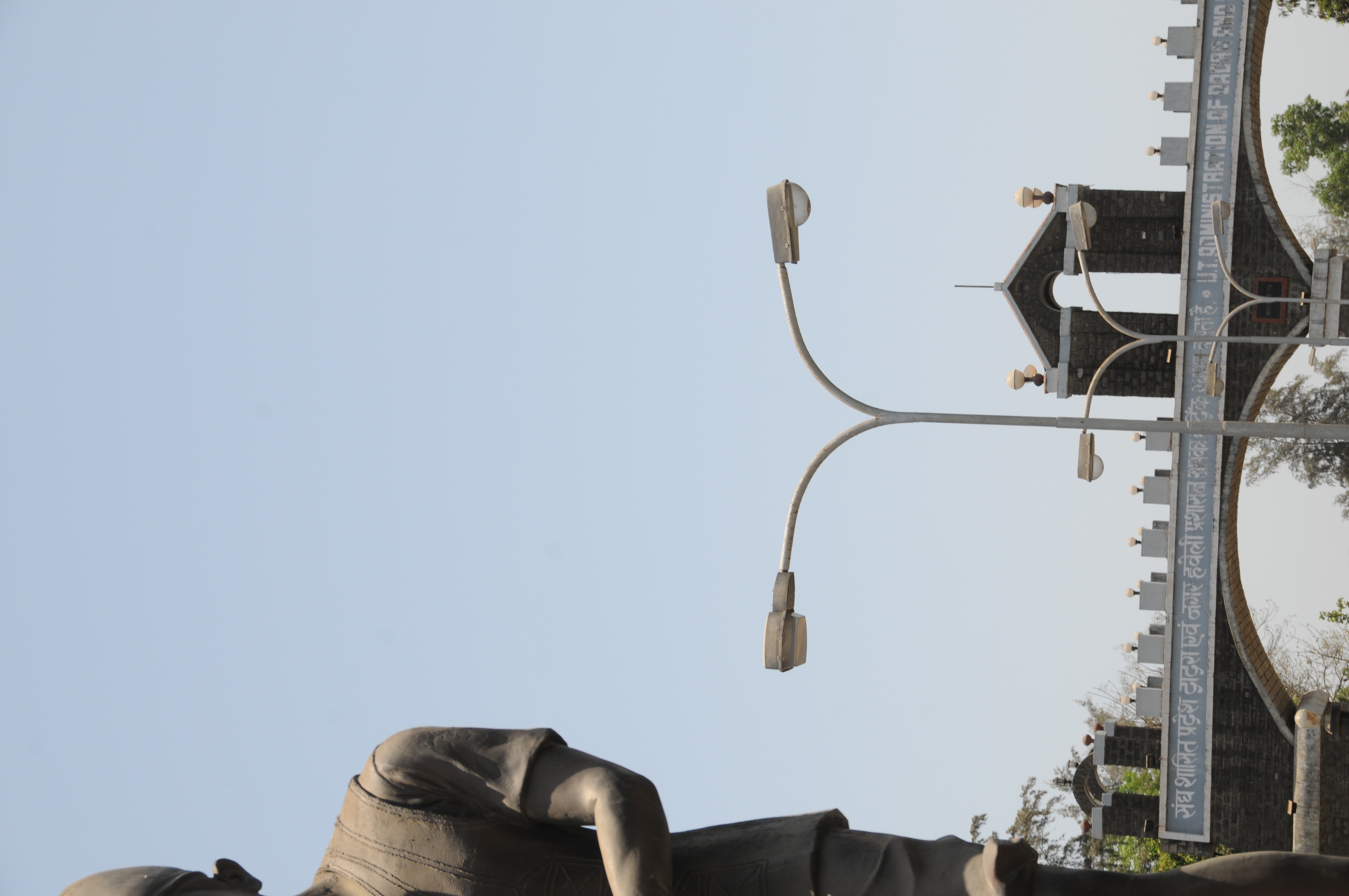
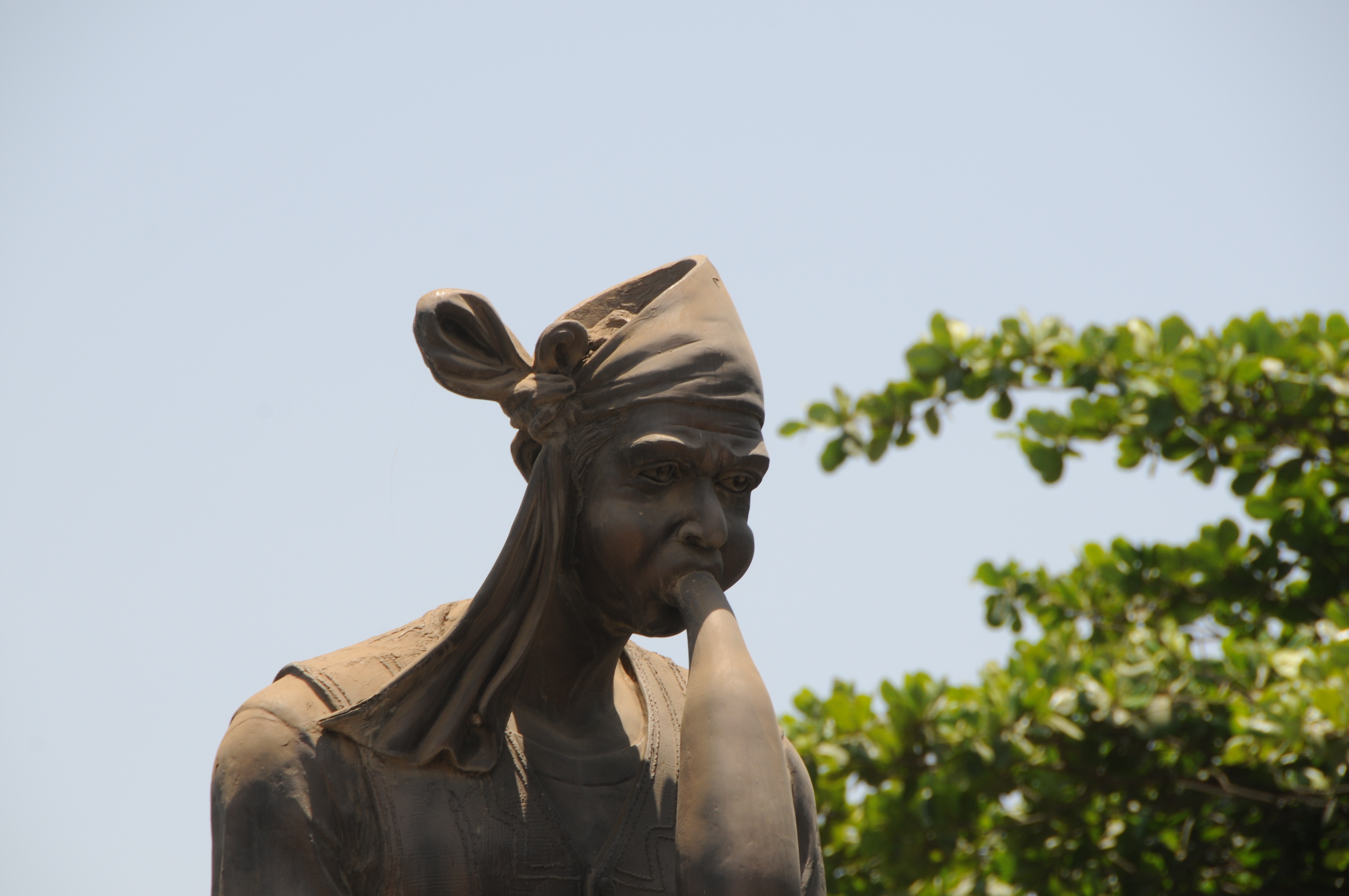
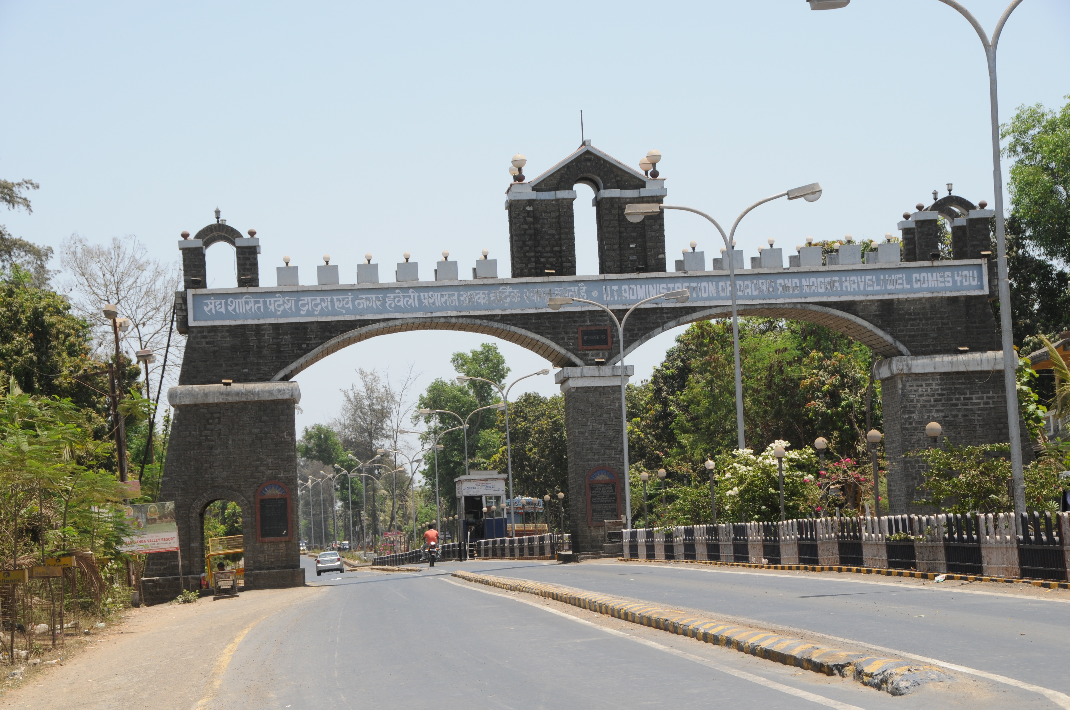
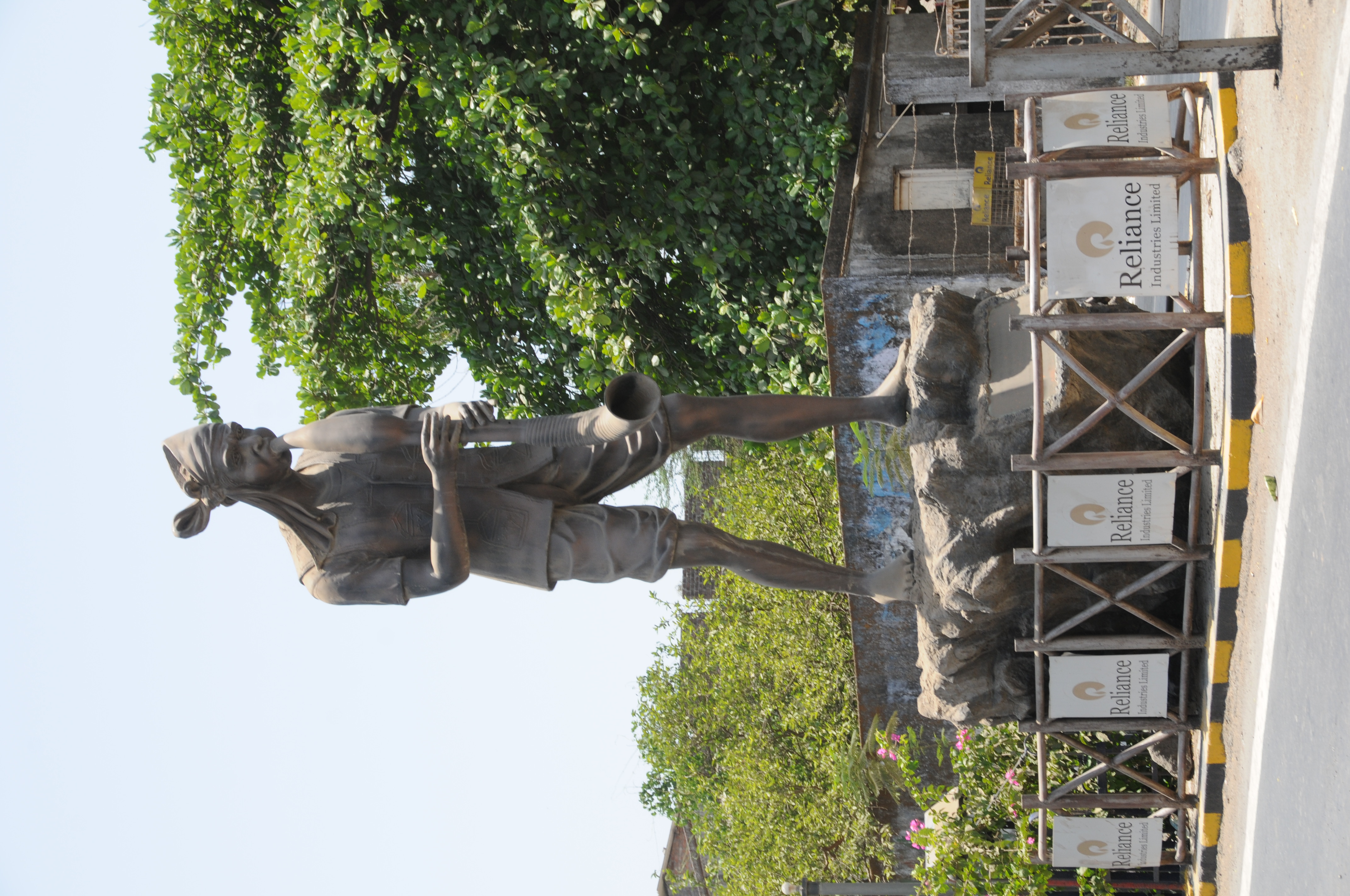
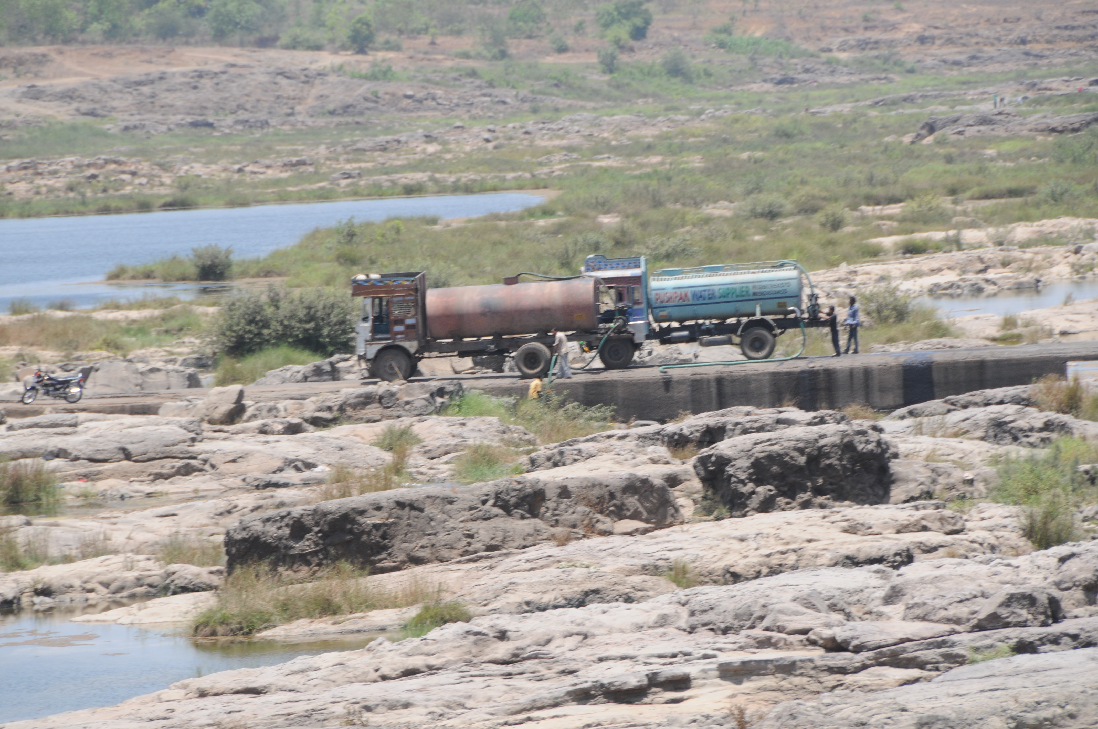
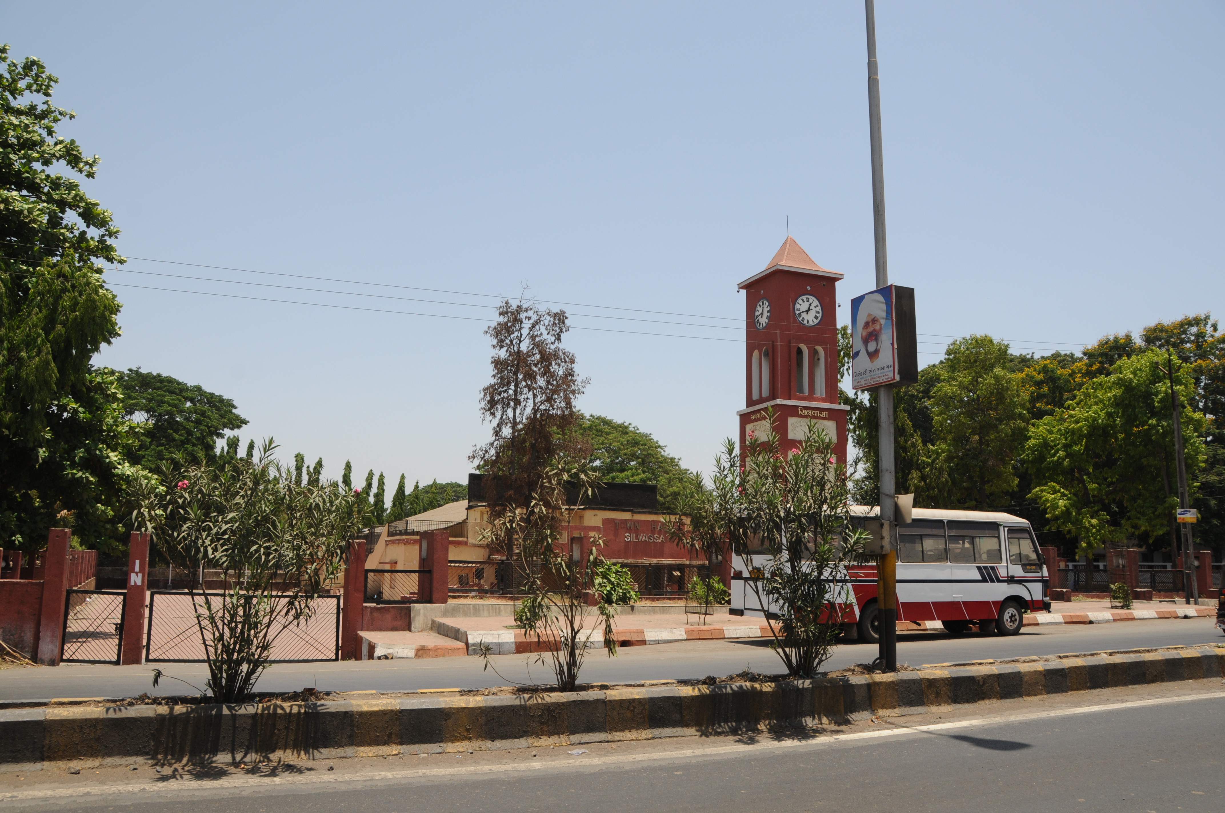
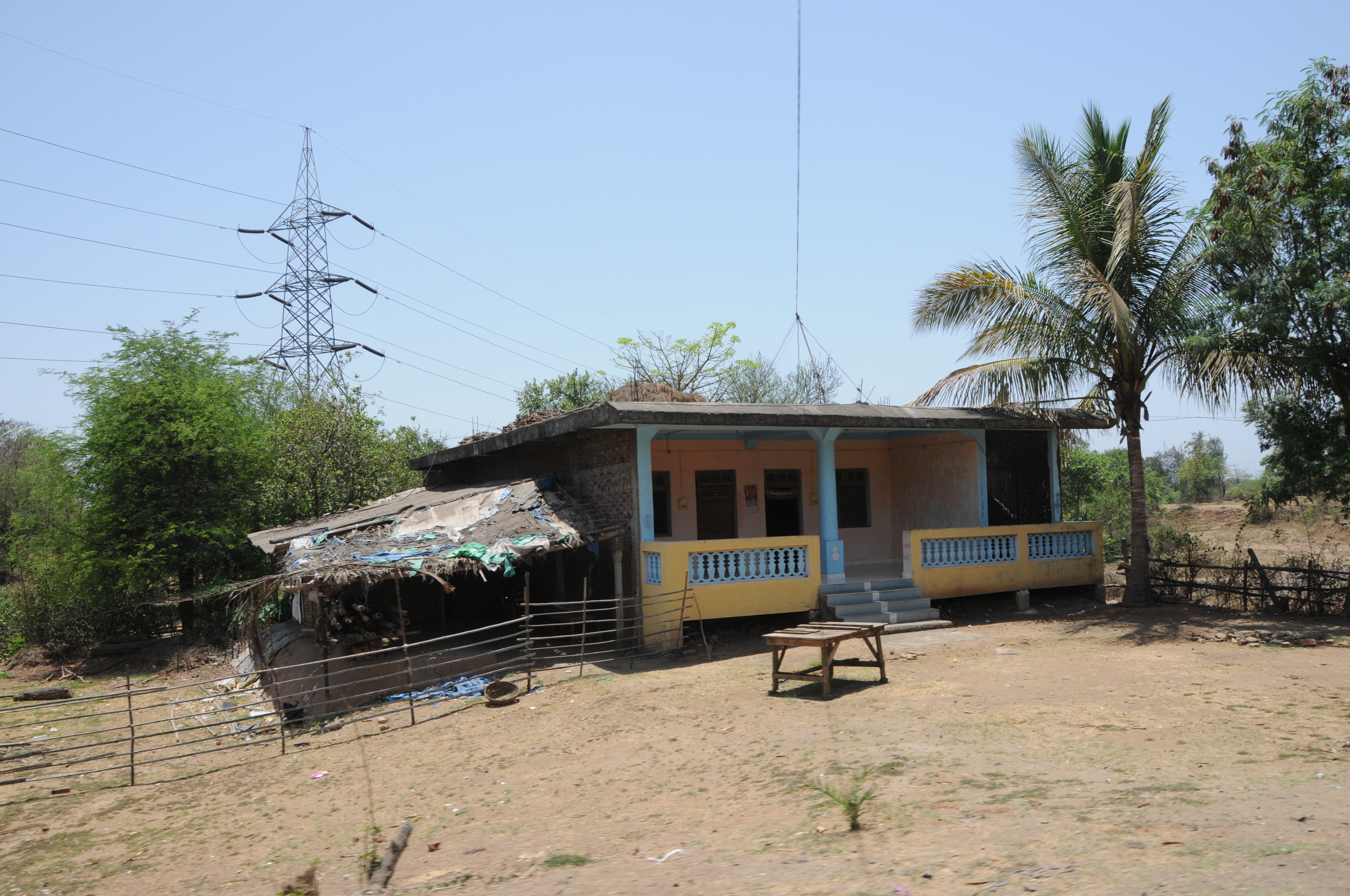
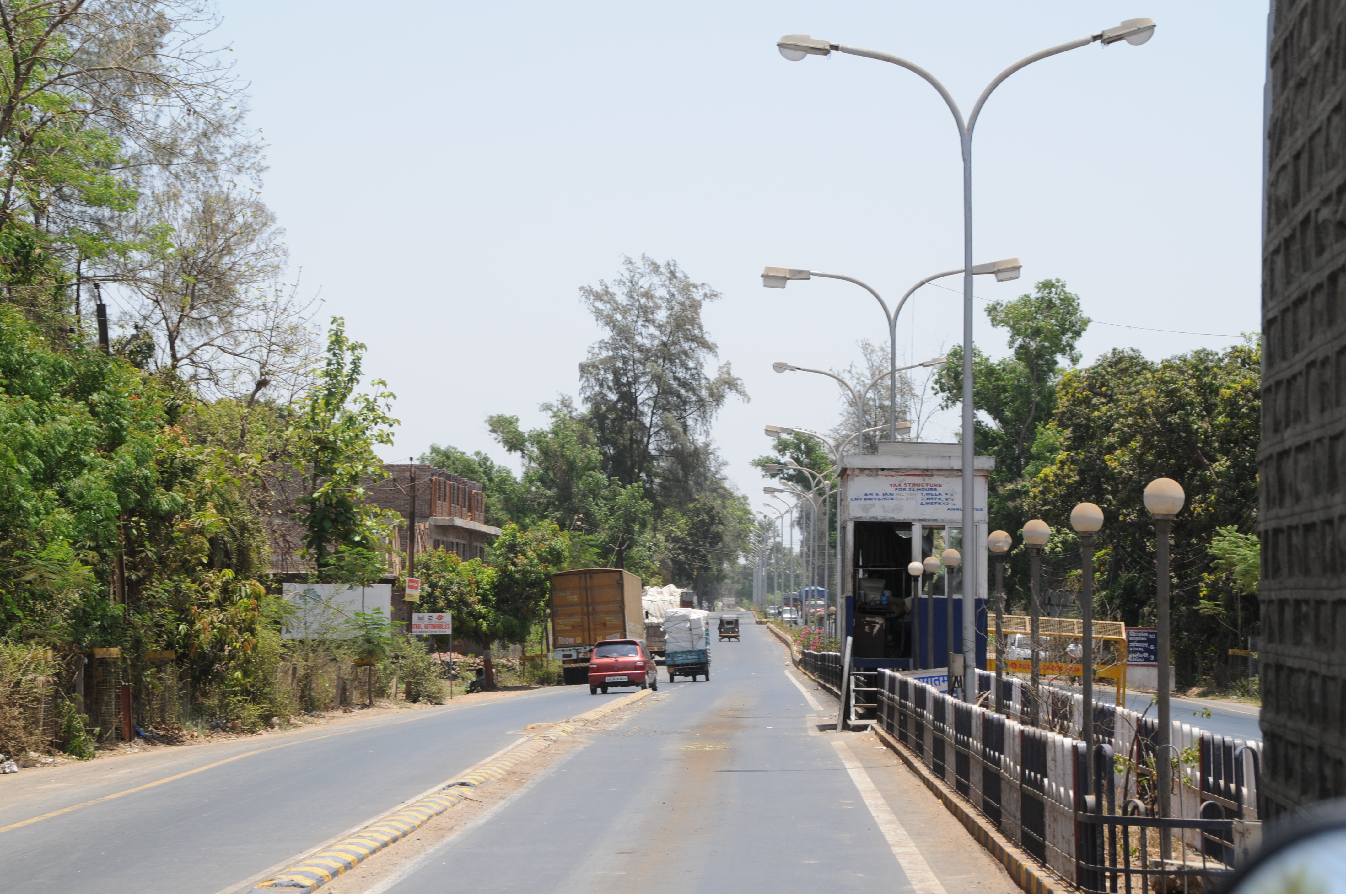
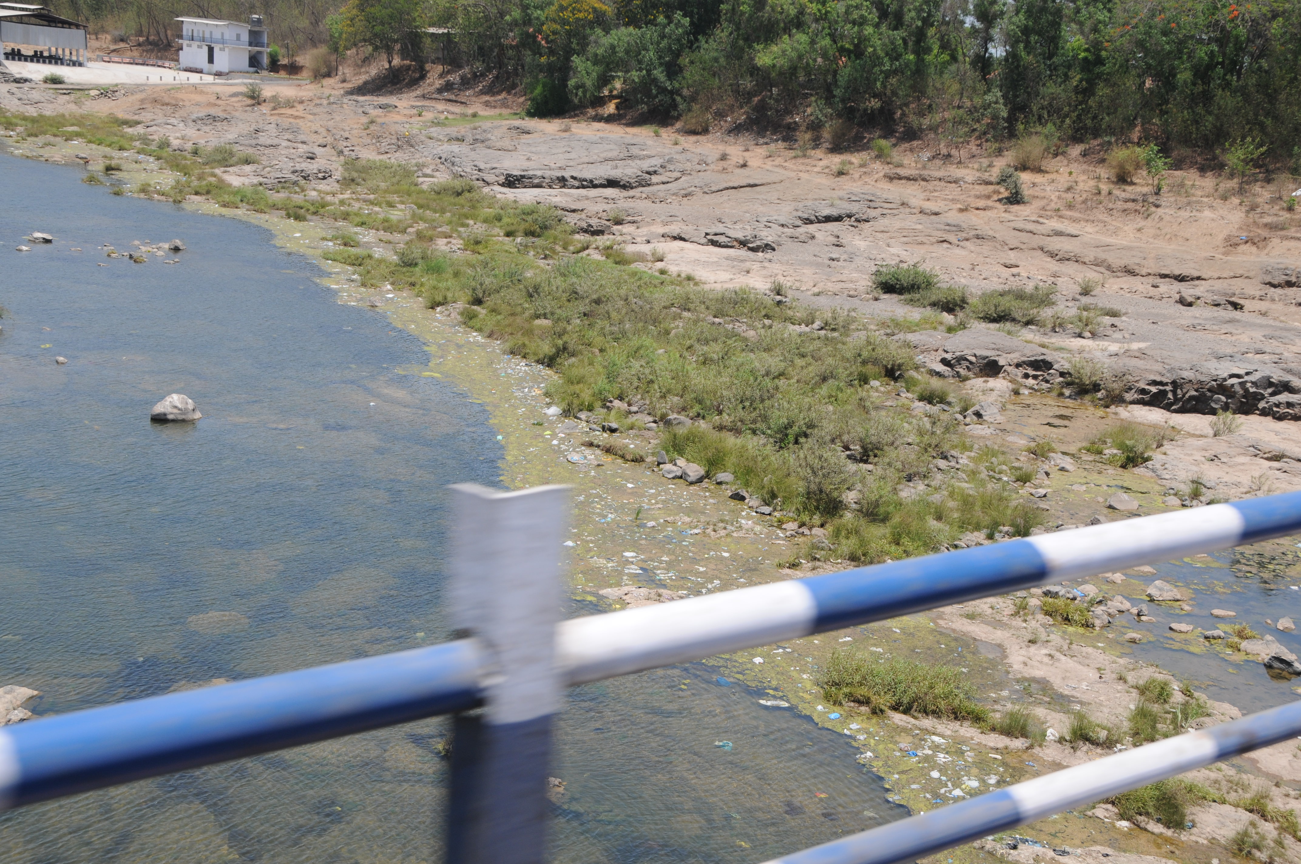
Related Photos:
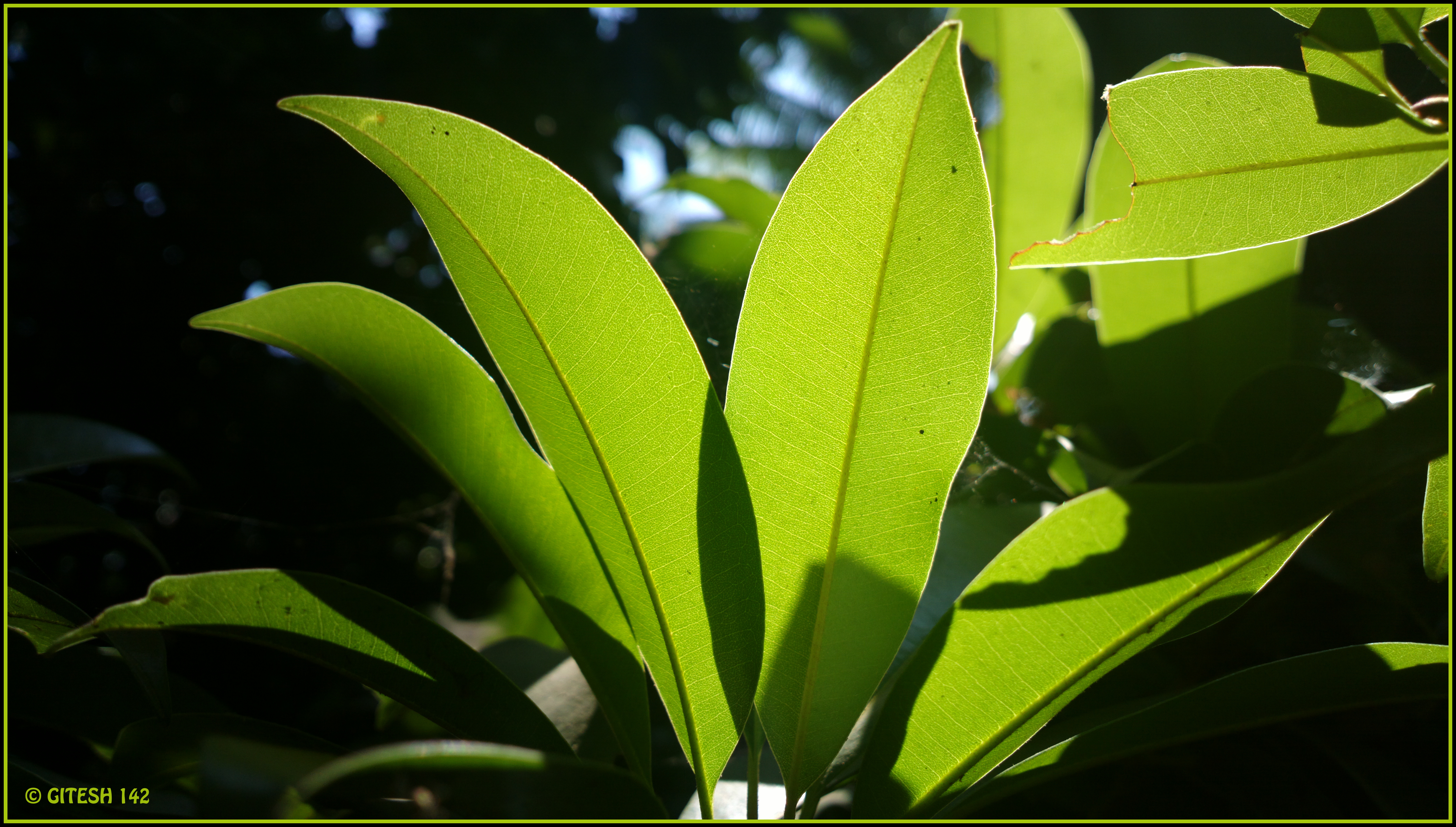
Leaves of sapota
CSP_6499.JPG

CSP_6469.JPG
CSP_6490.JPG
CSP_6485.JPG
CSP_6474.JPG

CSP_6472.JPG
CSP_6478.JPG
CSP_6477.JPG

CSP_6492.JPG

CSP_6500.JPG
CSP_6476.JPG

CSP_6489.JPG
CSP_6486.JPG
CSP_6495.JPG
CSP_6480.JPG
CSP_6501.JPG
CSP_6473.JPG

CSP_6497.JPG

CSP_6459.JPG
CSP_6491.JPG

HDR at vanganga garden silvasa
Topographic Map of Dadra and Nagar Haveli, India
Find elevation by address:

Places in Dadra and Nagar Haveli, India:
Places near Dadra and Nagar Haveli, India:
Velugam
Silvassa
Amli Ind. Estate
Dadra And Nagar Haveli
Hirwa Van Garden
Sutarpada
Dadra
Daman
Ddutcps
Daman
Daman And Diu
Killa-pardi
Dolhari Bk.
Zp School Bahirampada, Vikramgadh, Palghar
Matgaon
Nandore
Bilimora
Neela Apartment
Ayodhya Nagar
Dhirubhai Wadi
Recent Searches:
- Elevation of Corso Fratelli Cairoli, 35, Macerata MC, Italy
- Elevation of Tallevast Rd, Sarasota, FL, USA
- Elevation of 4th St E, Sonoma, CA, USA
- Elevation of Black Hollow Rd, Pennsdale, PA, USA
- Elevation of Oakland Ave, Williamsport, PA, USA
- Elevation of Pedrógão Grande, Portugal
- Elevation of Klee Dr, Martinsburg, WV, USA
- Elevation of Via Roma, Pieranica CR, Italy
- Elevation of Tavkvetili Mountain, Georgia
- Elevation of Hartfords Bluff Cir, Mt Pleasant, SC, USA